The best walks and hikes around Alstahaug
4.5
(121)
756
hikers
20
hikes
Hiking around Alstahaug offers diverse natural landscapes, characterized by the dramatic Seven Sisters mountain range rising from the sea. The region features a captivating blend of majestic mountains, picturesque islands, and expansive coastal vistas. Trails vary from accessible paths to demanding ascents, providing opportunities for various fitness levels to explore the unique interplay of mountains and sea.
Best hiking trails around Alstahaug
- The most popular hiking route is Skjæringen and Tvillingan – Alsta, a 6.6 miles (10.6 km) trail that takes about 7 hours 10 minutes to complete. This challenging route offers panoramic views of the archipelago from two of the Seven Sisters peaks.
- Another top favourite among local hikers is Dronningruta – Alsta, a difficult 7.4 miles (11.9 km) path. This trail provides extensive coastal views and significant elevation gain, showcasing the rugged beauty of the Helgeland coast.
- Local hikers also love the Kvasstinden Summit Trail, a 4.1 miles (6.6 km) trail leading through mountainous terrain, often completed in about 5 hours 15 minutes. This demanding ascent rewards hikers with sweeping vistas.
- Hiking around Alstahaug is defined by the iconic Seven Sisters mountain range, stunning coastal paths, and fjord views. The network offers options for both casual walkers and experienced mountaineers.
- The routes in Alstahaug are highly rated by the komoot community with an average score of 4.6 stars from more than 100 reviews. More than 700 hikers have used komoot to explore Alstahaug's varied terrain.
Last updated: August 19, 2026
4.7
(23)
168
hikers
10.6km
07:12
1,140m
1,140m
Hard hike. Very good fitness required. Mostly accessible paths. Sure-footedness required.
4.6
(13)
71
hikers
11.9km
07:49
1,100m
1,100m
Hard hike. Very good fitness required. Mostly accessible paths. Sure-footedness required.

Sign up for free
4.0
(2)
9
hikers
6.59km
05:15
900m
900m
Hike the difficult Kvasstinden Summit Trail for 4.1 miles (6.6 km) to Andøya's highest peak, gaining 2956 feet (901 metres).
3
hikers
3.47km
00:59
70m
70m
Easy hike. Great for any fitness level. Easily-accessible paths. Suitable for all skill levels.
4.8
(18)
108
hikers
6.58km
03:46
650m
650m
Moderate hike. Good fitness required. Mostly accessible paths. Sure-footedness required.
Get access to more routes and recommendations from other explorers.
Sign up for free
Already have an account?
Our route recommendations are based on thousands of hikes, rides, and runs completed by other people on komoot.
Start today with a free account
Your next adventure awaits.
Login or Signup
Popular around Alstahaug
Tips from the Community

Flowing through a coastal landscape just south of Sandnessjøen, Sørraelva is a local river that empties into the inner waters of the Botnfjorden. The area surrounding the river mouth features coastal meadows that serve as a quiet habitat for local wildlife.
0
0

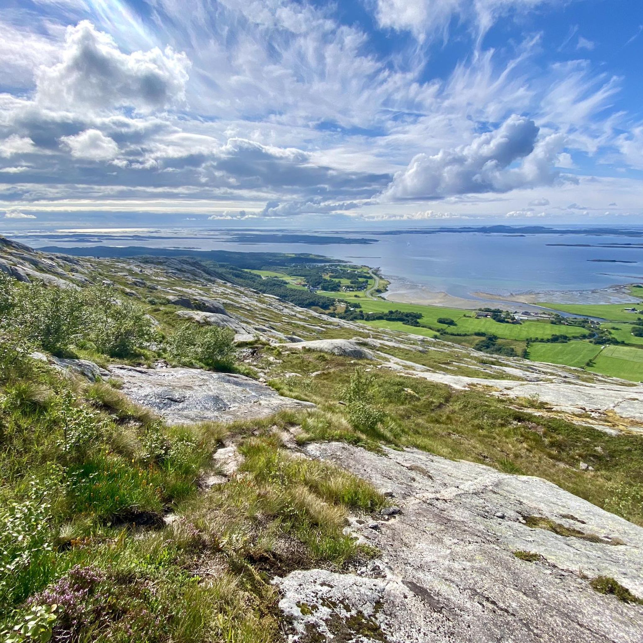
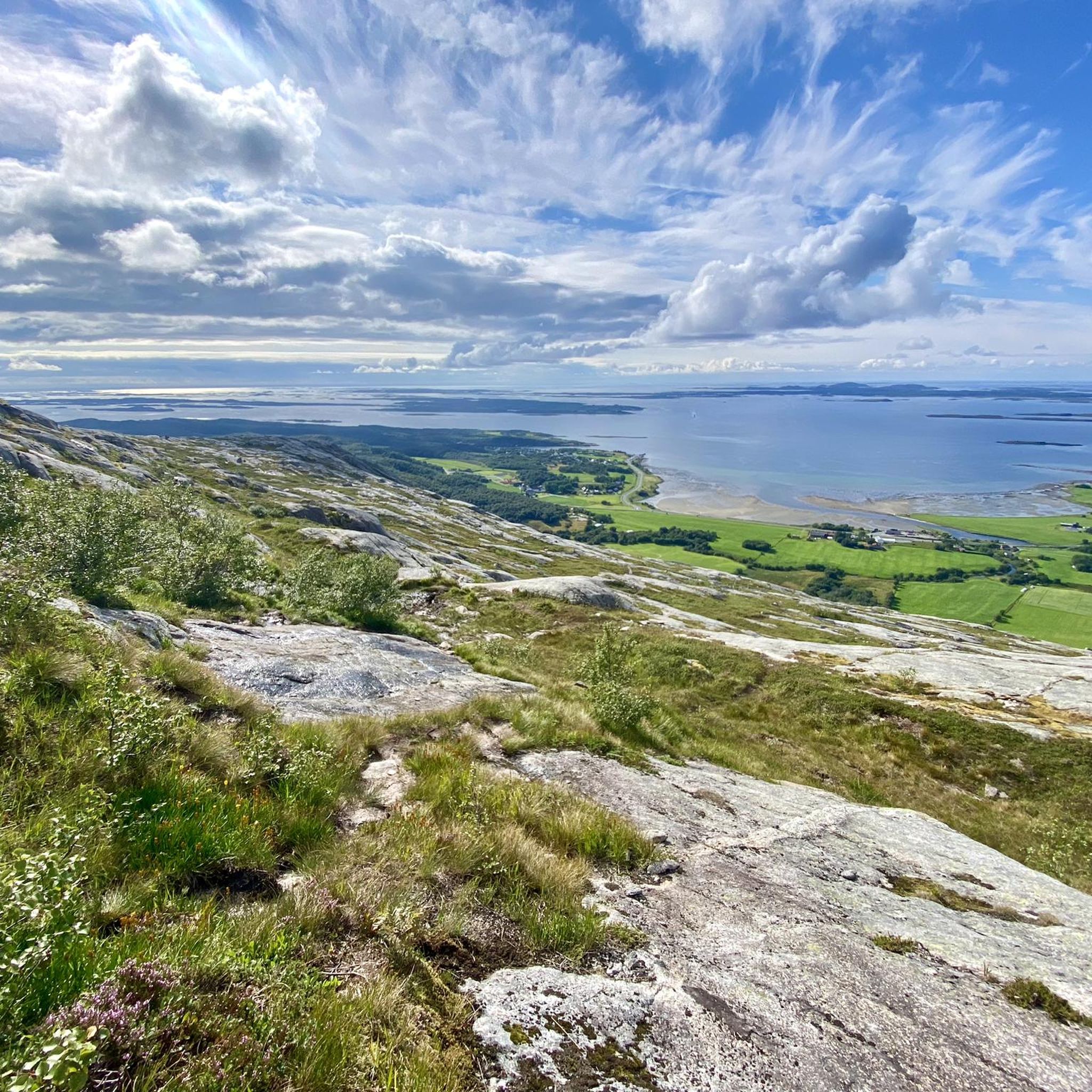
A dreamy spot: Crystal-clear water cascades from above, cascading into two small waterfalls into a natural pool. It collects there and flows out the other side. Ice-cold, but wonderful! Plus, an incredible view, either up to the mountain peaks or back to the Atlantic.
1
0

Even though many websites claim the hike to the fork is very easy and straightforward, we found it challenging. A head for heights and surefootedness are essential. The climb is very steep, requiring scrambling in many places, which is not without its risks for inexperienced hikers!
0
0

Kvasstind is one of the most demanding hikes in the Syv Søstre. The final 1,600 feet (500 m) is the steepest section and requires a good head for heights. Simply follow the red markers and enjoy the sense of achievement – as well as the remarkable views – when you get to the top.
0
0
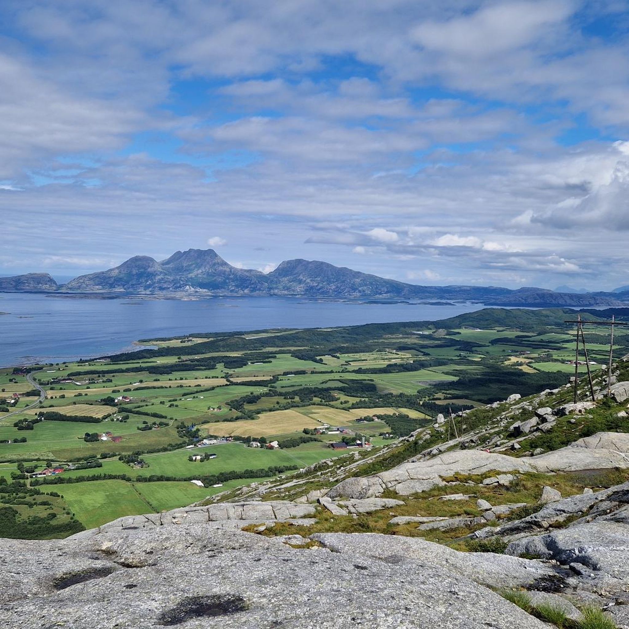
Grytfoten is the third highest summit in the Syv Søstre range, standing at 3,497 feet (1,066 m). It provides exceptional views across the surrounding landscape.
0
0
Skjæringen is often ascended along with the neighbouring Tvillingan (the Twins). The pull up to Aksla, the shoulder between the peaks, is relatively straightforward and the onward run is fairly gradual, ascending to the 3,402-foot (1,037 m) summit.
0
0
In the heart of the Syv Søstre (Seven Sisters), Tvillingan's summits are fantastic objectives that, unlike some others in the range, don't require technical scrambling. This makes them, along with neighbouring Skjæringen, a good option for a less committing run.
0
0
This is a dramatic rocky pass between the peaks of Kvasstind and Breidtind (also referred to as Stortind). To reach the summit of Kvasstind, continue to follow the red 'T' markers.
0
0
Frequently Asked Questions
How many hiking trails are available in Alstahaug?
Alstahaug offers a diverse network of over 15 hiking trails, catering to various skill levels. These routes explore the region's unique blend of mountains, islands, and coastal landscapes.
What kind of terrain can I expect on Alstahaug's hiking trails?
You can expect a varied terrain, from accessible paths to demanding ascents. The region is characterized by the dramatic Seven Sisters mountain range, coastal paths, and fjord views. Trails often involve rocky sections, forest paths, and open mountain terrain, with significant elevation changes on more challenging routes.
Are there hiking options for beginners or families in Alstahaug?
Yes, Alstahaug offers trails suitable for beginners and families. While many routes are challenging, there are easier paths available. For example, Skjæringen, one of the Seven Sisters peaks, is considered more accessible for families, offering unique perspectives without extreme difficulty.
What are some challenging hikes in Alstahaug for experienced hikers?
Experienced hikers seeking a challenge can explore routes like Skjæringen and Tvillingan – Alsta, which covers 6.6 miles with significant elevation gain across two of the Seven Sisters peaks. Another demanding option is Dronningruta – Alsta, a 7.4-mile path known for extensive coastal views and substantial ascent. The Kvasstinden Summit Trail also offers a demanding ascent with sweeping vistas.
Where can I find the most scenic views while hiking in Alstahaug?
For panoramic views, consider ascending any of the Seven Sisters peaks. Routes like Skjæringen and Tvillingan – Alsta offer spectacular vistas of the archipelago. Many trails provide breathtaking backdrops of the fjord and mainland, especially from higher elevations. You can also find stunning views from highlights like View of the Syv Søstre (Seven Sisters).
Are there any waterfalls or unique natural features to see on the trails?
Yes, you can discover unique natural features. The Waterfall – View of the fjord and mainland loop from Alsta route specifically features a waterfall. Additionally, the Markvollkulpen nature pool with waterfall is a notable highlight in the area.
What are some notable landmarks or points of interest around Alstahaug's hiking routes?
The most iconic landmarks are the individual peaks of the Seven Sisters mountain range, such as Skjæringen Peak and Botnkrona Summit. Other points of interest include Reinesaksla's plateau, Grytfotvatnet lake, and various viewpoints offering expansive coastal and fjord views.
Is there parking available at the trailheads in Alstahaug?
Yes, many trailheads for the Seven Sisters peaks, including those for Botnkrona, Grytfoten, Tvillingene, and Skjæringen, have developed parking lots. These often come with amenities like toilets, benches, and information boards, making access convenient for hikers.
Can I reach hiking trails in Alstahaug using public transport?
While specific public transport routes directly to all trailheads might be limited, Sandnessjøen, the regional center within Alstahaug, serves as a good starting point. From there, local buses or taxis might provide access to some trailheads. It's advisable to check local transport schedules for the most current information.
Are there any circular hiking routes in Alstahaug?
Yes, there are circular routes available. An example is the Waterfall – View of the fjord and mainland loop from Alsta, which offers a moderate loop experience. Many trails in the region are designed to be out-and-back or can be combined to form circular paths, especially around the base of the mountains or on the islands.
What do other hikers enjoy the most about hiking in Alstahaug?
The area is highly rated by the komoot community, with an average score of 4.6 stars. Reviewers often praise the dramatic scenery of the Seven Sisters, the stunning coastal and island vistas, and the diverse range of well-maintained trails that cater to all levels of hiking ability.
Is Alstahaug suitable for dog-friendly hiking?
Many trails in Alstahaug are suitable for hiking with dogs, provided they are kept on a leash, especially in areas with livestock or protected wildlife. It's always recommended to check local regulations or specific trail information for any restrictions before heading out with your dog.
Most popular routes around Alstahaug
Most popular attractions around Alstahaug

Get inspired with the komoot mobile app


Explore more
Browse the best Hikes in other regions.
