The best walks and hikes around Voigtstedt
4.6
(2519)
8,646
hikers
350
hikes
Hiking around Voigtstedt offers a variety of trails through a landscape characterized by gentle elevations and a mix of urban and natural features. The region includes paths along historical city walls, around local ponds, and near unique natural elements like brine springs. The terrain is generally flat to gently rolling, making it accessible for various activity levels.
Best hiking trails around Voigtstedt
- The most popular hiking route is Artern Town Hall – Artern city wall loop from Artern, a…
Last updated: July 9, 2026
5.0
(3)
15
hikers
8.38km
02:07
20m
20m
Moderate hike. Good fitness required. Easily-accessible paths. Suitable for all skill levels.
5.0
(3)
9
hikers
9.52km
02:28
60m
60m
Moderate hike. Good fitness required. Easily-accessible paths. Suitable for all skill levels.

Sign up for free
5.0
(3)
12
hikers
7.79km
02:04
70m
70m
Moderate hike. Good fitness required. Easily-accessible paths. Suitable for all skill levels.
5.0
(8)
11
hikers
11.4km
02:54
20m
20m
Moderate hike. Good fitness required. Easily-accessible paths. Suitable for all skill levels.
12
hikers
2.77km
00:43
20m
20m
Easy hike. Great for any fitness level. Easily-accessible paths. Suitable for all skill levels.
Get access to more routes and recommendations from other explorers.
Sign up for free
Already have an account?
Our route recommendations are based on thousands of hikes, rides, and runs completed by other people on komoot.
Start today with a free account
Your next adventure awaits.
Login or Signup
Tips from the Community

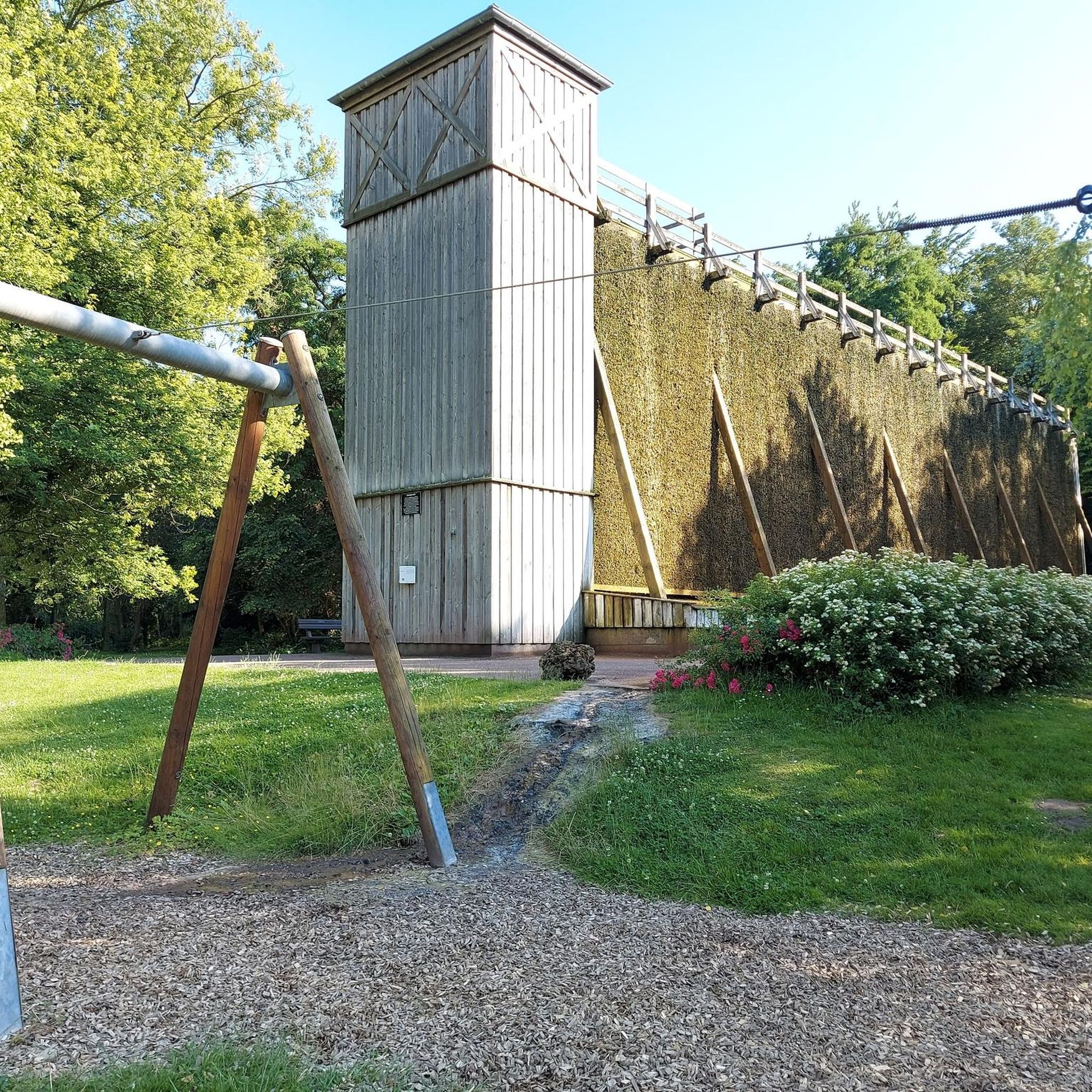
Here there are plants that are removed in other gardens as weeds or nuisances.
2
0
What began so inconspicuously was once something very special. Unfortunately, Artern never made it to the major saltwater spa (like Bad Kösen and Bad Dürrenberg).
1
0
Of the extensive railway system, only a stop remains. DB apparently no longer wants the building.
1
0


The old station building makes a solid impression from the outside. When the train came and stopped I was a bit shocked and thought to myself: "How am I supposed to get on with my bike and luggage on it 🤔🤔🤔?" Why this question? On March 18, 2024 I wanted to cycle from Bottendorf to Sangerhausen. I set off in wonderful sunshine. Shortly before Artern it got pretty cold and I decided to do that 🚂🚃🚃 to drive to Sangerhausen. And then came the hurdle - getting in - A step was extended to get in, but the entrance itself was very high from the curb to the step🤔. Which would have been difficult enough without the bike and luggage. I wouldn't have been able to get started on my own. Luckily there are nice, helpful people. At this point a big thank you to all the nice, helpful people 🤗🙏. In Sangerhausen the elevator that was supposed to go up to platform 4 was broken and a young, strong, helpful man came to help me there.
2
0


Remains of the Artern city wall. Can be found in Schafgasse
3
0
Frequently Asked Questions
How many hiking trails are available around Voigtstedt?
The Voigtstedt region offers a wide variety of hiking experiences, with over 350 routes recorded on komoot. These range from leisurely strolls to more challenging paths, ensuring there's something for every hiker.
Are there easy hiking trails suitable for beginners or casual walkers?
Yes, Voigtstedt is well-suited for easy hikes, with nearly 200 routes classified as easy. An example is the Talstraße Playground – Die Schlippe loop from Artern, which is just 1.7 miles (2.8 km) long and takes about 45 minutes to complete, offering a gentle introduction to the area's scenery.
What is the typical length and duration of hikes in the Voigtstedt area?
Hikes in Voigtstedt vary significantly. Many popular routes are moderate in length, such as the Artern Town Hall – Artern city wall loop from Artern, which is 5.1 miles (8.2 km) and takes around 2 hours. You'll find options ranging from short walks under an hour to longer excursions lasting several hours.
Are there any circular walks in Voigtstedt?
Yes, many of the trails in Voigtstedt are designed as loops, allowing you to start and end at the same point. A great example is the Artern Brine Spring loop from Artern, a 4.8 miles (7.8 km) route that explores the unique natural features of the area.
What kind of scenery can I expect on the hiking trails?
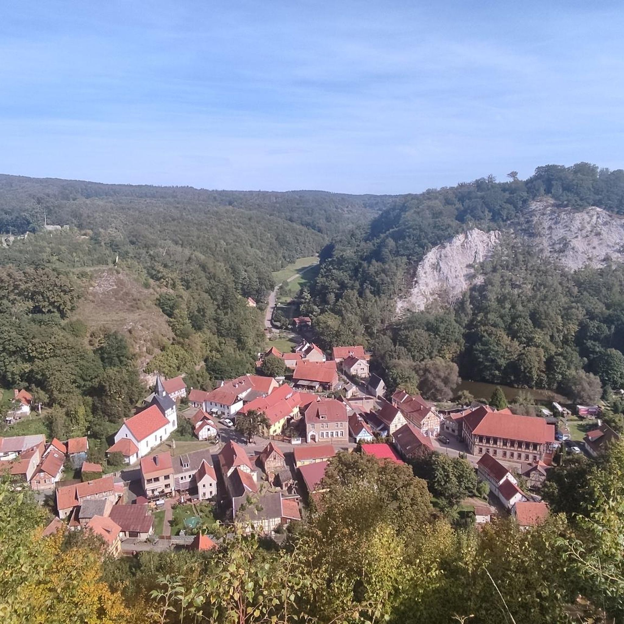
The landscape around Voigtstedt is characterized by gentle elevations, offering a mix of urban and natural features. You'll find paths along historical city walls, around local ponds, and near unique natural elements like brine springs. The terrain is generally flat to gently rolling.
Are there any historical sites or landmarks to see while hiking?
Absolutely. The region is rich in history. Many trails, like the Artern city wall – Artern Train Station loop from Artern, incorporate historical town features. Additionally, you can explore nearby castles such as Allstedt Castle or Wallhausen Castle, which are popular highlights in the vicinity.
Are there any lakes or ponds accessible from the hiking trails?
Yes, the Voigtstedt area features several beautiful water bodies. The Pond in Edersleben – Geocache loop from Edersleben is a great option that takes you past a local pond. Other notable lakes and ponds in the region include Melmensee and Sackteich.
What do other hikers enjoy most about hiking in Voigtstedt?
The komoot community highly rates the trails in Voigtstedt, with an average score of 4.6 stars from over 2,100 reviews. Hikers often praise the diverse scenery, the accessibility of the trails, and the blend of natural beauty with historical town elements.
Is the terrain suitable for families with children?
Yes, the generally flat to gently rolling terrain makes many trails in Voigtstedt suitable for families. There are numerous easy and moderate routes that offer pleasant walks for all ages, often passing through interesting urban or natural areas.
Can I bring my dog on the hiking trails around Voigtstedt?
Most hiking trails in the Voigtstedt region are dog-friendly, allowing you to enjoy the outdoors with your canine companion. However, it's always recommended to keep dogs on a leash, especially in populated areas or near wildlife, and to check for any specific local regulations on individual routes.
Are there options for longer, more challenging hikes?
While the region is known for its accessible terrain, there are also more challenging options available. Out of over 350 routes, 15 are classified as difficult, offering longer distances and more varied elevation changes for experienced hikers seeking a greater challenge.
Most popular attractions around Voigtstedt

Get inspired with the komoot mobile app


Explore more
Browse the best Hikes in other regions.
