The best road cycling routes around Vöhrenbach
4.6
(673)
9,910
riders
142
rides
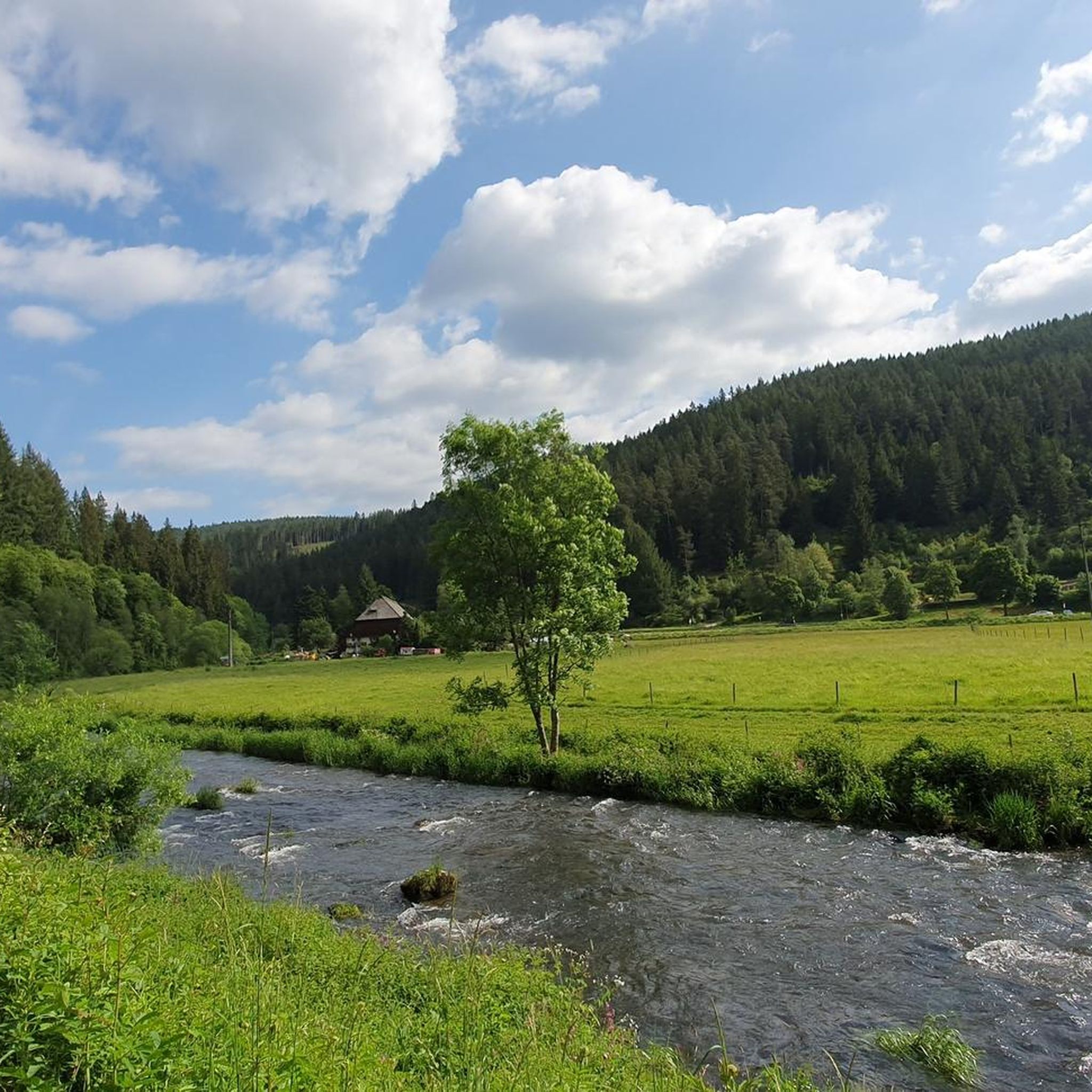
Road cycling routes around Vöhrenbach traverse the central Black Forest Highlands, offering diverse terrain at approximately 800 meters above sea level within the Breg valley. The region is characterized by rolling hills and significant elevation changes, providing a dynamic road cycling experience. Cyclists will find dense woodlands, idyllic valleys following river systems like the Breg and Brigach, and scenic paths. This area provides a comprehensive network of routes suitable for various fitness levels.
Best road cycling routes around Vöhrenbach
- The most popular road cycling route is Linachtalsperre Dam – Linach Dam loop from Linach, a 38.2 miles (61.4 km) trail that takes 2 hours 57 minutes to complete. This route features the notable Linachtalsperre Dam.
- Another top favourite among local road cyclists is Linachtalsperre Dam – Linach Dam loop from Vöhrenbach, an easy 15.8 miles (25.5 km) path. This shorter loop offers a less strenuous ride through the local landscape.
- Local road cyclists also love the View of the Schönwald Valley – Schönwald Village and Pond loop from Vöhrenbach, a 29.0 miles (46.7 km) trail leading through scenic valleys and past Schönwald Village, often completed in about 2 hours 13 minutes.
- Road cycling around Vöhrenbach is defined by rolling hills, dense woodlands, and idyllic river valleys. The network offers options for different ability levels, from easy loops to more demanding climbs.
- The routes in Vöhrenbach are highly rated by the komoot community with an average score of 4.6 stars from over 650 reviews. More than 10,000 road cyclists have used komoot to explore Vöhrenbach's varied terrain.
Last updated: October 8, 2026
4.8
(4)
69
riders
Moderate road ride. Good fitness required. Mostly well-paved surfaces and easy to ride.
4.4
(5)
42
riders
19.0km
00:54
260m
260m
Easy road ride. Great for any fitness level. Mostly well-paved surfaces and easy to ride.

5.0
(3)
32
riders
57.4km
03:26
1,430m
1,430m
Hard road ride. Very good fitness required. Mostly well-paved surfaces and easy to ride.
4.5
(2)
27
riders
Moderate road ride. Good fitness required. Mostly well-paved surfaces and easy to ride.
5.0
(1)
26
riders
Hard road ride. Very good fitness required. Mostly well-paved surfaces and easy to ride.
Get access to more routes and recommendations from other explorers.
Already have an account?
Our route recommendations are based on thousands of hikes, rides, and runs completed by other people on komoot.
Start today with a free account
Your next adventure awaits.
Popular around Vöhrenbach
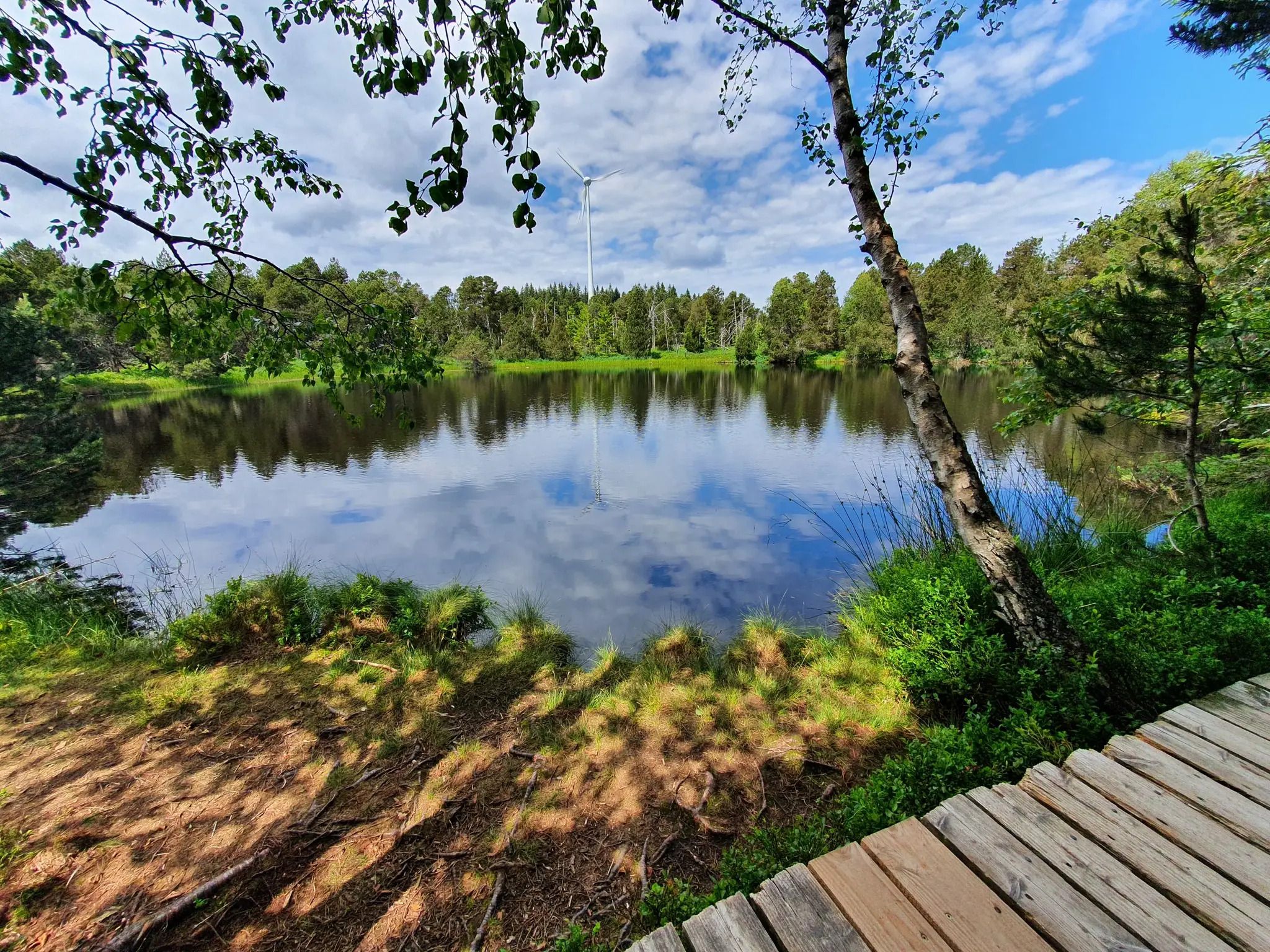
Hike the WasserWeltenSteig – Waterfalls, lakes and rivers of the Black Forest
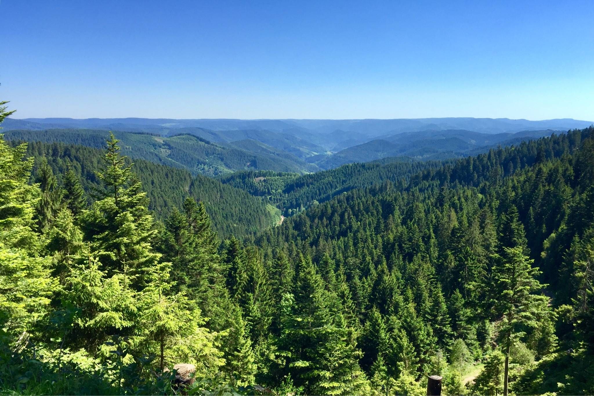
Westweg – Deep forests and bright heights through the Black Forest
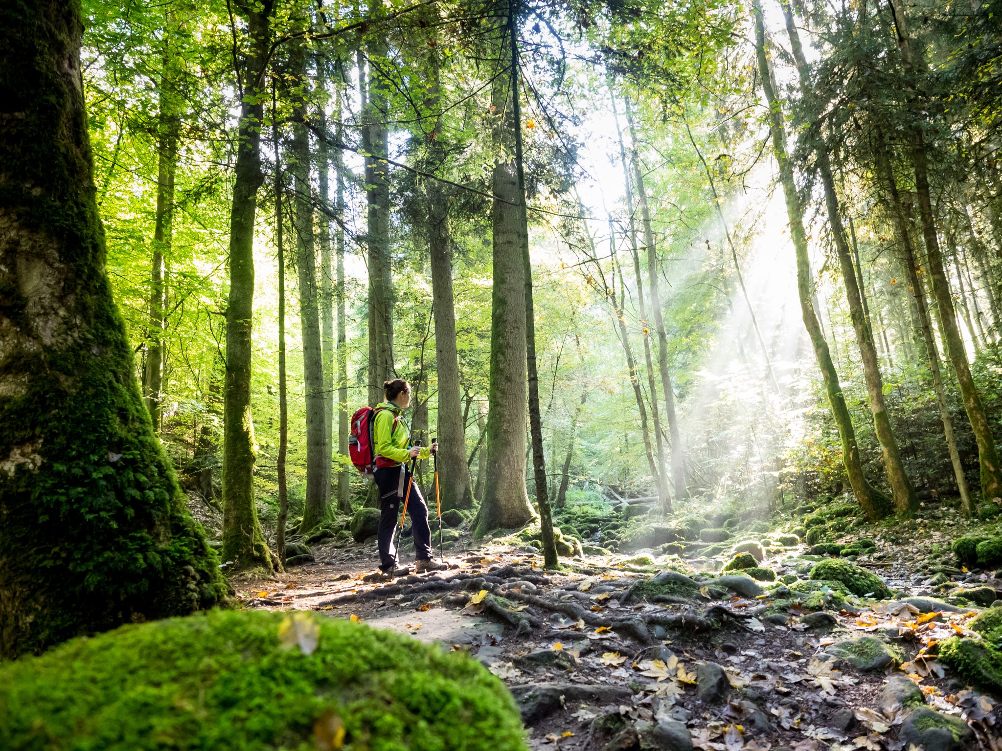
Far from the hustle and bustle – Hidden Trails in the Black Forest
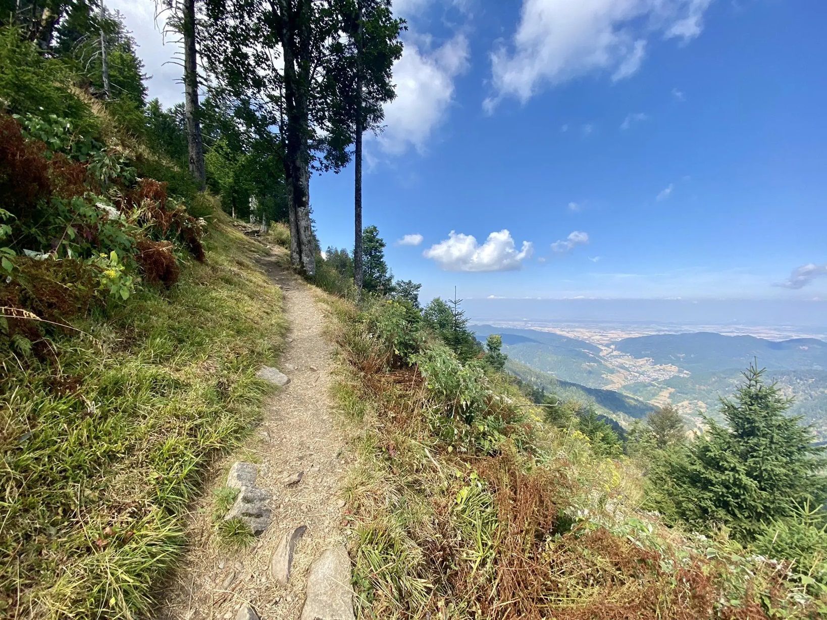
Three days Trailrunning on the Westweg
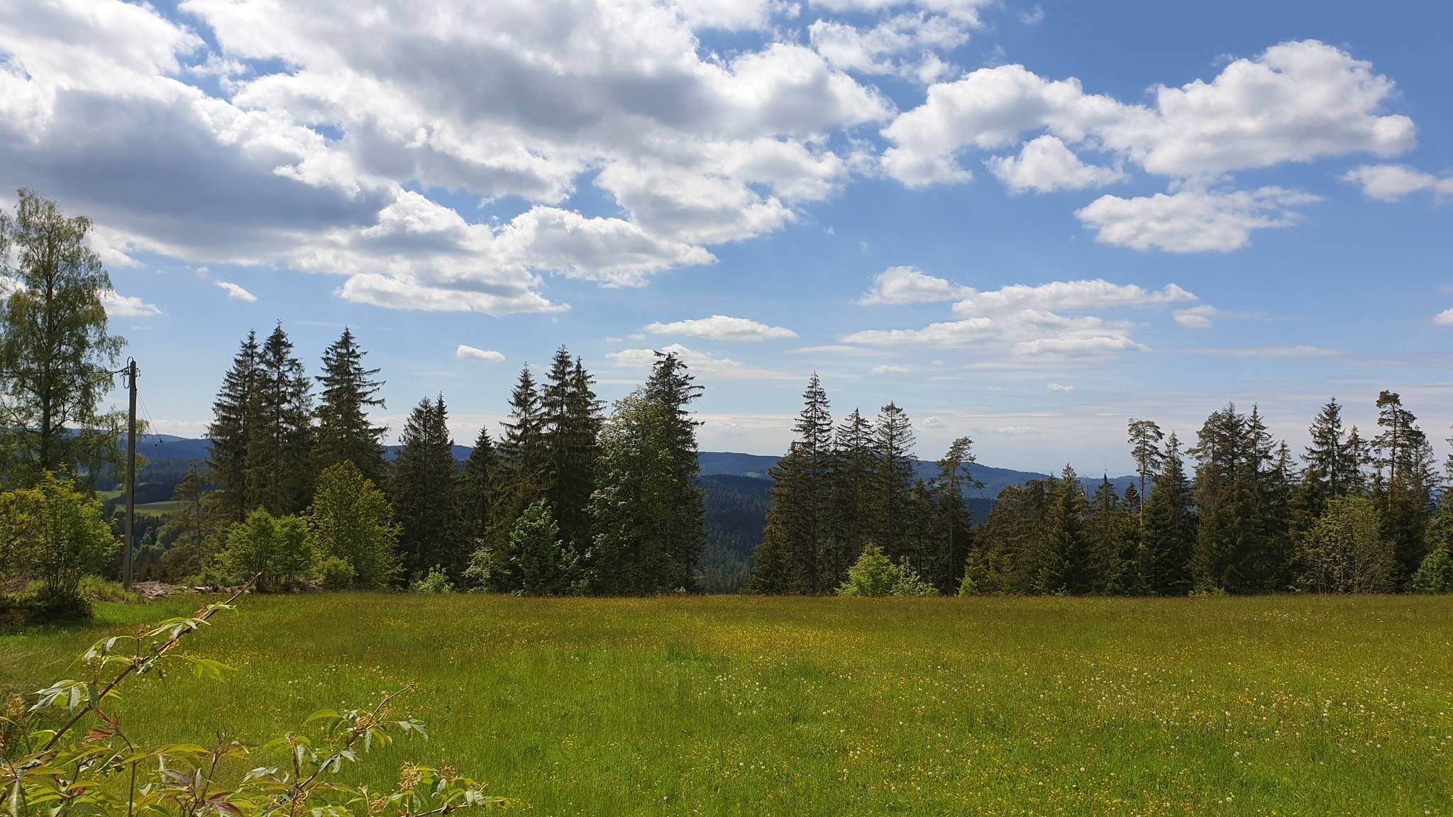
The Mittelweg of the Black Forest Association
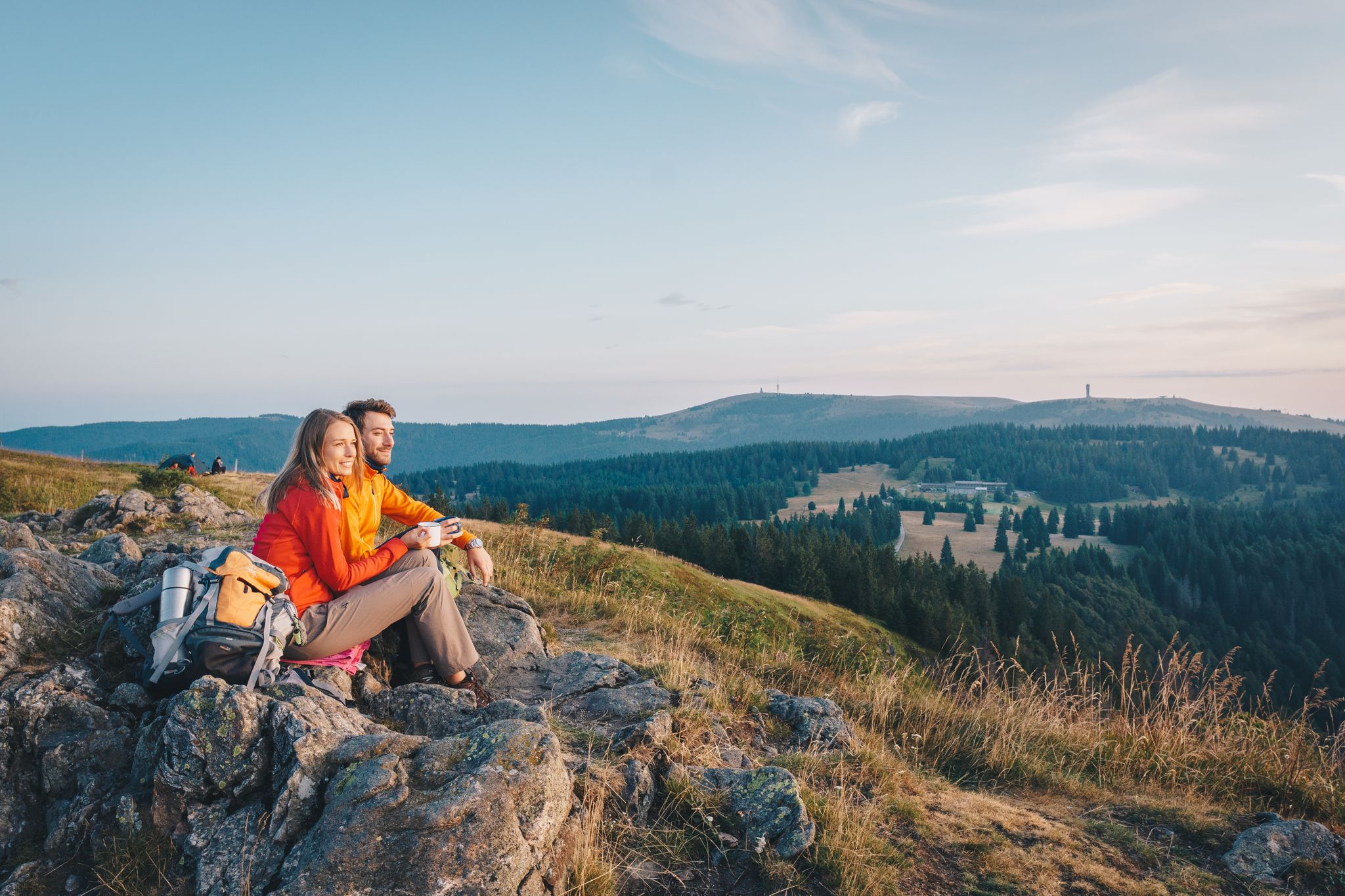
Hiking the Westweg in the Black Forest – Germany’s first long-distance trail
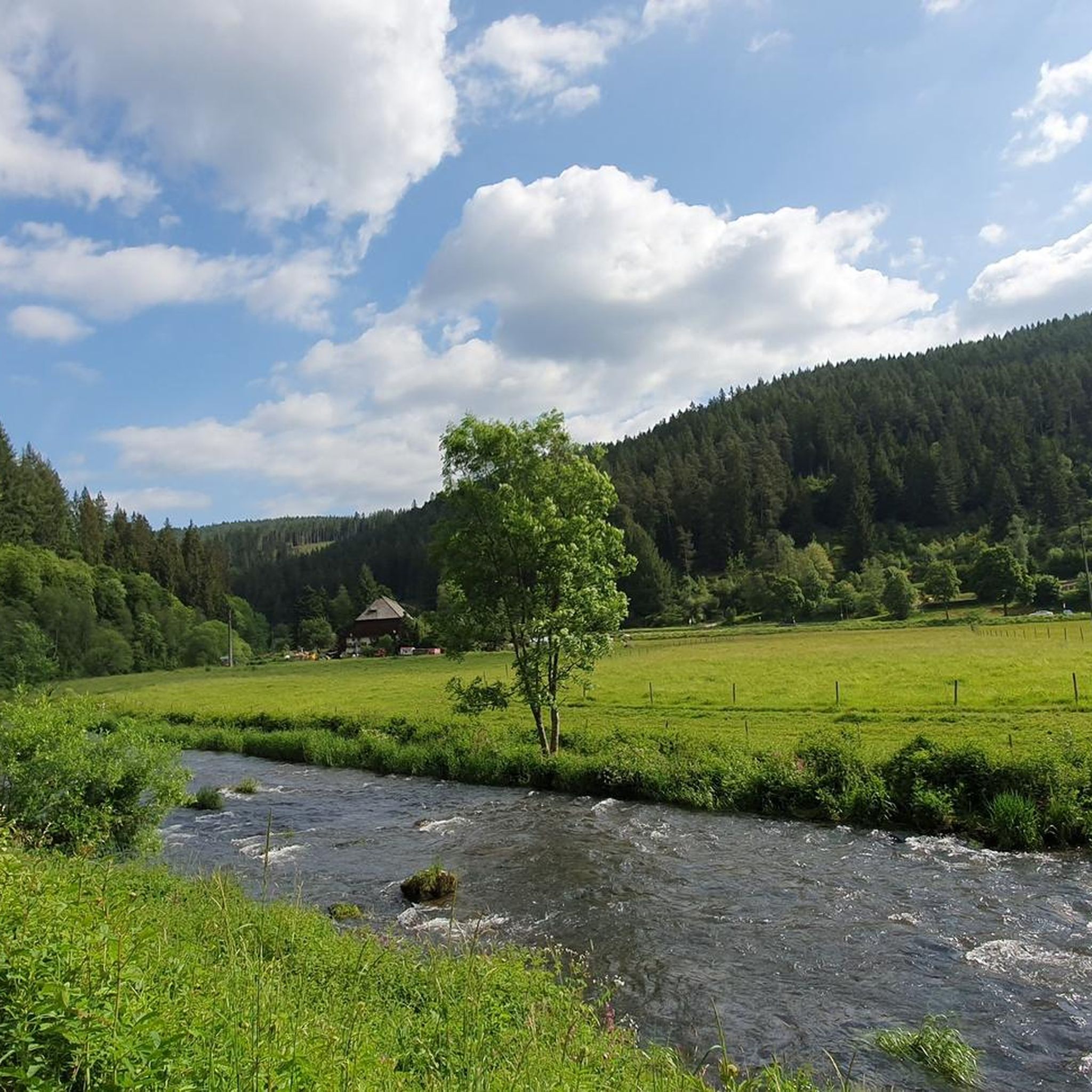
Hiking around Vöhrenbach
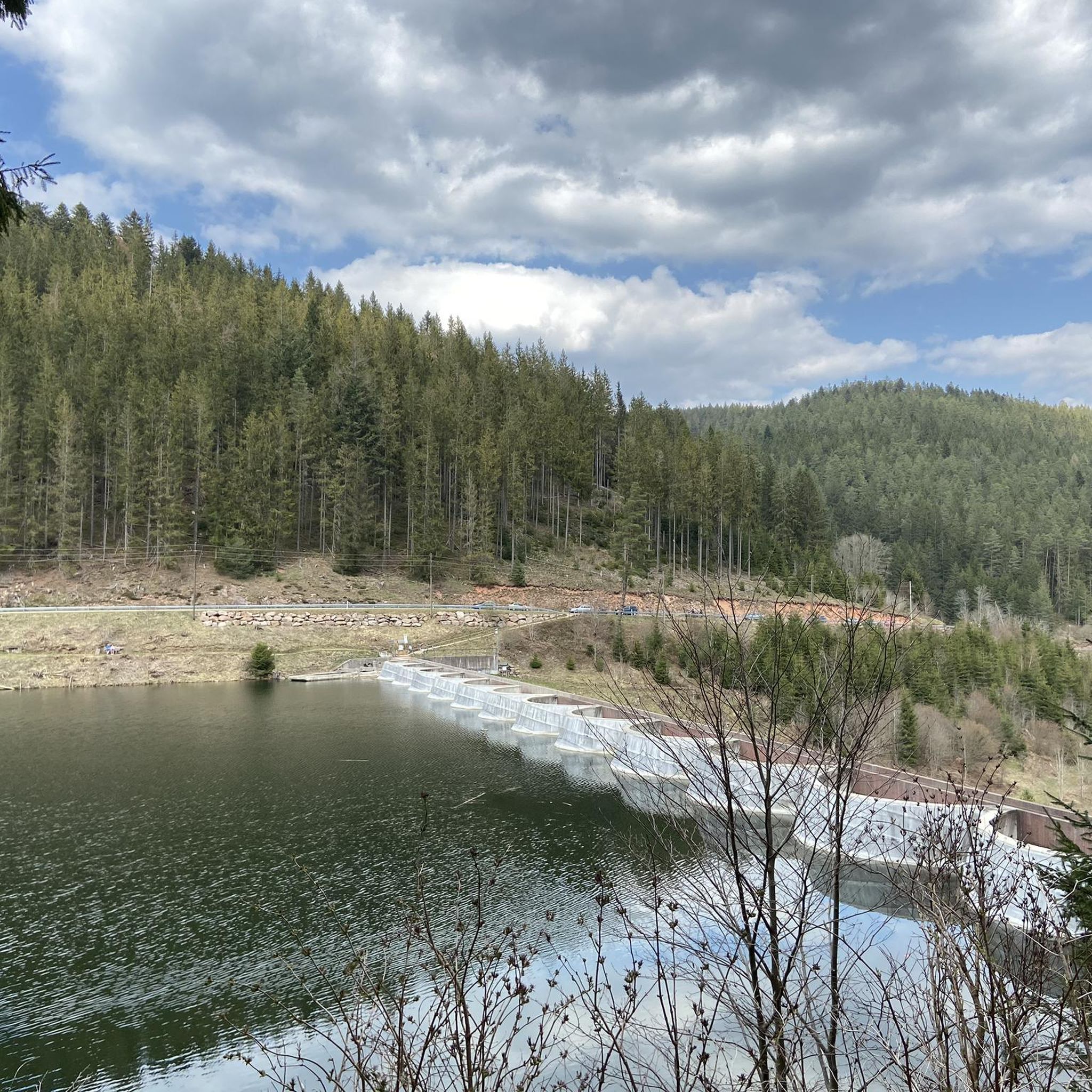
Cycling around Vöhrenbach
MTB Trails around Vöhrenbach
Gravel biking around Vöhrenbach
Other adventures around Vöhrenbach


Tips from the Community

The area is ideal for hiking and cycling
3
0

Very pleasant, traffic-calmed ascent to Schwärzenbach
1
0

Beautiful little cycle path, away from traffic
0
0

#dasistschwarzwakd
0
0

A beautiful view of the valley
1
0

Frequently Asked Questions
How many road cycling routes are available around Vöhrenbach?
Komoot offers over 180 road cycling routes around Vöhrenbach, catering to various skill levels. This is part of a broader network within the Black Forest Highlands, known for its diverse terrain.
What kind of terrain can I expect when road cycling in Vöhrenbach?
The region around Vöhrenbach, situated in the central Black Forest Highlands at approximately 800 meters above sea level, offers a dynamic road cycling experience. You'll encounter rolling hills, significant ascents and descents, dense woodlands, and idyllic valleys following river systems like the Breg and Brigach. The routes are mostly paved, providing a smooth surface for road bikes.
Are there road cycling routes suitable for beginners or those looking for an easier ride?
Yes, Vöhrenbach has several easy road cycling routes. For example, the Linachtalsperre Dam – Linach Dam loop from Vöhrenbach is an easy 15.8-mile (25.5 km) path that offers a less strenuous ride through the local landscape.
What are some challenging road cycling routes for experienced riders?
For experienced cyclists seeking a challenge, there are over 50 difficult routes available. A notable option is the Windgfällweiher – Windgfällweiher loop from Waldau Lachenhäusle, a 40.3-mile (64.8 km) route with significant elevation changes, offering a demanding ride through the Black Forest scenery.
What natural attractions can I see along the road cycling routes in Vöhrenbach?
Many routes offer access to stunning natural features. You can cycle past the legendary Blindensee, a lake in a hilly moorland, or explore the Triberg Waterfalls, one of Germany's highest waterfalls. The Zweribach Waterfalls and the surrounding Bannwald Forest are also accessible.
Are there any cultural or historical landmarks to explore while cycling?
Absolutely. The region is rich in history. You can visit the Linachtalsperre Dam, a recognized architectural monument with Germany's only vaulted dam, which is featured on routes like the Linachtalsperre Dam – Linach Dam loop from Linach. Vöhrenbach itself has a watchmaker house and a local history museum.
Are there circular road cycling routes available in Vöhrenbach?
Yes, many road cycling routes in Vöhrenbach are designed as loops, allowing you to start and end at the same point. Examples include the View of the Schönwald Valley – Schönwald Village and Pond loop from Vöhrenbach, which takes you through scenic valleys, and the various Linachtalsperre Dam loops.
What do other road cyclists enjoy most about road cycling in Vöhrenbach?
The area is highly rated by the komoot community, with an average score of 4.6 stars from over 650 reviews. Cyclists often praise the diverse terrain, from challenging climbs to scenic valley rides, and the well-maintained, mostly paved paths that wind through dense woodlands and past picturesque natural and cultural landmarks.
Is it possible to access road cycling routes using public transport?
Vöhrenbach is connected to regional public transport networks, which can help access various starting points for routes. The Black Forest region generally has good public transport options, though specific route access may require checking local bus or train schedules.
Are there good parking options near the road cycling trails?
Yes, Vöhrenbach and surrounding villages typically offer parking facilities, often near trailheads or in town centers, making it convenient to start your road cycling tour. Specific parking details can usually be found on individual route descriptions on komoot.
What is the best time of year for road cycling in Vöhrenbach?
The warmer months, particularly from late spring to early autumn (May to October), are generally ideal for road cycling in Vöhrenbach. During this period, the weather is pleasant, and the Black Forest scenery is at its most vibrant. June is noted as a popular month for cycling in the area.
Are there any long-distance cycling trails that pass through or near Vöhrenbach?
Yes, Vöhrenbach is well-connected to several long-distance cycling trails. The Nature Park Cycle Trail, which spans approximately 260 kilometers through the northern and central Black Forest, runs nearby. Additionally, the German Watch Route, linking cultural and historical sites related to watchmaking, also passes through Vöhrenbach.
Most popular routes around Vöhrenbach
Most popular attractions around Vöhrenbach

Get inspired with the komoot mobile app


Explore more
Browse the best Road cycling routes in other regions.
