The best walks and hikes around Haram
4.6
(1907)
11,156
hikers
14
hikes
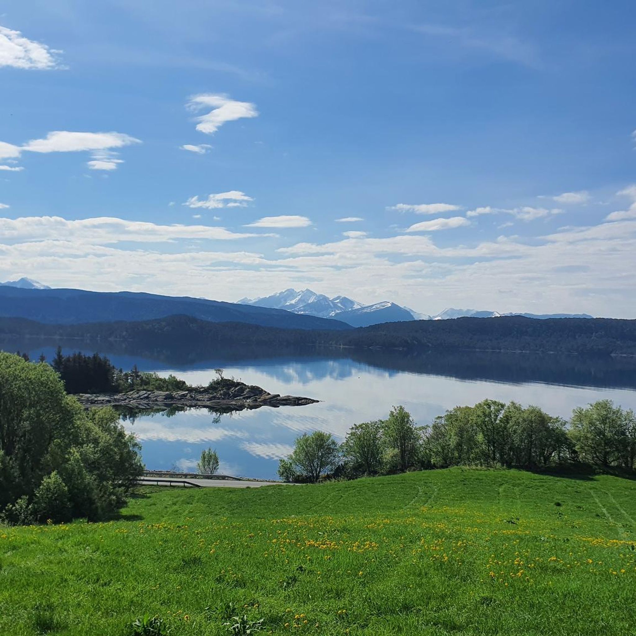
Hiking around Haram features a landscape characterized by coastal paths, forested areas, and moderate ascents. The region offers a variety of terrain, from gentle loops near the water to more challenging climbs towards higher elevations. These routes provide opportunities to explore the natural features of the area.
Best hiking trails around Haram
- The most popular hiking route is Hopelia – Lemmane loop from Brattvåg kyrkje, a 4.2 miles (6.8 km) trail that takes 1 hour 49 minutes to complete.…
Last updated: October 23, 2026
4.3
(8)
24
hikers
4.87km
02:14
470m
470m
Moderate hike. Good fitness required. Easily walkable paths.
4.0
(2)
14
hikers
12.8km
04:57
880m
880m
Moderate hike. Good fitness required. Easily walkable paths.

6
hikers
5.96km
03:34
620m
620m
Moderate hike. Good fitness required. Mostly walkable paths. Sure-footedness required.
5.0
(2)
4
hikers
12.3km
05:21
1,070m
1,070m
Hard hike. Very good fitness required. Easily walkable paths.
5.0
(1)
3
hikers
9.47km
02:55
330m
330m
Moderate hike. Good fitness required. Easily walkable paths.
Get access to more routes and recommendations from other explorers.
Already have an account?
Our route recommendations are based on thousands of hikes, rides, and runs completed by other people on komoot.
Start today with a free account
Your next adventure awaits.



Tips from the Community

This viewpoint looks across to Ona Lighthouse, an iconic red beacon standing on Onakalven, the highest point of the island. Built in 1867, the lighthouse rises above the historic fishing village and the open Atlantic, creating a striking coastal scene.
0
0
Mannen is a modest but spectacular summit rising 377 metres above sea level. The short, steep trail leads to a panoramic viewpoint over the surrounding coastline, beaches, and rugged Lofoten landscape.
0
0

A broad, rocky section of the Storelva invites hikers to hop across on stepping stones before continuing towards Melen. In normal conditions the crossing is straightforward, but higher water levels may require extra care when choosing a safe route across the stream.
0
0
At 806 m, Melen rewards hikers with sweeping views across Tomrefjorden, the Sunnmøre Alps and, on clear days, as far as Ålesund and the open Norwegian Sea. Its broad summit contrasts with the steep cliffs that plunge dramatically toward Fiksdalen, making it one of the area's most scenic viewpoints.
0
0

From this point you have a 360-degree panorama over the beautiful landscape full of lakes and rolling hills. Absolutely worth it!
0
0
This trail leads you to Grotshornet at around 600 m. The trail is beautiful and starts near the main road, where you have a stunning sea view.
0
0

Hellandshornet sits below Keipen and Storfjellet at 883 metres. It commands great views out over the fjords, and it is normally hiked as part of a longer traverse that can go as far as Urfjellet.
0
0
Keipen, at 916 metres high, is a subsidiary summit of Storfjellet, which rises above it to 950 metres. It has a similar rocky summit with grand views out over Samfjorden on one side and Vatnefjorden on the other. The summit is quite unique, having large stone slabs standing on edge like jagged teeth.
0
0
Frequently Asked Questions
How many hiking trails are available in Haram?
Haram offers a wide selection of hiking opportunities, with over 130 routes recorded on komoot. These trails cater to various preferences, from gentle coastal walks to more demanding ascents.
What kind of terrain can I expect when hiking in Haram?
Hiking in Haram is characterized by diverse terrain, including coastal paths, forested areas, and moderate ascents. You'll find routes that offer views of the local landscape, as well as paths leading to higher elevations with panoramic summit views.
Are there easy hiking options suitable for beginners in Haram?
Yes, Haram has plenty of easy hiking options. Approximately 78 of the available routes are classified as easy. An example is the Hopelia – Lemmane loop from Brattvåg kyrkje, which is 4.2 miles (6.8 km) long and takes about 1 hour 49 minutes to complete.
Can I find challenging or advanced hiking routes in Haram?
For those seeking a challenge, Haram offers 6 difficult routes and 46 moderate routes. A moderate option with significant elevation gain is the Skjerveheian – Hellandshornet Summit loop from Brattvåg kyrkje, a 5.5 miles (8.9 km) path leading to summit views.
Are there any circular hiking trails in Haram?
Yes, many trails in Haram are designed as loops, allowing you to start and end at the same point. Examples include the Hopelia – Lemmane loop from Brattvåg kyrkje and the Hestenebba loop from Rekdalssetra, which takes you through varied terrain.
What are some notable viewpoints or natural features to see on hikes in Haram?
Haram and its surroundings offer several stunning viewpoints and natural features. You can find highlights such as the View of Ålesund from Fjellstua, the Sukkertoppen Summit (314 m), and the View of Midsund and Digergubben. The region also features various lakes and coastal vistas.
Are there family-friendly hiking trails in Haram?
Many of the easy routes in Haram are suitable for families. Trails with lower elevation gain and shorter distances, such as the View of Molnes Beach loop from Roald, provide enjoyable outings for all ages.
What do other hikers say about the trails in Haram?
The hiking trails in Haram are highly regarded by the komoot community, boasting an average rating of 4.6 stars from over 1400 reviews. Hikers frequently praise the diverse landscapes, from coastal views to forested sections, and the well-maintained paths.
Are there any specific attractions or landmarks near the hiking routes?
Beyond the trails themselves, you can explore various attractions. Nearby highlights include several mountain peaks like Kniven Summit Weather Vane, and serene lakes, some featuring facilities like the Kayak Dock, Ålesund, or even unique shelters like the Viking Shelter by Lake in Norway.
What is the best time of year to go hiking in Haram?
The best time for hiking in Haram generally aligns with the warmer months, typically from late spring to early autumn, when the weather is milder and trails are clear. This period allows for comfortable exploration of both coastal and higher elevation routes.
Are dogs allowed on hiking trails in Haram?
While specific regulations can vary by trail or protected area, generally, dogs are welcome on many hiking trails in Haram, especially if kept on a leash. It's always recommended to check local signage or specific route details for any restrictions before heading out with your pet.
Are there less crowded hiking trails in Haram?
With over 130 routes available, it's possible to find less crowded trails, especially outside of peak tourist seasons or by exploring some of the lesser-known paths. While popular routes like the Hopelia – Lemmane loop are well-frequented, many other options offer a more tranquil experience.
Most popular attractions around Haram

Get inspired with the komoot mobile app


Explore more
Browse the best Hikes in other regions.
