The best road cycling routes around Nøtterøy
4.4
(63)
2,434
riders
174
rides
Road cycling routes around Nøtterøy offer a diverse landscape for cyclists, characterized by coastal stretches, cultural farmlands, and gently rolling hills. The island, the largest in Vestfold county, features mostly paved surfaces suitable for road bikes. Connections via bridges and ferries allow for extended rides to neighboring islands like Tjøme, providing varied terrain and scenic ocean views. The highest point on Nøtterøy reaches 99.7 meters, offering engaging ascents without overly steep climbs.
Best road cycling routes around Nøtterøy
- The most popular road cycling route is Tønsberg – Vippefyret at Verdens Ende loop from Tønsberg, a 39.0 miles (62.7 km) trail that takes 2 hours 46 minutes to complete. This moderate route leads to the iconic Verdens Ende with its distinctive beacon and coastal views.
- Another top favourite among local road cyclists is Tønsberg Harbour – Tønsberg loop from Tønsberg, a moderate 34.1 miles (54.8 km) path. This route transitions from urban environments to rural and cultural landscapes, offering scenic ocean views along the way.
- Local road cyclists also love the Strengsdalvannet loop from Føynland, a 23.2 miles (37.3 km) trail leading through varied island terrain, often completed in about 1 hour 42 minutes.
- Road cycling around Nøtterøy is defined by coastal paths, cultural farmlands, and slightly hilly areas, with options available for different ability levels.
- The routes in Nøtterøy are highly rated by the komoot community with an average score of 4.4 stars from over 50 reviews. More than 2000 road cyclists have used komoot to explore Nøtterøy's varied terrain.
Last updated: August 22, 2026
4.3
(6)
157
riders
62.8km
02:47
550m
550m
Moderate road ride. Good fitness required. Mostly well-paved surfaces and easy to ride.
5.0
(1)
62
riders
54.1km
02:29
480m
480m
Moderate road ride. Good fitness required. Some segments of this route may be unpaved and difficult to ride.

Sign up for free
3.5
(6)
50
riders
37.3km
01:42
360m
360m
Moderate road ride. Good fitness required. Mostly well-paved surfaces and easy to ride.
4.1
(8)
50
riders
48.2km
02:20
440m
440m
Moderate road ride. Good fitness required. Mostly well-paved surfaces and easy to ride.
4.8
(4)
23
riders
31.8km
01:25
260m
260m
Moderate road ride. Great for any fitness level. Some segments of this route may be unpaved and difficult to ride.
Get access to more routes and recommendations from other explorers.
Sign up for free
Already have an account?
Our route recommendations are based on thousands of hikes, rides, and runs completed by other people on komoot.
Start today with a free account
Your next adventure awaits.
Login or Signup
Tips from the Community

The ferry to Husøy is a charming little crossing that gently carries you over the water toward the island.
0
0
The ferry to Husøy is a charming little crossing that gently carries you over the water toward the island.
0
0

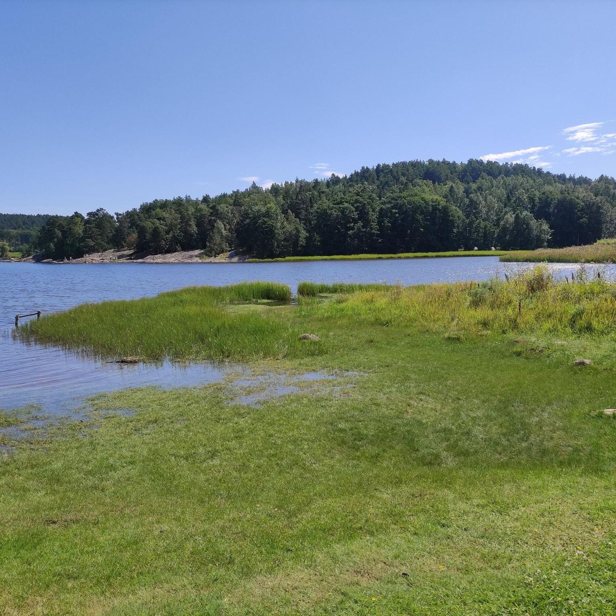
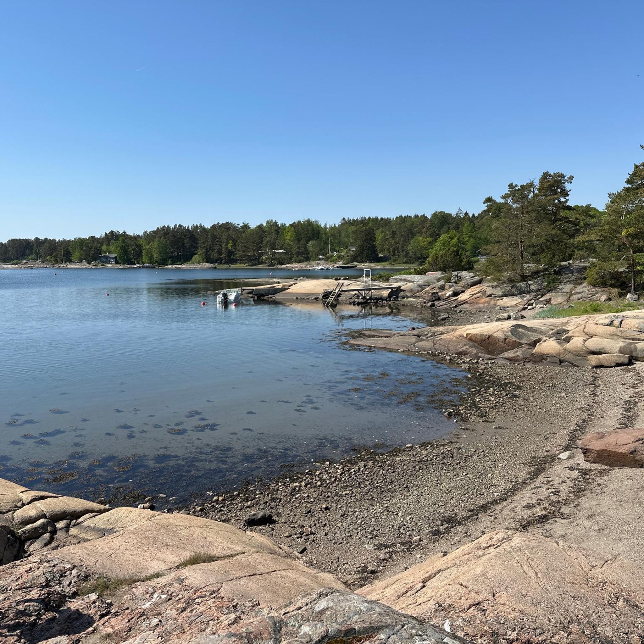
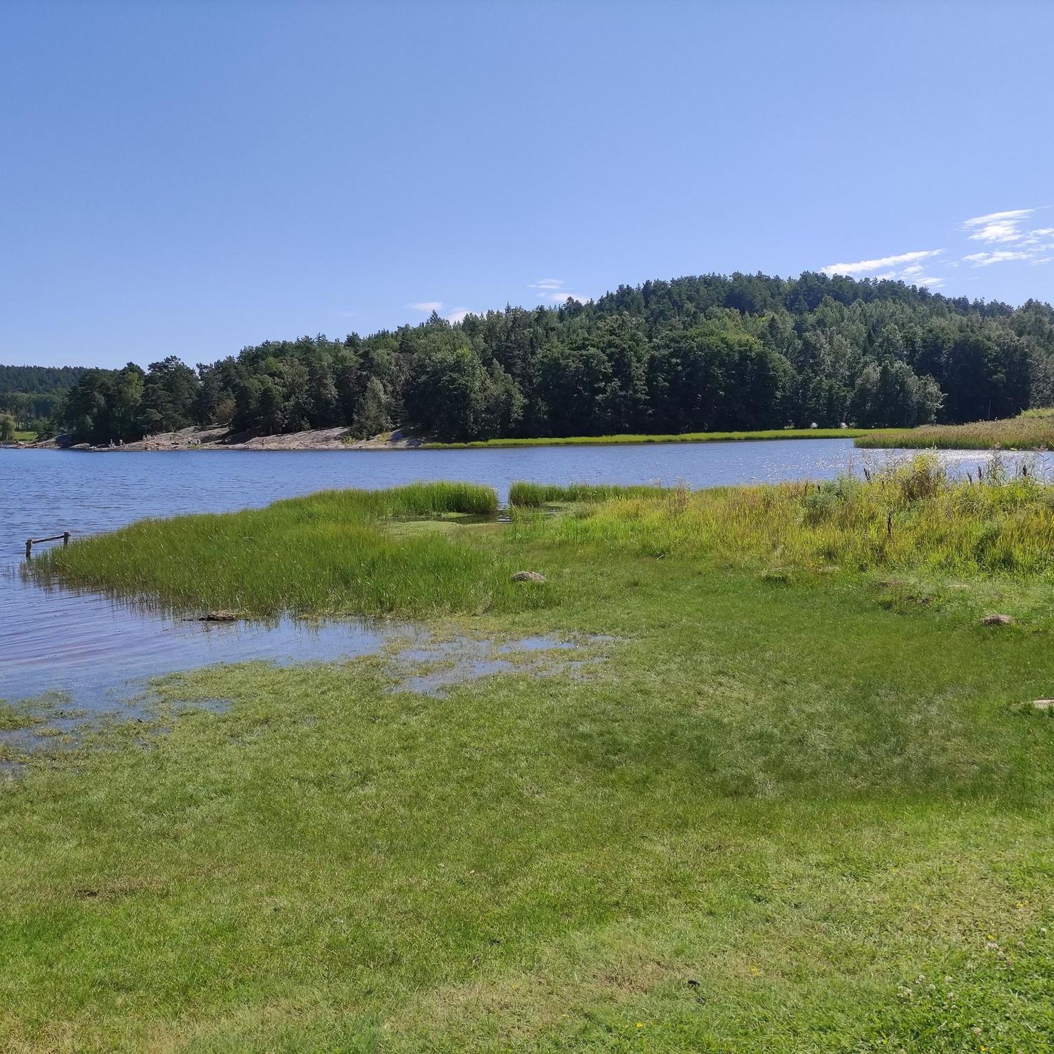
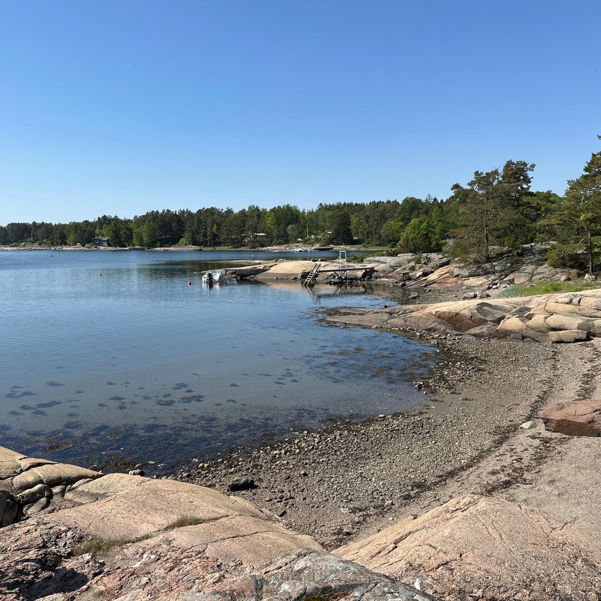
Tufta is a small neighbourhood set in pleasant surroundings. You can choose to go for a walk in the fields, in the woods or along the water’s edge.
0
0

You can relax and enjoy a picnic on the beach. A small car park and toilets are available.
0
0

Nice place, some cafés, a smith, and a Viking ship that is being rebuilt.
2
0

You can ride safely on the pedestrian lane all the way from Tønsberg to Verdens Ende. Not an easy ride, but anyone from a teenager and up should be able to do it with enough time. The buss goes the same route so if a problem occurs just bus back.
0
0
Frequently Asked Questions
How many road cycling routes are available in Nøtterøy?
There are nearly 200 road cycling routes around Nøtterøy listed on komoot. These routes cater to various skill levels, with 42 easy, 116 moderate, and 28 difficult options available.
What kind of terrain can I expect on Nøtterøy's road cycling routes?
Nøtterøy offers a diverse landscape for road cyclists, featuring coastal stretches, cultural farmlands, and gently rolling hills. The island's highest point is Veten at 99.7 meters, providing engaging ascents without overly steep climbs. Most surfaces are paved, making them ideal for road bikes.
Are there any family-friendly road cycling routes in Nøtterøy?
Yes, Nøtterøy has several routes suitable for families, particularly those looking for less challenging rides. The island's landscape includes many coastal paths and cycleways that are generally gentle. Look for routes categorized as 'easy' on komoot for the most family-friendly options.
What are some scenic viewpoints or attractions along the cycling routes?
Many routes offer stunning ocean views and pass by notable attractions. A popular destination is Verdens Ende (World's End) Beacon at the southern tip of neighboring Tjøme, easily accessible from Nøtterøy. Here you can also find unique Stone Sculptures. Other historical sites like Torås Fort are also along some routes.
What do other road cyclists enjoy most about cycling in Nøtterøy?
The road cycling experience in Nøtterøy is highly rated by the komoot community, with an average score of 4.4 stars from over 50 reviews. Cyclists often praise the varied terrain, the beautiful coastal scenery, and the well-maintained paved surfaces that make for an enjoyable ride.
Are there any loop trails for road cycling in Nøtterøy?
Yes, many of the road cycling routes in Nøtterøy are designed as loops, allowing you to start and end at the same point. An example is the Strengsdalvannet loop from Føynland, which takes you through varied island terrain.
What is the best time of year to go road cycling in Nøtterøy?
Nøtterøy benefits from a mild climate, making it pleasant for outdoor activities. The warmer months, typically from spring through early autumn, offer the most comfortable conditions for road cycling, with longer daylight hours and generally stable weather.
Can I find routes that connect Nøtterøy to other islands?
Absolutely. Nøtterøy is well-connected by bridges and ferries, allowing cyclists to explore neighboring islands like Tjøme and Føynland. This extends the possibilities for scenic rides and offers even more diverse landscapes to discover.
Are there options for longer, more challenging road cycling routes?
Yes, for those seeking a greater challenge, Nøtterøy offers routes with significant distances and elevation gains. For instance, the Tønsberg – Vippefyret at Verdens Ende loop from Tønsberg covers over 60 kilometers with more than 500 meters of elevation gain, providing a rewarding experience for advanced cyclists.
Where can I find parking for road cycling routes in Nøtterøy?
Many routes in Nøtterøy, especially those starting from or passing through urban areas like Tønsberg or smaller villages on the island, offer accessible parking options. It's advisable to check the starting point of your chosen route on komoot for specific parking information.
Are there any historical sites to explore while cycling?
Beyond its natural beauty, Nøtterøy offers historical points of interest. You can find ancient burial mounds, particularly around Årøysund, and sites like Torås Fort, a former coastal artillery fortress, which can be explored along various cycling routes.
What kind of natural features can I observe on Nøtterøy?
Nøtterøy boasts a rich and diverse flora, unique bedrock compositions including blue-gray larvikite, and extensive coastal paths revealing large, clear scour marks from the last ice age. The island's natural character is a significant part of the cycling experience.
Most popular routes around Nøtterøy
Most popular attractions around Nøtterøy

Get inspired with the komoot mobile app


Explore more
Browse the best Road cycling routes in other regions.
