The best MTB trails around Tysvær
4.6
(22)
101
riders
14
rides
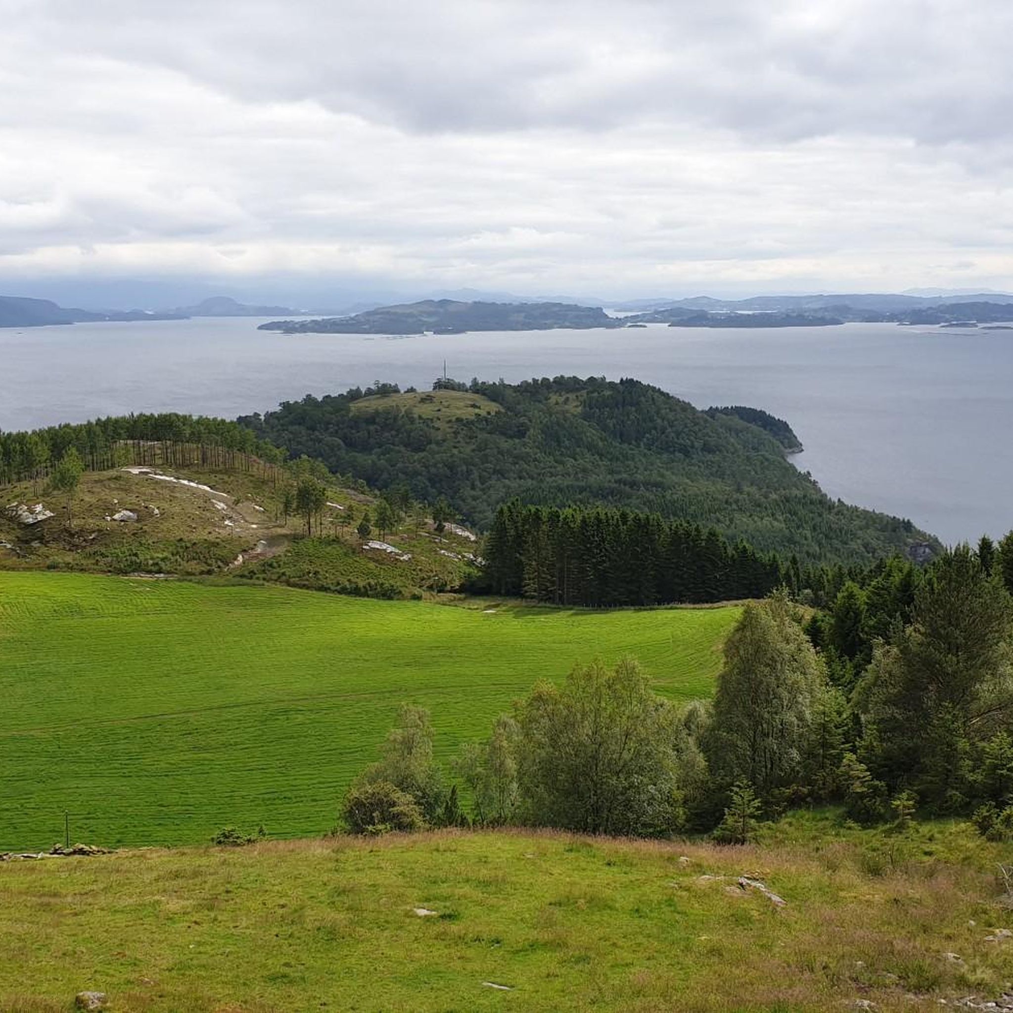
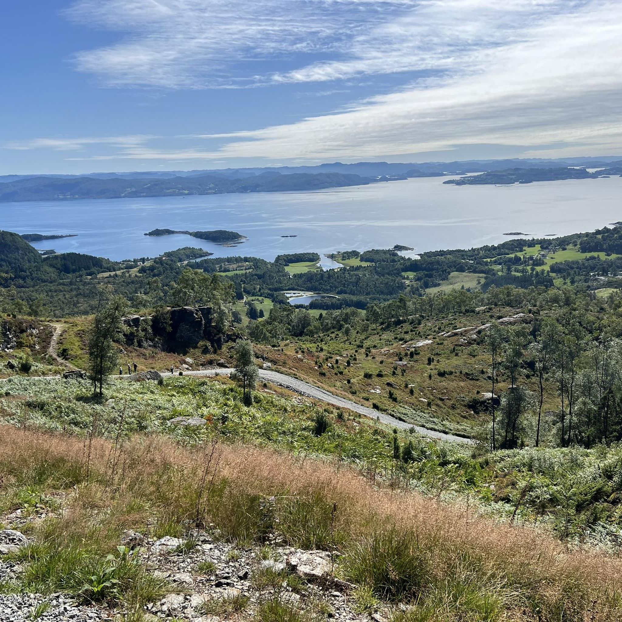
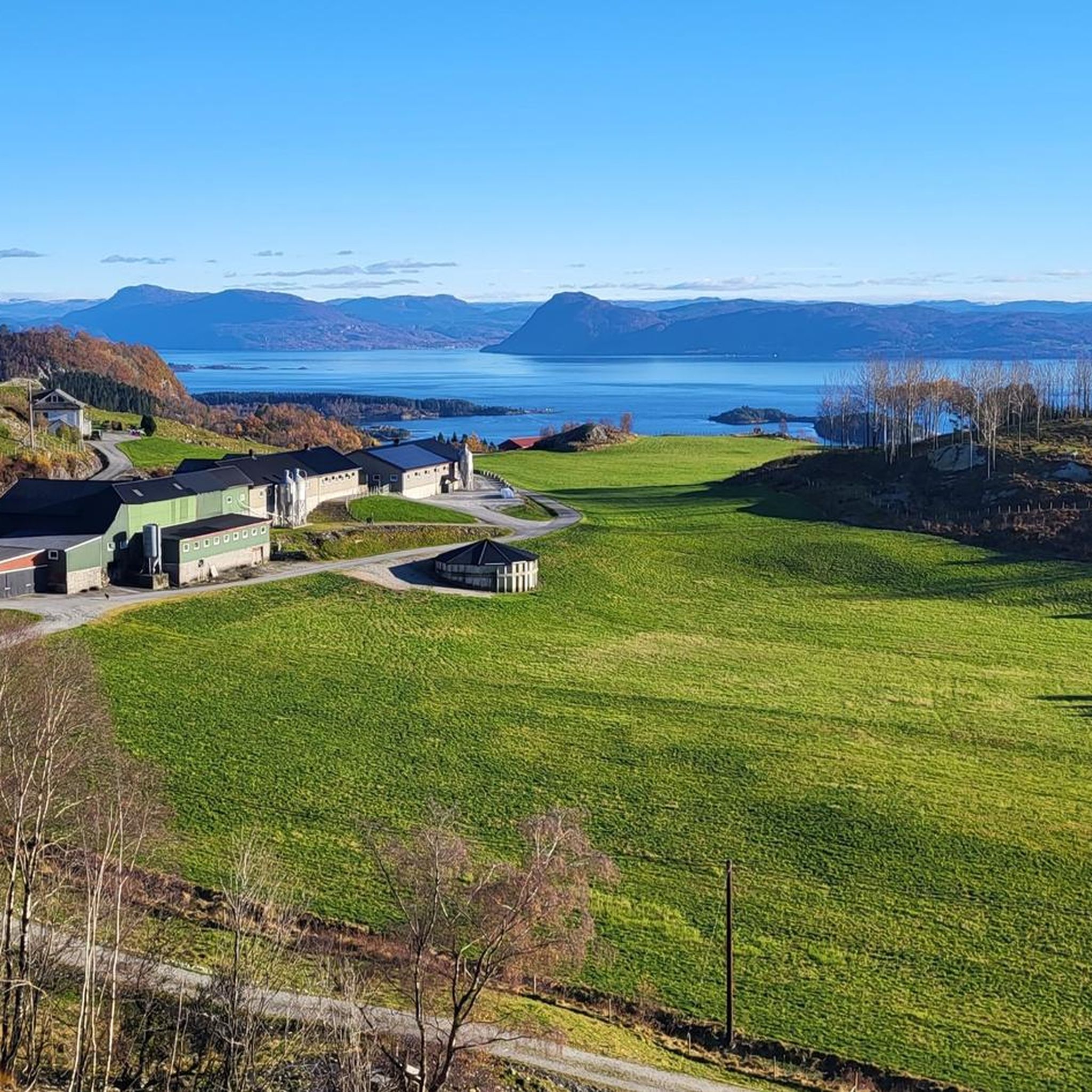
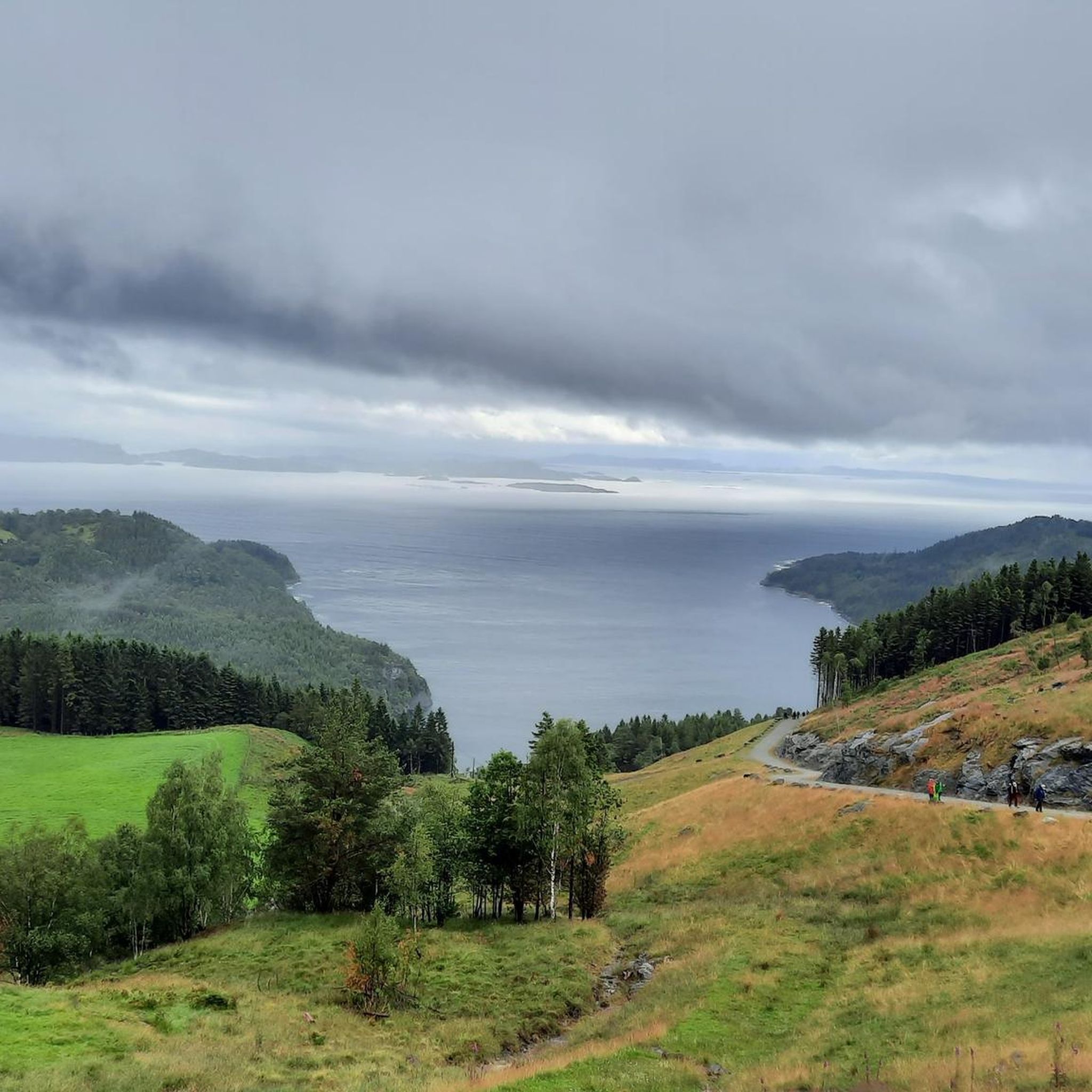
Mountain biking around Tysvær offers diverse landscapes, including fjords, mountain tops, and forests, providing varied terrain for riders. The region features a network of trails that traverse areas around lakes and ascend to summits. This topography supports a range of mountain biking experiences, from single tracks to downhill sections. The trails cater to different skill levels, with options for both moderate and more challenging rides.
Best mountain bike trails around Tysvær
- The most popular mountain bike trail is Eivindsvatnet Dam – Vardafjellet Summit (121 m) loop from Haugesund, an 11.7 miles (18.9 km) trail that takes 1 hour 18 minutes to complete. This route features an elevation gain of 689 feet (210 m) and is suitable for most fitness levels.
- Another top favourite among local mountain bikers is Krosshaug Stone Cross – Eivindsvatnet Dam loop from Haugesund, a moderate 15.1 miles (24.4 km) path. This trail traverses varied terrain, including areas around the dam and the historic stone cross.
- Local mountain bikers also love the Gravel Road – Ancient Stone Cross loop from Krossleitet, a 28.2 miles (45.3 km) trail leading through gravel roads and past the ancient stone cross, often completed in about 2 hours 56 minutes.
- Mountain biking around Tysvær is defined by its fjords, mountain tops, and forests. The network offers options for different ability levels, from moderate rides to more challenging paths.
- The routes in Tysvær are highly rated by the komoot community with an average score of 4.9 stars from more than 10 reviews. More than 90 mountain bikers have used komoot to explore Tysvær's varied terrain.
Last updated: August 22, 2026
5.0
(8)
27
riders
18.9km
01:18
210m
210m
Moderate mountain bike ride. Great for any fitness level. Advanced riding skills necessary.
4.5
(4)
14
riders
24.4km
01:47
320m
320m
Moderate mountain bike ride. Good fitness required. Suitable for all skill levels.

Sign up for free
4.5
(4)
14
riders
29.5km
02:07
350m
350m
Moderate mountain bike ride. Good fitness required. Suitable for all skill levels.
3.5
(2)
9
riders
33.0km
02:07
390m
390m
Moderate mountain bike ride. Good fitness required. Suitable for all skill levels.
4.0
(1)
8
riders
45.8km
02:58
490m
490m
Moderate mountain bike ride. Good fitness required. Suitable for all skill levels.
Get access to more routes and recommendations from other explorers.
Sign up for free
Already have an account?
Our route recommendations are based on thousands of hikes, rides, and runs completed by other people on komoot.
Start today with a free account
Your next adventure awaits.
Login or Signup
Tips from the Community

Christian cross. Unfortunately no paved path.
0
0
Norwegian National Monument. It deals with Norway's independence. Harald Fairhair is said to be buried here.
1
0

Great monument and definitely worth visiting!
1
0


Definitely worth a trip… 🤩
1
0

Historical site - The national monument is located on a hiking trail along the coast and can be easily reached on foot. However, it is also a popular stop for buses and trams. Therefore, it can be crowded at times, but is still worth a visit.
4
0

Caught a sunny day, ideal conditions for a wide view
0
0
Frequently Asked Questions
How many mountain bike trails are there in Tysvær?
Tysvær features a network of over 10 mountain bike trails, offering diverse experiences for riders. The majority of these, around 12, are considered moderate, with a couple of easier options also available for those seeking a less challenging ride.
Are there mountain bike trails suitable for beginners or families in Tysvær?
Yes, Tysvær offers trails suitable for various skill levels, including easier options perfect for beginners or families. While many routes are moderate, the varied terrain ensures there are paths that provide a relaxing experience in nature without requiring advanced riding skills. For example, the area around Aksdal offers child-friendly trails.
What kind of terrain can I expect on mountain bike trails in Tysvær?
Mountain bike trails in Tysvær traverse diverse landscapes, including areas around lakes, up to mountain summits, and through forests. You can expect varied terrain, from single tracks to gravel roads, with elevation gains that provide both an adrenaline rush and scenic views. The region's topography, shaped by fjords and mountains, offers a rich environment for mountain biking.
What are some notable natural features or landmarks I can see while mountain biking in Tysvær?
Tysvær's trails often lead past stunning natural features and landmarks. You might encounter the dramatic fjord landscapes of the Boknafjord and Skjoldafjorden, or ride near the historic Krosshaug Stone Cross. For panoramic views, consider exploring areas near View from Mosskarsfjell or View from Stolanuten. The famous Himakånå rock formation, often called 'Trolltunga's little sister,' is also a popular nearby attraction offering spectacular views over Lysevatnet lake and the Nedstrandsfjord.
Are there any longer mountain bike routes in Tysvær for extended rides?
Yes, Tysvær offers longer routes for those looking for extended rides. An example is the Gravel Road – Ancient Stone Cross loop from Krossleitet, which is a substantial 45.3 km (28.2 miles) trail with a 490m elevation gain, typically completed in about 3 hours. This route provides a good challenge and a chance to explore more of the region's varied terrain.
What do other mountain bikers enjoy most about the trails in Tysvær?
The mountain bike trails in Tysvær are highly rated by the komoot community, with an average score of 4.9 stars from over 10 reviews. Mountain bikers often praise the diverse landscapes, which include fjords, mountain tops, and forests, providing varied terrain for riders. The network offers options for different ability levels, from moderate rides to more challenging paths, ensuring a rewarding experience for many.
Are there circular mountain bike routes available in Tysvær?
Yes, many of the mountain bike routes in Tysvær are designed as loops, allowing you to start and end at the same point. Examples include the Krosshaug Stone Cross – Eivindsvatnet Dam loop from Haugesund and the Eivindsvatnet Dam – Wooden Bridge Over Creek loop from Norheim. These circular routes make planning your ride and return journey straightforward.
What is the best time of year for mountain biking in Tysvær?
The best time for mountain biking in Tysvær is generally during the warmer months, from late spring to early autumn. During this period, the weather is more stable, and trails are typically dry and clear of snow, offering optimal riding conditions. The natural beauty of the fjords and mountains is also at its peak during these seasons.
Are there any specific challenges or advanced trails for experienced mountain bikers in Tysvær?
While most listed routes are moderate, Tysvær's varied topography, with its mountains and forests, lends itself to more challenging experiences. Some parts of trails, especially those ascending to mountain summits like Vardafjellet, may require advanced riding skills. The Single Track Scale (STS) categorizes trails up to S6, indicating very good fitness and advanced skills are needed for some sections, potentially requiring riders to push their bikes.
Can I find places to eat or stay near the mountain bike trails in Tysvær?
Tysvær, particularly around its municipal center Aksdal, offers amenities for visitors. While specific cafes or accommodation directly on trails might be limited, you'll find options in the communities surrounding the trailheads. The region also features numerous bathing spots and excellent guest harbors, which can be convenient for those looking to cool off or find facilities after a ride.
Is it possible to reach mountain bike trails in Tysvær using public transport?
While specific public transport links directly to every trailhead may vary, Tysvær is accessible, and its main areas like Aksdal are served by local transport. For detailed information on reaching specific trailheads by public transport, it's advisable to check local bus schedules or regional transport services in advance, especially if you're coming from larger towns like Haugesund.
Are there any specific parking facilities for mountain bikers in Tysvær?
Parking availability can vary by trailhead. Many popular starting points for mountain bike routes, especially those near communities or known attractions, typically offer designated parking areas. For routes like the Eivindsvatnet Dam – Vardafjellet Summit (121 m) loop from Haugesund, starting points in or near towns often have accessible parking. It's always a good idea to check the route details on komoot for specific parking recommendations.
Most popular routes around Tysvær
Most popular attractions around Tysvær

Get inspired with the komoot mobile app


Explore more
Browse the best MTB trails in other regions.
