The best walks and hikes around Vilsbiburg
4.6
(291)
1,549
hikers
94
hikes
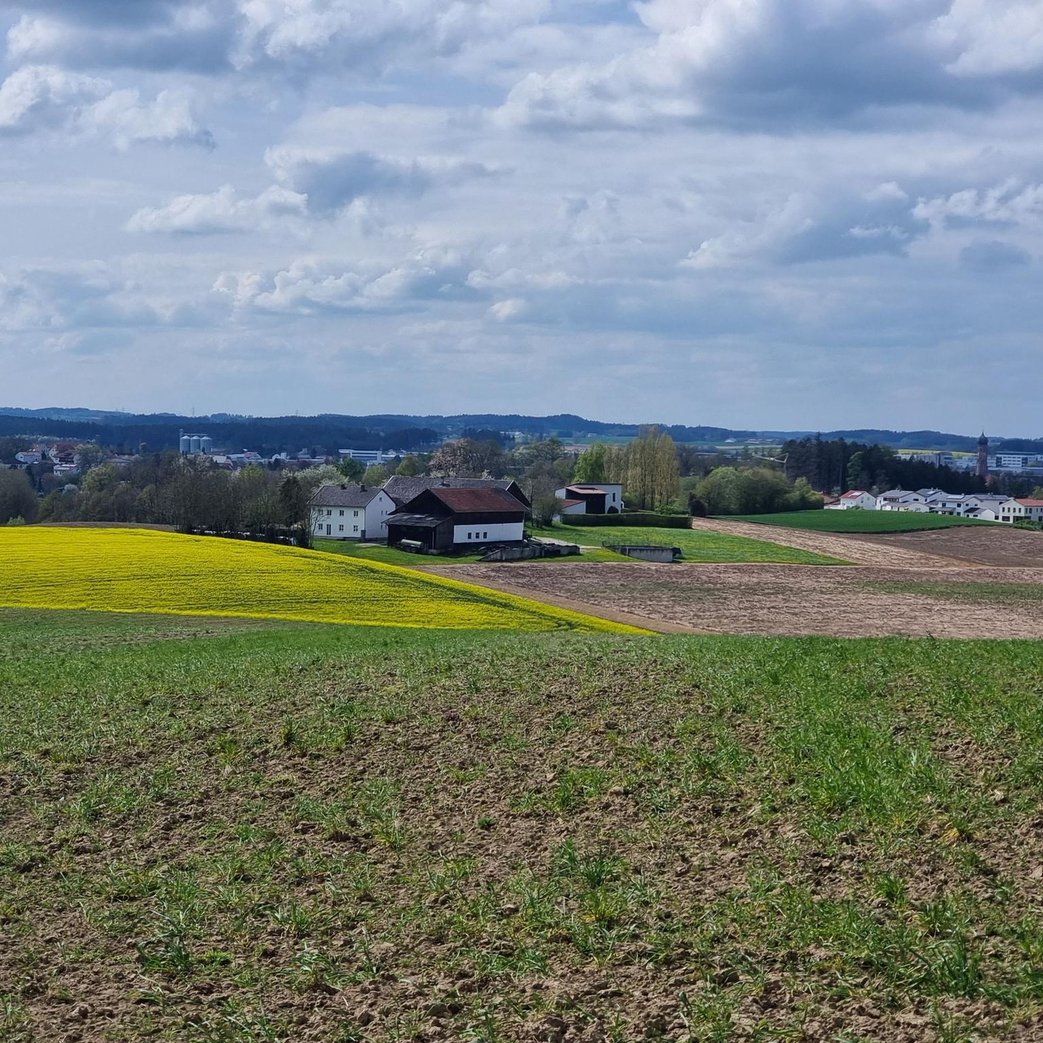
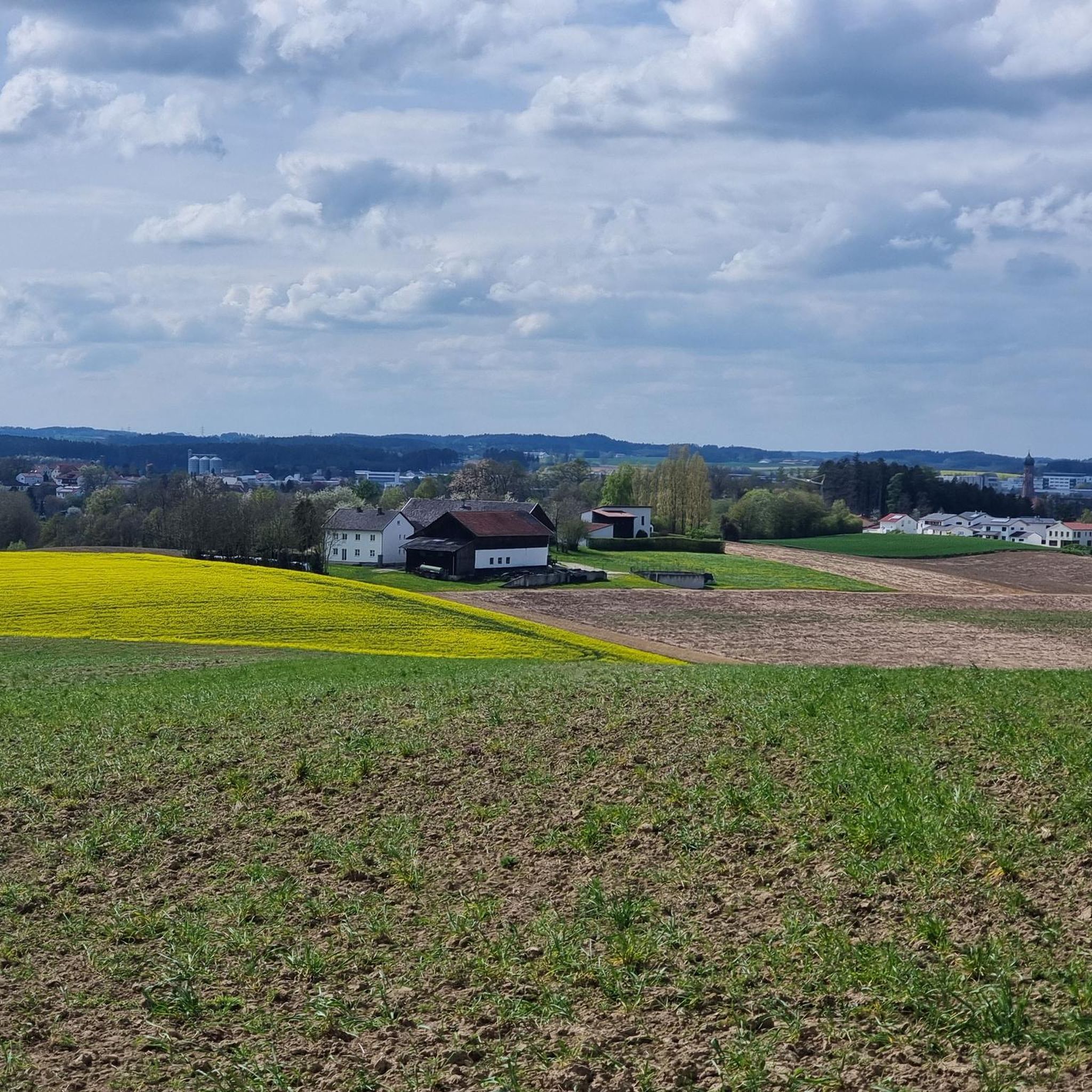
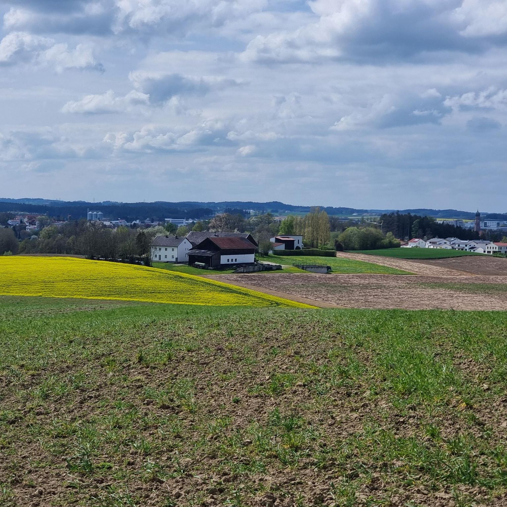
Hiking around Vilsbiburg traverses the lower Bavarian hills, situated between the Isar and Vils rivers. The region is characterized by rolling hills, green forests, and the meandering Vils river valley. These landscapes offer a diverse range of terrain, from riverside paths to elevated viewpoints over the surrounding area. The Biburger Forst provides a variety of routes through a unique ecosystem.
Best hiking trails around Vilsbiburg
- The most popular hiking route is Pilgrimage Church of Maria Hilf – Bergkirche Achldorf loop from Vilsbiburg, a 3.2 miles (5.2 km) trail that takes 1 hour 24 minutes to complete, connecting historical pilgrimage churches.
- Another top favourite among local hikers is Pilgrimage Church of Maria Hilf – Donatus Linden loop from Vilsbiburg, an easy 4.0 miles (6.4 km) path that offers views of the Vils valley and surrounding hills.
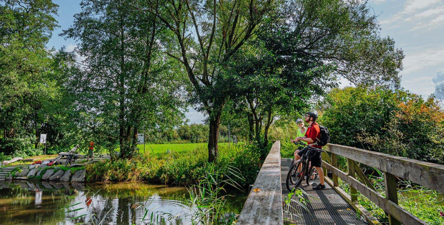
- Local hikers also love the Vilsauen wooden bridge – Vils Bridge loop from Vilsbiburg, a 4.2 miles (6.7 km) trail leading along the Vils river, often completed in about 1 hour 48 minutes.
- Hiking around Vilsbiburg is defined by rolling hills, the Vils river valley, and dense forests, with options available for easy strolls and more moderate routes.
- The routes in Vilsbiburg are highly rated by the komoot community with an average score of 4.6 stars from over 260 reviews. More than 1500 hikers have used komoot to explore Vilsbiburg's varied terrain.
Last updated: July 4, 2026
4.8
(8)
55
hikers
Easy hike. Great for any fitness level. Easily-accessible paths. Suitable for all skill levels.
4.7
(18)
39
hikers
Easy hike. Great for any fitness level. Easily-accessible paths. Suitable for all skill levels.

Sign up for free
4.0
(4)
14
hikers
Easy hike. Great for any fitness level. Easily-accessible paths. Suitable for all skill levels.
4.3
(3)
21
hikers
6.54km
01:43
50m
50m
Easy hike. Great for any fitness level. Easily-accessible paths. Suitable for all skill levels.
4.0
(8)
23
hikers
Moderate hike. Good fitness required. Easily-accessible paths. Suitable for all skill levels.
Get access to more routes and recommendations from other explorers.
Sign up for free
Already have an account?
Our route recommendations are based on thousands of hikes, rides, and runs completed by other people on komoot.
Start today with a free account
Your next adventure awaits.
Login or Signup
Other adventures around Vilsbiburg

Tips from the Community

Imposing structure to marvel at and pray to
0
0
It stands right next to the paved path. The trunk is partially hollow; I've attached photos.
0
0

Brick building from the 15th century. Onion dome of the tower from 1689.
0
0

A shady spot with two wooden patio chairs invites you to linger and reflect.
0
0

It is currently being renovated and barrier-free access is being built, but it can still be visited and is worth a visit. Be sure to visit the nativity scene! 😉
0
0

Built between 1870 and 1897 in neo-Romanesque style instead of a church from 1836. Founded as a pilgrimage in 1686 by chimney sweep Donatus Barnabas Orelli. New buildings and renovations in 1687, 1704, 1793/96, 1836, 1870 and 1952/62. Monastery built in 1827, expanded in 1851 and 1873. Towers built in 1880 and 1885 respectively.
0
0
The Catholic rectory was built in 1718 under Marianus Wieser, abbot of the Benedictine monastery of St. Veit. Spacious building from the Baroque period. The stately complex illustrates the status of a “monastic parish”.
1
0
Parish Church of the Assumption of Mary began as a late Gothic hall complex in the early 15th century. Consecrated in 1437. Remarkable figuration of the net vault. Tower top and dome from the end of the 17th century.
1
0
Frequently Asked Questions
How many hiking trails are available in Vilsbiburg?
Vilsbiburg offers a comprehensive network of over 90 hiking trails, catering to various preferences and fitness levels. The majority, around 77, are rated as easy, with 20 moderate options for those seeking a bit more challenge.
What kind of terrain can I expect on Vilsbiburg's hiking trails?
The hiking trails around Vilsbiburg traverse the picturesque lower Bavarian hills, characterized by rolling hills, green forests, and the meandering Vils river valley. You can expect a diverse range of terrain, from relatively flat riverside paths along the Vils to more elevated sections offering viewpoints over the surrounding area, particularly within the Biburger Forst.
What do other hikers enjoy about the trails in Vilsbiburg?
The hiking routes in Vilsbiburg are highly rated by the komoot community, with an average score of 4.6 stars from over 260 reviews. Hikers often praise the varied terrain, the serene Vils river scenery, and the well-maintained paths that lead through both natural landscapes and charming local areas.
Are there family-friendly hiking options in Vilsbiburg?
Yes, Vilsbiburg offers several family-friendly hiking options. Many paths along the Vils river are relatively flat and easy, ideal for families. The region research mentions a 'Family Path' (2.3 km, easy) and other routes with resting opportunities and nature adventure elements, perfect for younger explorers.
Are dogs allowed on hiking trails in Vilsbiburg?
Generally, dogs are welcome on hiking trails in Vilsbiburg. It's always recommended to keep your dog on a leash, especially in nature protection areas or near livestock, and to clean up after them. Most trails are suitable for walks with your canine companion.
Are there circular hiking routes available in Vilsbiburg?
Yes, Vilsbiburg features numerous circular hiking routes. Examples include the 'Circular route Vilsbiburg-Aich-Frauensattling' (14.6 km, moderate) and the 'Maria Assumption Circular Trail' (11.4 km, moderate). Many of the popular routes, such as the Pilgrimage Church of Maria Hilf – Bergkirche Achldorf loop from Vilsbiburg, are also designed as loops, bringing you back to your starting point.
When is the best time of year to go hiking in Vilsbiburg?
The best seasons for hiking in Vilsbiburg are spring and autumn. In spring, nature awakens with vibrant greenery and blooming flowers. Autumn offers a spectacular display of colorful foliage, creating a beautiful contrast to the green landscape. Both seasons provide pleasant temperatures for outdoor activities.
What interesting landmarks or natural features can I see while hiking in Vilsbiburg?
While hiking in Vilsbiburg, you can explore several interesting landmarks and natural features. The idyllic River Vils offers serene waterside scenery. You might also encounter historical sites like Gerzen Castle, which provides spectacular panoramic views of the surrounding area. Other notable attractions include the Deutenkofen Castle and the Aham Water Castle.
Are there easy hiking trails suitable for beginners or leisurely strolls?
Absolutely. Vilsbiburg has a large selection of easy trails, with 77 routes rated as such. For a relaxed walk, consider the Vilsauen wooden bridge – Vils Bridge loop from Vilsbiburg, an easy 6.7 km path along the river. Many paths along the Vils are relatively flat and perfect for a leisurely pace.
Does Vilsbiburg offer any themed walking paths?
Yes, Vilsbiburg provides unique themed walking paths that combine nature with cultural insights. These include the 'Geschichtsweg' (History Path, 3.1 km) starting at the local history museum, the 'Skulpturenweg' (Sculpture Path, 5.4 km), and the 'Klimaweg' (Climate Path, 7.3 km), which highlights the city's commitment to environmental protection.
Which trails offer the best panoramic views in Vilsbiburg?
For panoramic views, consider routes that ascend to higher points. The climb to Gerzenberg Castle, for instance, is rewarded with spectacular views of the surrounding Vilsbiburg area. Additionally, the Wooden Chairs Rest Area – Scenic Forest Trail loop from Frauensattling leads through Biburger Forst, offering elevated perspectives of the landscape.
Is parking available near the hiking trails in Vilsbiburg?
While specific parking locations are not detailed in the route descriptions, Vilsbiburg is a well-equipped town. It is generally possible to find parking in or near the town center, or at designated trailheads, especially for the more popular routes. We recommend checking local signage upon arrival for the most accurate information.
Can I reach Vilsbiburg's hiking trails by public transport?
Vilsbiburg is connected by public transport, making it accessible for hikers. The town has a train station, and local bus services operate within the municipality. Many trails start directly from the town or can be reached with a short walk from public transport stops, allowing you to begin your hike without a car.
Most popular routes around Vilsbiburg
Most popular attractions around Vilsbiburg

Get inspired with the komoot mobile app


Explore more
Browse the best Hikes in other regions.
