The best walks and hikes around Villenbach
4.6
(1518)
6,241
hikers
609
hikes
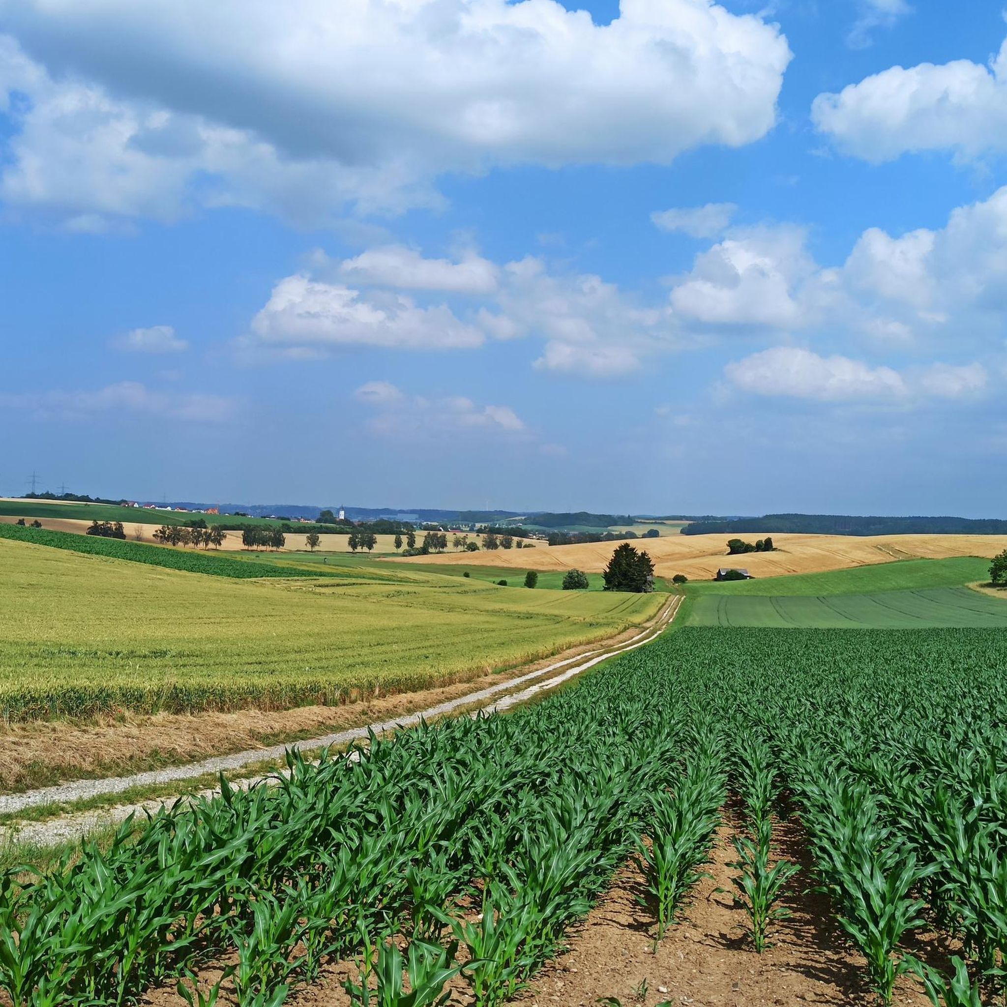
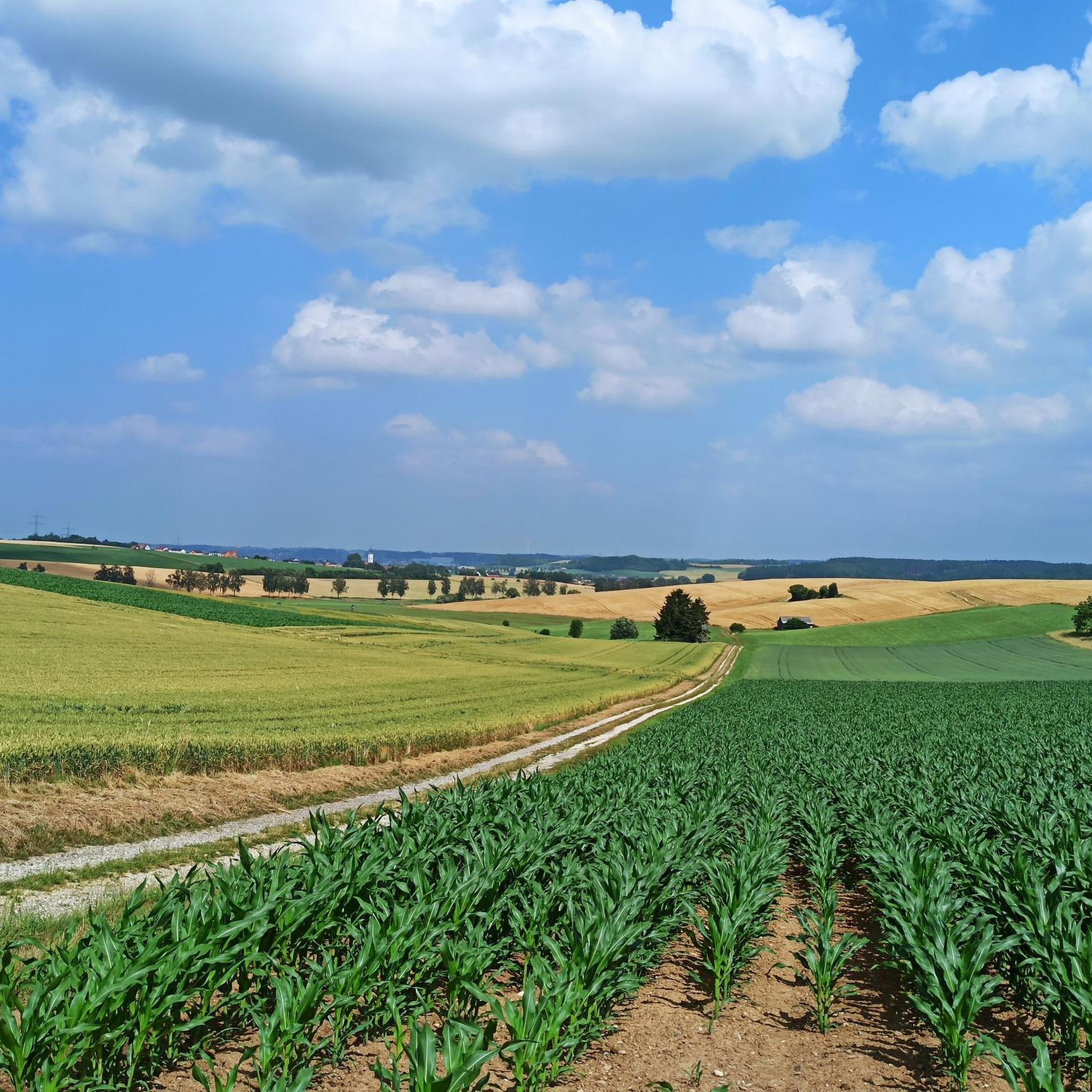
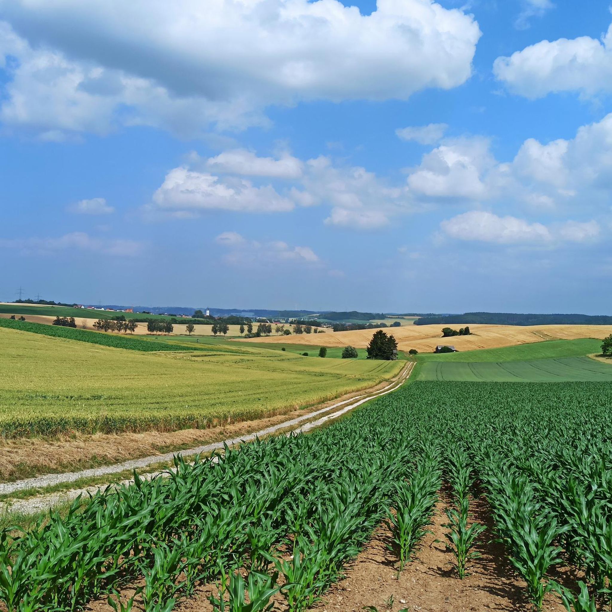
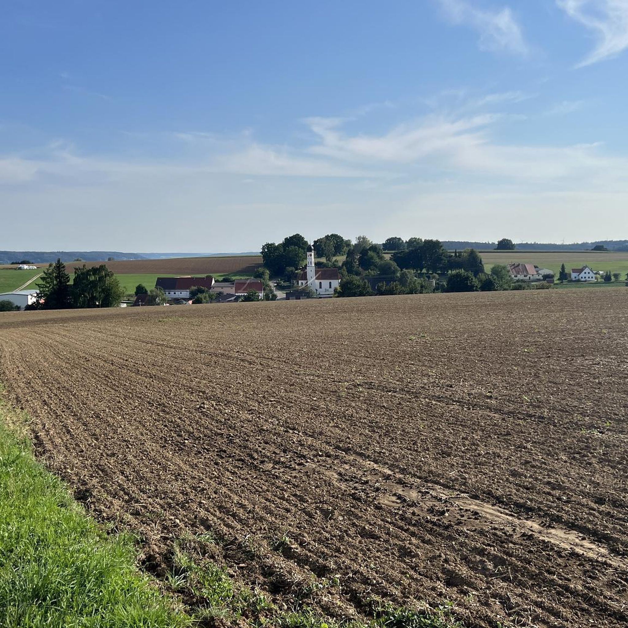
Hiking around Villenbach provides access to the picturesque landscapes of Bavaria, situated on the edge of the Augsburg-Westliche Wälder Nature Park. The region is characterized by rural tranquility, featuring a network of trails through forests, meadows, and rolling hills. The nearby Danube River also offers opportunities for leisurely walks along its scenic banks. This area presents a blend of woodlands and open countryside typical of the Swabian region.
Best hiking trails around Villenbach
- The most popular hiking route is Bildstöckle Forest Car Park – Stern Hut loop from Hennhofen, a 3.0 miles (4.8 km) trail that takes 1 hour 16 minutes to complete. This easy route leads through tranquil forest paths with gentle elevation changes.
- Another top favourite among local hikers is Bildstöckle Forest Car Park – Faces Trail loop from Hennhofen, an easy 3.8 miles (6.1 km) path. This trail offers a pleasant walk through the nature park's varied scenery, typically completed in about 1 hour 37 minutes.
- Local hikers also love the Stern Hut – Spechthütte Picnic Area loop from Hennhofen, an 8.4 miles (13.5 km) trail leading through dense woodlands and open meadows, often completed in about 3 hours 35 minutes.
- Hiking around Villenbach is defined by its forests, meadows, and rolling hills. The network offers options for different ability levels, from easy strolls to moderate hikes.
- The routes in Villenbach are highly rated by the komoot community with an average score of 4.6 stars from more than 1,200 reviews. More than 5,700 hikers have used komoot to explore Villenbach's varied terrain.
Last updated: October 7, 2026
4.3
(3)
22
hikers
4.73km
01:15
50m
50m
Easy hike. Great for any fitness level. Easily-accessible paths. Suitable for all skill levels.
4.7
(11)
20
hikers
6.08km
01:37
60m
60m
Easy hike. Great for any fitness level. Easily-accessible paths. Suitable for all skill levels.

4.5
(6)
17
hikers
13.5km
03:36
150m
150m
Moderate hike. Good fitness required. Easily-accessible paths. Suitable for all skill levels.
4
hikers
4.91km
01:19
60m
50m
Easy hike. Great for any fitness level. Easily-accessible paths. Suitable for all skill levels.
5
hikers
7.52km
01:57
50m
50m
Easy hike. Great for any fitness level. Easily-accessible paths. Suitable for all skill levels.
Get access to more routes and recommendations from other explorers.
Already have an account?
Our route recommendations are based on thousands of hikes, rides, and runs completed by other people on komoot.
Start today with a free account
Your next adventure awaits.
Tips from the Community

This information board commemorates and informs about the Fultenbach Monastery, which was dissolved during secularization. You'll also find excellent information about the Weisinger Forest on this board. You could literally hike the trails here for hours and always find something new.
1
0

As far as I know, sometimes there is even a festival there
1
0

Interesting place with many information boards and also an ideal resting place
2
0

Very nice place for a break, there is even a toilet here.
2
0

The former beer cellar of the Fultenbach Monastery was used as an air raid shelter during World War II. About 65 years ago the entrance to the cellar collapsed and was rebuilt with the help of the village community. Since then, several festivals have been celebrated here, in the 23m deep and 6°C cold beer cellar.
2
0
The hut takes its name from the 7 paths that intersect - viewed from above like a star. Forester Vopelieuns built the hut at the crossroads at the beginning of the 19th century.
2
0

super nice place to take a break. Greetings Marcus
1
0

A wonderful place to rest when you have a snack with you. Mosquito repellent isn't bad either. The tree trunk with an imposing black woodpecker cave is worth seeing. Carved and provided with information about the forest and its history by the forester.
2
0
Frequently Asked Questions
How many hiking trails are available around Villenbach?
Villenbach offers a wide variety of hiking opportunities, with over 600 routes recorded on komoot. These range from easy strolls through forests and meadows to more challenging moderate hikes, catering to different fitness levels.
What is the general difficulty level of hiking trails in Villenbach?
The majority of trails around Villenbach are considered easy, with over 370 routes suitable for casual walkers. There are also more than 230 moderate trails for those seeking a bit more challenge, and a few difficult options for experienced hikers.
Are there any circular hiking routes in Villenbach?
Yes, many of the trails around Villenbach are designed as circular routes, allowing you to start and end at the same point. An example is the easy Stern Hut – Bildstöckle Forest Car Park loop from Zusamzell, which takes about 1 hour 18 minutes to complete.
What kind of natural features can I expect to see while hiking near Villenbach?
The region is characterized by picturesque landscapes, including tranquil forests, open meadows, and rolling hills, typical of the Swabian region. You'll be hiking on the edge of the Augsburg-Westliche Wälder Nature Park, and the nearby Danube River also offers scenic views. You might also encounter highlights like the Ice Pond.
Are there any family-friendly hiking options in Villenbach?
Absolutely. Villenbach has numerous easy trails perfect for families. These routes often feature gentle elevation changes and pleasant paths through nature. The Ellerbach Archery Course – Stern Hut loop from Fultenbach is an easy 7.4 km trail that takes less than two hours, offering a good option for a family outing.
What are some interesting landmarks or attractions near the hiking trails?
Beyond the natural beauty, you can explore several points of interest. The nearby town of Dillingen an der Donau features the Sebastian Kneipp Fountain. For a cultural experience, Höchstädt Castle, a beautiful baroque castle, is only 10 km away and can be combined with a hike or bike ride.
What do other hikers say about the trails in Villenbach?
The hiking routes in Villenbach are highly regarded by the komoot community, with an average rating of 4.6 out of 5 stars from over 1,200 reviews. Hikers often praise the rural tranquility, varied scenery, and well-maintained paths through forests and meadows.
Are there any places to stop for refreshments or a break during a hike?
Yes, the region offers charming spots for a break. The 'Zum Hirsch' inn, for example, has an idyllic beer garden with views of Höchstädt Castle. Additionally, some routes pass by huts like the Stern Hut, which can serve as a resting point.
Is public transport available to access hiking trailheads in Villenbach?
While specific public transport connections to individual trailheads can vary, Villenbach is a municipality in the district of Dillingen. It's advisable to check local bus schedules or regional train connections to Dillingen an der Donau for access to the general area, and then plan your hike accordingly.
What is the best time of year to go hiking in Villenbach?
Villenbach's picturesque landscape is enjoyable throughout much of the year. Spring and autumn offer pleasant temperatures and beautiful foliage, while summer provides longer daylight hours for extended tours. Even winter can be appealing for walks through snow-covered forests, though conditions should be checked.
Are there any specific trails that lead to interesting natural monuments?
Yes, some trails will bring you close to natural monuments. For instance, you might find routes that pass by the Ganghofer Allee or the LandArt Trail Bonstetten, offering unique sights along your journey.
Most popular routes around Villenbach
Most popular attractions around Villenbach

Get inspired with the komoot mobile app


Explore more
Browse the best Hikes in other regions.
