The best walks and hikes around Øygarden
4.6
(118)
652
hikers
29
hikes
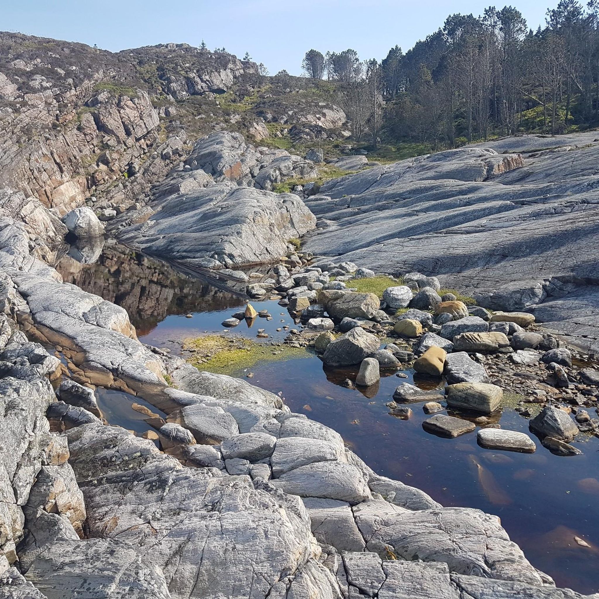
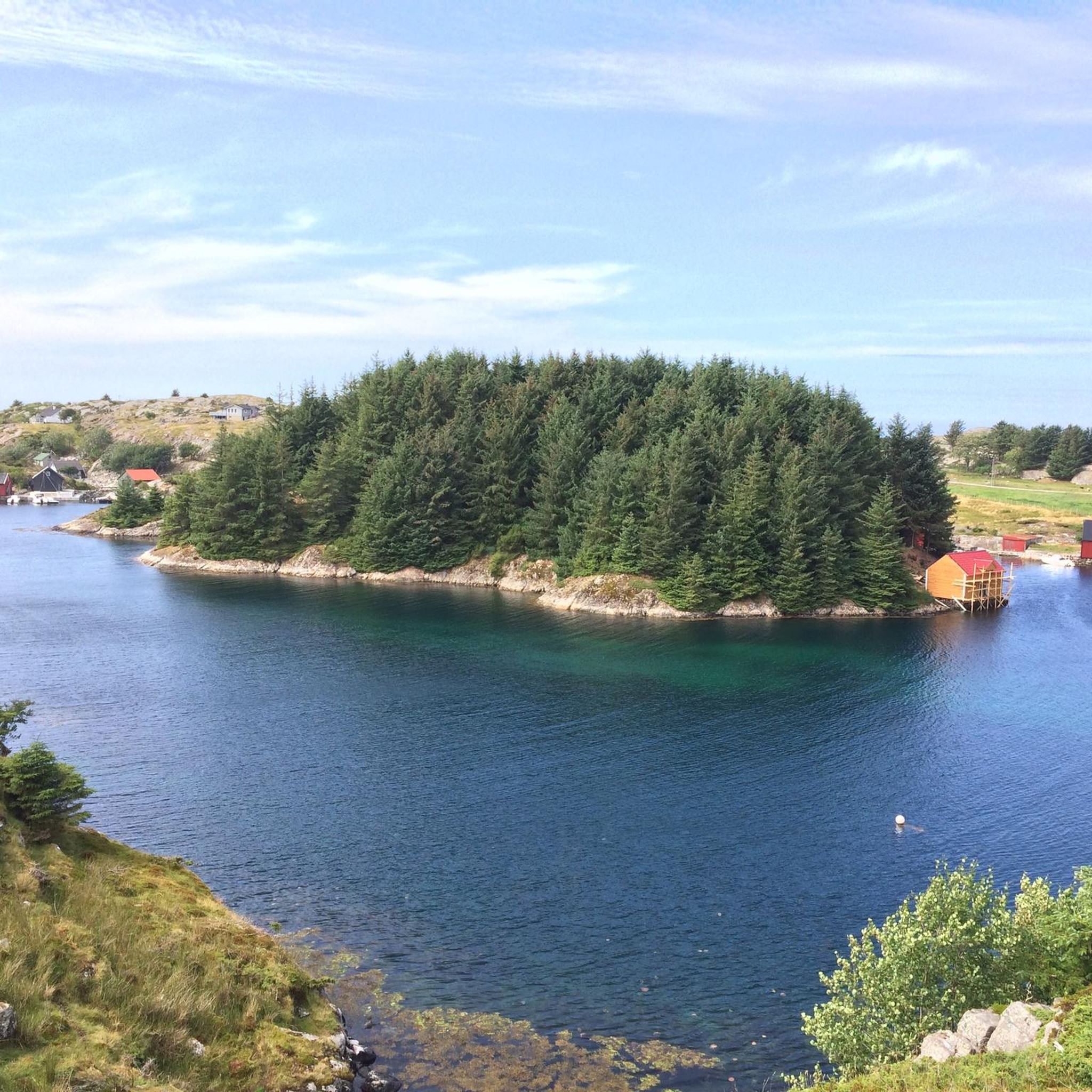
Hiking around Øygarden offers diverse coastal and island landscapes in western Norway. The region is characterized by its numerous islands, islets, and skerries, providing a unique maritime environment for outdoor activities. Terrain often includes rocky shorelines, open heathlands, and small hills, with minimal elevation changes. The area provides a network of hiking trails suitable for various skill levels.
Best hiking trails around Øygarden
- The most popular hiking route is Skogsøy Pond – Skogstuo Viewpoint loop from Herdleværet, a 3.1 miles (5.0 km) trail that takes about 1 hour 33 minutes to complete. This moderate route offers views of the coastal landscape.
- Another top favourite among local hikers is Gløvro Rock Crevice – Rock Crevice loop from Hjelme, an easy 1.7 miles (2.8 km) path. This trail explores a unique rock crevice formation near the coast.
- Local hikers also love the Ømeberget Hiking Loop – Lighthouse loop from Førehjelmo, a 2.5 miles (4.0 km) trail leading through coastal terrain, often completed in about 1 hour 4 minutes.
- Hiking around Øygarden is defined by coastal paths, island exploration, and open heathlands. The network of hiking trails offers options for different ability levels, including easy hikes for beginners Øygarden.
- The routes in Øygarden are highly rated by the komoot community with an average score of 4.5 stars from over 100 reviews. More than 600 hikers have used komoot to explore Øygarden's varied terrain.
Last updated: August 20, 2026
4.9
(21)
114
hikers
5.00km
01:33
50m
50m
Moderate hike. Great for any fitness level. Mostly accessible paths. Sure-footedness required.
4.9
(8)
31
hikers
2.79km
00:45
30m
30m
Easy hike. Great for any fitness level. Easily-accessible paths. Suitable for all skill levels.

Sign up for free
5.0
(2)
19
hikers
3.99km
01:04
50m
50m
Easy hike. Great for any fitness level. Easily-accessible paths. Suitable for all skill levels.
5.0
(5)
40
hikers
3.94km
01:03
40m
40m
Easy hike. Great for any fitness level. Easily-accessible paths. Suitable for all skill levels.
4.8
(4)
12
hikers
9.85km
02:33
60m
60m
Moderate hike. Good fitness required. Easily-accessible paths. Suitable for all skill levels.
Get access to more routes and recommendations from other explorers.
Sign up for free
Already have an account?
Our route recommendations are based on thousands of hikes, rides, and runs completed by other people on komoot.
Start today with a free account
Your next adventure awaits.
Login or Signup
Popular around Øygarden
Tips from the Community

An easy hike, but definitely wear waterproof shoes. It's really attractive in good weather.
0
0

beautiful view and narrow crevice to hike through.
0
0

The hike does not require a good level of fitness, but good shoes and a sure footing are recommended for some passages. When it rains it can get really, really slippery on wood and stone. - But is also very beautiful there
0
1

The path looks comfortable in the beginning, but it gets very swampy and muddy. Don’t come in white sneakers.
0
0

Great paths that children from 2-3 can go well.
1
0
The lighthouse is on a cliff. Therefore there is not so much space for large groups.
2
0

A fantastic tour. Between the jagged Felzlandschaft, no forest areas and close to the cliffs in the direction of destination, the summit.
2
1
Frequently Asked Questions
What is the general difficulty of hiking trails in Øygarden?
The hiking trails in Øygarden primarily offer easy to moderate difficulty levels. Out of nearly 30 available routes, 24 are classified as easy, and 5 as moderate. There are no difficult trails listed, making the area accessible for a wide range of hikers.
Are there easy hikes suitable for beginners in Øygarden?
Yes, Øygarden is an excellent destination for beginners. The majority of trails, 24 out of 29, are rated as easy. An example is the Gløvro Rock Crevice – Rock Crevice loop from Hjelme, which is an easy 1.7-mile (2.8 km) path exploring a unique coastal formation.
What is the typical length and duration of hikes in Øygarden?
Hikes in Øygarden generally range from short, easy walks to moderate loops. For instance, the Gløvro Rock Crevice – Rock Crevice loop from Hjelme is about 1.7 miles (2.8 km) and takes around 45 minutes. A longer, moderate option like the Skogsøy Pond – Skogstuo Viewpoint loop from Herdleværet covers 3.1 miles (5.0 km) and typically takes about 1 hour 33 minutes.
Are there family-friendly hiking options in Øygarden?
Yes, many of the easy trails in Øygarden are suitable for families. The coastal paths and minimal elevation changes make them enjoyable for all ages. Consider routes like the Ømeberget Hiking Loop – Lighthouse loop from Førehjelmo, which is an easy 2.5-mile (4.0 km) trail through coastal terrain.
Are dogs allowed on hiking trails in Øygarden?
Generally, dogs are welcome on hiking trails in Norway, including Øygarden, but they must be kept on a leash, especially during certain periods (e.g., April 1 to August 20) to protect wildlife. Always check local signage for specific rules on individual trails or nature reserves.
What is the best time of year to go hiking in Øygarden?
The best time for hiking in Øygarden is typically from late spring to early autumn (May to September). During these months, the weather is milder, and the days are longer, offering pleasant conditions to explore the coastal landscapes. The unique maritime climate means winters can be wet and windy, though snow is less common than inland.
Are there circular hiking routes in Øygarden?
Yes, Øygarden offers several circular hiking routes, which are ideal for exploring without retracing your steps. Examples include the popular Skogsøy Pond – Skogstuo Viewpoint loop from Herdleværet and the Ømeberget Hiking Loop – Lighthouse loop from Førehjelmo.
What interesting sights or landmarks can I see along the hiking trails in Øygarden?
Øygarden's trails offer unique coastal and cultural sights. You can explore the geological wonder of Gløvro Rock Crevice, enjoy panoramic views from Skogstuo Viewpoint, or visit the historic Åsebøkverna Water Mill. The region is also known for its birdwatching opportunities, with sites like the Birdwatching Tower at Herdla Nature Reserve nearby.
What do other hikers say about their experience in Øygarden?
The hiking experiences in Øygarden are highly rated by the komoot community, with an average score of 4.5 stars from over 100 reviews. Hikers often praise the unique coastal landscapes, the well-maintained paths, and the accessibility of the trails for various skill levels. Over 600 hikers have used komoot to explore the area.
How many hiking trails are available in Øygarden?
There are nearly 30 hiking trails available in Øygarden, offering a diverse range of coastal and island exploration opportunities. These routes cater to various skill levels, predominantly featuring easy and moderate options.
Where can I find parking for hiking trails in Øygarden?
While specific parking details vary by trailhead, many popular starting points for hikes in Øygarden, especially those near villages or attractions, typically offer designated parking areas. It's advisable to check the specific route details on komoot or local information boards for the most accurate parking information for your chosen trail.
Are there opportunities for wild swimming after a hike in Øygarden?
Given Øygarden's extensive coastline and numerous islands, there are many opportunities for wild swimming in the sea. While specific designated swimming spots may vary, you'll often find accessible coves and beaches perfect for a refreshing dip after a hike, especially during the warmer summer months. Always be mindful of local conditions and currents.
Most popular routes around Øygarden
Most popular attractions around Øygarden

Get inspired with the komoot mobile app


Explore more
Browse the best Hikes in other regions.
