The 20 Most Amazing Peaks around Verviers
Best mountain peaks around Verviers are found in the hilly landscape surrounding the city, which serves as a gateway to the Ardennes region. While Verviers itself features a hilly terrain, the broader area offers access to significant high points in Belgium and the Netherlands. These locations provide opportunities for outdoor activities and offer scenic views across diverse landscapes. The region is characterized by its natural beauty, including unique ecosystems like the High Fens.
Best mountain peaks around Verviers
- The most…
Last updated: October 4, 2026
Vaalserberg Three-Country Point
Highlight • Monument
Translated by Google •
Tip by

Baltia Hill – Highest Point of Belgium
Highlight • Summit
Translated by Google •
Tip by

Sign up now to discover places like this
Get recommendations on the best single tracks, peaks, & plenty of other exciting outdoor places.
Baraque Michel
Highlight • Mountain Hut
Showing Translation
Tip by

Vaalserberg Climb via Route des Trois Bornes
Highlight (Segment) • Climb
Translated by Google •
Tip by

Observation Bunker MN18 and Knuppelstock Orientation Table
Highlight • Historical Site
Translated by Google •
Tip by
Signal de Botrange – Highest Point of Belgium
Highlight • Summit
Translated by Google •
Tip by

Col du Rosier East Ascent
Highlight (Segment) • Climb
Translated by Google •
Tip by

Steling Summit (658 m)
Highlight • Summit
Translated by Google •
Tip by
Three-Country Point
Highlight • Monument
Translated by Google •
Tip by

Col du Rosier Climb from Spa
Highlight (Segment) • Climb
Translated by Google •
Tip by

Sign up for free to discover even more peaks around Verviers.
Already have an account?
Start today with a free account
Your next adventure awaits.
Popular around Verviers

From Flanders to the Ardennes — GR 5 in Belgium
Running an ultra in Belgium – long trails in a small country
The most beautiful bike rides in Wallonia – pure nature and culture
Hardennes Gravel Tour by Resist & Ride - 700 kilometers of unpaved adventure
GR 2 from Verviers to Orval — The beautiful Ardennes in gravel
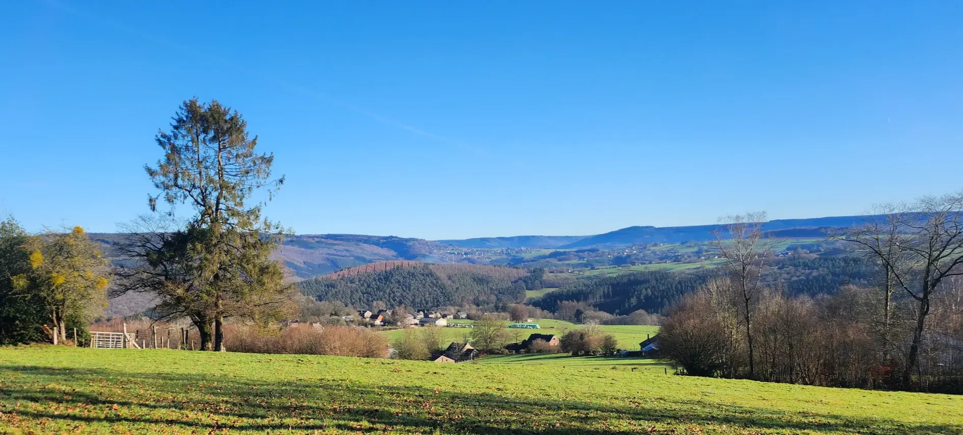
A waymarked trail all year round — Ultra Tour des Sources
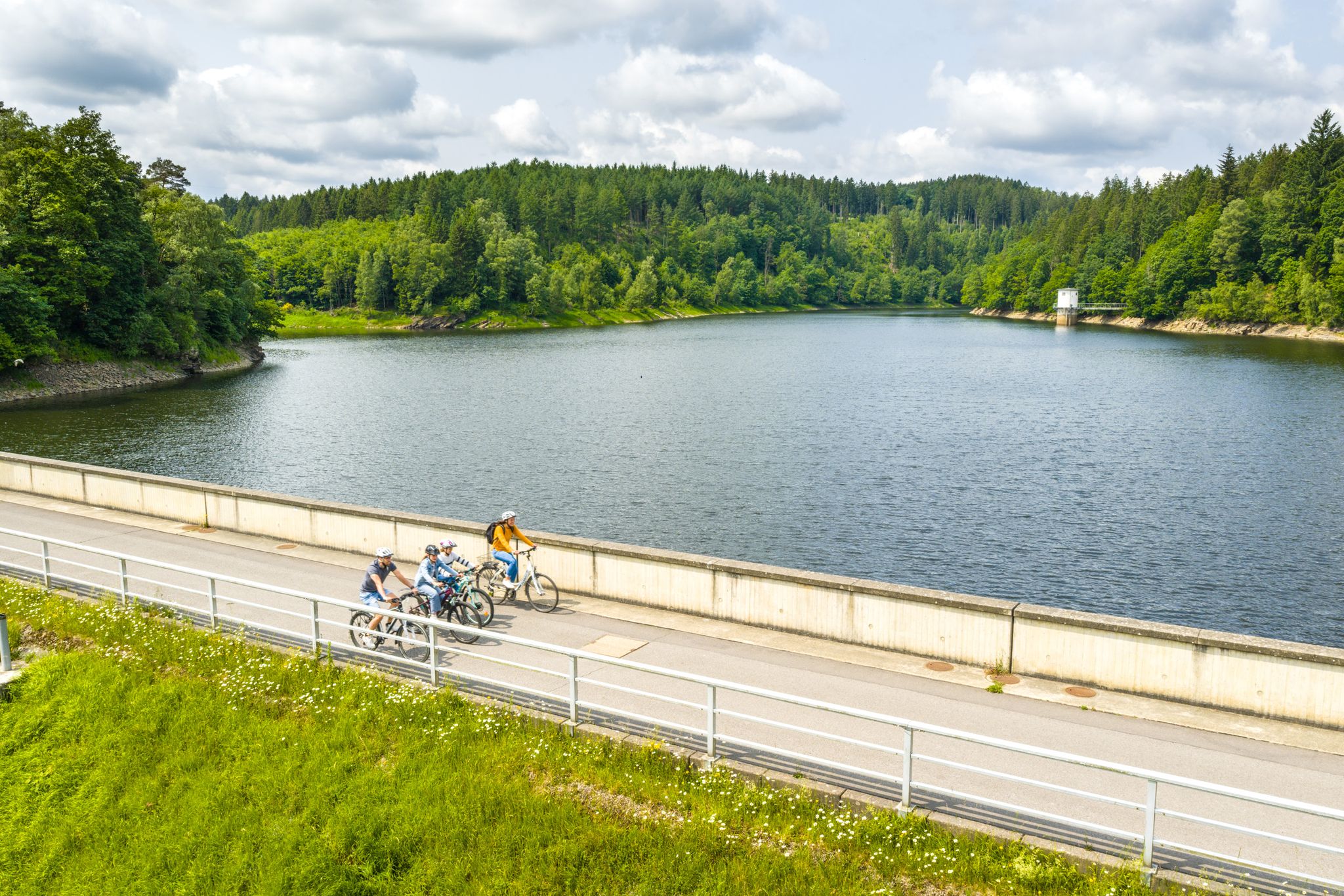
Aachen Time Loops – cycling from the past to the future
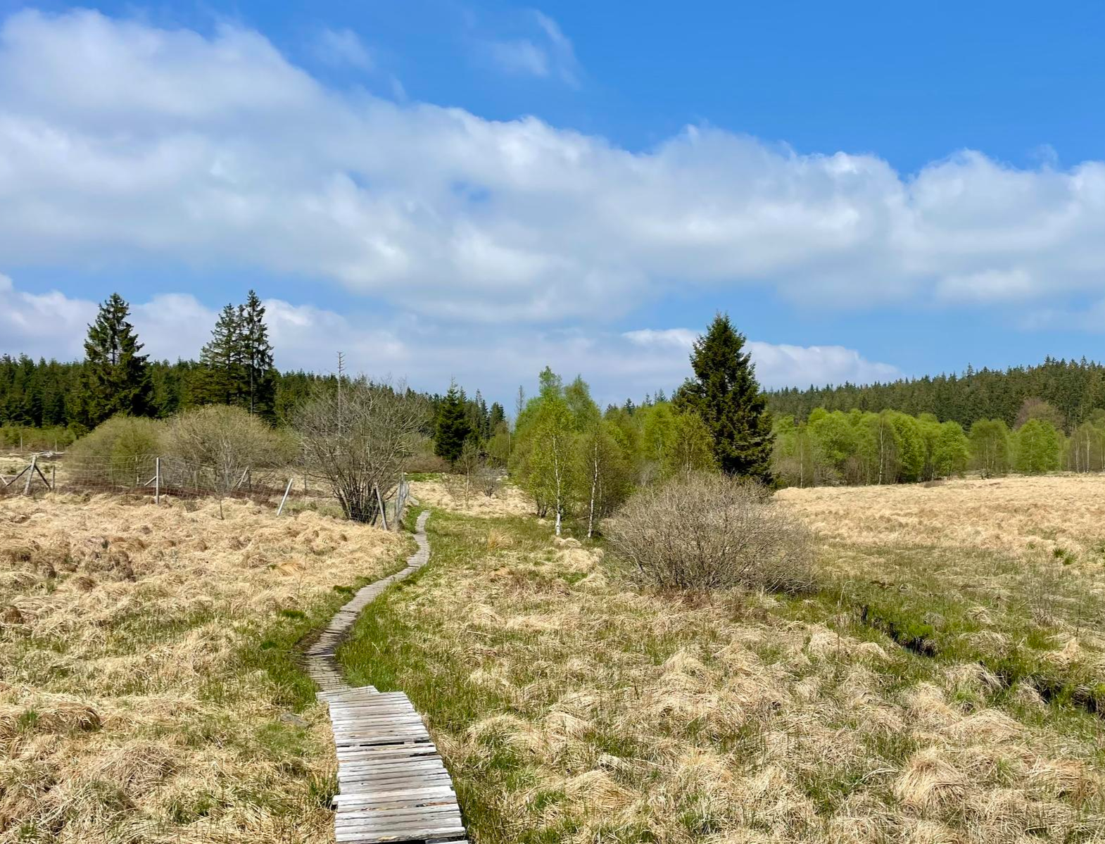
Nature et Histoire à la frontière germano-belge — Chemin du souvenir
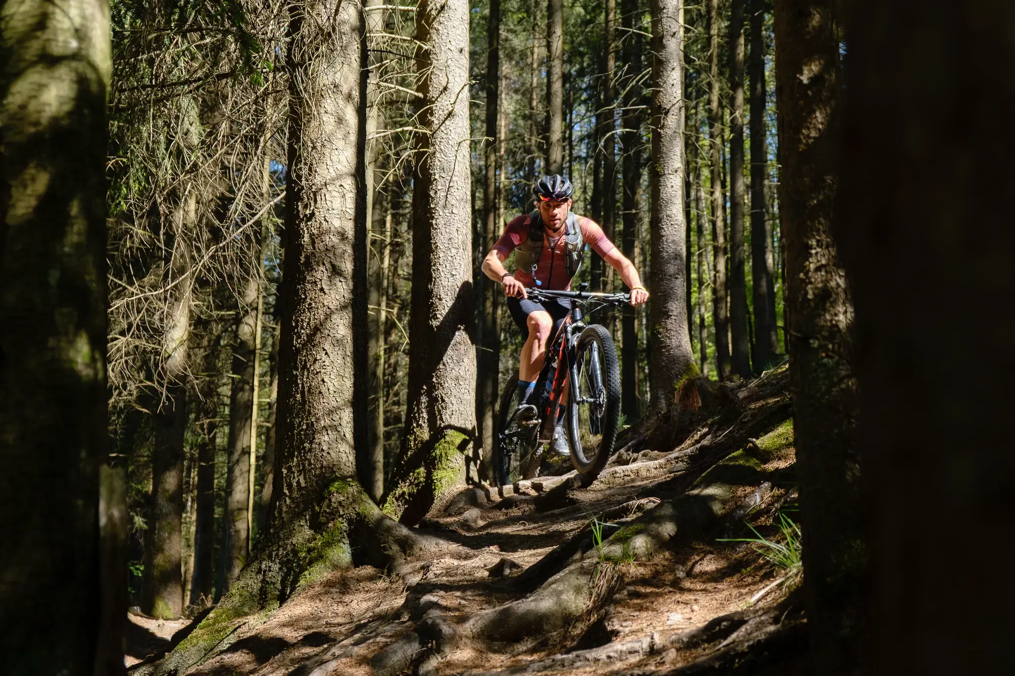
Stoneman Arduenna – old-school mountain biking in East Belgium
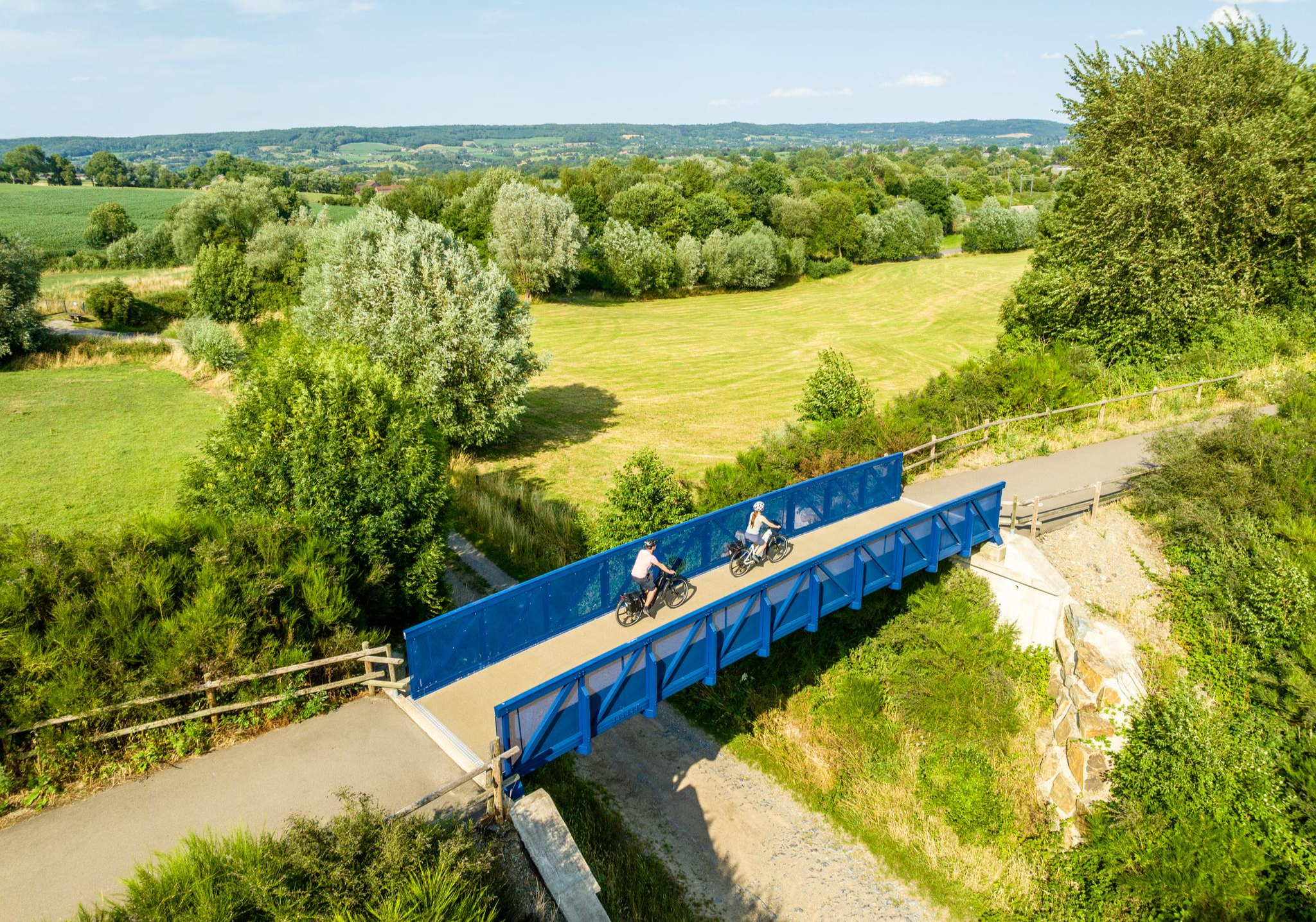
Three countries, one experience – borderless cycling in the Aachen region
Other adventures around Verviers


Tips from the Community

The MN18 Observation Bunker is part of the first line of defense of the Position Fortifiée de Liège (PFL), a network of bunkers built in the 1930s to defend Belgium against a German invasion. MN18 was the 18th bunker in the Margarins-Neufchâteau sector and equipped with an FM turret, recognizable by its tapered shape. During the German attack in May 1940, the bunker was destroyed by a 50 kg shaped charge placed on top of the turret, just where the periscope was located. The damage is still visible, making MN18 a tangible reminder of World War II. Right next to the bunker is the Knuppelstock orientation table, an impressive work of blue limestone with a diameter of 1.5 meters and weighing approximately one ton. The relief of the surrounding landscape is engraved on it based on data from the National Geographic Institute, with bronze details indicating the visible points. The table is also accessible for the visually impaired thanks to its tactile elements. The project, carried out by local organizations such as Qualité-Village-Wallonie and the municipality of Aubel, is unique in Belgium.
11
0

At this point, history and landscape converge. The MN18 observation bunker, a silent witness to the Second World War, still stands as a reminder of a turbulent period. From the bunker, you also have a unique view of the surrounding hilly landscape. Next to the bunker is the Knuppelstock orientation table, a platform that indicates the names and directions of villages, hills, and landmarks in the area. It's an ideal spot to get to know the region better and to enjoy a panoramic view of the border area between the Netherlands and Belgium.
4
0

Quite busy at this location
2
0

Remains one of my favorite climbs in the Ardennes. Definitely recommended with the fall colors!
0
0

After a challenging climb, you will reach the Three Borders area, which marks the meeting point between Belgium, the Netherlands, and Germany. This border is marked by marker 193. Also located here is the monument commemorating Pierre Roiseux, a war volunteer who died at this spot during the Battle of the Bulge on December 25, 1944.
3
1

North side of the Rosier, long gradual climb between the trees. Beautiful! Cotacol #815
0
0

Approaching from Spa: Even on a Sunday, there's little traffic. The further you get from Spa, the better the asphalt gets. After going downhill from Spa, the asphalt is pretty bad for the last 2 km.
1
0

The junction point between the Netherlands, Belgium and Germany is symbolized by a terminal. The site is also the highest point in the Netherlands. In season, the brasserie will allow you to eat and/or satisfy yourself after returning from one of the proposed hiking trails. The panoramic view must be exceptional from the top of the tower... but not for me, I'm afraid of heights!
3
0
Frequently Asked Questions
What are the highest points in the region around Verviers?
The highest point in Belgium, Signal de Botrange, is located near Verviers at 694 meters. An artificial mound, Baltia Hill, brings its symbolic elevation to 700 meters. Additionally, the Vaalserberg Three-Country Point is the highest point in the Netherlands (322.4 meters) and is also situated within the broader region.
Are there family-friendly mountain peaks or viewpoints near Verviers?
Yes, several spots are suitable for families. The Vaalserberg Three-Country Point offers an observation tower and activities, making it popular for all ages. Signal de Botrange and its nearby viewing platform, View of the High Fens from the Signal de Botrange, are also considered family-friendly, providing easy access to scenic views.
What unique natural features can I explore near Verviers' peaks?
The region is home to the High Fens (Hautes Fagnes), a unique plateau ecosystem of bogs and heathland, particularly around Signal de Botrange and Baraque Michel. This distinct landscape offers a unique natural experience with diverse flora and fauna.
What kind of hiking opportunities are available near the mountain peaks around Verviers?
The area around Verviers, especially the High Fens, provides an extensive network of hiking trails. You can find routes like the 'Pleasure tour 12: "The great Vennrunde" Mont Rigi' or 'Botrange's great fen loop' which offer moderate challenges. For more options, explore the Hiking around Verviers guide.
Can I go cycling or mountain biking near these peaks?
Absolutely. The hilly terrain is excellent for cycling. For road cyclists, routes like the 'Amblève loop via the Coo waterfall' or 'Hautes Fagnes loop' are popular. Mountain bikers can explore trails such as 'New Wolfsbusch round' or 'Eupen MTB Trails'. Find more details in the Road Cycling Routes around Verviers and MTB Trails around Verviers guides.
What are some of the best viewpoints in the Verviers mountain region?
Beyond the panoramic views from Vaalserberg Three-Country Point, the View of the High Fens from the Signal de Botrange offers impressive vistas over the Walloon Fens. On clear days, you might even spot distant church steeples. The Vaalserberg Climb via Route des Trois Bornes also provides beautiful vistas towards Belgium.
What is the best time of year to visit the mountain peaks around Verviers?
The region is enjoyable year-round. Spring and autumn offer pleasant temperatures for hiking and cycling amidst changing foliage. In winter, the High Fens transform into a popular destination for cross-country skiing, especially around Signal de Botrange.
Are there any historically significant high points in the area?
Yes, Baraque Michel, another high point in the High Fens, holds historical significance. The Vaalserberg Three-Country Point is also a historical landmark where the borders of three European countries converge.
What do visitors enjoy most about the mountain peaks around Verviers?
Visitors frequently praise the exceptional panoramic views, especially from locations like Vaalserberg Three-Country Point and the View of the High Fens from the Signal de Botrange. The unique natural beauty of the High Fens and the diverse outdoor activity options, from challenging climbs like Col du Rosier East Ascent to family-friendly walks, are also highly appreciated.
Are there any challenging climbs for experienced cyclists near Verviers?
Yes, the region offers challenging climbs. The Col du Rosier East Ascent is known as the shortest but most intense variant of the Rosier climb, featuring steep percentages and scenic forest sections. The Vaalserberg Climb via Route des Trois Bornes also provides a good challenge with beautiful vistas.
Where can I find less crowded mountain hikes near Verviers?
While popular spots like Signal de Botrange can attract visitors, the vastness of the High Fens and the Ardennes region means you can often find quieter trails. Exploring routes further into the natural reserves or choosing less prominent summits like Steling Summit (658 m) can offer a more serene experience.
Most popular routes around Verviers
Most popular attractions around Verviers

Get inspired with the komoot mobile app


Didn’t find what you were looking for?
Discover Verviers’s best peaks and summits by region:
Explore more
See even more amazing summits around Verviers with these guides:
