The best running trails around Sint-Niklaas
4.3
(512)
26,568
runners
1,686
runs
Jogging around Sint-Niklaas offers diverse opportunities to explore green spaces, recreational domains, and scenic routes. The region features extensive recreation areas like De Ster with its large lake and forests, alongside urban parks such as Romain De Vidtspark. Surrounding natural landscapes include the unique Polders of Kruibeke and regenerated heathland areas like Heide Stropersbos, providing varied terrain for running. The city's commitment to green infrastructure ensures numerous accessible areas for outdoor exercise.
Best jogging routes around Sint-Niklaas
- The most popular…
Last updated: August 27, 2026
3.0
(21)
470
runners
6.82km
00:44
30m
30m
Moderate run. Good fitness required. Mostly paved surfaces. Suitable for all skill levels.
5.0
(3)
634
runners
Hard run. Very good fitness required. Mostly paved surfaces. Suitable for all skill levels.

Sign up for free
5.0
(1)
253
runners
4.94km
00:32
10m
10m
Easy run. Great for any fitness level. Mostly paved surfaces. Suitable for all skill levels.
4.5
(6)
196
runners
6.07km
00:38
20m
20m
Hard run. Good fitness required. Sure-footedness, sturdy shoes and alpine experience required.
182
runners
20.0km
02:13
30m
30m
Hard run. Very good fitness required. Mostly paved surfaces. Suitable for all skill levels.
4.4
(5)
162
runners
5.03km
00:32
10m
10m
Hard run. Good fitness required. Sure-footedness, sturdy shoes and alpine experience required.
4.7
(6)
154
runners
7.40km
00:48
10m
10m
Moderate run. Good fitness required. Mostly paved surfaces. Suitable for all skill levels.
5.0
(2)
139
runners
17.6km
01:55
30m
30m
Hard run. Very good fitness required. Mostly paved surfaces. Suitable for all skill levels.
4.5
(4)
154
runners
22.2km
02:28
20m
20m
Hard run. Very good fitness required. Mostly paved surfaces. Suitable for all skill levels.
4.0
(2)
127
runners
12.3km
01:16
10m
10m
Moderate run. Good fitness required. Mostly paved surfaces. Suitable for all skill levels.
Get access to more routes and recommendations from other explorers.
Sign up for free
Already have an account?
Our route recommendations are based on thousands of hikes, rides, and runs completed by other people on komoot.
Start today with a free account
Your next adventure awaits.
Login or Signup
Popular around Sint-Niklaas
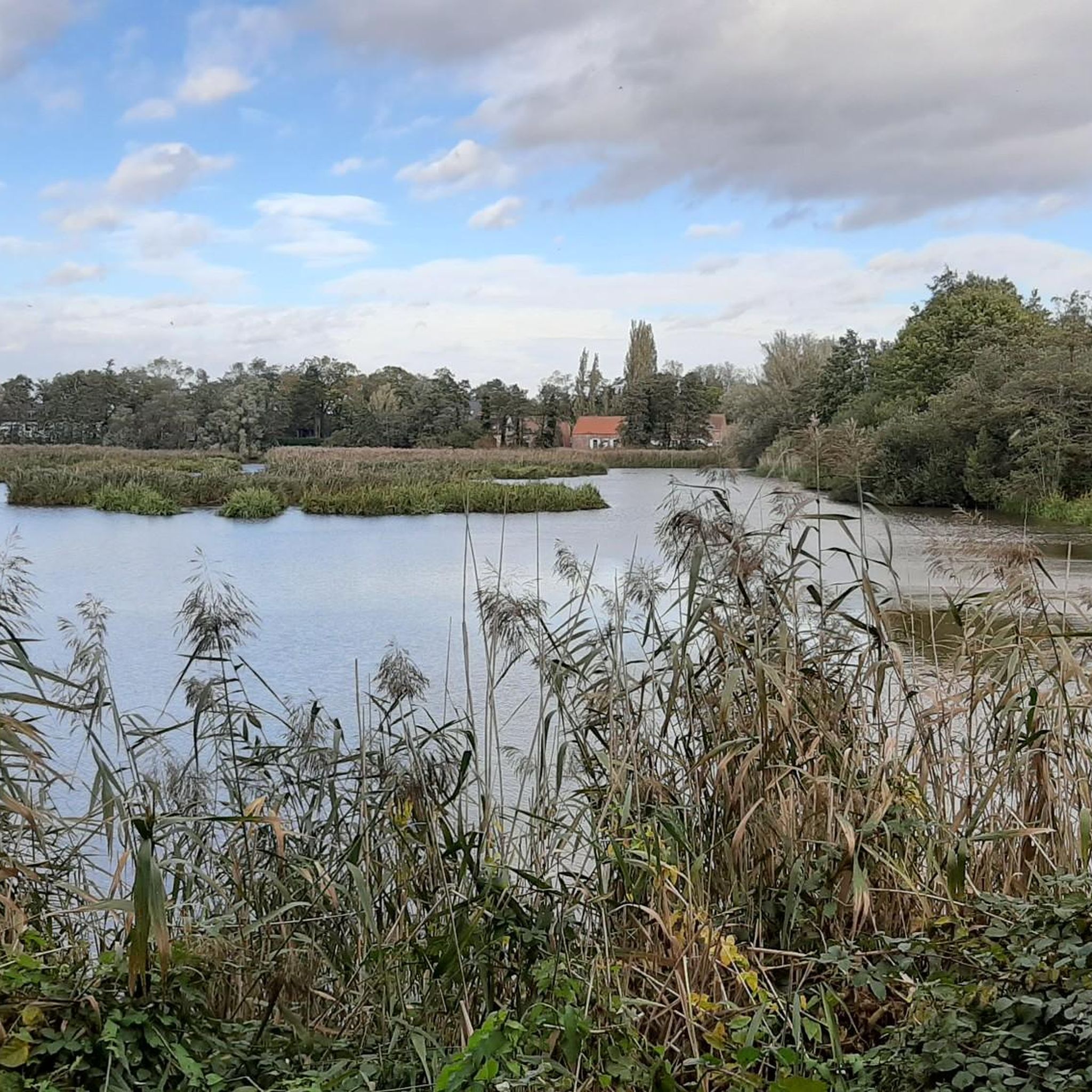
Running Trails around Lokeren
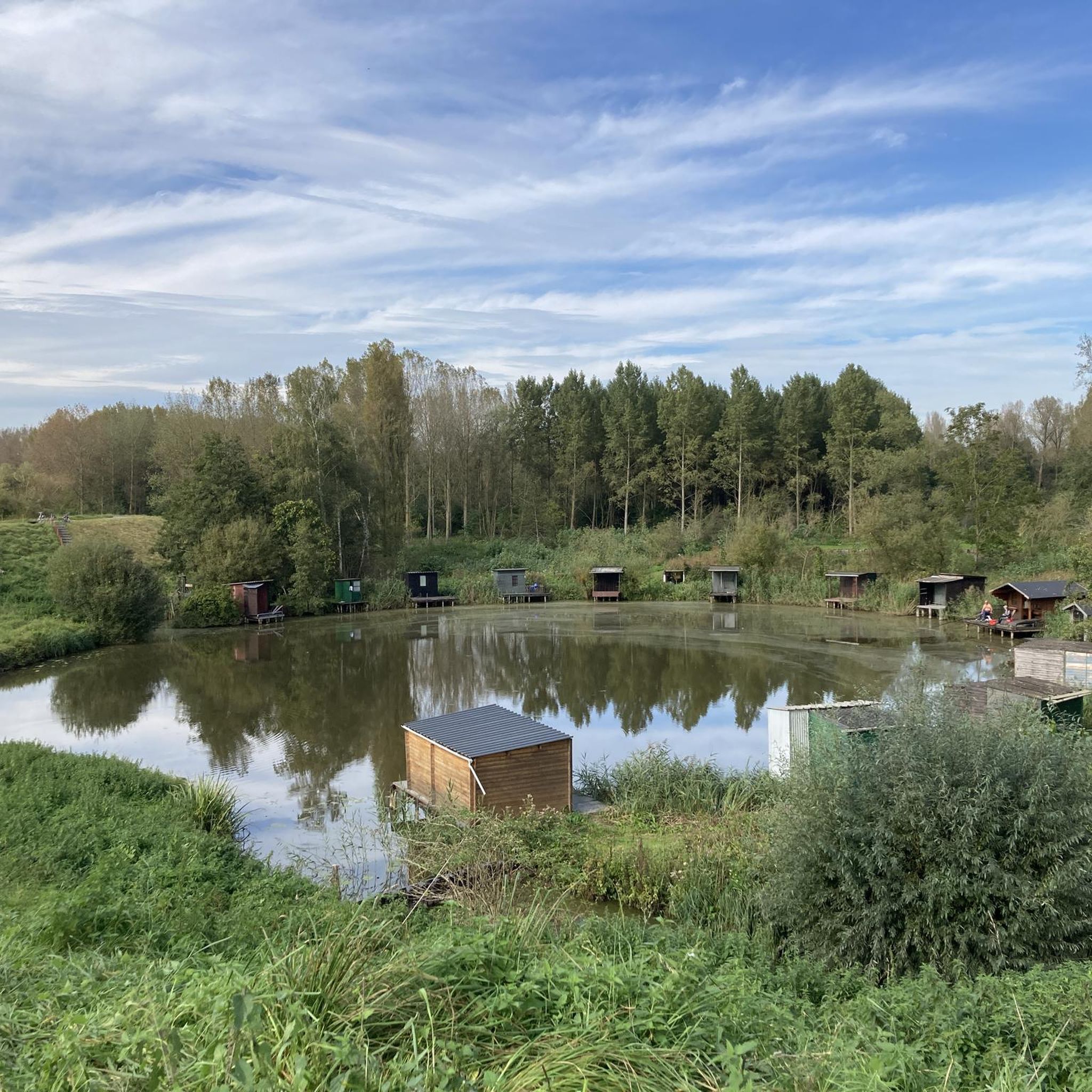
Running Trails around Temse
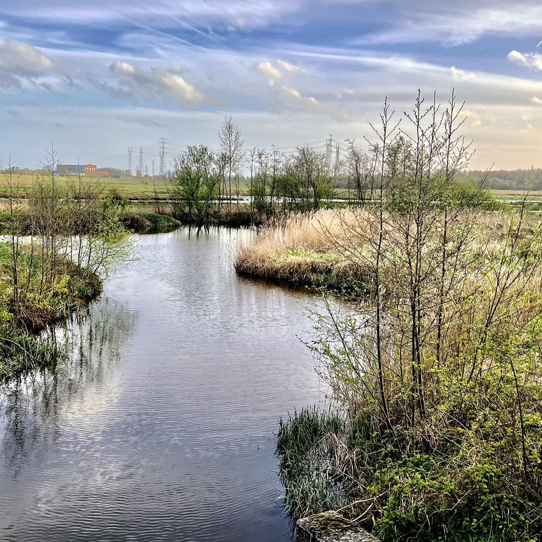
Running Trails around Kruibeke
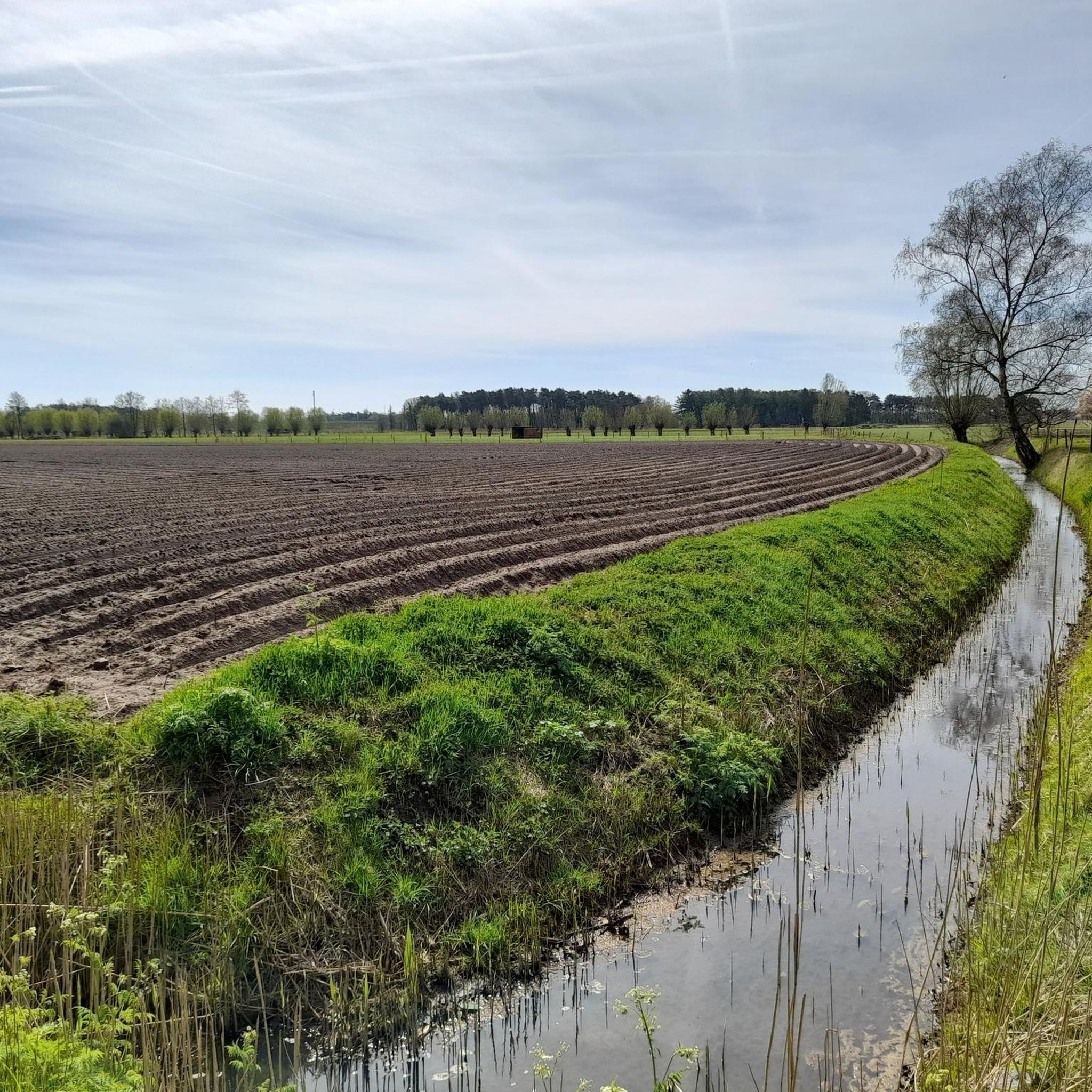
Running Trails around Stekene
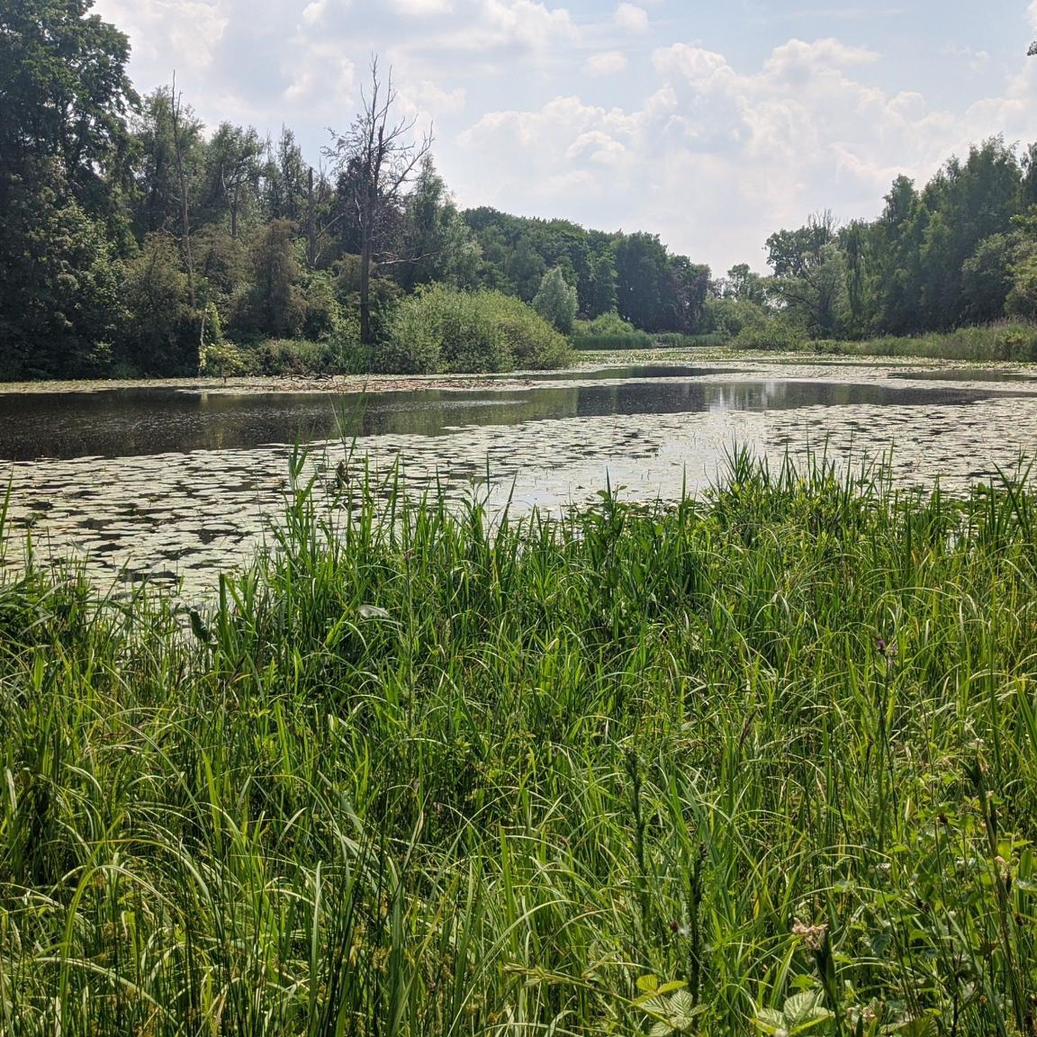
Running Trails around Sint-Gillis-Waas
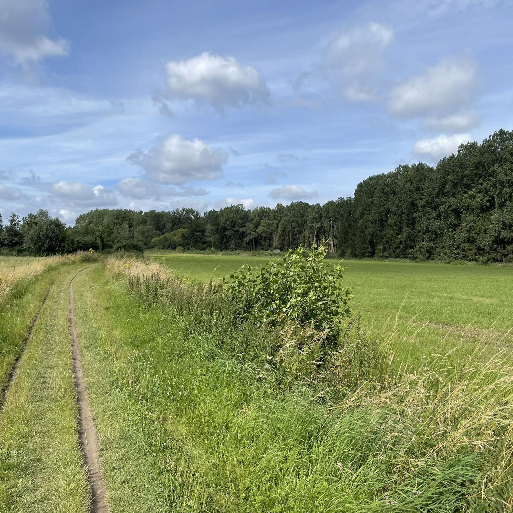
Running Trails in Daknamse Meersen
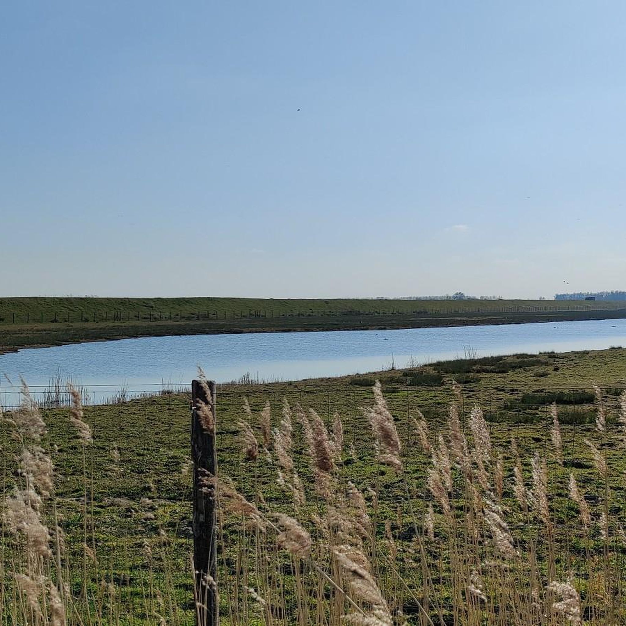
Running Trails around Beveren
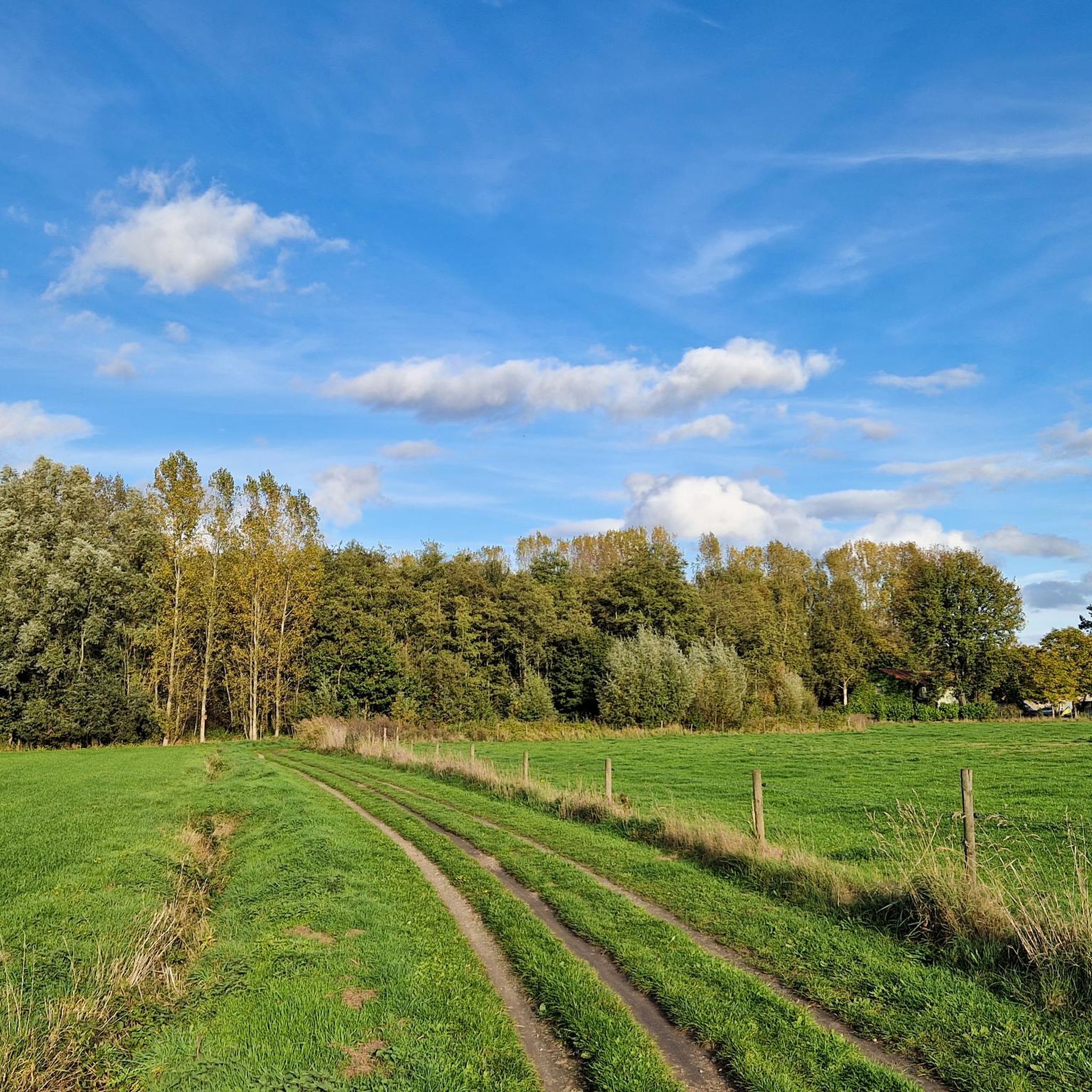
Running Trails in De Linie
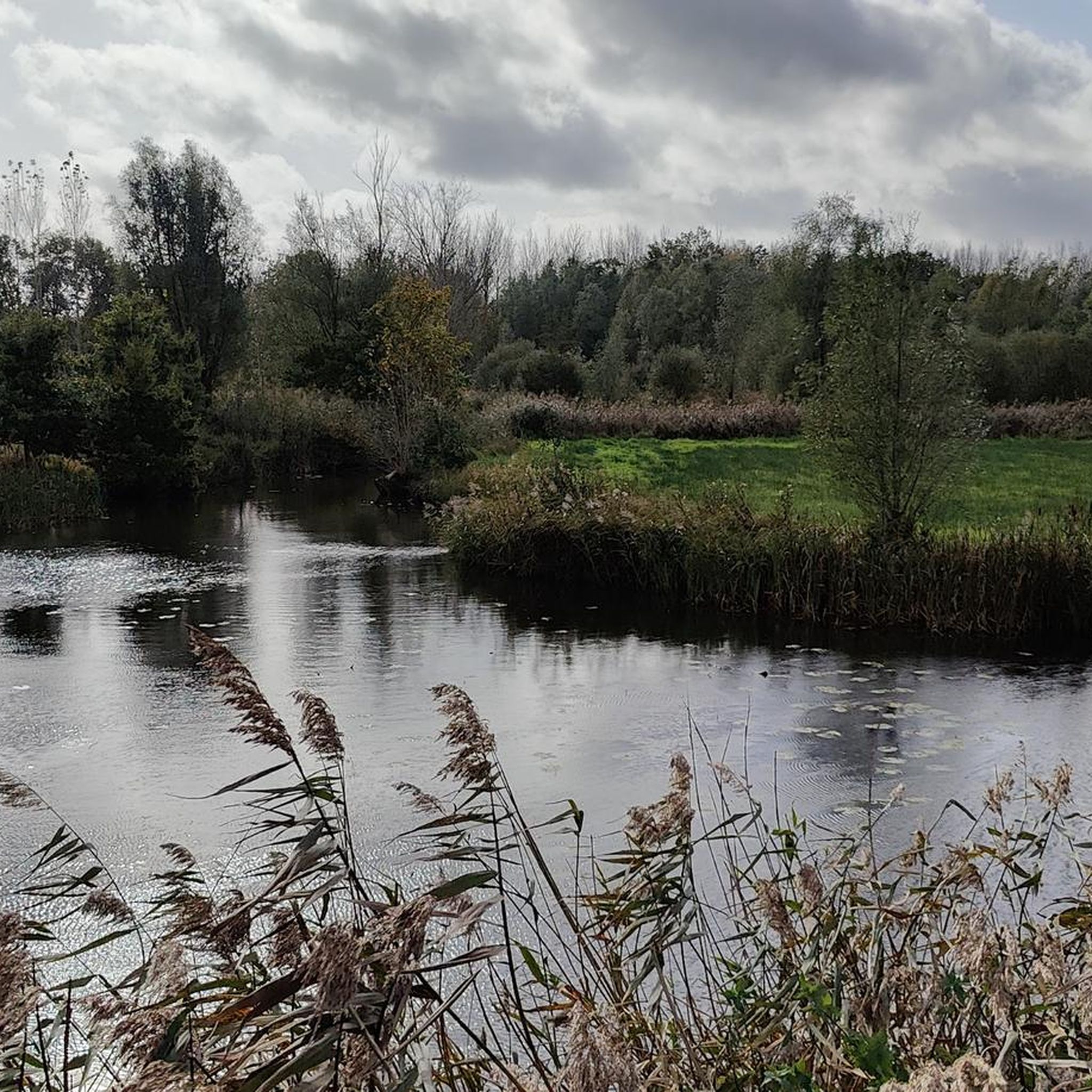
Running Trails in Barbierbeekvallei En Bolakkergebied
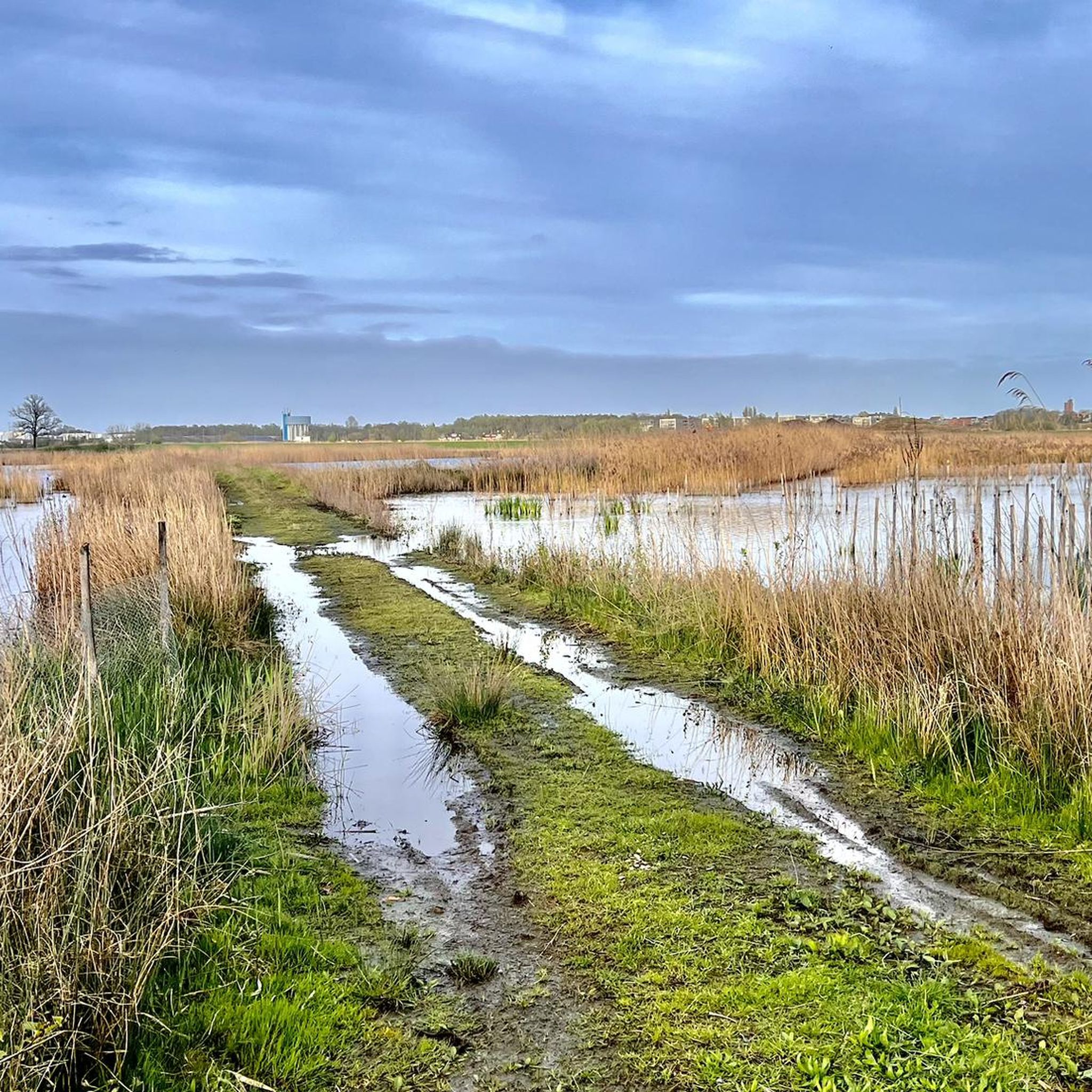
Running Trails in Polder Van Kruibeke, Bazel En Rupelmonde
Other adventures around Sint-Niklaas


Tips from the Community


The Stropersbos is located right on the Belgian-Dutch border and forms a whole with the Clingse Bossen, as the forest on the Dutch side of the border is called. The history of the forest dates back to the 13th century. This means that the forest has experienced wars, and from one of those wars, the War of the Spanish Succession (1702-1713), very clear traces can still be seen: there are still a number of remnants of the Line that served here in 1701. A little further north, there are also remains of Fort Sint-Jan (from which the Dutch municipality Sint-Jan-Steen derives its name). But even if you are not interested in that history, the Stropersbos is a special place, both for the tree and plant lover, the birdwatcher, the playing child, the boot-wearing walker who likes to trudge through mud, the bivouacker, ... and everyone who simply enjoys a walk. There is a good chance you will encounter wild horses, pass grazing sheep, or that - who knows, maybe you'll be as lucky as I was - roe deer or a fox will cross your path. In short: a very beautiful hiking area ...
3
0
The numbers of the border posts on the Belgian-Dutch border run upwards from border post number 1 at the Drielandenpunt in Vaals, to 369 near Retranchement. It's funny that neither the first nor the last post is actually on the border (the evolution of the Zwin is partly responsible for the last post). On almost all posts, the year 1843 is shown. Only in Zeeuws-Vlaanderen are there 7 border posts with a later year, which were placed after land reclamation. The posts are made of cast iron and weigh 372 kilograms. Each post is equipped with the Belgian Lion on the Belgian side and the Dutch Lion with sword and arrows on the other side. And each post has a number. The Belgian-Dutch border is 458 kilometers long. On average, the posts are therefore just over a kilometer apart. source: bestemmingbuitenlucht.nl/
2
0
De Kouterwegel was the very first to win the Grage Weg Award, an initiative by the Province of Oost-Vlaanderen, which aims to reward inspiring slow roads that people not only use functionally, but which also invite an experience. De Kouterwegel is part of the Kaboutermolenpad, a special route that distinguishes itself through its pronounced experiential value, according to the award jury, an example of how slow roads can entice people to consciously choose a detour, purely for the sake of the experience. After all, a slow road is more than just a connection between two points. It is a place that stimulates one or more senses, that connects with the environment and that attracts users through its unique character. The Kaboutermolenpad - Kouterwegel succeeds in this, according to the jury, with flying colours. Along the path, playful gnome figures create wonder for young and old. Visitors can stop at a chapel that invites rest and connection, or enjoy a break at a nearby café. The unpaved path is simultaneously barrier-free and accessible to everyone, and is clearly signposted. The route winds through a varied and quiet landscape, where a rich palette of scents and colours constantly stimulates the senses. This is what can be read on pers.oost-vlaanderen.be... a recognisable report, but during my passage I thought: I hope that the prize money from the Grage Weg 2026 will be used to restore the gnome figures, which here and there are in considerable need of repair or beautification.
1
0
De Bezenkoek is nowadays mainly known as a hiking and cycling area. The name refers to a legendary inn that offered every customer a currant cake upon opening. That inn made way for a villa. Thanks to the wind during the last phase of the ice age, you will find a unique landscape here. This area lies on a ridge of windblown sand. This is a remnant from the late ice age (around 12,000 to 14,000 years ago) where sand from the Durme valley was blown up into a large dune. It is no coincidence that this area is forested. It is less fertile ground for agriculture, but suitable for forestry. It is also no coincidence that so many pines grow here. The wood was used for a long time for mining and for the production of matches. People especially wanted straight tree trunks. That is why they usually stand very close together. Nowadays, more native deciduous trees are systematically planted in the area. Parts of the area along the Ransbeek are often marshy. Therefore, 'knuppelpaden' (log paths): a path over logs, appeared in a number of places. source: ontdeksintniklaas.be
2
0
The Weduwe Voswegel, also called the Gouden Leeuwpad, is a surprisingly beautiful slow connecting path. The path is 1650 m long and runs zig-zag from Gouden Leeuwstraat to the church of Puivelde in Kruisstraat. The zig-zag pattern that characterizes the path has to do with the forest plots along it. The path mostly has a side ditch along its length and is bordered by meadows and especially forest. The path is quite well maintained. The path is only quite narrow in the forests (0.5 m to 1.5 m). On the side of Gouden Leeuwstraat you will find an old hedge with no less than 14 different types of hedge plants. (Hornbeam, Hawthorn, Beech, Holly, Elder, Elderberry, Hop, Blackberry, Pedunculate Oak, Privet, Ivy, Bindweed, Cotoneaster, Hazel) The name of the path is said to refer to a lady who tricked rich people to later give their possessions to the poor; a kind of local, female version of Robin Hood :-) source: De Raaklijn
2
0
The Molenbeek forms part of the northern border of the municipality of Sint-Niklaas with the municipalities of Sint-Gillis-Waas and Stekene. Hydrographically, the Molenbeek belongs to the basin of the Gentse Kanalen. Previously, the Molenbeek originated in the center of Sint-Niklaas, at the site where the Romain De Vidtspark is now located. Nowadays, the stream flows through the entire Sint-Niklaas center from south to north in culverts, to re-emerge on the surface at the edge of Belsele and then flow through Sinaai until it flows into the Stekense Vaart. From that confluence, a path follows the banks of the stream for a considerable distance.
2
0
On an information board on site, the history of the Stekense Vaart can be read. It began as early as 1315. Count Robrecht III of Béthune then gave the order to dig a canal from Ghent to Hulst. In Stekene, this new 'waterway' turned marshes into arable land and increased export opportunities. In 1556, many fields in Stekene were submerged for a long time. King Philip II of Spain therefore granted a charter for a direct connection to the Durme. In 1628, King Philip IV gave permission to extend the Stekense Vaart by 1300 meters to Hulst. This connected the Vaart to the Westerschelde, which was advantageous for trade. Hulst could thus also be supplied with war materials. South of Moerbeke, between 1637 and 1643, a new canal was dug connecting the Stekense Vaart with the Moervaart. Ships sailing between Ghent and Stekene no longer had to make a detour via the Spelonckvaart. After the Eighty Years' War ended in 1648, the connection with the Westerschelde was broken. The economic benefit of the Vaart was lost. The Vaart was dammed at Tromp in 1691. In 1853, the municipality of Stekene became the owner of the Vaart on the condition that it also be responsible for maintenance. In 1950, the Vaart was declared unnavigable. Wastewater from Sint-Niklaas caused pollution and a strong stench, here at the Quay. In 1953, a cross dam was built in the Durme in Lokeren. The tidal effect on the Stekense Vaart was thus a thing of the past. In 1964, a water treatment plant was commissioned in Sint-Niklaas. This significantly improved the water quality in the Stekense Vaart. In 1995, a water treatment plant was also built in Stekene. In 1998, the area around the Vaart was classified as a quiet area.
2
0
Frequently Asked Questions
How many running routes are available in Sint-Niklaas?
Sint-Niklaas offers a vast network of running trails, with over 1,500 routes available on komoot. These cater to a wide range of preferences, from short, easy jogs to more challenging long-distance runs.
What are the difficulty levels of running trails in Sint-Niklaas?
The running trails around Sint-Niklaas offer a good mix of difficulty levels. You'll find approximately 150 easy routes perfect for beginners, over 1,200 moderate trails for those looking for a balanced challenge, and around 150 difficult routes for experienced runners seeking more demanding terrain.
What do other runners say about the trails in Sint-Niklaas?
The running trails in Sint-Niklaas are highly regarded by the komoot community, boasting an average rating of 4.4 out of 5 stars from over 370 reviews. More than 22,000 runners have explored the diverse terrain, often praising the scenic green spaces, recreational lakes, and expansive polder landscapes.
Are there easy running routes for beginners in Sint-Niklaas?
Yes, Sint-Niklaas has numerous easy running routes suitable for beginners. For example, the Running loop from Beveren is an easy 4.9 km path that offers a gentle introduction to the region's trails. Many routes through urban parks like Romain De Vidtspark also provide accessible, flat surfaces.
Can I find family-friendly jogging routes in the area?
Absolutely. Many of the recreational domains and parks in Sint-Niklaas are ideal for family-friendly jogging. Areas like Recreatiedomein De Ster offer wide, well-maintained paths around the lake and through forests, providing a safe and enjoyable environment for families to run together. The Romain De Vidtspark also has winding paths suitable for a leisurely family jog.
Are there running trails suitable for dogs?
While specific dog-friendly designations vary, many natural areas and parks in Sint-Niklaas are generally welcoming to dogs on a leash. The extensive green spaces of Recreatiedomein De Ster and the trails through the Polders of Kruibeke offer ample space for you and your canine companion to enjoy a run, provided local regulations are followed.
Where can I find circular running routes around Sint-Niklaas?
Many of the popular running routes in Sint-Niklaas are circular, allowing you to start and finish at the same point. A great example is the Molsbroek Nature Reserve loop from Molsbroek, which is a moderate 5.9 km circular trail. The Fitness trail – De Ster Lake loop from Bosmanshoeckbos is another excellent circular option around the recreational lake.
Are there running routes with good parking facilities?
Yes, many key recreational areas and starting points for running routes in Sint-Niklaas offer convenient parking. For instance, Recreatiedomein De Ster, a popular spot for runners, has dedicated parking facilities. Routes starting from towns like Kruibeke, such as the Polder Noord – Inline Skating Route loop from Kruibeke, often have accessible parking nearby.
What are some scenic running routes with viewpoints in Sint-Niklaas?
For scenic runs, explore the unique landscapes of the Polders of Kruibeke, which offer expansive views of the largest flood plain in Flanders. While not traditional viewpoints, the open nature of the polders provides stunning vistas, especially when the water recedes. The trails around Recreatiedomein De Ster also offer picturesque views of the large lake and surrounding forests.
Can I see any historical sites or natural landmarks while running?
Yes, several running routes pass by interesting landmarks. You might encounter historical sites like Graventoren - Rupelmonde or the grounds of Wissekerke Castle. Natural features include the unique landscapes of the Polders of Kruibeke, which are part of the ingenious Sigma Plan, and the regenerated heathland of Heide Stropersbos.
Are there any unique natural features to explore on a run, like temporary waterfalls?
Indeed! The Polders of Kruibeke, as part of the Sigma Plan, are designed to manage floodwaters. This can lead to stunning natural scenes, including temporary waterfalls when the area is inundated and water recedes. Running through this area offers a unique opportunity to witness these dynamic natural phenomena and observe diverse wildlife like beavers and various bird species.
Are there any less crowded running options in Sint-Niklaas?
To find less crowded running options, consider exploring trails slightly outside the immediate city center or during off-peak hours. The extensive network of routes, particularly those venturing into areas like the Heide Stropersbos or the broader Polders of Kruibeke, can offer a more secluded running experience compared to the more popular urban parks.
Most popular routes around Sint-Niklaas
Most popular attractions around Sint-Niklaas

Get inspired with the komoot mobile app


Didn’t find what you were looking for?
Check out more Running Trails & Routes throughout Sint-Niklaas below and find the perfect route in your destination.
Explore more
Browse the best Running Trails & Routes in other regions.
