The 20 Most Amazing Peaks around Eupen
Best mountain peaks around Eupen are found in a region characterized by its unique bog and moorland landscape, situated at the gateway to the High Fens and parts of the Ardennes. This area features elevated terrain and distinct natural beauty. Eupen serves as a base for exploring Belgium's largest nature reserve, offering diverse outdoor activities. The region's highest point is a notable feature, providing varied experiences for visitors.
Best mountain peaks around Eupen
- The most popular mountain peaks is Vaalserberg…
Last updated: October 4, 2026
Vaalserberg Three-Country Point
Highlight • Monument
Translated by Google •
Tip by

Baltia Hill – Highest Point of Belgium
Highlight • Summit
Translated by Google •
Tip by

Sign up now to discover places like this
Get recommendations on the best single tracks, peaks, & plenty of other exciting outdoor places.
Ehrensteinley Viewpoint
Highlight • Viewpoint
Translated by Google •
Tip by

Baraque Michel
Highlight • Mountain Hut
Showing Translation
Tip by

Vaalserberg Climb via Route des Trois Bornes
Highlight (Segment) • Climb
Translated by Google •
Tip by

Sign up for free to discover even more peaks around Eupen.
Already have an account?
Start today with a free account
Your next adventure awaits.
Popular around Eupen
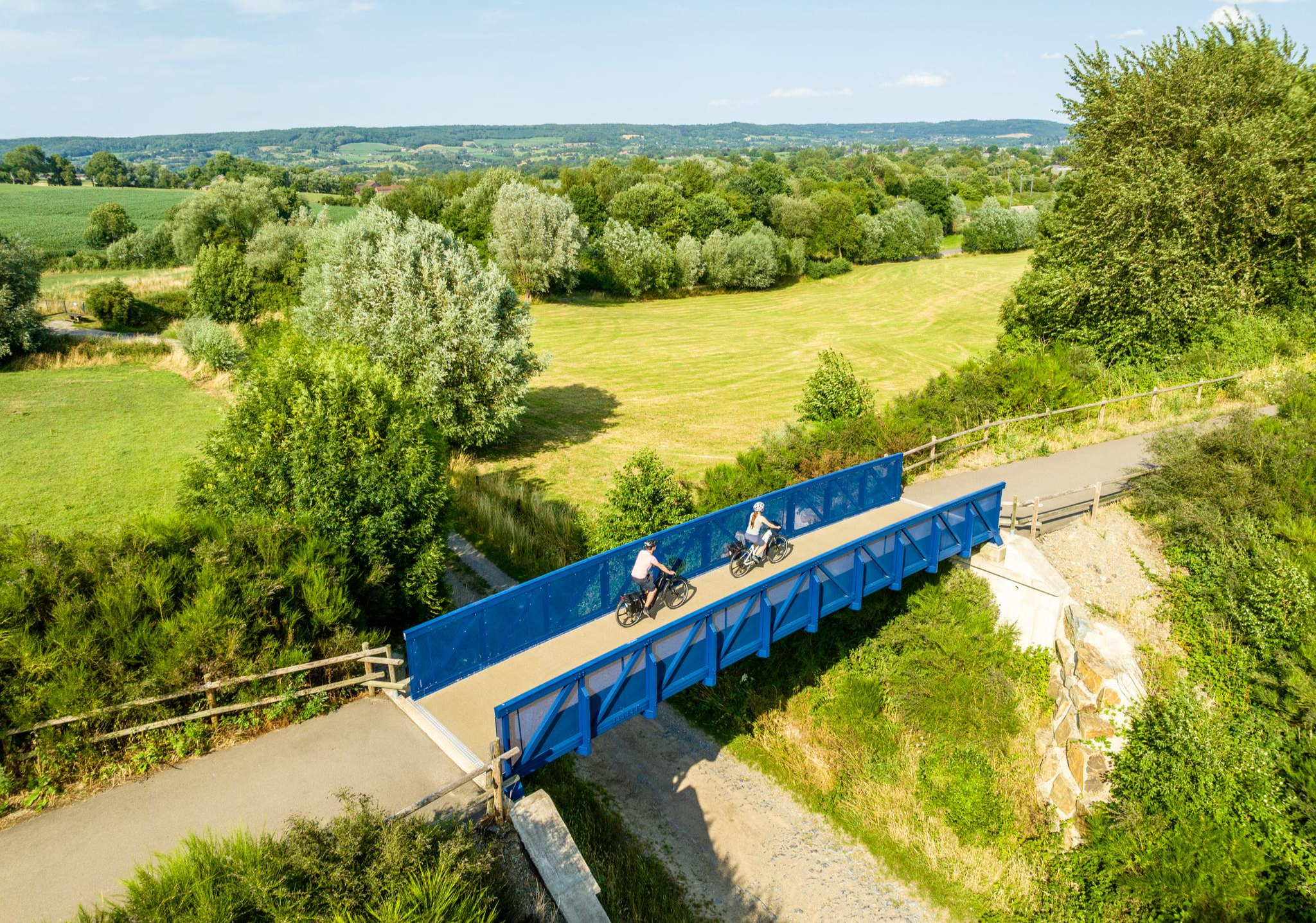
Three countries, one experience – borderless cycling in the Aachen region
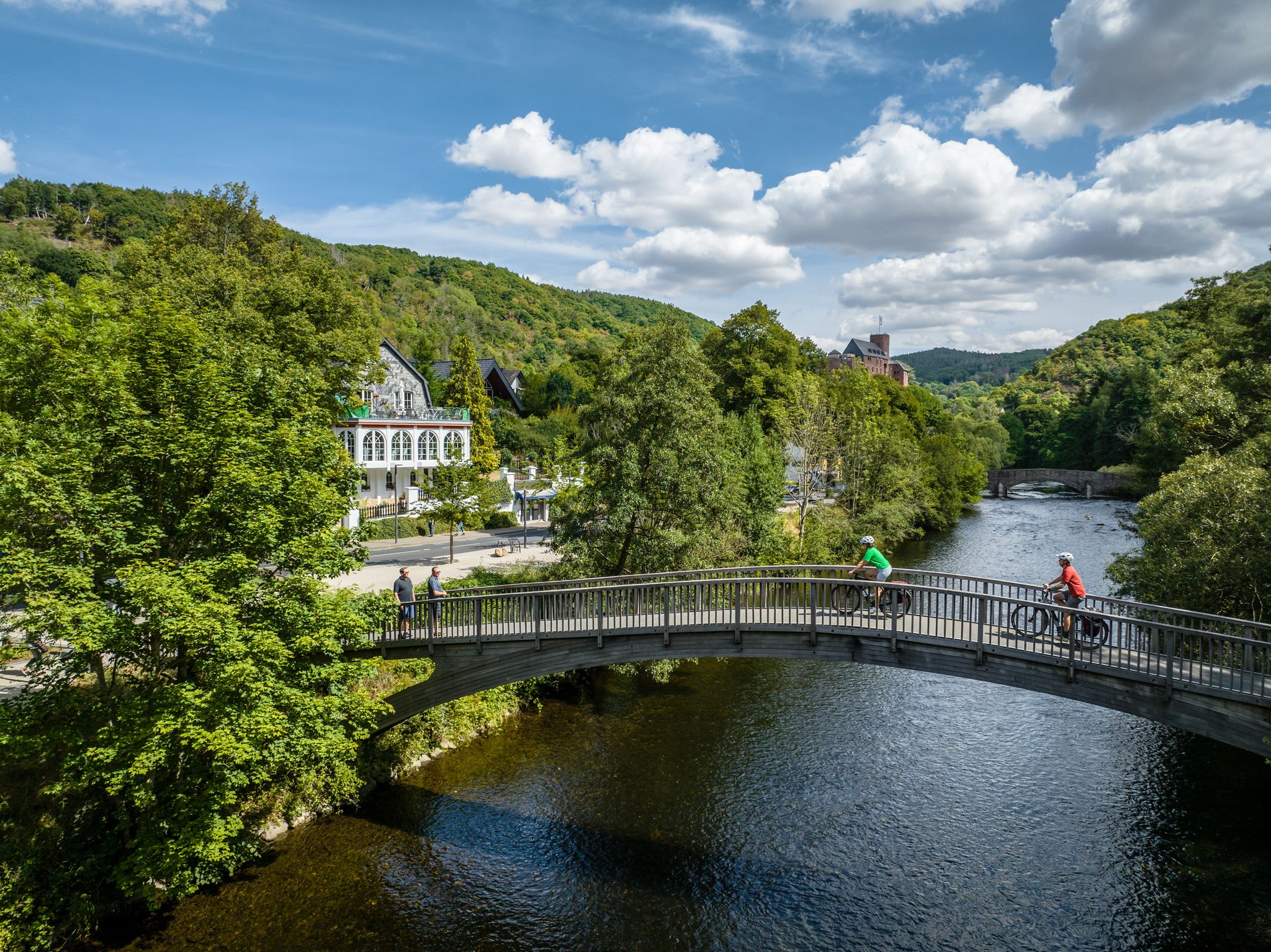
Heights, castles, moors – RURschleifen by bike
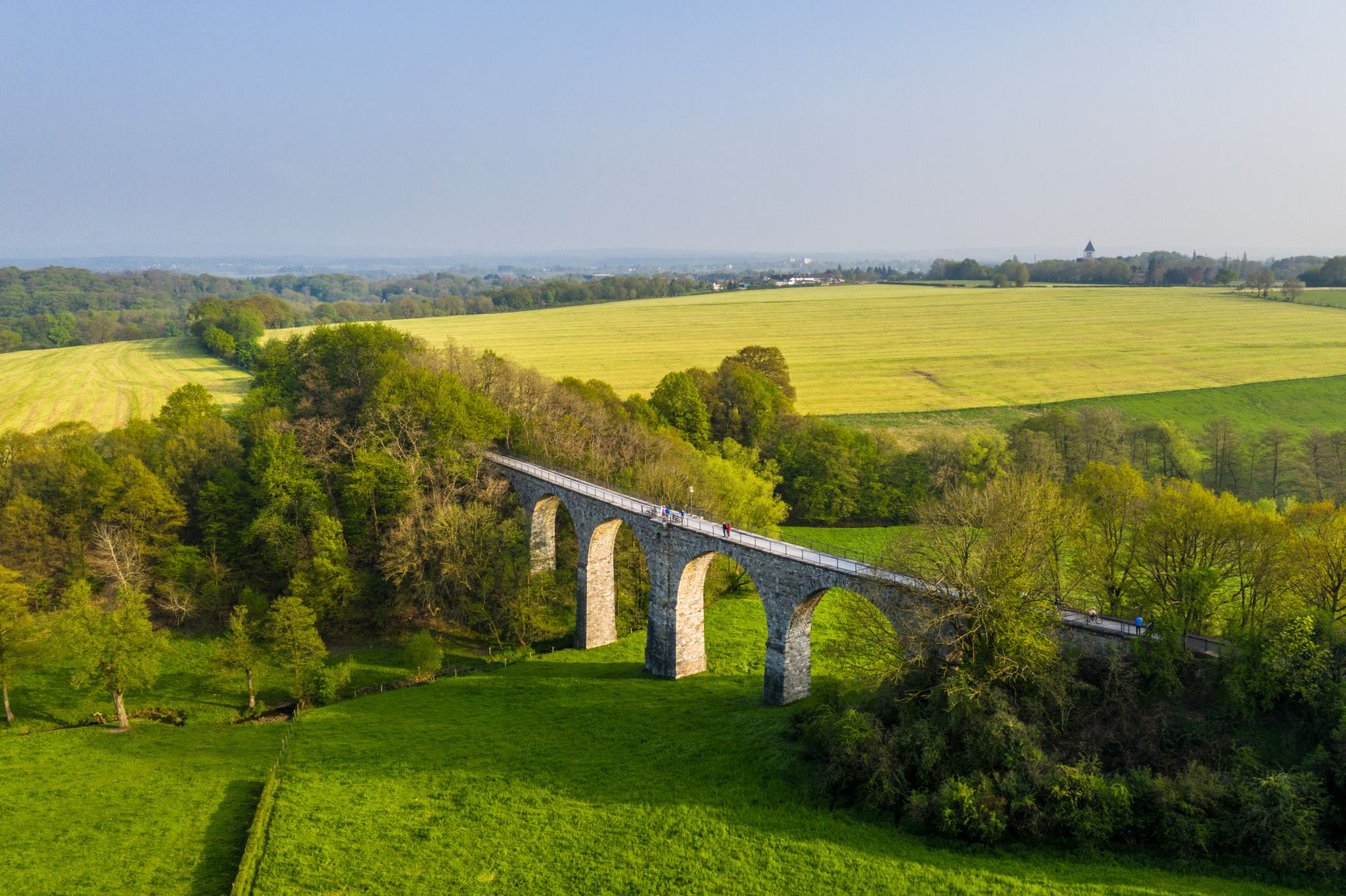
Cycling the tracks of the Vennbahn – the Vennbahnschleifen
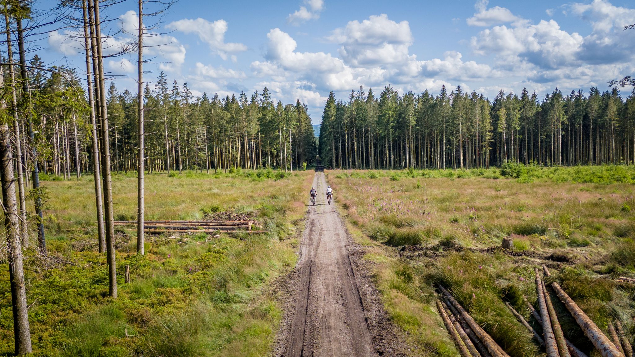
Vennbahn-Variant: A new gravel/MTB adventure
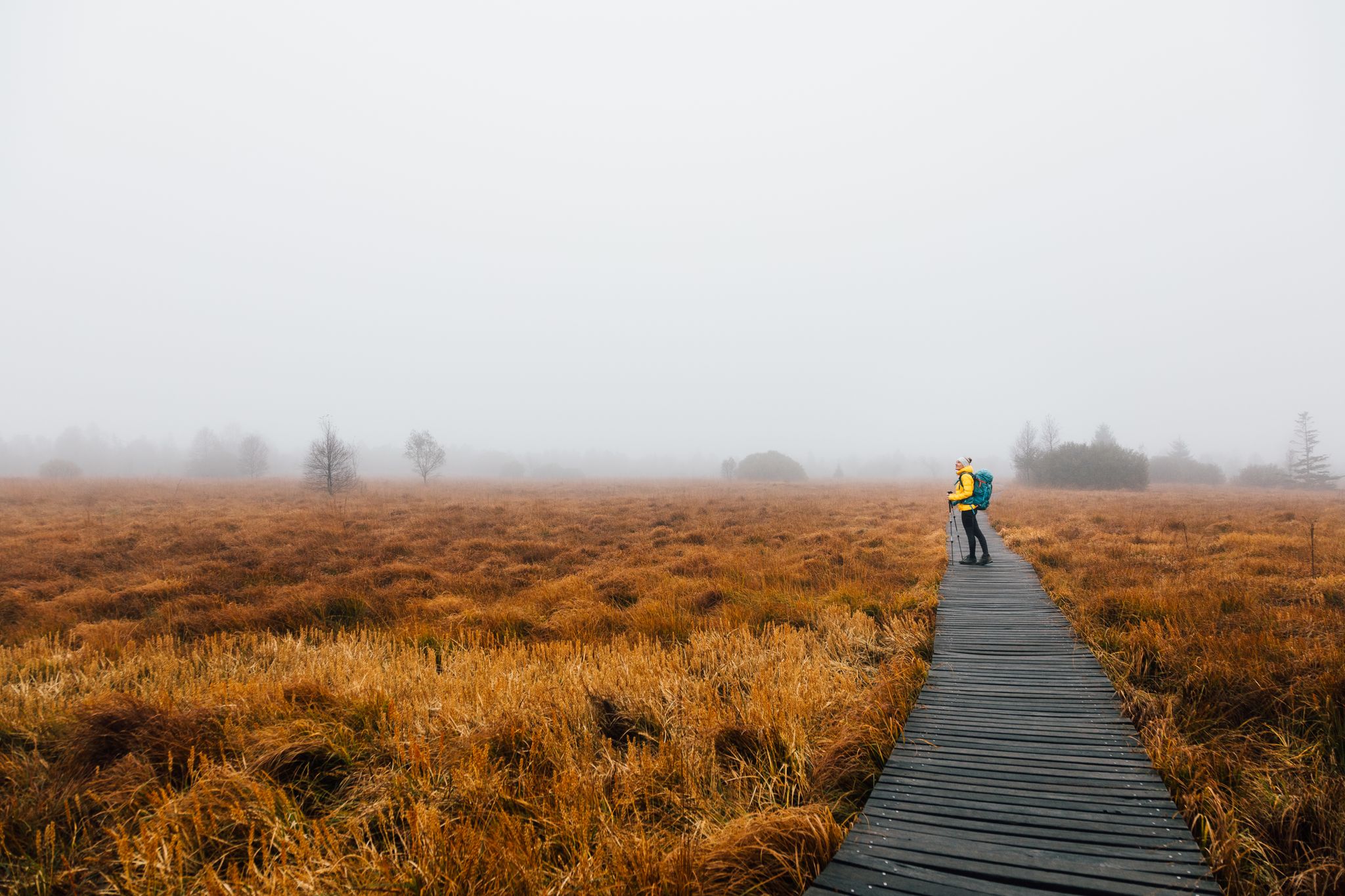
High moor to fairytale forest – three autumn days on the Venntrilogie
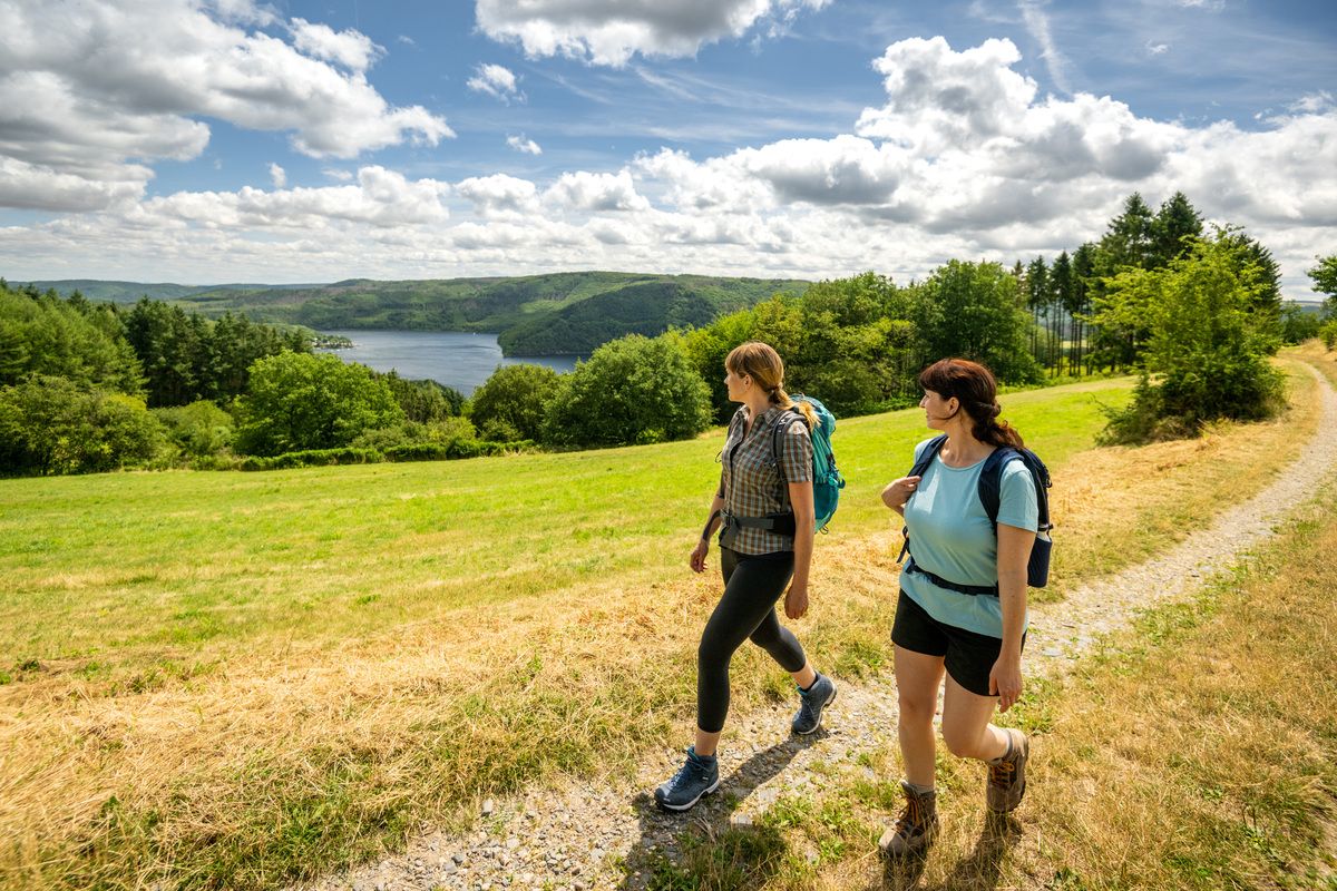
Shaped by rock and water – hikes in the Rureifel region
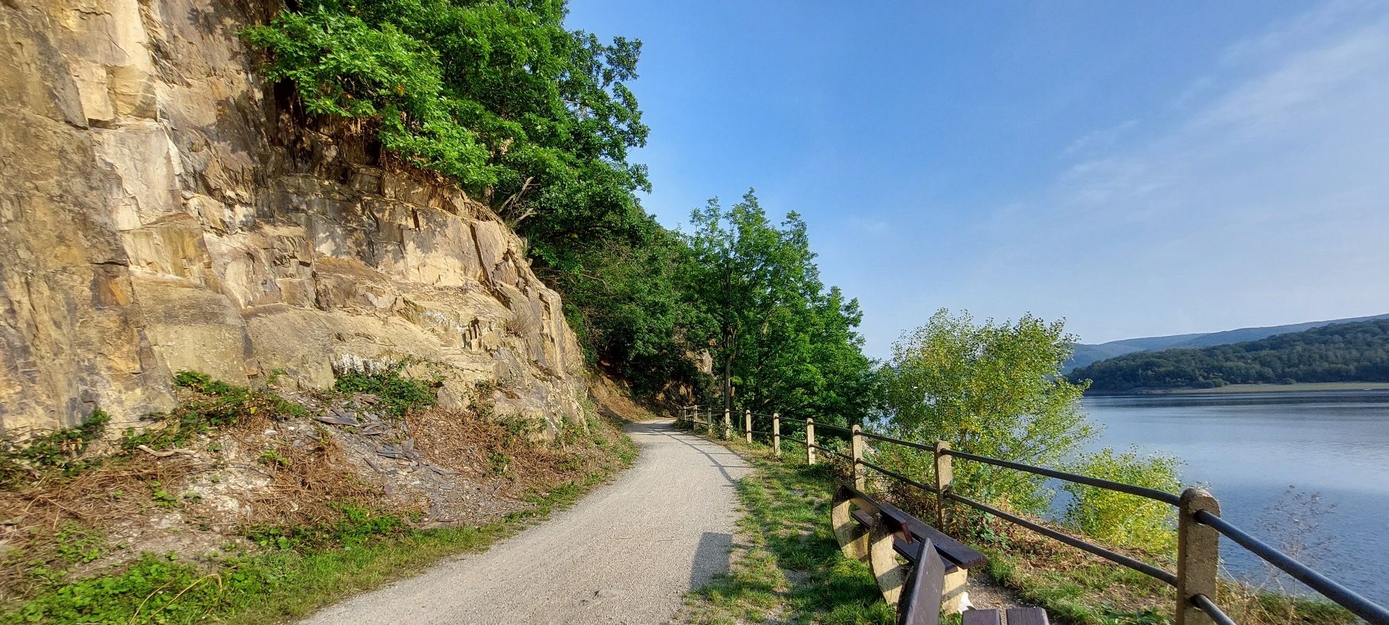
Head into wild nature with the Aachener Verkehrsverbund
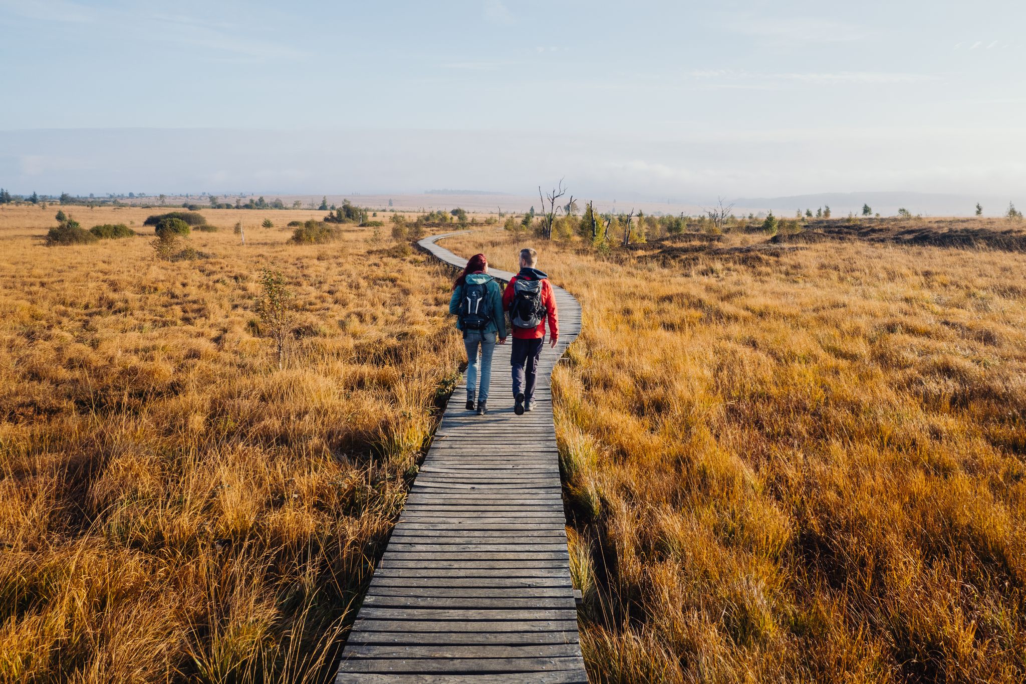
Venntrilogie – the premium hiking experience in East Belgium
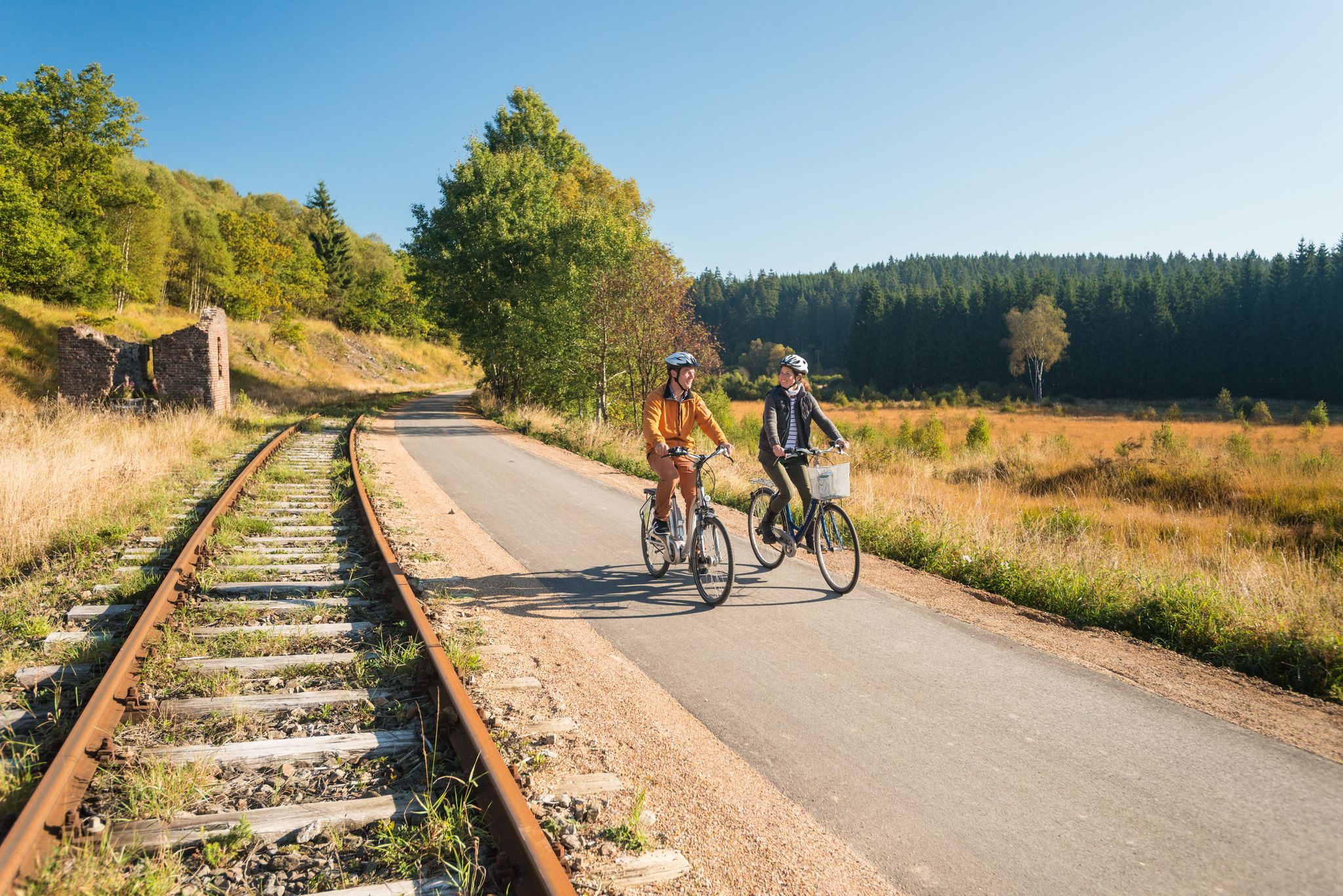
Boundless cycling pleasure on Belgium’s Vennbahn Cycle Route
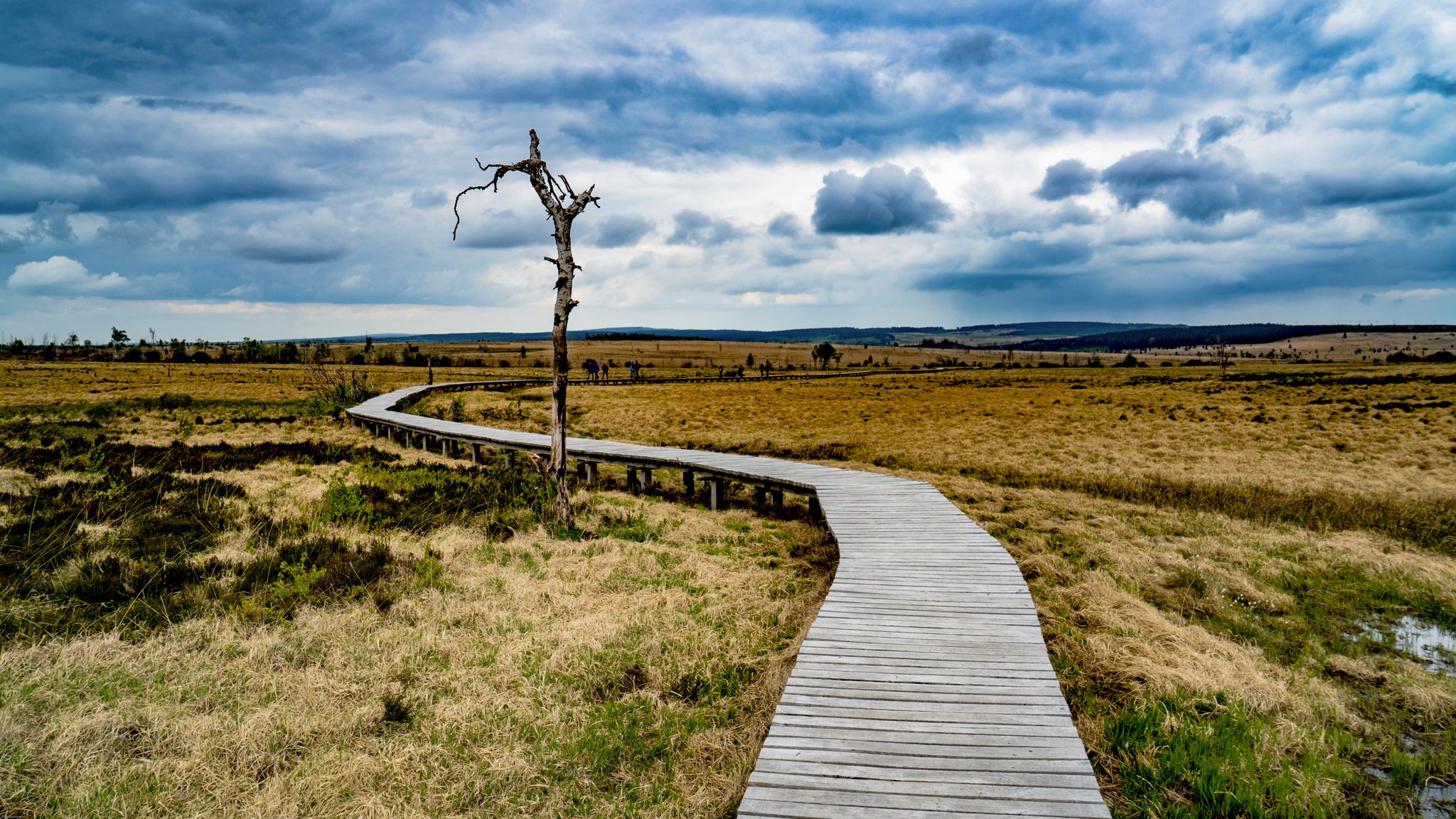
Leisure Tours on enchanted paths – hiking in East Belgium
Other adventures around Eupen


Tips from the Community

The highest point in the Netherlands coincides with the three-country point and is an important tourist attraction.
21
0

As early as the late Middle Ages, the border of the former Aachen Empire, fortified with the Aachen Moat, ran from south to north across the ridge of the Vaalserberg. From 1839 to 1919, the Vaalserberg, with the disputed area of Neutral Moresnet as the fourth country, was even a four-country corner (Vierlandenpunt), which is still remembered in the name of the access road on the Dutch side - Viergrenzenweg. During the First World War, from 1915 to 1918, the high-voltage border barrier stretched along the Belgian-Dutch border for a length of 300 kilometers from the then four-country corner on the Vaalserberg to the Belgian North Sea coast near Knokke. The German invasion of Belgium in 1914 via Gemmenich to Diksmuide, which brought much suffering to the Belgian population, is commemorated by a memorial made of compressed war material at the southern tip of the Vaalserberg, called Via Dolorosa.
23
0

With a height of no less than 322.4 meters above NAP, the Vaalserberg is the highest mountain in the Netherlands (with the exception of the mountains in the Caribbean). So you are standing on the roof of the Low Countries! The mountain is not only known for its height, but also for the three country point you will find here; here the borders of the Netherlands, Belgium and Germany meet. In addition, there are plenty of activities for young and old on and around the top, so hang out here for a while.
15
1

Built in 1923, this hill marks the highest point in Belgium (Botrange signal - 694 meters). At six meters high, it also allows visitors to reach the symbolic altitude of 700 meters.
18
2

The Dreiländerpunkt is probably the most frequented area at the Dreiländereck for "selfies" or the like. If you don't like tourist hype of this kind, but still want to take a photo here without umpteen other people being on it, you should come here as early as possible in the morning and not at the weekend or during the holidays...
22
0

The Dreiländerpunkt consists of a stone on which the country abbreviations are written. Lines on the ground indicate the angle at which each country extends.
25
0
The Vaalserberg is marketed accordingly and many people follow the call. Highest point in the Netherlands, steep climbs, monuments, observation tower, gastronomy and much more.
20
0

The botrange is 694.24 m O.P. the highest elevation in Belgium and is located in the High Fens. Baltia Hill (named after Belgian Lieutenant-General and Governor-General for the Eastern Cantons, Baron Herman Baltia) on the Botrange was built to raise Belgium's highest point to 700m. From 1815 to 1920 the border with Belgium was further north at Baraque Michel. At that time, the Botrange belonged to Prussia and the Rhine Province. On Prussian maps its height is given as 692 m, 2 m less than Belgian height figures. This results from the fact that the Prussians derived their height information from the Amsterdam level, while Belgium derived it from a level near Ostend. When the area was taken over by the Belgians, the Belgian government had this area re-measured (according to Belgian standards and elevation network information). With the help of this measured "rock hill" as a reference point, its coordinates and exact height of 700 m O.P. measured the country. In Prussian times, Baraque Michel was the highest point in Belgium.
74
4
Frequently Asked Questions
What are the most notable mountain peaks and elevated points around Eupen?
The Eupen region, situated at the gateway to the High Fens, offers several significant elevated points. The most prominent is Signal de Botrange, which holds the distinction of being the highest point in Belgium at 694 meters. Other popular spots include Vaalserberg Three-Country Point, where Belgium, Germany, and the Netherlands meet, and Baltia Hill – Highest Point of Belgium, an artificial mound near Signal de Botrange that allows visitors to reach a symbolic 700 meters.
Are there family-friendly mountain peaks or elevated spots to visit near Eupen?
Yes, several spots are great for families. The Vaalserberg Three-Country Point offers an observation tower, a labyrinth, and restaurants, making it an engaging destination for all ages. Baltia Hill – Highest Point of Belgium is also considered family-friendly due to its easy accessibility and the unique experience of standing at Belgium's highest point.
What kind of natural features can I expect to see around the mountain peaks near Eupen?
The region is characterized by its unique bog and moorland landscape, especially within the High Fens nature reserve. You'll encounter high-altitude plateaus, raised bogs, low hills, and extensive forests. The area around Signal de Botrange is known for its deep peat layers and rare plant species, offering a distinct natural beauty almost unique in Europe.
What historical or cultural sites are associated with the elevated points in the Eupen region?
The Vaalserberg Three-Country Point is a significant historical marker, having once been a four-country point with Neutral Moresnet. Baltia Hill itself is a man-made monument built in 1923, named after Lieutenant General Baron Herman Baltia. Additionally, Baraque Michel, a historic hostel near the High Fens, dates back to 1811/1812 and has a rich history of providing shelter to travelers.
What outdoor activities can I do near these mountain peaks?
The region around Eupen and its elevated points is excellent for various outdoor activities. You can find numerous routes for cycling, running, and mountain biking. For instance, there are cycling routes like 'From the Weser Dam to the Vennbahn' and 'Ovelo - along the Weser through the Hertogenwald' available in the Cycling around Eupen guide. Running enthusiasts can explore trails like 'Around Lake Eupen' from the Running Trails around Eupen guide, and mountain bikers have options like the 'Eupen MTB Trails' in the MTB Trails around Eupen guide.
Are there hiking trails near the mountain peaks around Eupen?
Yes, the High Fens, including the area around Signal de Botrange, is a paradise for hikers. You'll find extensive hikes year-round, with signposted routes and boardwalks guiding you through the unique natural environment. The ascent to Ehrensteinley Viewpoint, for example, offers a picturesque forest path leading to panoramic views over the Eifel forests.
What is the best time to visit the mountain peaks and High Fens area near Eupen?
The High Fens region is suitable for visits year-round. In warmer months, it's ideal for hiking, cycling, and exploring the unique moorland. During winter, the area experiences significant snowfall, transforming into a winter wonderland with prepared cross-country skiing trails, offering a different kind of outdoor experience.
Are there places to eat or stay near the mountain peaks?
Yes, for example, the Vaalserberg Three-Country Point has restaurants. Baraque Michel, a historic hostel, also offers restaurant facilities and parking. Eupen itself serves as an excellent base with various accommodation and dining options for exploring the surrounding elevated areas.
What makes the <a href="https://www.komoot.com/highlight/72847" target="_blank" rel="noopener">Ehrensteinley Viewpoint</a> a popular spot?
The Ehrensteinley Viewpoint is popular for its fantastic panoramic views over the forests of the Eifel. The short, picturesque ascent through a forest over stony paths makes the reward of the view even more satisfying for hikers.
Can I reach a symbolic 700 meters altitude in Belgium?
Yes, while the natural highest point of Belgium, Signal de Botrange, is 694 meters, a 6-meter high structure called Baltia Hill – Highest Point of Belgium was built in 1923, allowing visitors to symbolically reach an altitude of 700 meters above sea level.
What unique aspects does the <a href="https://www.komoot.com/highlight/2658291" target="_blank" rel="noopener">Three-Country Point and the Highest Point of the Netherlands (Vaalserberg)</a> offer?
This location is unique as it's where the borders of the Netherlands, Belgium, and Germany meet. It's also the highest point in the Netherlands at 323 meters. Beyond its geographical significance, it offers an observation tower, a labyrinth, and various activities, making it a popular tourist attraction.
Most popular routes around Eupen
Most popular attractions around Eupen

Get inspired with the komoot mobile app


Explore more
See even more amazing summits around Eupen with these guides:
