The best road cycling routes in Verbano-Cusio-Ossola
4.6
(1044)
27,338
riders
226
rides
Road cycling routes in Verbano-Cusio-Ossola traverse a diverse landscape characterized by the towering Alps, picturesque valleys, and prominent lakes such as Lake Maggiore and Lake Orta. The region, bordering Switzerland, offers varied terrain from challenging mountain climbs to scenic routes along waterways. This area provides a blend of natural features, including high peaks, deep valleys, and extensive water bodies, making it well-suited for road cycling.
Best road cycling routes in Verbano-Cusio-Ossola
- The most popular road cycling route is Domodossola, Lago Maggiore e Valle Cannobina − loop tour, a 66.2 miles (106.6 km) trail that takes 5 hours to complete. This difficult route offers extensive views of Lake Maggiore and the Cannobina Valley.
- Another top favourite among local road cyclists is Toce River and Lake Mergozzo Loop from Domodossola, a moderate 44.9 miles (72.2 km) path. This route follows the Toce River and circles Lake Mergozzo, providing scenic views of the water and surrounding vegetation.
- Local road cyclists also love the Along the Centovalli, a 77.5 miles (124.7 km) trail leading through the Centovalli, often completed in about 5 hours 50 minutes.
- Road cycling in Verbano-Cusio-Ossola is defined by alpine ascents, serene lake shores, and deep valleys. The network offers options for various ability levels, from moderate lakeside loops to difficult mountain climbs.
- The routes in Verbano-Cusio-Ossola are highly rated by the komoot community with an average score of 4.6 stars from more than 800 reviews. More than 25,000 road cyclists have used komoot to explore Verbano-Cusio-Ossola's varied terrain.
Last updated: August 30, 2026
4.3
(43)
1,206
riders
107km
04:57
1,260m
1,260m
Hard road ride. Very good fitness required. Mostly well-paved surfaces and easy to ride.
4.4
(37)
748
riders
72.2km
02:59
370m
370m
Cycle a moderate 44.9-mile (72.2 km) loop from Domodossola to Mergozzo, enjoying river views, historic towns, and Lake Mergozzo.

Sign up for free
4.9
(18)
572
riders
125km
05:51
1,520m
1,520m
Hard road ride. Very good fitness required. Mostly well-paved surfaces and easy to ride.
4.6
(39)
608
riders
48.9km
02:41
1,030m
1,030m
Embark on a challenging road cycling adventure with the Valle Cannobina - Passo Marco Pantani Climb, a difficult route spanning 30.4 miles (48.9 km). You will ascend a significant 3378 feet (1030 metres) over an estimated 2 hours and 41 minutes, pushing your limits through a wild valley. As you pedal, you will pass through charming, picturesque villages, enjoying a peaceful atmosphere away from the lakefront. The route offers diverse landscapes and culminates at the Marco Pantani Pass, where a monument honors the famous cyclist.
When planning your ride, be aware that traffic is generally low, making for a pleasant experience. You should note a tunnel that prohibits bikes; however, a small, well-lit bike path provides a safe bypass. There are numerous water points available along the way, which are especially useful during warmer months, including four fountains near Traffiume. This climb is best suited for cyclists with very good fitness levels, ready for a sustained effort.
This route takes you deep into the Val Grande National Park, offering a unique perspective of the region's natural beauty. The journey through Valle Cannobina provides stunning views and a sense of tranquility. The Marco Pantani Pass itself is a notable landmark, not just for its elevation but also for its tribute to a cycling legend, adding a layer of historical significance to your ride.
4.9
(150)
3,722
riders
75.6km
04:10
1,570m
1,570m
Hard road ride. Very good fitness required. Mostly well-paved surfaces and easy to ride.
4.8
(17)
403
riders
40.3km
02:42
1,330m
1,330m
Embark on the Mottarone Climb from Stresa, a challenging road cycling route that takes you through serene coniferous forests. This difficult ascent covers 25.1 miles (40.3 km) and demands a significant 4353 feet (1327 metres) of elevation gain. You can expect to complete this rewarding journey in about 2 hours and 42 minutes, culminating in panoramic views from the summit.
When planning your ride, be aware that the final 8 kilometers of the climb are on a private Borromean road. This section offers excellent surfacing and reduced car traffic, making for a more pleasant ascent. Cyclists can pass through this part of the route for free, while cars are required to pay a toll.
As you climb, you will be treated to picturesque views over Lake Maggiore and its islands. The summit of Mottarone, standing at 1438 metres above sea level, provides a unique vantage point where you can see seven different lakes, including Lake Maggiore and Lake Orta, alongside the majestic Italian and Swiss Alps.
4.6
(11)
335
riders
34.2km
01:52
650m
650m
Moderate road ride. Good fitness required. Some segments of this route may be unpaved and difficult to ride.
4.6
(8)
228
riders
93.6km
04:59
1,820m
1,820m
This difficult 58.2-mile road cycling route from Domodossola climbs 5975 feet to the impressive Cascate del Toce.
4.6
(8)
111
riders
58.8km
03:31
1,530m
1,530m
This difficult racebike ring tour takes you on a challenging journey of 36.5 miles (58.8 km) with a significant 5024 feet (1531 metres) of elevation gain, typically taking around 3 hours and 30 minutes to complete. You will experience continuous ascents and descents through the hilly Lake Orta area, offering stunning views of the lake itself, especially near the charming town of Orta San Giulio. The route features primarily asphalt roads, but be prepared for some unpaved segments where you might need to push your bike. The highlight is the demanding climb to Passo della Colma, where you'll encounter gradients up to 16% on your way to the summit. Enjoy the smooth asphalt on the hairpin bends as you ascend, taking in the lush, mountain-framed scenery and picturesque villages like Brolo and Nonio.
To tackle this hard road ride, you should possess very good fitness due to the sustained climbs and overall length. While the research does not specify a particular trailhead or parking, the route begins and ends near Lake Orta, suggesting access points around the lake. Always check local conditions before you go, especially regarding any unpaved sections that might be more challenging after rain. The diverse terrain makes it a rewarding experience for well-trained cyclists.
This route is notable for its inclusion of the historic Colma di Arola Pass, which was featured in the 19th stage of the 104th Giro d'Italia on May 28, 2021. The Passo della Colma itself connects the Cusio region with Valsesia, offering a significant geographical and cycling landmark. Beyond the challenging climbs, you will pass through charming villages like Cesara and enjoy panoramic viewpoints, including the climb to Madonna del Sasso, making this a memorable ride through Northern Italy's beautiful landscape.
4.1
(15)
111
riders
30.1km
01:12
160m
160m
Easy road ride. Great for any fitness level. Some segments of this route may be unpaved and difficult to ride.
Get access to more routes and recommendations from other explorers.
Sign up for free
Already have an account?
Our route recommendations are based on thousands of hikes, rides, and runs completed by other people on komoot.
Start today with a free account
Your next adventure awaits.
Login or Signup
Popular around Verbano-Cusio-Ossola
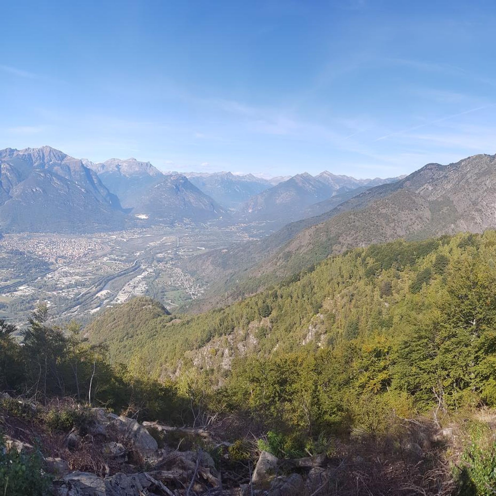
Road Cycling Routes around Beura-Cardezza
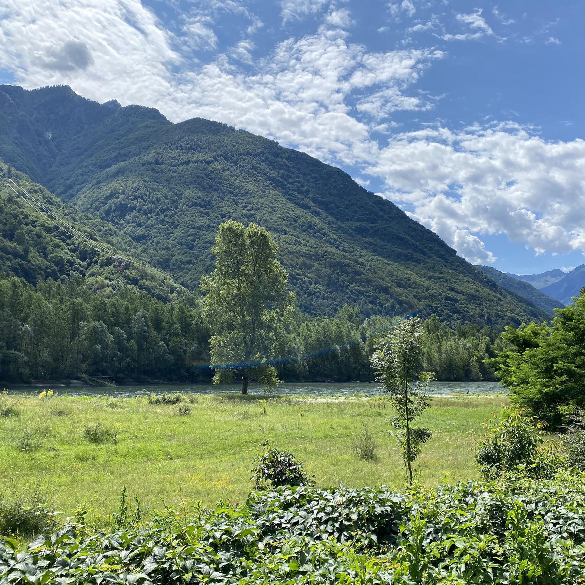
Road Cycling Routes around Villadossola
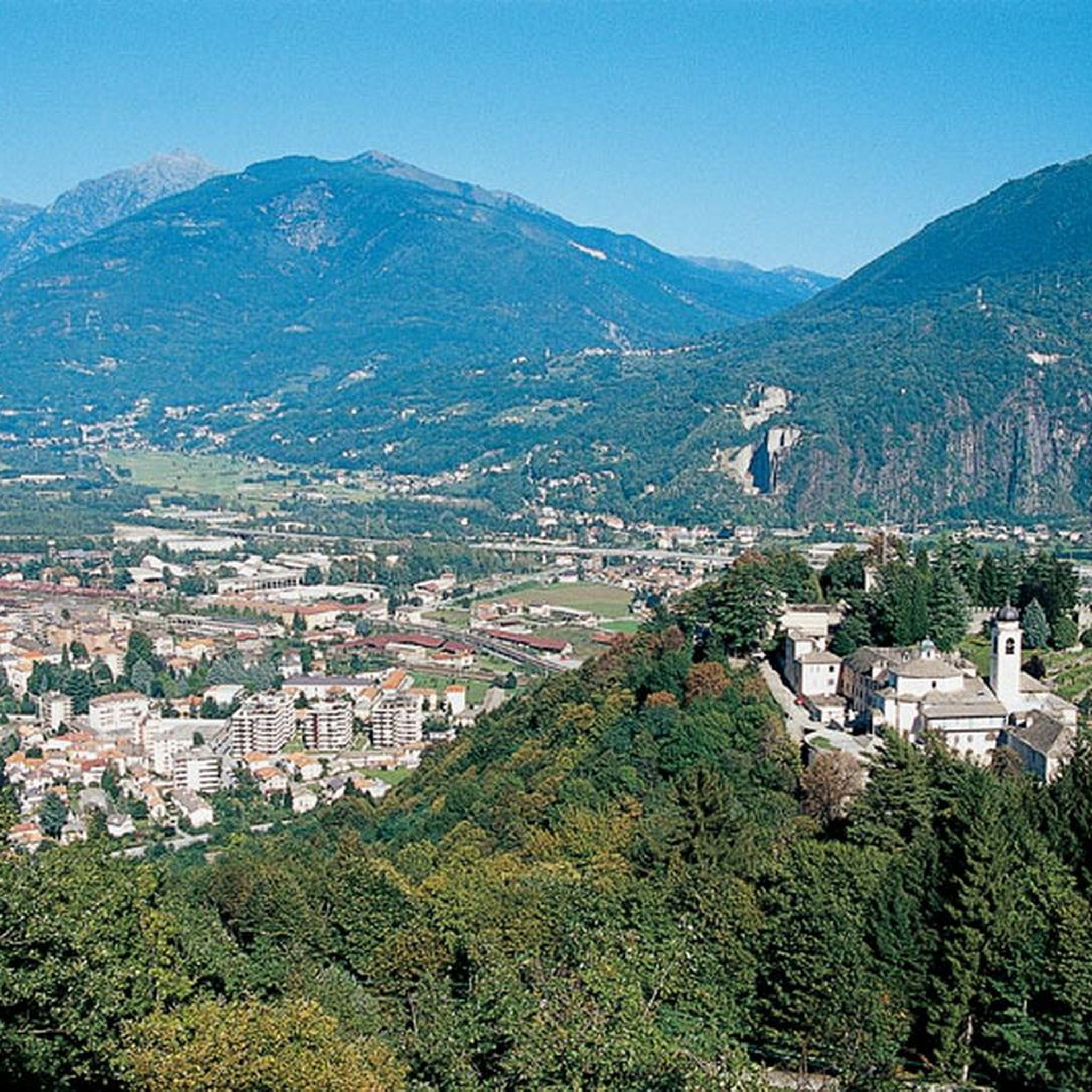
Road Cycling Routes around Domodossola
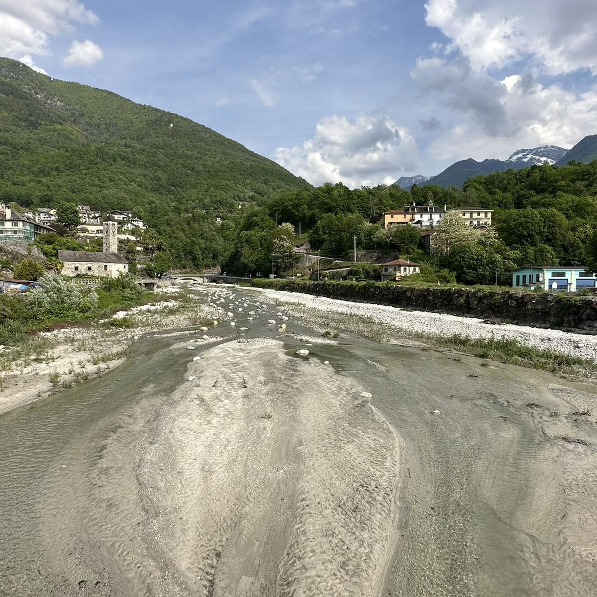
Road Cycling Routes around Trontano
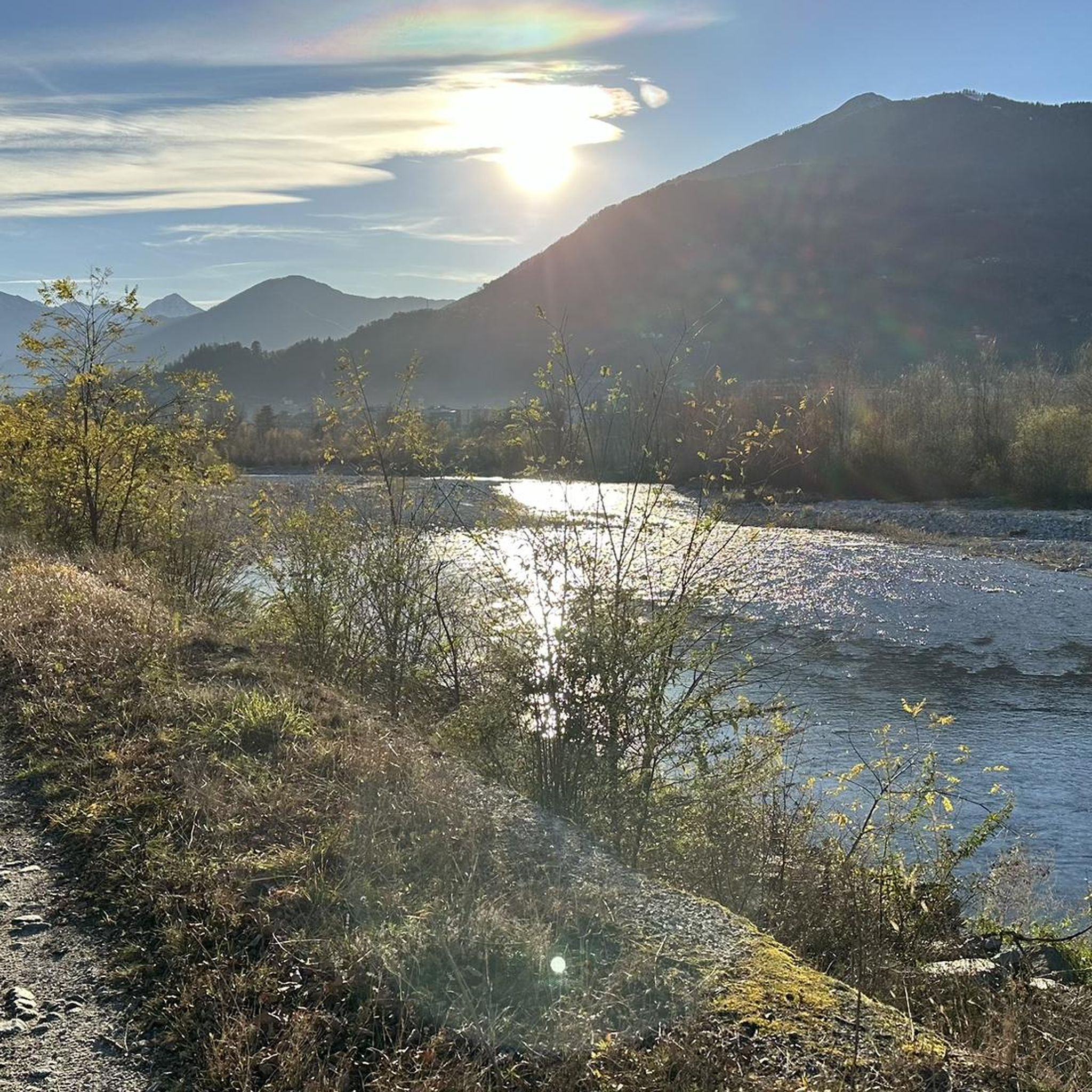
Road Cycling Routes around Masera
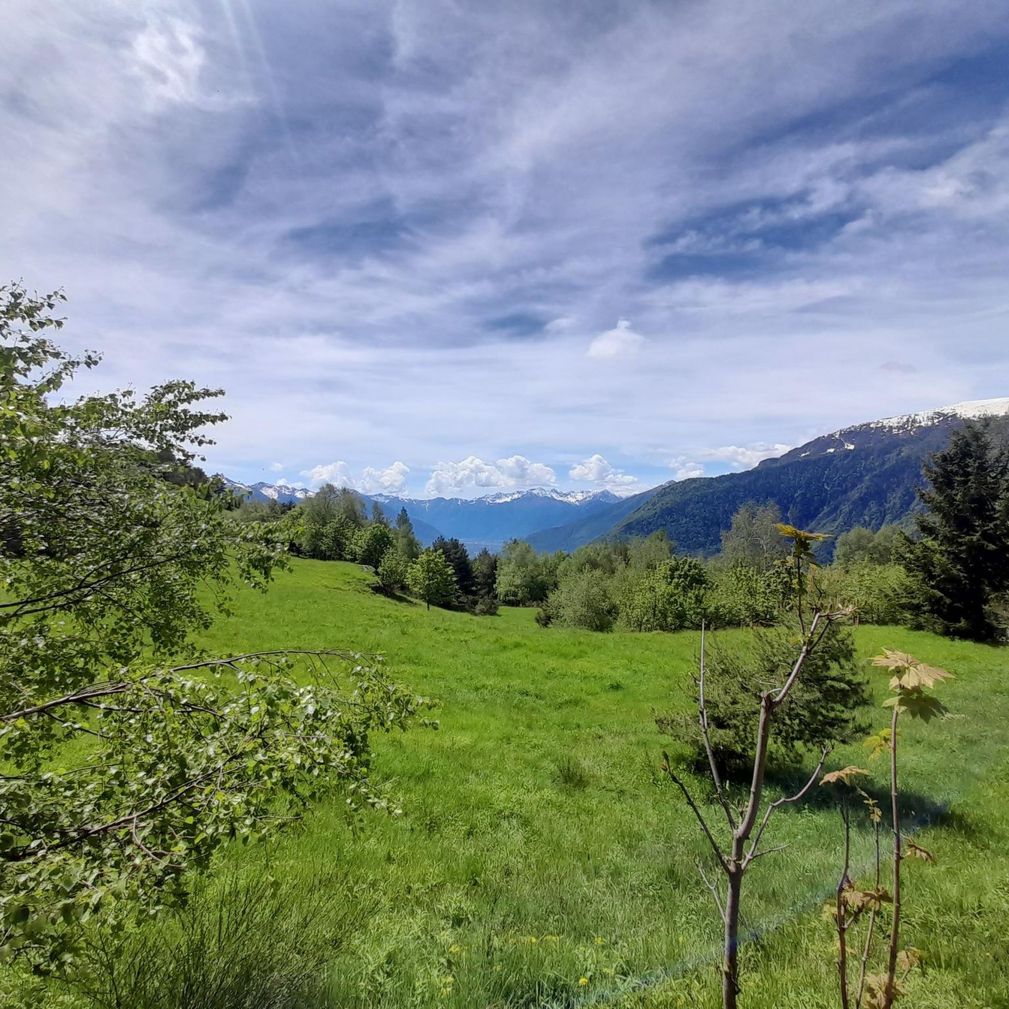
Road Cycling Routes around Crevoladossola
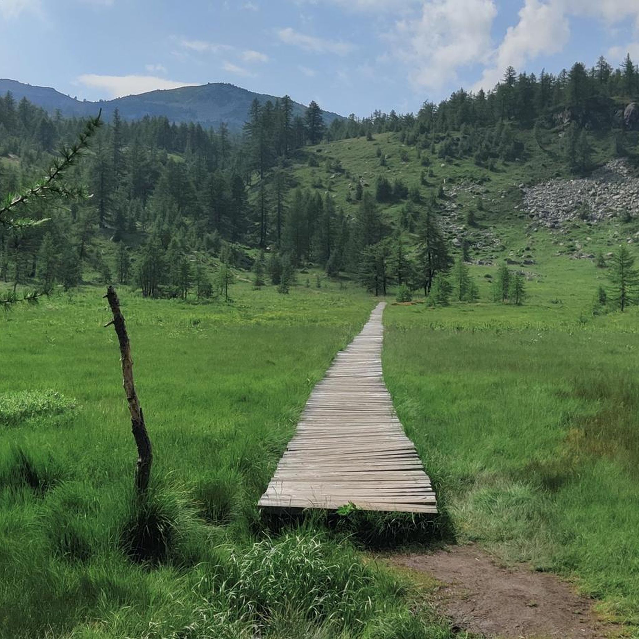
Road Cycling Routes around Bognanco
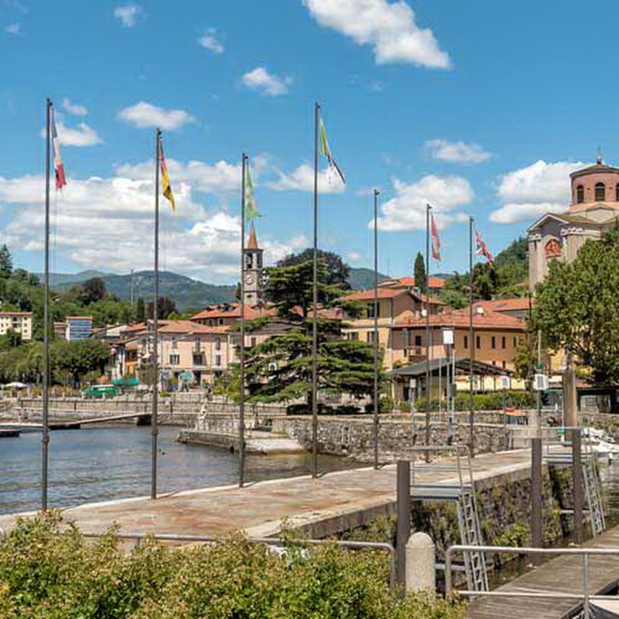
Road Cycling Routes around Lake Maggiore
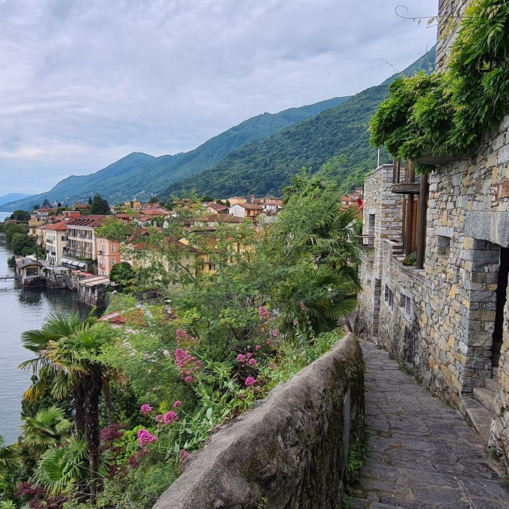
Road Cycling Routes around Cannero Riviera
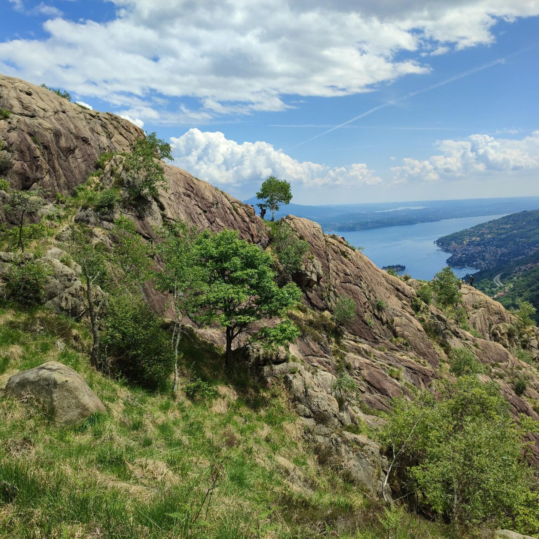
Road Cycling Routes in Vergante
Other adventures in Verbano-Cusio-Ossola


Tips from the Community

Wonderful to ride through the Valley Cannobbina - grab a coffee in Finero
0
0

Awesome alternative to the road along Lake Maggiore, a small detour but worth it
1
0

Beautiful route—easy to drive to the basilica in Re. Warning: from about 3 p.m. onward, there's annoying rush hour traffic uphill from car commuters from Italy.
1
0

A beautiful tour through the Val Cannobina to the Passo Pantani. There are several "rest sections" ranging from flat to downhill. It gets a bit steeper towards the end of the pass. A must-do is the continuation via Malesco through the Cento Valli with its many sights, Re and the Ponte Romano, and breathtaking views of the valley and the railway line. Via Ponte Brollo and Ascona, the route then leads back to the lakeside road to Cannobio. I've ridden this route many times in spring and fall, and there was always little traffic. I can't recommend the traffic-free route from Malesco to Domodossola.
2
0

Varallo is a magnificent town; I recommend a stroll through the historic center.
17
0

To be done calmly
0
0

Descent through the Centovalli - fast descent on a well-maintained road.
0
0
Frequently Asked Questions
How many road cycling routes are available in Verbano-Cusio-Ossola?
Verbano-Cusio-Ossola offers nearly 200 road cycling routes, catering to various skill levels. This includes 43 easy routes, 90 moderate routes, and 66 difficult routes, ensuring options for every cyclist.
What kind of terrain can I expect on road cycling routes in Verbano-Cusio-Ossola?
The region features diverse terrain, from challenging alpine ascents in the mountains to serene rides along the shores of lakes like Maggiore and Orta, and through deep valleys. You'll find routes with significant elevation gains, as well as more gentle lakeside loops.
Are there any family-friendly road cycling routes in Verbano-Cusio-Ossola?
Yes, for families or those seeking less strenuous rides, the region offers routes like the Toce Cycle Route, which follows the Toce River. While specific family-friendly road cycling routes are not detailed, the presence of 43 easy routes suggests suitable options for a more relaxed pace, often found along lake shores or valley floors.
What are some notable natural features or landmarks I can see while cycling in Verbano-Cusio-Ossola?
Road cycling routes in Verbano-Cusio-Ossola often pass by stunning natural features and landmarks. You can encounter spectacular waterfalls like the Pescone Waterfall or the Giant's Kettles of the Toce. The region is also known for its prominent lakes, including Lake Maggiore and Lake Orta, and picturesque valleys such as Val Vigezzo and Formazza Valley. Historical sites like Isola Bella Palace and Gardens are also accessible.
Are there any circular road cycling routes in the region?
Yes, Verbano-Cusio-Ossola offers several circular road cycling routes. An example is the Domodossola, Lago Maggiore e Valle Cannobina − loop tour, which provides extensive views of Lake Maggiore. Another popular loop is the Toce River and Lake Mergozzo Loop from Domodossola, offering scenic views of the water and surrounding vegetation.
What is the best time of year for road cycling in Verbano-Cusio-Ossola?
The best time for road cycling in Verbano-Cusio-Ossola is generally from spring through autumn. During these seasons, the weather is more favorable, with milder temperatures and less chance of snow at higher elevations, allowing access to a wider range of routes, including mountain passes and lakeside paths.
What do other road cyclists enjoy most about cycling in Verbano-Cusio-Ossola?
The road cycling experience in Verbano-Cusio-Ossola is highly rated by the komoot community, with an average score of 4.6 stars from over 800 reviews. Cyclists frequently praise the diverse landscapes, from challenging alpine climbs to serene lake shores, and the stunning natural beauty of the region's lakes, valleys, and mountains.
Are there challenging routes for experienced road cyclists?
Absolutely. Verbano-Cusio-Ossola is well-suited for experienced road cyclists seeking a challenge. Routes like the Val Formazza to Cascate del Toce offer significant elevation gain, while the Valle Cannobina - Passo Marco Pantani Climb is another demanding option. The region features 66 difficult routes, including climbs like the Mottarone and sections of historical mountain roads.
Can I find routes that explore the lakes of Verbano-Cusio-Ossola?
Yes, many routes highlight the region's prominent lakes. The Domodossola, Lago Maggiore e Valle Cannobina − loop tour offers extensive views of Lake Maggiore. Another option is the Toce River and Lake Mergozzo Loop from Domodossola, which circles Lake Mergozzo, providing scenic waterside views.
Are there any routes that pass through historical areas or offer cultural insights?
Yes, the region's history is woven into its landscape. Routes like Along the Centovalli take you through picturesque valleys with rich heritage. Additionally, historical mountain routes such as the Simplon Road and sections of the Cadorna Line offer unique cycling experiences with breathtaking vistas and a sense of the past.
What are the options for parking or public transport when planning a road cycling trip?
While specific parking details for each route are not provided, major towns like Domodossola and Verbania, which serve as starting points for many routes, typically offer parking facilities. The region also has public transport options, including train services that connect some areas, which can be useful for reaching starting points or returning from longer routes. It's advisable to check local transport schedules and parking availability for your chosen starting location.
Most popular routes in Verbano-Cusio-Ossola
Most popular attractions in Verbano-Cusio-Ossola

Get inspired with the komoot mobile app


Didn’t find what you were looking for?
Check out more Road cycling routes throughout Verbano-Cusio-Ossola below and find the perfect route in your destination.
Explore more
Browse the best Road cycling routes in other regions.
