The best walks and hikes around Bad Zell
4.6
(417)
2,371
hikers
86
hikes
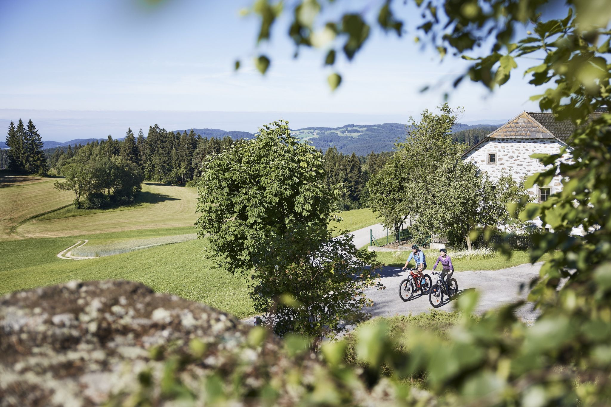
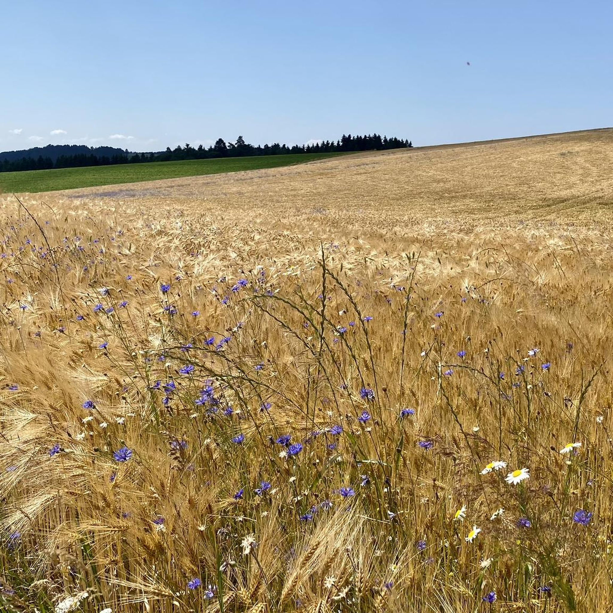
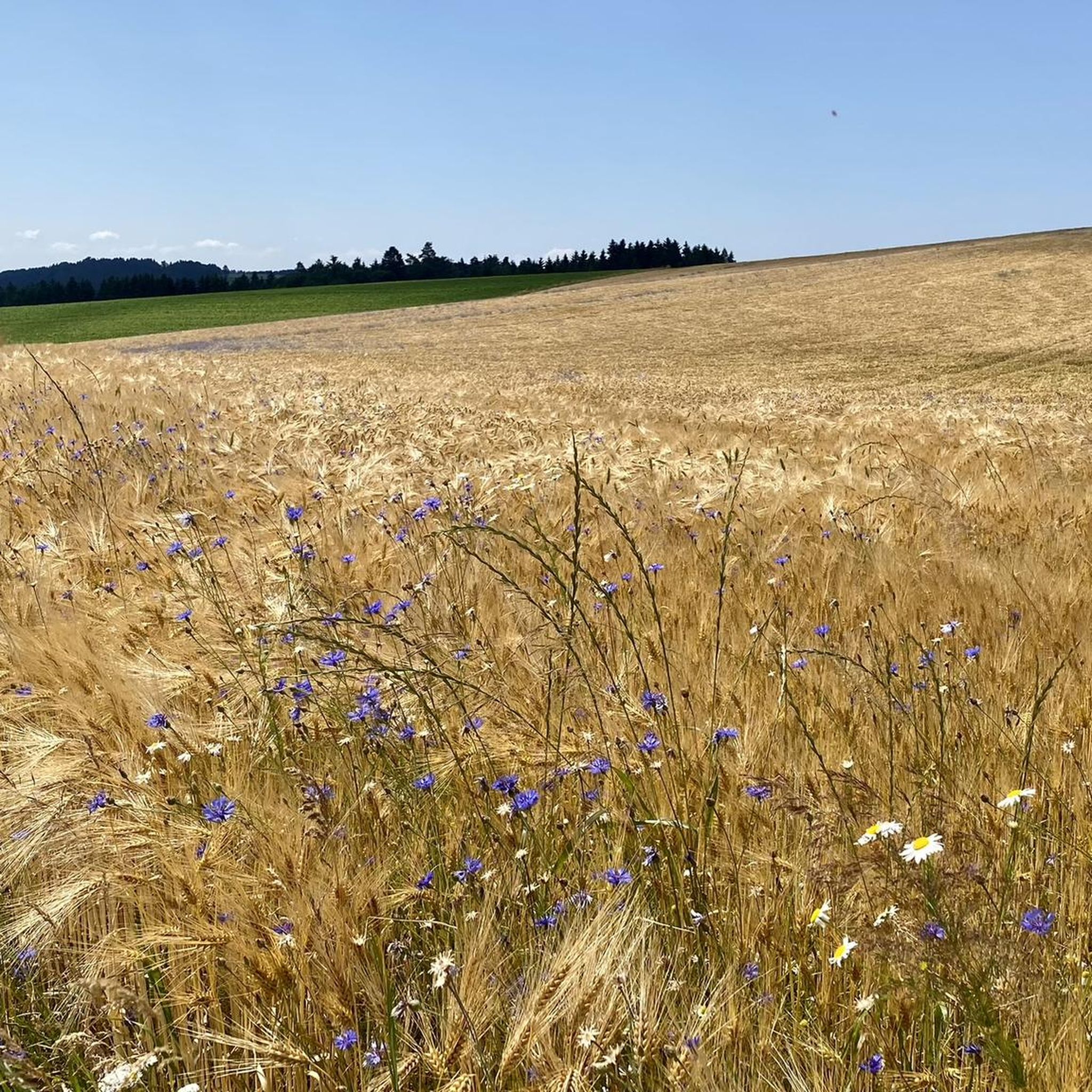
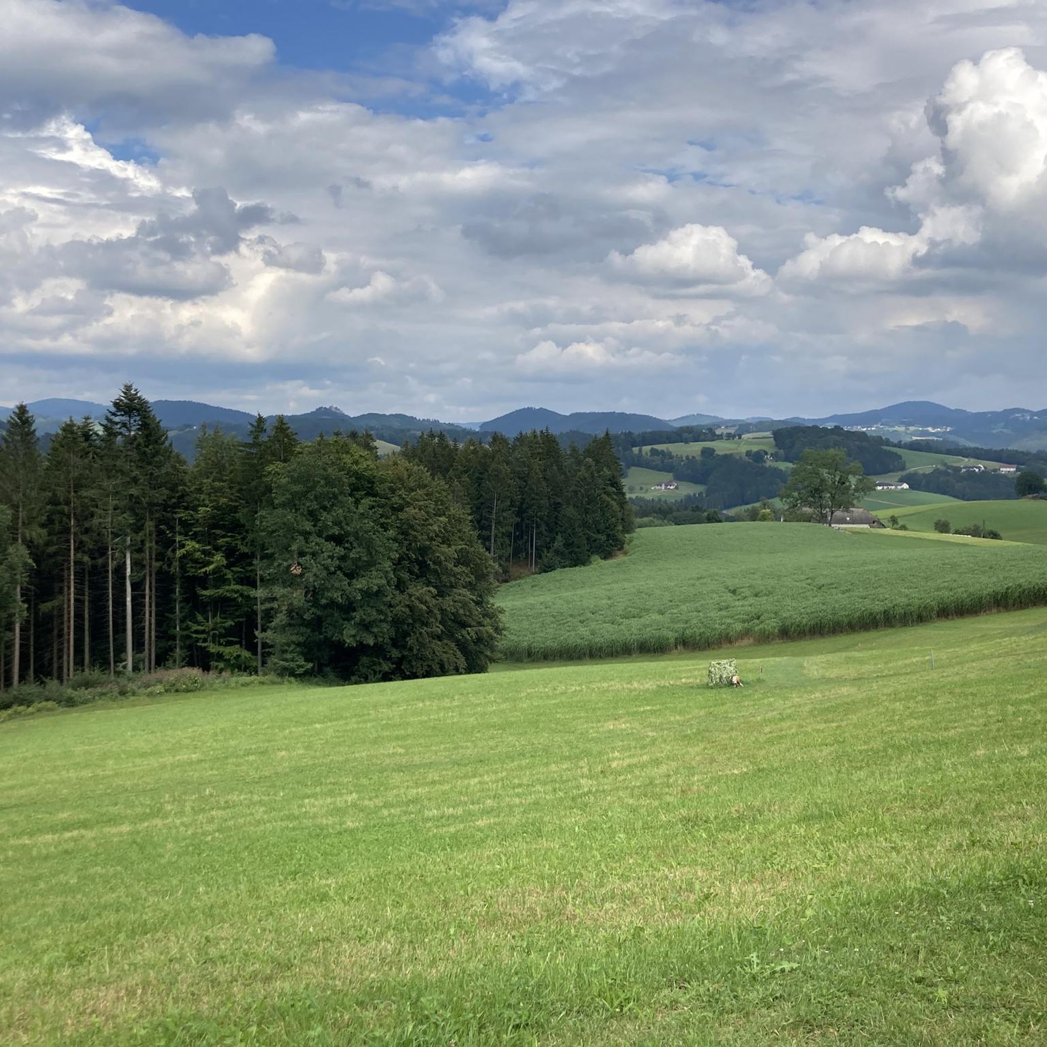
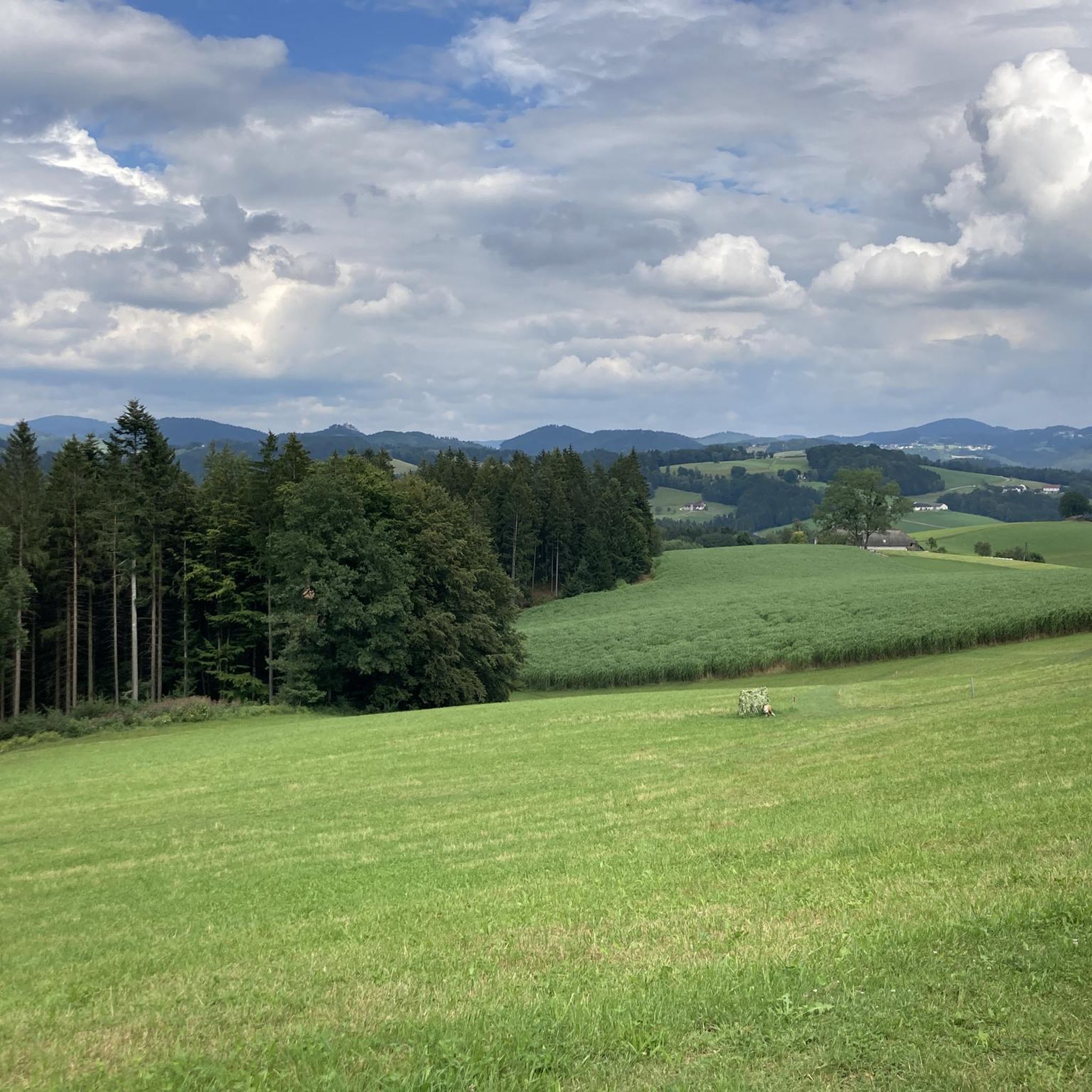
Hiking around Bad Zell offers a diverse landscape characterized by rolling hills, dense woodlands, and open fields. The region features numerous viewpoints overlooking the surrounding countryside, including the historic market town of Bad Zell itself. Trails often follow streams and lead to natural rock formations or chapels, providing varied terrain for outdoor activities.
Best hiking trails around Bad Zell
- The most popular hiking route is View of Tragwein – View of Bad Zell loop from Bad Zell, a 5.4…
Last updated: October 5, 2026
4.7
(48)
247
hikers
8.72km
02:32
230m
230m
Moderate hike. Good fitness required. Easily-accessible paths. Suitable for all skill levels.
4.6
(35)
202
hikers
5.03km
01:27
130m
130m
Easy hike. Great for any fitness level. Easily-accessible paths. Suitable for all skill levels.

4.7
(23)
163
hikers
29.3km
08:43
860m
860m
Hard hike. Very good fitness required. Mostly accessible paths. Sure-footedness required.
4.5
(18)
114
hikers
Moderate hike. Good fitness required. Easily-accessible paths. Suitable for all skill levels.
4.7
(59)
207
hikers
12.8km
03:54
420m
420m
Moderate hike. Good fitness required. Mostly accessible paths. Sure-footedness required.
Get access to more routes and recommendations from other explorers.
Already have an account?
Our route recommendations are based on thousands of hikes, rides, and runs completed by other people on komoot.
Start today with a free account
Your next adventure awaits.

Other adventures around Bad Zell

Tips from the Community

The highlight is unfortunately complete chaos: title and position don't match at all and photos have accumulated here from everywhere 🧐
0
0

The bench is still covered in snow, the longest praline - Duplo 😊 - can be found in the box, but there is no cash register or prices for payment.
0
0
Bauernberger Chapel, owned by the Killinger family, built around 1900, renovated in 2000 - dedicated to St. Mary.
0
0
The ÖAMTC bicycle service station is located at the Hotel Lebensquell Bad Zell; the power outlet is ideal for our e-bikes. Now all that's missing is a bench for my companion to sit and rest.
5
0
The Gottstein threshing machine, manufactured in 1957, was purchased by Franz Schinnerl (born 1913) for 8,000 Austrian schillings from Hitzger, also known as Zehetner, in Hartl, municipality of Schwertberg. The original price was 17,000 schillings. This was a one-man threshing machine with dust extraction and a double grain cleaning system. The grain was mostly threshed as it was brought in from the field and was in use at the Schinnerl farm, also known as Salomon, until 1965. Since then, harvesting has been done exclusively with a combine harvester.
5
0

Air tools and even a power outlet next to the trash can. What more could you want?
0
0

In Allerheiligen there is an incredibly beautiful view of both the Upper and Lower Mühlviertel, as well as the Alpine ridge... Breathtaking!
0
0

A bench invites you to pause and enjoy the wonderful panoramic view.
2
0
Frequently Asked Questions
How many hiking trails are available in Bad Zell?
Bad Zell offers a wide variety of hiking experiences, with over 85 trails to explore. These range from easy strolls to more challenging routes through the region's diverse landscape.
Are there easy hiking trails suitable for beginners or families in Bad Zell?
Yes, Bad Zell has numerous easy hiking trails perfect for beginners or families. Approximately 40 of the available routes are classified as easy. A great option is the Hotel Lebensquell Bad Zell – Bauernberger Chapel Viewpoint loop from Bad Zell, which is an easy 3.1-mile (5.0 km) path featuring gentle ascents through rural landscapes.
What kind of terrain can I expect on hikes around Bad Zell?
Hiking around Bad Zell is characterized by rolling hills, dense woodlands, and open fields. Trails often follow streams and lead to natural rock formations or chapels, providing varied terrain. You'll find paths suitable for various ability levels, from easy strolls to more challenging moderate routes.
Are there any circular hiking routes in Bad Zell?
Many of the trails in Bad Zell are designed as circular routes, allowing you to start and end at the same point. For example, the View of Tragwein – View of Bad Zell loop from Bad Zell is a popular 5.4-mile (8.7 km) circular trail offering panoramic views.
What are some longer hiking options in Bad Zell?
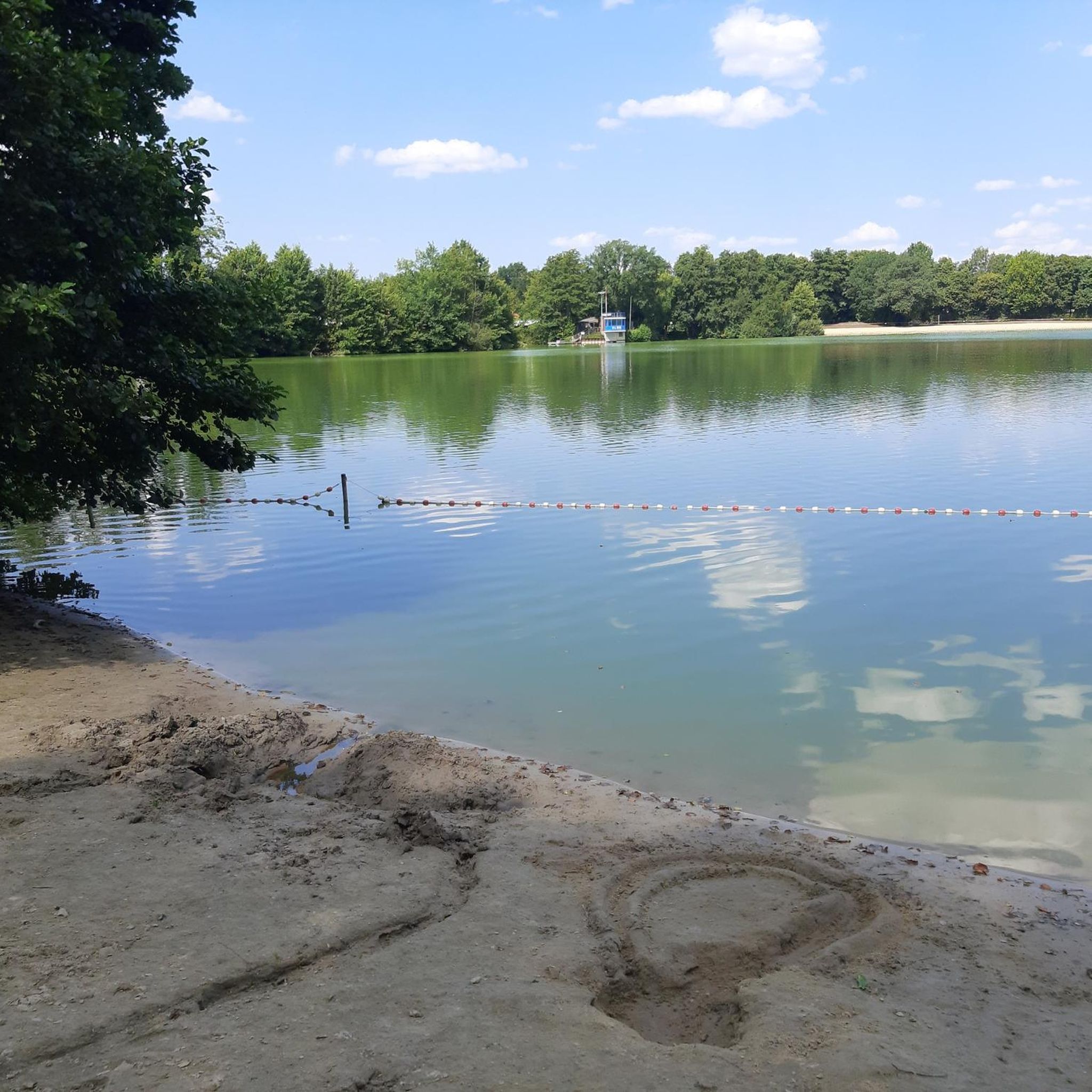
For those seeking a longer adventure, the Rechberg Bathing Lake – Schwammerlstein loop from Bad Zell is a challenging 18.2-mile (29.3 km) route that takes you through forests and past notable natural monuments.
Are there any hikes that pass by waterfalls or natural monuments?
Yes, the region around Bad Zell features several natural highlights. You can find trails that lead to the Schwammerlstein, a unique natural monument, or explore the Silberbach Mini Gorge Waterfalls. The Hotel Lebensquell Bad Zell – Opferstein (Sacrificial Stone) loop from Bad Zell also passes by historical sites and through forests.
What interesting places can I explore near the hiking trails?
Beyond the trails, you can discover several points of interest. Consider visiting the Prandegg Castle Ruins and Tavern for a historical experience, or enjoy the views from the Hoh-Haus at Buchberg Observation Tower. The Braunberg Hut also offers a place to rest and enjoy the surroundings.
What do other hikers say about the trails in Bad Zell?
The trails in Bad Zell are highly regarded by the komoot community, with an average rating of 4.6 stars from over 300 reviews. Hikers often praise the scenic viewpoints, the well-maintained paths, and the peaceful atmosphere of the woodlands and rural landscapes.
Is it possible to hike in Bad Zell during winter?
While many trails are accessible year-round, winter hiking in Bad Zell can be beautiful, especially after snowfall. However, conditions can vary, so it's always advisable to check local weather forecasts and trail conditions before heading out. Some paths might be icy or less maintained during colder months.
Are there any hikes with cafes or places to stop for refreshments?
Many routes in the Bad Zell area pass through or near villages where you can find local cafes or guesthouses. It's common to find opportunities for refreshments, especially in the main town of Bad Zell itself or in smaller hamlets along the way. Planning your route with komoot can help identify such stops.
Where can I find viewpoints on hikes around Bad Zell?
Bad Zell is known for its numerous viewpoints overlooking the surrounding countryside. The View of Tragwein – View of Bad Zell loop offers panoramic vistas. Another excellent spot is the Hoh-Haus at Buchberg Observation Tower, which provides expansive views of the region.
Is there parking available at the trailheads in Bad Zell?
Yes, most popular trailheads and starting points in and around Bad Zell offer designated parking areas. These are often well-marked, especially near the town center or at key access points for longer routes. It's always a good idea to check the specific route details on komoot for parking information.
Most popular routes around Bad Zell
Most popular attractions around Bad Zell

Get inspired with the komoot mobile app


Explore more
Browse the best Hikes in other regions.
