The best walks and hikes in Västerbotten
4.5
(882)
4,684
hikers
268
hikes
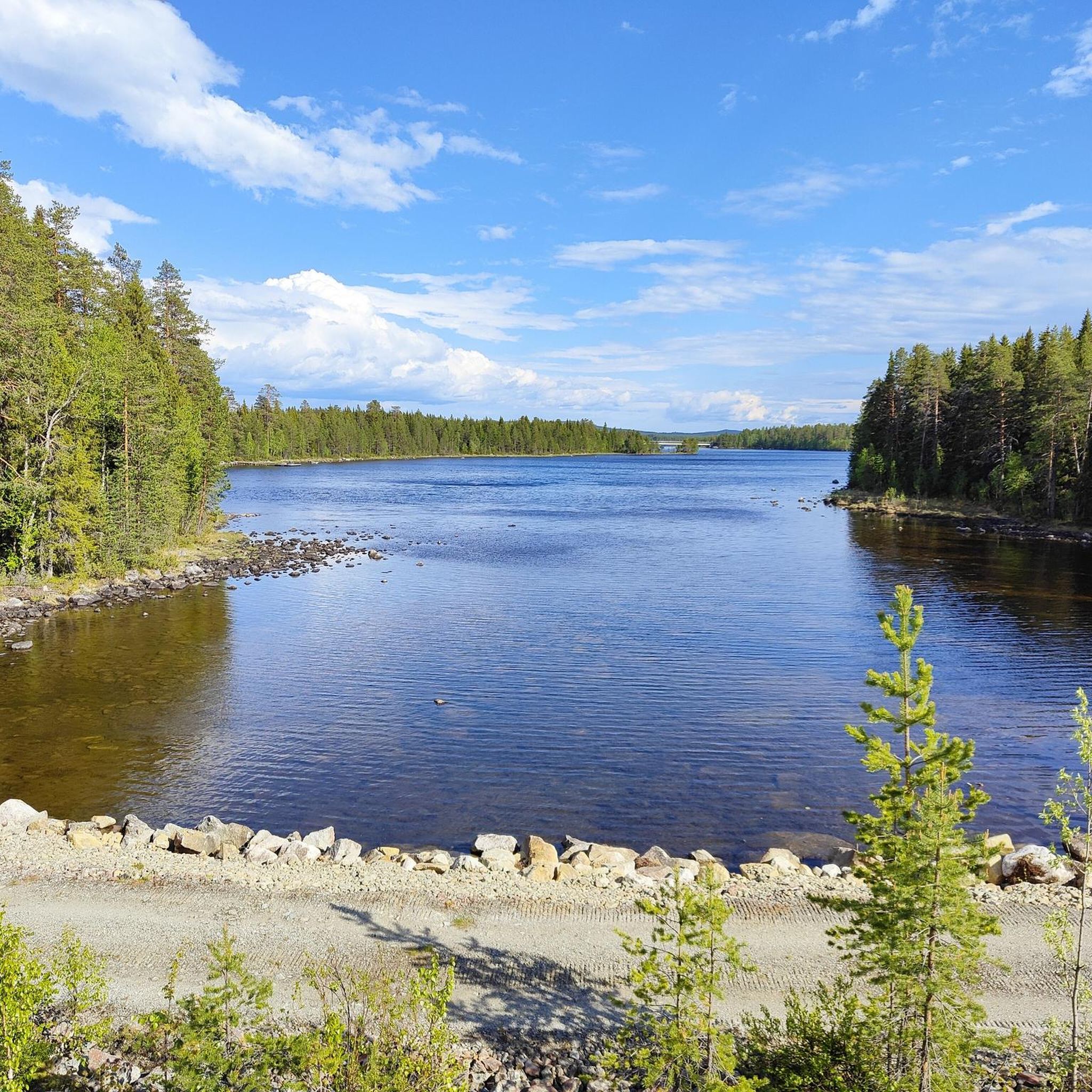
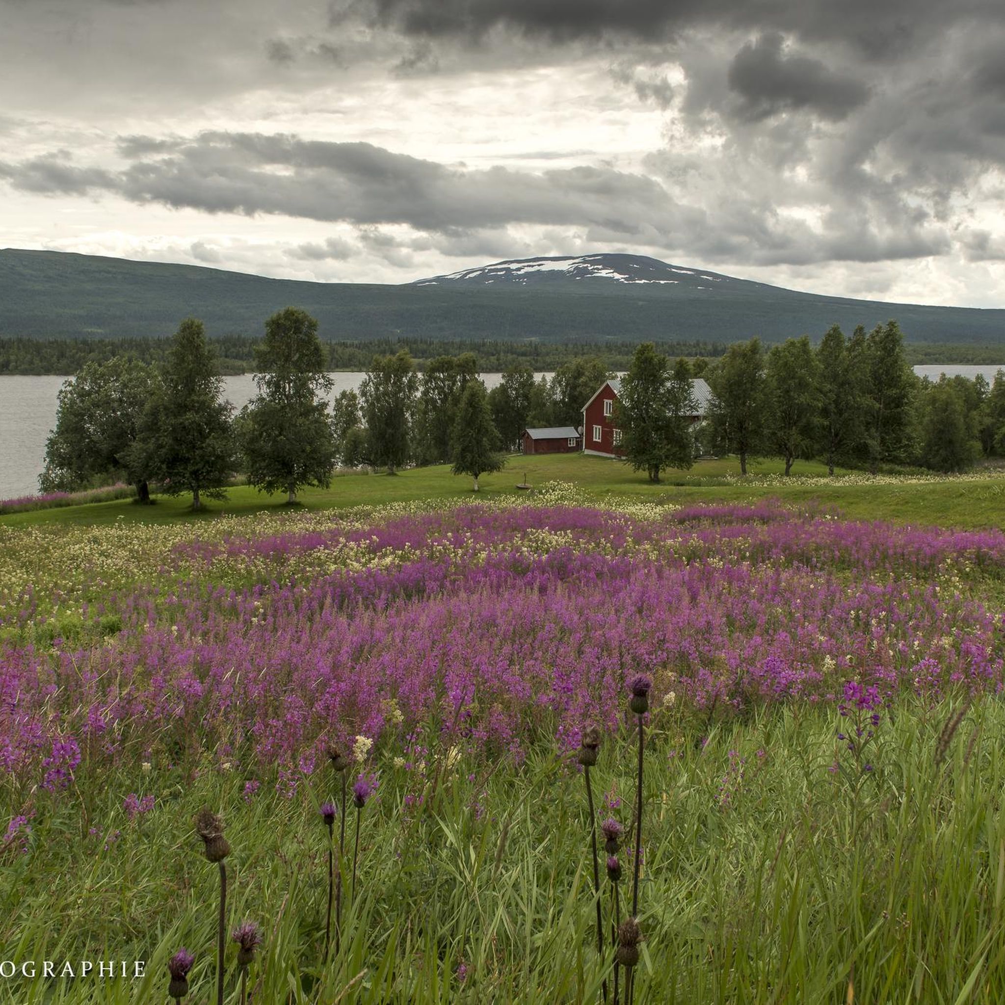
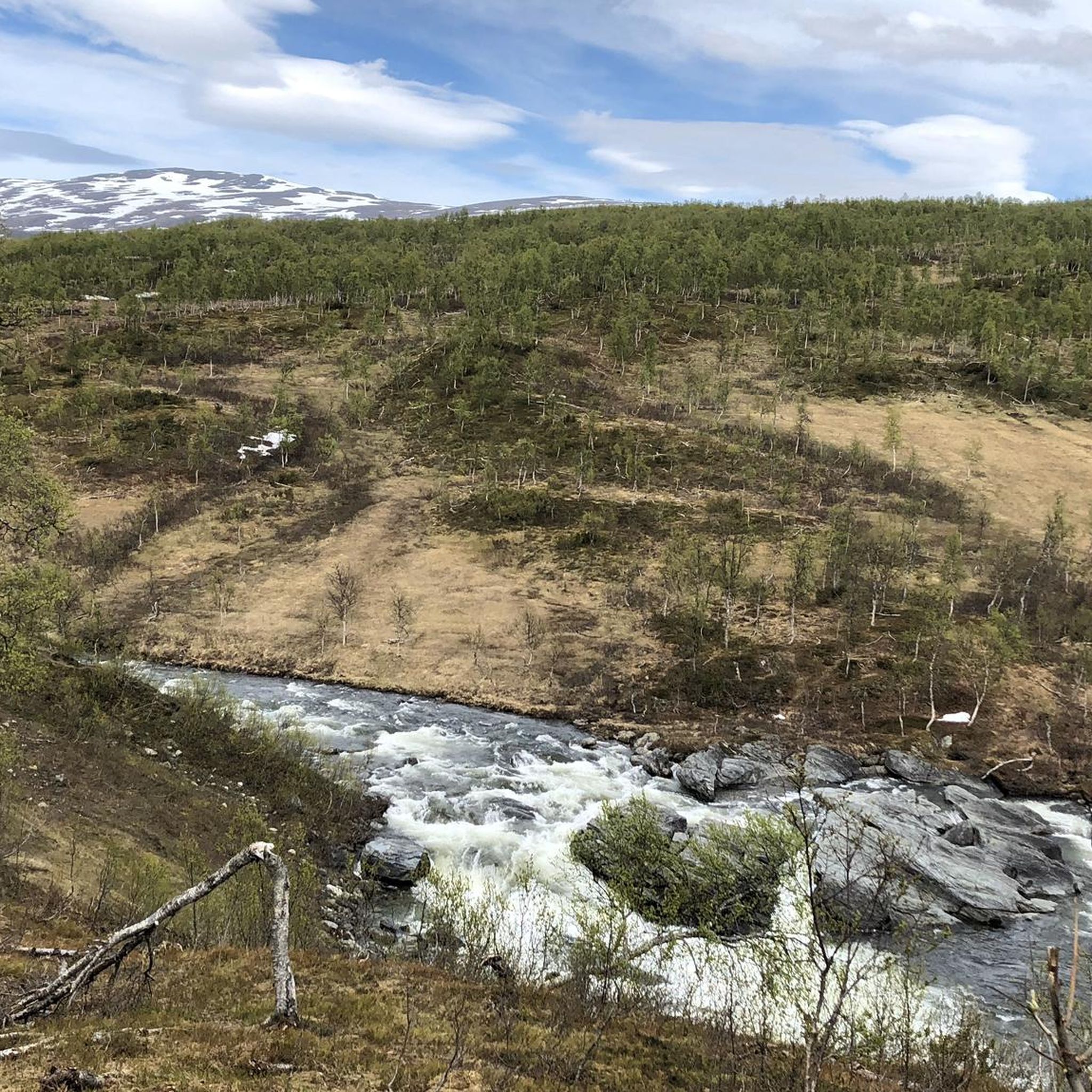
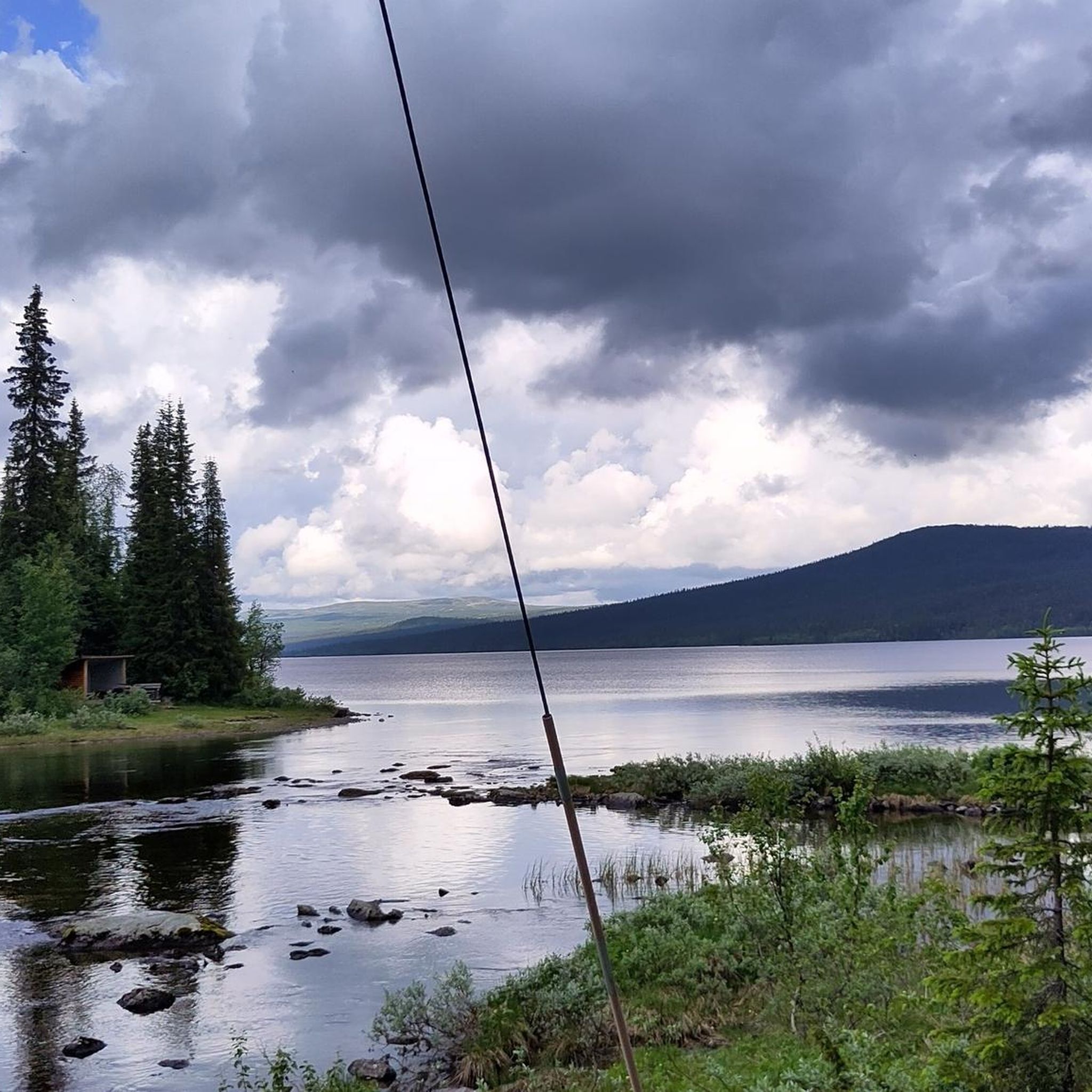
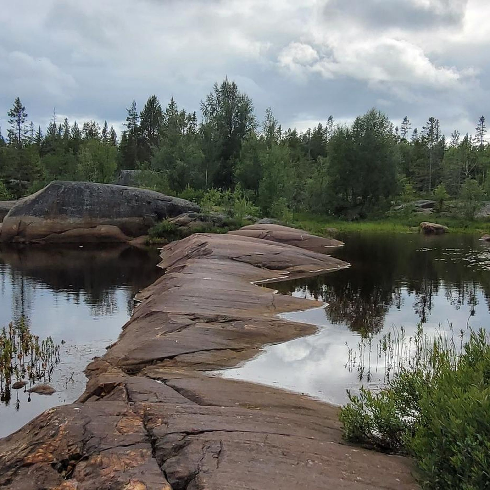
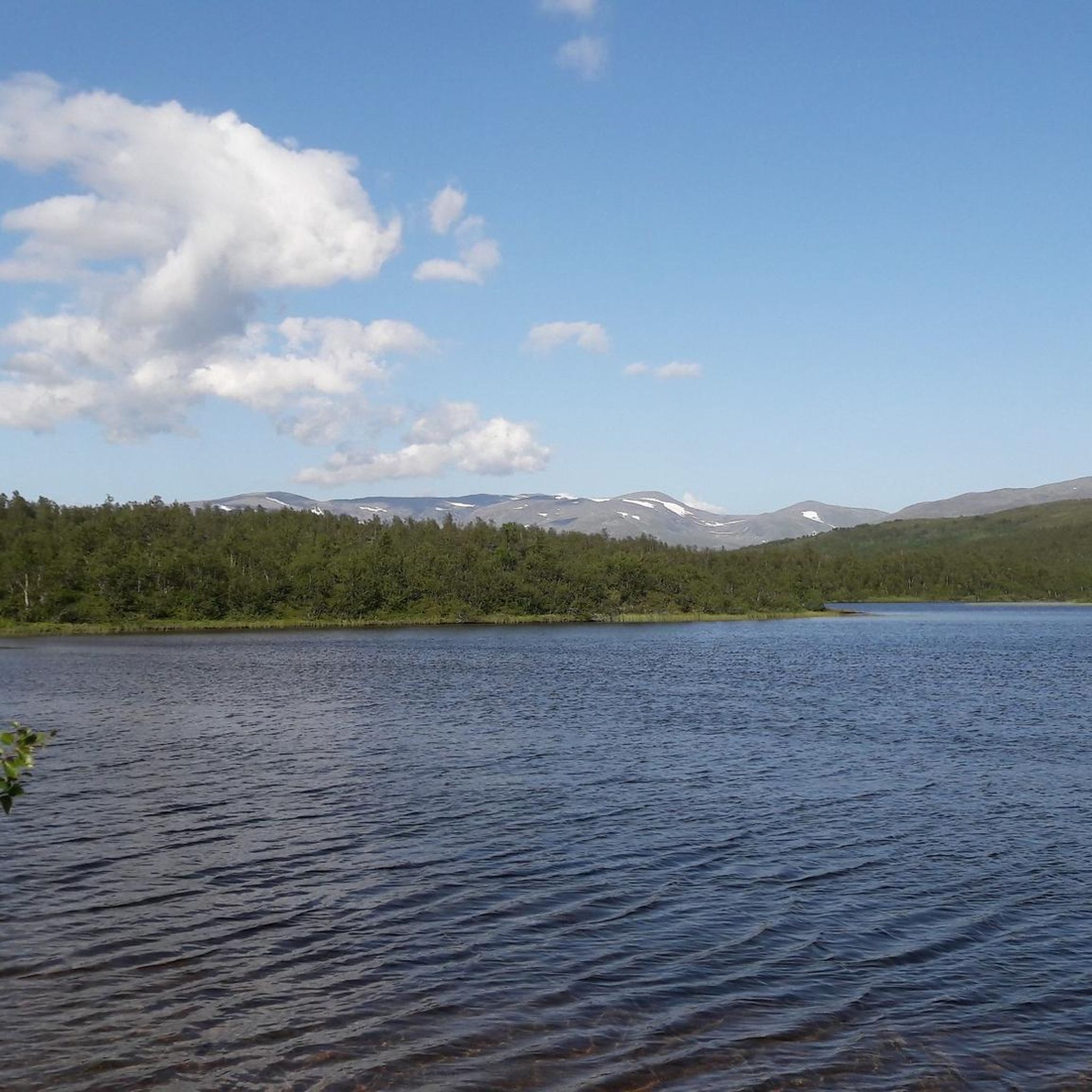
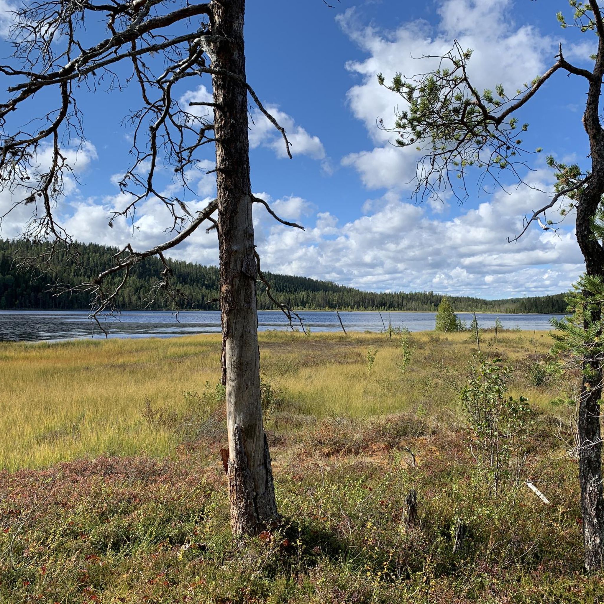
Hiking in Västerbotten offers diverse natural landscapes, stretching from the Gulf of Bothnia to the Norwegian border. The region features varied terrain, including coastal plains, expansive forests, vast river valleys, and rugged mountains. Hikers can explore areas with old-growth forests, numerous rivers like the Vindelälven, and extensive nature reserves such as Vindelfjällen.
Best hiking trails in Västerbotten
- The most popular hiking route is Guldbäcksleden - Björnlandet National Park, a 4.7 miles (7.6 km) trail that takes 2 hours 41…
Last updated: August 25, 2026
4.9
(51)
204
hikers
7.59km
02:41
220m
220m
Moderate hike. Good fitness required. Easily-accessible paths. Suitable for all skill levels.
4.6
(29)
97
hikers
12.5km
03:36
310m
310m
Moderate hike. Good fitness required. Easily-accessible paths. Suitable for all skill levels.

Sign up for free
5.0
(8)
118
hikers
10.9km
03:59
400m
130m
Moderate hike. Good fitness required. Mostly accessible paths. Sure-footedness required.
5.0
(8)
118
hikers
10.9km
03:59
400m
130m
Moderate hike. Good fitness required. Mostly accessible paths. Sure-footedness required.
4.7
(15)
114
hikers
8.15km
02:04
20m
20m
Moderate hike. Good fitness required. Easily-accessible paths. Suitable for all skill levels.
4.5
(27)
101
hikers
4.01km
01:07
80m
80m
Easy hike. Great for any fitness level. Easily-accessible paths. Suitable for all skill levels.
4.7
(20)
85
hikers
7.66km
01:57
30m
30m
Easy hike. Great for any fitness level. Easily-accessible paths. Suitable for all skill levels.
4.6
(17)
76
hikers
6.50km
01:40
30m
30m
Easy hike. Great for any fitness level. Easily-accessible paths. Suitable for all skill levels.
4.7
(3)
84
hikers
19.4km
07:04
500m
580m
Hard hike. Very good fitness required. Mostly accessible paths. Sure-footedness required.
5.0
(4)
85
hikers
13.8km
05:01
330m
420m
Hard hike. Very good fitness required. Mostly accessible paths. Sure-footedness required.
Get access to more routes and recommendations from other explorers.
Sign up for free
Already have an account?
Our route recommendations are based on thousands of hikes, rides, and runs completed by other people on komoot.
Start today with a free account
Your next adventure awaits.
Login or Signup
Other adventures in Västerbotten


Tips from the Community

Super hut well-maintained and with firewood. Top.
3
0
One of the entrances to the national park very well developed with WC, rest area and also here in the middle of nowhere there are still trilingual flyers.
3
0

The Viterskalet cabin is the last one you’ll come across on the Kungsleden before reaching Hemavan. Here, the mountain hut experience and the accommodation are simple and authentic. You’ll sleep in a dormitory and will need to cater for your own meals. However, there is a communal room where you can socialise with other hikers, prepare your meals and eat indoors. The rooms vary in size, are fitted with bunk beds and are usually heated by gas stoves. On arrival, you’ll need to fetch your own firewood and collect water from the stream or lake to wash up. A truly authentic experience!
0
0
Cabins are situated here in the heart of the magnificent U-shaped valley that cuts right across Storfjället. The natural scenery here is truly spectacular.
0
0
Hemavan is traditionally regarded as the end point of the Kunksleden. That doesn’t mean you can’t set off from here on a day hike. Before setting off on the trail, do take the time to visit the nature interpretation centre, where the start of the route is marked.
0
0

Slightly further up from Kullafallen, this is yet another fine cascade on the Dårronbäcken. The trails here are beautiful, revealing both lovely waterfalls and stirring views towards mighty Durrenpiken.
0
0
The sheer northeast facing cliffs of Durrenpiken tower almost half a kilometer above Durrenjaure, its summit reaching an impressive 1,286 meters (4,219 ft). From the trails above Klimpfjäll you can appreciate the grandeur of this great mountain. Durrenjaure is on the route of the Lapplandsleden, which can be joined via a short hike from here.
0
0
A wonderful stepped cascade above Klimpfjäll, Kullafallen is a glorious sight. Just downstream from here, the Dårronbäcken empties in to the beautiful Kultsjön by the village. During winter Klimpfjäll is a ski resort with a slope that's even illuminated at night.
0
0
Frequently Asked Questions
How many hiking trails are available in Västerbotten?
Västerbotten offers a wide array of hiking opportunities, with nearly 270 routes available on komoot. These trails cater to all levels, from easy strolls to more challenging mountain treks, ensuring there's something for every hiker.
What is the best time of year to go hiking in Västerbotten?
The best time for hiking in Västerbotten depends on your preference. Summer offers long daylight hours and green trails, while autumn provides stunning foliage. Spring brings wildflowers, and winter offers unique snowshoeing or cross-country skiing experiences. The region's diverse landscapes are beautiful year-round.
Are there family-friendly hiking trails in Västerbotten?
Yes, Västerbotten has many family-friendly options. For an easy and scenic walk suitable for families, consider the Around Lake Grössjön - Grössjön Nature Reserve trail, which is 7.7 km long and takes about 1 hour 57 minutes. Another great choice is Gausjosjön Sami Settlement Trail, an easy 5.2 km path.
Can I bring my dog on the hiking trails in Västerbotten?
Many trails in Västerbotten are dog-friendly, but regulations can vary, especially within nature reserves and national parks. It's generally recommended to keep dogs on a leash to protect wildlife and ensure a pleasant experience for all hikers. Always check specific rules for the area you plan to visit.
What kind of unique natural attractions can I see while hiking in Västerbotten?
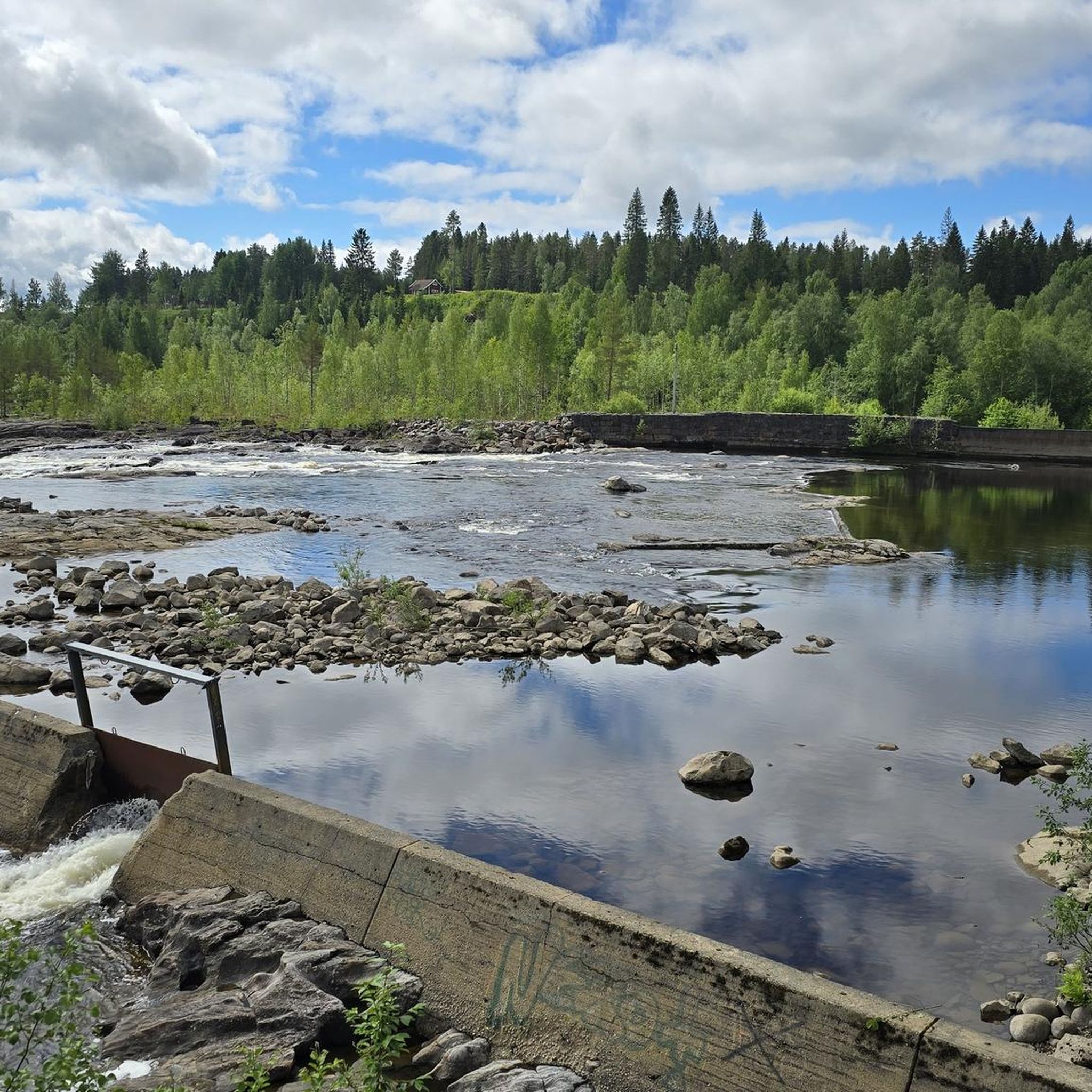
Västerbotten's diverse landscape offers many unique natural attractions. You can explore dramatic rapids and ancient forests along the Mårdseleforsen Hiking Trail. For impressive waterfalls, consider visiting Svartbäcken Waterfall and Rock Potholes or Trappstegsforsen Waterfall. The region also features extensive nature reserves like Vindelfjällen, known for its rugged mountain landscape and rich biodiversity.
Are there any circular hiking routes in Västerbotten?
Yes, Västerbotten offers several circular routes. A notable one is Rönnlandsrundan – Björnlandets nationalpark, an easy 4.3 km loop through the national park. The Bjuröklubb, vandringsled – Bjuröklubb Naturreservat also offers several hiking loops through historical and natural landscapes.
What are the general difficulty levels for hiking in Västerbotten?
Hiking trails in Västerbotten range from easy to difficult. You'll find a significant number of easy routes (over 140), many moderate options (over 90), and some challenging trails (around 26), particularly in the mountainous western parts of the region. This variety ensures suitable options for all fitness levels.
Where can I find parking at trailheads in Västerbotten?
Many popular trailheads in Västerbotten, especially those leading to nature reserves or well-known attractions, typically offer designated parking areas. It's advisable to check specific route information or local tourist guides for details on parking availability and any potential fees before heading out.
What do other hikers enjoy most about hiking in Västerbotten?
The hiking experience in Västerbotten is highly rated by the komoot community, with an average score of 4.5 stars from over 600 reviews. Hikers often praise the region's diverse and pristine natural landscapes, from coastal plains to rugged mountains, and the tranquility of its vast forests and river valleys.
Are there opportunities for wildlife spotting while hiking in Västerbotten?
Västerbotten is rich in wildlife, offering excellent opportunities for spotting animals like moose, reindeer, and various bird species. In more remote areas, lucky hikers might even glimpse bears or wolverines. The region's extensive forests and nature reserves provide ideal habitats for diverse fauna.
Are there any trails that lead to mountain summits in Västerbotten?
Yes, Västerbotten, particularly its western parts, offers trails leading to impressive summits. You can challenge yourself with the Atoklimpen Summit Trail, which offers significant elevation gain. Another option is the Atoklimpen cultural reserve hiking trail, which also provides access to the Atoklimpen Summit.
Are there any long-distance trails that pass through Västerbotten?
Yes, parts of the famous Kungsleden (King's Trail) traverse Västerbotten, offering spectacular mountain hiking experiences. Other notable long-distance trails include the Isälvsleden and the Nasa Trail, providing extensive trekking opportunities across the region.
Most popular routes in Västerbotten
Most popular attractions in Västerbotten

Get inspired with the komoot mobile app


Didn’t find what you were looking for?
Check out more Hikes throughout Västerbotten below and find the perfect route in your destination.
Explore more
Browse the best Hikes in other regions.
