The best MTB trails around Beveren
4.0
(47)
584
riders
57
rides
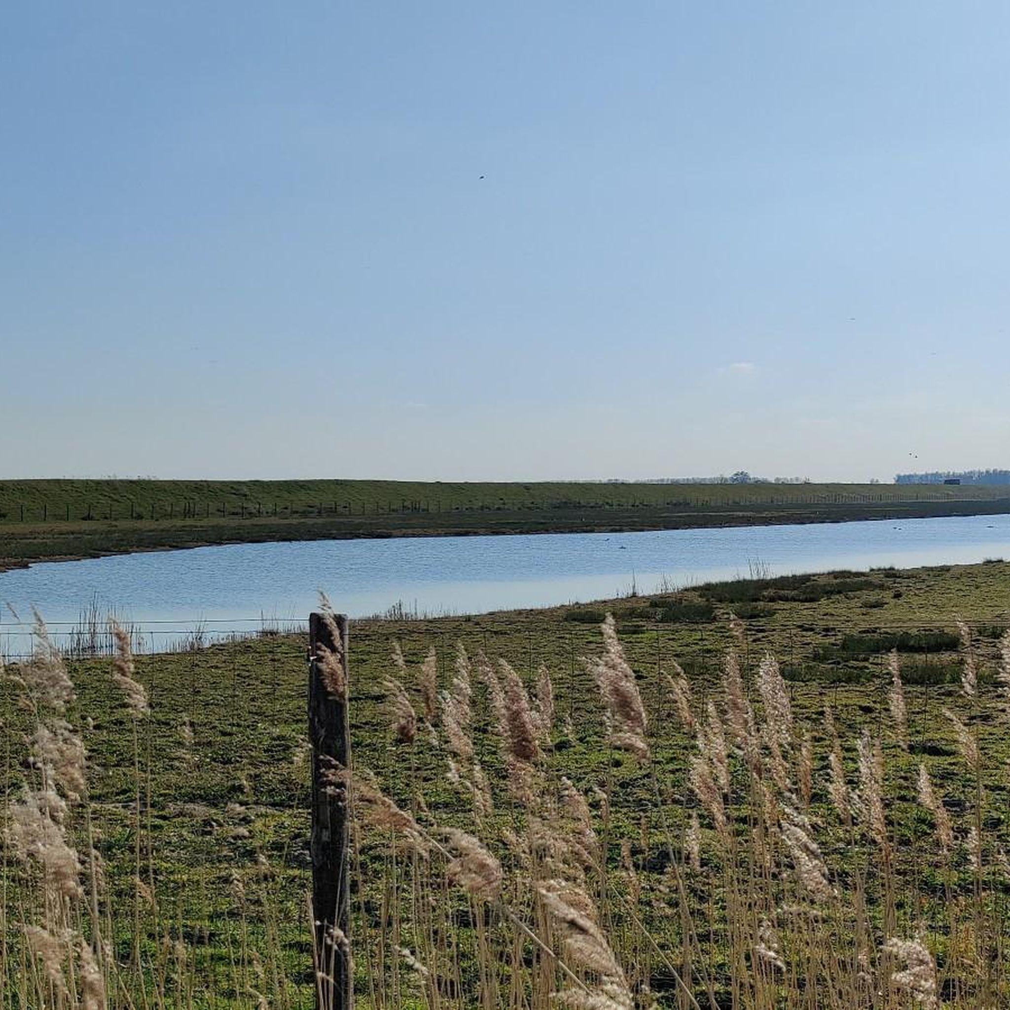
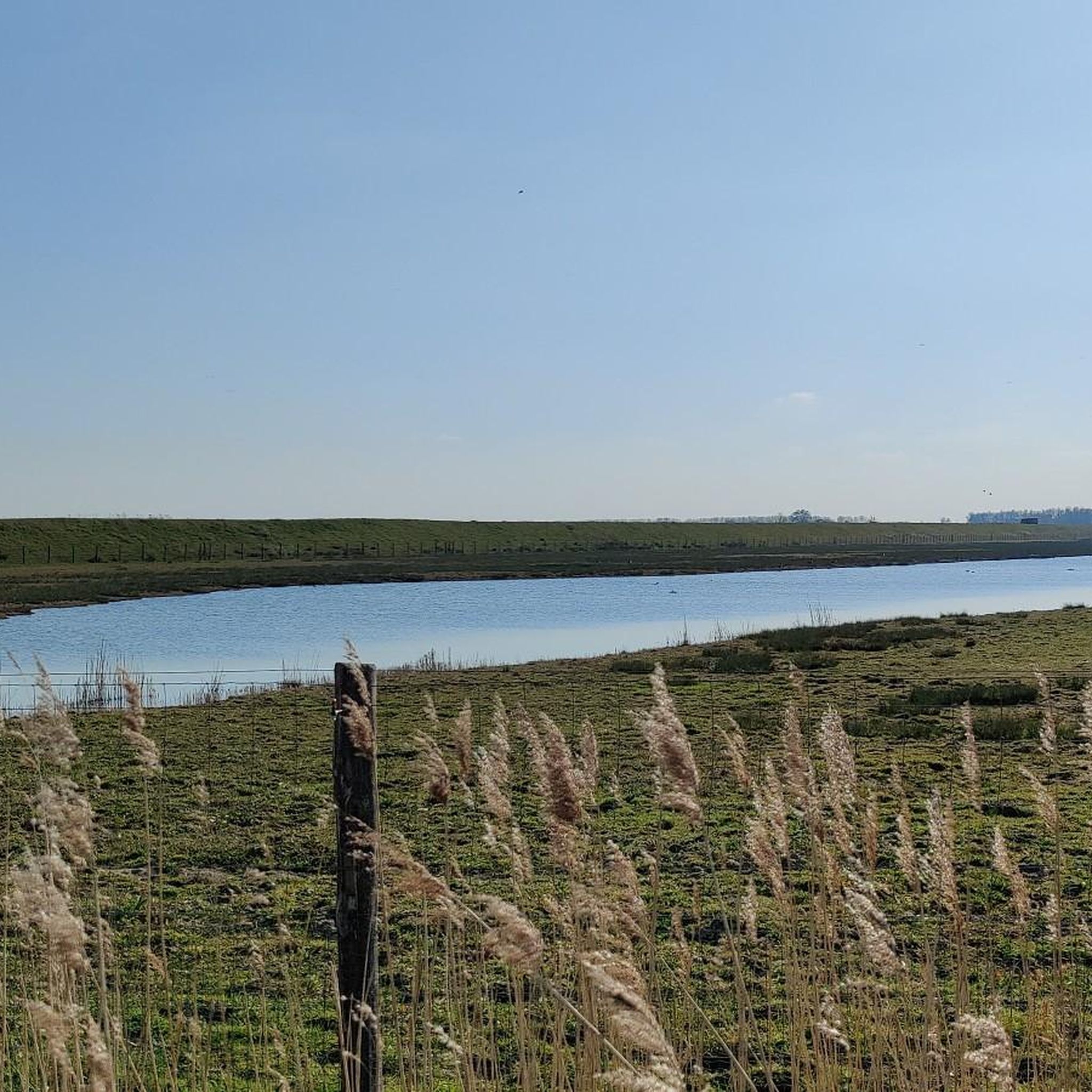
Mountain bike trails around Beveren offer a diverse landscape for riders, characterized by varied terrain including gentle hills, dense forests, green meadows, and river courses. The region features unique polder landscapes, particularly north of Beveren, and is influenced by the Scheldt River. With minimal elevation changes across many routes, Beveren provides accessible mountain biking opportunities for various skill levels.
Best mountain bike trails around Beveren
- The most popular mountain bike trail is Singletrack and Old Railway – Kappeltöken Bahnweg loop…
Last updated: August 15, 2026
4.0
(5)
61
riders
45.8km
02:46
100m
100m
Moderate mountain bike ride. Good fitness required. Suitable for all skill levels.
3.7
(6)
61
riders
39.4km
02:42
40m
40m
Moderate mountain bike ride. Good fitness required. Suitable for all skill levels.

Sign up for free
3.9
(10)
67
riders
62.7km
03:27
140m
140m
Moderate mountain bike ride. Good fitness required. Advanced riding skills necessary.
4.5
(2)
34
riders
Moderate mountain bike ride. Good fitness required. Advanced riding skills necessary.
5.0
(1)
16
riders
32.3km
01:54
40m
40m
Moderate mountain bike ride. Great for any fitness level. Advanced riding skills necessary.
Get access to more routes and recommendations from other explorers.
Sign up for free
Already have an account?
Our route recommendations are based on thousands of hikes, rides, and runs completed by other people on komoot.
Start today with a free account
Your next adventure awaits.
Login or Signup
Popular around Beveren
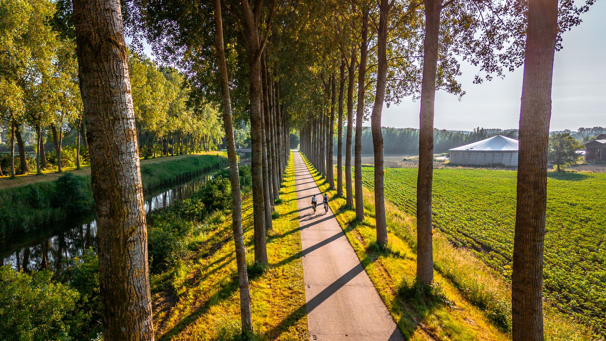
The six most beautiful cycling routes in East Flanders
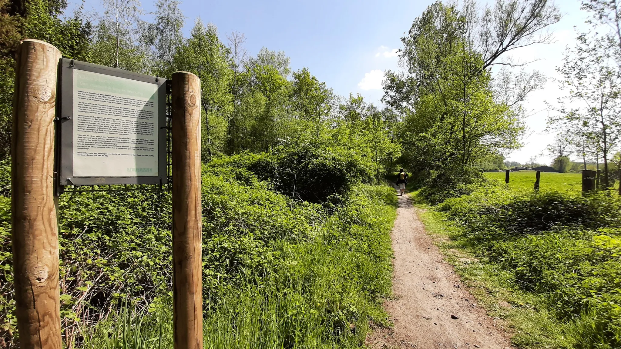
In the footsteps of den vos Reynaerde – Streek-GR Waas- en Reynaertland
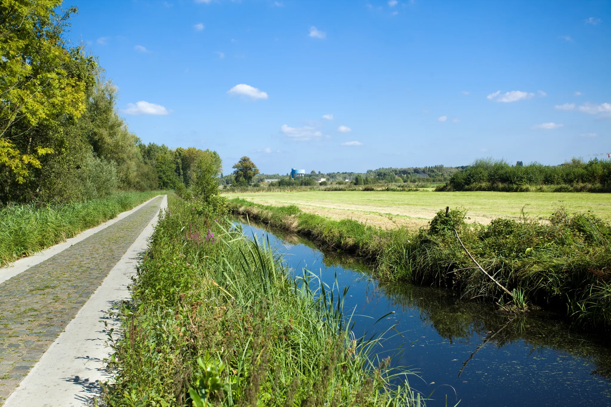
Two days Cycling in the border region – Between de Schelde and Zeeland
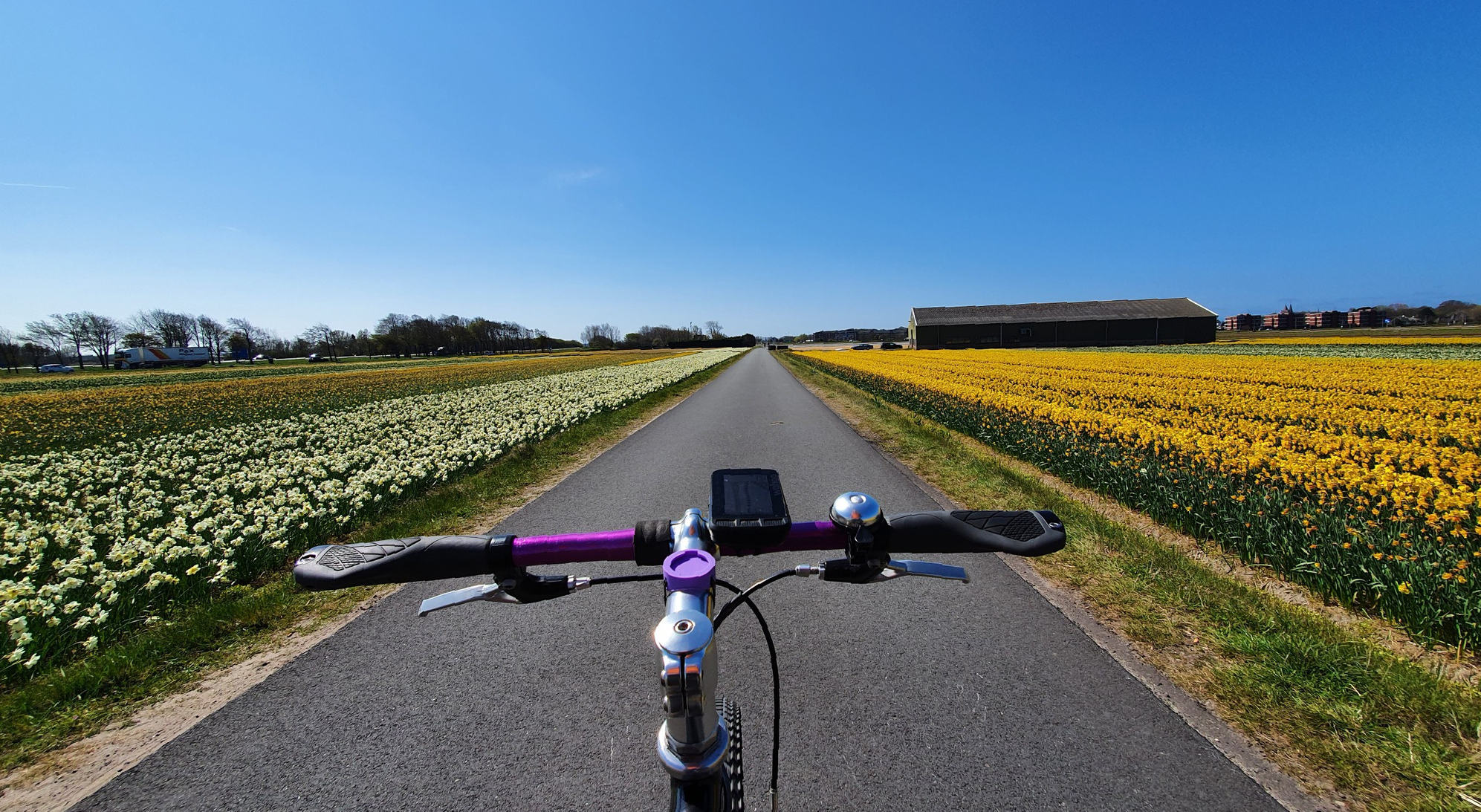
Cycling among flowers – unknown tulip routes in the Netherlands
Road Cycling Routes around Beveren
Hiking around Beveren
Cycling around Beveren
Running Trails around Beveren

Gravel biking around Beveren
Other adventures around Beveren


Tips from the Community

The Stropersbos is located right on the Belgian-Dutch border and forms a whole with the Clingse Bossen, as the forest on the Dutch side of the border is called. The history of the forest dates back to the 13th century. This means that the forest has experienced wars, and from one of those wars, the War of the Spanish Succession (1702-1713), very clear traces can still be seen: there are still a number of remnants of the Line that served here in 1701. A little further north, there are also remains of Fort Sint-Jan (from which the Dutch municipality Sint-Jan-Steen derives its name). But even if you are not interested in that history, the Stropersbos is a special place, both for the tree and plant lover, the birdwatcher, the playing child, the boot-wearing walker who likes to trudge through mud, the bivouacker, ... and everyone who simply enjoys a walk. There is a good chance you will encounter wild horses, pass grazing sheep, or that - who knows, maybe you'll be as lucky as I was - roe deer or a fox will cross your path. In short: a very beautiful hiking area ...
3
0
The outdoor site of KLINGSPOOR can be visited every day. The experience centre is open every Sunday from April to October from 2 PM to 5 PM. Staff members of Folkloregroep De Klomp will welcome visitors. KLINGSPOOR is freely accessible to everyone; no ticket needed. Would you like to visit the experience centre with your family, as part of a school trip or with a group? Then you can make an appointment via the Sint-Gillis-Waas Tourism service. source: klingspoor.be
2
0
Actually, it's not allowed in the Clingse Bossen: go off the path, roam through the forest and build huts. Because plants get damaged and animals get scared. But here you can! So come and splash around with water, climb a tree, put on your own show in the theatre or play hide-and-seek!". an information board challenges children to romp around here. "Feel free to bring your parents: just put them on a bench with a good book and they'll be no trouble at all!" it continues, almost in the style of Annie M.G. Schmidt ;-)
3
0
A bunker of 8 x 7.5 meters, with a wall thickness of 2 meters... If there were no information boards on the wall, you could easily walk past it, as it doesn't have the typical appearance of a bunker, but rather that of a house or shed. The bunker is part of a 12.5 km line of a total of 216 bunkers built. Construction began in early 1917 under the leadership of German engineers, but it was mainly requisitioned civilian workers who carried them out. There are 5 main types. This bunker is of type W3, a large observation bunker. These bunkers are the largest on the bunker line and presumably command bunkers for observation. The location of the only 4 examples indicates that they were intended for the local commanders of the defense. This line from 1917 on the left bank of the Scheldt was part of a German defense concept against northern incursions. The bunkers are important in military history and are therefore temporarily protected as monuments. The Germans tested various constructions. Ultimately, the reinforced concrete monolithic shelters provided the greatest satisfaction, and bunkers of this type were built on the Steendorp-Vrasene line. source: information board on site
2
0
Our Lady's chapel on the corner of Lange Nieuwstraat and Groenendam. The chapel and especially the statue of Mary have clearly suffered from the ravages of time. Next to the chapel is a sign with a poem by Leo Vercruyssen, "Lieve Vrouwe van de Polder". Leo Vercruyssen (1922-1999) was a pastor in Meerdonk for over twenty years (1973-1994) and was also known as a poet and cultural figure. source: sint-gillis-waas.be
3
0
A 'weel' (also called 'wiel' or 'kolk') is a deep pool of water that originated after a dike breach. The enormous force of the water during such a breach created a deep hole behind the dike, which often remained in the landscape as a mere or pool after the dike was repaired. Such 'welen' often develop into valuable nature reserves. The Grote and Kleine Weel form an important link between the nature reserves Grote Geule and Drijdijck. The Grote Geule is an offshoot of the former, much larger Land van Saeftinghe. source: natuurpunt.be
1
0

Every half-hour and hour you can pass here
1
0

Beautiful, quiet spot along the banks of the Scheldt. Well-maintained
0
0
Frequently Asked Questions
What kind of terrain can I expect on mountain bike trails in Beveren?
Beveren's mountain bike trails offer a diverse landscape, characterized by varied terrain including gentle hills, dense forests, green meadows, and picturesque river courses. You'll also find unique polder landscapes, particularly north of Beveren, and routes influenced by the scenic Scheldt River. Many routes feature minimal elevation changes, making them accessible for various skill levels.
Are there mountain bike trails suitable for beginners or families in Beveren?
Yes, Beveren offers accessible mountain biking opportunities for various skill levels, including options suitable for beginners and families. For instance, the green mountain bike loop of Kruibeke is approximately 14 kilometers long with minimal elevation, largely off-road, and ideal for relaxed rides. While specific 'family-friendly' routes aren't explicitly tagged, many of the easier and moderate trails with less elevation gain can be enjoyed by those new to mountain biking.
What are some notable natural features or landscapes I might encounter on the trails?
You'll encounter several unique natural features. The polders north of Beveren offer a distinct landscape reminiscent of the southern Netherlands, including the vast Groot Saeftinghe border park with its brackish marshlands. The Scheldt River provides scenic tidal landscapes, and tranquil Hospice forests offer peaceful escapes. The Hof ter Saksen Entrance Gate – Pond with Sandy Shore loop from Beveren, for example, takes you through the Hof ter Saksen park with its arboretum and wooded areas.
What do other mountain bikers say about the trails in Beveren?
The mountain bike routes in Beveren are highly rated by the komoot community, with an average score of 3.9 stars from over 20 reviews. Many riders appreciate the varied terrain, from polder landscapes to forests, and the accessibility of routes for different abilities. Over 370 mountain bikers have used komoot to explore Beveren's diverse trails.
Are there any circular mountain bike routes in Beveren?
Yes, many of the mountain bike trails in Beveren are designed as loops, allowing you to start and end at the same point. Examples include the Singletrack and Old Railway – Kappeltöken Bahnweg loop from Beveren, the Hof ter Saksen Entrance Gate – Pond with Sandy Shore loop from Beveren, and the Old Durme Gravel Path – Veldweg Stuurstraat–Ropstraat loop from Beveren.
What historical sites or attractions can I see near the mountain bike trails?
Beveren and its surroundings offer several historical attractions. You might encounter historic fort areas, such as those near the Haasdonk Fort – Veldweg Stuurstraat–Ropstraat loop from Melsele. Other notable sites include Cortewalle Castle, a picturesque 15th-century moated castle, and the unique Doel Village with its 17th-century windmill and 'ghost town' atmosphere. You can also explore Fort Steendorp or Wissekerke Castle.
What is the typical length and duration of mountain bike trails in Beveren?
The mountain bike trails in Beveren vary in length and duration. Many popular routes range from approximately 35 km to 68 km. For example, the Hof ter Saksen Entrance Gate – Pond with Sandy Shore loop from Beveren is about 35.3 km and takes around 2 hours 10 minutes, while the Old Durme Gravel Path – Veldweg Stuurstraat–Ropstraat loop from Beveren is nearly 68 km and typically takes around 4 hours 10 minutes.
Are there any specific viewpoints or scenic spots along the trails?
While specific viewpoints are not always highlighted, the varied landscape of Beveren offers many scenic spots. The polder areas, the banks of the Scheldt River, and the tranquil forests provide picturesque views. The Radar Tower, situated at the junction of the Scheldedijk and Zoetenberm, offers panoramic views of the harbor, polders, and the Scheldt, and can be accessed via cycling paths.
What is the best time of year for mountain biking in Beveren?
Beveren's varied terrain makes it suitable for mountain biking across different seasons. However, spring and autumn often offer the most pleasant conditions with milder temperatures and beautiful natural scenery. Summer can also be enjoyable, though it might be warmer. Winter riding is possible, but trails might be muddier, especially in forested or low-lying polder areas.
Are there options for longer, more challenging mountain bike rides?
Yes, for those seeking a longer challenge, Beveren offers routes like the Old Durme Gravel Path – Veldweg Stuurstraat–Ropstraat loop from Beveren. This route covers nearly 68 km with an elevation gain of 170m, requiring good fitness. There are 30 moderate and 2 difficult trails out of 46 total routes, providing ample options for experienced riders.
Where can I find parking for mountain bike trails in Beveren?
Parking is generally available near the starting points of many trails in Beveren. Specific parking information can often be found on individual route pages on komoot. Many routes originate from Beveren itself, where public parking facilities are available. For trails like the green loop of Kruibeke, parking is typically accessible near the Potpolder van Kruibeke or the castle of Kruibeke.
Can I reach the mountain bike trails in Beveren using public transport?
Beveren is accessible by public transport, primarily by bus and train services connecting it to larger cities in Flanders. While direct access to every trailhead via public transport might vary, you can often reach the vicinity of the starting points and then cycle a short distance to begin your ride. It's advisable to check local public transport schedules and routes for the most convenient options to your chosen trailhead.
Most popular attractions around Beveren

Get inspired with the komoot mobile app


Explore more
Browse the best MTB trails in other regions.
