The best walks and hikes around Poperinge
4.3
(1490)
9,502
hikers
382
hikes
Hiking trails around Poperinge traverse a landscape characterized by extensive hop fields and gentle rolling hills. The region also features untouched stretches of forest and scenic waterways, such as those of the Yser. Trails often follow idyllic country roads, offering expansive views of surrounding farmlands and passing through charming villages.
Best hiking trails around Poperinge
- The most popular hiking route is The Yser at Roesbrugge – View of Roesbrugge Village loop from Oost-Cappel, a 4.4 miles (7.0 km) trail…
Last updated: August 25, 2026
4.7
(137)
661
hikers
Easy hike. Great for any fitness level. Easily-accessible paths. Suitable for all skill levels.
4.6
(54)
295
hikers
12.2km
03:07
40m
40m
Moderate hike. Good fitness required. Easily-accessible paths. Suitable for all skill levels.

Sign up for free
4.6
(49)
253
hikers
6.67km
01:47
70m
70m
Easy hike. Great for any fitness level. Easily-accessible paths. Suitable for all skill levels.
4.6
(208)
1,361
hikers
Moderate hike. Good fitness required. Easily-accessible paths. Suitable for all skill levels.
4.6
(38)
181
hikers
Moderate hike. Good fitness required. Easily-accessible paths. Suitable for all skill levels.
Get access to more routes and recommendations from other explorers.
Sign up for free
Already have an account?
Our route recommendations are based on thousands of hikes, rides, and runs completed by other people on komoot.
Start today with a free account
Your next adventure awaits.
Login or Signup
Popular around Poperinge
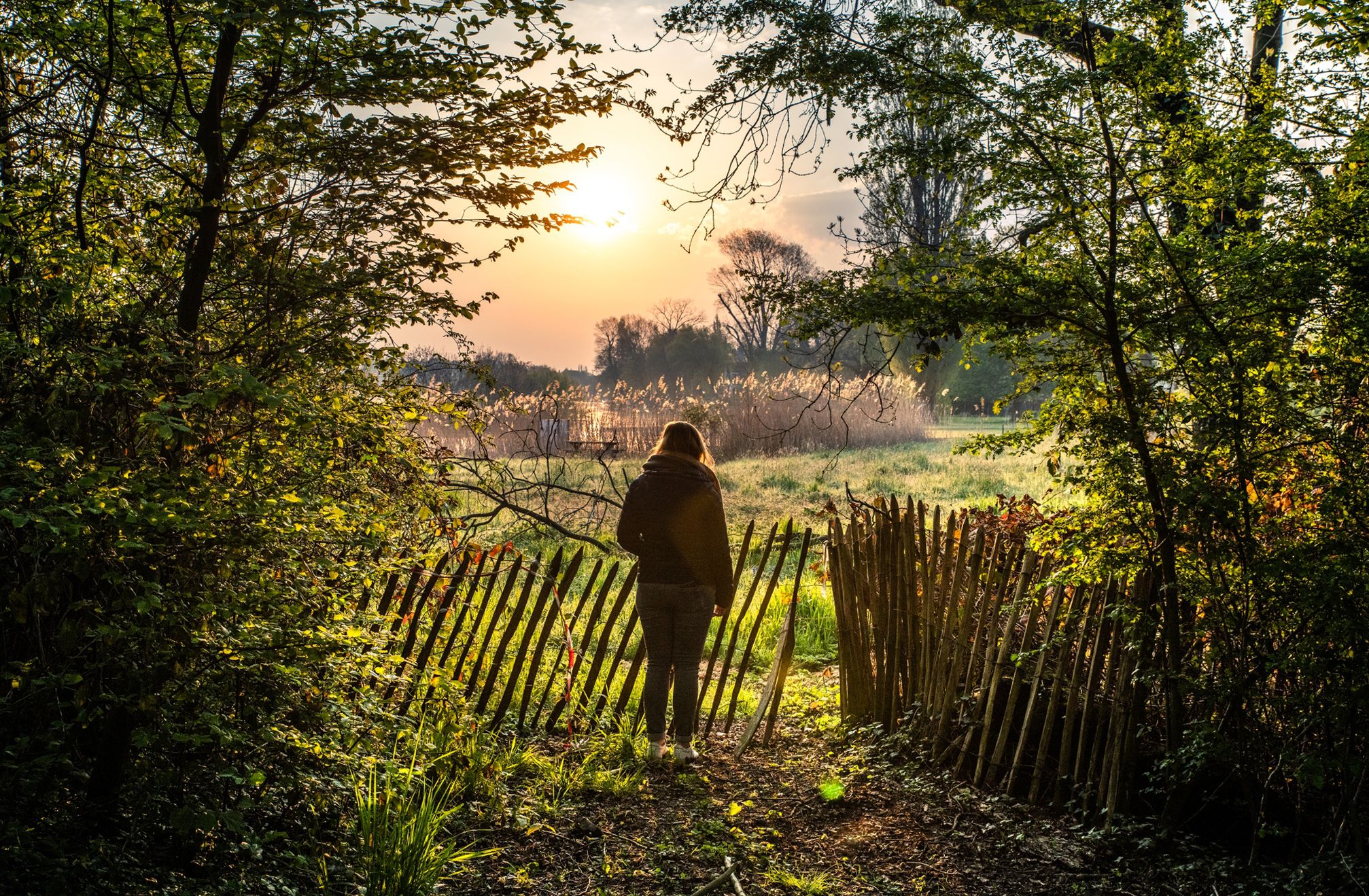
Waterside walks in Flanders
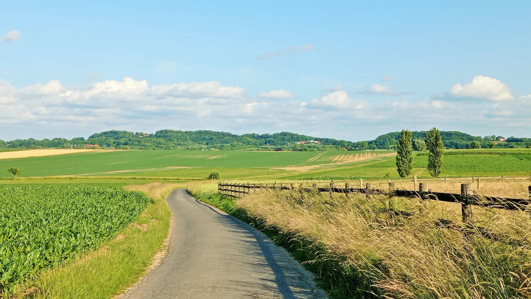
Seven-day Cycling tour through the South-Flemish hills – Hilly Route
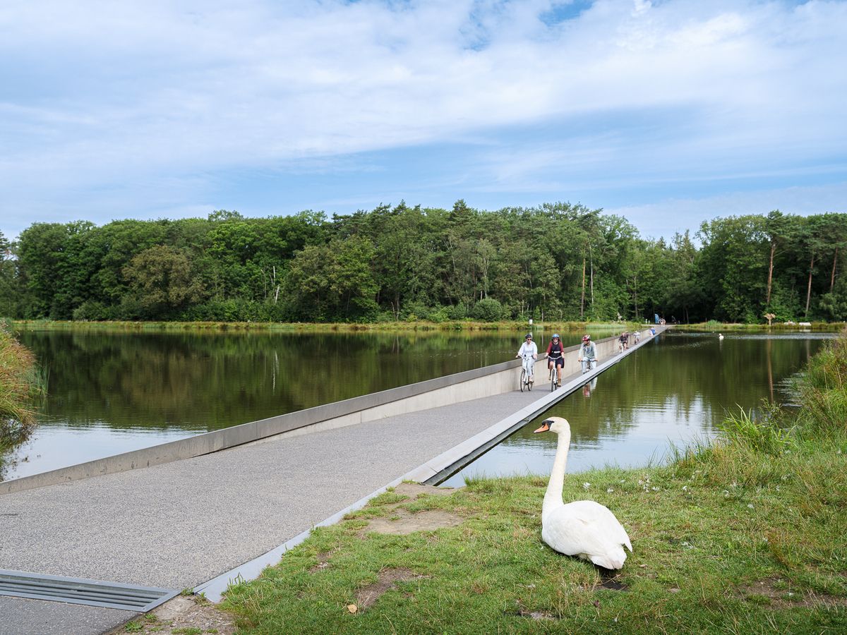
Flanders' Finest Cycle Routes: routes to discover Flemish nature and heritage
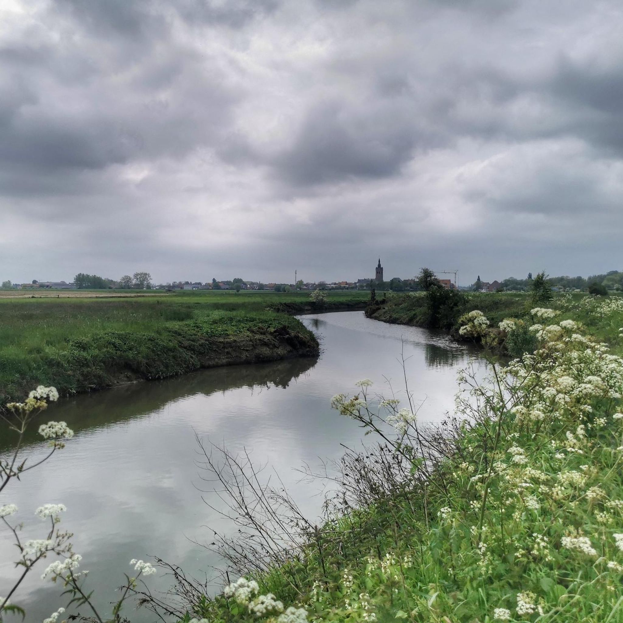
Cycling around Poperinge
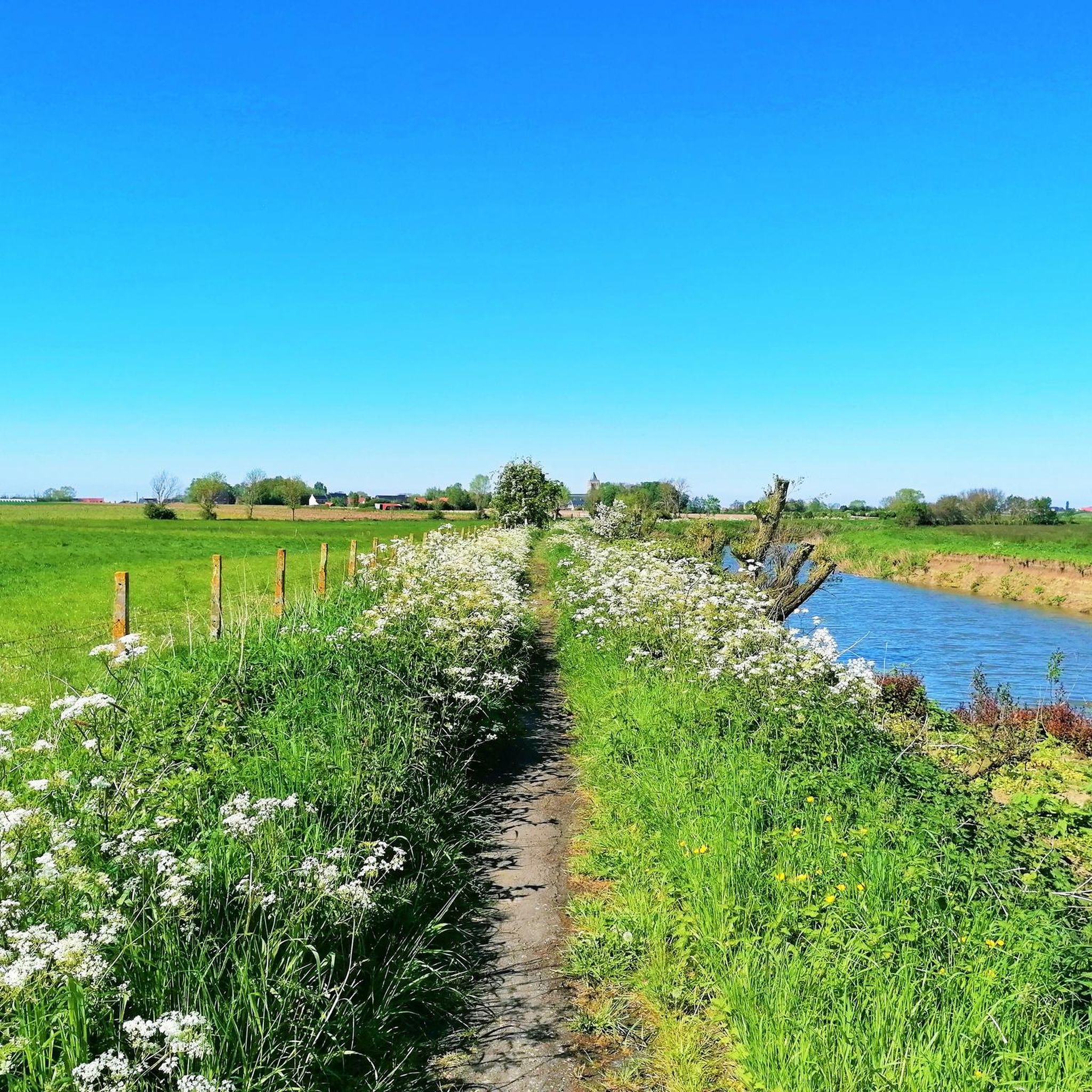
Road Cycling Routes around Poperinge
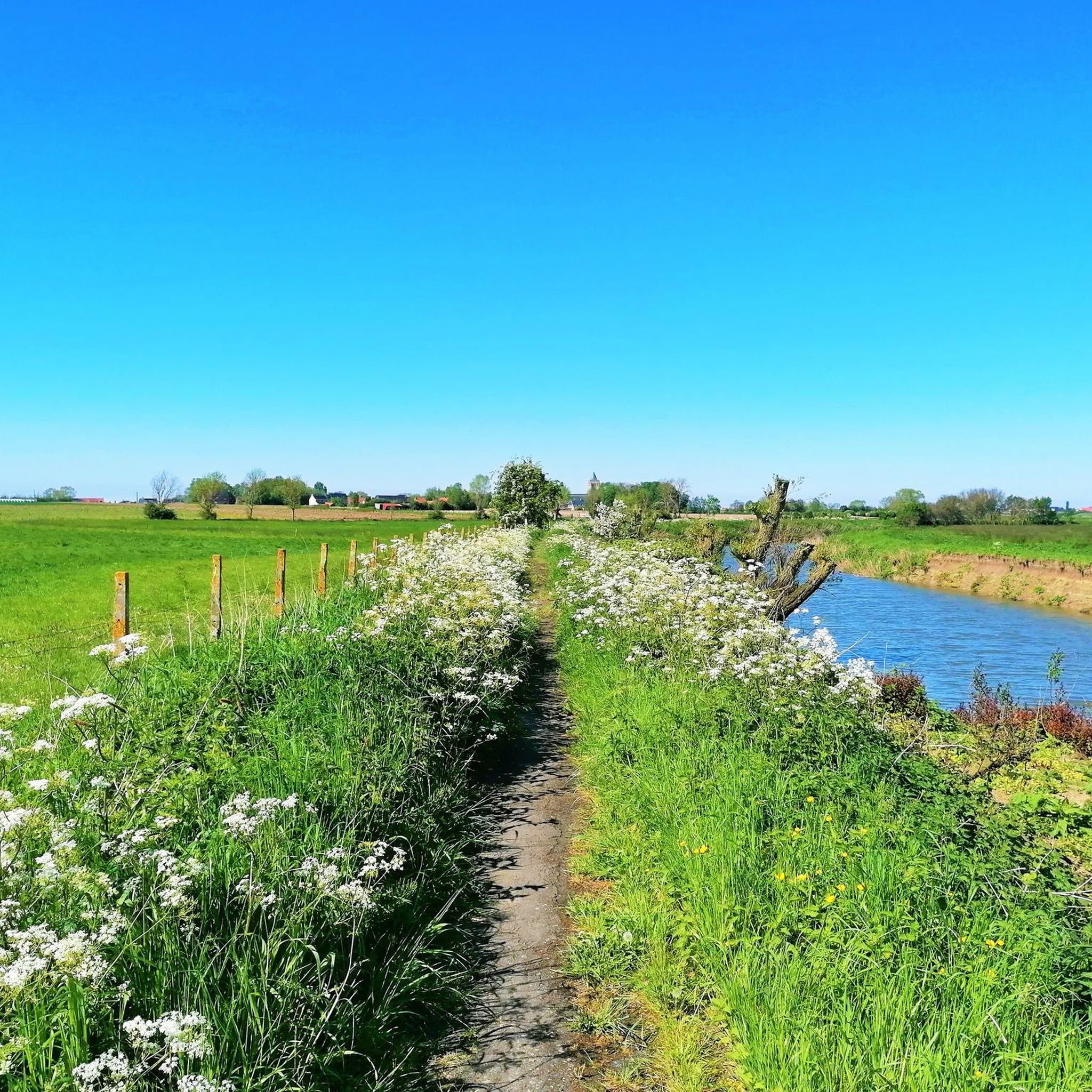
Running Trails around Poperinge
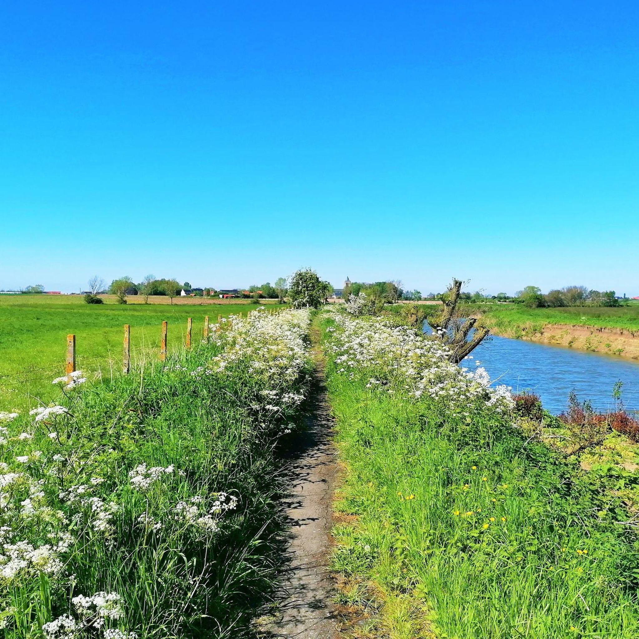
MTB Trails around Poperinge

Gravel biking around Poperinge
Other adventures around Poperinge


Tips from the Community

At first glance, the Helleketelbos seems like a quiet piece of nature, but those who look closely will discover that the ground still bears silent traces of the First World War. During the war, the forest was part of the ‘West Poperinghe Line’ and was used as a camouflaged resting and hiding place for British soldiers who could escape the hell of the Ypres Salient for a while. Especially during the German Spring Offensive of 1918, the area came under artillery fire. Between the trees, irregular, bowl-shaped pits are still visible here and there. They are overgrown remnants of shell impacts, now largely reclaimed by nature. Even outside the forest, the traces of war are subtly present. British army maps from July 1918 show a large military camp with wooden barracks around the Helleketelweg. They disappeared shortly after the Armistice, but the straight roads and property boundaries in the area still recall this military history today. A beautiful example of a place where nature has slowly covered the past, but not completely erased it.
1
0
At first glance, the Helleketelbos seems like a quiet piece of nature, but a closer look reveals that the ground still bears silent traces of the First World War. During the war, the forest was part of the ‘West Poperinghe Line’ and was used as a camouflaged resting and shelter place for British soldiers who could briefly escape the hell of the Ypres Salient. The area came under artillery fire, especially during the German Spring Offensive of 1918. Here and there, irregular, bowl-shaped pits are still visible between the trees. These are overgrown remnants of shell impacts, now largely reclaimed by nature. Even outside the forest, the traces of war are subtly present. British staff maps from July 1918 show a large military camp with wooden barracks around the Helleketelweg. These disappeared shortly after the Armistice, but the straight roads and property boundaries in the area still recall this military history today. A beautiful example of a place where nature has slowly covered the past, but not completely erased it.
1
0


This is probably a motte and bailey structure, perhaps built on an earlier Roman burial mound.
0
0
“The Mud” a war poem from the poetry collection “Menschen in de Grachten” by Daan Boens (1893-1977).
1
0

Short climb/descent at the Helleketelbos.
3
0


Picnic bench at a pond, in the greenery
0
0
Frequently Asked Questions
How many hiking trails are available around Poperinge?
Poperinge offers a wide selection of hiking opportunities, with over 360 trails available. These routes cater to various fitness levels, from easy strolls to more challenging treks across the region's diverse landscapes.
What kind of landscapes can I expect to see while hiking in Poperinge?
Hiking in Poperinge immerses you in a landscape defined by extensive hop fields and gentle rolling hills. You'll also discover untouched stretches of forest, scenic waterways like the Yser, and idyllic country roads that offer expansive views of surrounding farmlands and charming villages.
Are there any circular hiking routes in Poperinge?
Yes, many routes in Poperinge are designed as loops. For example, the The Yser at Roesbrugge – View of Roesbrugge Village loop from Oost-Cappel offers a pleasant 4.4-mile (7.0 km) circular path along the Yser river. Another option is the Helleketelbos Boardwalks – Helleketel Forest Trail loop from Poperinge, an easy 4.2-mile (6.8 km) route winding through the Helleketelbos forest.
What are some historical sites or landmarks I can explore on a hike?
Poperinge's history is woven into its trails. You can explore sites like the Dozinghem Military Cemetery – De Sixtusbossen Nature Reserve loop from Poperinge Lovie, which leads through historical areas. The region also features poignant World War I sites like the Lijssenthoek Military Cemetery and the peaceful Talbot House Garden, offering a journey through significant historical locations.
Are there family-friendly hiking options in Poperinge?
Absolutely. Poperinge offers many easy routes suitable for families. The generally gentle terrain and varied landscapes, including forests and farmlands, provide engaging experiences for all ages. Many trails are designed to be accessible and enjoyable for children.
Can I bring my dog on the hiking trails in Poperinge?
While specific regulations can vary by trail or nature reserve, many of Poperinge's rural paths and country roads are suitable for dog walking. It's always recommended to keep dogs on a leash and respect local signage, especially when passing through agricultural areas or near wildlife.
Are there any trails that go through forests or nature reserves?
Yes, Poperinge features beautiful forested areas and nature reserves. The Helleketelbos Boardwalks – Helleketel Forest Trail loop from Poperinge takes you through the Helleketelbos forest. Another excellent option is the Dozinghem Military Cemetery – De Sixtusbossen Nature Reserve loop from Poperinge Lovie, which guides you through the serene De Sixtusbossen Nature Reserve.
What do other hikers say about the trails in Poperinge?
The hiking trails in Poperinge are highly regarded by the komoot community, holding an average rating of 4.4 stars from over 1200 reviews. Hikers often praise the well-maintained paths, the picturesque views of hop fields and rolling hills, and the peaceful atmosphere of the forests and waterways.
Are there any castles or notable buildings to see near the hiking routes?
Yes, the region around Poperinge is home to several interesting castles. While hiking, you might encounter sights like De Lovie Castle Park. Other notable castles in the wider area include De Warande Castle and Beauvoorde Castle.
Are there any trails that pass by breweries or local villages?
Many routes in Poperinge meander through charming villages and past local establishments. For instance, the St. Bernardus Brewery, Watou – De Helleketel loop from Helleketelbos offers a route that includes the vicinity of the St. Bernardus Brewery in Watou, allowing you to experience local culture and charm.
What is the best time of year to go hiking in Poperinge?
Poperinge offers enjoyable hiking experiences throughout much of the year. Spring and summer are ideal for seeing the hop fields in full bloom and enjoying the lush green landscapes. Autumn provides beautiful colors, while winter hikes can offer a unique, tranquil perspective of the region's forests and waterways, though some paths might be muddy.
Are there shorter, easier routes for a quick walk?
Yes, Poperinge has numerous shorter and easier routes perfect for a quick walk. Over 210 of the trails are rated as easy, with many taking less than two hours to complete. These routes often feature minimal elevation gain and well-maintained paths, making them accessible for a leisurely stroll.
Most popular routes around Poperinge
Most popular attractions around Poperinge

Get inspired with the komoot mobile app


Explore more
Browse the best Hikes in other regions.
