The best road cycling routes around Manage
4.3
(92)
3,080
riders
27
rides
Road cycling routes around Manage offer a variety of terrain suitable for different skill levels. The region features routes that traverse canals, rivers, and areas with historical landmarks. While specific geographical details are limited, the available routes suggest a landscape that includes waterways and some elevation changes, with hills rather than mountains. The area provides options for both shorter, flatter rides and longer, more challenging routes with significant elevation gain.
Best road cycling routes around Manage
- The most popular road…
Last updated: May 16, 2026
106
riders
10.7km
00:30
50m
40m
Easy road ride. Great for any fitness level. Mostly well-paved surfaces and easy to ride.
4.0
(2)
114
riders
53.8km
02:44
240m
240m
Moderate road ride. Good fitness required. Mostly well-paved surfaces and easy to ride.

Sign up for free
21
riders
74.2km
03:19
410m
410m
Moderate road ride. Good fitness required. Mostly well-paved surfaces and easy to ride.
23
riders
96.9km
04:41
800m
800m
Moderate road ride. Good fitness required. Some segments of this route may be unpaved and difficult to ride.
22
riders
109km
05:02
1,050m
1,050m
Hard road ride. Very good fitness required. Some segments of this route may be unpaved and difficult to ride.
Get access to more routes and recommendations from other explorers.
Sign up for free
Already have an account?
Our route recommendations are based on thousands of hikes, rides, and runs completed by other people on komoot.
Start today with a free account
Your next adventure awaits.
Login or Signup
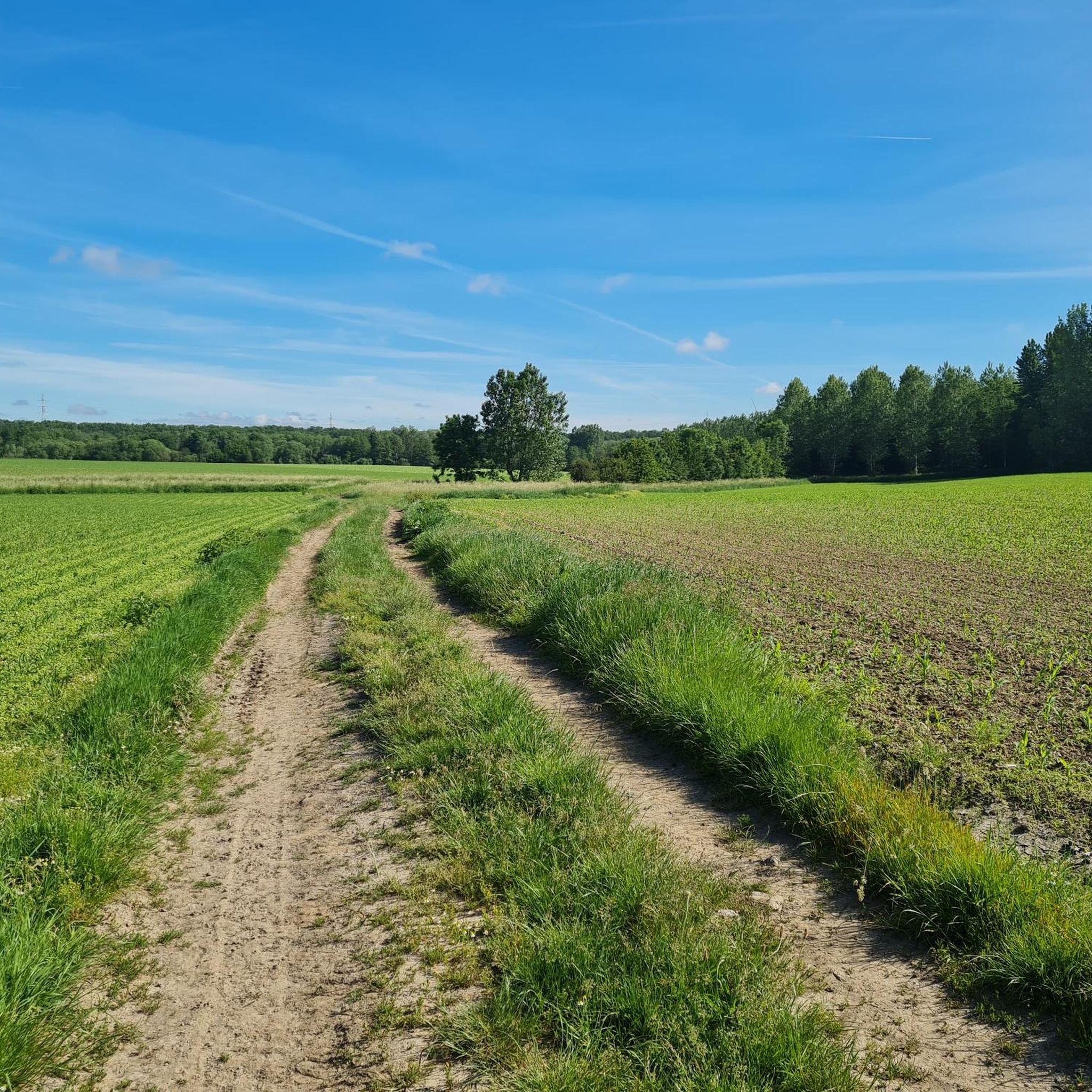
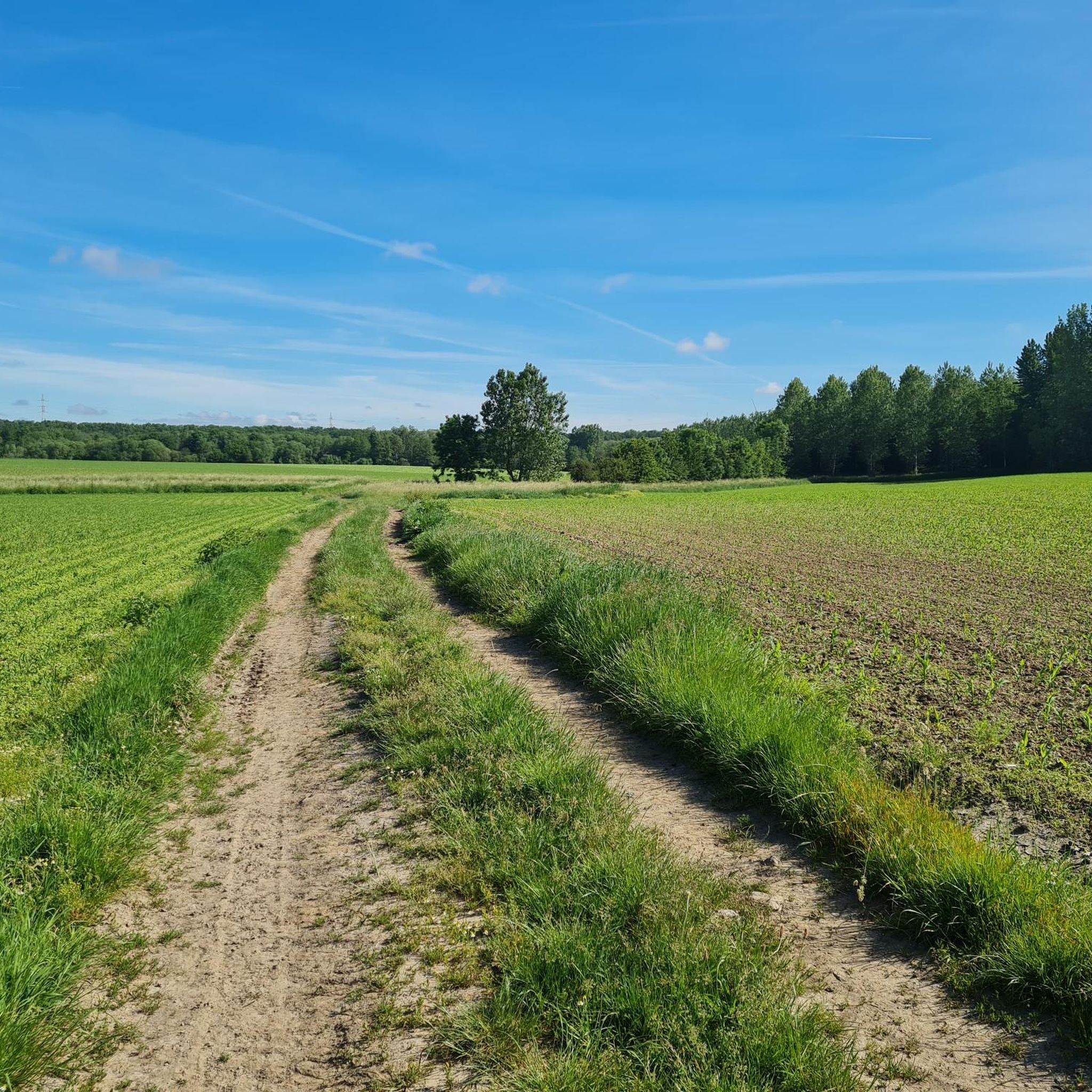
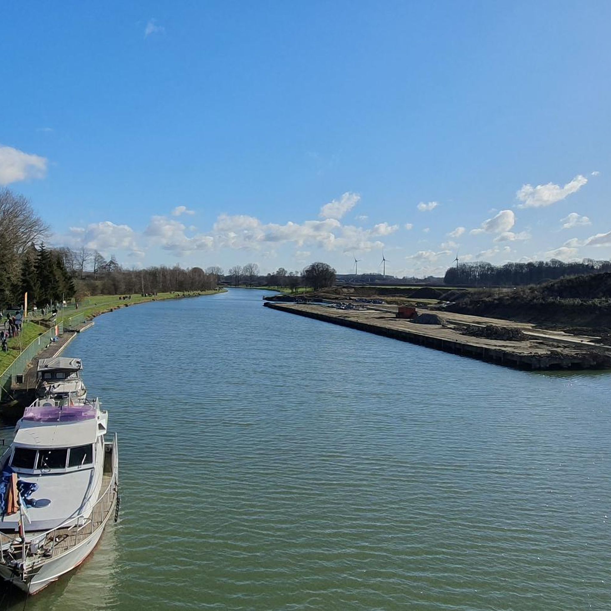
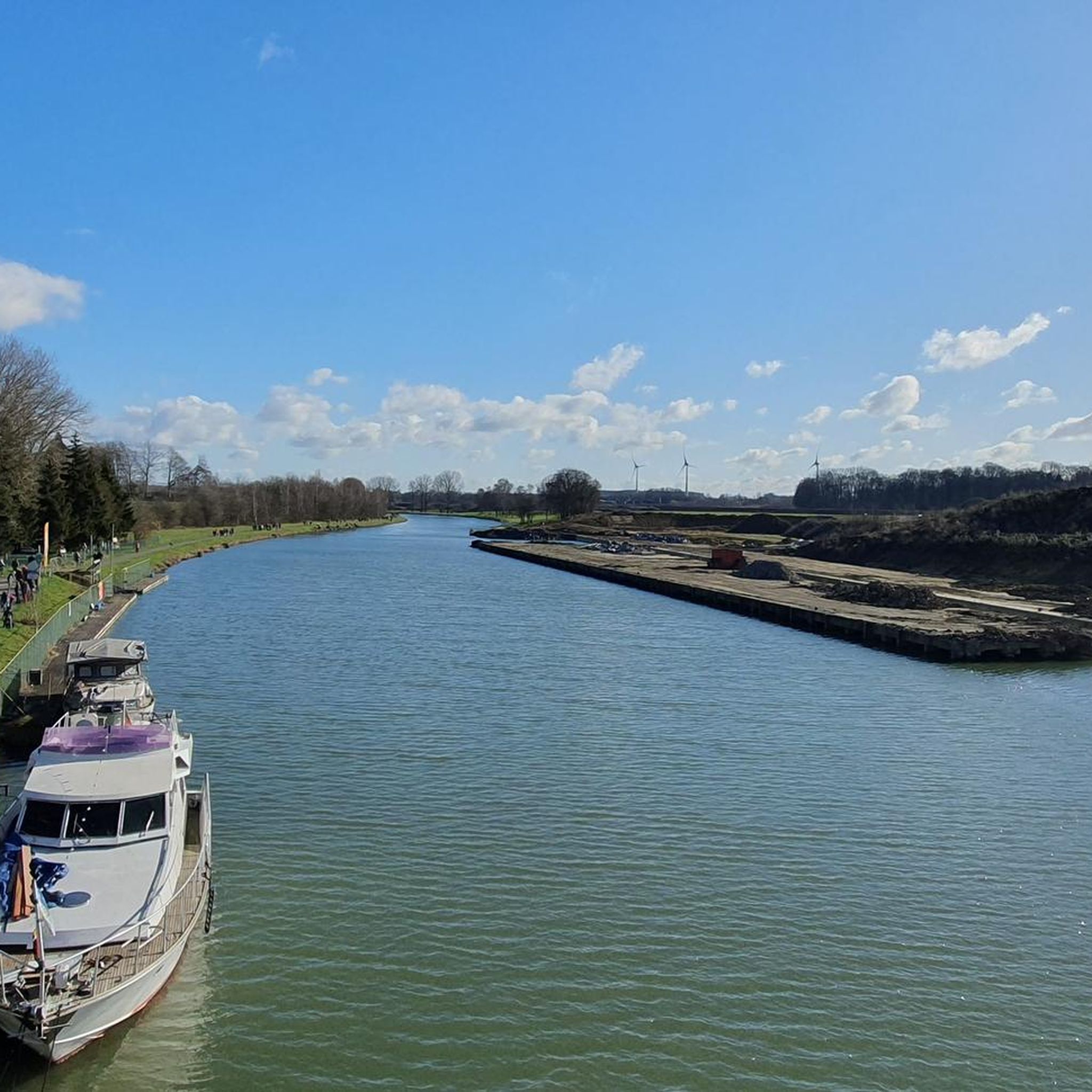
Tips from the Community

The Plate-Taille Dam is located in southern Belgium in Wallonia, on the border of the provinces of Namur and Hainaut. The dam is situated near the villages of Froidchapelle and Cerfontaine and forms the central element of the Lacs de l’Eau d’Heure lake district, the largest artificial lake complex in the country. This area covers approximately 1800 hectares and consists of several interconnected lakes that together form a unique landscape of open water, wooded hills, and extensive recreational zones. Due to its location between the Ardennes and the Fagne, the area has a varied and gently rolling terrain. The origin of the dam dates back to the 1970s when Belgium faced water management problems. The Sambre River, an important waterway for industry and shipping, experienced highly fluctuating water levels. During dry periods, the water level dropped too low, which had economic consequences. To solve this problem, an ambitious project was launched, including the construction of a series of dams on the Eau d’Heure River and its tributaries. The construction of the Plate-Taille dam began around 1974 and was completed in 1981. As a result of its construction, five lakes were created: * Plate Taille (the largest and deepest) * Eau d’Heure * Falemprise * Ry Jaune * Féronval The construction brought about a major change for the region. Certain areas were submerged, and residents had to relocate. At the same time, this project laid the foundation for a new economic model based on tourism and recreation. The Plate-Taille dam is the largest dam in Belgium and an impressive example of modern hydraulic engineering. The Plate Taille lake itself has a surface area of approximately 350 hectares and is the largest and deepest lake in Belgium. The dam holds back an enormous mass of water and literally forms the heart of the entire lake district. One of the dam's main functions is energy generation through a pumped-storage power plant. * Capacity: ± 140 megawatts * Number of turbines: 4 (reversible) * Type: pumped-storage power plant System Operation The system operates on a clever principle: * During low energy demand, water is pumped to a higher reservoir. * During high energy demand, the water flows back down through turbines, generating electricity. This makes the plant particularly valuable for stabilizing the electricity grid, especially in combination with renewable energy sources such as wind and solar power. Around the dam lies a surprisingly rich nature reserve. The combination of water, forests, and open plains ensures great biodiversity. The landscape is characterized by: * Dense deciduous and coniferous forests * Open grasslands * Reed beds along the banks * Quiet bays and small islands Animals found here include: * Roe deer * Foxes * Waterfowl such as grebes and cormorants * Birds of prey The creation of the lakes has led to new ecosystems where flora and fauna have adapted to the water-rich environment. For someone who enjoys long and challenging hikes, like myself, this area is ideal, and you can easily create routes of several hours here without much crowds. 🚴♂️ Cycling and Recreation Besides hiking, the area is also popular with: * Road cyclists (hilly terrain) * Mountain bikers * Families (flat cycling paths around the lakes) There are well-maintained cycling routes that connect the entire lake district. 🚤 Water Sports and Activities The Lacs de l’Eau d’Heure are the center for water sports in Belgium. Possibilities: * Sailing * Kayaking * Windsurfing * Diving (in certain zones) * Swimming Motorized water sports are permitted to a limited extent, which contributes to a relatively calm and natural atmosphere. 🧭 Tourist Facilities The area is highly developed for visitors without losing its natural charm. Key attractions: * Skywalk Plate-Taille – a panoramic tower with views over the entire area * Natura Parc L’Eau d’Heure – adventure park with climbing routes and zipline * Marinas and beach areas * Holiday parks and campsites This makes the area suitable for both day trips and longer stays.
0
0

Beautiful castle as well as park!
1
0

One of the many locks on the canal. From here you can head up to Viesville or head towards Seneffe or Charleroi.
0
0

Possible transition between the path running along the canal and the perpendicular Ravel paths
0
0


The thuin wall is short but steep
1
0

You are here in front of the Petit Poggio road. If you take it you can see one of the dams which regulates the water in the lakes.
1
0
Frequently Asked Questions
How many road cycling routes are available around Manage?
There are over 25 road cycling routes around Manage, offering a diverse range of experiences for all skill levels. These routes are highly rated by the komoot community, with an average score of 4.4 stars from over 90 reviews.
What types of landscapes can I expect to see while road cycling in Manage?
Road cycling routes around Manage frequently traverse canals and rivers, offering scenic, often flat, rides. You'll also encounter areas with historical landmarks and varying elevation profiles, including hills rather than mountains, providing a mix of terrain.
Are there any easy road cycling routes suitable for beginners or a relaxed ride?
Yes, Manage offers several easy road cycling routes. A great option is the Seneffe Marina – Old La Marlette Canal loop from Manage, which is an easy 6.6-mile (10.7 km) trail that follows a canal, providing a flat and accessible ride. Another easy choice is the Old La Marlette Canal loop from Les Prés Saint-Jean.
What are some challenging road cycling routes with significant elevation gain?
For those seeking a challenge, Manage has routes with substantial climbs. The Abbey of Bonne-Espérance – Thieu Drawbridge loop from Manage is a difficult 73.8-mile (118.8 km) trail featuring over 3,400 feet (1,000 meters) of elevation gain. Another demanding option is the Counts' Castle – Ronquières Boat Lift loop from Manage, a moderate 60.2-mile (96.9 km) path with significant elevation.
Can I find road cycling routes that pass by historical landmarks?
Absolutely. The region around Manage is dotted with historical sites. The Counts' Castle – Ronquières Boat Lift loop from Manage is a prime example, featuring historical landmarks along its 60.2-mile (96.9 km) path. You can also explore nearby castles like Écaussinnes-Lalaing Castle or Château de Seneffe, many of which are accessible via road cycling routes.
Are there any natural attractions or viewpoints along the road cycling routes?
While cycling around Manage, you can encounter various natural monuments and unique landscapes. Consider routes that pass near sites like Pétria Spoil Tip No. 1 or Le Chènoû Nature Reserve (Buvrinnes Marsh). These offer interesting natural features and potential viewpoints.
What do other road cyclists enjoy most about cycling in Manage?
The area is highly rated by the komoot community, with an average score of 4.4 stars. Reviewers often praise the variety of terrain, from flat canal paths to routes with significant elevation, and the opportunity to combine cycling with exploring historical landmarks and natural features.
Are there any loop routes for road cycling in Manage?
Yes, many of the road cycling routes around Manage are designed as loops, allowing you to start and end at the same point. Examples include the easy Seneffe Marina – Old La Marlette Canal loop from Manage and the more challenging Abbey of Bonne-Espérance – Thieu Drawbridge loop from Manage.
What is the best time of year for road cycling in Manage?
While specific seasonal details for Manage are not provided, road cycling is generally most enjoyable during spring, summer, and early autumn when the weather is milder and daylight hours are longer. These seasons typically offer the best conditions for exploring both the flat canal paths and routes with more elevation.
Are there road cycling routes that follow rivers or canals?
Yes, road cycling around Manage is characterized by routes that follow canals and rivers. The Seneffe Marina – Old La Marlette Canal loop from Manage is an excellent example of a route that utilizes these waterways, offering a pleasant and often flat riding experience. Another option is the Beautiful tree-lined street – Barge on the River loop from Manage.
Are there any specific points of interest or landmarks to look out for on the routes?
Beyond the routes themselves, the region offers several points of interest. You might encounter impressive structures like the Feluy Castle or the La Rocq Castle. For those interested in unique natural features, the former mining spoil tips such as Terril du Quesnoy also provide distinctive landmarks.
Most popular attractions around Manage

Get inspired with the komoot mobile app


Explore more
Browse the best Road cycling routes in other regions.
