The best running trails around Montigny-Le-Tilleul
4.2
(24)
1,250
runners
54
runs
Jogging around Montigny-Le-Tilleul offers a varied landscape characterized by diverse topography, with altitudes ranging from approximately 100 meters along the Sambre River to 215 meters in the Vésale district. The region features verdant wooded areas like Marbaix Wood, Bois du Prince, and the woods around Aulne Abbey, providing shaded trails. The landscape is interlaced by the Sambre River and its tributary, the Eau d'Heure, offering picturesque riverside paths. Terrain can be rugged in certain spots, with rock outcrops within the…
Last updated: June 26, 2026
4.0
(2)
255
runners
17.6km
02:07
330m
330m
Hard run. Very good fitness required. Mostly paved surfaces. Suitable for all skill levels.
112
runners
Moderate run. Good fitness required. Mostly paved surfaces. Suitable for all skill levels.

Sign up for free
79
runners
18.0km
02:08
350m
350m
Hard run. Very good fitness required. Sure-footedness, sturdy shoes and alpine experience required.
51
runners
28.4km
03:10
320m
320m
Hard run. Very good fitness required. Sure-footedness, sturdy shoes and alpine experience required.
3.0
(1)
145
runners
17.6km
01:49
70m
70m
Hard run. Very good fitness required. Mostly paved surfaces. Suitable for all skill levels.
Get access to more routes and recommendations from other explorers.
Sign up for free
Already have an account?
Our route recommendations are based on thousands of hikes, rides, and runs completed by other people on komoot.
Start today with a free account
Your next adventure awaits.
Login or Signup

Tips from the Community

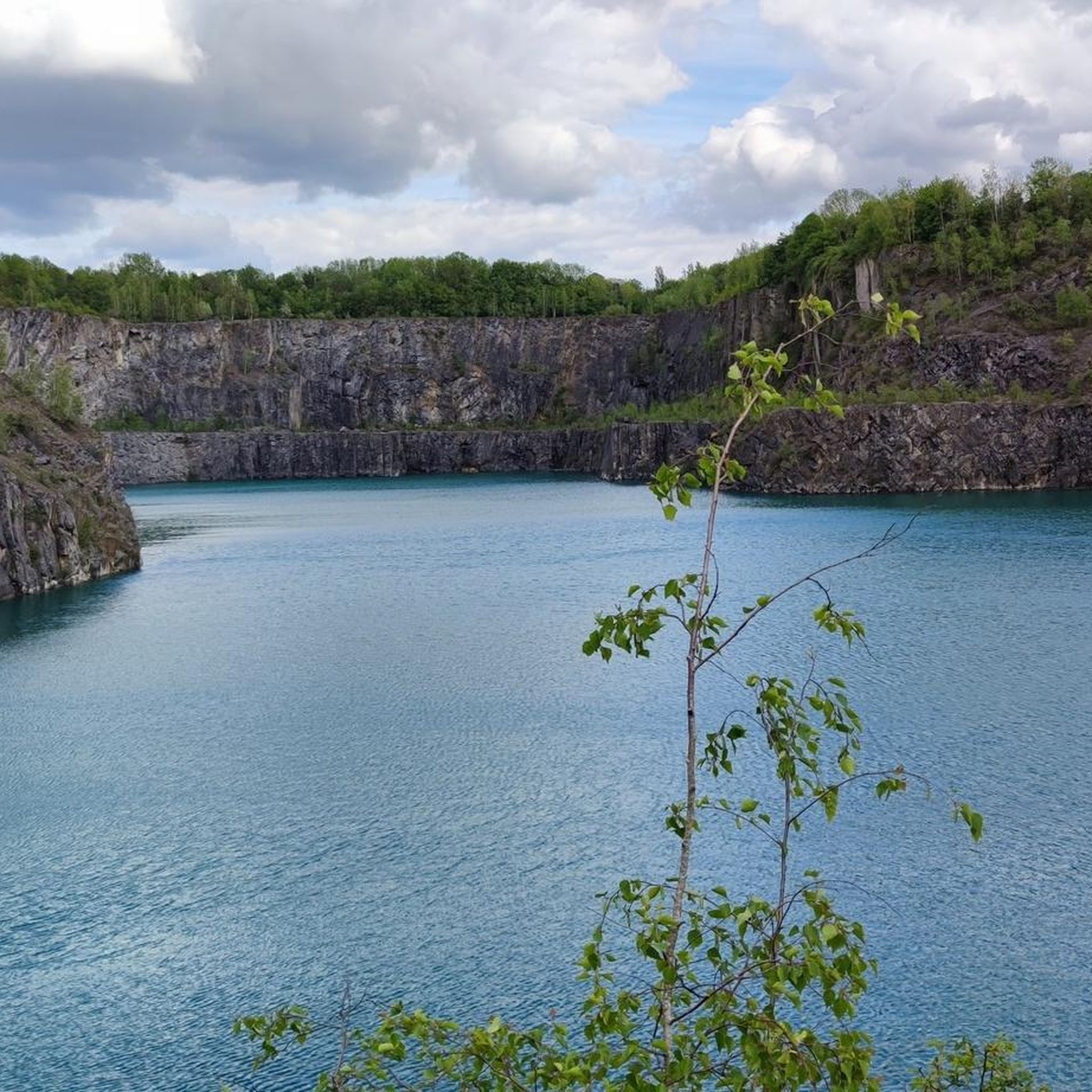
View of the river "L'Eau d'Heure". Superb place, calm, crossing of several directions suitable for hiking.
0
0


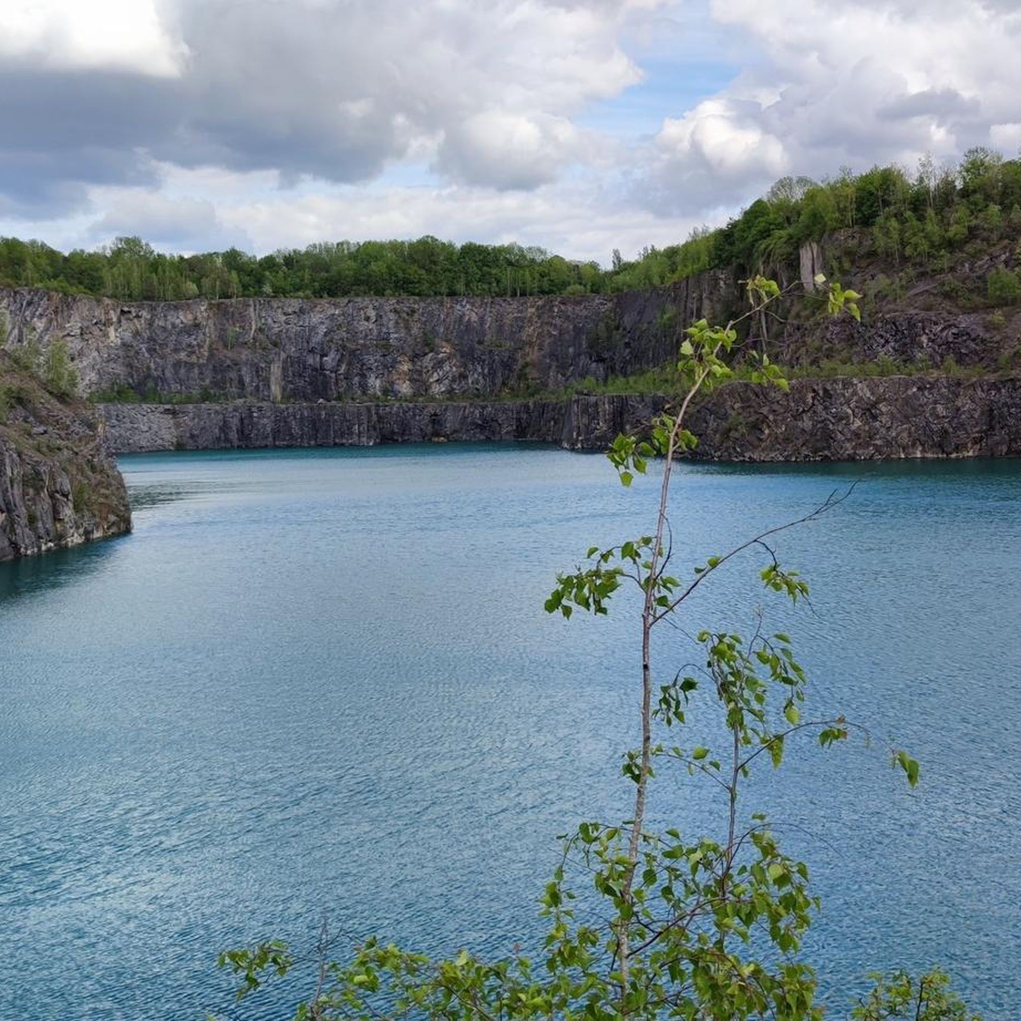
Calm and the sound of the Eau d'Heure
0
0

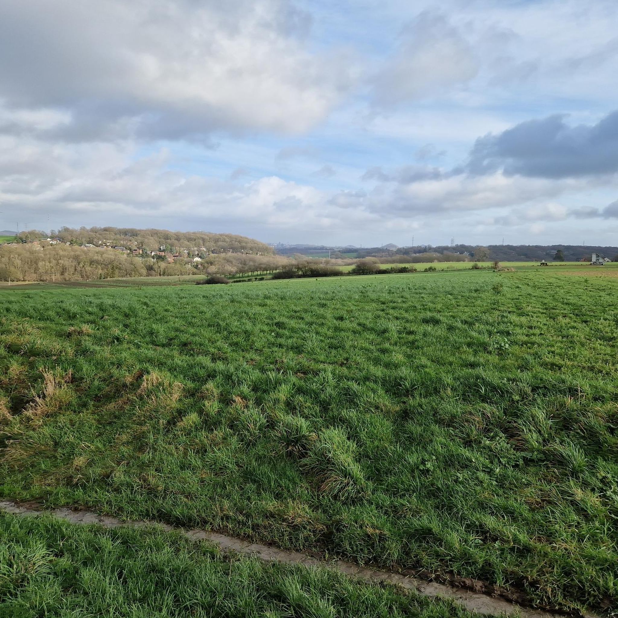
Old Abbey of Aulne, drafty and all. And beautiful, along the Sambre
1
0


Frequently Asked Questions
How many running routes are available in Montigny-Le-Tilleul?
Montigny-Le-Tilleul offers a wide selection of running routes, with over 50 trails documented on komoot. These routes cater to various fitness levels, ranging from easy jogs to more demanding runs with significant elevation changes.
What kind of terrain can I expect on the jogging routes in Montigny-Le-Tilleul?
The region features a diverse topography, perfect for running. You'll find a mix of flat stretches along the serene Sambre River and its tributary, the Eau d'Heure, as well as more challenging, hilly ascents reaching up to 215 meters in the Vésale district. Some areas can be rugged, with rock outcrops, particularly within the deep river valley.
Are there any easy running routes for beginners or casual joggers?
Yes, Montigny-Le-Tilleul provides options for all abilities. While many routes offer a challenge, there are 3 easy routes available, perfect for beginners or those looking for a more relaxed run. These typically feature less elevation gain and shorter distances.
Can I find running routes that pass by historical sites or natural landmarks?
Absolutely. Many routes in Montigny-Le-Tilleul combine natural beauty with historical significance. For instance, the popular Aulne Abbey Ruins – Aulne Abbey Ruins loop from Montigny-le-Tilleul takes you past the ancient Aulne Abbey. You can also explore highlights like the unique Hanging gardens in nearby Thuin or various spoil tips such as Pétria Spoil Tip No. 1 and Piges Spoil Tip, which offer interesting views.
Are there any running routes that offer scenic views or viewpoints?
Yes, the varied landscape provides several opportunities for scenic views. You can find routes that lead to viewpoints like the View from Terril Saint-Charles Sud (Bois du Cazier) or the Terril Calvaire 2 (204m), offering panoramic vistas of the surrounding area.
What do other runners say about the trails in Montigny-Le-Tilleul?
The running routes in Montigny-Le-Tilleul are highly regarded by the komoot community, boasting an average rating of 4.5 stars from 19 reviews. Runners often praise the varied terrain, the picturesque riverside paths, and the challenging ascents found in areas like the Vésale district.
Are there any long-distance running routes for experienced runners?
For experienced runners seeking a challenge, Montigny-Le-Tilleul offers several longer and more difficult routes. For example, the Manual Lock at Aulne Abbey – Aulne Abbey Ruins loop from Landelies spans over 27.5 km with significant elevation gain, providing a substantial workout.
Are there any running trails that go through wooded areas?
Yes, Montigny-Le-Tilleul is home to verdant wooded areas such as Marbaix Wood, which is integrated into several popular running circuits. These provide shaded paths and a refreshing natural environment for your run.
Can I find circular running routes in the Montigny-Le-Tilleul area?
Many of the running routes in the region are designed as loops, allowing you to start and finish at the same point. Examples include the Aulne Abbey Ruins – Aulne Abbey Ruins loop from Montigny-le-Tilleul and the Col de Landelies loop from Montigny-le-Tilleul, offering convenient circular options.
What is the elevation profile like for running in Montigny-Le-Tilleul?
The elevation profile is quite varied. Altitudes range from around 100 meters along the Sambre River to 215 meters in the Vésale district. This means you can find relatively flat riverside paths, but also routes with significant climbs, such as the Technical Descent loop from Montigny-le-Tilleul which features over 300 meters of ascent.
Are there any running routes suitable for a moderate fitness level?
Absolutely. The majority of running routes in Montigny-Le-Tilleul, 32 out of 52, are classified as moderate. These trails offer a good balance of distance and elevation, such as the Col de Landelies loop from Montigny-le-Tilleul, which is 13 km long with over 200 meters of elevation gain.
Most popular routes around Montigny-Le-Tilleul
Most popular attractions around Montigny-Le-Tilleul

Get inspired with the komoot mobile app


Explore more
Browse the best Running Trails & Routes in other regions.
