The best running trails around Braine-L'Alleud
4.6
(97)
3,562
runners
216
runs
Jogging around Braine-L'Alleud offers access to diverse landscapes, from rolling rural areas to expansive ancient forests. The region is characterized by a blend of natural beauty and historical significance, providing varied terrain for runners. Key features include parts of the Sonian Forest and the Bois de Hal, known for their dense woodlands and scenic paths. The area also encompasses historical sites like the Waterloo Battlefield, adding unique backdrops to running routes.
Best jogging routes around Braine-L'Alleud
- The most popular jogging…
Last updated: July 4, 2026
4.4
(5)
172
runners
Hard run. Very good fitness required. Mostly paved surfaces. Suitable for all skill levels.
5.0
(2)
297
runners
Moderate run. Good fitness required. Mostly paved surfaces. Suitable for all skill levels.

Sign up for free
104
runners
Moderate run. Good fitness required. Mostly paved surfaces. Suitable for all skill levels.
5.0
(1)
95
runners
5.22km
00:33
50m
50m
Moderate run. Good fitness required. Mostly paved surfaces. Suitable for all skill levels.
5.0
(3)
92
runners
12.7km
01:23
100m
100m
Moderate run. Good fitness required. Mostly paved surfaces. Suitable for all skill levels.
Get access to more routes and recommendations from other explorers.
Sign up for free
Already have an account?
Our route recommendations are based on thousands of hikes, rides, and runs completed by other people on komoot.
Start today with a free account
Your next adventure awaits.
Login or Signup
Popular around Braine-L'Alleud
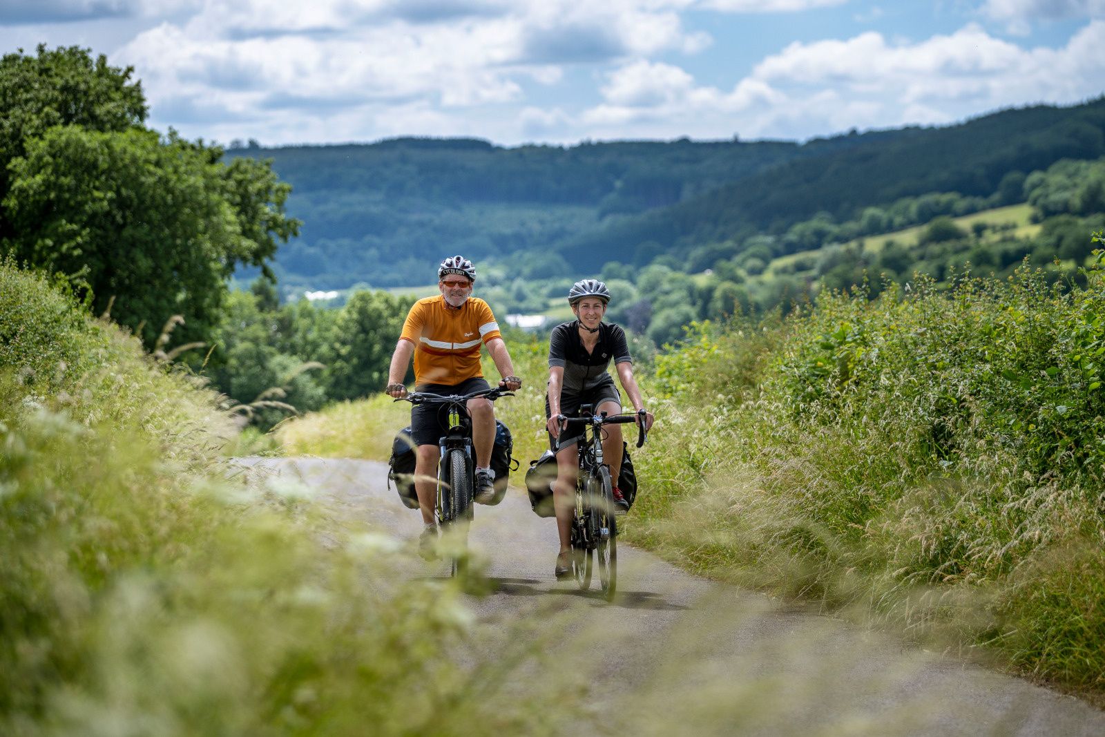
The most beautiful bike rides in Wallonia – pure nature and culture
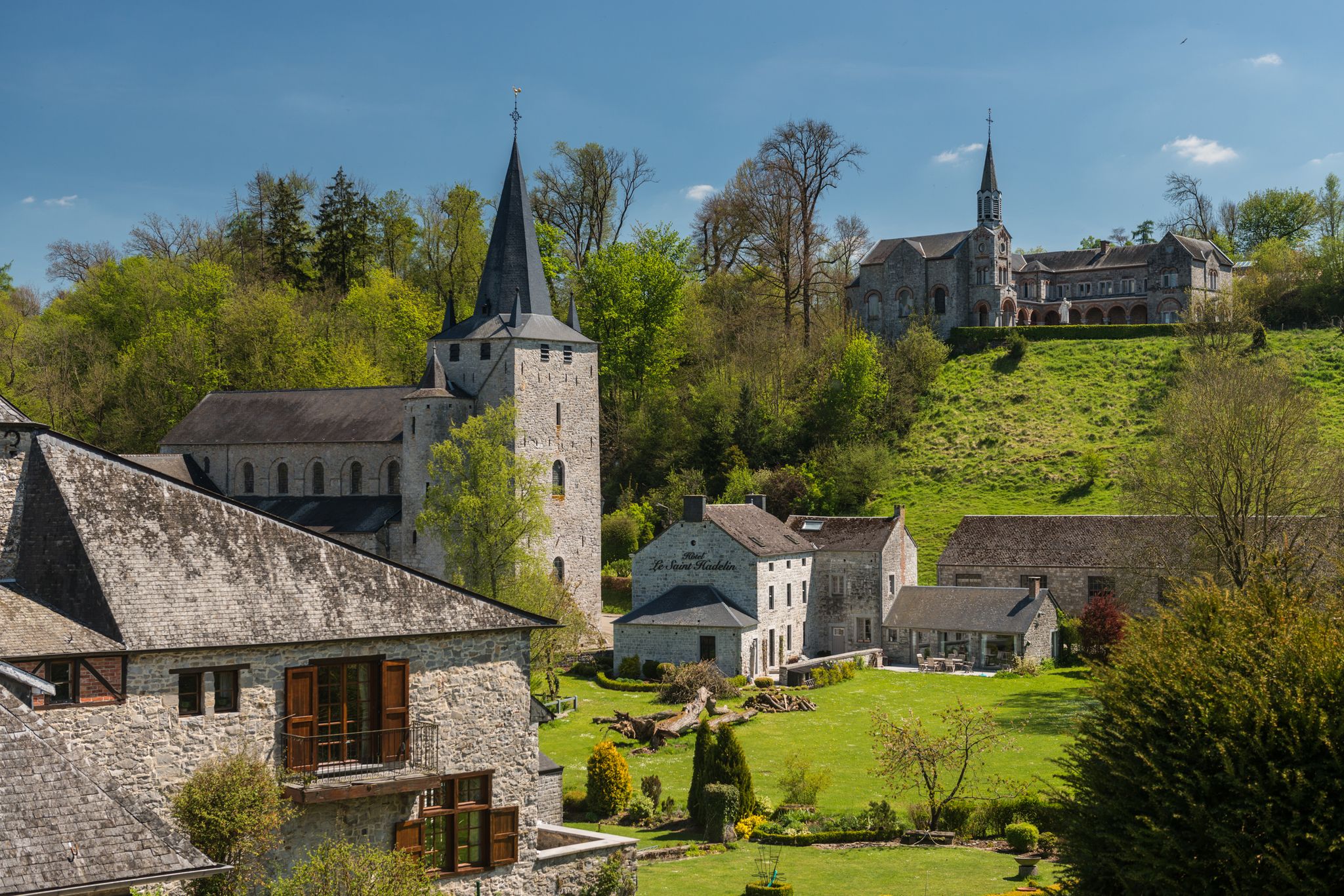
Walks in the Belgian Ardennes — historic walls & magical forests
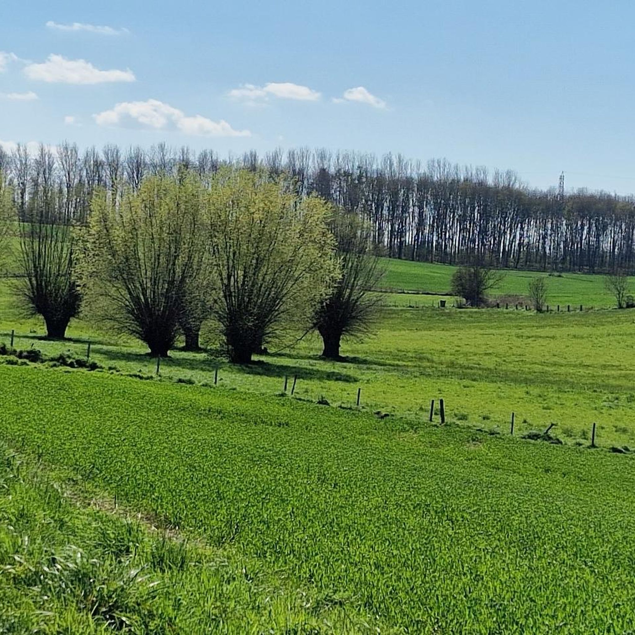
Hiking around Braine-L'Alleud
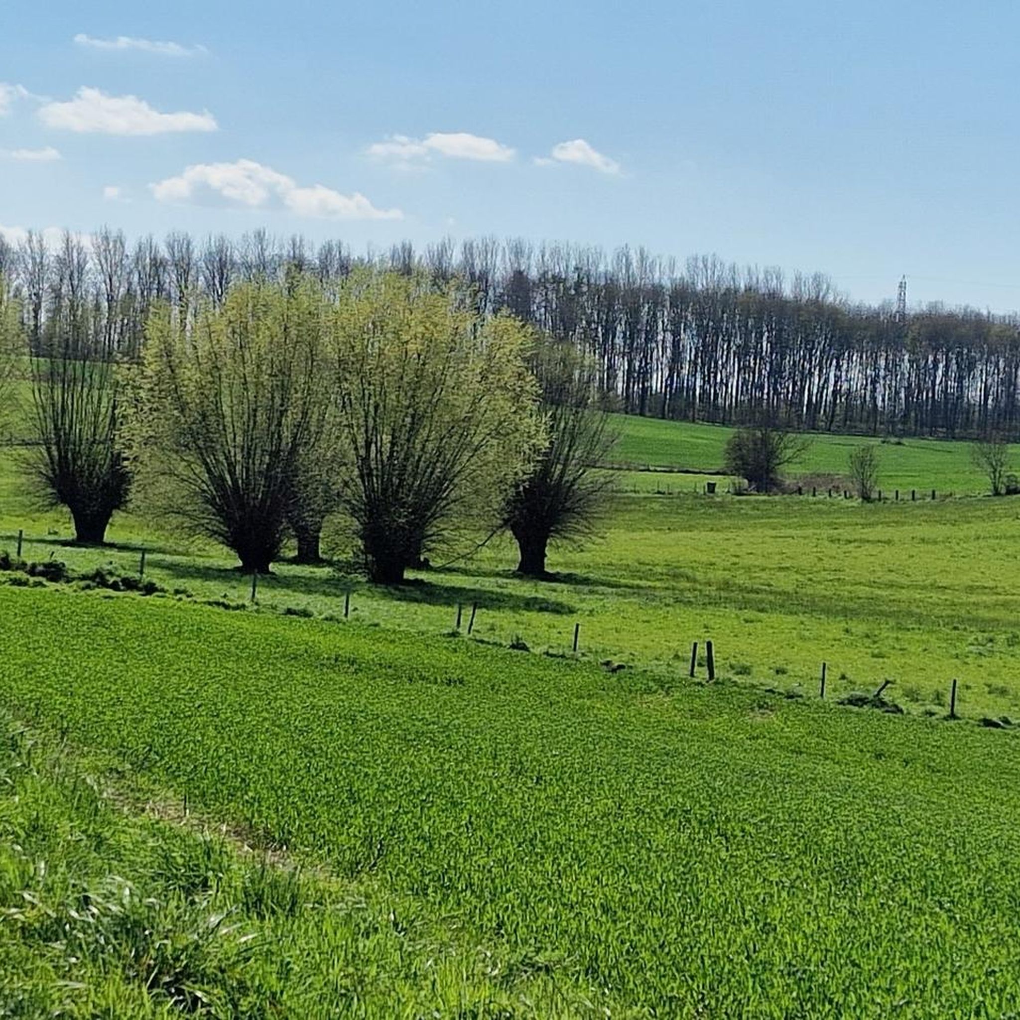
Road Cycling Routes around Braine-L'Alleud
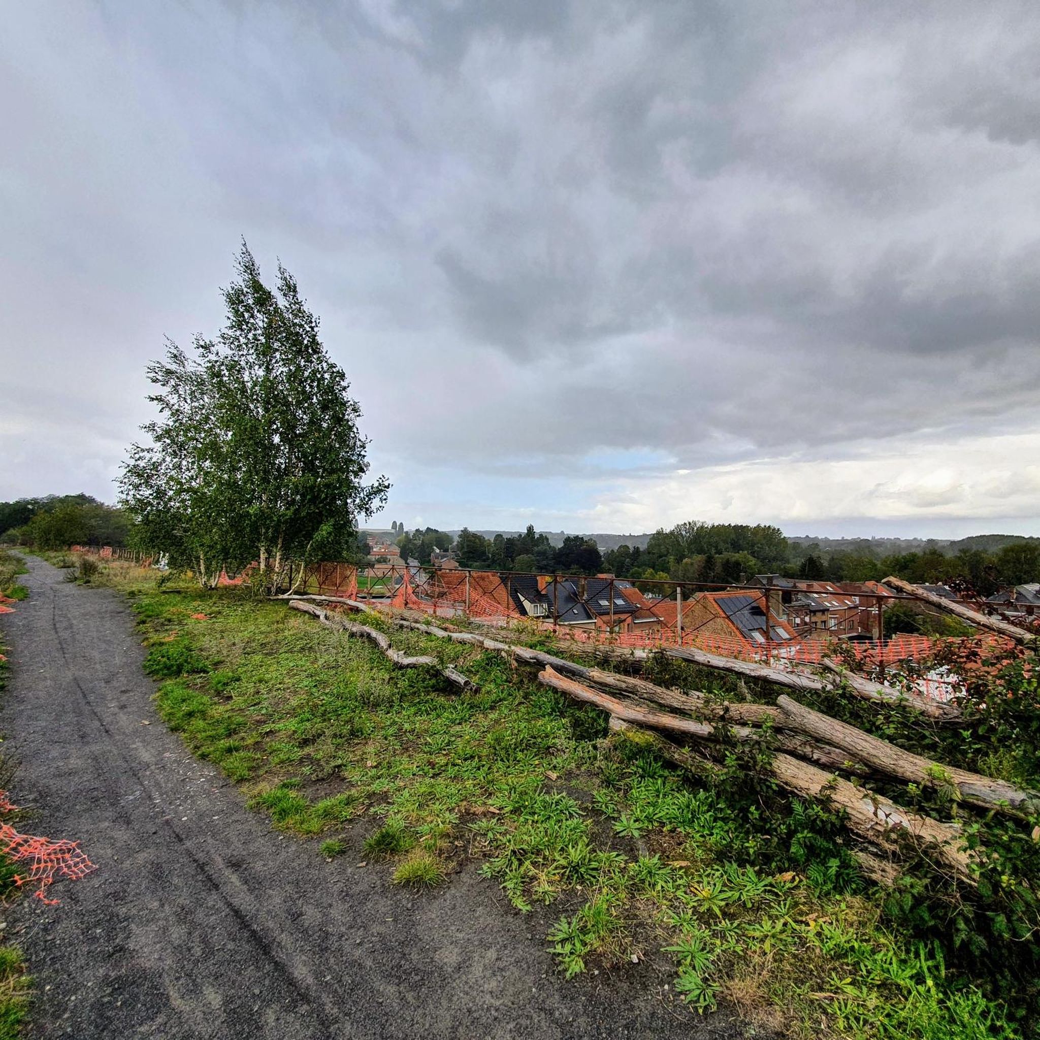
Cycling around Braine-L'Alleud
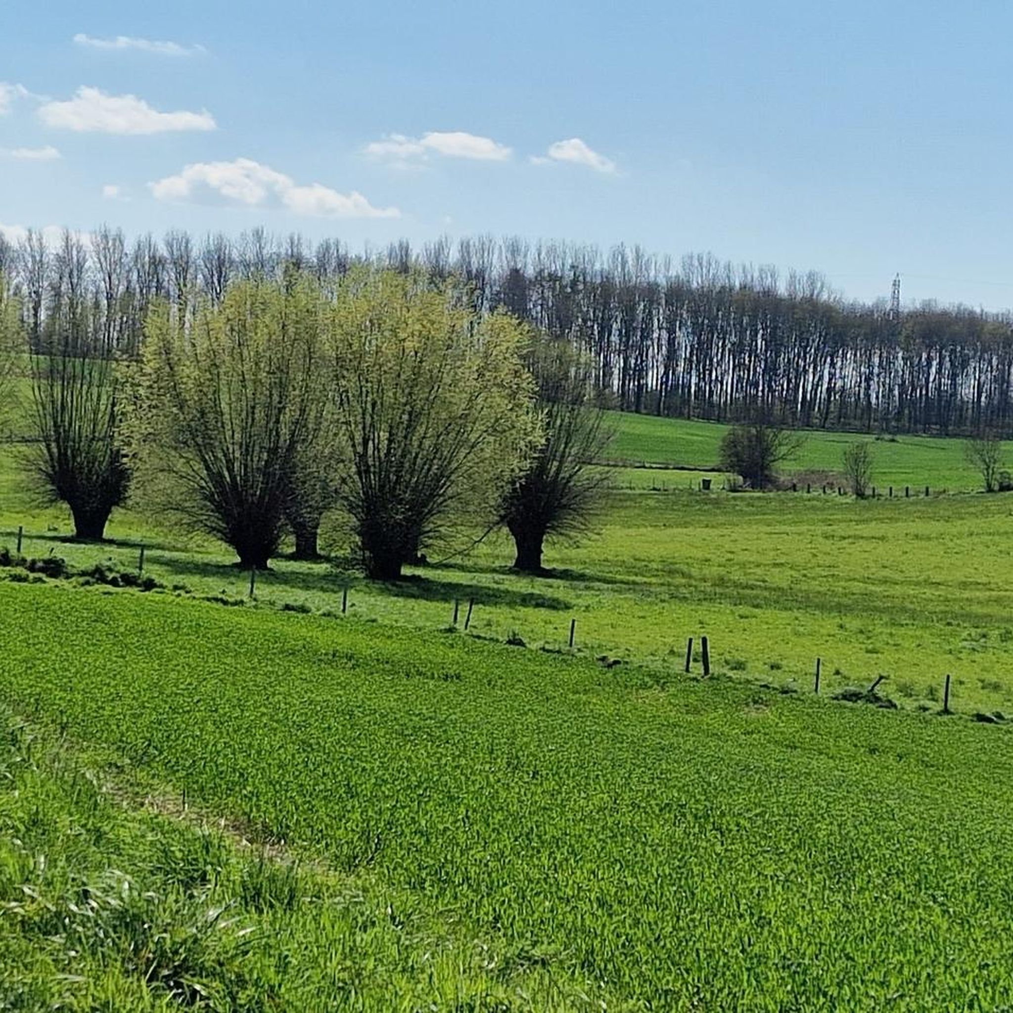
MTB Trails around Braine-L'Alleud

Gravel biking around Braine-L'Alleud

Mountain Hikes around Braine-L'Alleud

Tips from the Community

Fairly well marked, one or two nice climbs.
0
0

The Hallerbos (French: Bois de Hal) is a forest with an area of 552 ha southeast of Halle (511 ha on Halle territory). The forest is largely owned by the Flemish Region and a small part by the Walloon Region and private properties. The Hallerbos is a quiet recreation area, which is highly appreciated by the population of the surrounding highly urbanized areas. It is very accessible thanks to the many paths, and for an introduction there are three hiking trails. The forest is part of the Flemish Ecological Network, has been a Flemish nature reserve since 2021 and is protected in Europe as a Natura 2000 area 'Hallerbos and nearby forest complexes with source areas and heaths' (BE2400009) (together with other sub-areas such as the Markvallei, Zuunvallei with the Gaasbeek domain, De Wolfsputten, Kesterbeekvallei, Kesterheide, the Terrijst forest reserve, Lembeekbos, Zevenbronnen, Gasthuisbos, Begijnenbos). Since 2023, the forest has been part of the Brabantse Wouden National Park.
0
0
The Hallerbos (French: Bois de Hal) is a forest with an area of 552 ha southeast of Halle (511 ha on Halle territory). The forest is largely owned by the Flemish Region and a small part by the Walloon Region and private properties. The Hallerbos is a quiet recreation area, which is highly appreciated by the population of the surrounding highly urbanized areas. It is very accessible thanks to the many paths, and for an introduction there are three hiking trails. The forest is part of the Flemish Ecological Network, has been a Flemish nature reserve since 2021 and is protected in Europe as a Natura 2000 area 'Hallerbos and nearby forest complexes with source areas and heaths' (BE2400009) (together with other sub-areas such as the Markvallei, Zuunvallei with the Gaasbeek domain, De Wolfsputten, Kesterbeekvallei, Kesterheide, the Terrijst forest reserve, Lembeekbos, Zevenbronnen, Gasthuisbos, Begijnenbos). Since 2023, the forest has been part of the Brabantse Wouden National Park.
1
0

This forest is known for its impressive nature and spectacular blooming of bluebells in spring. Although it is mainly famous for its floral splendor, the Hallerbos also offers excellent terrain for mountain bikers looking for a challenging and scenic route.
0
0
The route between Lille and the open countryside takes you through a typical Flemish landscape of meadows, cornfields and arable land.
1
0

View of the endless fields...
1
0

This is the "Echtdreven" and indeed eight lanes meet here! A special place. 1. Zwarte Notelaarsdreef; 2. Lorkensdreef; 3. Platanendreef; 4. Vlasmarktdreef; 5. Zwarte Notelaarsdreef (the extension) 6. Lindendreef; 7. Platanendreef (extended) 8. Vlasmarktdreef (extended)
8
0

Frequently Asked Questions
How many running routes are available around Braine-l'Alleud?
There are over 210 running routes available around Braine-l'Alleud, catering to various skill levels and preferences. You'll find everything from easy jogs to more challenging long-distance trails.
Are there any easy or beginner-friendly running routes in Braine-l'Alleud?
Yes, Braine-l'Alleud offers several easy running routes suitable for beginners. There are 11 routes specifically classified as easy, providing gentle paths through the region's scenic landscapes. For example, the Running loop from Merbraine is a moderate option that is not overly challenging.
Where can I find long-distance running trails in the area?
For longer runs, the region boasts extensive routes through its ancient forests. The Bluebell Forest Walk – Among the Beeches loop from Sart-Moulin is a challenging 23.1 km trail that offers extensive forest running. The Sonian Forest, which extends into the surrounding areas, also provides numerous trails ideal for longer distances.
Are there running routes with historical significance or interesting landmarks?
Absolutely! Braine-l'Alleud is rich in history. You can run through the iconic Waterloo Battlefield area on routes like the Monument to the Belgians – The Lion's Mound loop from Braine-l'Alleud. This 16.2 km trail leads through historical landscapes, offering a unique backdrop to your run. You can also find castles such as Château de La Hulpe and Domaine Solvay nearby.
What do other runners enjoy most about jogging in Braine-l'Alleud?
The komoot community highly rates the running experience in Braine-l'Alleud, with an average score of 4.6 stars from over 90 reviews. Runners often praise the diverse terrain, from rolling rural landscapes to the serene ancient forests like the Bois de Hal, and the unique historical sites that provide varied and engaging routes.
Are there any circular running routes available?
Yes, many of the running routes in Braine-l'Alleud are circular, allowing you to start and end at the same point. For example, the View of the Countryside Fields – Dirt Path on the Plateau loop from Lillois is a popular 12.8 km circular path featuring open fields and plateau views.
Can I find running trails that are suitable for families?
While specific 'family-friendly' classifications aren't always explicit, many of the easier and moderate routes through parks or less rugged forest areas would be suitable for families. Parc de la Dodaine within Braine-l'Alleud offers large green spaces and playgrounds, making it a pleasant environment for a relaxed family jog or stroll.
Are there any dog-friendly running trails in Braine-l'Alleud?
Many of the natural trails and forest paths in areas like the Bois de Hal and Sonian Forest are generally dog-friendly, provided dogs are kept under control, often on a leash, and local regulations are respected. These expansive natural areas offer plenty of space for you and your canine companion to enjoy a run together.
Are there running routes with good parking access?
Yes, many routes, especially those starting from popular trailheads or near towns, offer convenient parking. When planning your run, check the route details on komoot for specific starting points and parking information. Routes originating from areas like Sart-Moulin or Lillois often have accessible parking options.
What kind of natural landscapes can I expect to see while running in Braine-l'Alleud?
Braine-l'Alleud offers a rich variety of natural landscapes. You'll encounter rolling rural scenery with traditional Brabant farms, ancient forests such as the Bois de Hal (famous for its bluebells in spring) and the Sonian Forest, and the picturesque restored lake in Bois des Bruyères. These diverse settings provide beautiful and ever-changing backdrops for your runs.
Are there any challenging running routes for experienced runners?
Experienced runners will find plenty of challenging options. With 27 routes classified as difficult, you can test your endurance. The Bluebell Forest Walk – Among the Beeches loop from Sart-Moulin, at 23.1 km with significant elevation gain, is a prime example. The Bois des Bruyères also features rugged terrain suitable for more adventurous runners.
Can I reach running trails using public transport?
While specific public transport links to every trailhead vary, Braine-l'Alleud is well-connected, and many routes are accessible from or near urban centers. It's advisable to check local bus or train schedules to see which routes are most conveniently reached by public transport, especially for trails closer to the town center or larger villages.
Most popular routes around Braine-L'Alleud
Most popular attractions around Braine-L'Alleud

Get inspired with the komoot mobile app


Explore more
Browse the best Running Trails & Routes in other regions.
