The best walks and hikes around Vachdorf
4.6
(2237)
7,207
hikers
21
hikes
Hiking around Vachdorf offers access to diverse natural landscapes on the edge of the Thuringian Forest. The region is characterized by dense forests, rolling hills, and the scenic Werra valley. This varied terrain provides a range of routes suitable for different skill levels.
Best hiking trails around Vachdorf
- The most popular hiking route is Old Vachdorf Station – Vachdorf Fortified Church loop from Vachdorf, a 2.6 miles (4.2 km) trail that takes 1 hour 15 minutes to complete, connecting…
Last updated: October 4, 2026
4.5
(2)
8
hikers
6.43km
01:46
100m
100m
Easy hike. Great for any fitness level. Easily-accessible paths. Suitable for all skill levels.
5.0
(2)
8
hikers
10.3km
02:54
210m
210m
Moderate hike. Good fitness required. Easily-accessible paths. Suitable for all skill levels.

5.0
(1)
7
hikers
Easy hike. Great for any fitness level. Easily-accessible paths. Suitable for all skill levels.
5.0
(2)
7
hikers
6.83km
01:54
130m
130m
Easy hike. Great for any fitness level. Easily-accessible paths. Suitable for all skill levels.
4.0
(2)
10
hikers
8.31km
02:13
100m
100m
Moderate hike. Good fitness required. Easily-accessible paths. Suitable for all skill levels.
Get access to more routes and recommendations from other explorers.
Already have an account?
Our route recommendations are based on thousands of hikes, rides, and runs completed by other people on komoot.
Start today with a free account
Your next adventure awaits.
Tips from the Community

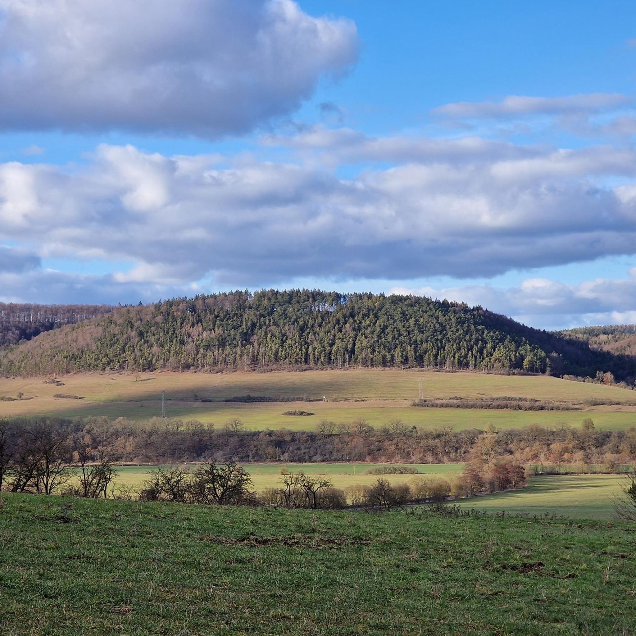
With a view of the Gleichberge mountains
4
0

Rock formation between Leutersdorf and Vachdorf.
2
0
An interesting group of buildings, distinctive for Leutersdorf.
0
0

The classroom in the green and with stamp spot👍 that was a nice tour with many great impressions and great paths 😊
1
0

Wonderful little things along the way
0
0

The church fortress has been beautifully renovated. And if there is anyone there who can open the door, please take a look inside the church.
1
0

someone had fun decorating, and "here you can kiss (almost) unnoticed"
2
0

A seemingly private artist has gone wild throughout the Long Valley and left behind some lovely sayings as well as various types of artwork. It's worth exploring and keeping your eyes open!
0
0
Frequently Asked Questions
How many hiking trails are available around Vachdorf?
Vachdorf offers a diverse network of over 20 hiking trails. These routes cater to various preferences, with options ranging from easy strolls to more challenging treks through the region's varied terrain.
What is the best time of year to go hiking in Vachdorf?
The optimal seasons for hiking in Vachdorf are spring and autumn. During these times, the natural scenery is particularly vibrant with colors, and temperatures are pleasantly mild, making for ideal hiking conditions.
What are the difficulty levels of hikes in Vachdorf?
The hiking trails around Vachdorf offer a good mix of difficulty levels. You'll find approximately 9 easy routes, 11 moderate routes, and 1 more challenging trail, ensuring there's something suitable for every hiker's experience level.
Are there any family-friendly hiking trails in Vachdorf?
Yes, Vachdorf is home to the 'Fairytale Trail,' which is specifically designed to be family-friendly and perfect for those hiking with children. Additionally, many of the easy routes, such as the Inn at Vachdorf Station – Vachdorf Fortified Church loop from Vachdorf, offer gentle paths suitable for families.
Can I find circular hiking routes in Vachdorf?
Absolutely. Many of the trails in Vachdorf are circular, allowing you to start and end at the same point. Examples include the local 'Celtic circular trail' and the Gökersacker Rooster Sculpture – Old Vachdorf Station loop from Vachdorf, which offers beautiful viewpoints over the Werra valley.
Are there long-distance hiking trails accessible from Vachdorf?
Vachdorf serves as an excellent gateway to several significant long-distance trails. You can access sections of the historic Rennsteig, the extensive 'Celtic adventure route,' and the scenic Werra-Burgen-Steig, which includes routes like the 'Grimmenthal-Vachdorf' section.
What natural features can I expect to see while hiking in Vachdorf?
The region around Vachdorf is characterized by its impressive and diverse natural landscapes. Hikers can expect to encounter dense forests, rolling hills, and the idyllic river courses of the Werra valley, providing a scenic backdrop for your adventures.
Are there any historical sites or landmarks to explore on hikes around Vachdorf?
Yes, Vachdorf and its surroundings are rich in historical sites. You can explore the historic Kirchenburg Vachdorf, a fortified church, or visit the Artificial ruins in the English Garden, Meiningen. The Old Vachdorf Station – Vachdorf Fortified Church loop from Vachdorf connects some of these historic sites.
Where can I find good viewpoints during my hike?
For stunning vistas, consider routes that traverse the rolling hills overlooking the Werra valley. The 'Circular hike - The Krayen - Vachdorf' is known for its beautiful viewpoints. Additionally, the Old Vachdorf Station – Werra Bridge in Vachdorf loop from Vachdorf offers picturesque spots along the river.
Are there dog-friendly hiking options in Vachdorf?
While specific dog-friendly designations vary by trail, the natural landscape of Vachdorf, with its forests and open paths, generally welcomes dogs. It's always recommended to keep dogs on a leash and follow local regulations, especially in nature reserves or near livestock.
What do other hikers enjoy the most about hiking in Vachdorf?
The hiking experience in Vachdorf is highly rated by the komoot community, with an average score of 4.6 stars from over 480 reviews. Hikers often praise the diverse terrain, the scenic beauty of the Werra valley, and the well-maintained paths that lead through dense forests and rolling hills.
Are there any notable peaks or summits accessible from Vachdorf?
Yes, several notable peaks are within reach. You can explore highlights like the Dolmar Summit Cross or the Schneeberg Summit and Shelter. These offer rewarding views and a sense of accomplishment for those seeking higher ground.
Can I find trails that pass by lakes or water features?
Yes, the region includes beautiful water features. You can hike along the Path Along the Untermaßfeld Fish Ponds or visit the tranquil Dreisbachteich. These spots offer peaceful natural settings for a break.
Most popular attractions around Vachdorf

Get inspired with the komoot mobile app


Explore more
Browse the best Hikes in other regions.
