The best walks and hikes around Wetteren
4.4
(777)
3,704
hikers
171
hikes
Hiking around Wetteren offers diverse landscapes, characterized by the meandering Scheldt River, tranquil forest areas, and unique sandy dunes. The region features varied terrain, from the marshy grasslands and swamp forests along the Molenbeek stream to the slightly elevated areas around Massemen. These natural features provide a range of hiking experiences, from riverside paths to woodland trails.
Best hiking trails around Wetteren
- The most popular hiking route is Stuifduin Hiking Trail, a 6.5 miles (10.5 km) trail that takes…
Last updated: June 23, 2026
4.5
(39)
207
hikers
10.5km
02:40
20m
20m
Explore the diverse Stuifduin hiking route, a 6.5-mile moderate hike through marshy grasslands, sandy dunes, and along the Schelde river.
4.6
(152)
543
hikers
Moderate hike. Good fitness required. Easily-accessible paths. Suitable for all skill levels.

Sign up for free
4.5
(153)
464
hikers
15.5km
03:57
50m
50m
Moderate hike. Good fitness required. Easily-accessible paths. Suitable for all skill levels.
4.6
(32)
144
hikers
Moderate hike. Good fitness required. Easily-accessible paths. Suitable for all skill levels.
4.6
(23)
103
hikers
25.5km
06:27
50m
50m
Hard hike. Very good fitness required. Easily-accessible paths. Suitable for all skill levels.
Get access to more routes and recommendations from other explorers.
Sign up for free
Already have an account?
Our route recommendations are based on thousands of hikes, rides, and runs completed by other people on komoot.
Start today with a free account
Your next adventure awaits.
Login or Signup

Tips from the Community

Kijktoren Schellebelle; a viewing platform at the intersection of Tragelweg and Blokstraat offers you a unique view of the Kalkense Meersen. At this point, the Tragelpad with the old Scheldearm meets the Blokstraat, forming the nerve center of the recreational routes.
0
0

The viewing platform, strategically located at the intersection of the four municipalities that form the Kalkense Meersen, not only offers stunning views of the green landscape and the old Scheldt arm, but also allows visitors to observe the landscape's evolution over the years. According to Michaël Crapoen of Natuurpunt Scheldeland, the platform is a real asset because it offers the opportunity to experience nature from a different perspective. In addition, numerous recreational cycling and walking routes converge here. (Scheldt Valley National Park)
12
1
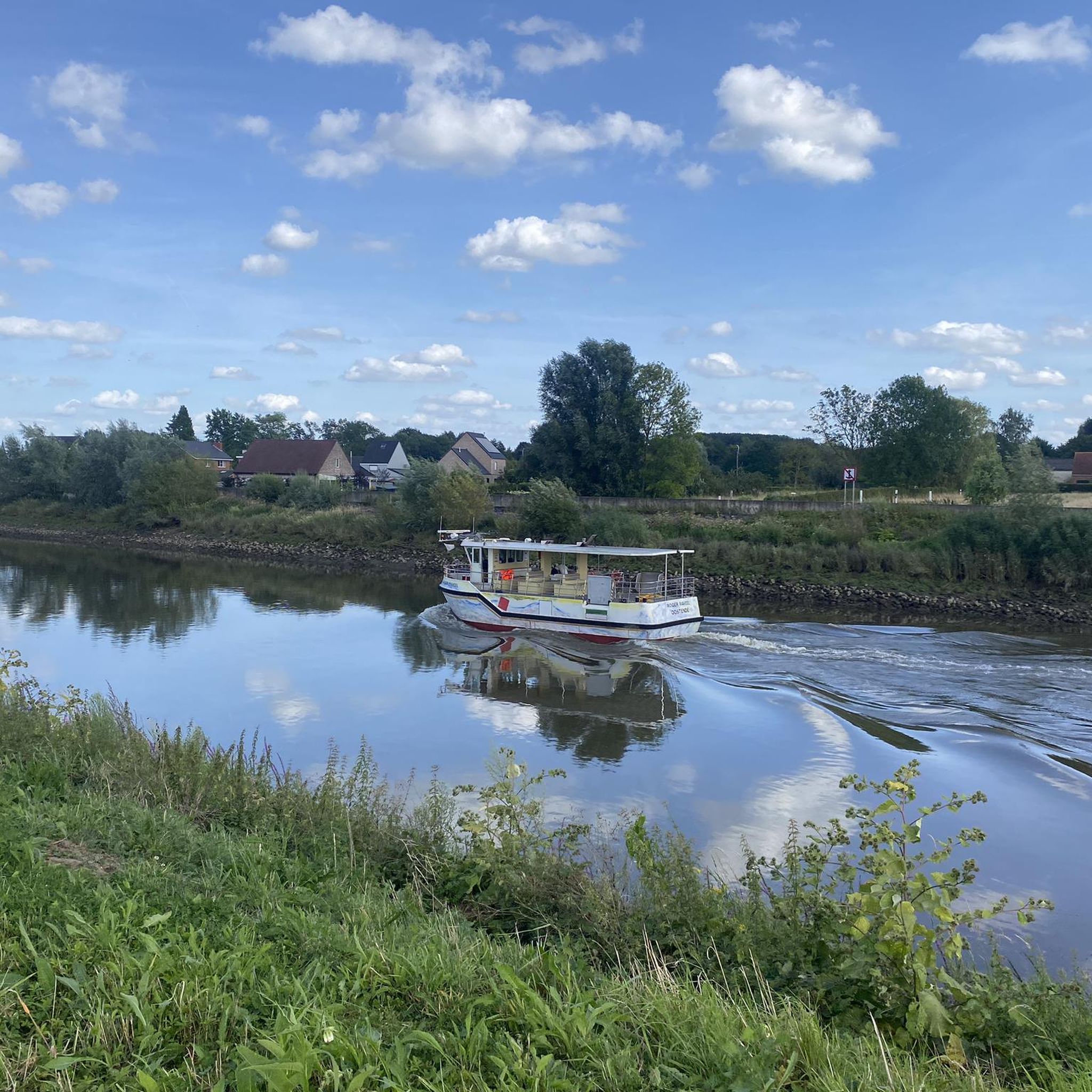
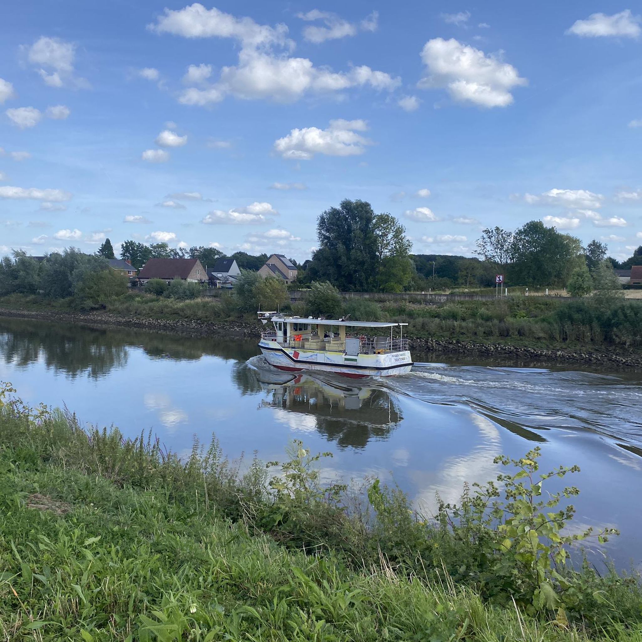
The ferry of Schellebelle is one of the oldest crossings on the Lower Scheldt or Sea Scheldt. The ferry is said to have been created at the beginning of the 13th century after the Scheldt course was changed, cutting off the rural district of Aard from Schellebelle. In 1798, the ferry became the property of the state. (Vzw 't Veer)
14
0
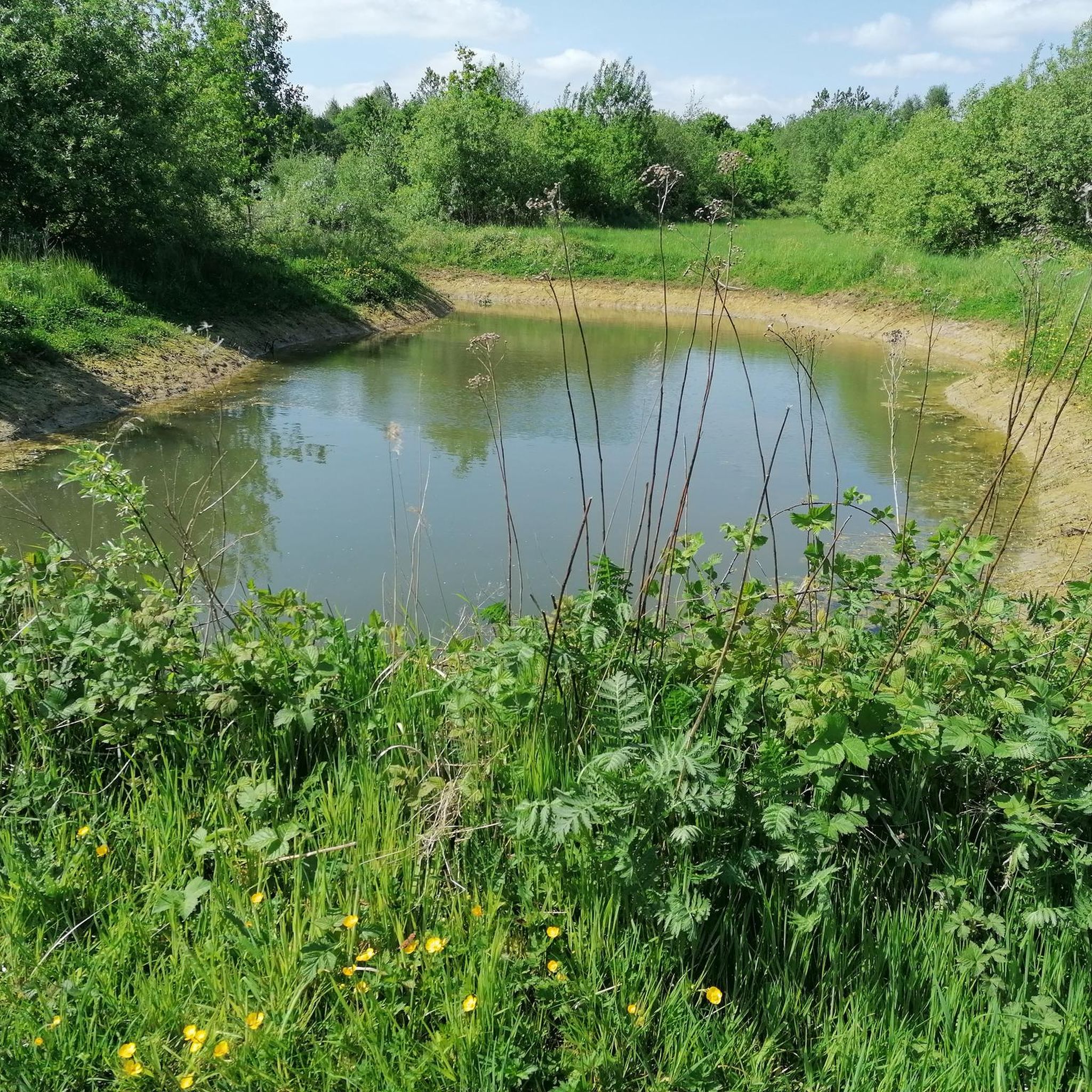
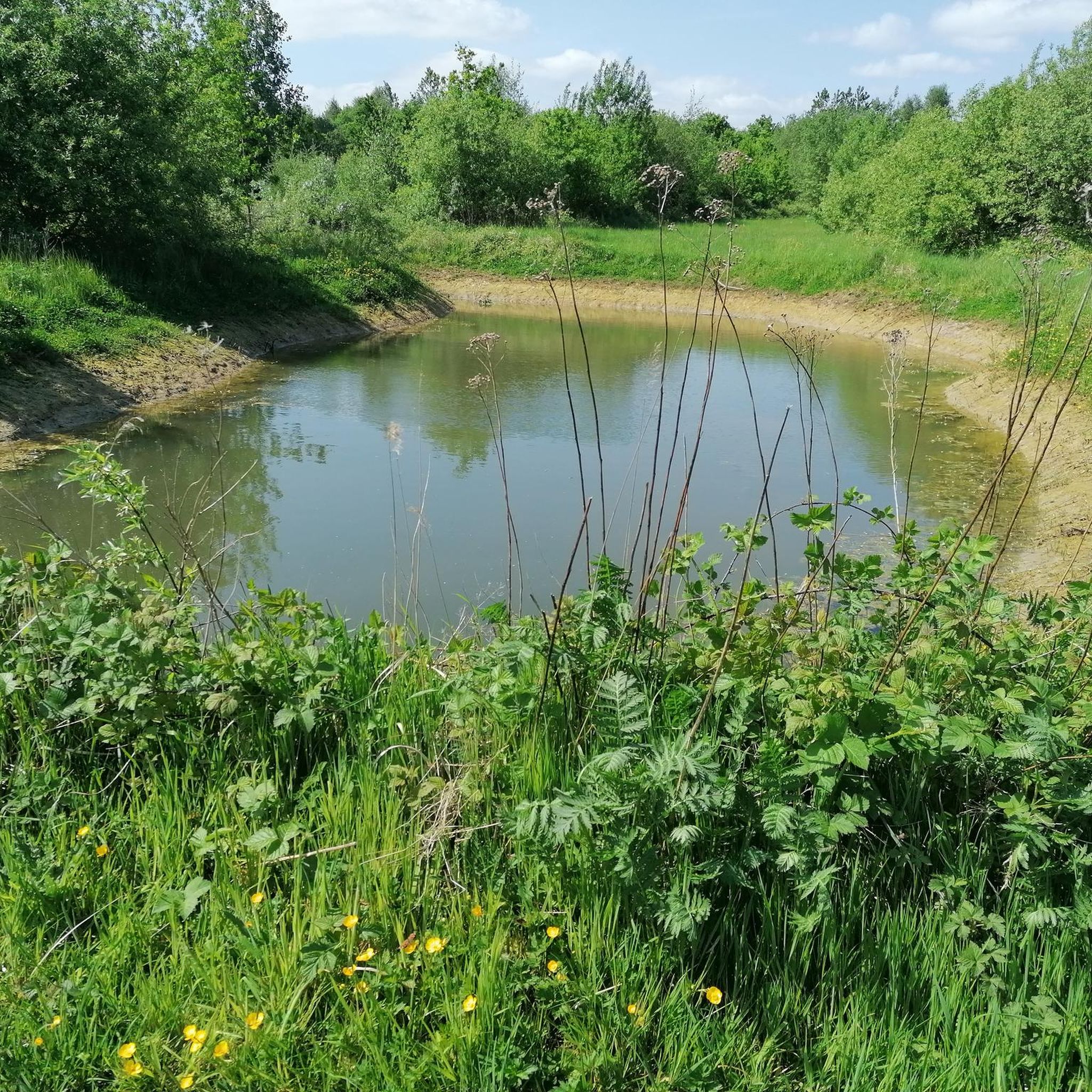
Controlled flood area ... is an area next to the river that can absorb large amounts of water at high water levels. For this purpose, we are building a ring dike inland that protects the region. Along the river is a lower, reinforced overflow dike, over which water can flow into the area without damaging the dike. Locks in the overflow dike allow the water to flow back to the river when the water level of the Scheldt has dropped sufficiently. We have designed the area within the dikes as wetlands full of diversity. (Sigma plan)
12
0

Very nice long boardwalk in a swampy environment
2
0
Beautiful and quiet surroundings
1
1
Beautiful forest beautiful boardwalk
2
0
Frequently Asked Questions
How many hiking trails are available around Wetteren?
Wetteren offers a wide variety of hiking experiences, with over 165 routes available. These range from easy strolls to more challenging treks, ensuring there's something for every hiker.
Are there easy hiking routes suitable for beginners in Wetteren?
Yes, Wetteren is very beginner-friendly, with 115 easy routes available. These trails often feature gentle terrain and shorter distances, perfect for a relaxed outdoor experience.
What kind of landscapes can I expect to see while hiking in Wetteren?
Wetteren's landscape is incredibly diverse. You can expect to see the meandering Scheldt River, tranquil forest areas like Molenbeekbos and Hospiesbos, and unique sandy dunes. The region also features marshy grasslands and varied terrain around Massemen.
Are there any family-friendly hiking options in Wetteren?
Many of the 115 easy routes in Wetteren are suitable for families. These trails often pass through scenic and safe areas, providing an enjoyable experience for all ages. Look for routes with shorter distances and minimal elevation gain.
Can I find circular hiking routes in Wetteren?
Yes, many of the trails in Wetteren are designed as circular routes, allowing you to start and end at the same point. An example is the Walking trail along the Molenbeek – Maelbroekmolen loop from Wetteren, which takes you through Molenbeekbos.
Are there any trails that follow the Scheldt River?
Absolutely. The Scheldt River is a defining feature of the region. The Stuifduin Hiking Trail is a popular route that follows the river, offering views of marshy grasslands and sandy dunes. Another option is the Meandering Old Scheldt – Ring dike loop from Wetteren.
Where can I experience forest hiking in Wetteren?
For a peaceful forest experience, Molenbeekbos is a popular spot with well-marked paths. Another excellent choice is the Boardwalk Trail – Hospiesbos loop from Wetteren, which leads through the beautiful Hospiesbos.
Are there any unique natural features like sand dunes to explore?
Yes, Wetteren features unique sandy dunes. The Stuifduin Hiking Trail incorporates these dunes along the Scheldt River. For a more challenging experience, De Warandeduinen trail also takes you through sand dunes and coastal forests near Lake Warande.
What are some interesting natural attractions or landmarks to see near the hiking trails?
While hiking, you can explore several natural attractions. Highlights include the Meandering Old Scheldt, the serene Damvallei Lake, and the picturesque Kalkense Meersen nature reserve. You might also encounter the Aelmoeseneiebos Stream and Wooden Bridge.
What do other hikers say about the trails in Wetteren?
The hiking trails in Wetteren are highly regarded by the komoot community, with an average rating of 4.4 stars from over 550 reviews. Hikers often praise the diverse landscapes, from riverside paths to tranquil forests, and the variety of routes suitable for different skill levels.
Are there any longer or more challenging hikes for experienced hikers?
For experienced hikers seeking a challenge, Wetteren offers 3 difficult routes. An example is the Meandering Old Scheldt – Ring dike loop from Wetteren, which covers a longer distance and features more elevation changes.
Is it possible to reach hiking trails in Wetteren using public transport?
While specific public transport connections to all trailheads are not detailed, some areas like Kalkense Meersen are accessible. You can park in Schellebelle and take a free ferry to explore this nature reserve, suggesting some level of accessibility to the region's natural spots.
Most popular attractions around Wetteren

Get inspired with the komoot mobile app


Explore more
Browse the best Hikes in other regions.
