The best road cycling routes around Utzenfeld
4.8
(133)
3,127
riders
55
rides
Road cycling routes around Utzenfeld navigate a landscape characterized by hilly terrain, mountain passes, and forested valleys within the Black Forest region. The area features notable climbs and descents, with routes often traversing through small villages and offering views of the surrounding natural environment. Road cyclists can expect varied elevation profiles, including significant ascents over passes like Feldberg and Wiedener Eck.
Best road cycling routes around Utzenfeld
- The most popular road cycling route is Feldberg Pass – Wacht Pass loop…
Last updated: July 5, 2026
4.8
(12)
230
riders
51.7km
02:50
1,090m
1,090m
Hard road ride. Very good fitness required. Mostly well-paved surfaces and easy to ride.
5.0
(5)
137
riders
41.2km
02:28
1,070m
1,070m
Hard road ride. Very good fitness required. Mostly well-paved surfaces and easy to ride.

Sign up for free
4.9
(8)
207
riders
71.8km
03:41
1,150m
1,150m
Hard road ride. Very good fitness required. Mostly well-paved surfaces and easy to ride.
4.8
(4)
159
riders
54.9km
03:26
1,550m
1,550m
Hard road ride. Very good fitness required. Mostly well-paved surfaces and easy to ride.
5.0
(8)
96
riders
62.4km
03:12
1,070m
1,070m
Hard road ride. Very good fitness required. Mostly well-paved surfaces and easy to ride.
Get access to more routes and recommendations from other explorers.
Sign up for free
Already have an account?
Our route recommendations are based on thousands of hikes, rides, and runs completed by other people on komoot.
Start today with a free account
Your next adventure awaits.
Login or Signup
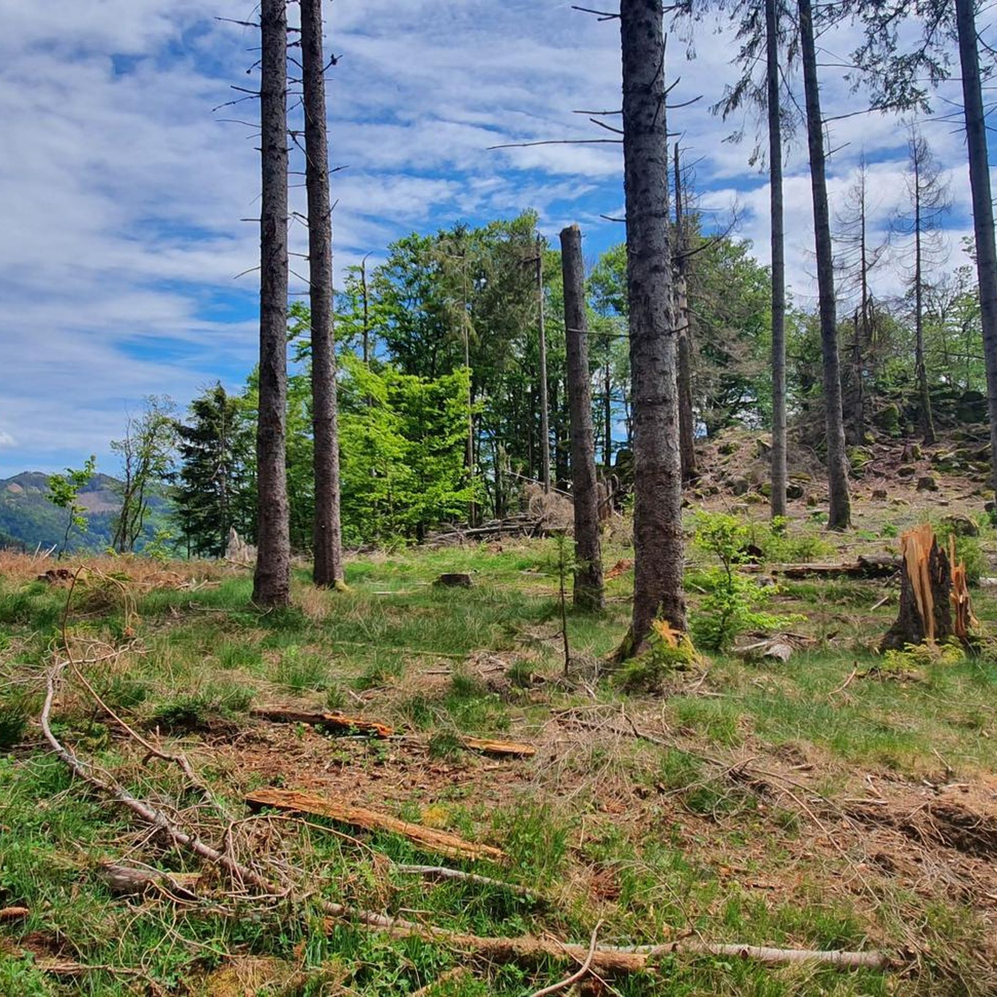
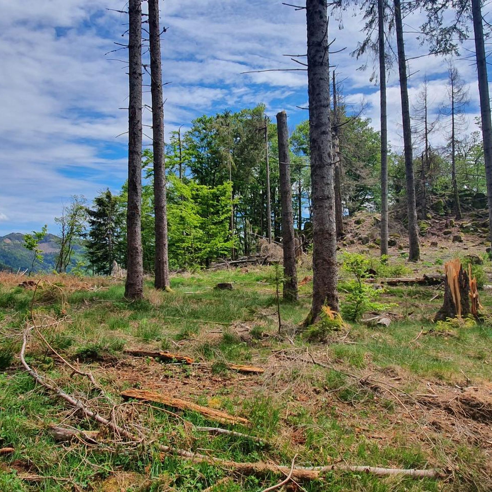
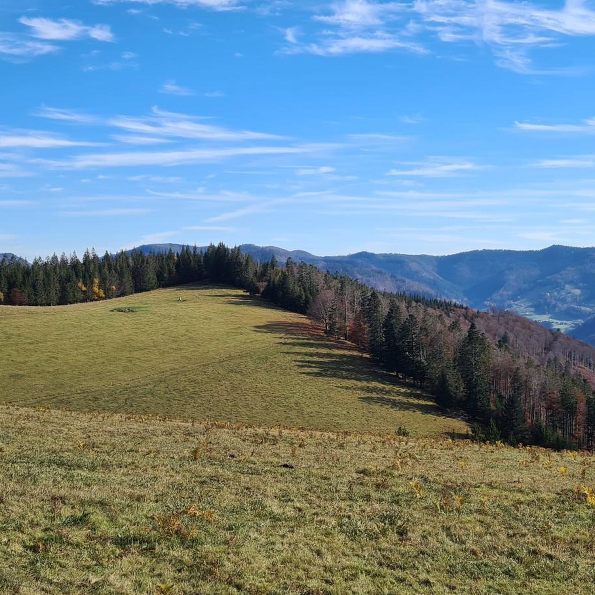
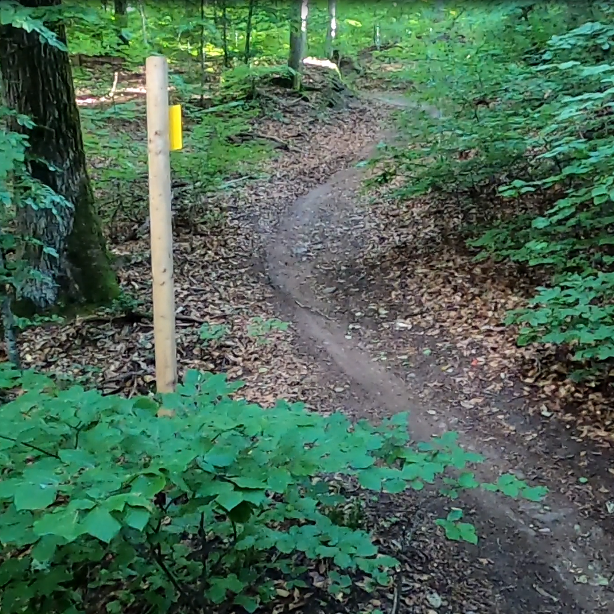
Tips from the Community

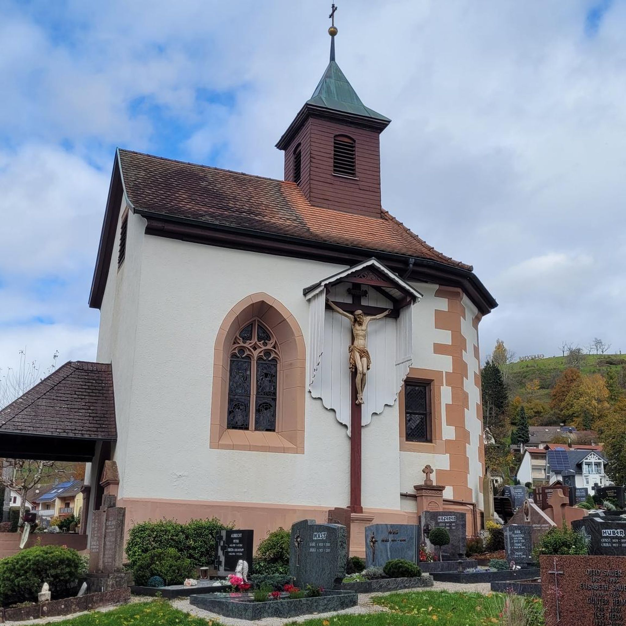
Beautiful historic church in the center of Todtnau. A prominent landmark with impressive architecture — good point to take a break in the village.
0
0
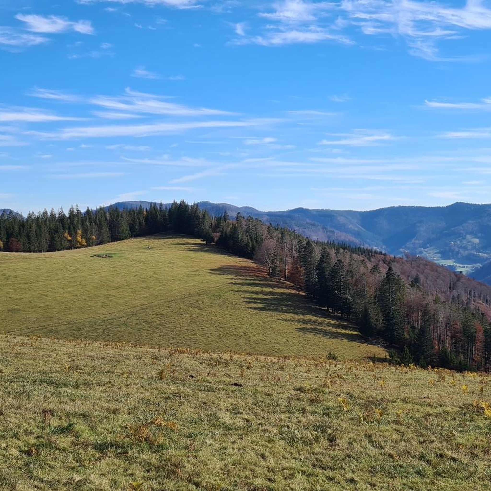
A clear viewpoint over the Schluchsee from the road. The calm lake backed by dense forest is characteristic of this part of the Black Forest — a moment to take in the scenery before the final descent.
0
0

Small roads are simply fantastic! One of the most difficult climbs in the entire Black Forest.
0
0

I was up there before 9 a.m. on a Monday during the summer holidays and was completely alone. I highly recommend it!
0
0
The gravel is surprisingly rough and sharp-edged, but modern tires can handle it. The view is worth it.
0
0

very good surface and traffic-free
0
0
recommended descent - very good surface and not too much traffic
0
0
Beautiful road if you want you can also continue to Hochtann and Belchen
0
0
Frequently Asked Questions
What are the typical difficulty levels for road cycling routes around Utzenfeld?
Road cycling around Utzenfeld is characterized by its challenging terrain. Most routes are classified as either moderate or difficult, with 26 moderate and 27 difficult routes available. This reflects the region's hilly landscape and the presence of significant mountain passes.
Are there options for long-distance road cycling around Utzenfeld?
Yes, Utzenfeld offers several long-distance road cycling routes. For example, the Schlechtnau Village Route loop from Todtnau covers approximately 48 miles (77 km), and the Feldberg Pass – Wacht Pass loop from Schönau im Schwarzwald is about 44.6 miles (71.8 km) long, both featuring substantial elevation changes.
What are common starting points for road cycling routes in the Utzenfeld area?
Many road cycling routes in the Utzenfeld region typically start from nearby towns such as Schönau im Schwarzwald, Todtnau, or Wieden. These locations serve as convenient hubs for accessing the diverse network of trails.
Are there any road cycling routes suitable for beginners around Utzenfeld?
The road cycling routes around Utzenfeld are generally geared towards more experienced cyclists. There are no routes specifically classified as 'easy' in the area, with options ranging from moderate to difficult due to the hilly terrain and mountain passes.
What is the best time of year for road biking in Utzenfeld?
The best time for road biking in Utzenfeld is typically from late spring through early autumn (May to October). During these months, the weather is generally more stable, and mountain passes are clear of snow, offering optimal conditions for cycling through the Black Forest's scenic landscapes.
What can I see along the road cycling routes around Utzenfeld?
Road cycling routes in the Utzenfeld area often pass through picturesque villages and offer views of the surrounding natural environment. You can also find natural attractions nearby, such as the impressive Todtnau Waterfall or the serene Zastlerbach Waterfall. Some routes might also offer glimpses of historical sites like the Teufelsgrund Show Mine.
Are there any circular road cycling routes in Utzenfeld?
Yes, many of the road cycling routes around Utzenfeld are designed as loops, allowing you to start and end in the same location. Examples include the Wiedener Eck Pass – View from Schauinsland loop from Schönau im Schwarzwald and the Pedestrian Zone in Todtmoos – From Präg to Hochkopf loop from Schönau im Schwarzwald.
How many road cycling routes are available around Utzenfeld?
There are over 50 road cycling routes available around Utzenfeld, offering a wide range of options for exploring the Black Forest region by bike. These routes cater to various preferences, primarily focusing on moderate to difficult terrain.
What do other road cyclists enjoy most about road cycling in Utzenfeld?
The road cycling experience in Utzenfeld is highly rated by the komoot community, with an average score of 4.8 stars from over 100 reviews. Cyclists often praise the challenging mountain passes like Feldberg and Wiedener Eck, the scenic forested valleys, and the panoramic views from elevated points.
Are there any viewpoints along the road cycling routes in Utzenfeld?
Yes, the hilly terrain and mountain passes around Utzenfeld provide numerous opportunities for scenic viewpoints. Routes often feature elevated sections that offer panoramic vistas of the Black Forest landscape, such as those found on the Wiedener Eck Pass – View from Schauinsland loop.
What kind of terrain can I expect on road cycling routes near Utzenfeld?
You can expect a diverse and challenging terrain characterized by hilly landscapes, significant mountain passes, and forested valleys. Routes often include notable climbs and descents, providing varied elevation profiles typical of the Black Forest region.
Most popular attractions around Utzenfeld

Get inspired with the komoot mobile app


Explore more
Browse the best Road cycling routes in other regions.
