The best mountain hikes around Érezée
4.8
(9)
20
hikers
9
hikes
Mountaineering routes around Érezée traverse a diverse landscape within the Belgian Ardennes, characterized by rolling hills, dense woodlands, and river valleys. The region features significant rocky outcrops, such as the Rochers de Sy, which provide opportunities for climbing and offer panoramic views. The Ourthe and Aisne rivers carve through the terrain, contributing to the rugged beauty of the area. This environment offers varied challenges suitable for mountaineering.
Best mountaineering routes around Érezée
- The most popular mountaineering route is Natural Rock…
Last updated: August 23, 2026
5.0
(3)
7
hikers
15.7km
04:32
380m
380m
Moderate mountaineering route. Good fitness required. Mostly accessible paths. Sure-footedness required.
4.0
(2)
4
hikers
14.4km
04:07
330m
330m
Moderate mountaineering route. Good fitness required. Easily-accessible paths. Suitable for all skill levels.

Sign up for free
5.0
(1)
2
hikers
14.6km
04:14
370m
370m
Moderate mountaineering route. Good fitness required. Easily-accessible paths. Suitable for all skill levels.
5.0
(1)
2
hikers
16.9km
04:46
360m
360m
Moderate mountaineering route. Good fitness required. Easily-accessible paths. Suitable for all skill levels.
5.0
(1)
2
hikers
10.1km
02:51
210m
210m
Moderate mountaineering route. Good fitness required. Mostly accessible paths. Sure-footedness required.
Get access to more routes and recommendations from other explorers.
Sign up for free
Already have an account?
Our route recommendations are based on thousands of hikes, rides, and runs completed by other people on komoot.
Start today with a free account
Your next adventure awaits.
Login or Signup
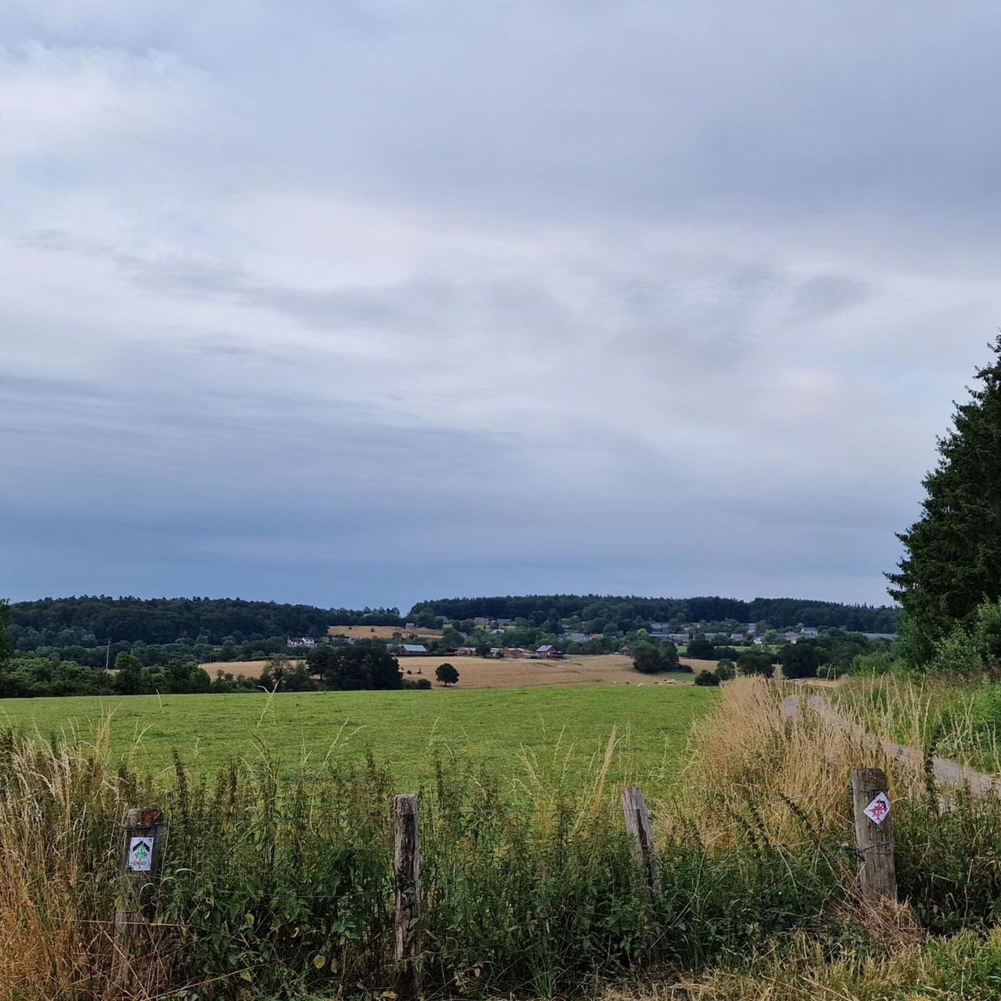
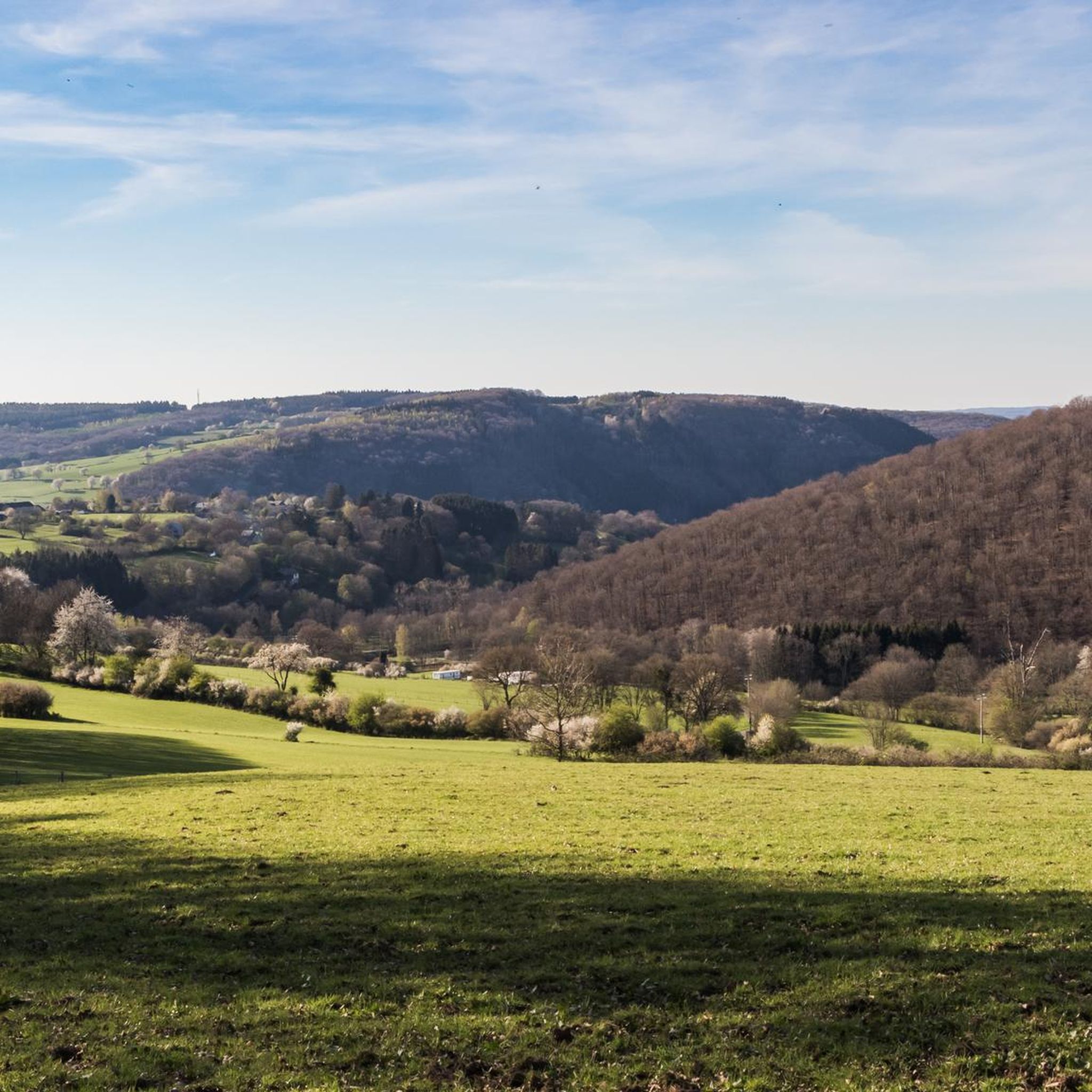
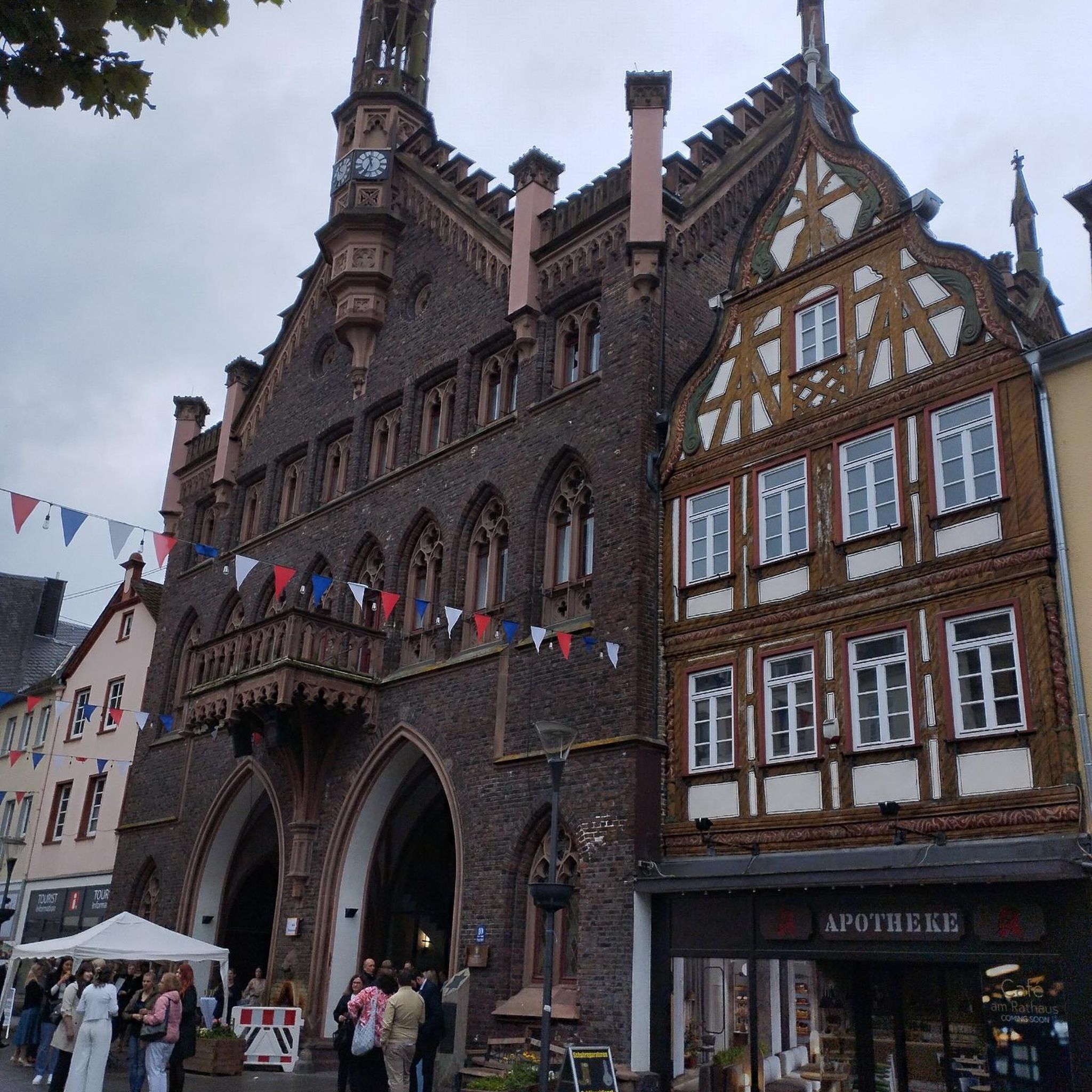
Other adventures around Érezée

Tips from the Community

Ideal resting place during a longer hike.
0
0
Nice rocky path along the Ourthe
0
0


Varied and surprising: forest, climbing, valleys, meadows, city!
0
0

A beautiful bridge with a view of the castle
1
0


On the side of the bridge, you'll find a four-language (FR/NL/DE/UK) information board with the information about the bridge Herwig mentions. It could use replacing. Other interesting facts about the bridge with visible remains: the metal cross, surmounted by a cast and painted iron statue of Christ on the railing, dates from the eighteenth century. As mentioned, the limestone base inscribes the construction years of the various successive bridges: 1725, 1909, and 1954. The base of the cross itself has also been replaced. The previous one, also part of the city's small heritage, stands on the side of the church next to the old graves. This stone stood there between 1909 and 1940 and was blown up during the war. It was replaced in 1954, just like the bridge. If you go down the stairs towards the parking lot on the other side of the bridge (the side with the information board), you will see another reminder, remains and information about the mill.
6
0
At approximately 37 meters, the top of the Anticline, also known as the Homalius Rock and especially the Falize Rock, is literally the highest point in Durbuy. It has been a highlight for many visitors for years, thanks in part to the surroundings and beautiful water features. The rock is somewhat older than the average visitor. It's said to be more than 300 million years old. However, the rock layers are much older: around 375 million years old. The name Anticline comes from the geological phenomenon known as an anticline. It's the opposite of a syncline. While the former is a fold formed over many years, with the innermost layers being the oldest and the folds running downwards, synclines have folds running downwards. Such folds can form for various reasons and range from very small to large, as seen here. Originally, everything was, of course, horizontal. The inverted U-shape created by uplift in Durbuy is not only beautiful to see but also special. And Durbuy has beautifully highlighted this. Another beautiful anticline can be found in Han-sur-Lesse, also in the Famenne-Ardenne region, albeit in the province of Namur (here we are in Luxembourg), where it has been given the name "Tête de bouc" (Tick of the Rock). There's a waterfall and a large water feature at the end of the expansive pond in front of the rock, which you can also climb. And everywhere there's space to admire it all while sitting and relaxing—or enjoying the water. Don't forget the many smaller works of art and curiosities, and take a look in the water.
8
0
Frequently Asked Questions
What kind of terrain can I expect on mountaineering routes around Érezée?
Mountaineering routes in Érezée, located in the Belgian Ardennes, feature a diverse landscape of rolling hills, dense woodlands, and scenic river valleys. You'll encounter prominent rocky outcrops, such as the Rochers de Sy, which offer both challenging climbs and panoramic views. The Ourthe and Aisne rivers also carve through the terrain, adding to the rugged beauty of the area.
Are there any easy mountaineering routes suitable for beginners in Érezée?
Yes, Érezée offers routes suitable for various skill levels. While most routes are moderate, there is at least one easy mountaineering route available. For a gentle introduction to the region's terrain, consider exploring options that focus on the less strenuous paths through the woodlands and valleys.
Are there any challenging mountaineering routes for experienced climbers?
Absolutely. Érezée is known for its significant rocky outcrops, which provide opportunities for more challenging climbs. For instance, the Sy Rocks – Palogne Estate loop from Bomal is rated as difficult, offering a more strenuous experience. Areas like Rocher du Hérou and Blocs de la Chambre du Roi are also known for their technical climbing opportunities.
What do other mountaineers say about the routes in Érezée?
The mountaineering routes in Érezée are highly regarded by the komoot community, boasting an average rating of 4.8 out of 5 stars from over 8 reviews. Users often praise the diverse landscapes, the well-marked paths, and the opportunities for both scenic walks and challenging climbs, particularly around the iconic Sy Rocks.
Are there circular mountaineering routes available in Érezée?
Yes, many of the routes around Érezée are designed as loops, allowing you to start and finish at the same point. Examples include the popular Natural Rock Tunnel near Bomal – Sy Rocks loop from Sy and the Sy Rocks – Sy Bridge loop from Durbuy, both offering a complete circuit through the region's beautiful scenery.
Can I find routes that offer views of the Ourthe River?
Many routes in Érezée provide stunning views of the Ourthe River, which is a defining feature of the region's landscape. The Sy Rocks – Sy Bridge loop from Durbuy, for example, offers excellent vistas of the Ourthe and its surrounding wooded hills. You can also find a dedicated highlight, View over the Ourthe Valley and the Rochers de Sy, for a particularly memorable panorama.
Are there any interesting natural attractions or landmarks along the mountaineering routes?
Érezée is rich in natural attractions. Along the routes, you might encounter fascinating geological formations like the Coléoptère Cave or the Caves and Cliffs along the Ourthe. The region is also home to the picturesque Lienne Valley and various rocky outcrops that serve as natural landmarks.
What is the best time of year for mountaineering in Érezée?
The Belgian Ardennes, including Érezée, offers beautiful conditions for outdoor activities throughout much of the year. Spring and autumn provide pleasant temperatures and vibrant foliage, while summer is ideal for longer days. Winter can offer a different, often quieter, experience, though some routes might be more challenging due to weather conditions.
Are there any routes that pass by historical sites or castles?
Yes, some routes combine natural beauty with historical interest. The Durbuy Bridge - 1725 – Durbuy Castle loop from Durbuy and the Green Valley Forest Trail – Durbuy Castle loop from Bomal both lead you near Durbuy Castle, allowing you to explore the charming town of Durbuy, often called 'the smallest town in the world'.
How many mountaineering routes are available in Érezée?
There are approximately 9 mountaineering routes documented around Érezée, offering a good selection for various preferences and skill levels. These routes range from easy to difficult, ensuring there's something for everyone looking to explore the Ardennes terrain.
Are there any good viewpoints along the mountaineering routes in Érezée?
Érezée is known for its breathtaking panoramas. Many routes, especially those traversing the rocky outcrops, offer excellent viewpoints. A notable highlight is the View over the Ourthe Valley and the Rochers de Sy, which provides a spectacular perspective of the river and the famous rock formations.
What are the typical distances and durations for mountaineering routes in Érezée?
The mountaineering routes in Érezée vary in length and duration. For example, moderate routes like the Natural Rock Tunnel near Bomal – Sy Rocks loop from Sy are around 15.3 km (9.5 miles) and take about 4 hours 30 minutes. Shorter, more difficult routes, such as the Sy Rocks – Palogne Estate loop from Bomal, are about 10.2 km (6.3 miles) and can be completed in under 3 hours.
Most popular attractions around Érezée

Get inspired with the komoot mobile app


