The best walks and hikes around Fléron
4.2
(219)
1,106
hikers
130
hikes
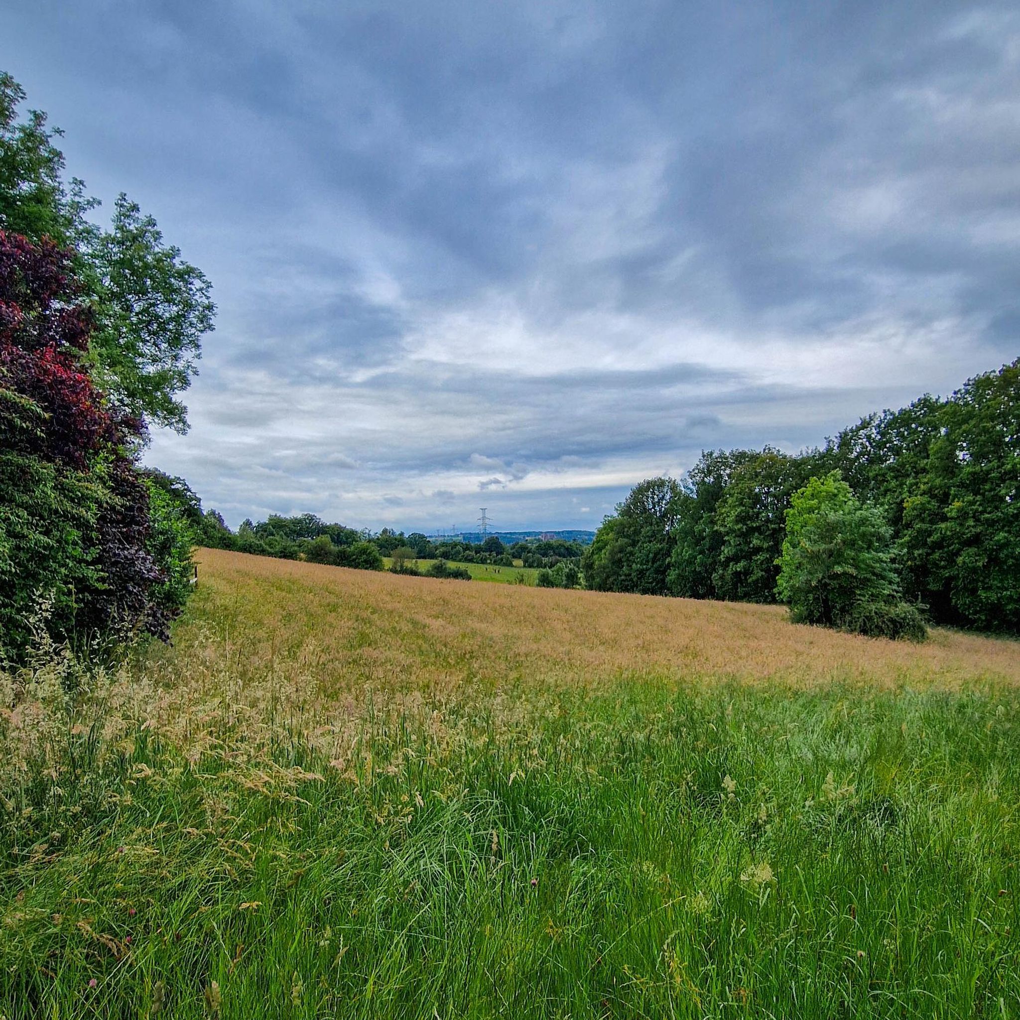
Hiking around Fléron offers diverse landscapes for outdoor exploration. The region is characterized by its position at the entrance to the Pays de Herve, featuring distinctive hedgerows and wooded buttresses. Nearby, the Ourthe Valley provides ridge walks with views, while forests and valleys define much of the terrain. This area presents a network of trails suitable for various hiking experiences.
Best hiking trails around Fléron
- The most popular hiking route is Chaudfontaine Station – Chaudfontaine Thermal Springs loop from Fléron…
Last updated: October 7, 2026
4.5
(28)
94
hikers
12.0km
03:35
350m
350m
Moderate hike. Good fitness required. Easily-accessible paths. Suitable for all skill levels.
4.5
(11)
68
hikers
10.7km
03:08
290m
290m
Moderate hike. Good fitness required. Easily-accessible paths. Suitable for all skill levels.

4.4
(9)
35
hikers
Easy hike. Great for any fitness level. Easily-accessible paths. Suitable for all skill levels.
3.0
(1)
9
hikers
28.2km
08:42
1,020m
1,020m
Hard hike. Very good fitness required. Easily-accessible paths. Suitable for all skill levels.
4.5
(2)
22
hikers
10.0km
02:48
190m
190m
Moderate hike. Good fitness required. Easily-accessible paths. Suitable for all skill levels.
Get access to more routes and recommendations from other explorers.
Already have an account?
Our route recommendations are based on thousands of hikes, rides, and runs completed by other people on komoot.
Start today with a free account
Your next adventure awaits.
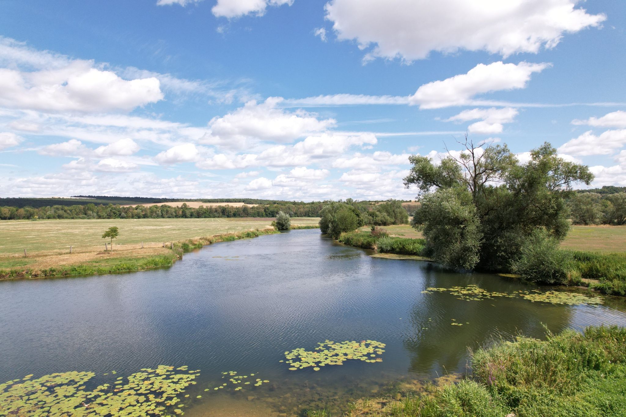
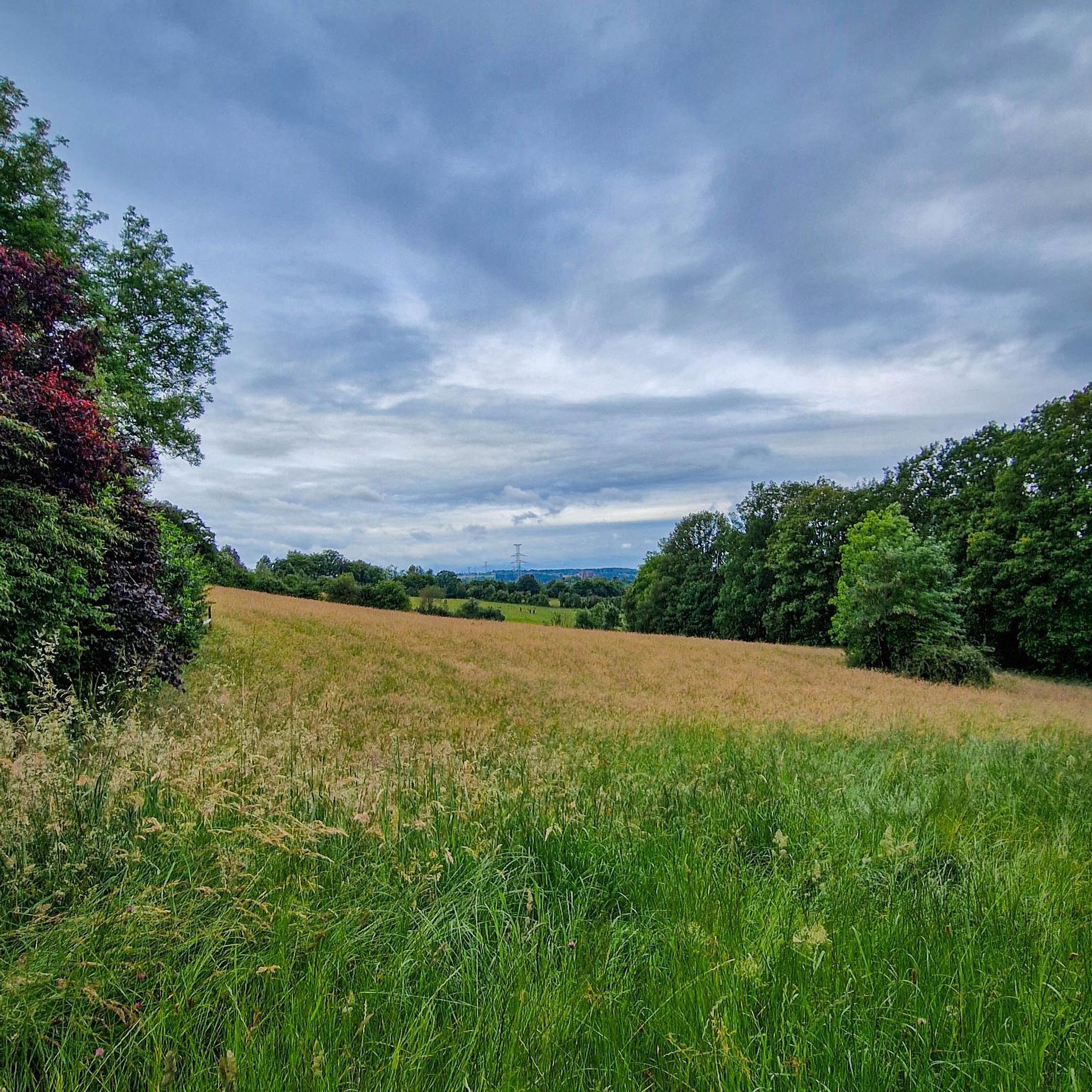
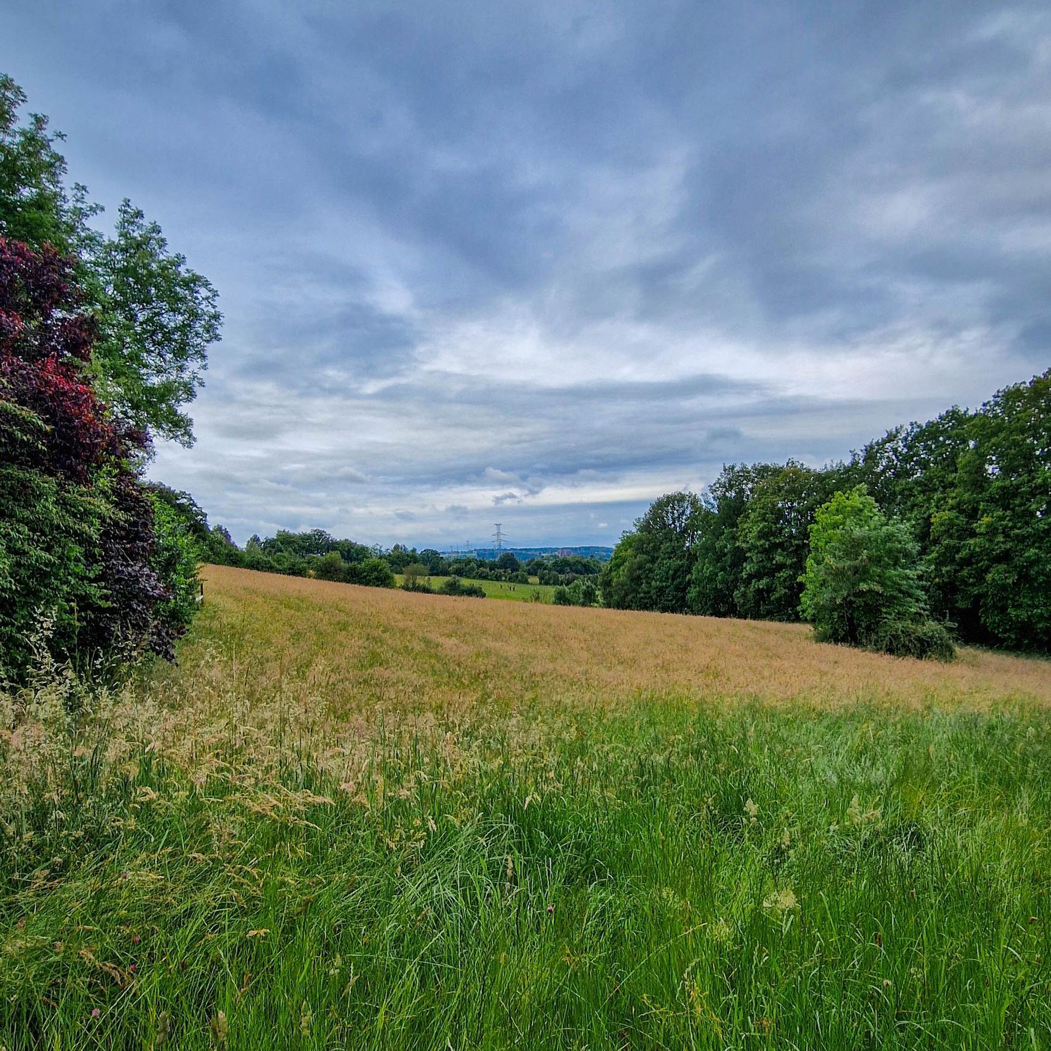
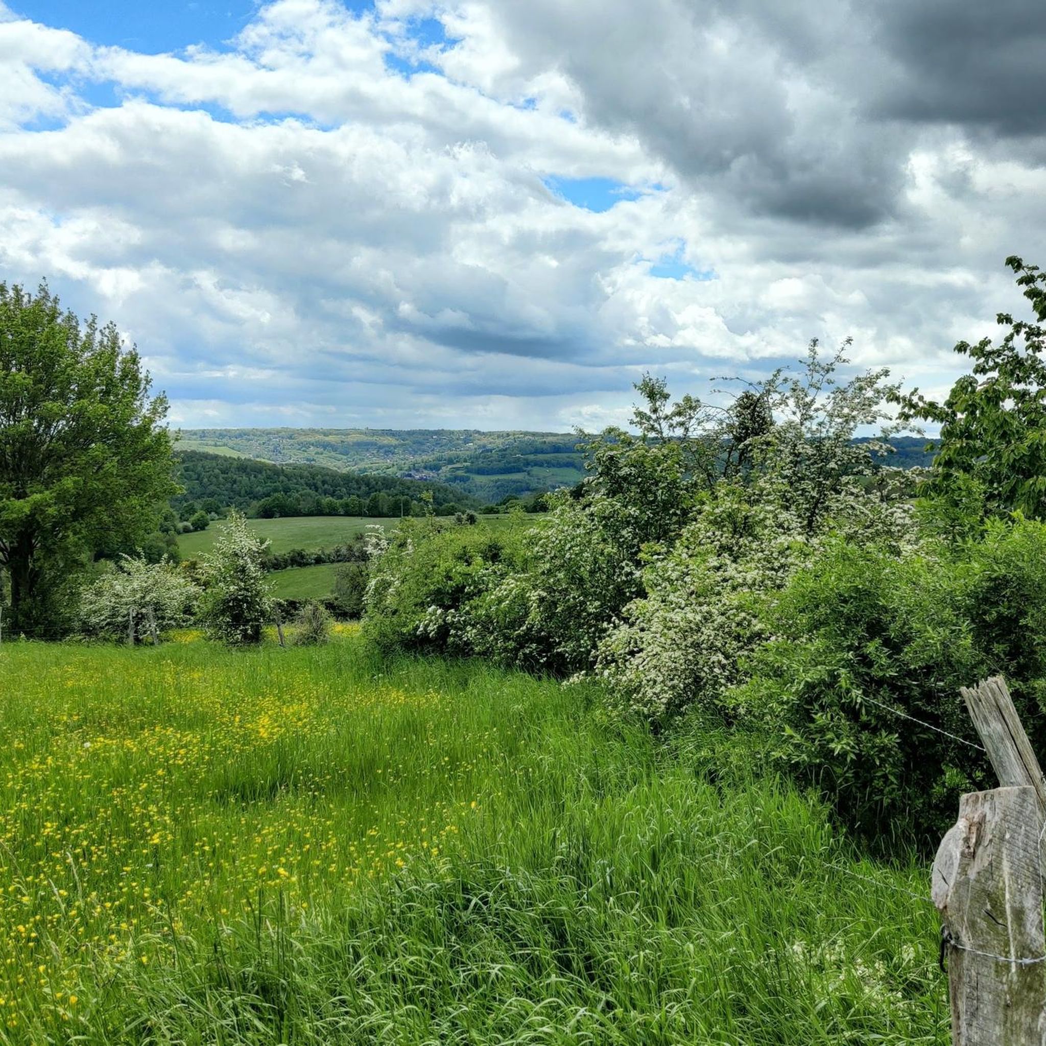

Other adventures around Fléron

Tips from the Community

Its open moors, gnarled trees, and changing meadows give it the feel of a small savannah. An exotic hike, between forest and open spaces, with the Vesdre valley in the background.
2
0
A few stone steps, lost in the middle of the woods… Sometimes it only takes a little to give a soul to a path. This old staircase is one of those little details that could easily be missed, but which tell of another era in Chaudfontaine, when the heights were already frequented by walkers coming to enjoy the spa town.
2
0
Lost in the heart of the Chaudfontaine woods, the Devil's Bridge (Pont du Diable) intrigues as much as it attracts. This small arch of dry stones, perched on the schist rocks, seems almost incongruous in the middle of the forest. And like any good "Devil's Bridge", it has its legend… A passage full of character that gives this hike a little touch of mystery.
1
0

Built in 1843 and redeveloped in 1850, this revenue building, constructed by Auguste Payen, was practically identical to the first Pepinster station, which has since been demolished, also located below a railway embankment. A glass roof covering the access stairs to the platform adjacent to the building was added in 1891 at the same time as the building serving as toilets and lamp room. Built of brick with ashlar details and corner reinforcements, it is a two-storey building. The ground floor and the first floor are small in size with equidistant semi-circular arched windows, while the upper floor, on the edge of the tracks, is higher, in a neoclassical style, and has openings with straight lintels and entablatures and a pediment crowning the three central bays on the street side and seven semi-circular arched bays on the track side. The stationmaster's apartment occupied the intermediate level, while the ticket office and the office were on the top floor. In 1971, the premises at street level, no longer used for railway purposes but serving as a warehouse, were occupied by the "l'Esplanade" café-brasserie. The station also had a goods shed, since demolished
2
0
The fort of Chaudfontaine is one of the twelve forts built for the defense of Liège, in Belgium, at the end of the 19th century on the initiative of the Belgian general Henri Alexis Brialmont. Built from 1888 to 1892, as a modern concrete infrastructure, equipped with the most modern weapons of the time, the fort of Chaudfontaine is one of the six small forts of the Liège belt. Dominating the Vesdre valley on the right bank at an altitude of 220 m, it is located, with that of Embourg, south of the fort of Fléron and east of that of Boncelles. During the First World War, after two days of resistance, the fort surrendered on August 13, 1914, following the explosion of a German shell in the vault of the ammunition store. The street leading to the fort was renamed "rue du XIII Août" and a military cemetery was established there, as well as a monument in homage to 50 of the 71 victims buried in the necropolis and who perished in the fire of the fort (explosion). In 1933, the fort was renovated, rearmed, and consolidated. A thick layer of reinforced concrete, intended to withstand the heaviest equipment, reinforced the vaults. During the Second World War, during the Battle of France, the fort resisted for a few days, but, shelled by the Luftwaffe from the morning of May 17, 1940, it was abandoned at the end of the day after the explosion of a German grenade inside, then a shell at the entrance. A shooting club called "La Trairie" has been located there since 1983 in the casemates defending the moats. Since the 1990s, the fort of Chaudfontaine, renamed "Fort Adventure", has been occupied and developed by a company that organizes adventure courses there, for adults as well as for children.
2
0
From time to time, the RAVeL crosses busy roads - caution is advised here
1
0

Beautiful green connecting path between the hamlets of Moulins-sous-Fléron and Queue-du-Bois through the small valley of the Rau des Moulins and the Bois Ligard
0
0
One of the many historic buildings in the region in the typical Liège style of that time with many small coupled windows with limestone surrounds. The door also had that (heavier) surround with a niche in which a statue of Mary or a saint. In the larger buildings, the number of windows determined the owner's prosperity. When Napoleon levied a tax whose amount depended on that number of windows, some facades were adapted.
0
0
Frequently Asked Questions
How many hiking trails are available around Fléron?
There are over 70 hiking trails around Fléron, offering a diverse range of experiences. This includes 33 easy routes, 34 moderate trails, and 4 more challenging excursions, ensuring options for all skill levels.
Are there easy hiking options suitable for families or beginners?
Yes, Fléron provides numerous easy trails perfect for families or those new to hiking. The region's distinctive hedgerows and wooded buttresses offer gentle paths. For instance, the Forest Path Near Liège loop from Fléron is an easy 5.1 km route through woodlands. The Julienne Valley also offers pleasant walks to discover its source.
What kind of landscapes and natural features can I expect to see while hiking in Fléron?
Hiking around Fléron offers varied landscapes, from the distinctive hedgerows and wooded buttresses of the Pays de Herve to the more dramatic Ourthe Valley. You can expect to encounter forests, valleys, and rocky heights. Notable natural features include the Bois les Dames Nature Reserve and the source of the Julienne in the Julienne Valley.
Are there any challenging hikes near Fléron?
While most trails are easy to moderate, Fléron does offer some more demanding options. The Ourthe Valley, for example, features spectacular ridge walks with breathtaking views from its rocky heights, including challenging 'mountain-type forest paths'. There are 4 difficult routes available for experienced hikers.
Are there any circular hiking routes in the Fléron area?
Yes, many of the trails around Fléron are circular, allowing you to start and end at the same point. Examples include the Chaudfontaine Station – Chaudfontaine Thermal Springs loop from Fléron and the Village Square of Forêt – Saint Hadelin's Church loop from Fléron, both offering diverse scenery.
What are some notable landmarks or viewpoints along the hiking trails?
The region boasts several points of interest and scenic viewpoints. The Ourthe Valley offers spectacular ridge walks with panoramic views. You might also find the Viewpoint of Miermont and Echalier. Beyond the trails, the Devil's Bridge (Pont du Diable) connects two wooded promontories, and the Fort de Chaudfontaine provides historical context.
Is Fléron a dog-friendly hiking destination?
Fléron is generally a dog-friendly area for hiking, with many trails passing through woodlands and open countryside. It's always advisable to keep dogs on a leash, especially in nature reserves or areas with livestock, and to check local regulations for specific trails.
What is the best time of year to go hiking in Fléron?
The best time to hike in Fléron is typically during spring, summer, and autumn when the weather is mild and the natural scenery is at its most vibrant. Spring brings blooming orchids, while autumn offers beautiful foliage. Winter hiking is possible, but some paths may be muddy or slippery, requiring appropriate gear.
Are there any attractions near the hiking trails that I can visit?
Absolutely. Beyond the trails, you can visit the tranquil Val-Dieu Abbey to experience history and local products. The Fort de Chaudfontaine offers adventure courses and guided tours. For a physical challenge and great views, Bueren Mountain in Liège with its 374 steps is also nearby. You can also explore highlights like the Rooty Forest Trail Along the Stream.
What do other hikers enjoy most about the trails in Fléron?
The hiking trails in Fléron are highly rated by the komoot community, with an average score of 4.4 stars from over 140 reviews. Hikers often praise the diverse terrain, the quiet woodlands, and the scenic views, particularly those found along the Ourthe Valley and in the Pays de Herve.
Are there options for public transport or parking near the trailheads in Fléron?
While specific parking details vary by trailhead, Fléron and its surrounding areas generally offer parking options for hikers. For public transport, you can often find connections to key starting points, such as Chaudfontaine Station, which serves as a trailhead for routes like the Chaudfontaine Station – Chaudfontaine Thermal Springs loop from Fléron. It's recommended to check local transport schedules for the most up-to-date information.
How long do hikes around Fléron typically take?
Hikes around Fléron vary in duration depending on the route and your pace. Shorter, easy trails like the Forest Path Near Liège loop from Fléron can be completed in about 1 hour 24 minutes. Longer, moderate routes such as the View of the Vesdre Valley – Magnée Church loop from Fléron might take around 2 hours 40 minutes, while others can extend to over 3 hours.
Most popular attractions around Fléron

Get inspired with the komoot mobile app


Explore more
Browse the best Hikes in other regions.
