The best road cycling routes around Malmedy
4.5
(130)
3,990
riders
118
rides
Road cycling around Malmedy offers a diverse landscape of rolling hills and challenging climbs within the Belgian Ardennes. The region is characterized by dense forests, green river valleys, and the unique high-altitude plateau of the Hautes Fagnes nature reserve. This varied topography provides a scenic backdrop for road cycling, with well-maintained roads connecting picturesque natural features.
Best road cycling routes around Malmedy
- The most popular road cycling route is View of Monschau Old Town – Monschau Old Town loop from…
Last updated: August 10, 2026
4.4
(8)
378
riders
50.1km
02:24
720m
720m
Moderate road ride. Good fitness required. Mostly well-paved surfaces and easy to ride.
4.2
(20)
251
riders
54.0km
02:24
570m
570m
Moderate road ride. Good fitness required. Mostly well-paved surfaces and easy to ride.

Sign up for free
4.7
(16)
362
riders
54.4km
02:23
540m
540m
Moderate road ride. Good fitness required. Mostly well-paved surfaces and easy to ride.
4.7
(7)
131
riders
34.0km
01:43
510m
510m
Moderate road ride. Good fitness required. Mostly well-paved surfaces and easy to ride.
4.5
(4)
125
riders
40.4km
02:02
570m
570m
Moderate road ride. Good fitness required. Some segments of this route may be unpaved and difficult to ride.
Get access to more routes and recommendations from other explorers.
Sign up for free
Already have an account?
Our route recommendations are based on thousands of hikes, rides, and runs completed by other people on komoot.
Start today with a free account
Your next adventure awaits.
Login or Signup
Popular around Malmedy
A waymarked trail all year round — Ultra Tour des Sources
High moor to fairytale forest – three autumn days on the Venntrilogie
Venntrilogie – the premium hiking experience in East Belgium
Leisure Tours on enchanted paths – hiking in East Belgium
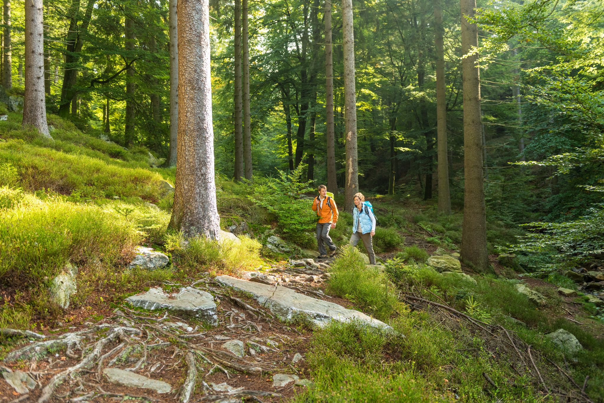
Fantastic regional footpaths — GR hiking paths in East Belgium
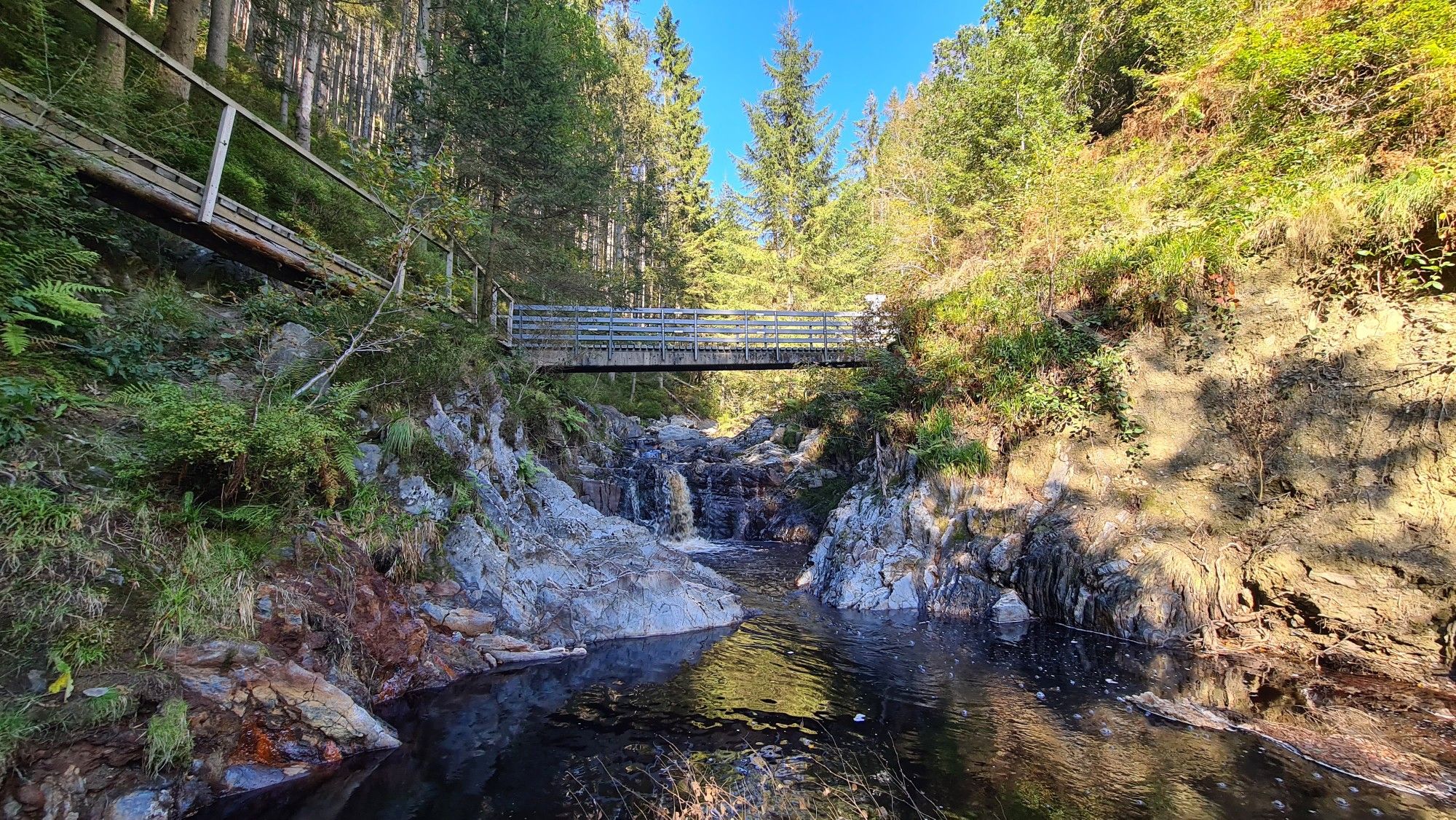
Little adventures — kids on Tour in East Belgium
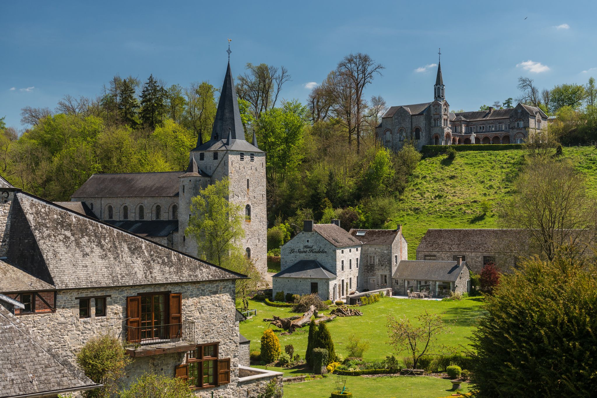
Walks in the Belgian Ardennes — historic walls & magical forests
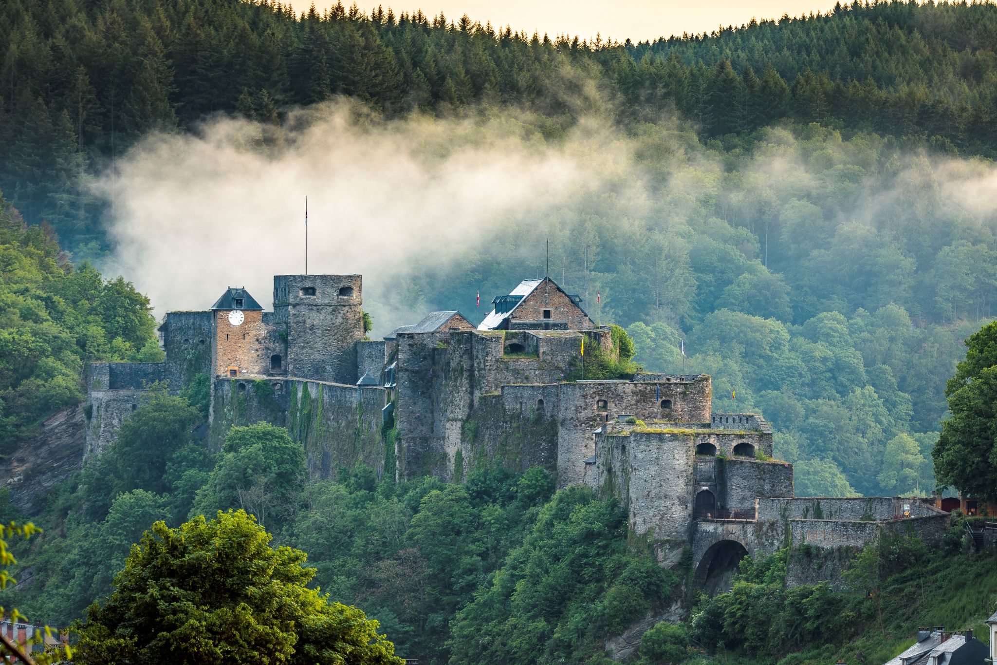
Hiking along majestic castles and nature – Belgian Ardennes
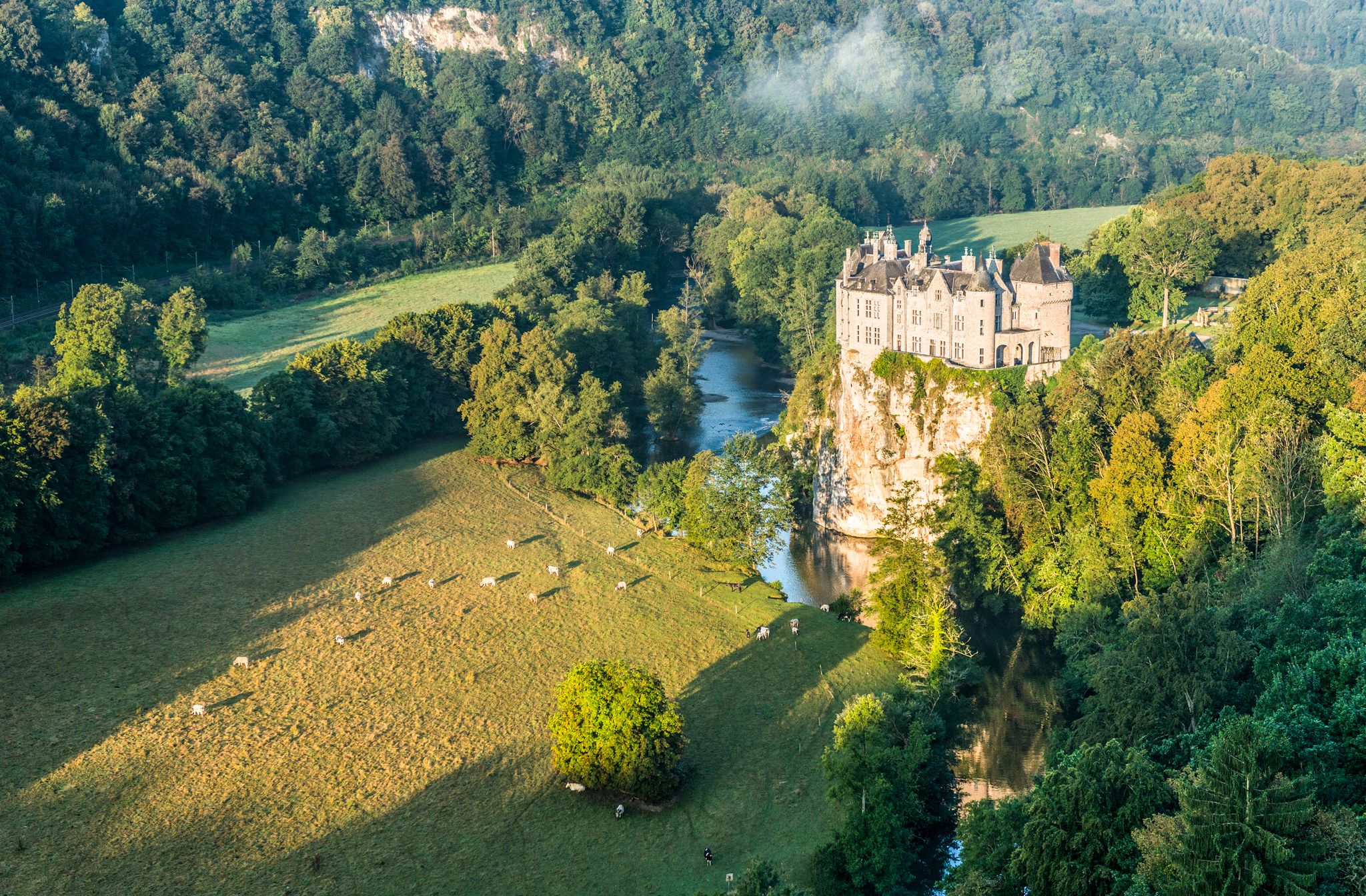
Pure nature on the hiking trails in the Belgian Ardennes
Hiking around Malmedy
Other adventures around Malmedy


Tips from the Community

For the Geocachers: There are 23 steps :-)
0
0


St. Wendelin's Church was built in 1935, replacing the former parish church from 1708, whose choir still stands today as a chapel. The church belongs to the Diocese of Liège and is dedicated to St. Wendelin, a highly venerated patron saint of shepherds and farmers in rural areas.
50
0

Unique experience, nice smooth asphalt and a nice constant slope.
0
0

Parking lot, a brasserie and straight into nature.
1
1

In Belgium, too, traffic is apparently being closely monitored, as the warning signs show: one year, cross-country skiers come from the right, the next year, apparently more from the left. In any case, this means cyclists should keep their eyes open!
0
0

Botrange dominates the plateau of the Hautes Fagnes and is the highest point in Belgium at 694 m above sea level. This status was granted in 1920 when the East Cantons (including the municipality of Waimes) became Belgian territory after the Treaty of Versailles. It thus replaced the site of the Baraque Michel (672 m), which is located on the territory of Jalhay. As early as the 19th century, there were two geodetic markers: - the "Pyramide Tranchot", erected in 1806 by a French colonel (under Napoleon) who was charged with drawing up a map of the region. This stone bears a goniometric point 1 on its front. - the "Trigonometric Point" (TP), erected in 1894 by German military engineers. In 1923, General Baltia (High Commissioner of the Belgian government for the East Cantons between 1920 and 1925) built a hill there to "mark" the location of this new peak of the Kingdom, just behind a wooden tower that served as an observation post and was built by the Prussian administration. The current tower was built in 1934 by François Fagnoul of Waimes, is 24 m high and offers a view of the surrounding area (and far beyond). At the foot of it, on the right, is the tourist office, which informs visitors about walks in the Fens. In 2014, a monument known as the "Manifesto of Botrange" was inaugurated there by the municipality of Waimes, in the presence of Paul Dandrifosse, author of the book "Nos terres volées en 1940", a plea for the official recognition of the history of the East Cantons. As part of the redevelopment of the site by the municipality of Waimes in 2022 (extension of the car park, access via a covered lift to the top of the tower - raised by a viewing platform - creation of a reception and information area for visitors and modernisation of the café-restaurant), the history of East Belgium will be outlined in the Eastorium (see History and Heritage), supplemented by a tour of the Fens, along the old milestones and other monuments of the Fens. Source: https://www.waimeshautesfagnes.be/nl/decouvrir/incontournables/le-signal-de-botrange.htm
5
0

More information about the Botrange signal can be found at www.waimeshautesfagnes.be/nl/decouvrir/incontournables/le-signal-de-botrange.htm
1
0
Frequently Asked Questions
How many road cycling routes are available around Malmedy?
Malmedy offers a wide selection for road cyclists, with over 100 routes available. These routes cater to various skill levels, including easy, moderate, and difficult options.
What kind of terrain can I expect when road cycling in Malmedy?
The region is characterized by a diverse landscape of rolling hills and challenging climbs within the Belgian Ardennes. You'll encounter dense forests, green river valleys, and the unique high-altitude plateau of the Hautes Fagnes nature reserve, all providing a scenic backdrop for your rides.
Are there challenging climbs for experienced road cyclists in Malmedy?
Yes, Malmedy is known for its demanding ascents. Notable climbs include the challenging La Redoute, famous for its steep gradients, and the Col du Rosier, which rewards cyclists with stunning vistas. The Baraque Michel Climb also offers a mix of steady gradients and sharp turns through dense forests.
What are some scenic natural features or landmarks I can see while cycling?
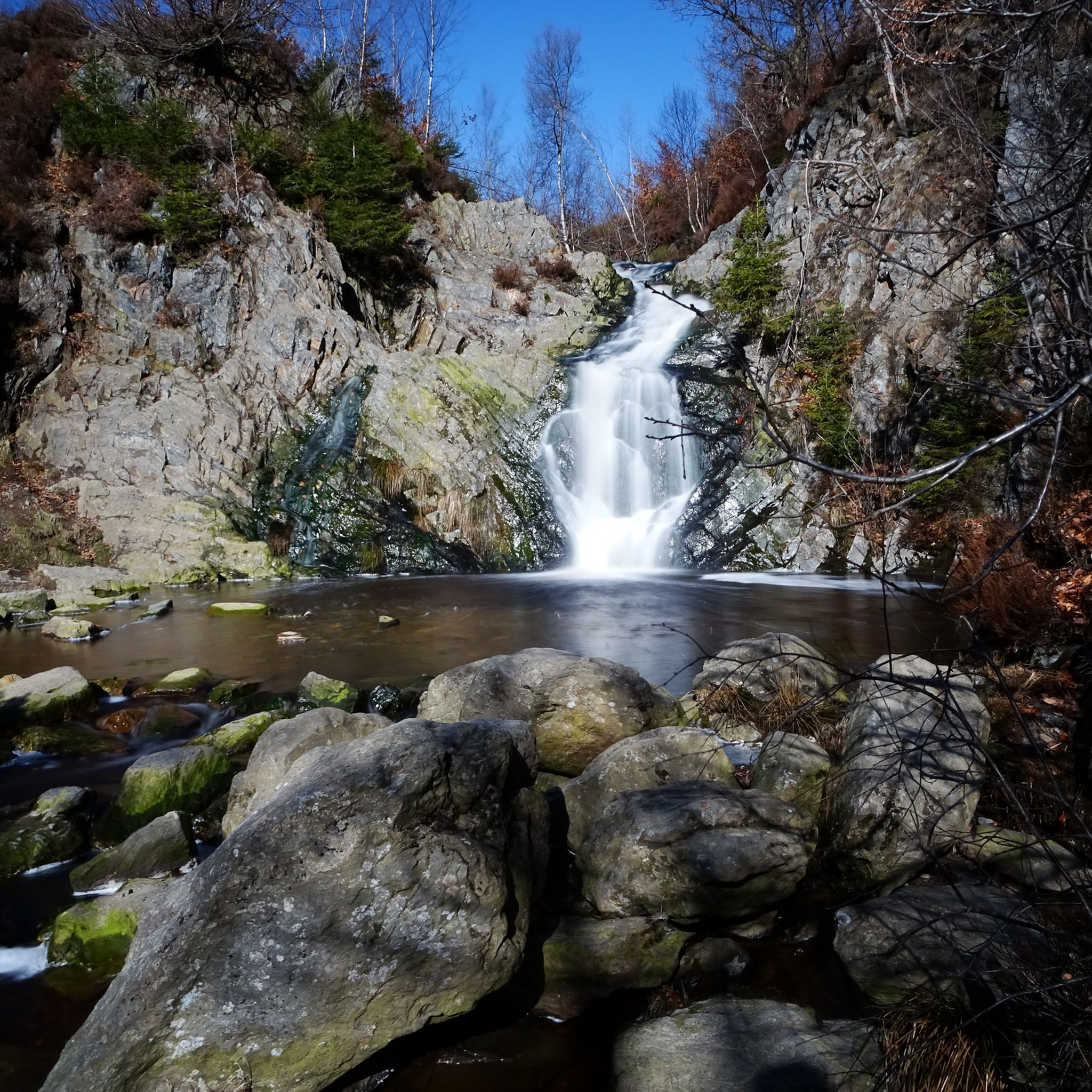
You can explore various natural and historical sights. The View of Monschau Old Town – Monschau Old Town loop from Baugnez takes you to the historic Monschau. The Gileppe Dam – Baraque Michel and the chapel loop from Verviers features the impressive Gileppe Dam Lion. Other attractions include the picturesque Bayehon Waterfall and the medieval Reinhardstein Castle near Robertville Lake.
When is the best time of year for road cycling in Malmedy?
The best seasons for road cycling in Malmedy are typically spring (April-May) and fall (September-October) due to milder temperatures and beautiful scenery. The well-maintained roads ensure an enjoyable experience during these periods.
Are there any family-friendly road cycling options in the area?
While many routes feature rolling hills, there are options for easier road cycling. The region's network includes routes with varying difficulty levels, and paths like the RAVeL L45 offer smoother sections suitable for a more relaxed pace. Always check the route details for elevation and terrain to ensure it matches your family's comfort level.
Can I find circular road cycling routes around Malmedy?
Yes, many of the road cycling routes around Malmedy are designed as loops, allowing you to start and finish at the same point. For example, the Stavelot Railway Tunnel – RAVeL L45 loop from Baugnez is a popular circular option, taking you through scenic areas and along the RAVeL L45.
What do other cyclists say about road cycling in Malmedy?
The road cycling routes in Malmedy are highly rated by the komoot community, with an average score of 4.4 stars from over 100 reviews. More than 3,700 road cyclists have used komoot to explore the varied terrain, often praising the diverse landscapes and well-maintained roads.
Where can I find information about bike rental in Malmedy?
For information on bike rental services in Malmedy, it's best to check with local tourism resources. The Malmedy Tourism Office website (malmedy-tourisme.be) can often provide details on local providers or direct you to relevant services.
Is it possible to cycle near the famous Spa-Francorchamps Circuit?
Yes, cyclists have the unique opportunity to test their skills on the legendary Spa-Francorchamps racetrack on designated public access days. This offers an exciting and memorable experience for road cycling enthusiasts.
What are the main natural landscapes that define the Malmedy cycling experience?
The Malmedy cycling experience is defined by the lush forests and diverse terrain of the Belgian Ardennes, from green valleys to forested hills. A significant feature is the Hautes Fagnes Nature Reserve, Belgium's largest, characterized by heathland, peat bogs, and panoramic views, offering unique routes through its moors and forests.
Are there any long-distance road cycling routes available?
Yes, Malmedy offers routes suitable for longer distances. For example, the View of Monschau Old Town – Monschau Old Town loop from Baugnez is a substantial 69.2 km (43.0 miles) route, providing a good challenge for those looking for extended rides.
Where can I find parking for road cycling routes in Malmedy?
Malmedy, as a hub for outdoor activities, generally offers various parking options within the town and at common starting points for routes. It's advisable to check local signage or the Malmedy Tourism Office website (malmedy-tourisme.be) for specific parking locations and any potential fees.
Most popular routes around Malmedy
Most popular attractions around Malmedy

Get inspired with the komoot mobile app


Explore more
Browse the best Road cycling routes in other regions.
