The best walks and hikes around Urnshausen
4.5
(319)
1,022
hikers
43
hikes
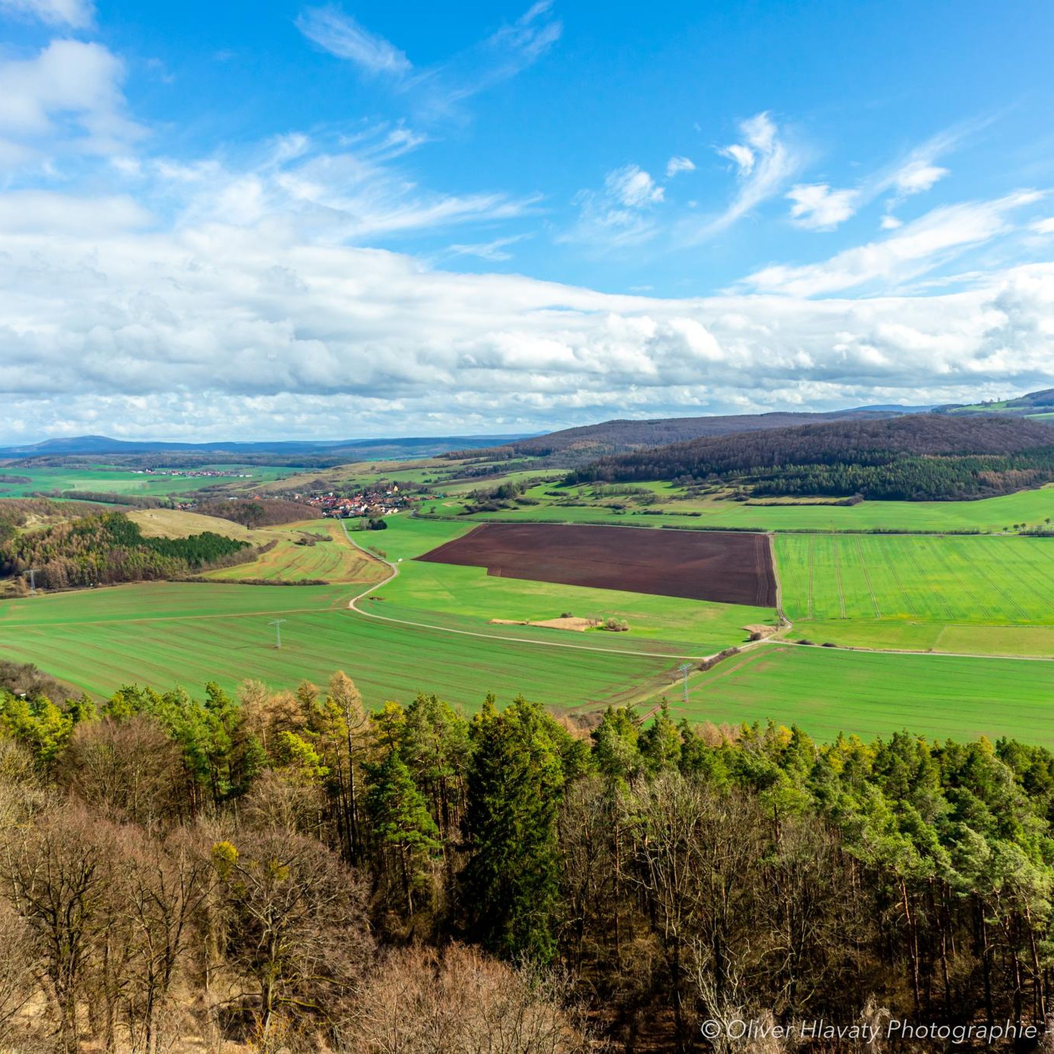
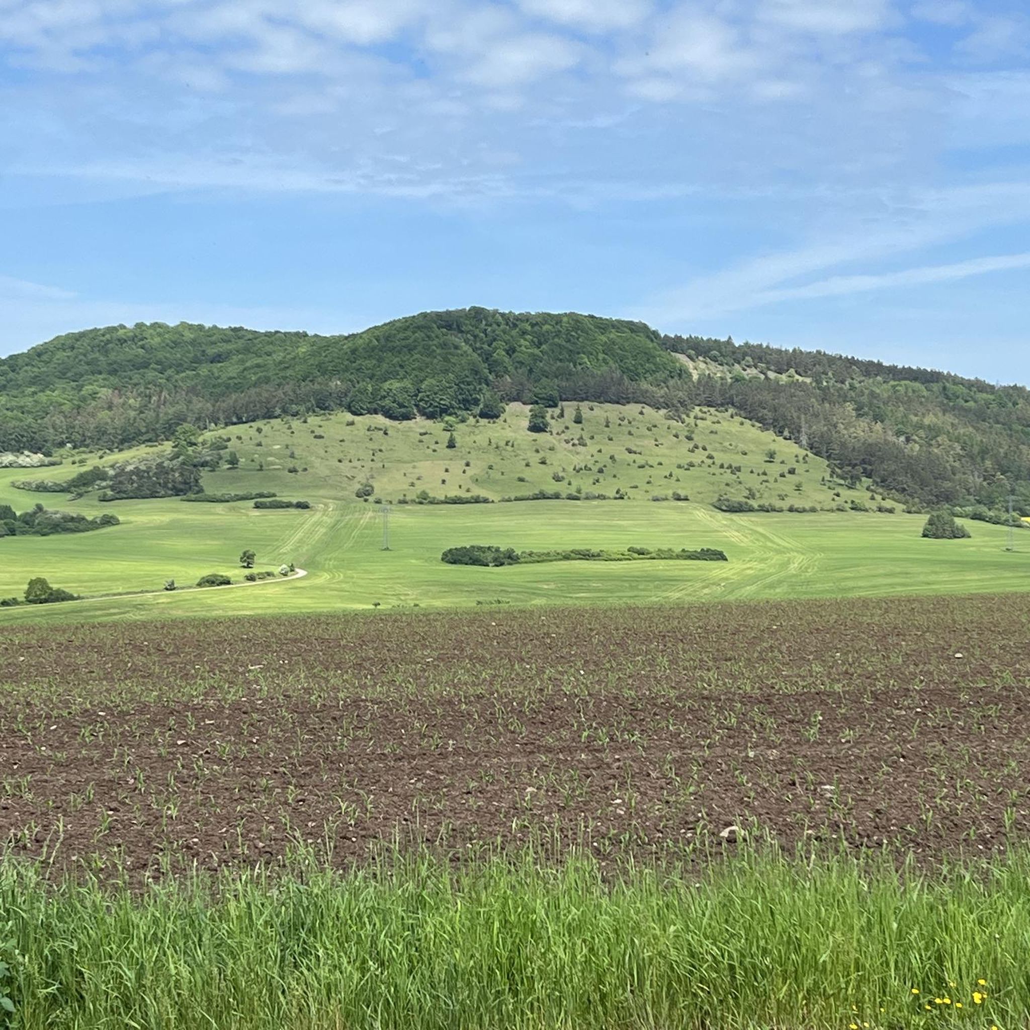
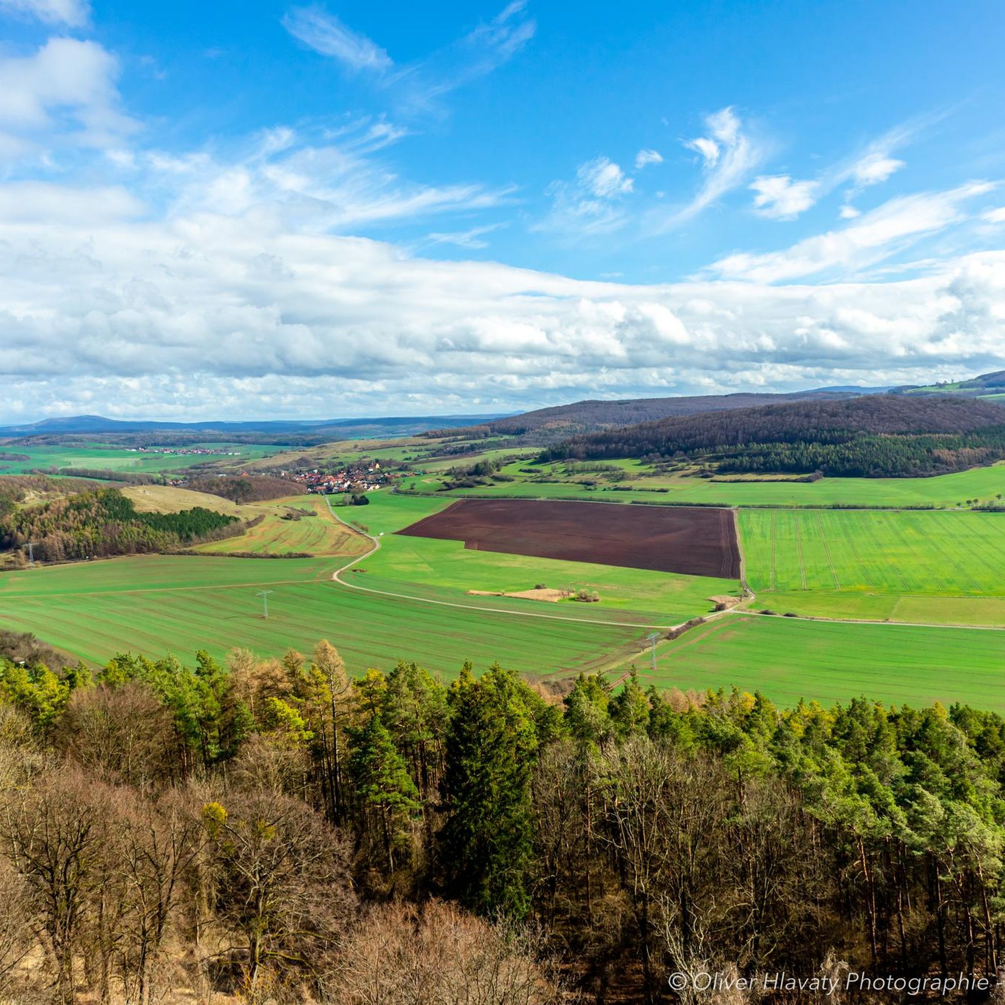
Hiking around Urnshausen offers diverse landscapes within the Rhön region, characterized by open vistas, rolling hills, and varied ecosystems. The area features natural attractions like the Schönsee, a 3.5-hectare lake, alongside prominent hills such as the Pleß and Gläserberg. Hikers can explore a mix of forest paths, open meadows, and routes leading to historic ruins, providing a range of experiences from gentle walks to more challenging ascents.
Best hiking trails around Urnshausen
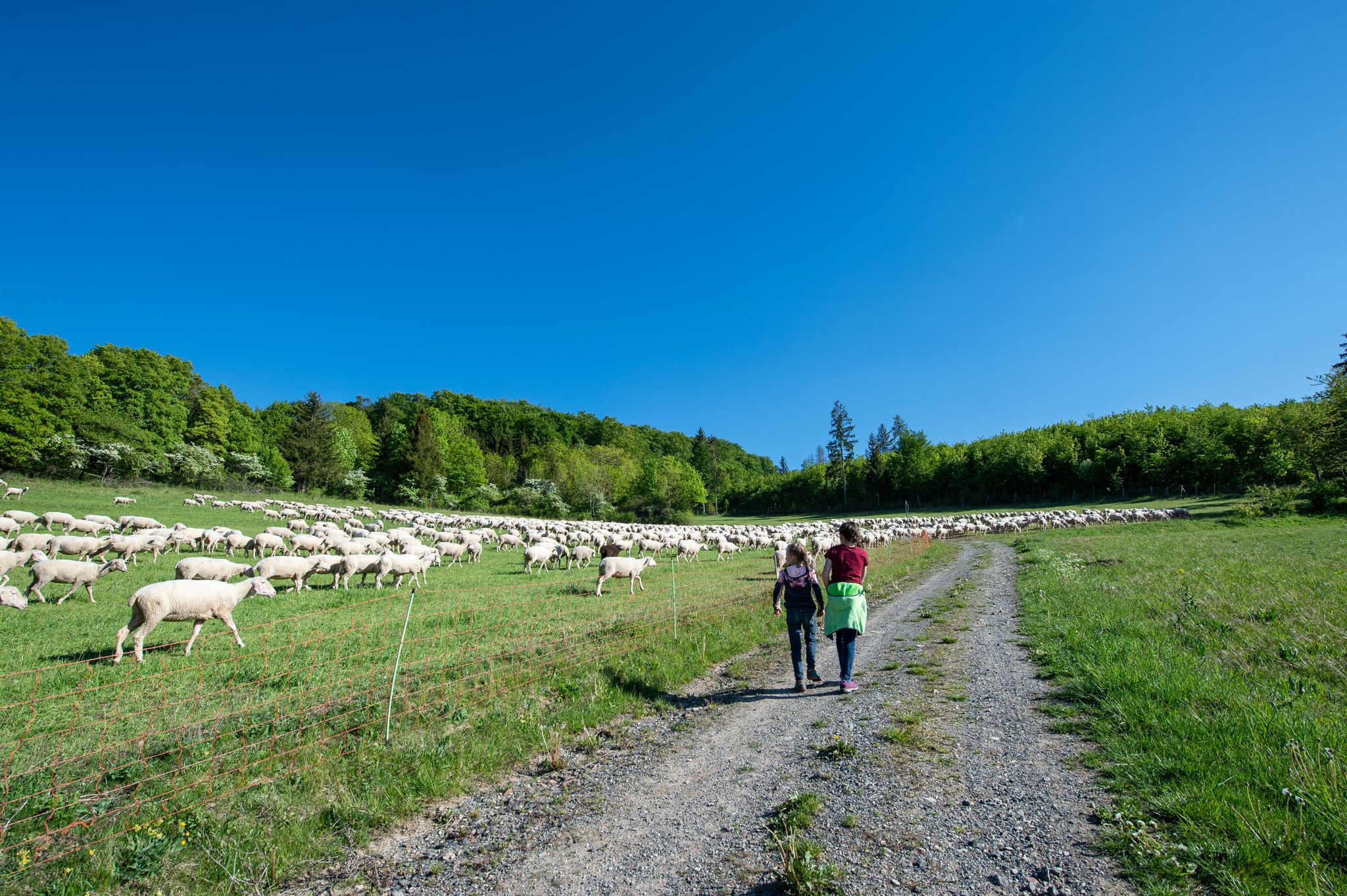
- The most popular hiking route is Family hiking…
Last updated: October 8, 2026
2
hikers
1.20km
00:20
20m
20m
Easy hike. Great for any fitness level. Easily-accessible paths. Suitable for all skill levels.
4.7
(48)
164
hikers
Hard hike. Very good fitness required. Easily-accessible paths. Suitable for all skill levels.

4.7
(43)
108
hikers
13.7km
03:59
360m
360m
Moderate hike. Good fitness required. Easily-accessible paths. Suitable for all skill levels.
4.7
(46)
129
hikers
22.7km
06:38
610m
610m
Hard hike. Very good fitness required. Easily-accessible paths. Suitable for all skill levels.
4.4
(29)
63
hikers
7.97km
02:15
170m
170m
Moderate hike. Good fitness required. Easily-accessible paths. Suitable for all skill levels.
Get access to more routes and recommendations from other explorers.
Already have an account?
Our route recommendations are based on thousands of hikes, rides, and runs completed by other people on komoot.




Tips from the Community

Here is Touringen stamp station 294
0
0

beautiful small lake, but swimming is officially prohibited
1
0

Here you can stamp your route and take a break to enjoy the view. 😎
2
0

A nice place to linger 😇
1
0

A beautiful place in nature. Highly recommended.
1
0
A beautiful place surrounded by beautiful nature.
2
0

Rest area with beautiful view, touring stamp point
1
0
Frequently Asked Questions
How many hiking trails are available around Urnshausen?
There are over 40 hiking routes around Urnshausen, offering a variety of experiences from easy strolls to more challenging mountain climbs. This includes 17 easy, 23 moderate, and 4 difficult trails.
What kind of terrain can I expect when hiking near Urnshausen?
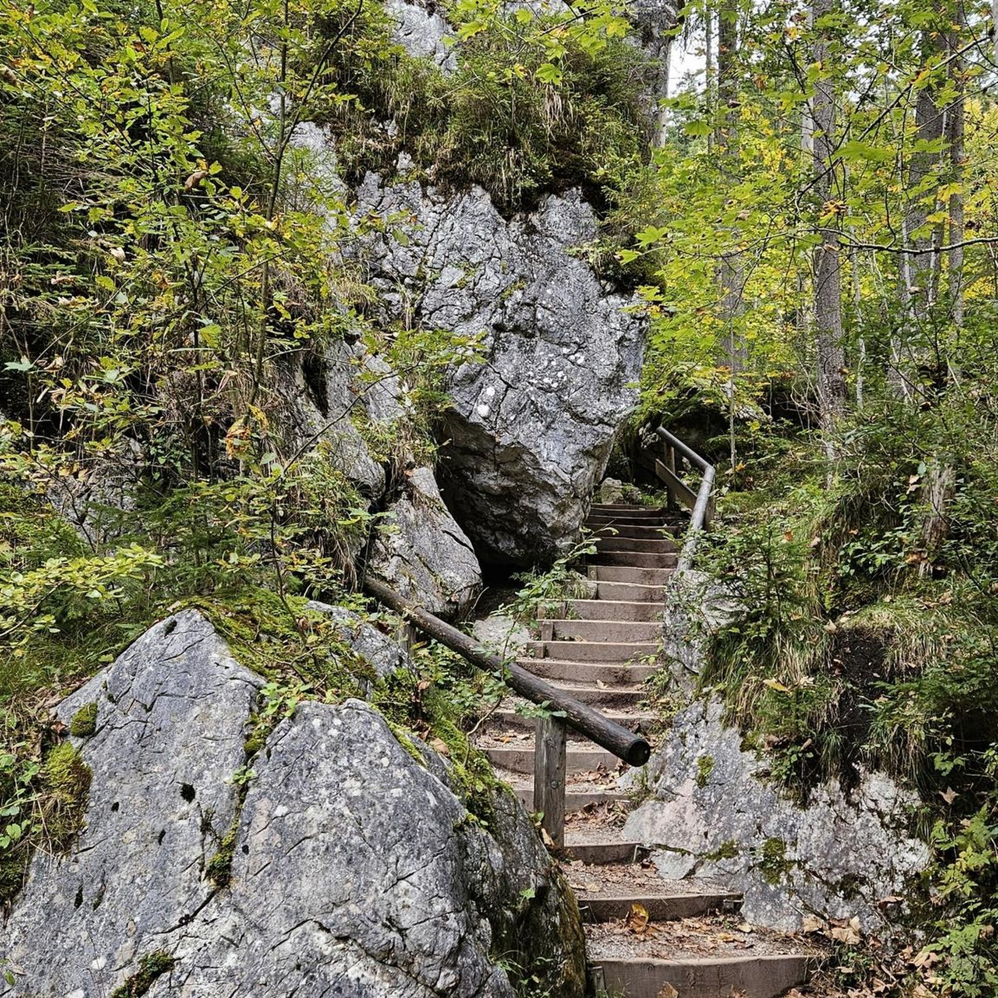
The region around Urnshausen, part of the Rhön Biosphere Reserve, is known for its open, spacious landscapes, which offer unimpeded distant views. You'll find a mix of forest paths, rolling hills, and open meadows, with some routes leading to prominent peaks and historic sites.
Are there family-friendly hiking options in Urnshausen?
Yes, Urnshausen offers several family-friendly options. A popular choice is the Family hiking trail Schönseerundweg, an easy circular path around the Schönsee, featuring relaxation loungers, a spyglass, and a photo wall. The Schönsee itself is also great for swimming and has an outdoor playground.
Where can I find impressive viewpoints or panoramic views?
For breathtaking views, consider hiking to the Pleß Tower on Pleß mountain, which offers a wonderful all-round panorama. Another excellent spot is the Gläserberg Summit, providing expansive views over the Rhön to the Thuringian Forest and Rennsteig.
Are there any circular walks available in the area?
Yes, many trails around Urnshausen are circular. Besides the family-friendly Schönseerundweg, you can explore the Schönsee – Pleß Tower loop from Urnshausen, which combines the lake with mountain views. Another option is the Bernhäuser Kutte Rest Area – Bernshäuser Kutte loop, offering varied terrain.
What natural features or attractions can I see while hiking?
The region boasts several notable natural features. The Baier (714 m) is a prominent basalt summit with impressive boulders and diverse flora. The Geiskopf Blockfield and Summit also offer unique geological formations. The tranquil Schönsee is a beautiful natural idyll perfect for relaxation.
Can I go wild swimming near Urnshausen?
The Schönsee, a 3.5-hectare lake near Urnshausen, is known for its excellent water quality and is a popular spot for swimming and splashing, especially during warmer months. It's a great place to cool off after a hike.
Are there historical sites or landmarks to explore?
Yes, history enthusiasts can visit the Krayenburg Castle Ruins on the Krayenberg, which offer a glimpse into ancient history and are a rewarding destination for a hike.
What do other hikers say about the trails in Urnshausen?
The hiking routes in Urnshausen are highly rated by the komoot community, with an average score of 4.4 stars from over 250 reviews. Hikers often praise the diverse landscapes, the expansive views from the peaks, and the well-maintained paths suitable for various skill levels.
Are there more challenging hikes for experienced trekkers?
For those seeking a challenge, Urnshausen offers several difficult routes. The View from Horn (Thuringian Forest) – View of Wiesenthal loop is a demanding 17.2 km trail with significant elevation gain. Another challenging option is the Ancient Yew in Ibengarten – View of Wiesenthal loop, covering over 23 km.
Is the Urnshausen area suitable for dog-friendly hikes?
The open and natural landscapes of the Rhön region around Urnshausen are generally very welcoming for dogs. Many trails pass through forests and meadows, providing ample space for your canine companion to enjoy the outdoors. Always remember to keep your dog on a leash where required and clean up after them.
When is the best time to hike around Urnshausen?
The Rhön region is beautiful year-round. Spring brings blooming wildflowers, summer offers lush greenery and opportunities for swimming in Schönsee, while autumn showcases vibrant foliage. Even in winter, the open landscapes can be stunning for a crisp walk, though some higher trails might require appropriate gear.
Most popular routes around Urnshausen
Most popular attractions around Urnshausen

Get inspired with the komoot mobile app


Explore more
Browse the best Hikes in other regions.
