The best walks and hikes around Welkenraedt
4.5
(1084)
4,012
hikers
81
hikes
Hiking around Welkenraedt offers trails through the rolling hills and agricultural landscapes of the Belgian Ardennes foothills. The region is characterized by a mix of open fields, dense woodlands, and small river valleys, providing varied terrain for outdoor activities. Elevation changes are generally moderate, making many paths accessible for different fitness levels. The landscape features a network of paths connecting villages and natural areas.
Best hiking trails around Welkenraedt
- The most popular hiking route is Flagpole and viewpoint – Narrow Footpath loop from Henri-Chapelle, a 6.5 miles (10.4 km) trail that takes 2 hours 50 minutes to complete. This moderate route features scenic viewpoints and winding footpaths.
- Another top favourite among local hikers is Vieljaeren Castle – View of Aubel and Moresnet loop from Henri-Chapelle, a moderate 6.7 miles (10.8 km) path. This trail offers views of the surrounding countryside and passes by historical sites.
- Local hikers also love the Notre-Dame des Rotières Shrine loop from Welkenraedt, a 3.3 miles (5.3 km) trail leading through local fields and quiet paths, often completed in about 1 hour 20 minutes.
- Hiking around Welkenraedt is defined by rolling hills, agricultural fields, and mixed woodlands. The network offers options for different ability levels, from easy family friendly walks to longer distance hikes near Welkenraedt.
- The routes in Welkenraedt are highly rated by the komoot community with an average score of 4.4 stars from over 900 reviews. More than 3,700 hikers have used komoot to explore Welkenraedt's varied terrain.
Last updated: July 4, 2026
4.7
(45)
179
hikers
10.3km
02:49
150m
150m
Moderate hike. Good fitness required. Easily-accessible paths. Suitable for all skill levels.
4.5
(47)
173
hikers
10.7km
02:54
140m
140m
Moderate hike. Good fitness required. Easily-accessible paths. Suitable for all skill levels.

Sign up for free
4.7
(31)
139
hikers
5.25km
01:21
30m
30m
Easy hike. Great for any fitness level. Easily-accessible paths. Suitable for all skill levels.
4.5
(50)
185
hikers
4.25km
01:07
40m
40m
Easy hike. Great for any fitness level. Easily-accessible paths. Suitable for all skill levels.
4.7
(24)
78
hikers
Moderate hike. Good fitness required. Easily-accessible paths. Suitable for all skill levels.
Get access to more routes and recommendations from other explorers.
Sign up for free
Already have an account?
Our route recommendations are based on thousands of hikes, rides, and runs completed by other people on komoot.
Start today with a free account
Your next adventure awaits.
Login or Signup


Tips from the Community


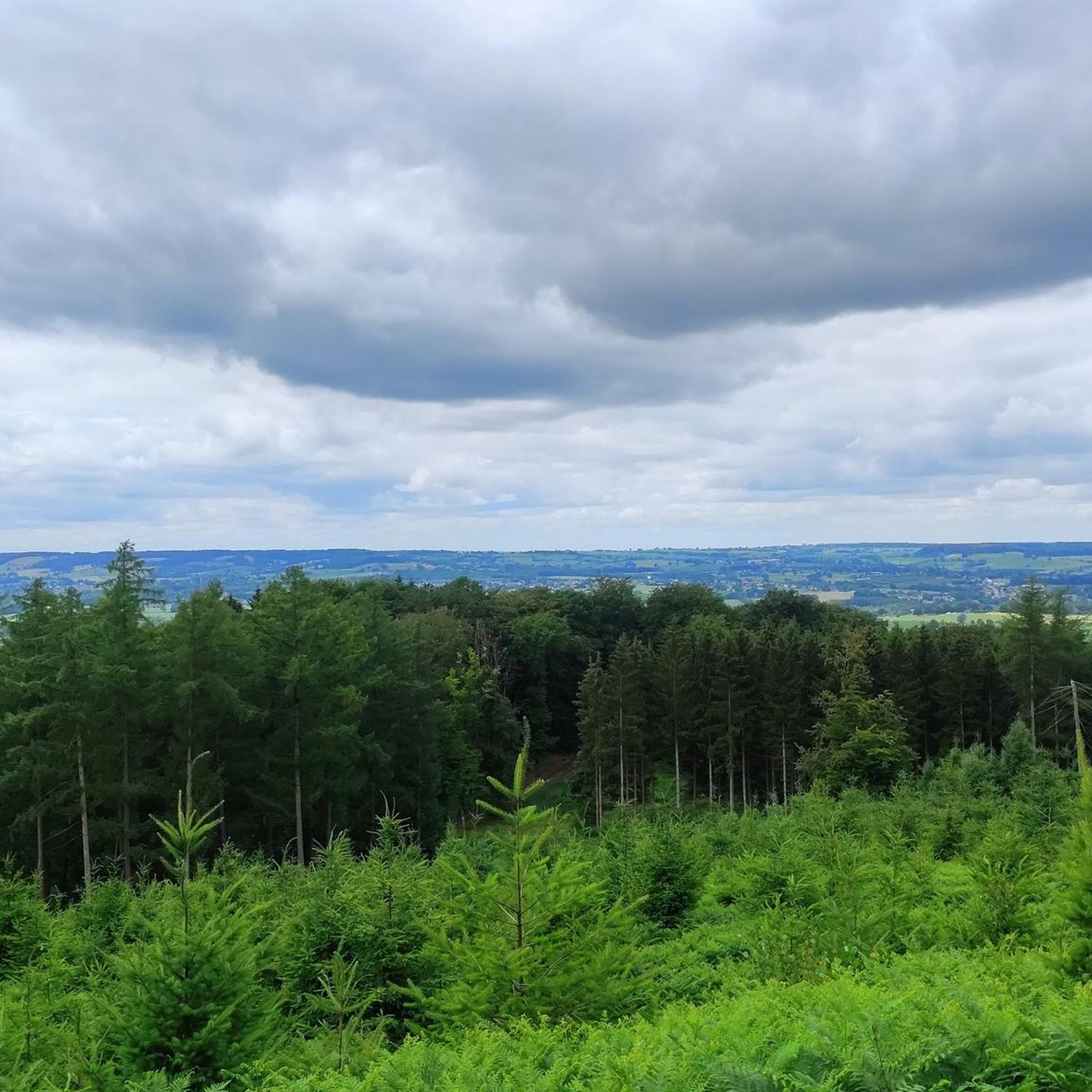
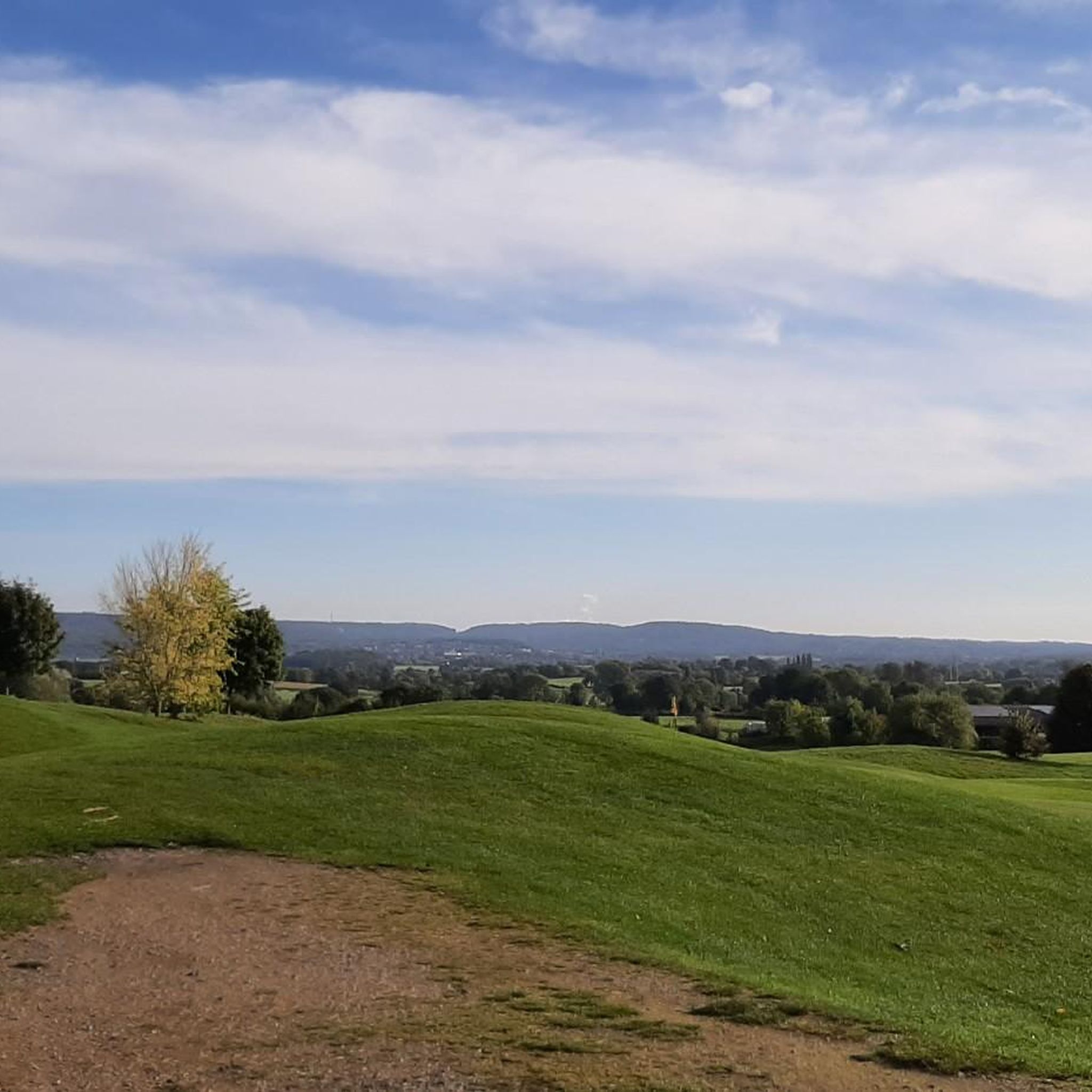
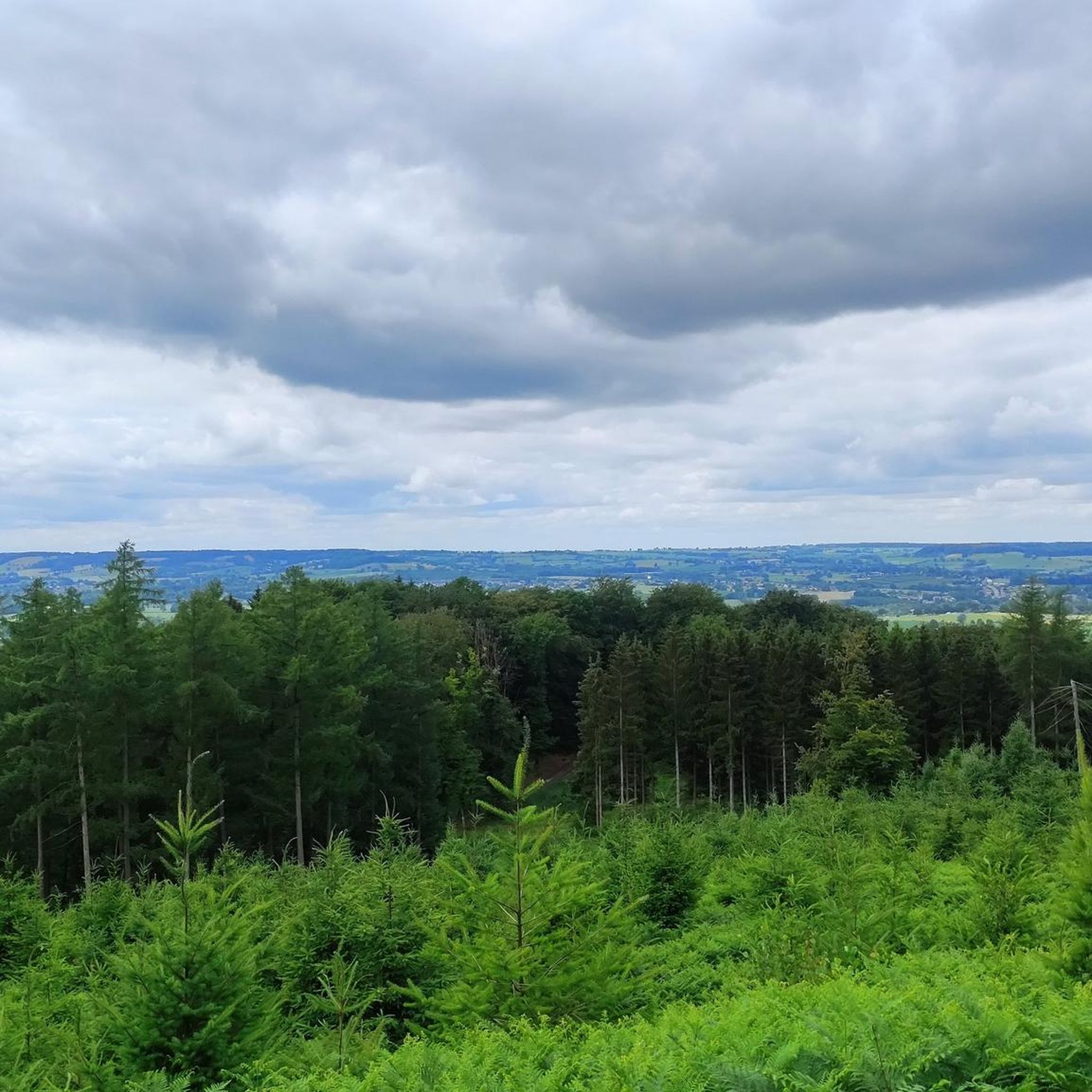
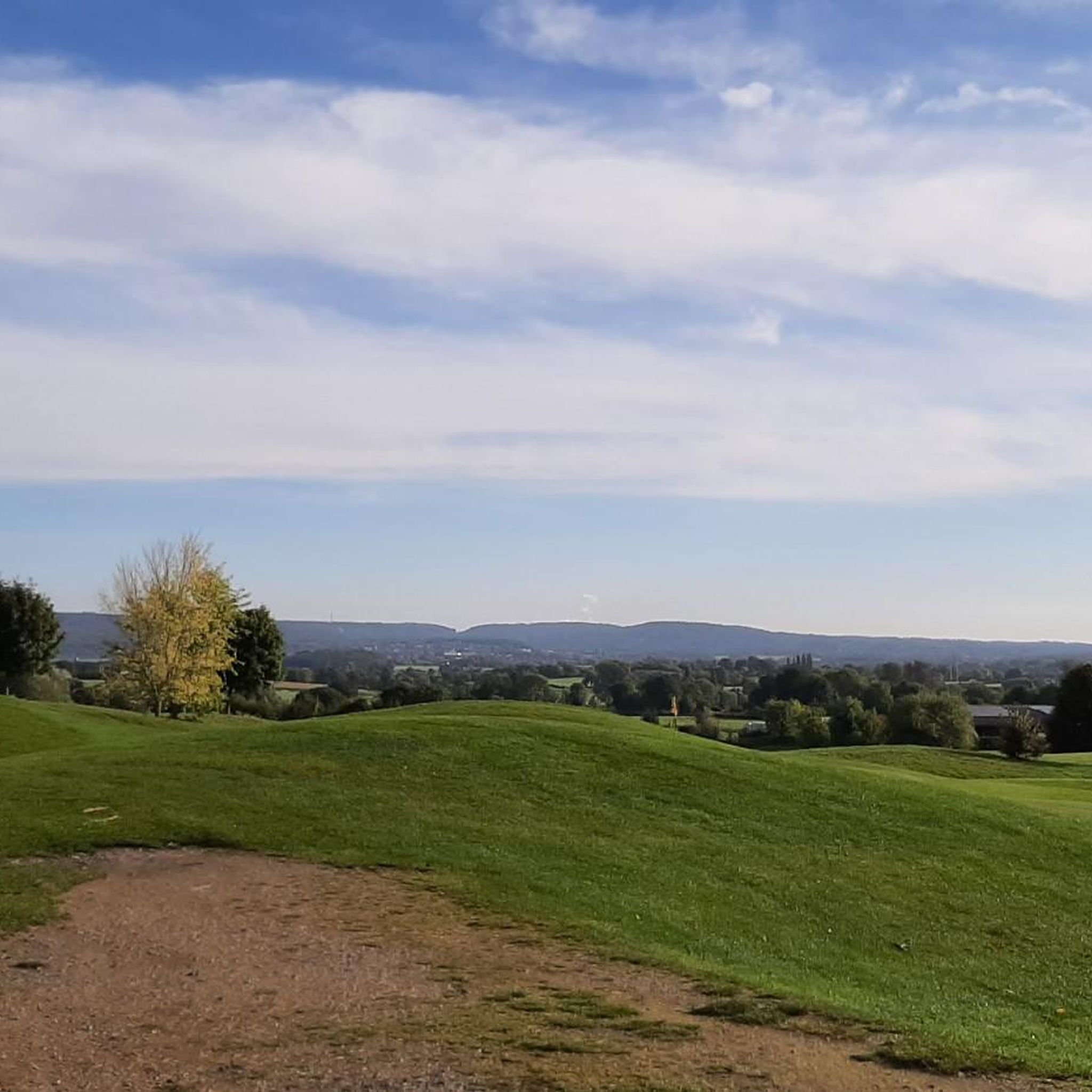
The Ardennes begin gradually in the Dutch-Belgian border region. There are wonderfully expansive views of the landscape.
0
0
The Ardennes begin gradually in the Dutch-Belgian border region. There are wonderfully expansive views of the landscape.
0
0

Beautiful chapel in Raborath
0
0
Beautiful corner on the Fontenesbach, which flows into the Lontzenerbach in the center
0
0

A very nice little route, and very safe in winter too.
0
0


A café very popular with cyclists
0
0
Frequently Asked Questions
How many hiking trails are there in Welkenraedt?
Welkenraedt offers a wide variety of hiking experiences, with over 80 trails available. These range from easy strolls through fields to more challenging routes across rolling hills and woodlands.
What do other hikers enjoy the most about hiking in Welkenraedt?
The hiking trails around Welkenraedt are highly rated by the komoot community, with an average score of 4.4 stars from over 900 reviews. Hikers often praise the region's diverse landscapes, which include open fields, dense woodlands, and charming river valleys, as well as the well-maintained paths connecting local villages.
What is the best time of year to hike in Welkenraedt?
Welkenraedt offers enjoyable hiking throughout the year. Spring brings blooming wildflowers and lush greenery, while summer provides warm weather for exploring the open fields. Autumn is popular for its vibrant foliage, and even winter offers serene, crisp walks through the quiet woodlands, especially on trails with moderate elevation changes.
Are there easy hiking trails suitable for beginners or families in Welkenraedt?
Yes, Welkenraedt has plenty of easy trails perfect for beginners and families. Approximately 32 of the available routes are classified as easy. An excellent option is the Notre-Dame des Rotières Shrine loop from Welkenraedt, an easy 3.3-mile (5.3 km) trail that takes about 1 hour 20 minutes, leading through local fields and quiet paths. Another easy choice is the Grünhaut Wildlife Overpass loop from Auweg.
Are there any long-distance hiking options near Welkenraedt?
While many routes are shorter, some trails in Welkenraedt offer a more extended experience, typically around 6-7 miles (10-11 km). For example, the Flagpole and viewpoint – Narrow Footpath loop from Henri-Chapelle is 6.5 miles (10.4 km) and takes nearly 3 hours, offering scenic viewpoints. The Vieljaeren Castle – View of Aubel and Moresnet loop from Henri-Chapelle is another moderate option at 6.7 miles (10.8 km).
Can I find circular walks around Welkenraedt?
Yes, many of the hiking routes in Welkenraedt are designed as circular walks, allowing you to start and end at the same point. This is ideal for convenience, especially if you're driving. Examples include the Notre-Dame des Rotières Shrine loop from Welkenraedt and the St. Hubertus Church Lontzen – Hollow Way in Lontzen loop from Welkenraedt.
Are dogs allowed on the hiking trails in Welkenraedt?
Generally, dogs are welcome on most hiking trails in the Welkenraedt region, especially in the open countryside and woodlands. However, it's always advisable to keep them on a leash, particularly when passing through agricultural areas or near livestock, and to check for any specific local regulations or protected areas that might have restrictions.
Where can I find parking for hiking trails in Welkenraedt?
Many trailheads in and around Welkenraedt, especially those starting from villages or popular viewpoints, offer designated parking areas. For routes beginning in Henri-Chapelle or Welkenraedt town, you can often find street parking or small public car parks. It's recommended to check the specific tour details on komoot for parking suggestions near your chosen starting point.
Is it possible to access hiking trails in Welkenraedt using public transport?
Welkenraedt has a train station, making it accessible by public transport. From the station, you can often find local bus connections to nearby villages, which serve as starting points for various hikes. Several trails, like the Notre-Dame des Rotières Shrine loop, start directly from Welkenraedt itself, making them easily reachable without a car.
What kind of natural attractions or landmarks can I see while hiking in Welkenraedt?
The region around Welkenraedt is rich in natural beauty and historical sites. You can explore the Hohnbach Valley, known for its scenic river and gorges, or discover the unique Nutons' Cave. Nearby, you'll also find impressive man-made structures like the Weser Reservoir (Eupen Dam) and the iconic Gileppe Dam Lion, offering diverse points of interest along your hikes.
Are there any trails with scenic viewpoints in the Welkenraedt area?
Yes, the rolling hills of Welkenraedt provide several opportunities for scenic viewpoints. The Flagpole and viewpoint – Narrow Footpath loop from Henri-Chapelle is specifically highlighted for its scenic vistas. Many routes traversing the higher elevations offer expansive views over the agricultural landscapes and mixed woodlands of the Belgian Ardennes foothills.
Are there cafes or places to eat near the hiking trails in Welkenraedt?
Yes, many hiking routes in Welkenraedt pass through or near charming villages where you can find local cafes, restaurants, or traditional Belgian taverns. Welkenraedt town itself offers several options for refreshments. For specific routes, checking the komoot tour details can often reveal nearby points of interest, including eateries, to plan your breaks.
Most popular routes around Welkenraedt
Most popular attractions around Welkenraedt

Get inspired with the komoot mobile app


Explore more
Browse the best Hikes in other regions.
