The best walks and hikes in Bezirk Urfahr-Umgebung
4.5
(5171)
31,332
hikers
1,410
hikes
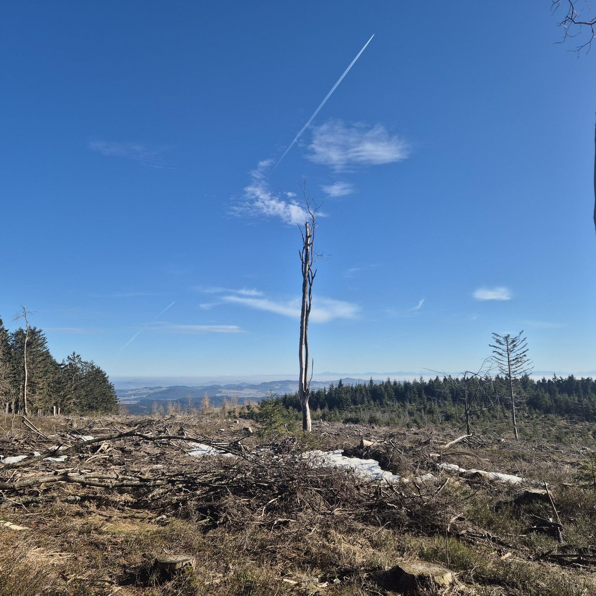
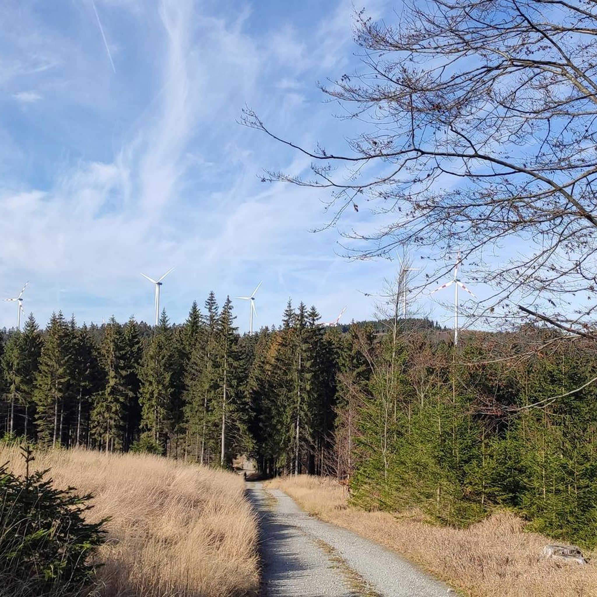
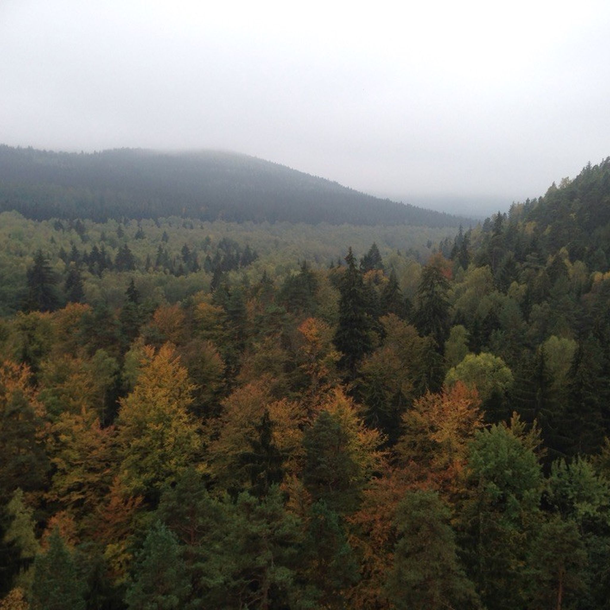
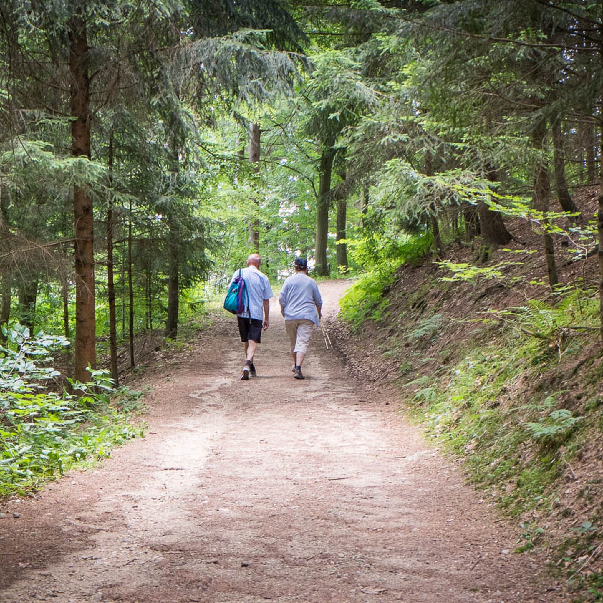
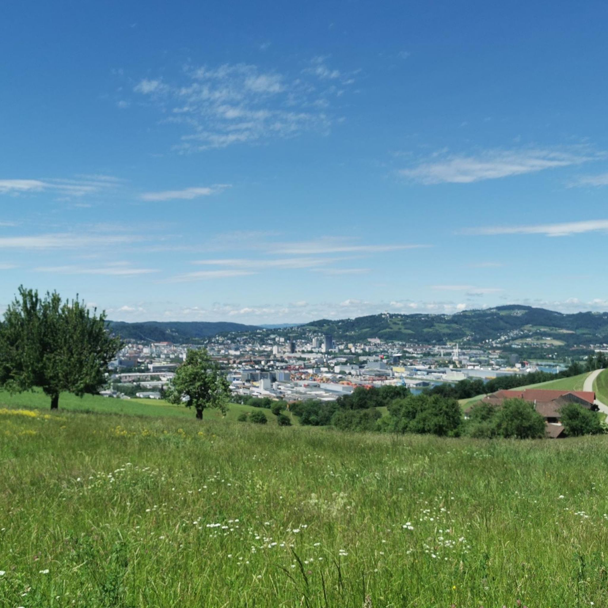
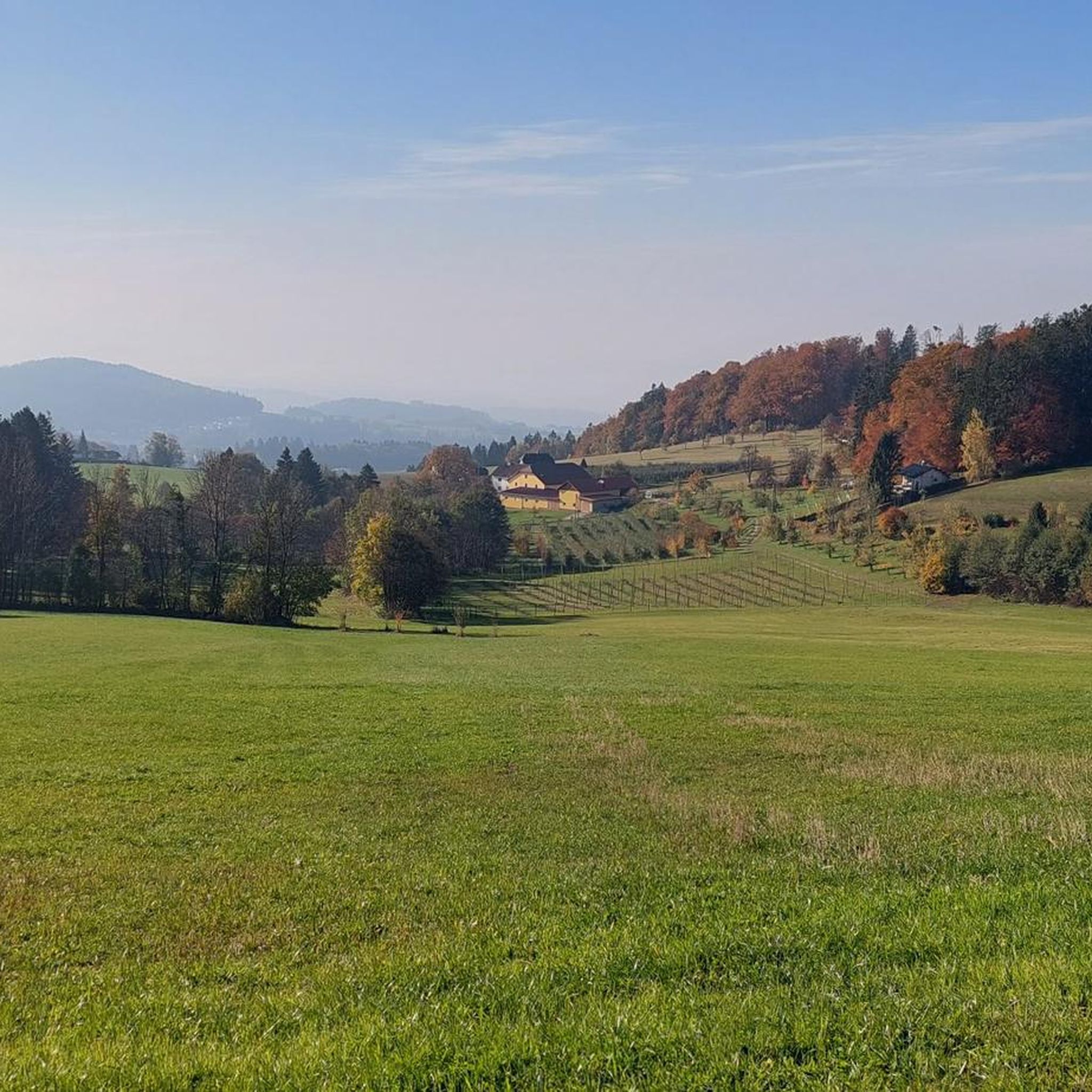
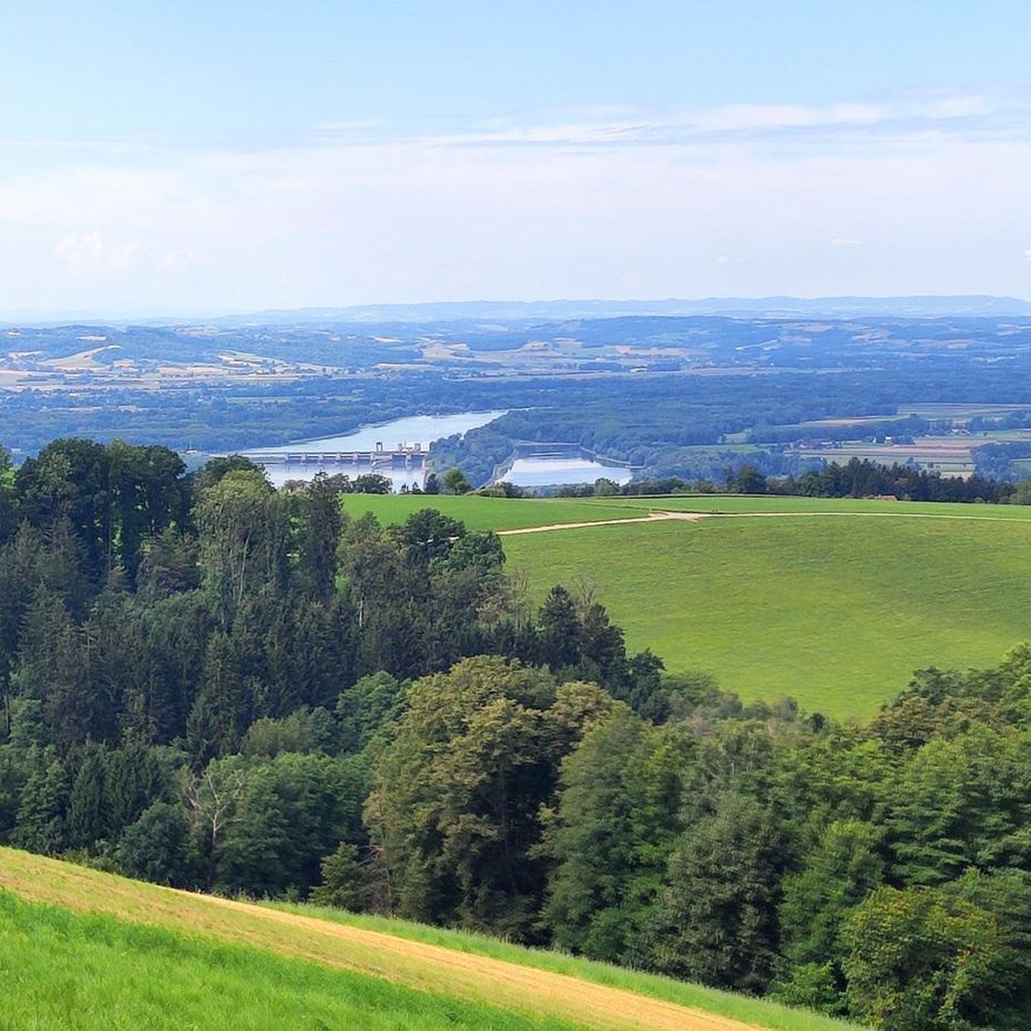
Hiking trails in Bezirk Urfahr-Umgebung traverse a diverse landscape of rolling hills, dense forests, and clear waterways at the foot of the Mühlviertel region. The area is characterized by unique granite formations, such as the Kerzenstein in the Pesenbachtal, and includes Austria's highest high moor, the Tanner Moor. These natural features provide varied terrain for outdoor activities, extending along the Danube.
Best hiking trails in Bezirk Urfahr-Umgebung
- The most popular hiking route is Yellow pond – Pesenbachsteig Trail loop from…
Last updated: August 21, 2026
4.8
(104)
696
hikers
5.93km
01:42
130m
140m
Easy hike. Great for any fitness level. Easily-accessible paths. Suitable for all skill levels.
4.8
(54)
296
hikers
Moderate hike. Good fitness required. Easily-accessible paths. Suitable for all skill levels.

Sign up for free
4.8
(46)
257
hikers
9.42km
02:53
330m
330m
Moderate hike. Good fitness required. Easily-accessible paths. Suitable for all skill levels.
4.8
(78)
354
hikers
5.17km
01:33
170m
170m
Easy hike. Great for any fitness level. Easily-accessible paths. Suitable for all skill levels.
4.6
(54)
275
hikers
Moderate hike. Good fitness required. Easily-accessible paths. Suitable for all skill levels.
4.8
(48)
259
hikers
8.82km
02:34
230m
230m
Moderate hike. Good fitness required. Easily-accessible paths. Suitable for all skill levels.
4.8
(53)
169
hikers
3.83km
01:10
130m
130m
Easy hike. Great for any fitness level. Easily-accessible paths. Suitable for all skill levels.
4.7
(47)
252
hikers
8.70km
02:41
310m
310m
Moderate hike. Good fitness required. Easily-accessible paths. Suitable for all skill levels.
4.5
(89)
495
hikers
Moderate hike. Good fitness required. Easily-accessible paths. Suitable for all skill levels.
4.6
(47)
269
hikers
Moderate hike. Good fitness required. Easily-accessible paths. Suitable for all skill levels.
Get access to more routes and recommendations from other explorers.
Sign up for free
Already have an account?
Our route recommendations are based on thousands of hikes, rides, and runs completed by other people on komoot.
Start today with a free account
Your next adventure awaits.
Login or Signup
Popular around Bezirk Urfahr-Umgebung
Other adventures in Bezirk Urfahr-Umgebung


Tips from the Community

In 2020, the chapel was extensively renovated.
4
0
The current cross was consecrated in 1973 and is today a well-known landmark for hikers and cyclists
5
0
Built in 1856 and named after Princess Gisela, a daughter of Emperor Franz Joseph. In 1960, two stories were added.
4
0

If you do the loop trail, you will pass right by it.
0
0
Great trail, only the railings could do with a repair.
0
0
Great stories about the old Bezebub
0
0
Beautiful what nature can create
0
0
Frequently Asked Questions
How many hiking trails are available in Bezirk Urfahr-Umgebung?
Bezirk Urfahr-Umgebung offers a vast network of over 1400 hiking trails. These routes cater to various preferences, from easy strolls to more challenging ascents, traversing rolling hills, dense forests, and clear waterways.
What kind of terrain can I expect on hikes in Bezirk Urfahr-Umgebung?
The region is characterized by diverse terrain, including idyllic forests, gentle rolling hills, and unique granite formations. You'll find clear streams and valleys like the Pesenbachtal and Rodltal, offering picturesque landscapes. The area also features Austria's highest high moor, the Tanner Moor, adding to its natural variety.
Are there any family-friendly hiking trails in Bezirk Urfahr-Umgebung?
Yes, many trails are suitable for families. For an easy and scenic option, consider the Yellow pond – Pesenbachsteig Trail loop from Ruine Oberwallsee, which is just under 6 km and explores the beautiful Pesenbachtal. The Pesenbachtal itself is known for its natural beauty and is a great place for a family outing.
Are there any dog-friendly hiking trails in the region?
Most hiking trails in Bezirk Urfahr-Umgebung are dog-friendly, provided dogs are kept on a leash and owners clean up after them. The diverse landscapes of forests and open paths offer plenty of opportunities for you and your dog to enjoy the outdoors. Always check local regulations for specific areas or nature reserves.
What are some notable natural features or landmarks to see while hiking?
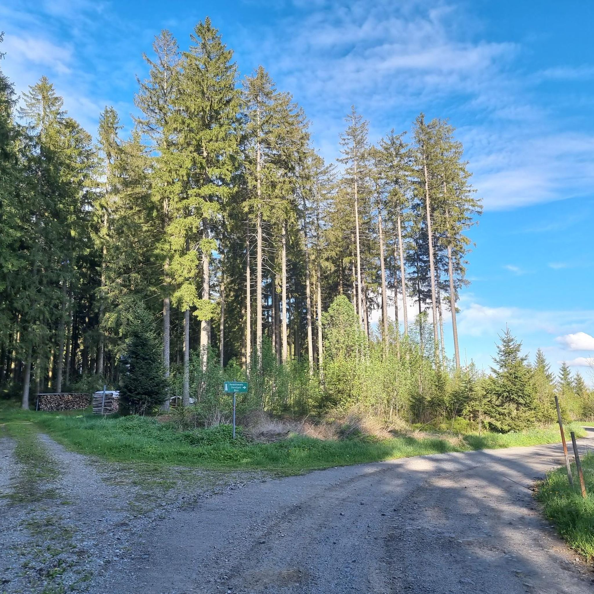
Hikers can discover several unique natural features and landmarks. The impressive twelve-meter-high Kerzenstein granite formation in the Pesenbachtal is a striking sight. You can also visit the Sternstein Observation Tower for expansive views or explore the unique environment of the Tanner Moor, Austria's highest high moor.
Are there any circular hiking routes available?
Yes, many routes in Bezirk Urfahr-Umgebung are circular, offering convenient starting and ending points. An example is the moderate Roadlberg Observation Tower – Roadlhof Inn loop from Alberndorf in der Riedmark, which provides expansive views and returns to its starting point.
Where can I find good viewpoints or panoramic vistas?
For breathtaking panoramic views, head to the Sternstein Observation Tower. The 'Kaiser Franz Joseph Jubiläumswarte' offers expansive views stretching from the Böhmerland to Schöninger and other distant peaks. Another great option is the Giselawarte – Zur Gis Inn loop from Lichtenberg, which leads through forested hills with scenic outlooks.
Are there any historical sites or castles to explore on hikes?
Yes, the region offers historical sites. The Burgruine Waxenberg (Waxenberg Castle ruins) is an important historical landmark that provides a glimpse into the region's past and offers views of the surrounding Mühlviertel from its tower. You can incorporate a visit to these ruins into your hike.
What do other hikers enjoy most about hiking in Bezirk Urfahr-Umgebung?
The komoot community highly rates the hiking experience in Bezirk Urfahr-Umgebung, with an average score of 4.6 stars from over 4500 reviews. Hikers often praise the diverse landscape, well-maintained trails, and the serene backdrop of idyllic forests and clear streams. The variety of routes, from easy to moderate, also makes it appealing to a wide range of outdoor enthusiasts.
Are there any trails that pass by lakes or offer swimming opportunities?
While not directly on a hiking trail in our selection, the Franz Stelzhamer Monument – Panzerhöcker Memorial loop from Bad Leonfelden is near the Feldkirchner Badeseen (Feldkirchen bathing lakes), which provide opportunities for swimming and relaxation. The Pleschinger See is also ideal for leisurely strolls and is easily accessible.
Are there options for longer, more challenging hikes?
While many trails are easy to moderate, some offer a greater challenge. For a longer moderate hike, consider the Sternstein Observation Tower – Forest tavern at the Sternstein loop from Bad Leonfelden, which covers over 15 km and includes significant elevation gain, leading to the observation tower and a forest tavern.
Can I find places to eat or rest along the trails?
Yes, several routes pass by or lead to inns and taverns where you can rest and refuel. For instance, the Zur Gis Inn – Schönanger Chapel loop from Eidenberg includes a stop at the Zur Gis Inn. Other options include the Roadlhof Inn and the Forest tavern at the Sternstein.
Are there any unique cultural or themed hikes in the region?
Beyond natural beauty, the region offers culturally rich hikes. The '10-Mühlen-Wanderung' (10-Mill-Hike) in Reichenthal follows idyllic stream banks past historic mills, offering a glimpse into local heritage. Another option is the '7-Kapellen-Roas' (7-Chapel-Hike) in Feldkirchen, which provides scenic views alongside cultural exploration.
Most popular routes in Bezirk Urfahr-Umgebung
Most popular attractions in Bezirk Urfahr-Umgebung

Get inspired with the komoot mobile app


Didn’t find what you were looking for?
Check out more Hikes throughout Bezirk Urfahr-Umgebung below and find the perfect route in your destination.
Explore more
Browse the best Hikes in other regions.
