The best walks and hikes around Oreye
4.4
(5771)
27,998
hikers
12
hikes
Hiking trails around Oreye traverse a landscape characterized by gentle elevations and historical landmarks. The region features water bodies like the Jeker river and historical sites such as Château d'Otrange and ancient tumuli. Trails often follow river paths and lead through open countryside, offering accessible outdoor experiences. The terrain is generally flat to gently rolling, with minimal elevation gain.
Best hiking trails around Oreye
- The most popular hiking route is Water retention basin on the Jeker – Mariagrot loop from…
Last updated: November 1, 2026
4.7
(51)
180
hikers
Moderate hike. Good fitness required. Easily walkable paths.
5.0
(2)
15
hikers
4.10km
01:03
20m
20m
Easy hike. Easily walkable paths.

4.5
(4)
12
hikers
11.6km
03:02
80m
80m
Moderate hike. Good fitness required. Easily walkable paths.
3.5
(2)
14
hikers
Easy hike. Easily walkable paths.
5
hikers
2.66km
00:42
30m
30m
Easy hike. Easily walkable paths.
Get access to more routes and recommendations from other explorers.
Already have an account?
Our route recommendations are based on thousands of hikes, rides, and runs completed by other people on komoot.
Start today with a free account
Your next adventure awaits.

Tips from the Community

the Geer, the Jeker in Dutch
3
0

The Jeker normally discharges a few m3 per second and can also effortlessly handle 10 m3 per second. But during long and heavy rainfall, Lauw has had to deal with unwanted flooding eight times since 1945, resulting in major material damage and, above all, a lot of human suffering. This holding basin is one of the solutions that were created to prevent this in the future.
5
0
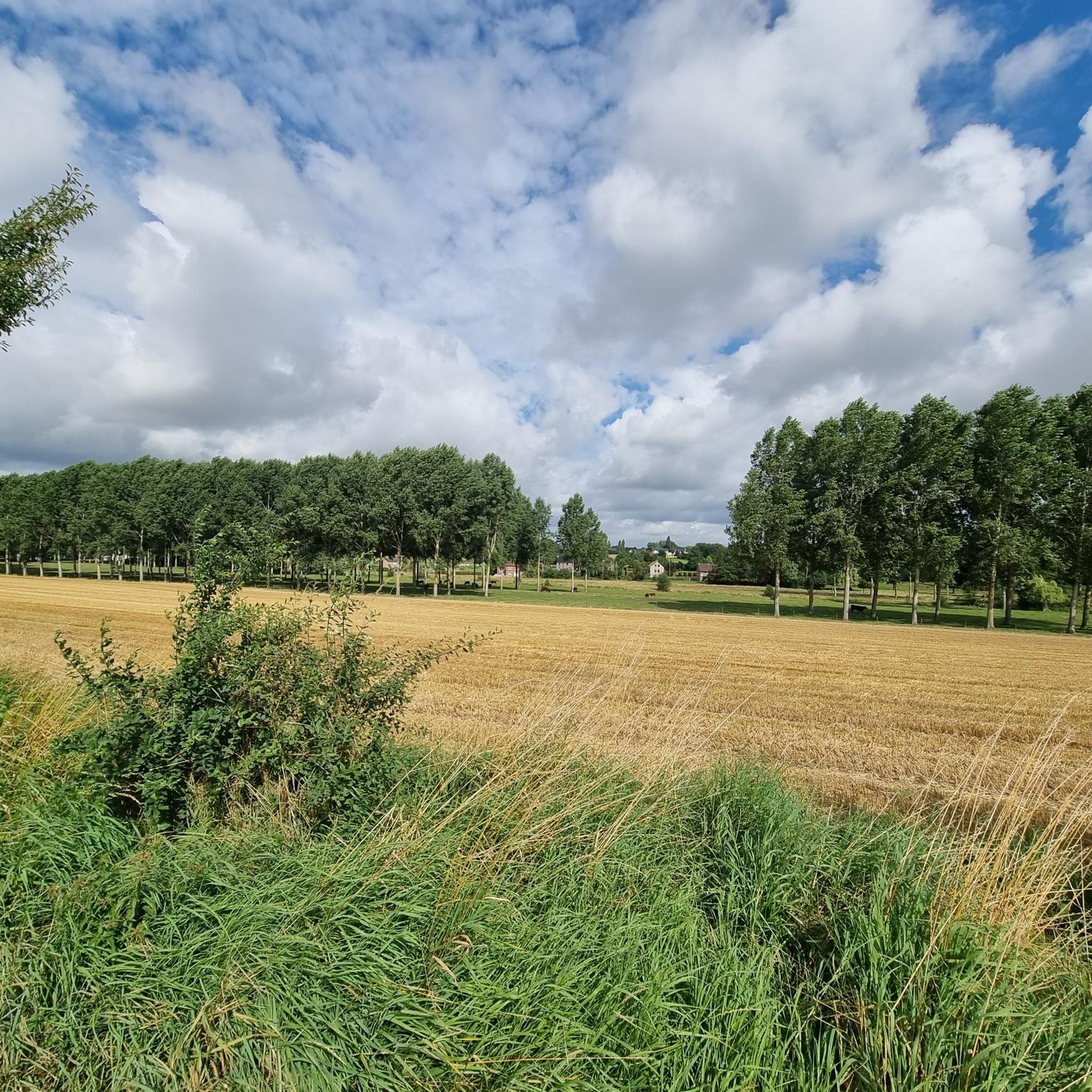
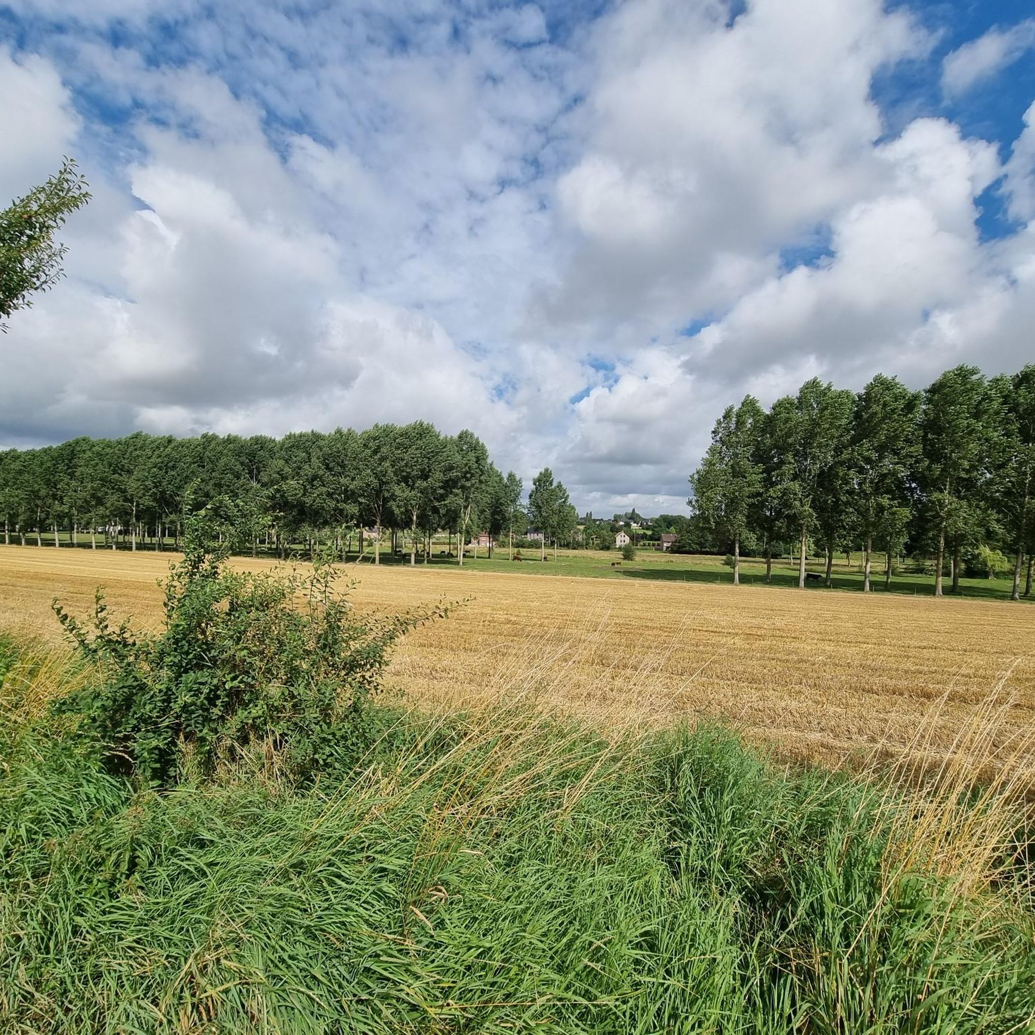
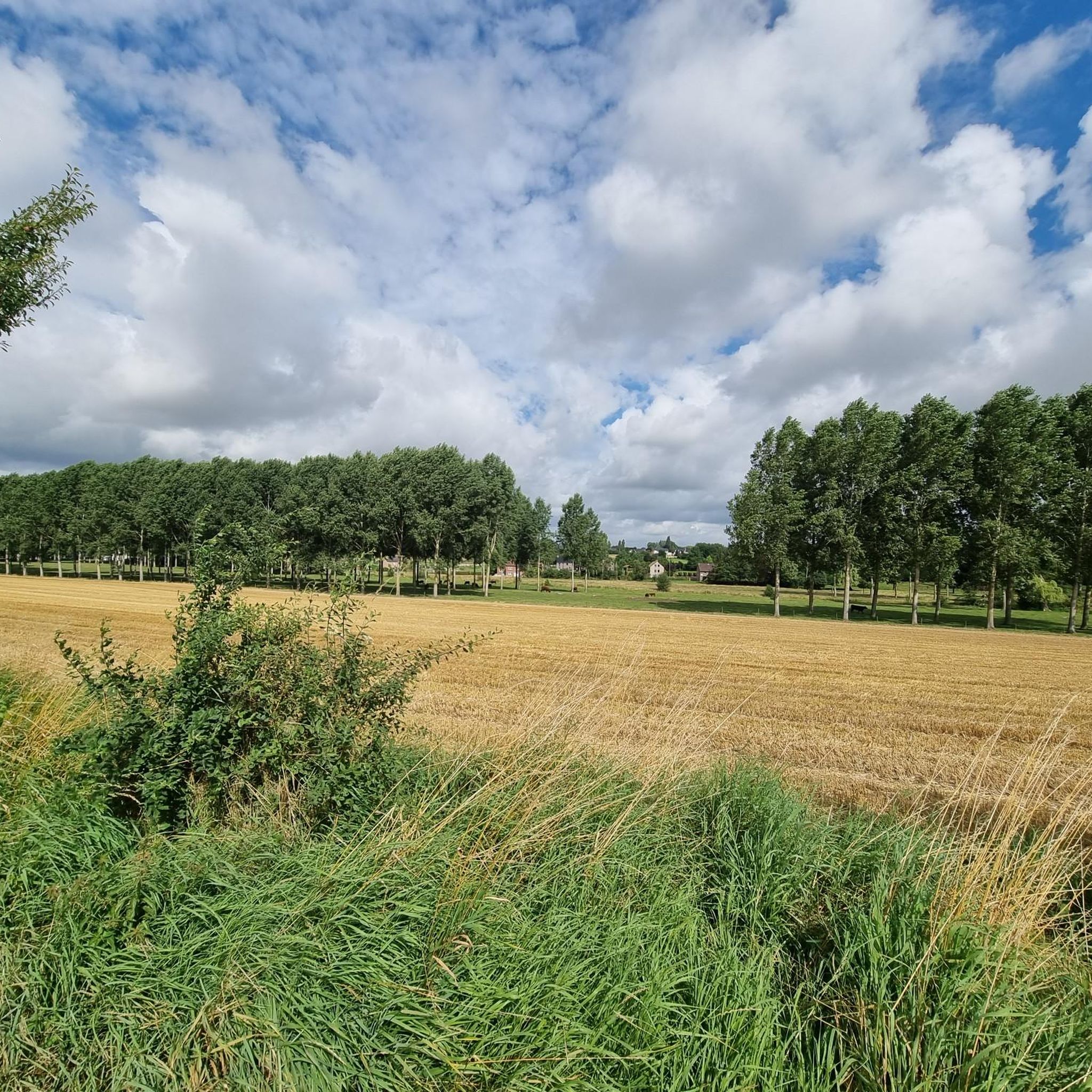
The undulating relief and the fertile, loamy slopes of the Jeker Valley are surrounded by open arable areas, with mainly old hayfields in the valley surrounded by hawthorn hedges. This walk takes you along the watercourse, through the village and the sunken roads to the 'Jekervallei' nature reserve.
5
0
Chapel located on the Daalmolenweg opposite the former Daalmolen and dedicated to Our Lady. Dating from around 1930.
3
0

Small grotto with figures of saints on the Jeker.
2
0
The Sint-Pieterskerk is a church building in Lauw in the Belgian municipality of Tongeren in the province of Limburg. The church is located on the Lauwstraat, the main street through the village. About 50 meters to the south, on the other side of the street, is the higher walled cemetery. The neo-Gothic building consists of a protruding west tower with three sections and a constricted needle spire, a basilical three-aisled nave with three bays, a transept with three-sided closure of both transept arms and a five-sided closed choir with a straight bay. The tower is equipped with superimposed buttresses and has a polygonal stair turret on the south side. On the north side of the tower is an octagonal baptistery and on the south side is a portal. In the west facade of the tower there is a pointed arch portal surmounted by a rose window, and there are also pointed arches in each facade. The central aisle is covered by a gable roof with slates and the two side aisles with pent roofs. The whole building is built in brick and finished with freestone and marl stone for corner blocks and decorative elements. The different parts of the building all have buttresses marking the bays and have pointed arch windows with tracery. The central nave also has pointed arched fanlights. The choir is lower, has a gable roof, is flanked by sacristies and on the north side is a polygonal stair turret. The transept arms have brick friezes below the cornices. Between the nave and the two aisles is a pointed arch arcade on beamed piers. Under the clerestory is a triforium. The vaulting of the building is done by rib vaults on pillars. The church is the parish church of the village and dedicated to Saint Peter.
2
0

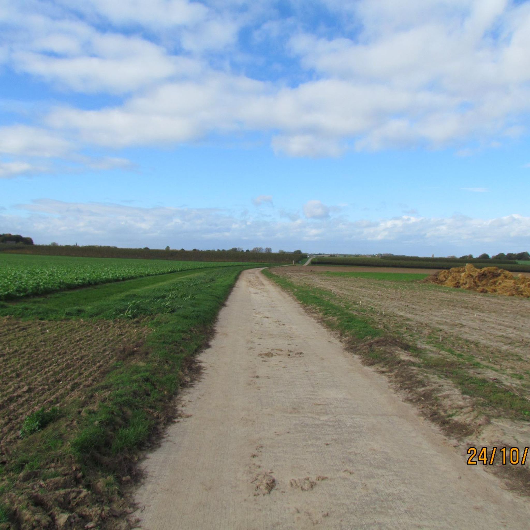
Paved path through nature, very beautiful!
0
0
Frequently Asked Questions
How many hiking trails are available around Oreye?
Oreye offers a wide selection of hiking trails, with over 900 routes recorded on komoot. This extensive network provides options for various preferences, from short, easy walks to longer, moderate excursions.
What kind of terrain can I expect on hikes in Oreye?
The hiking terrain in Oreye is generally flat to gently rolling, characterized by minimal elevation gain. Trails often follow river paths, such as along the Jeker, and lead through open agricultural landscapes and historical sites. It's suitable for hikers looking for less strenuous walks.
Are there family-friendly hiking options in Oreye?
Yes, Oreye is well-suited for family-friendly hikes due to its generally easy and gently rolling terrain. Many routes are short and accessible, perfect for all ages. For example, the Château d'Otrange loop from Oreye is an easy 4.1 km path that leads past a historic landmark, offering an engaging experience for families.
Can I bring my dog on the hiking trails in Oreye?
Most trails in Oreye are dog-friendly, allowing you to enjoy the countryside with your canine companion. Given the agricultural nature of the region, it's always advisable to keep dogs on a leash, especially when passing through fields or near livestock, and to respect local regulations. The open landscapes and river paths provide pleasant walking conditions for both you and your dog.
What interesting landmarks or natural features can I see while hiking in Oreye?
Hiking in Oreye allows you to explore both historical landmarks and natural features. You can encounter historical sites like the Heks Castle or the Castle of Betho. Natural highlights include the Jeker river and its water retention basins, as well as the Haut-Geer Nature Reserve. The Tumulus d'Otrange loop from Oreye is a short, easy route that takes you past ancient burial mounds.
Are there any circular hiking routes in Oreye?
Yes, many of the hiking routes in Oreye are circular, offering convenient starting and ending points. A popular option is the Water retention basin on the Jeker – Mariagrot loop from Oreye, a moderate 9.2 km trail that explores the river basin and passes by the Mariagrot.
What is the best time of year to go hiking in Oreye?
The best time to hike in Oreye is generally during the spring, summer, and early autumn months (April to October). During these periods, the weather is typically mild and pleasant, making for comfortable walking conditions through the open landscapes and along the river paths. Spring brings blooming wildflowers, while autumn offers beautiful foliage.
What do other hikers say about the trails in Oreye?
The hiking trails in Oreye are highly regarded by the komoot community, holding an average rating of 4.39 stars from over 4900 reviews. Hikers often praise the peaceful, accessible nature of the routes, the gentle scenery, and the blend of natural and historical points of interest.
Is parking available at the trailheads in Oreye?
While specific parking facilities for every trailhead are not always explicitly marked, Oreye is a rural area, and street parking is generally available in and around the villages where many routes begin. It's advisable to check local signage and be mindful of residential areas when parking.
Are there any longer, more challenging hikes in Oreye?
While Oreye is known for its generally easy to moderate terrain, there are longer routes available for those seeking a more extended walk. For instance, the Water retention basin on the Jeker loop from Oreye is a moderate 11.6 km trail, offering a longer exploration of the river basin and surrounding countryside.
Are there any viewpoints or observation towers along the trails?
Yes, you can find opportunities for scenic views. The Observation tower Nature reserve De Herkwinning is a notable highlight in the vicinity, offering elevated perspectives of the natural landscape. Many trails also provide open vistas across the agricultural fields and gentle hills of the region.
Can I reach hiking trails in Oreye using public transport?
Oreye is a smaller municipality, and while public transport options exist, they might be less frequent than in larger cities. It's recommended to check local bus schedules for connections to Oreye and surrounding villages. Many trails are accessible from the town center or nearby hamlets, making it possible to start your hike after arriving by public transport.
Most popular attractions around Oreye

Get inspired with the komoot mobile app


Explore more
Browse the best Hikes in other regions.
