The best walks and hikes around Vresse-Sur-Semois
4.5
(4079)
19,293
hikers
482
hikes
Hiking around Vresse-Sur-Semois offers exploration of the Walloon Region of Belgium, characterized by the meandering Semois River and its deeply incised valleys. The landscape features rolling hills, dense forests, and unique rock formations. This area provides a diverse environment for outdoor activities, with trails often following the riverbanks and ascending to panoramic viewpoints.
Best hiking trails around Vresse-Sur-Semois
- The most popular hiking route is Table des Fées — loop from Bohan in the Parc National de la Vallée de la…
Last updated: October 10, 2026
4.4
(85)
345
hikers
5.65km
01:35
110m
100m
Easy hike. Great for any fitness level. Easily-accessible paths. Suitable for all skill levels.
4.6
(104)
424
hikers
11.3km
03:24
370m
370m
Moderate hike. Good fitness required. Easily-accessible paths. Suitable for all skill levels.

4.5
(38)
152
hikers
15.6km
04:30
370m
370m
Moderate hike. Good fitness required. Easily-accessible paths. Suitable for all skill levels.
4.4
(39)
142
hikers
17.6km
05:04
390m
390m
Hard hike. Very good fitness required. Mostly accessible paths. Sure-footedness required.
4.5
(30)
143
hikers
9.72km
02:45
210m
210m
Hard hike. Good fitness required. Sure-footedness, sturdy shoes and alpine experience required.
Get access to more routes and recommendations from other explorers.
Already have an account?
Our route recommendations are based on thousands of hikes, rides, and runs completed by other people on komoot.
Start today with a free account
Your next adventure awaits.
Popular around Vresse-Sur-Semois
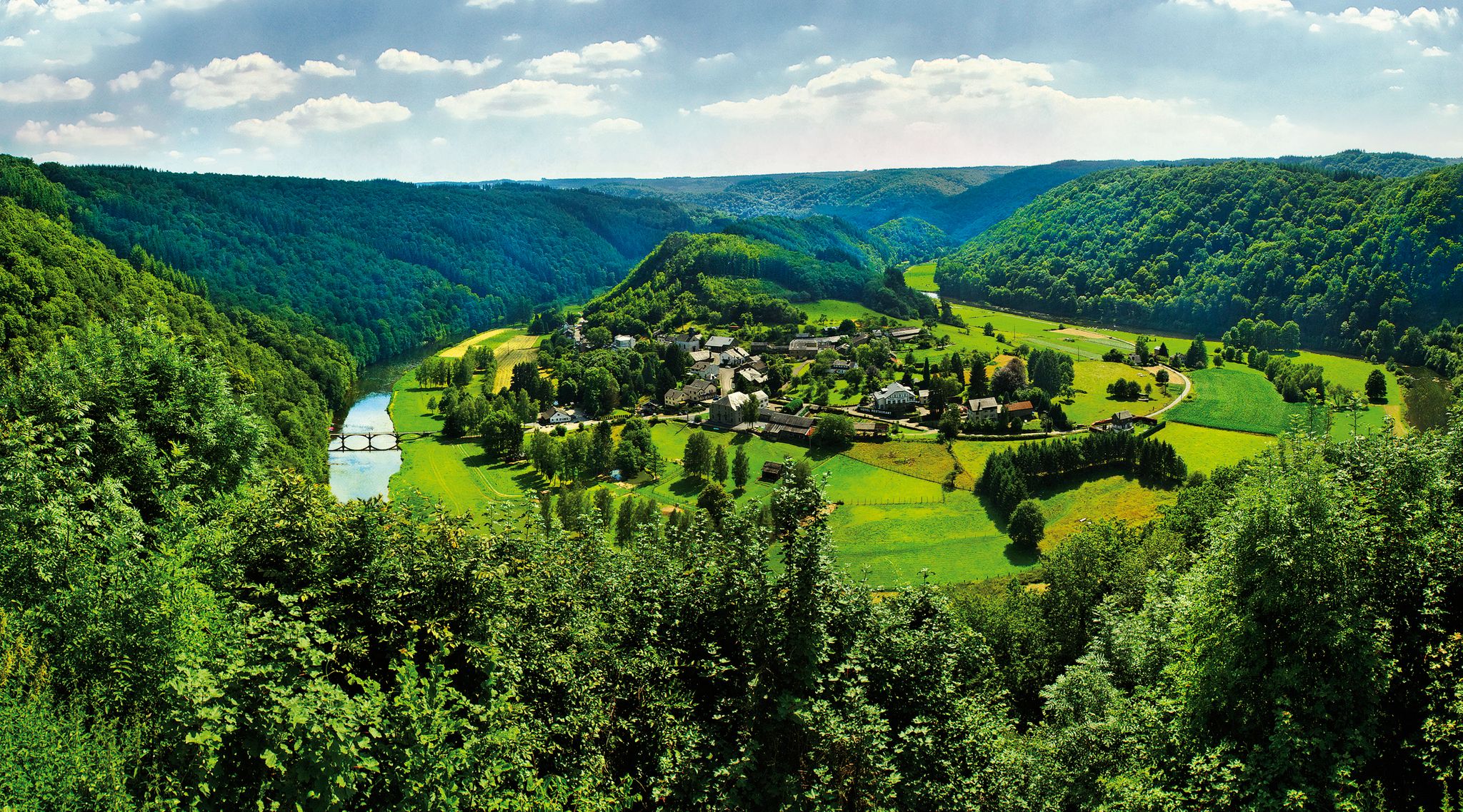
Vallée de la Semois National Park – long-distance hiking on Belgium’s GR16
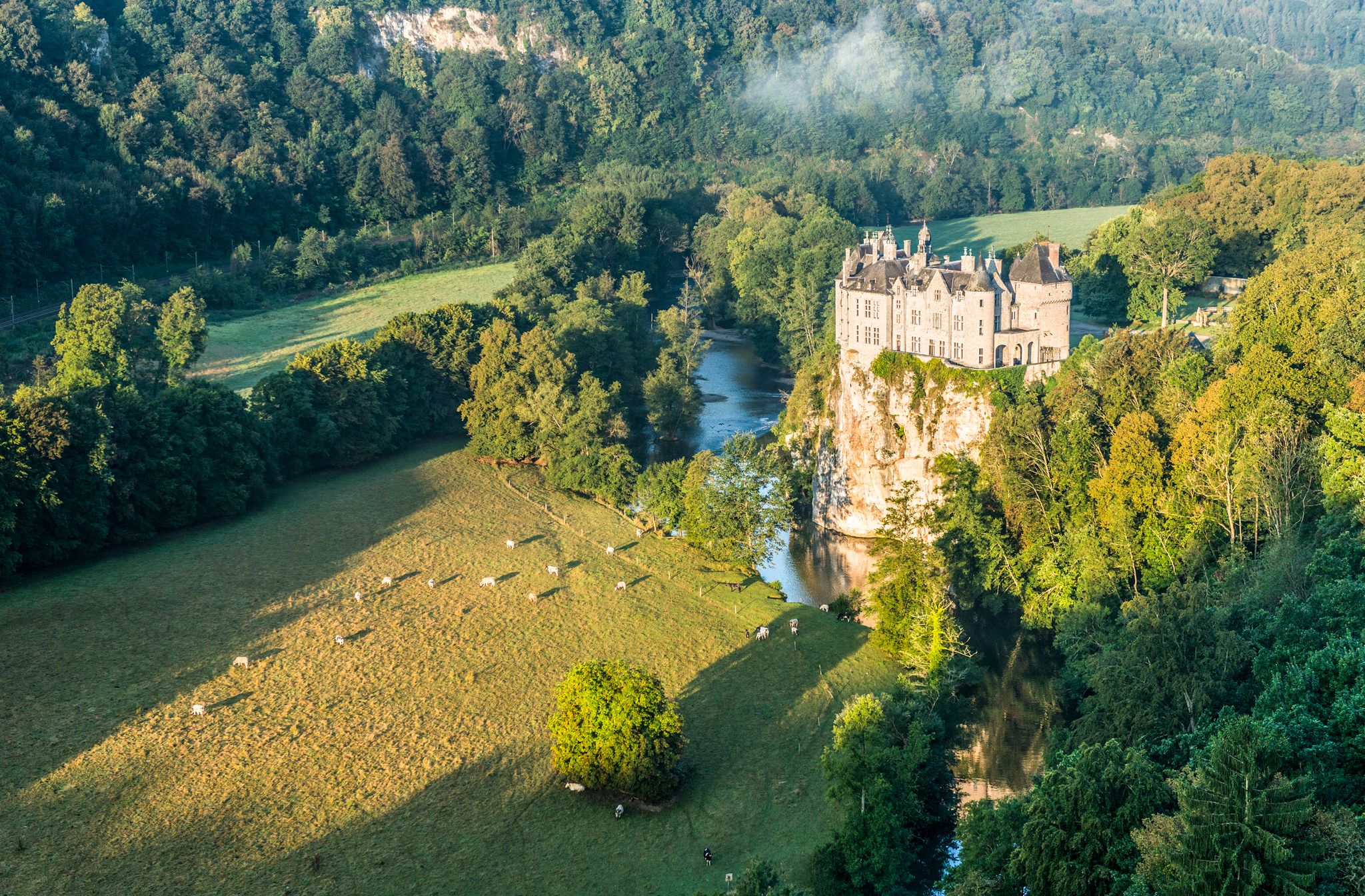
Pure nature on the hiking trails in the Belgian Ardennes
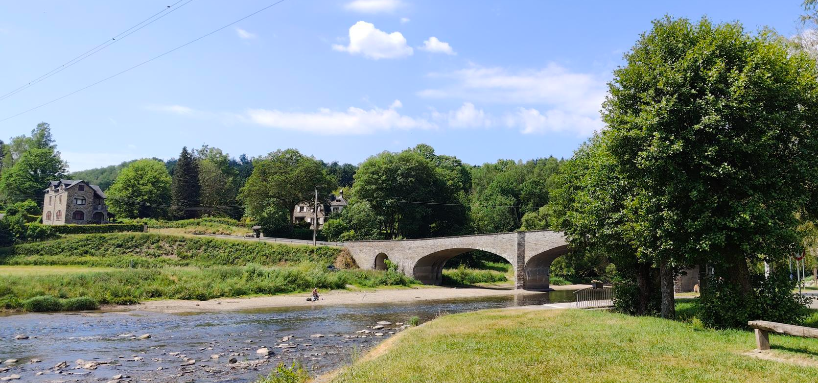
Memory and cycling remembrance duty - La Route du Maquis
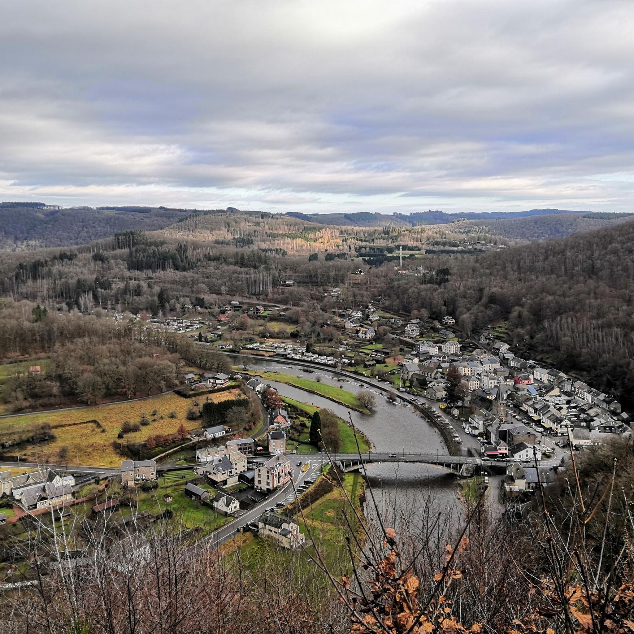
Running Trails around Vresse-Sur-Semois
Cycling around Vresse-Sur-Semois
Road Cycling Routes around Vresse-Sur-Semois
MTB Trails around Vresse-Sur-Semois
Gravel biking around Vresse-Sur-Semois
Other adventures around Vresse-Sur-Semois


Tips from the Community

Tourist office with crafts, lots of documents for green tourism and friendly staff available to advise. Hotels/brasseries/restaurants for sale making the village a bit sad. No more B&Bs! Nice bistro Le Barbiche run by a Flemish couple, nicely decorated and with a small food menu. Beach and bench for picnics on the banks of the Semois. Ravel to go towards Alle. Starting point for many walks, geological, legends and others (notably towards Laforêt, a beautiful stone village, with its hazelnut tree bridge spanning the Semois, its old tobacco dryers, washhouse, watering trough ...) with beautiful viewpoints in the surroundings.
0
0
I bought this on a whim and I'm glad I did. https://rosebudtoy.store/ It works really well and feels much more expensive than it actually is.
0
0

For people with little hiking experience, this is a difficult hike.
1
0

A short, steep descent. Difficult in wet weather.
1
0

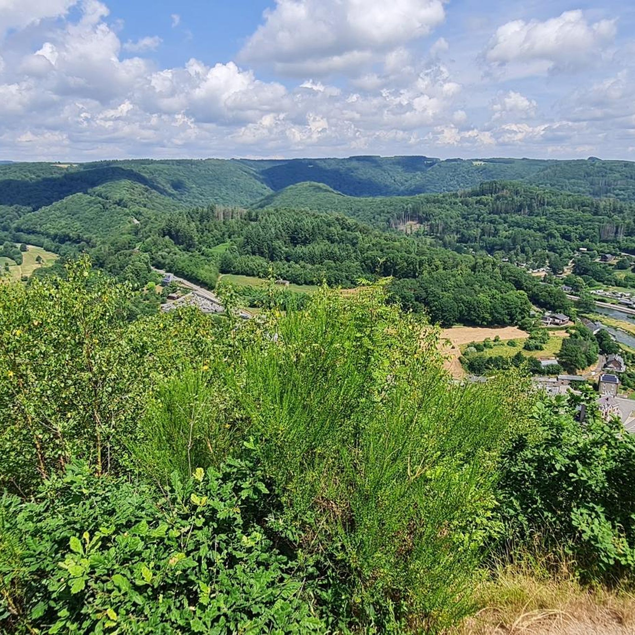
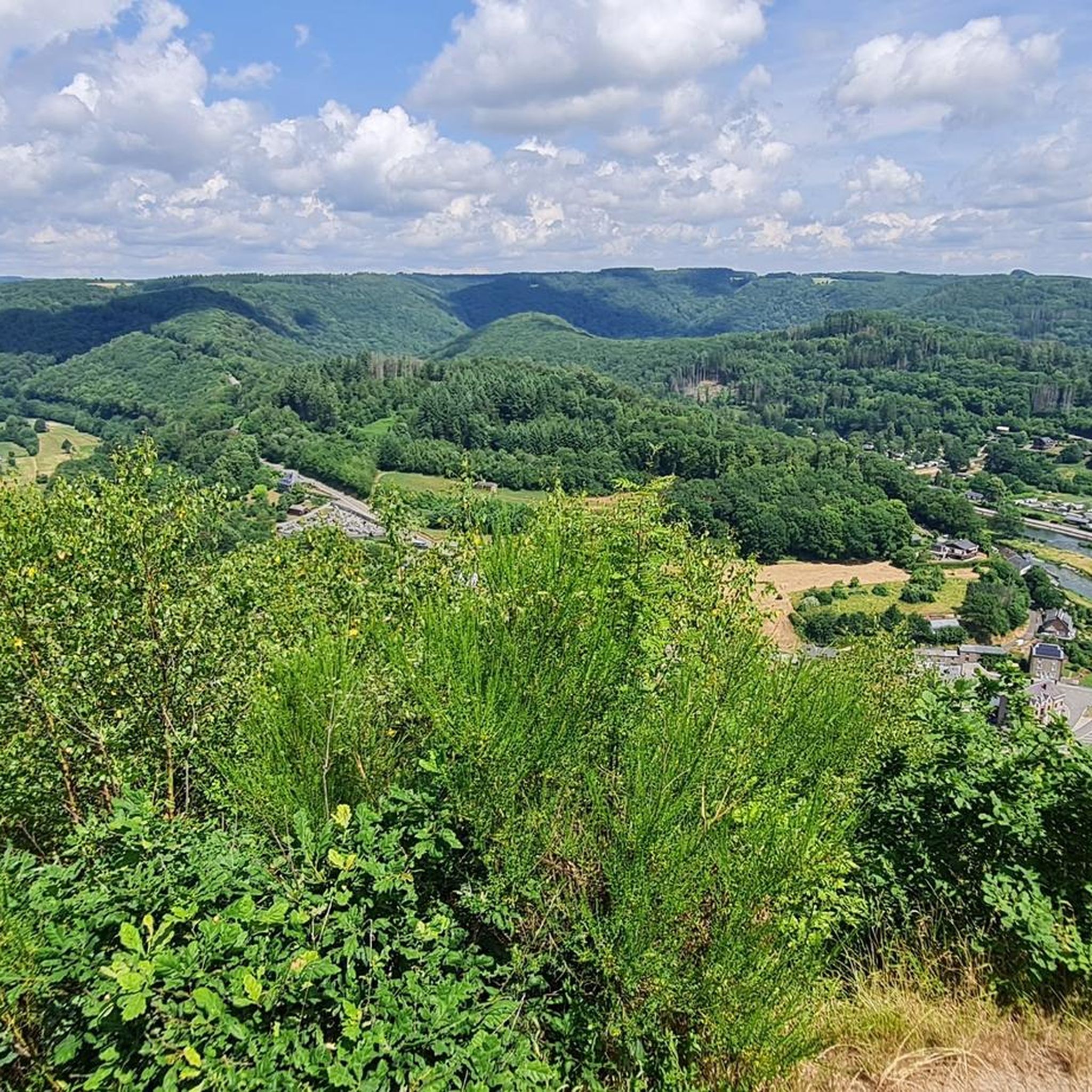
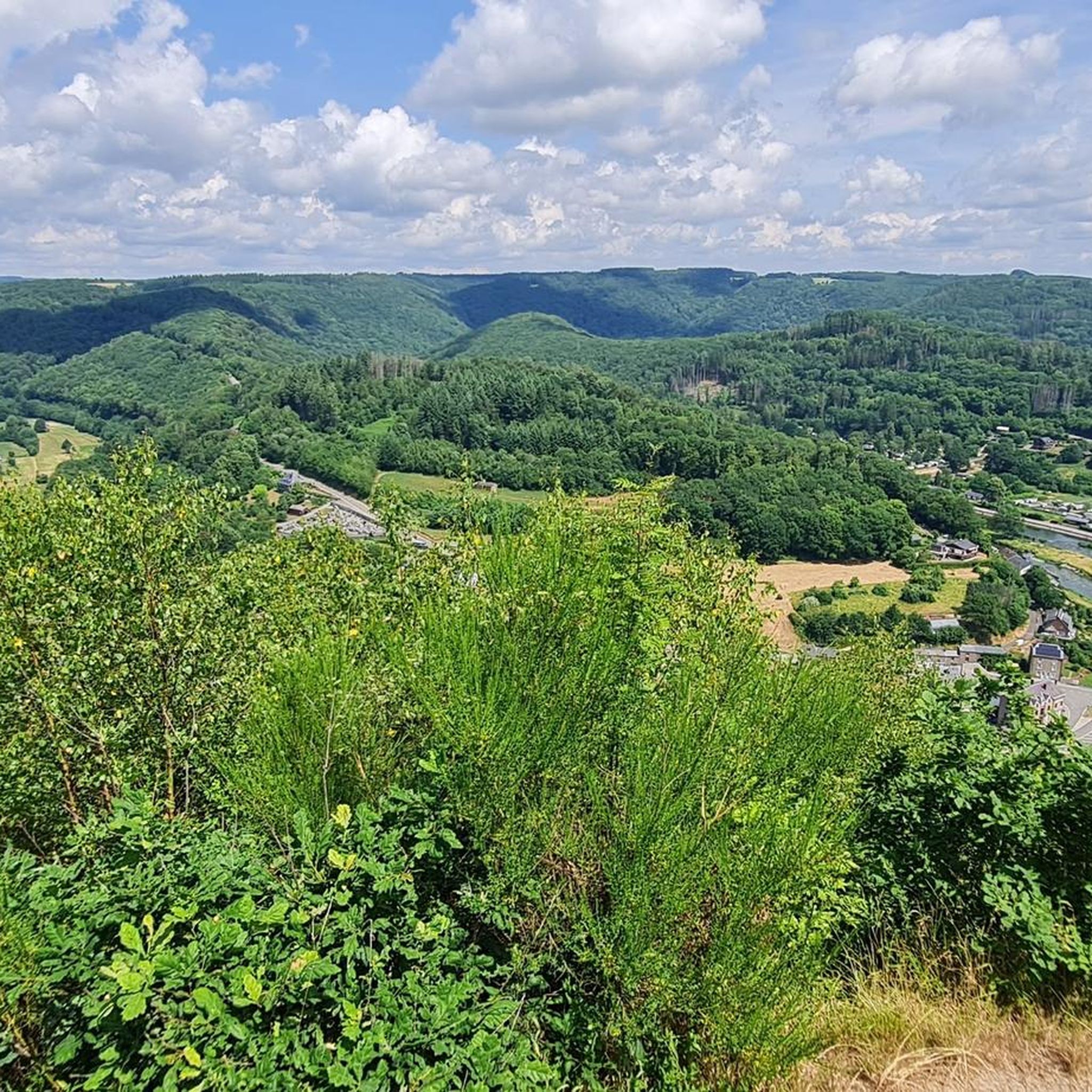
Very pretty viewpoint over the Semois with in the plain some typical tobacco drying sheds of the Semois valley. When we passed there, the area was under construction: construction of a panoramic arched footbridge overlooking the void.
2
1

Please note, as specified in the title, temporary gateway
1
0
Nice walk. Don't do it if it has rained a lot. It will be slippery and dangerous.
1
0

People are always attracted to heights. This place attracts people to come and enjoy the highlight of the region. Enjoy the meanders of the Semois and keep good memories of this moment!
1
0
Frequently Asked Questions
How many hiking trails are available around Vresse-sur-Semois?
There are over 470 hiking trails around Vresse-sur-Semois, catering to various skill levels. You'll find a wide range of options, from easy strolls along the river to more challenging routes through the Ardennes forests.
What kind of terrain can I expect on hikes in Vresse-sur-Semois?
The terrain around Vresse-sur-Semois is diverse, characterized by the meandering Semois River, verdant valleys, and rolling hills. You'll encounter paths along riverbanks, through dense forests like the Forêt de la Semois et de la Houille, and ascents to panoramic viewpoints. Some trails, especially in reserves like Basse Semois, feature unique rock formations.
Are there any easy hiking trails suitable for beginners or families in Vresse-sur-Semois?
Yes, Vresse-sur-Semois offers over 200 easy trails. A great option for families or beginners is the Table des Fées — loop from Bohan, which is 3.5 miles long and leads through the Basse Semois nature reserve, featuring notable rock formations.
What are some notable natural features or landmarks to see while hiking?
The region is rich in natural wonders. You can discover legendary rock formations like the 'Châtelet,' 'Cheminée,' and 'Table des Fées' in the Basse Semois nature reserve. Impressive vistas include the 'Point de vue « Le Jambon De La Semois »' and 'Le tombeau du géant (Botassard),' a hill formed by a Semois meander. The 'Fairy Hole' is another intriguing natural cavity.
Are there any circular hiking routes in the area?
Yes, many trails around Vresse-sur-Semois are circular, offering convenient starting and ending points. For example, the Around Conrad — loop from Orchimont is a moderate 9.7-mile circular trail through the Semois Valley National Park.
What do other hikers say about the trails in Vresse-sur-Semois?
The routes in Vresse-sur-Semois are highly rated by the komoot community, with an average score of 4.5 stars from over 3,400 reviews. Hikers often praise the stunning views of the Semois River, the diverse landscapes, and the well-maintained paths through the forests and valleys.
Are there any trails that offer particularly good viewpoints?
Absolutely. The region is known for its panoramic vistas. The Viewpoint on the Semois — loop from Mouzaive is a moderate 4.6-mile trail specifically designed to showcase the area's scenic beauty. You can also find impressive views at 'Le Jambon De La Semois' and 'Le tombeau du géant'.
What is the best time of year to go hiking in Vresse-sur-Semois?
Vresse-sur-Semois offers beautiful hiking experiences throughout the year. Spring brings lush greenery and blooming wildflowers, while summer is ideal for longer days and enjoying the river. Autumn transforms the landscape with vibrant fall colors, making it a particularly scenic time for walks. Even winter can offer serene, crisp hikes through the quiet forests.
Are there any attractions or points of interest near the hiking trails?
Beyond the natural beauty, there are several attractions nearby. You can explore historical sites like Bouillon Castle or the Upper Castle of Sedan. For unique local sights, consider visiting the Moulin de l'Épine Footbridge or the Viewpoint over Frahan.
Are there any challenging hikes for experienced hikers?
Yes, for those seeking a greater challenge, Vresse-sur-Semois has over 50 difficult trails. The Rivage trail — loop from Membre is a demanding 11-mile route through the Semois Valley National Park, featuring significant elevation changes.
Can I find trails that follow the Semois River?
The Semois River is central to the region's hiking appeal, and many trails follow its banks, offering picturesque views. The La vallée des Baraques — Semois Valley National Park is a moderate 7-mile path that explores the Semois Valley, providing varied terrain and scenic views of the river as it winds through the landscape.
Is Vresse-sur-Semois a good base for exploring the wider Ardennes region?
Vresse-sur-Semois is an excellent base for exploring the Ardennes. Its central location within the Walloon Region and proximity to the Semois River and extensive forests make it ideal for accessing a wide network of hiking and cycling trails throughout the broader natural park areas.
Most popular routes around Vresse-Sur-Semois
Most popular attractions around Vresse-Sur-Semois

Get inspired with the komoot mobile app


Explore more
Browse the best Hikes in other regions.
