The best walks and hikes around Unterweißenbach
4.6
(1690)
9,869
hikers
66
hikes
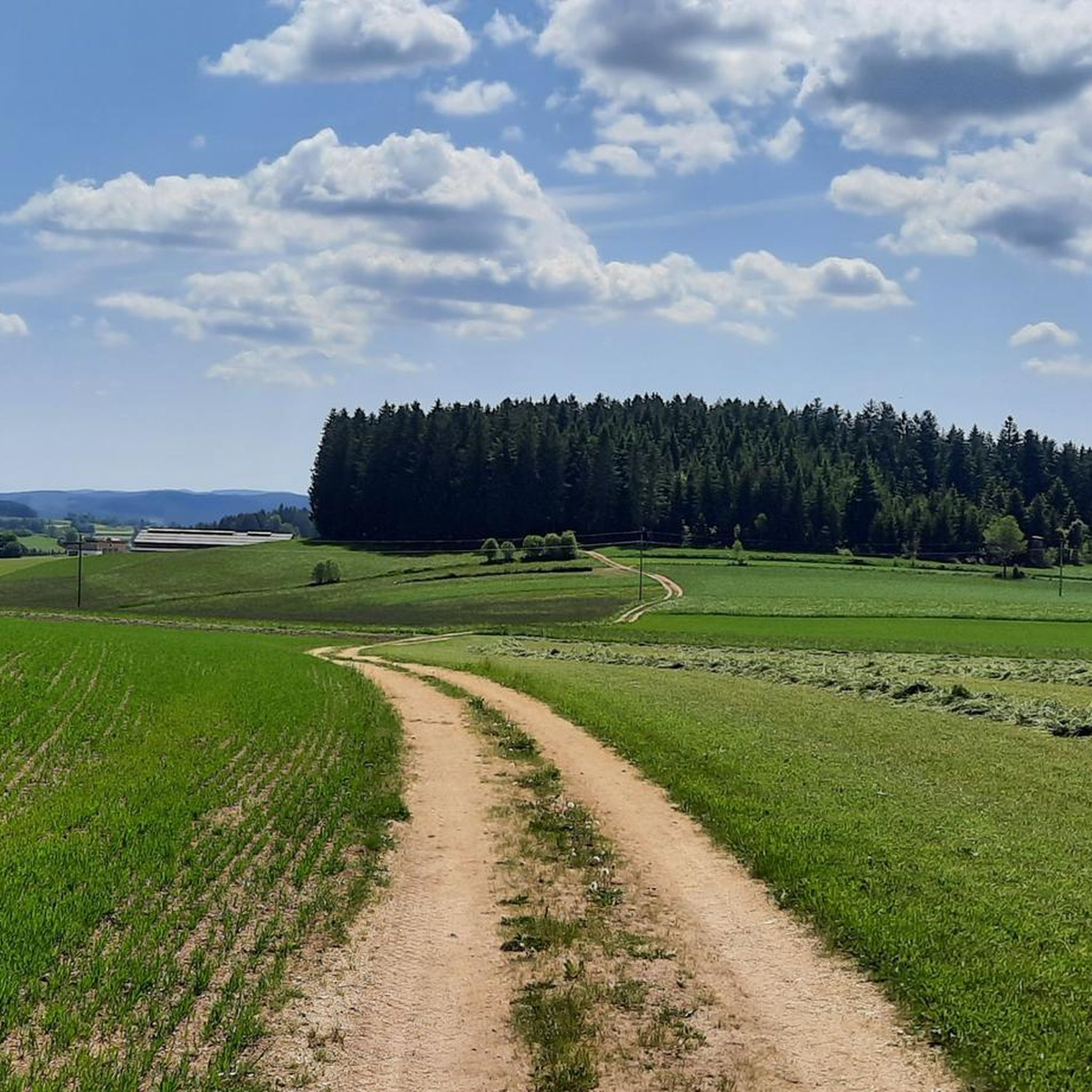
Hiking around Unterweißenbach, located in Oberösterreich, offers a diverse landscape characterized by rolling hills, forested paths, and elevated viewpoints. The region features a network of trails that ascend to summit crosses and connect historical chapels. Hikers can expect varied terrain with significant elevation changes, providing options from gentle ascents to more demanding climbs.
Best hiking trails around Unterweißenbach
- The most popular hiking route is Johannesweg Hut – Summit Cross at Königswiesen loop from Unterweißenbach, a 4.6 miles (7.4 km)…
Last updated: July 2, 2026
4.8
(16)
91
hikers
7.41km
02:05
150m
150m
Moderate hike. Good fitness required. Easily-accessible paths. Suitable for all skill levels.
4.9
(16)
121
hikers
Hard hike. Very good fitness required. Mostly accessible paths. Sure-footedness required.

Sign up for free
4.6
(16)
105
hikers
29.5km
08:45
880m
890m
Hard hike. Very good fitness required. Easily-accessible paths. Suitable for all skill levels.
5.0
(8)
56
hikers
Hard hike. Very good fitness required. Easily-accessible paths. Suitable for all skill levels.
4.0
(5)
35
hikers
12.3km
03:38
370m
370m
Moderate hike. Good fitness required. Easily-accessible paths. Suitable for all skill levels.
Get access to more routes and recommendations from other explorers.
Sign up for free
Already have an account?
Our route recommendations are based on thousands of hikes, rides, and runs completed by other people on komoot.
Start today with a free account
Your next adventure awaits.
Login or Signup
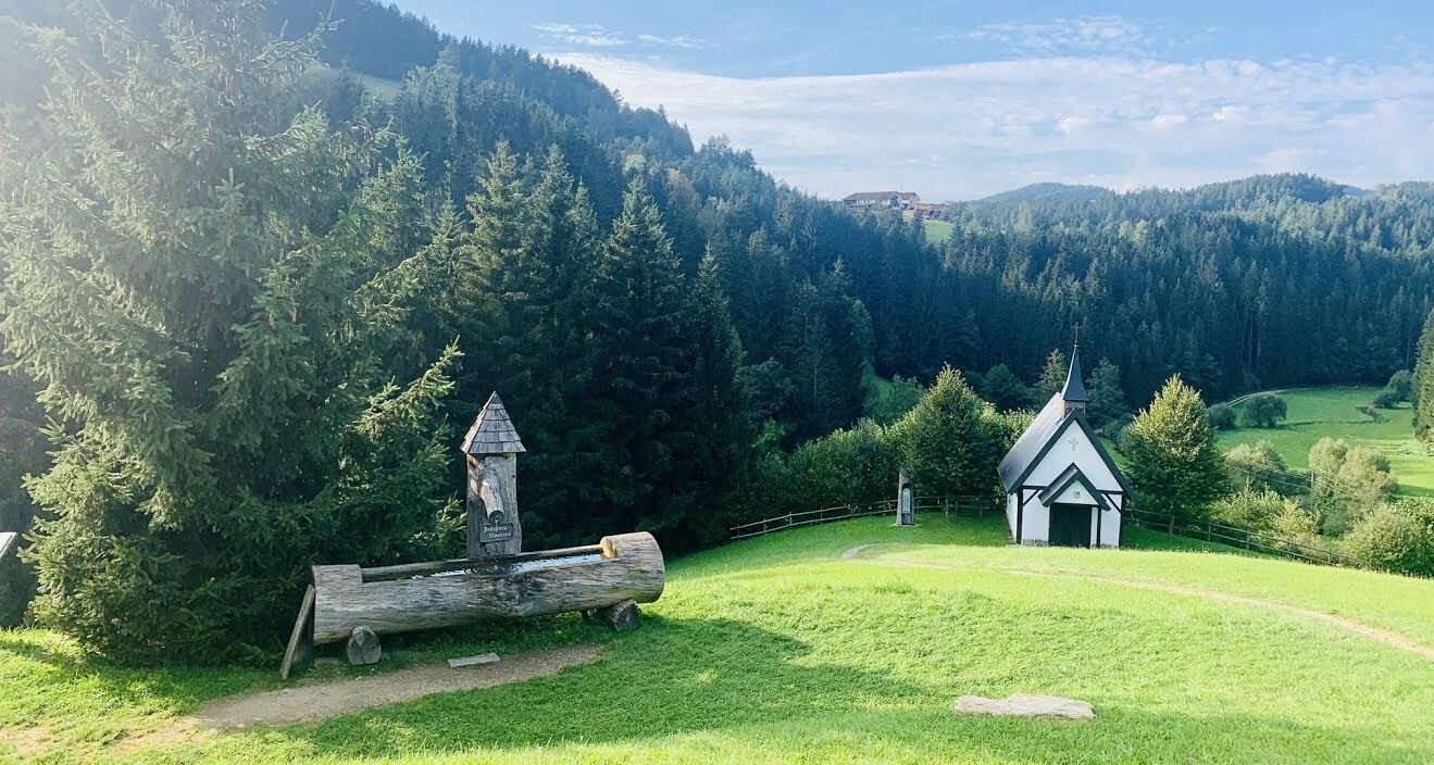
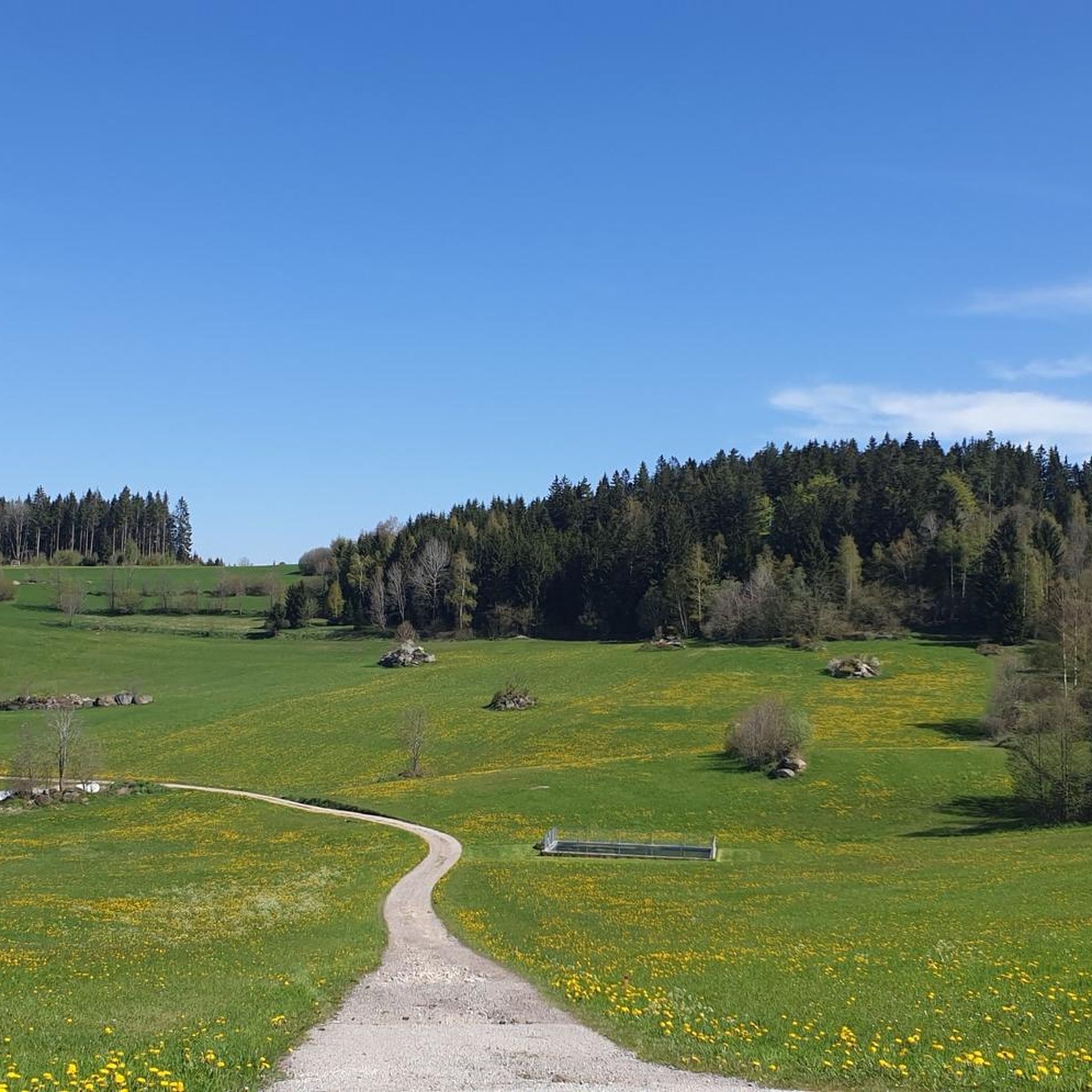
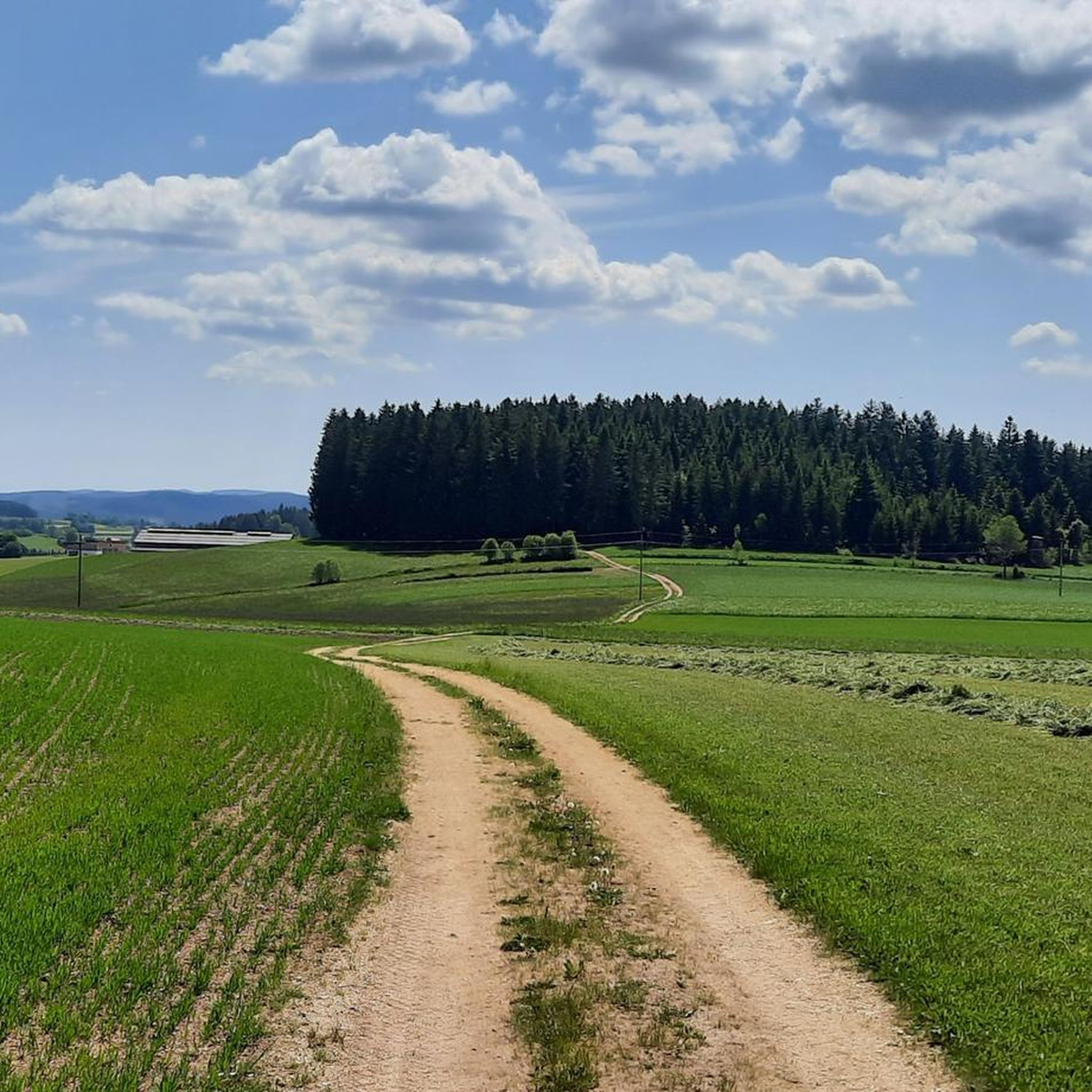
Other adventures around Unterweißenbach

Tips from the Community

You'll find a coffee machine, chilled drinks, and granola bars here. A very well-maintained rest stop awaits you.
0
0

The Kneipp bathing area is also located directly on the Urkraftweg (Urkraft Trail) and was completely renovated in 2024. The seating area has also been updated, and a lounger is located right next to it. The more recent photos confirm this.
1
0

It's worth going up here😉⚜️
1
1
This "Kneipp place" is located in a beautiful, idyllic valley. There was a lot of water here today due to the heavy rainfall last week. A place that invites you to rest and relax.😍🥾☀️ It is located along the Johannesweg ⚜️
1
0

Hostel for St. John's Way hikers and a cozy rest with drinks and toilet for day hikers
1
0

Very nice place to relax.
0
0
Frequently Asked Questions
How many hiking trails are available in Unterweißenbach?
Unterweißenbach offers a diverse network of over 60 hiking routes. These trails cater to various fitness levels, with options ranging from easy strolls to more challenging climbs, ensuring there's something for everyone.
Are there easy hiking trails suitable for beginners in Unterweißenbach?
Yes, Unterweißenbach has more than 20 easy hiking trails perfect for beginners or those looking for a relaxed walk. These routes typically feature gentle ascents and well-maintained paths, allowing you to enjoy the scenic landscape without significant effort.
Can I find family-friendly hiking routes in Unterweißenbach?
Many of the easy and moderate trails in Unterweißenbach are suitable for families. These routes often pass through forested areas and offer manageable distances, providing a pleasant outdoor experience for all ages. Look for trails with less elevation gain for younger children.
Are there circular hiking routes around Unterweißenbach?
Yes, the region features numerous circular hiking routes, allowing you to start and end your journey at the same point. An example is the Johannesweg Hut – Summit Cross at Königswiesen loop from Unterweißenbach, a moderate 4.6-mile (7.4 km) trail that offers scenic views.
What kind of terrain can I expect on hikes in Unterweißenbach?
Hiking around Unterweißenbach is characterized by rolling hills, dense forested paths, and elevated viewpoints. You can expect varied terrain with significant elevation changes, from gentle ascents to more demanding climbs, often leading to summit crosses and historical chapels.
Are there any viewpoints or scenic spots along the trails?
Absolutely. Many trails in Unterweißenbach lead to elevated viewpoints and summit crosses, offering panoramic views of the surrounding Oberösterreich landscape. The region's hilly nature ensures plenty of opportunities for scenic vistas.
What are some interesting historical or natural landmarks to see while hiking?
While hiking, you can explore several interesting landmarks. The trails often connect historical chapels and lead to summit crosses. You might also encounter fascinating structures like the Johannesweg Hut or the Prandegg Castle Ruins and Tavern, offering glimpses into the region's past and natural beauty.
Is Unterweißenbach a good place for dog-friendly hikes?
Yes, Unterweißenbach is generally very welcoming for hikers with dogs. The numerous forested paths and natural trails provide ample space for your canine companion to explore. Always remember to keep your dog on a leash where required and clean up after them.
What is the best time of year to go hiking in Unterweißenbach?
The best time for hiking in Unterweißenbach is typically from spring through autumn. During these seasons, the weather is generally mild, and the natural scenery is vibrant. Autumn, in particular, offers beautiful foliage, making it a popular time for scenic walks.
Are there options for longer, more challenging hikes?
For experienced hikers seeking a challenge, Unterweißenbach offers several difficult routes. An example is the Mountain Chapel “Kammerer Cross” – Mountain Way of the Cross Kaltenberg loop from Pferderast Dörflinger, a demanding 17.2-mile (27.8 km) path with significant elevation changes, connecting a mountain chapel with a way of the cross.
Are there any huts or places to stop for refreshments along the trails?
Yes, you can find huts and shelters along some of the hiking routes in Unterweißenbach, providing opportunities for rest and refreshments. The Johannesweg Hut and Stoaninger Alm are examples of places where you might find a stop.
What do other hikers say about the trails in Unterweißenbach?
The hiking trails in Unterweißenbach are highly rated by the komoot community, with an average score of 4.6 stars from over 400 reviews. Hikers often praise the diverse landscape, well-maintained paths, and the rewarding views from the summit crosses and elevated points.
Where can I park when hiking in Unterweißenbach?
Parking options are generally available near popular trailheads and in the village of Unterweißenbach. Specific parking information can often be found on individual route descriptions on komoot, or by checking local signage upon arrival.
Most popular routes around Unterweißenbach
Most popular attractions around Unterweißenbach

Get inspired with the komoot mobile app


Explore more
Browse the best Hikes in other regions.
