The best road cycling routes around Brugelette
4.3
(107)
5,205
riders
19
rides
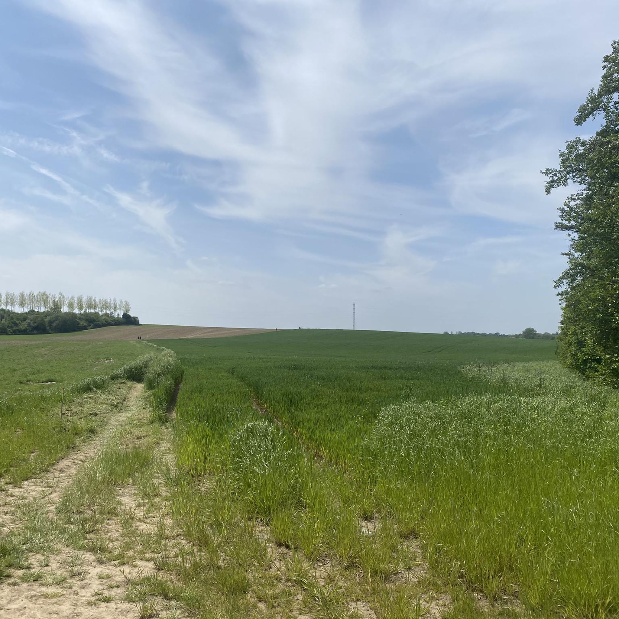
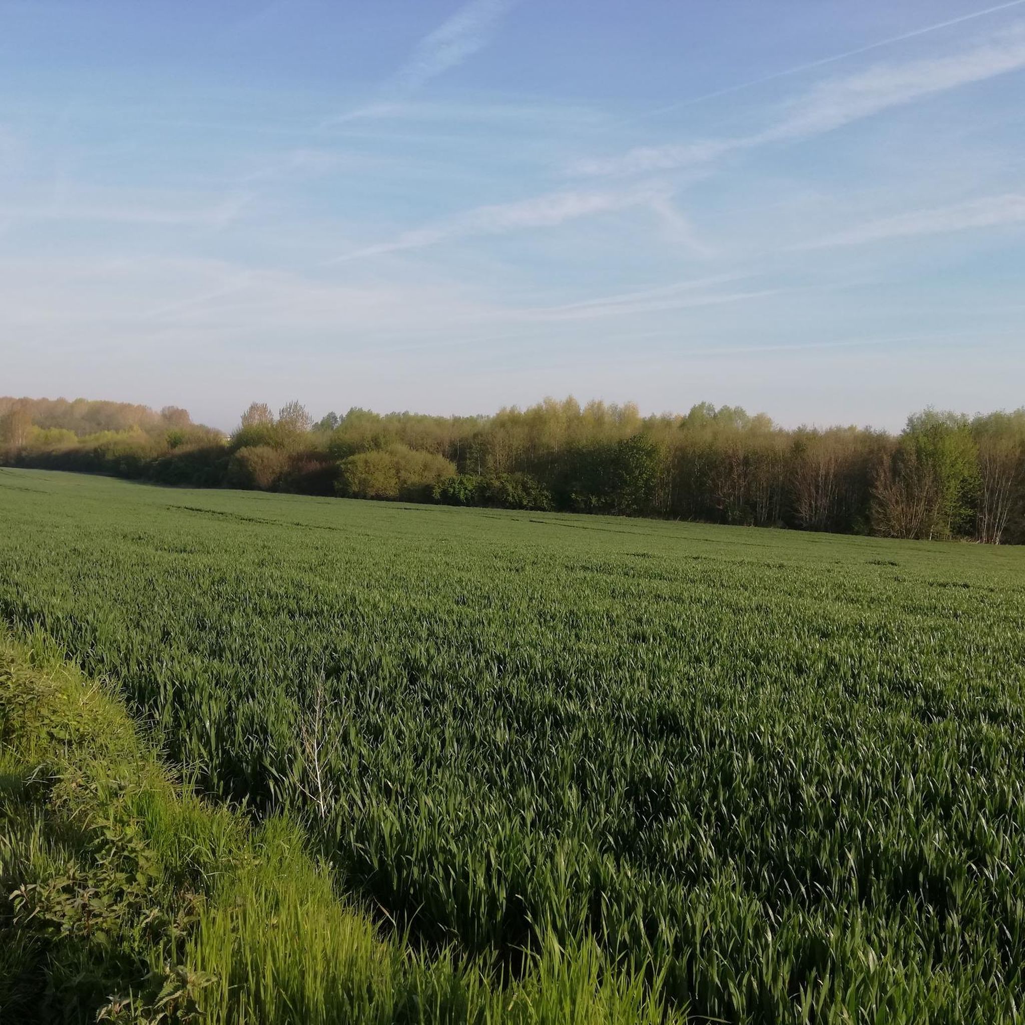
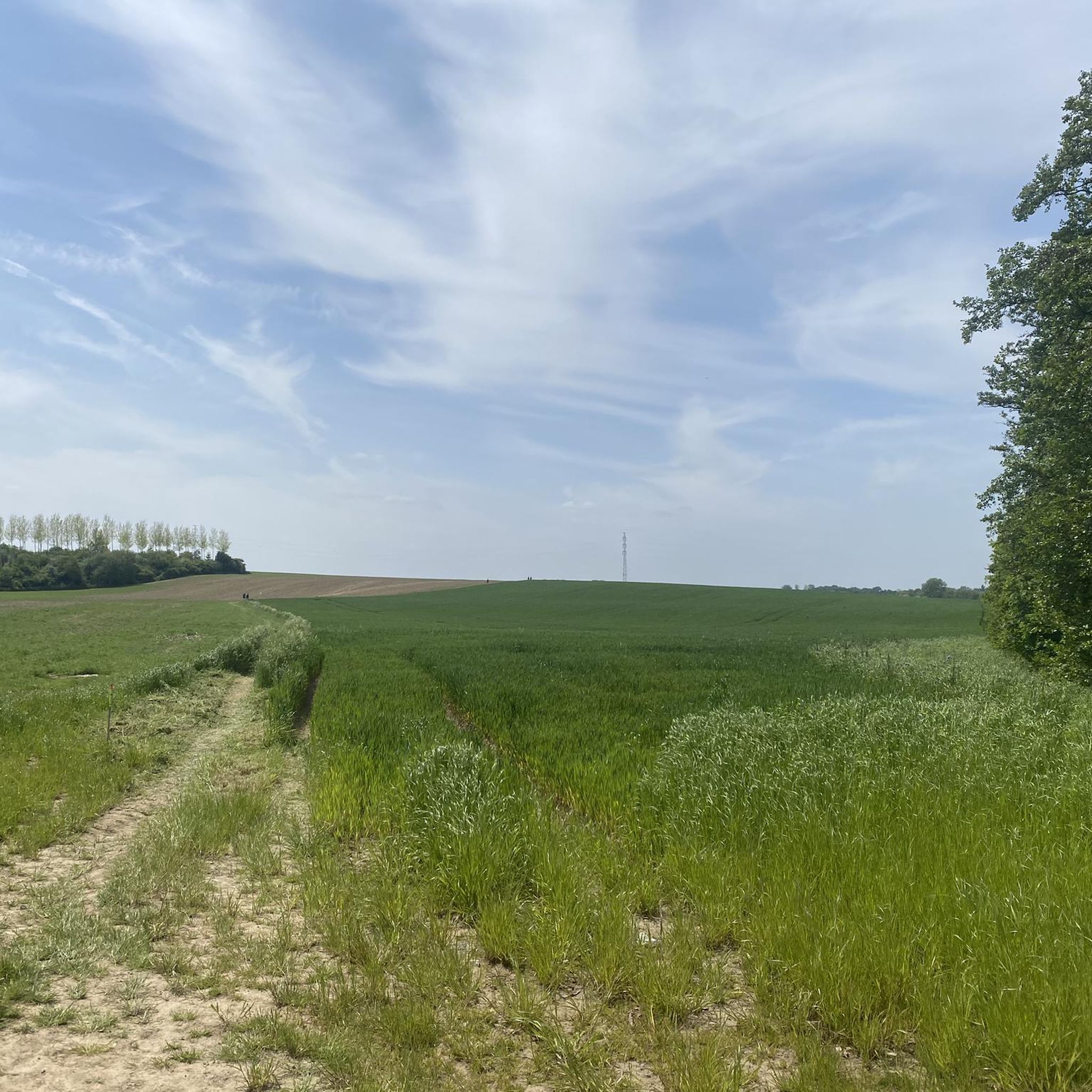
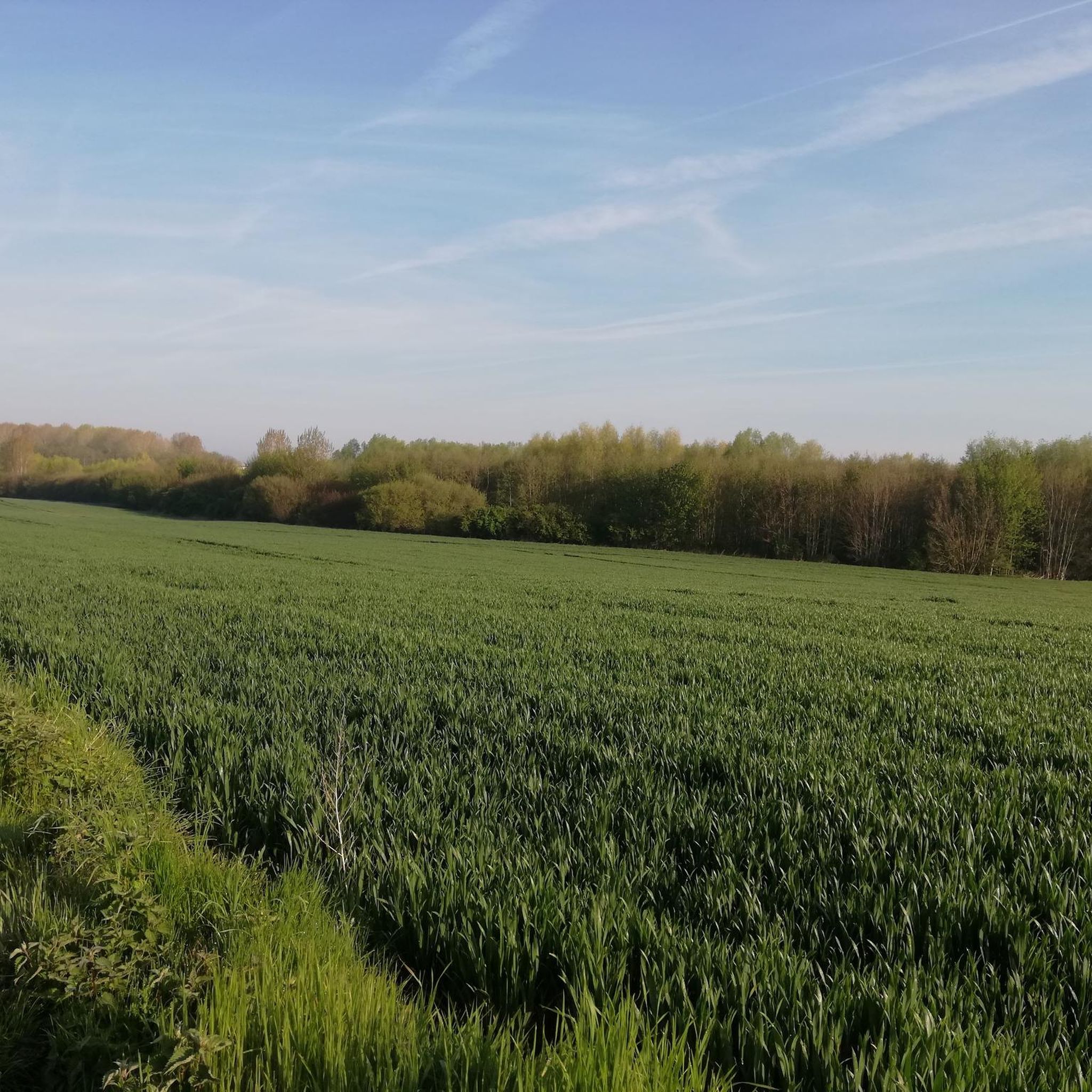
Road cycling routes around Brugelette traverse a diverse landscape of dense forests, rolling meadows, and tranquil agricultural settings within the Walloon countryside. The terrain is predominantly flat or gently sloping, with well-maintained surfaces suitable for various fitness levels. The region is integrated into the RAVeL network, utilizing former railway lines and towpaths for quiet, accessible cycling. Canals, such as the Blaton-Ath Canal, also offer serene routes with waterside scenery.
Best road cycling routes around Brugelette
- The most popular road cycling route is Roadbike loop from Mévergnies-Attre, an 11.2 miles (18.0 km) trail that takes 51 minutes to complete. This easy route features gentle elevation gains through the local countryside.
- Another top favourite among local road cyclists is Path Along the Dender – Attre Castle loop from Brugelette, an easy 27.0 miles (43.5 km) path. This route follows the Dender and passes by historical attractions like Attre Castle.
- Local road cyclists also love the Thoricourt Chapel – Scenic Forest Road loop from Cambron-Casteau, a 29.9 miles (48.1 km) trail leading through scenic forest roads, often completed in about 2 hours 9 minutes.
- Road cycling around Brugelette is defined by its Walloon countryside, RAVeL network paths, and tranquil canals. The network offers options for different ability levels, from easy rides to more challenging routes with moderate elevation changes.
- The routes in Brugelette are highly rated by the komoot community with an average score of 4.5 stars from over 100 reviews. More than 4000 road cyclists have used komoot to explore Brugelette's varied terrain.
Last updated: May 25, 2026
110
riders
115km
05:44
1,330m
1,330m
Hard road ride. Very good fitness required. Some segments of this route may be unpaved and difficult to ride.
4.5
(2)
132
riders
18.1km
00:52
90m
90m
Easy road ride. Great for any fitness level. Mostly well-paved surfaces and easy to ride.

Sign up for free
15
riders
48.1km
02:09
210m
210m
Moderate road ride. Good fitness required. Mostly well-paved surfaces and easy to ride.
8
riders
82.2km
03:33
410m
410m
Moderate road ride. Good fitness required. Some segments of this route may be unpaved and difficult to ride.
5
riders
53.7km
02:32
370m
370m
Moderate road ride. Good fitness required. Mostly well-paved surfaces and easy to ride.
Get access to more routes and recommendations from other explorers.
Sign up for free
Already have an account?
Our route recommendations are based on thousands of hikes, rides, and runs completed by other people on komoot.
Start today with a free account
Your next adventure awaits.
Login or Signup

Tips from the Community

A nice climb on good asphalt. The first 400m averages 6%. A steep section up to 11% for the next 400m, then a bit of pushing, averaging 4%. A nice challenge, and a beautiful view on the right.
0
0

It is a nice place with many terraces: ideal for a drink after the tour.
2
0

Nice climb in the forest of Hubertmont. Not too steep. Road surface is not great.
0
0
Fairly steep slope of more than 1000 meters and 80 meters of elevation gain.
0
0

Bourliquet near Frasnes-lez-Anvaing is a challenging climb for cyclists, situated in the beautiful hills of the Pays des Collines in Hainaut. This steep climb offers a tough test with varying gradients and is surrounded by open fields and wide views. Perfect for those who enjoy an intensive ride in a picturesque landscape typical of the Flemish Ardennes and Hainaut hills.
1
0

The Moulin de la Marquise is a wooden windmill dating from 1747. Initially built in Blicquy in 1614, it was transferred to Moulbaix and sold to the Marquis Gabriel François du Chasteler in 1748. Restored in 1942 by Jozef Dhaenens, it is still in operation, equipped with electric motors to operate in all weathers. The mill has been classified as a historic monument since 1944.
1
0

the view of the wheel is splendid from this side.
0
0

The oldest fountain in Beloeil dates from 1824. Neo-classical style. At the top of the pillar, a cartouche bears the following inscription: "Princeps Henricus Oriens Populo Elargitur Unsam XVIMA octobris". This means that the pump was opened to the public on the occasion of the birth of Prince Henri de Ligne on October 16, 1824.
1
0
Frequently Asked Questions
How many road cycling routes are available in Brugelette?
Brugelette offers a wide selection of road cycling routes, with over 18 routes documented on komoot. These routes cater to various preferences, including 5 easy, 11 moderate, and 2 difficult options.
What is the general terrain like for road cycling in Brugelette?
The terrain in Brugelette is predominantly flat or gently sloping, featuring well-maintained surfaces. You'll cycle through a diverse landscape of dense forests, rolling meadows, and tranquil agricultural settings, characteristic of the Walloon countryside.
Are there routes suitable for different fitness levels?
Yes, Brugelette offers routes for all fitness levels. You can find easy rides with minimal elevation gain, such as the Roadbike loop from Mévergnies-Attre (18.0 km, 89m elevation), as well as more challenging routes with moderate elevation changes, like the Rural Road Between Fields – Château de Beloeil loop from Mévergnies-Attre (82.1 km, 408m elevation).
What do other cyclists say about the routes in Brugelette?
The road cycling routes in Brugelette are highly rated by the komoot community, with an average score of 4.5 stars from over 100 reviews. Cyclists often praise the varied terrain, well-maintained paths, and the scenic beauty of the Walloon countryside.
Are there any historical landmarks or points of interest along the cycling routes?
Many routes incorporate historical attractions. For instance, the Path Along the Dender – Attre Castle loop from Brugelette passes by the impressive Attre Castle. Other notable castles in the vicinity include Château de Beloeil and Château of Thoricourt, which can be explored on various tours.
Can I cycle along canals or waterways in Brugelette?
Yes, the region features serene routes along canals and waterways. The Blaton-Ath Canal, for example, offers beautiful waterside scenery and is part of the RAVeL network, providing quiet and accessible cycling paths.
Are there routes that incorporate the RAVeL network?
Brugelette is well-integrated into the Wallonian RAVeL network, which utilizes former railway lines and old towpaths. These paths offer quiet, green, and accessible cycling experiences, such as the RAVeL route between Ath and Blaton along the canal.
What kind of natural features can I expect to see while cycling?
You'll encounter diverse natural features, including dense forests, rolling meadows, and tranquil agricultural landscapes. Highlights like the Silly Wood and the Porphyry Quarries of Lessines offer unique natural sights along the way.
Are there family-friendly road cycling routes in Brugelette?
Many of Brugelette's routes, particularly those on the RAVeL network and the easier loops with minimal elevation, are suitable for families. These paths often feature well-paved surfaces and less traffic, making them ideal for a relaxed family outing.
What are the parking options for cyclists in Brugelette?
Parking is generally available at various starting points for routes, including near popular attractions like Attre Castle and along the Blaton-Ath Canal. Many villages and towns in the region offer public parking facilities convenient for cyclists.
Is public transport accessible for cyclists in Brugelette?
Public transport options in the Brugelette area may allow for bicycle transport, though it's advisable to check specific train or bus operator policies regarding bikes before planning your journey. This can be a good way to access different starting points for your rides.
Are there circular road cycling routes available?
Yes, many of the road cycling routes around Brugelette are designed as circular loops, allowing you to start and end your ride at the same point. Examples include the Roadbike loop from Mévergnies-Attre and the Thoricourt Chapel – Scenic Forest Road loop from Cambron-Casteau.
What is the best time of year for road cycling in Brugelette?
The spring and summer months (April to September) generally offer the most pleasant conditions for road cycling in Brugelette, with milder temperatures and longer daylight hours. However, the well-maintained paths and varied landscapes can be enjoyed throughout much of the year.
Most popular routes around Brugelette
Most popular attractions around Brugelette

Get inspired with the komoot mobile app


Explore more
Browse the best Road cycling routes in other regions.
