The best walks and hikes around Unterstammheim
4.6
(4328)
19,473
hikers
826
hikes
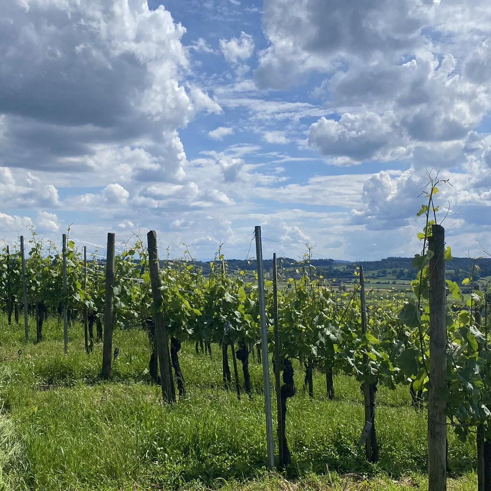
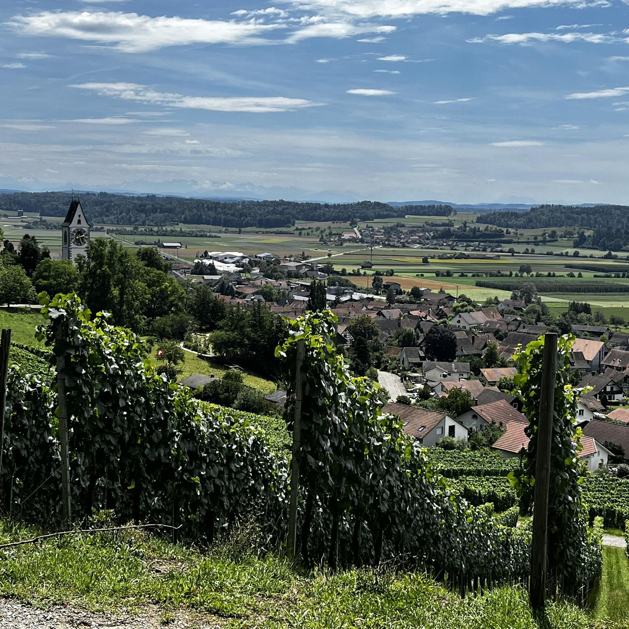
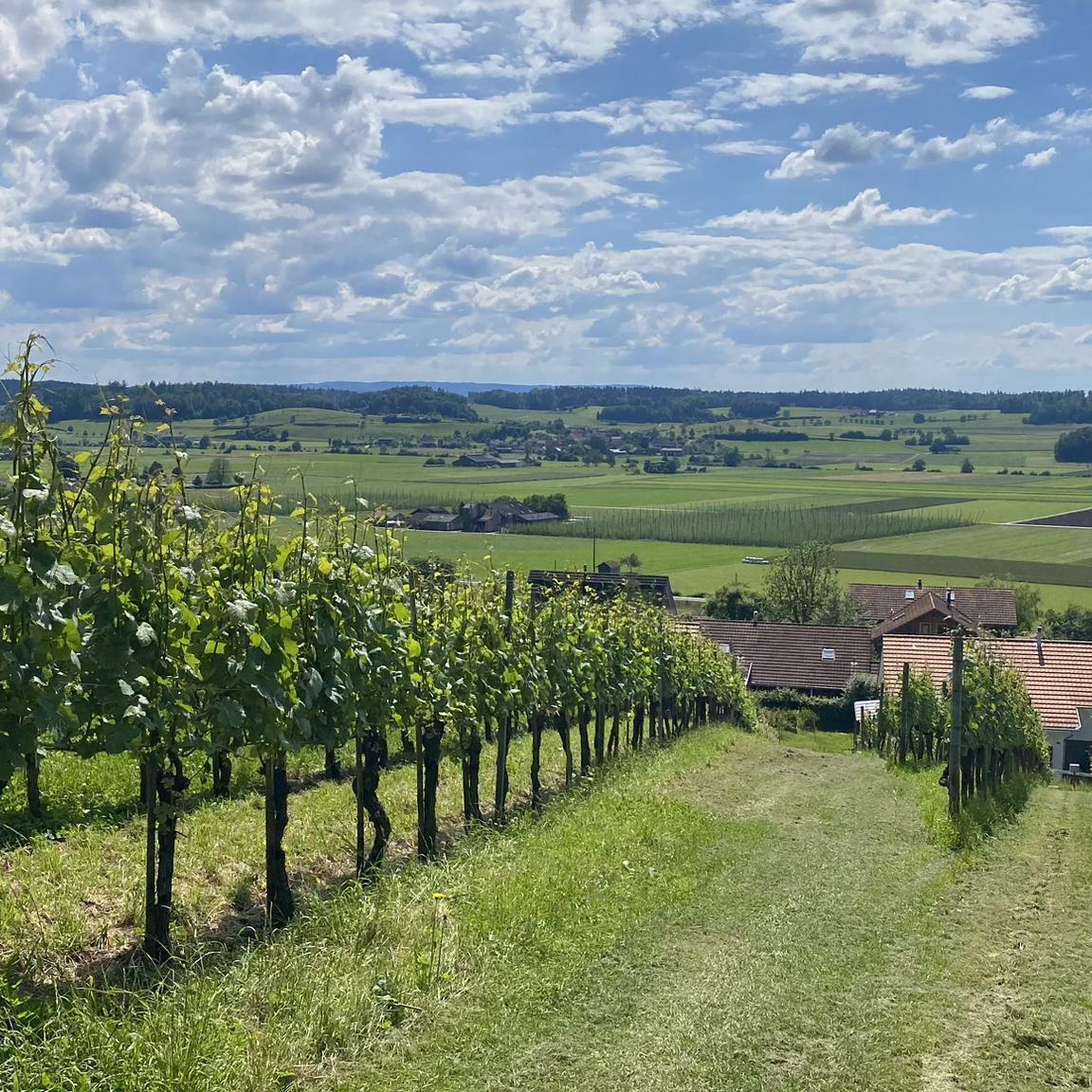
Hiking trails around Unterstammheim offer diverse terrain, characterized by gentle hills, agricultural landscapes, and proximity to water bodies like the Nussbaumersee and the Rhine River. The region features a mix of open fields, woodlands, and riverside paths, providing varied scenery for hikers. Unterstammheim hiking terrain includes modest elevation changes, making many routes accessible for different fitness levels.
Best hiking trails around Unterstammheim
- The most popular hiking route is Rhybadi Beach – Seal Tower, Diessenhofen loop from Rheinklingen, a 6.1…
Last updated: July 1, 2026
5.0
(1)
9
hikers
Moderate hike. Good fitness required. Easily-accessible paths. Suitable for all skill levels.
5.0
(2)
11
hikers
9.78km
02:36
100m
100m
Moderate hike. Good fitness required. Easily-accessible paths. Suitable for all skill levels.

Sign up for free
4.0
(1)
12
hikers
4.04km
01:13
140m
140m
Easy hike. Great for any fitness level. Easily-accessible paths. Suitable for all skill levels.
5.0
(3)
13
hikers
6.72km
01:58
180m
190m
Easy hike. Great for any fitness level. Easily-accessible paths. Suitable for all skill levels.
4.3
(3)
5
hikers
9.41km
02:42
220m
220m
Moderate hike. Good fitness required. Easily-accessible paths. Suitable for all skill levels.
Get access to more routes and recommendations from other explorers.
Sign up for free
Already have an account?
Our route recommendations are based on thousands of hikes, rides, and runs completed by other people on komoot.
Start today with a free account
Your next adventure awaits.
Login or Signup

Tips from the Community

If you have your swimsuit with you here, you're doing everything right.
0
0

Well-made footbridge! It allows you to walk right through the natural, swampy shoreline.
1
0

Simply gorgeous. 👍
0
0

This chapel, which dates back to the 11th/12th century, is the oldest in the valley. It is particularly notable for its 14th century fresco, in flamboyant Gothic style.
0
0

Various footbridges and a great nature reserve
1
0
Great observation tower on the edge of the rest area
2
0
Beautiful forest roads also for RR
2
0

perfect hiking area with great barbecue areas and bathing spots
3
1
Frequently Asked Questions
How many hiking trails are available around Unterstammheim?
There are over 800 hiking routes around Unterstammheim, offering a wide variety of options for different preferences and fitness levels. This includes more than 470 easy trails, 330 moderate routes, and a smaller selection of more challenging hikes.
What kind of terrain can I expect when hiking in Unterstammheim?
Hiking in Unterstammheim features diverse terrain, characterized by gentle hills, agricultural landscapes, and proximity to water bodies like the Nussbaumersee and the Rhine River. You'll find a mix of open fields, woodlands, and riverside paths, with modest elevation changes that make many routes accessible for various fitness levels.
What do other hikers say about the trails in Unterstammheim?
The hiking routes in Unterstammheim are highly rated by the komoot community, with an average score of 4.6 stars from over 4,100 reviews. Hikers often praise the varied scenery, including the tranquil lake-side boardwalks and picturesque riverine paths, as well as the well-maintained trails suitable for different abilities.
Are there easy hiking trails suitable for beginners or families in Unterstammheim?
Yes, Unterstammheim offers numerous easy hiking trails perfect for beginners or families. Over 470 routes are classified as easy, featuring gentle terrain and shorter distances. An example is the Hiking loop from Unterstammheim, which is 4.1 km long and takes about 1 hour 15 minutes to complete through local landscapes.
Are there more challenging hikes for experienced hikers in the area?
While the region is known for its gentle hills, there are a few more challenging options available for experienced hikers. The area features 25 routes classified as difficult, which may include steeper ascents or longer distances. These routes provide a good workout while still offering the scenic beauty of the Unterstammheim region.
Are there any circular hiking routes in Unterstammheim?
Many of the hiking routes in Unterstammheim are circular, allowing you to start and end at the same point. Popular examples include the Rhybadi Beach – Seal Tower, Diessenhofen loop from Rheinklingen, which follows the Rhine River, and the Boardwalk through the reed belt – Nussbaumersee loop from Oberstammheim.
Can I hike with my dog in Unterstammheim?
Generally, dogs are welcome on hiking trails in the Unterstammheim region. It's always advisable to keep your dog on a leash, especially in agricultural areas, near livestock, or in nature reserves like the Nussbaumersee reed belt, to protect wildlife and respect local farmers. Always carry water for your dog and clean up after them.
What natural features or landmarks can I see while hiking?
Hikers can enjoy a variety of natural features and landmarks. The Boardwalk through the reed belt – Nussbaumersee loop from Oberstammheim offers scenic views of the Nussbaumersee, including its unique boardwalk section. Along the Rhine River, you can explore routes like the Rhybadi Beach – Seal Tower, Diessenhofen loop from Rheinklingen, which provides riverine views.
Are there any castles or historical sites to explore near the hiking trails?
Yes, the region around Unterstammheim is rich in history and features several castles and historical sites. You can find highlights such as the Helfenberg Castle Ruins, Steinegg Castle, and Girsberg Castle. The Town Hall of Stein am Rhein is another notable historical point of interest nearby.
Are there hikes that offer scenic viewpoints in Unterstammheim?
Yes, several hikes in the vicinity of Unterstammheim offer rewarding scenic viewpoints. For instance, you can find the View of Stein am Rhein and Hohenklingen Castle, which provides expansive vistas. Another great spot is the Hochwacht Wildensbuch Observation Tower, offering panoramic views of the surrounding landscape.
What is the best time of year to go hiking in Unterstammheim?
The best time to hike in Unterstammheim is typically from spring through autumn (April to October). During these months, the weather is generally pleasant, and the landscapes are vibrant. Spring brings blooming flowers, summer offers warm days perfect for lake activities, and autumn showcases beautiful foliage. Winter hiking is possible, but some paths might be muddy or icy, and daylight hours are shorter.
Is public transport available to reach hiking trailheads in Unterstammheim?
Unterstammheim is accessible by public transport, primarily by bus services connecting to larger train stations in the region. Many trailheads are within walking distance of bus stops in Unterstammheim and neighboring villages like Oberstammheim. It's recommended to check local bus schedules for specific routes and connections to your desired starting points.
Most popular routes around Unterstammheim
Most popular attractions around Unterstammheim

Get inspired with the komoot mobile app


Explore more
Browse the best Hikes in other regions.
