The best road cycling routes around Unterschleißheim
4.6
(129)
1,880
riders
85
rides
Road cycling routes around Unterschleißheim offer an extensive network of paved paths, catering to various fitness levels. The region is characterized by flat to gently rolling terrain, with minimal elevation gain, making it suitable for road cyclists seeking smooth surfaces. Cyclists can explore diverse landscapes, including tranquil green spaces, historic canals, agricultural areas, and picturesque lakes.
Best road cycling routes around Unterschleißheim
- The most popular road cycling route is Wenger Weiher – Cycle path next to the B13 loop from…
Last updated: June 29, 2026
4.8
(12)
137
riders
48.4km
02:01
260m
260m
Moderate road ride. Good fitness required. Some segments of this route may be unpaved and difficult to ride.
4.7
(14)
143
riders
35.3km
01:22
70m
70m
Easy road ride. Great for any fitness level. Mostly well-paved surfaces and easy to ride.

Sign up for free
4.8
(9)
96
riders
63.4km
02:34
340m
340m
Moderate road ride. Good fitness required. Mostly well-paved surfaces and easy to ride.
4.9
(7)
85
riders
56.3km
02:17
250m
250m
Moderate road ride. Good fitness required. Mostly well-paved surfaces and easy to ride.
3.8
(6)
65
riders
29.7km
01:10
90m
90m
Easy road ride. Great for any fitness level. Mostly well-paved surfaces and easy to ride.
Get access to more routes and recommendations from other explorers.
Sign up for free
Already have an account?
Our route recommendations are based on thousands of hikes, rides, and runs completed by other people on komoot.
Start today with a free account
Your next adventure awaits.
Login or Signup
Tips from the Community

Away from the main road. Drive safely and enjoy the scenery 👍
2
0

A dreamlike setting!
2
0

Hardly any traffic and well-paved. Perfect for cycling.
1
0

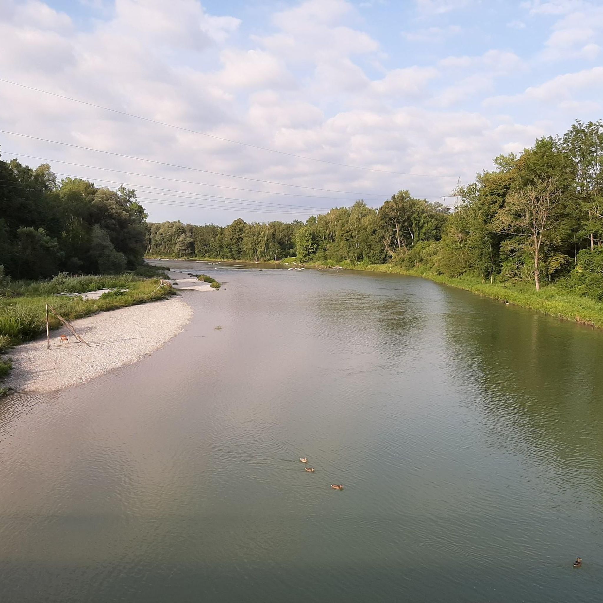
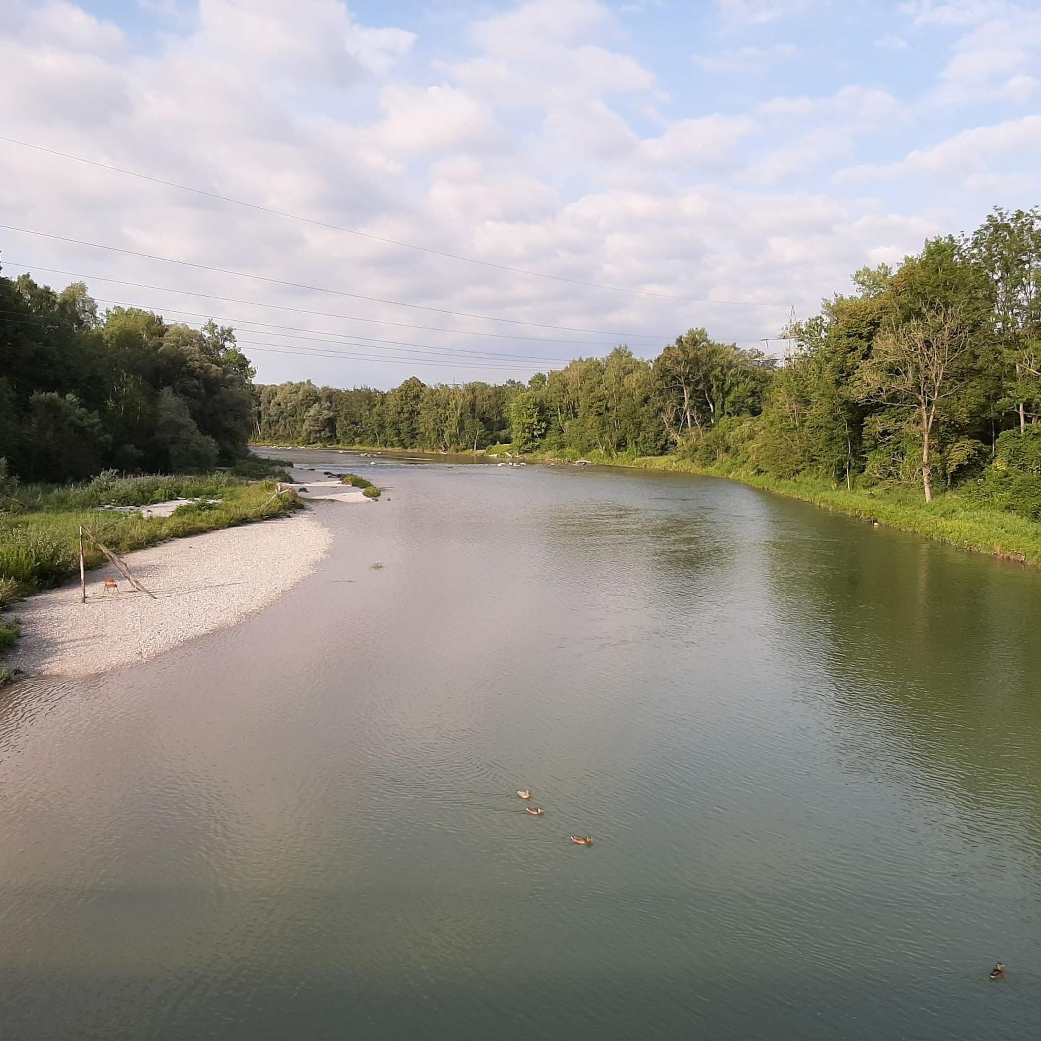
Wikipedia (Weng (Fahrenzhausen), 2025-07-29): https://de.m.wikipedia.org/wiki/Weng_(Fahrenzhausen) “… In 1909, a hydroelectric power plant was built on the Amper River. …”
3
0

beautiful route parallel to the main road
0
0

The road is not very busy, so many people cycle towards Ismaning Munich
0
0

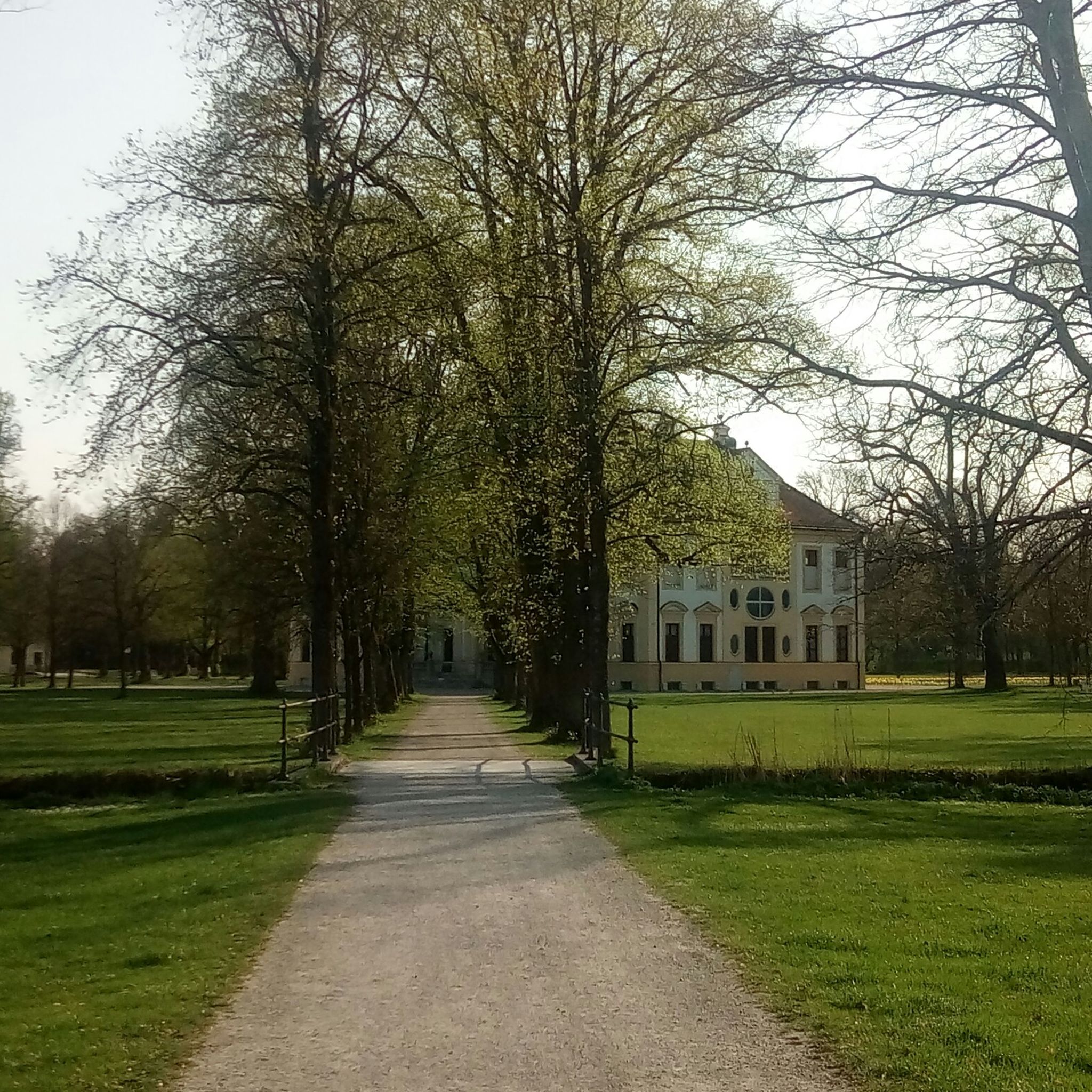
Beautiful avenue, the shade from the trees is particularly nice on hot days.
0
0
Frequently Asked Questions
What types of road cycling routes are available in Unterschleißheim?
Unterschleißheim offers a diverse network of road cycling routes, primarily featuring paved paths suitable for various fitness levels. You'll find everything from easy rides with minimal elevation gain to more challenging moderate options. The terrain is generally flat to gently rolling, passing through tranquil green spaces, along historic canals, and past picturesque lakes.
Are there easy road cycling routes suitable for beginners or families?
Yes, Unterschleißheim has numerous easy road cycling routes perfect for beginners or families. These routes typically feature smooth, paved surfaces and minimal elevation changes. An example is the Echinger Lake – Schlossgut Erching Avenue loop from Lohhof, an easy 21.8-mile (35.1 km) path offering scenic views around Echinger Lake.
What kind of scenery can I expect on road cycling routes around Unterschleißheim?
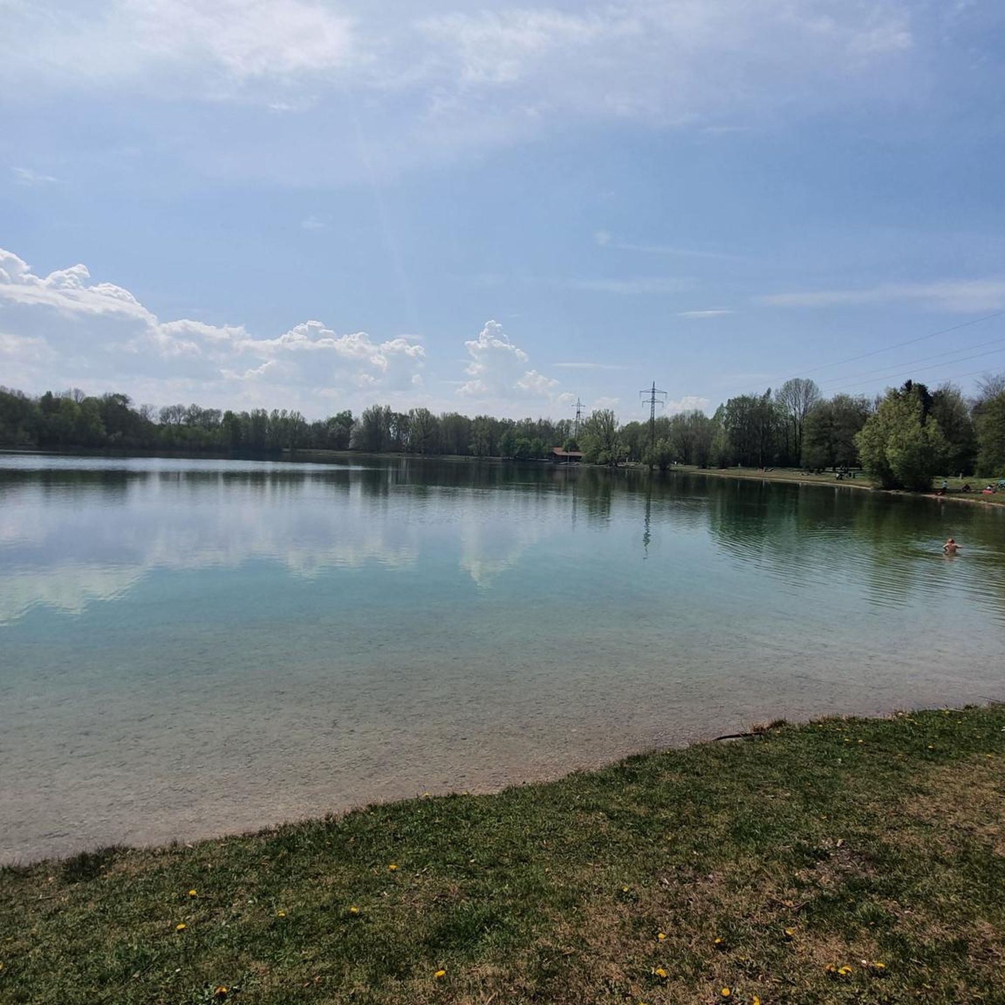
Road cycling routes in Unterschleißheim offer varied and scenic landscapes. You can expect to cycle through tranquil green spaces, alongside historic canals like the Schleißheim Canal, past agricultural areas, and around beautiful lakes such as Unterschleißheimer See and Echinger Lake. Many routes also provide views of historical sites like the Schleißheim Palace complex.
Are there any challenging road cycling routes for experienced riders?
While the region is known for its generally flat to gently rolling terrain, there are moderate routes that offer a more extended challenge. For instance, the Indersdorf Monastery – Short Forest Section loop from Lohhof is a moderate 39.1-mile (62.9 km) trail that leads through varied landscapes, including forest sections and open countryside, with a greater distance to cover.
What historical sites or natural attractions can I visit while cycling?
Many road cycling routes in Unterschleißheim integrate historical and natural attractions. You can cycle past the grand New Schleissheim Palace, explore the expansive Rolf-Zeitler-Park with its observation hill, or enjoy the recreational opportunities at Unterschleißheimer See. The historic Schleißheim Canal also provides a scenic backdrop for many rides.
Are the road cycling routes mostly circular?
Yes, many of the road cycling routes around Unterschleißheim are designed as loops, allowing you to start and end your tour in the same location. Examples include the Wenger Weiher – Cycle path next to the B13 loop from Unterschleißheim and the Amper River in Ampermoching loop from Unterschleißheim.
What is the typical length of road cycling routes in Unterschleißheim?
The road cycling routes in Unterschleißheim vary in length, catering to different preferences. You can find routes ranging from approximately 20 miles (32 km) for shorter, easier rides, up to around 40 miles (64 km) for more extensive tours. For example, the Avenue to Eching – Moosmühlen Fish Farm loop from Lohhof is a moderate 35-mile (56.3 km) route.
When is the best time of year for road cycling in Unterschleißheim?
The best time for road cycling in Unterschleißheim is generally from spring through autumn, when the weather is mild and the landscapes are vibrant. The paved paths are well-maintained, making for pleasant rides. While some may cycle in winter, conditions can be less ideal due to colder temperatures and potential for ice or snow.
Are there opportunities for breaks or refreshments along the routes?
Yes, many routes pass through or near areas with amenities. For instance, Unterschleißheimer See is a popular spot with a restaurant, ideal for a break. The town of Unterschleißheim itself and surrounding villages offer various cafes and eateries where you can stop for refreshments.
How accessible are the road cycling routes by public transport?
Unterschleißheim benefits from well-developed infrastructure, including public transport connections. Many routes are accessible from central points in Unterschleißheim or nearby Lohhof, which can be reached by local public transport, making it convenient to start your cycling tour without a car.
What do other road cyclists enjoy most about road cycling in Unterschleißheim?
The area is highly rated by the komoot community, with an average score of 4.6 stars from over 115 reviews. Reviewers often praise the extensive network of smooth, paved paths, the diverse and tranquil scenery, and the ability to combine athletic activity with visits to natural attractions and historical sites.
Most popular routes around Unterschleißheim
Most popular attractions around Unterschleißheim

Get inspired with the komoot mobile app


Explore more
Browse the best Road cycling routes in other regions.
