The best walks and hikes around Unterroth
4.6
(367)
2,100
hikers
18
hikes
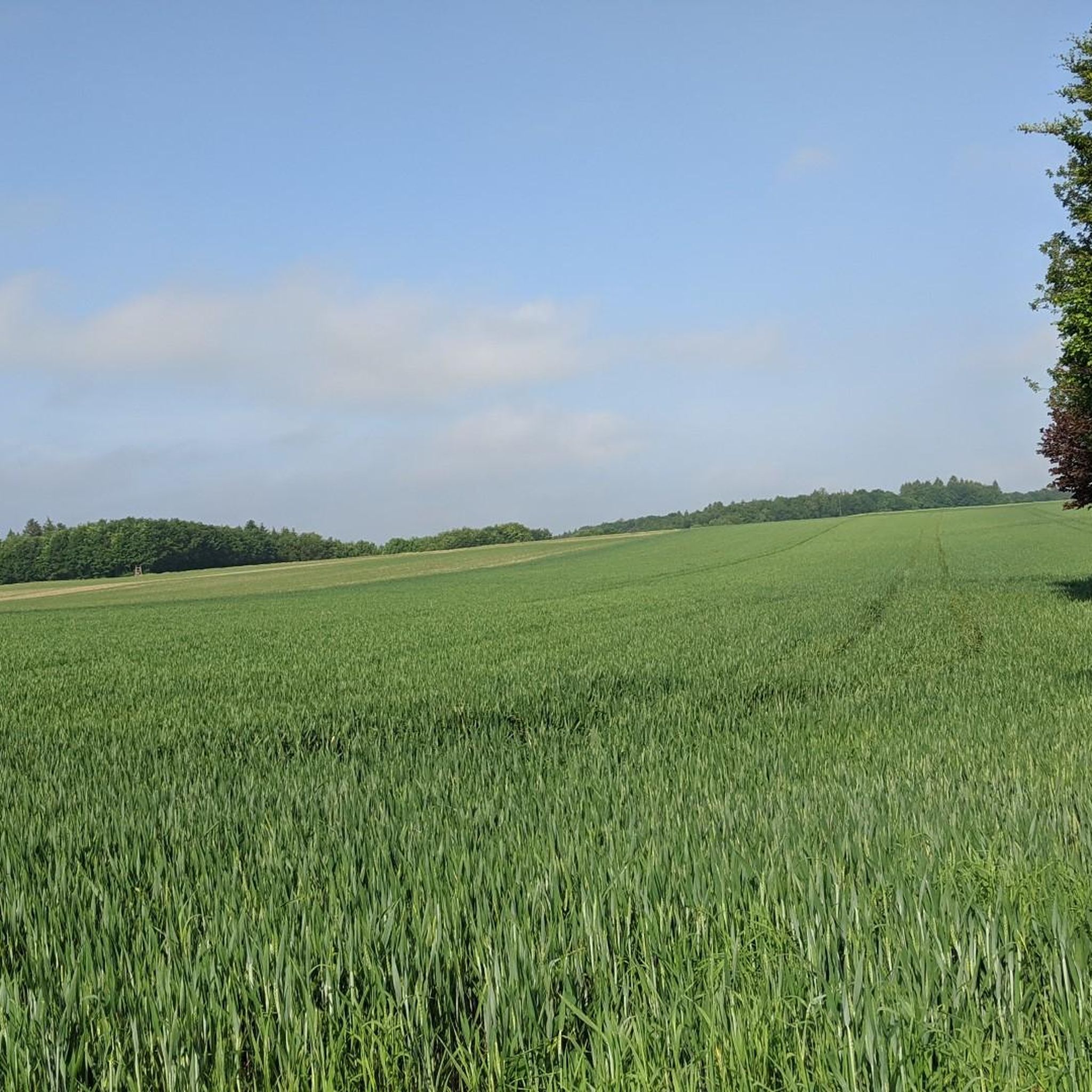
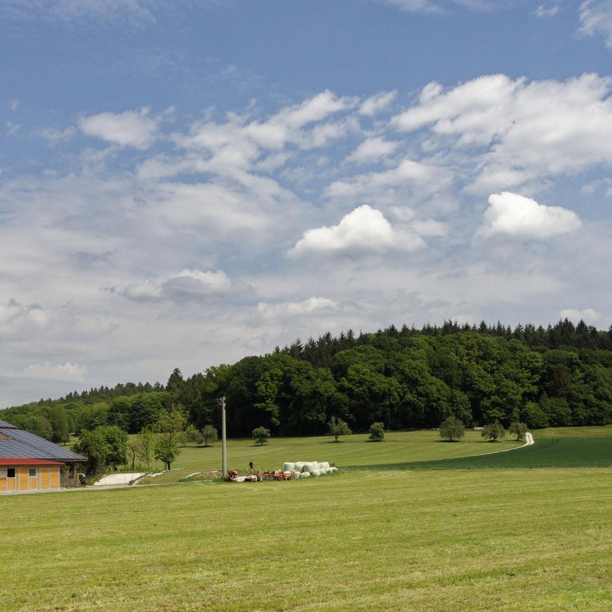
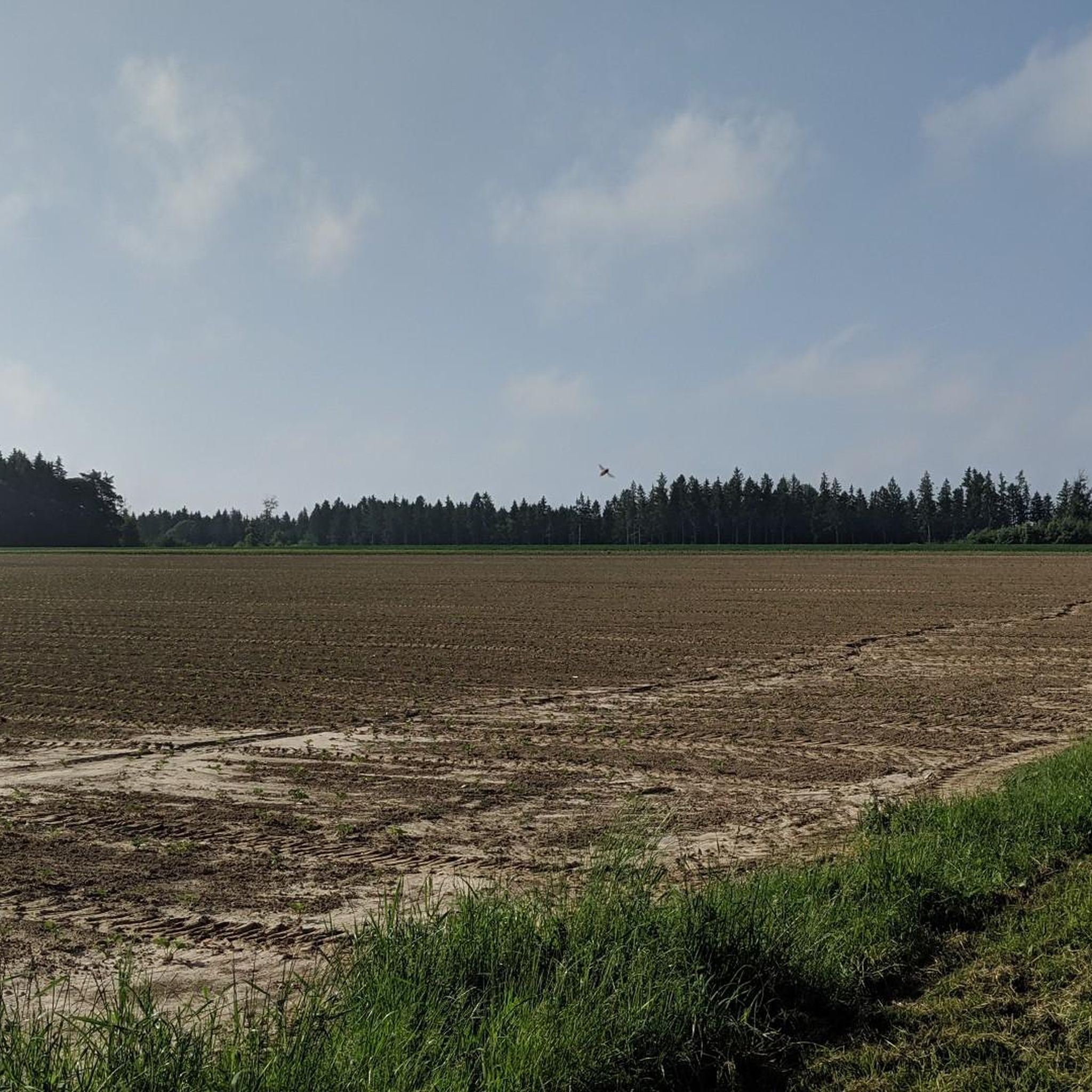
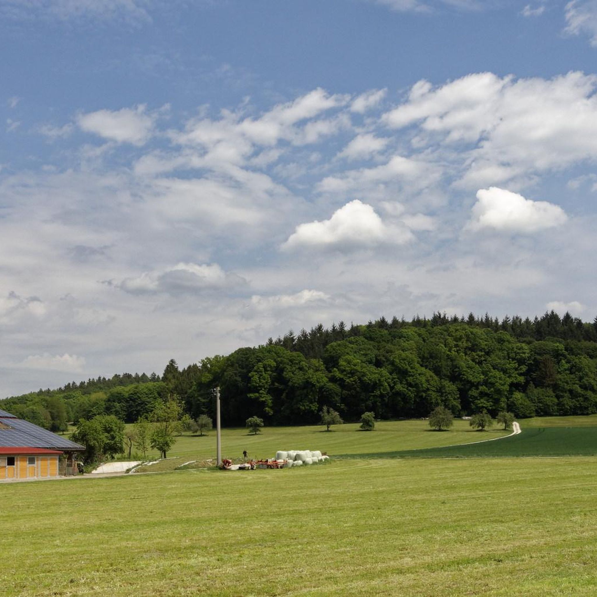
Hiking around Unterroth offers diverse natural features within the Augsburg-Westliche Wälder nature park. The region is characterized by expansive meadows, fertile fields, and dense forests, with gentle hills providing varied terrain. Several rivers, including the Günz, Biber, and Osterbach, wind through the area, creating scenic riverside paths. Lakes like Roggenburg Pond also contribute to the tranquil environment for outdoor exploration.
Best hiking trails around Unterroth
- The most popular hiking route is Pilgrimage Church Matzenhofen – View of the Günz River…
Last updated: June 24, 2026
4.8
(6)
26
hikers
Moderate hike. Good fitness required. Easily-accessible paths. Suitable for all skill levels.
5.0
(3)
13
hikers
Moderate hike. Good fitness required. Easily-accessible paths. Suitable for all skill levels.

Sign up for free
5.0
(3)
12
hikers
Easy hike. Great for any fitness level. Easily-accessible paths. Suitable for all skill levels.
16
hikers
Moderate hike. Good fitness required. Easily-accessible paths. Suitable for all skill levels.
3.0
(1)
6
hikers
4.80km
01:16
40m
40m
Easy hike. Great for any fitness level. Easily-accessible paths. Suitable for all skill levels.
Get access to more routes and recommendations from other explorers.
Sign up for free
Already have an account?
Our route recommendations are based on thousands of hikes, rides, and runs completed by other people on komoot.
Start today with a free account
Your next adventure awaits.
Login or Signup
Tips from the Community

very good chicks are available here
0
0

Good and cheap stop. Cozy in the beer garden and just as cozy inside. Friendly and brisk service. www.wallfahrtsgaststaette.de
1
0

Sow good and delicious food. Beautiful beer garden.
1
0

A small piece of jewelry in the woods, plus a small economy with good food. What more do you want for hiking
2
0
Frequently Asked Questions
What types of landscapes can I expect to see while hiking in Unterroth?
Unterroth is nestled on the edge of the Augsburg-Westliche Wälder nature park, offering a diverse landscape. You'll encounter expansive meadows, fertile fields, and dense forests, characterized by gentle hills. Several small rivers like the Günz, Biber, and Osterbach wind through the area, providing scenic riverside paths, and lakes such as Roggenburg Pond add to the tranquil environment.
Are there many hiking trails available in Unterroth?
Yes, Unterroth offers a good selection of hiking opportunities. There are around 15 hiking routes available, ranging from easy strolls to more moderate trails, ensuring options for various fitness levels.
What is the general difficulty level of hikes in Unterroth?
The majority of hikes in Unterroth are considered easy, with 11 out of 15 routes falling into this category. There are also 4 moderate trails for those seeking a bit more challenge, but no difficult routes are listed, making the area accessible for most hikers.
Are there any circular hiking routes in Unterroth?
Yes, many of the trails in Unterroth are designed as circular routes, allowing you to start and end at the same point. An example is the easy Hiking loop from Unterroth, which covers about 5 kilometers.
What are some notable natural features or attractions to look out for on the trails?
Beyond the general scenic beauty of forests and rivers, you can explore specific natural highlights. Consider visiting the Nordholz Mill Pond or the Weiherhalde Pond with Fountain. The Confluence of the Illerkanal and Iller is another interesting natural point, and the Landgraben Nature Reserve offers a chance to experience protected natural environments.
Are there any cultural or historical points of interest along the hiking routes?
Yes, the region offers cultural and historical sights. The Pilgrimage Church Matzenhofen is a popular destination for hikers and cyclists, and its surrounding loops, like the Pilgrimage Church Matzenhofen loop from Buch (VGem), provide opportunities to visit. You might also encounter the 18th-century St. Leonhard Church, picturesque half-timbered houses, and traditional beer gardens in the area.
What do other hikers say about the trails in Unterroth?
The hiking trails in Unterroth are highly regarded by the komoot community, holding an average rating of 4.6 out of 5 stars from over 350 reviews. Hikers often praise the tranquil environment, varied terrain, and well-maintained paths along rivers and through forests.
Are there any longer, more challenging routes for experienced hikers?
While there are no 'difficult' routes, more experienced hikers can enjoy longer, moderate trails. The Pilgrimage Church Matzenhofen – Pfarrhof Rennertshofen loop from Buch (VGem) is a moderate route spanning about 15.6 kilometers, typically taking over 4 hours to complete, and leads through varied terrain.
Can I find trails that offer views of the Günz River?
Absolutely. The Günz River is a prominent feature in the region, and several routes offer scenic views along its banks. A popular choice is the moderate Pilgrimage Church Matzenhofen – View of the Günz River loop from Buch (VGem), which provides excellent vistas of the river.
Are there any trails suitable for a shorter, easy walk?
Yes, if you're looking for a shorter, easy walk, the Pilgrimage Church Matzenhofen – Raspberry Bushes loop from Buch (VGem) is an excellent option. This easy 6.4-kilometer path features gentle gradients through rural landscapes and is perfect for a relaxed outing.
What kind of terrain can I expect on the trails around Unterroth?
The terrain in Unterroth is quite varied, offering a mix of experiences. You'll hike through expansive meadows, fertile fields, and dense forests. The region is characterized by gentle hills, and many paths follow the course of rivers like the Günz, Biber, and Osterbach, providing pleasant riverside walks.
Are there any specific trails that go through extensive forest areas?
Yes, the Oberrother Wald Runde, mentioned in regional research, is a notable route that takes visitors through an extensive forest area between Unterroth, Oberroth, and Kettershausen, including a section descending into the Günztal. While not explicitly listed in the komoot routes provided, the general area is rich in forest paths.
Most popular routes around Unterroth
Most popular attractions around Unterroth

Get inspired with the komoot mobile app


Explore more
Browse the best Hikes in other regions.
