The best cycling routes around Unterreichenbach
4.5
(4930)
26,011
riders
23
rides
Touring cycling around Unterreichenbach features routes through the northern Black Forest region, characterized by river valleys, dense woodlands, and rolling hills. The landscape includes the Nagold and Enz rivers, offering varied terrain for cyclists. This area provides a mix of paved paths and quieter country roads, suitable for different cycling preferences.
Best touring cycling routes around Unterreichenbach
- The most popular touring cycling route is Eulenbächle Bridge – Nagold River Cycle Path loop from Schömberg, a 14.6 miles (23.4 km)…
Last updated: May 24, 2026
4.7
(227)
1,181
riders
Moderate bike ride. Good fitness required. Mostly paved surfaces. Suitable for all skill levels.
4.9
(11)
117
riders
Easy bike ride. Great for any fitness level. Mostly paved surfaces. Suitable for all skill levels.

Sign up for free
4.7
(39)
116
riders
Hard bike ride. Very good fitness required. Mostly paved surfaces. Suitable for all skill levels.
5.0
(2)
76
riders
93.5km
07:07
2,060m
2,060m
Hard bike ride. Very good fitness required. Mostly paved surfaces. Suitable for all skill levels.
5.0
(11)
45
riders
73.6km
06:09
1,380m
1,380m
Hard bike ride. Very good fitness required. Mostly paved surfaces. Suitable for all skill levels.
Get access to more routes and recommendations from other explorers.
Sign up for free
Already have an account?
Our route recommendations are based on thousands of hikes, rides, and runs completed by other people on komoot.
Start today with a free account
Your next adventure awaits.
Login or Signup
Popular around Unterreichenbach
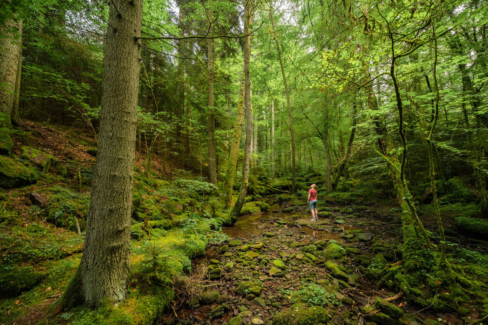
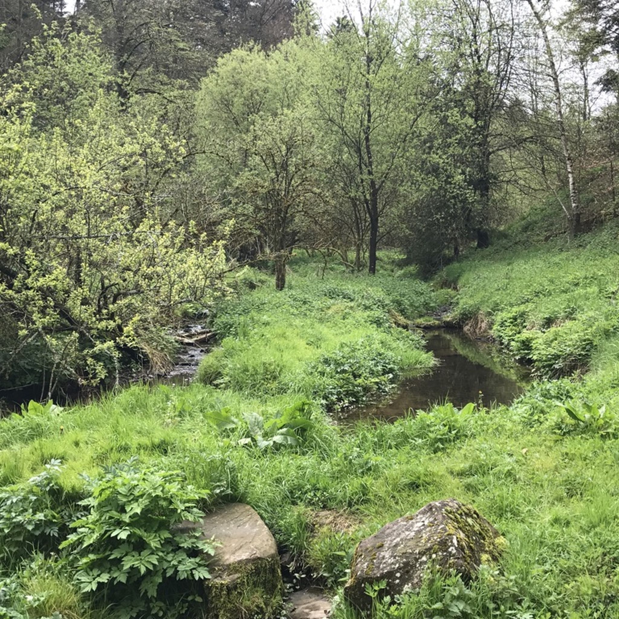
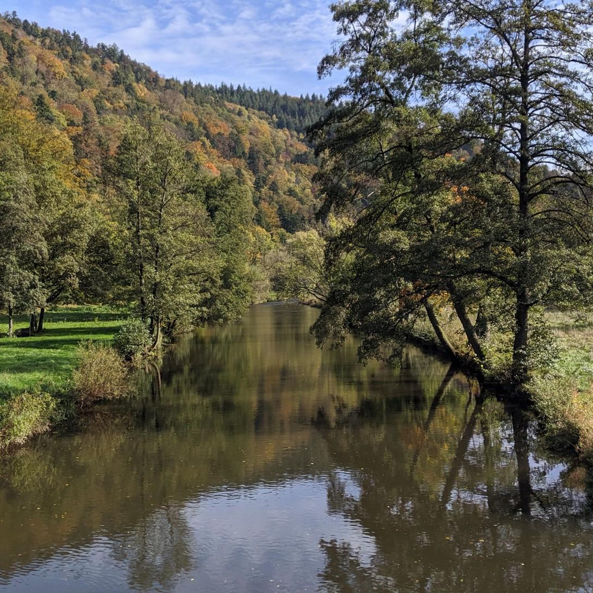

Other adventures around Unterreichenbach

Tips from the Community


The four of us had an absolutely fantastic meal there. Both the fish and meat dishes were cooked to perfection. The starters and desserts were also very tasty. All Demeter-certified. It's not exactly cheap, but it was incredibly good.
9
0

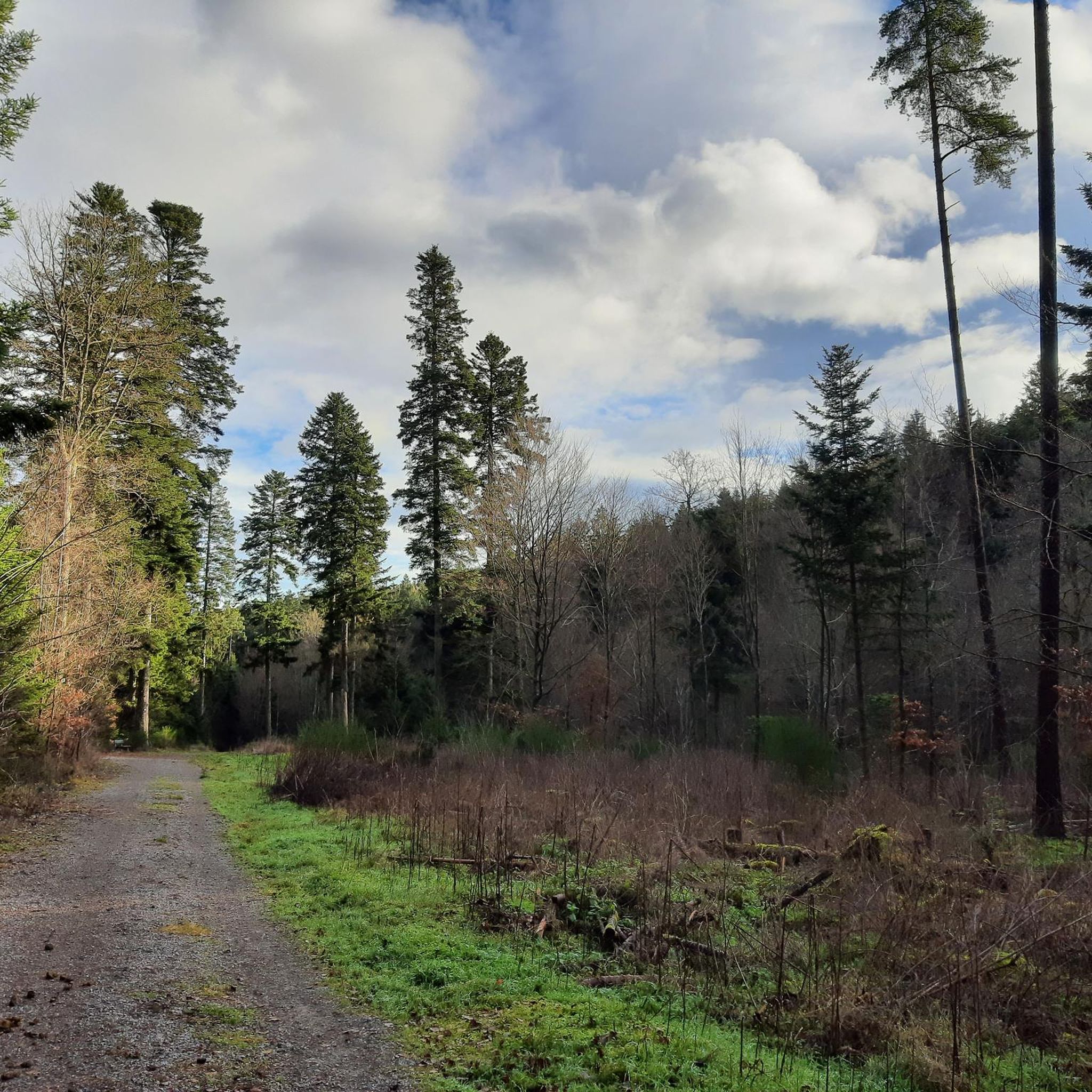
Cycle path along the Enz
0
1

If there isn't much loose here, you can really let it rip
0
1
“The” cycle path between Unterreichenbach and Dillweisenstein.
0
1
A beautiful section with numerous sculptures along the way, it's well-visited by hikers and cyclists. Mutual consideration is encouraged here.
1
0
Covered wooden bridge over the Nagold with two bulges in the middle of the bridge.
12
0

Loffenau and the view of the region 👍🏼👍🏼🌞
0
0
Frequently Asked Questions
How many touring cycling routes are available around Unterreichenbach?
There are over 600 touring cycling routes in the Unterreichenbach area, offering a wide range of options for different skill levels and preferences. This includes approximately 150 easy routes, 260 moderate routes, and over 200 difficult routes.
Are there any easy touring cycling routes suitable for beginners or families?
Yes, Unterreichenbach offers around 150 easy touring cycling routes. These often follow river valleys like the Nagold and Enz, providing flatter terrain. While specific family-friendly routes are not highlighted in the data, easy routes are generally suitable for families. Look for routes with minimal elevation gain.
What are some longer touring cycling routes for experienced cyclists?
For experienced cyclists seeking a challenge, there are over 200 difficult routes. An example is the Bad Wildbad – The Enz River in Bad Wildbad loop from Unterreichenbach, which covers approximately 73.7 km and features significant elevation changes. Another challenging option is the Eyachtal Cycle Path – Historic Center of Loffenau loop from Unterreichenbach, a 93.5 km trail through the Eyachtal valley and historic centers.
Are there circular touring cycling routes in the Unterreichenbach region?
Many touring cycling routes around Unterreichenbach are designed as loops, allowing you to start and end at the same point. For instance, the Eulenbächle Bridge – Nagold River Cycle Path loop from Schömberg is a moderate 23.4 km circular route along the Nagold River. Another option is the Höfen an der Enz Bridge – Calmbach — Village and Waterways loop from Schömberg, a 20.2 km moderate loop.
What kind of natural attractions can I see along the touring cycling routes?
The region is rich in natural beauty. Along your rides, you might encounter the scenic Monbachtal Gorge, the tranquil Monbachtal Waterfall, or the picturesque Würm Valley. The routes often follow the Nagold and Enz rivers, providing beautiful waterside views.
Are there any historical landmarks or castles to explore near the cycling paths?
Yes, the area around Unterreichenbach is dotted with historical sites. You can visit Liebenzell Castle, the ruins of Neuenbürg Castle, or Steinegg Castle. These historical points of interest offer a glimpse into the region's past and can be great stops during your cycling tour.
What is the best time of year for touring cycling in Unterreichenbach?
The spring, summer, and early autumn months generally offer the most pleasant conditions for touring cycling in Unterreichenbach. During these seasons, the weather is typically mild, and the natural landscape of the northern Black Forest, with its river valleys and woodlands, is at its most vibrant.
What do other touring cyclists enjoy most about cycling in Unterreichenbach?
The touring cycling routes in Unterreichenbach are highly rated by the komoot community, with an average score of 4.5 stars from over 5,300 reviews. Cyclists often praise the varied terrain, the scenic river valleys, and the well-maintained paths that wind through dense woodlands and charming villages.
Is there public transport access to the touring cycling routes in Unterreichenbach?
Unterreichenbach is generally well-connected by local public transport, including train and bus services, which can provide access to various starting points for cycling routes. It's advisable to check local transport schedules and bike carriage policies for specific routes and times.
Where can I find parking for touring cycling routes in Unterreichenbach?
Parking is typically available in and around the villages and towns that serve as starting points for many routes, such as Unterreichenbach itself, Schömberg, or Bad Wildbad. Look for designated parking areas near trailheads or town centers. Specific parking information for individual routes can often be found on komoot tour pages.
Are there any routes that offer panoramic views or observation towers?
Yes, some routes ascend to higher points offering expansive views. The Himmelsglück Observation Tower – Calmbach — Village and Waterways loop from Unterreichenbach is a challenging route that includes climbs to an observation tower, providing panoramic vistas of the surrounding Black Forest landscape.
Most popular routes around Unterreichenbach
Most popular attractions around Unterreichenbach

Get inspired with the komoot mobile app


Explore more
Browse the best Cycling routes in other regions.
