The best walks and hikes around Untermarchtal
4.6
(4307)
17,799
hikers
23
hikes
Hiking around Untermarchtal offers diverse landscapes within Germany's Alb-Donau district. The region is characterized by the picturesque Donautal (Danube Valley) with its river landscapes and elevated trails. Natural features like the Wolfstal provide varied terrain, including forests and geological formations. The Bussen, a prominent hill, offers panoramic views, contributing to the varied terrain elevation difficulty for hiking around Untermarchtal.
Best hiking trails around Untermarchtal
- The most popular hiking route is Obermarchtal Abbey – View of Obermarchtal Abbey loop from Untermarchtal, a 6.2 miles (10.0 km) trail that takes 2 hours 39 minutes to complete. This moderate route offers views of the historic Obermarchtal Abbey.
- Another top favourite among local hikers is Klostergasthof Adler – Donauwiesen Nature Reserve loop from Untermarchtal, a moderate 5.7 miles (9.2 km) path. This trail leads through the Donauwiesen Nature Reserve, featuring riverside paths and natural scenery.
- Local hikers also love the Warm Springs at Algershofen – Frauenberg Church loop from Untermarchtal, a 4.6 miles (7.5 km) trail leading through varied terrain, often completed in about 1 hour 58 minutes.
- Hiking around Untermarchtal is defined by river valleys, forests, and prominent hills like the Bussen. The network of trails offers options for different ability levels, from easy walks to moderate hikes.
- The routes in Untermarchtal are highly rated by the komoot community with an average score of 4.6 stars from over 1200 reviews. More than 5800 hikers have used komoot to explore Untermarchtal's varied terrain.
Last updated: May 11, 2026
4.5
(6)
34
hikers
Moderate hike. Good fitness required. Easily-accessible paths. Suitable for all skill levels.
3.4
(5)
25
hikers
10.1km
02:40
100m
100m
Moderate hike. Good fitness required. Easily-accessible paths. Suitable for all skill levels.

Sign up for free
4.6
(5)
18
hikers
Moderate hike. Good fitness required. Easily-accessible paths. Suitable for all skill levels.
4.5
(4)
15
hikers
Easy hike. Great for any fitness level. Easily-accessible paths. Suitable for all skill levels.
4.3
(4)
16
hikers
Moderate hike. Good fitness required. Easily-accessible paths. Suitable for all skill levels.
Get access to more routes and recommendations from other explorers.
Sign up for free
Already have an account?
Our route recommendations are based on thousands of hikes, rides, and runs completed by other people on komoot.
Start today with a free account
Your next adventure awaits.
Login or Signup
Tips from the Community

Very nice and large forest playground with barbecue facilities at the Sauberg. From here you have a very nice view.
0
0
Wonderful view of Ober- and Untermarchtal, Lauterach and Reichenstein. There is also a forest hut next to the hiking trail.
0
0

Catholic Parish of St. Dionysius Munderkingen-Rottenacker
1
0
Beautiful Frauenberg Church in the middle of the countryside
1
0
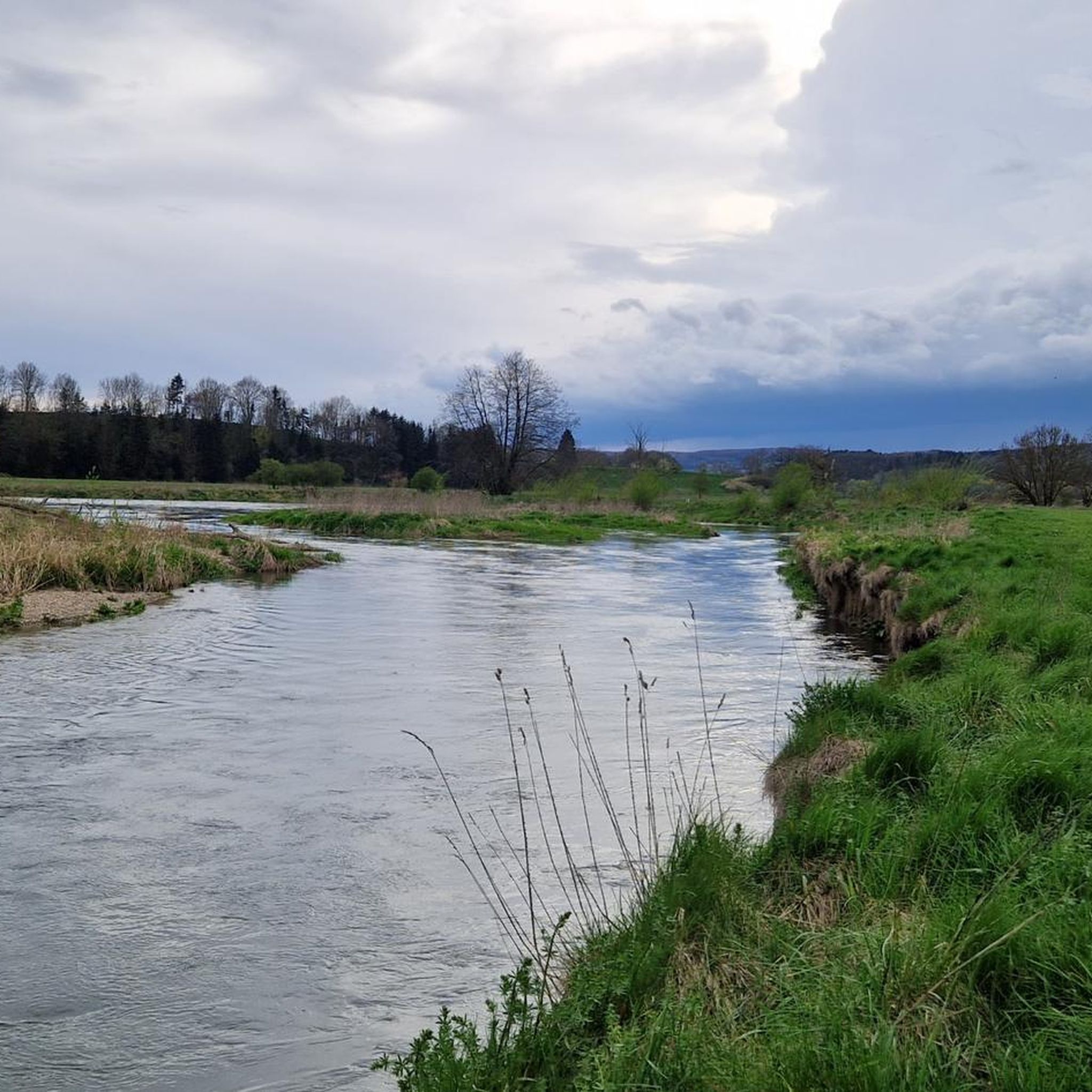
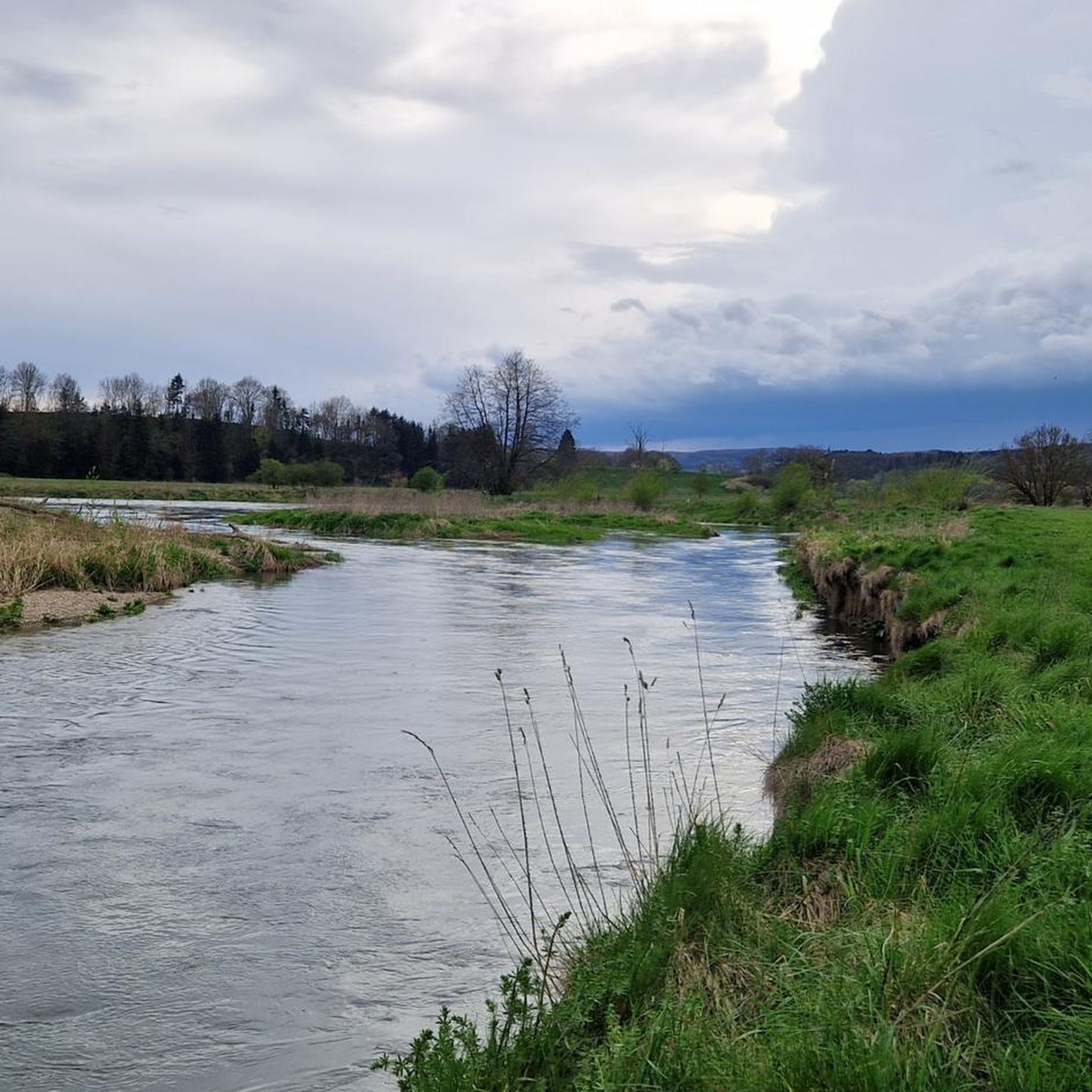
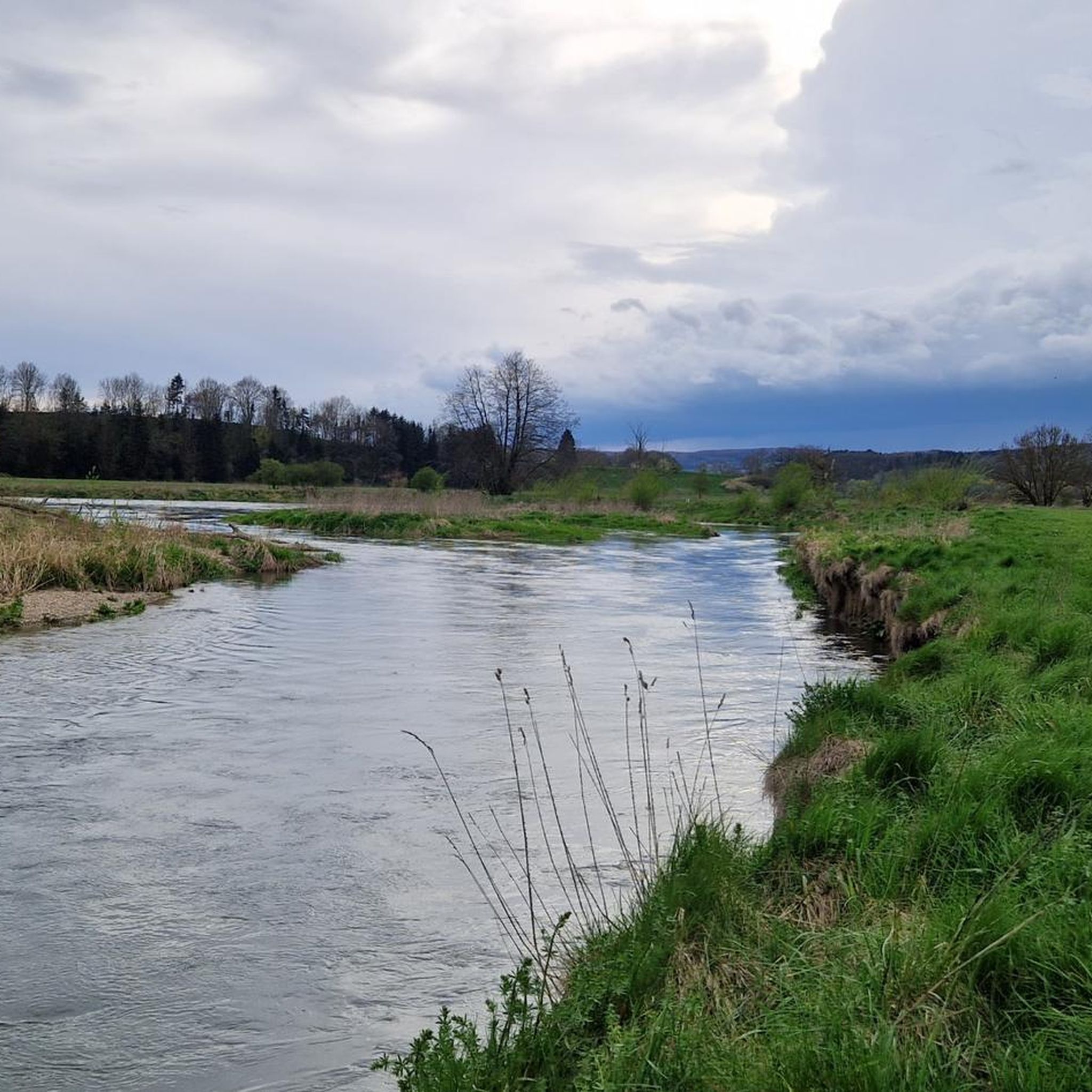
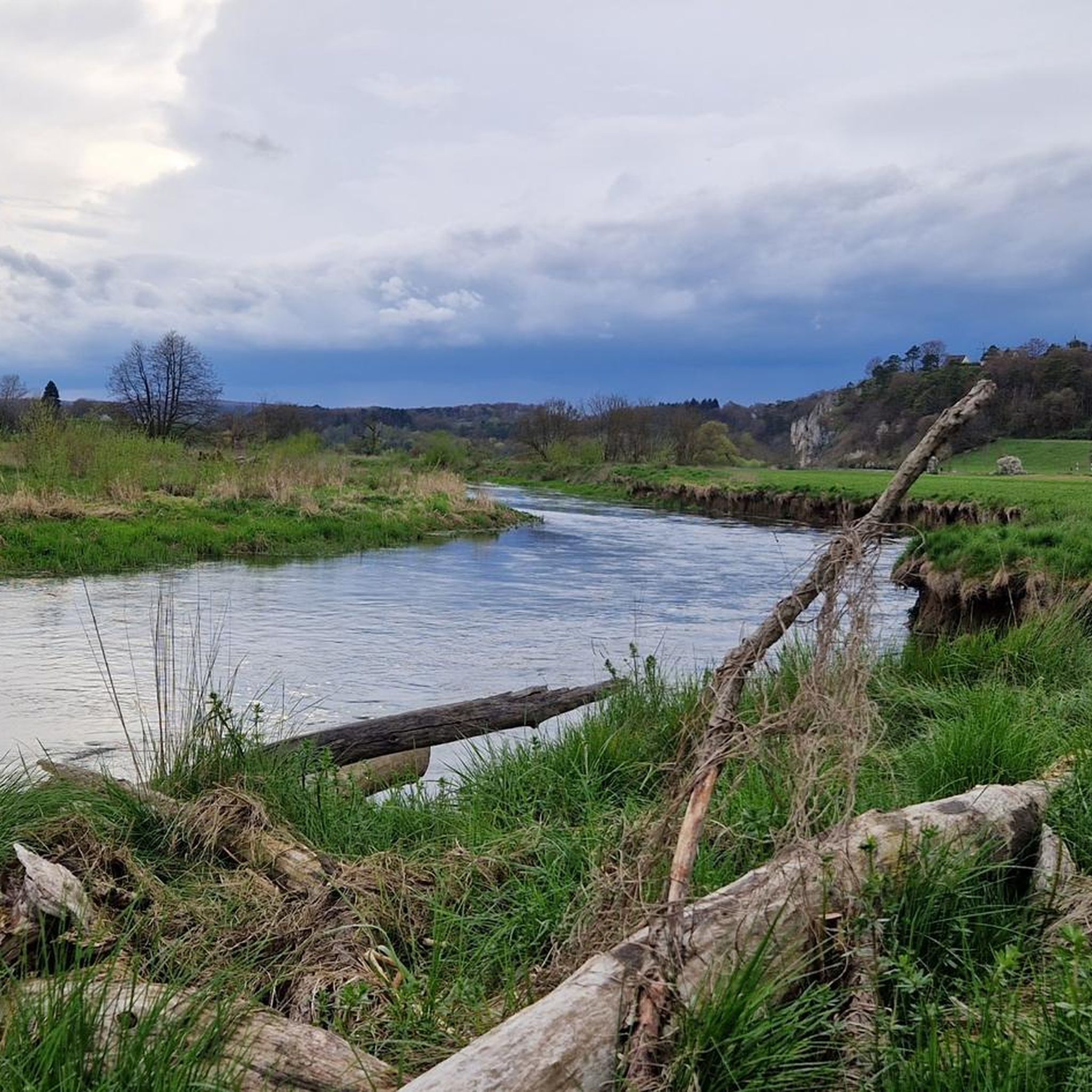
Beautiful rest area right on the Danube
1
0
Beautiful spot right on the Danube
1
0
Beautiful inn near the monastery in Obermarchtal
1
0

Wonderful route along the rocks.
0
0
Frequently Asked Questions
How many hiking trails are available around Untermarchtal?
There are over 20 hiking trails around Untermarchtal, offering a variety of experiences for different skill levels. You'll find everything from easy strolls to more moderate hikes.
What kind of terrain can I expect on hikes near Untermarchtal?
The terrain around Untermarchtal is quite diverse. You can expect picturesque river landscapes along the Donautal (Danube Valley), forested paths and interesting geological formations in the Wolfstal, and more elevated trails offering panoramic views, especially towards the prominent Bussen hill. Trails often feature a mix of forest paths and riverside promenades.
Are there easy hiking options suitable for beginners or families?
Yes, Untermarchtal offers 8 easy hiking routes. A great option for families or beginners is the Warm Springs at Algershofen – Frauenberg Church loop from Untermarchtal, which is 4.6 miles (7.5 km) long and leads through varied terrain.
What natural features or landmarks can I see while hiking in Untermarchtal?
Hiking around Untermarchtal allows you to discover several natural features and landmarks. You can explore the Donautal (Danube Valley) and the unique Wolfstal, known for its geological formations. Notable highlights include the Hoher Gießel Waterfall, the Confluence of the Lauter and Danube, and the impressive Bussen Pilgrimage Church and Castle Ruins, which offers expansive views.
Are there any circular walking routes in the area?
Many of the trails around Untermarchtal are designed as circular routes, allowing you to start and end at the same point. For example, the Laufenmühle Tufa Stone Saw – Donauwiesen Nature Reserve loop from Untermarchtal is a moderate 7.8-mile (12.6 km) circular path that takes you through diverse landscapes.
What do other hikers enjoy most about hiking in Untermarchtal?
The area is highly rated by the komoot community, with an average score of 4.6 stars from over 1200 reviews. Hikers often praise the diverse landscapes, the well-maintained paths, and the scenic views, particularly along the Danube and from elevated points like the Bussen.
Are the hiking trails around Untermarchtal dog-friendly?
Generally, the hiking trails in the Untermarchtal region are dog-friendly, offering plenty of natural spaces for you and your canine companion to explore. It's always advisable to keep dogs on a leash, especially in nature reserves or near livestock, and to respect local regulations.
Are there places to stop for refreshments or a meal along the trails?
While specific amenities vary by route, the region around Untermarchtal, including nearby villages like Obermarchtal, offers options for refreshments. The Klostergasthof Adler – Donauwiesen Nature Reserve loop from Untermarchtal, for instance, starts near a guesthouse, providing a convenient stop before or after your hike.
Is there public transport access to the hiking trailheads in Untermarchtal?
Untermarchtal is a village in the Alb-Donau district. While local bus services connect Untermarchtal to surrounding towns, direct public transport access to specific remote trailheads might be limited. It's recommended to check local bus schedules for connections to the village center or starting points of your chosen routes.
Where can I find parking for hiking trails in Untermarchtal?
Parking is generally available in Untermarchtal village, often near the monastery or other central points, which serve as common starting points for many routes. For specific trailheads outside the village, look for designated parking areas or roadside parking where permitted. Always ensure you park responsibly and legally.
What is the best time of year to go hiking in Untermarchtal?
The best time for hiking in Untermarchtal is typically from spring to autumn (April to October). Spring brings blooming wildflowers, especially in areas like the Wolfstal, while autumn offers beautiful foliage. Summer is also pleasant, though some trails might be busier. Winter hiking is possible but requires appropriate gear and checking trail conditions.
Are there any castles or historical sites to visit near the hiking routes?
Yes, the region is rich in history. The impressive Untermarchtal Monastery itself is a cultural landmark. Additionally, you can find several castles and ruins nearby, such as the Monsberg Castle Ruins or Mochental Castle. The Obermarchtal Abbey – View of Obermarchtal Abbey loop from Untermarchtal specifically offers views of the historic Obermarchtal Abbey.
Most popular routes around Untermarchtal
Most popular attractions around Untermarchtal

Get inspired with the komoot mobile app


Explore more
Browse the best Hikes in other regions.
