The best road cycling routes around Unterlangenegg
4.6
(660)
15,291
riders
168
rides
Road cycling routes around Unterlangenegg are situated in the Bernese Oberland of Switzerland, offering varied terrain for cyclists. The region features well-paved roads that traverse picturesque landscapes, including rolling hills and valleys. Cyclists can expect routes with panoramic views and access to areas near lakes like Lake Thun and Lake Brienz. The elevation changes provide options for both gentle rides and more challenging ascents.
Best road cycling routes around Unterlangenegg
- The most popular road cycling route is Steffisburg train station…
Last updated: July 4, 2026
5.0
(5)
110
riders
25.2km
01:05
170m
170m
Easy road ride. Great for any fitness level. Mostly well-paved surfaces and easy to ride.
5.0
(5)
61
riders
55.1km
02:41
730m
730m
Moderate road ride. Good fitness required. Mostly well-paved surfaces and easy to ride.

Sign up for free
35
riders
90.3km
04:58
1,770m
1,770m
Hard road ride. Very good fitness required. Some segments of this route may be unpaved and difficult to ride.
5.0
(1)
21
riders
25.4km
01:12
340m
340m
Moderate road ride. Good fitness required. Mostly well-paved surfaces and easy to ride.
19
riders
32.1km
02:10
770m
770m
Moderate road ride. Good fitness required. Mostly well-paved surfaces and easy to ride.
Get access to more routes and recommendations from other explorers.
Sign up for free
Already have an account?
Our route recommendations are based on thousands of hikes, rides, and runs completed by other people on komoot.
Start today with a free account
Your next adventure awaits.
Login or Signup
Tips from the Community

The Church of Würzbrunnen is a former pilgrimage church in the municipality of Röthenbach im Emmental, Canton of Bern, Switzerland. The church was dedicated to St. Stephen, but the pilgrimage was actually to St. Wolfgang. A wooden church, believed to have been founded by Leuthold von Rümligen (1115–1148), previously stood on the site of the current late Gothic church building. In 1148, Pope Eugene III confirmed Rüeggisberg Abbey's ownership rights to the Church of Würzbrunnen and the small Röthenbach Abbey. After a fire in 1494, the church was rebuilt in its present form, and in 1779 the interior was decorated in Baroque style with numerous biblical paintings. The church became particularly well-known through Franz Schnyder's film adaptations of Gotthelf's works. Today, it is a popular wedding venue, hosting numerous ceremonies from April to October.
0
0

Beautiful tour destination with a great restaurant.
0
0


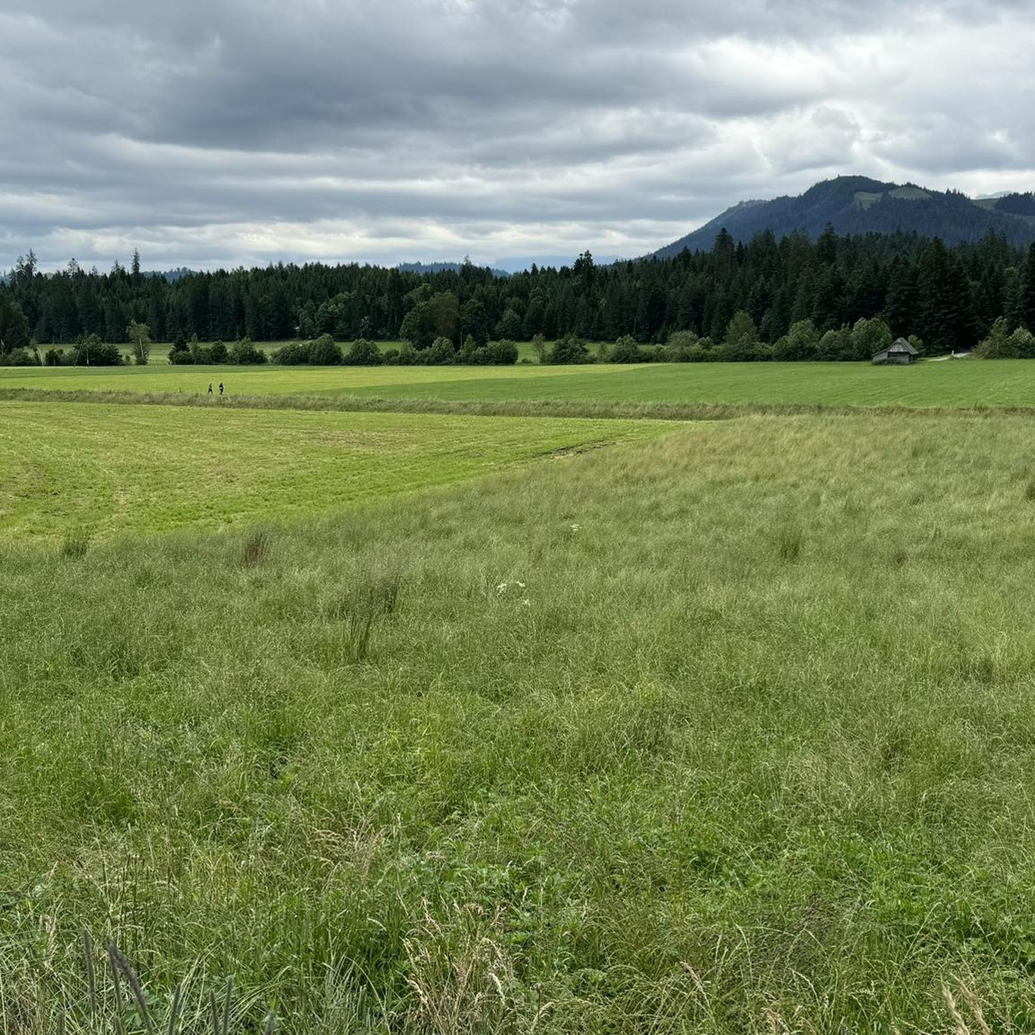
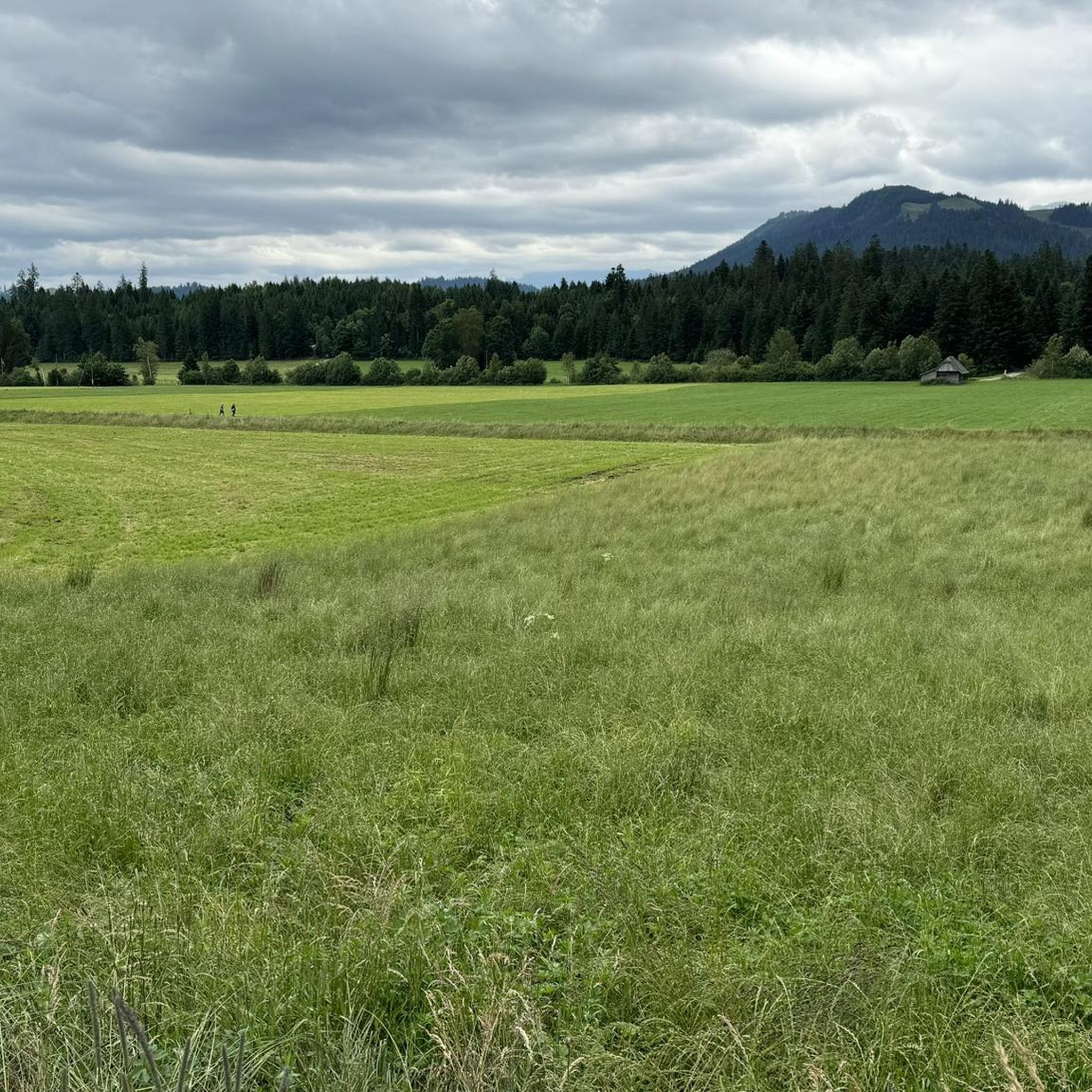
The road between Schwarenegg and Kreuzweg has a few rough spots but nothing dramatic, just keep your eyes open during the descent. This area is unique at it is very flat, looking like one is somewhere on a very flat surface.
0
0
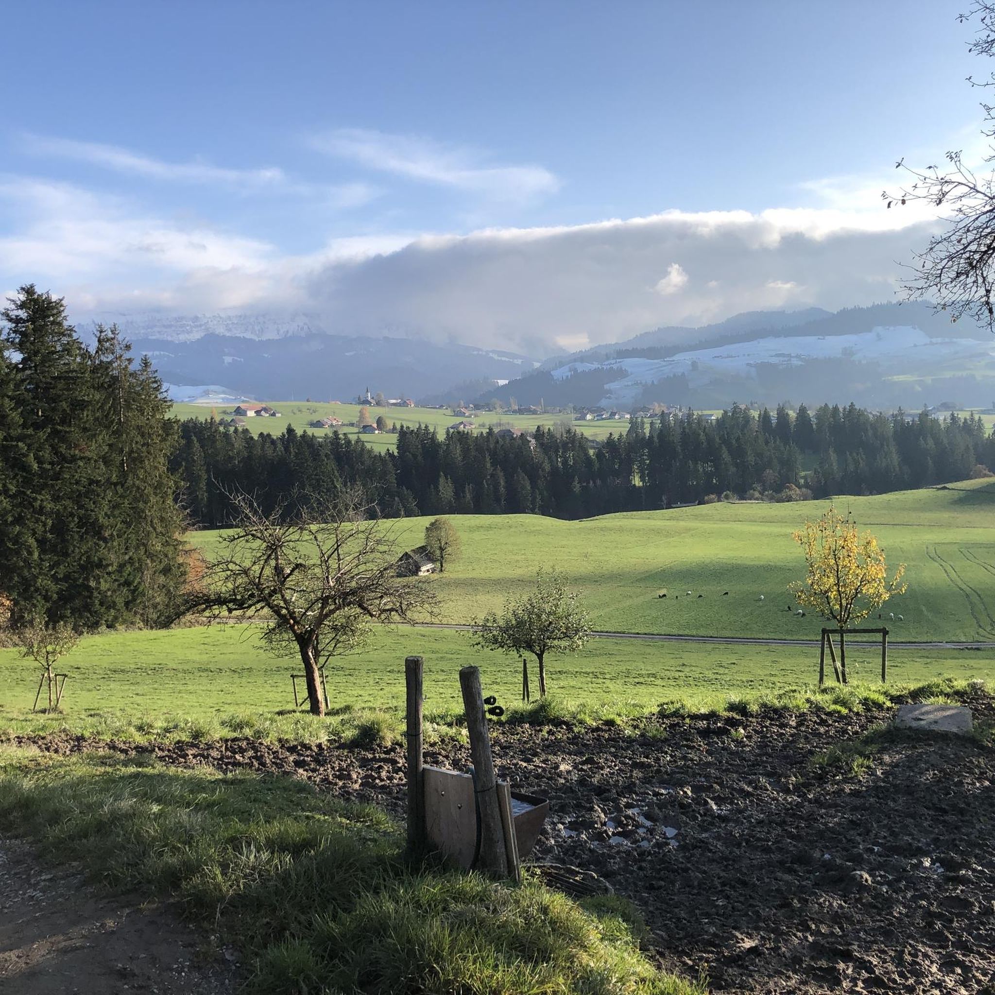
The asphalted pavement from Kreuzweg is in very good smooth condition and always offering spectacular view to please the eye. Don’t descent too quickly as one will miss the views.
0
0

A super flat route. However, if you approach from the gravel side, you'll mostly be riding against the wind.
0
0


Frequently Asked Questions
How many road cycling routes are available around Unterlangenegg?
There are over 170 road cycling routes around Unterlangenegg, catering to various skill levels. You'll find a good mix, with 35 easy routes, 99 moderate routes, and 36 challenging routes to explore.
What kind of terrain can I expect on road cycling routes in Unterlangenegg?
The region offers diverse terrain, from serene valleys and wide pastures to rolling hills and majestic mountain peaks. Routes often feature well-paved roads that traverse picturesque landscapes, including areas near Lake Thun and the Aare river. Expect varied elevation changes, providing options for both gentle rides and more demanding ascents.
Are there any easy road cycling routes suitable for beginners in Unterlangenegg?
Yes, there are several easy routes. A popular choice for a relatively gentle ride is the Steffisburg train station – China Höck Restaurant loop from Fahrni. This route is 25.2 km long and takes about 1 hour 5 minutes to complete on well-maintained roads.
Which routes offer the best panoramic views in the Unterlangenegg area?
Many routes provide stunning panoramic views of Lake Thun, the Bernese Alps, and the Jura mountains. The Blueme Observation Tower is a fantastic vantage point, and routes passing near the Burgfeldstand Summit also offer magnificent vistas. For a challenging ride with extensive views, consider the Blapbach – Moosegg Viewpoint loop from Linden.
Are there any long-distance road cycling routes for experienced riders?
Absolutely. For experienced riders seeking a longer challenge, the Blapbach – Moosegg Viewpoint loop from Linden is a demanding 90.2 km trail through hills, often completed in about 5 hours, offering extensive vistas.
What nearby attractions can I see while road cycling around Unterlangenegg?
Road cycling routes often pass by or offer views of significant attractions. You can enjoy views of Lake Thun and the Bernese Alps, and some routes might lead you near the charming Schwarzenegg Church. The Blueme Observation Tower and the Burgfeldstand Summit are excellent for panoramic views. The historic Thun Old Town and its impressive castle are also easily accessible from the area.
Are there circular road cycling routes available?
Yes, many of the road cycling routes around Unterlangenegg are designed as loops, allowing you to start and finish at the same point. Examples include the Blapbach – Blapbach Restaurant loop from Linden and the Röthenbach Shooting Clubhouse – Jassbach Hillside loop from Fahrni.
What do other cyclists say about road cycling in Unterlangenegg?
The road cycling routes in Unterlangenegg are highly regarded by the komoot community, with an impressive average rating of 4.6 stars from over 590 reviews. Cyclists often praise the well-paved roads, the varied terrain, and the breathtaking panoramic views of the Swiss Prealps and Lake Thun.
Are there any moderate road cycling routes that offer a good balance of challenge and scenery?
For a moderate challenge with beautiful scenery, consider the Blapbach – Blapbach Restaurant loop from Linden. This 55.1 km path features varied terrain with quiet roads and opportunities for panoramic views. Another option is the Sirius Observatory and Planetarium loop from Heiligenschwendi, which covers 32.1 km.
What is the best time of year for road cycling in Unterlangenegg?
The region is generally best enjoyed from spring through autumn. During these seasons, the weather is typically mild, and the landscapes are vibrant, offering ideal conditions for road cycling. While some routes might be accessible in winter, it's always advisable to check local weather conditions and road status, especially for higher elevations.
Most popular routes around Unterlangenegg
Most popular attractions around Unterlangenegg

Get inspired with the komoot mobile app


Explore more
Browse the best Road cycling routes in other regions.
