The best road cycling routes around Untergriesbach
4.4
(440)
7,672
riders
29
rides
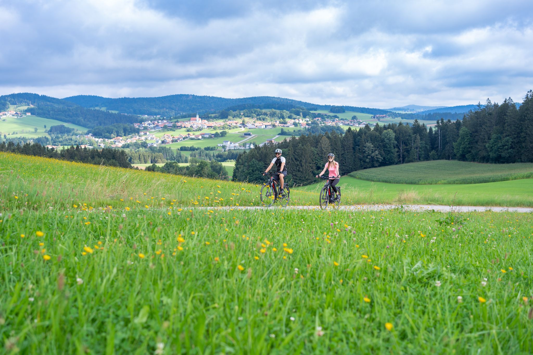
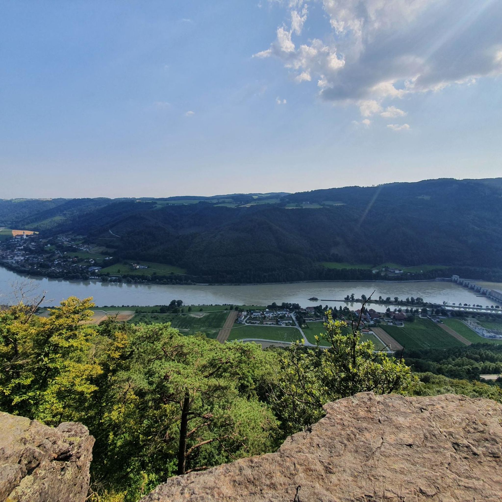
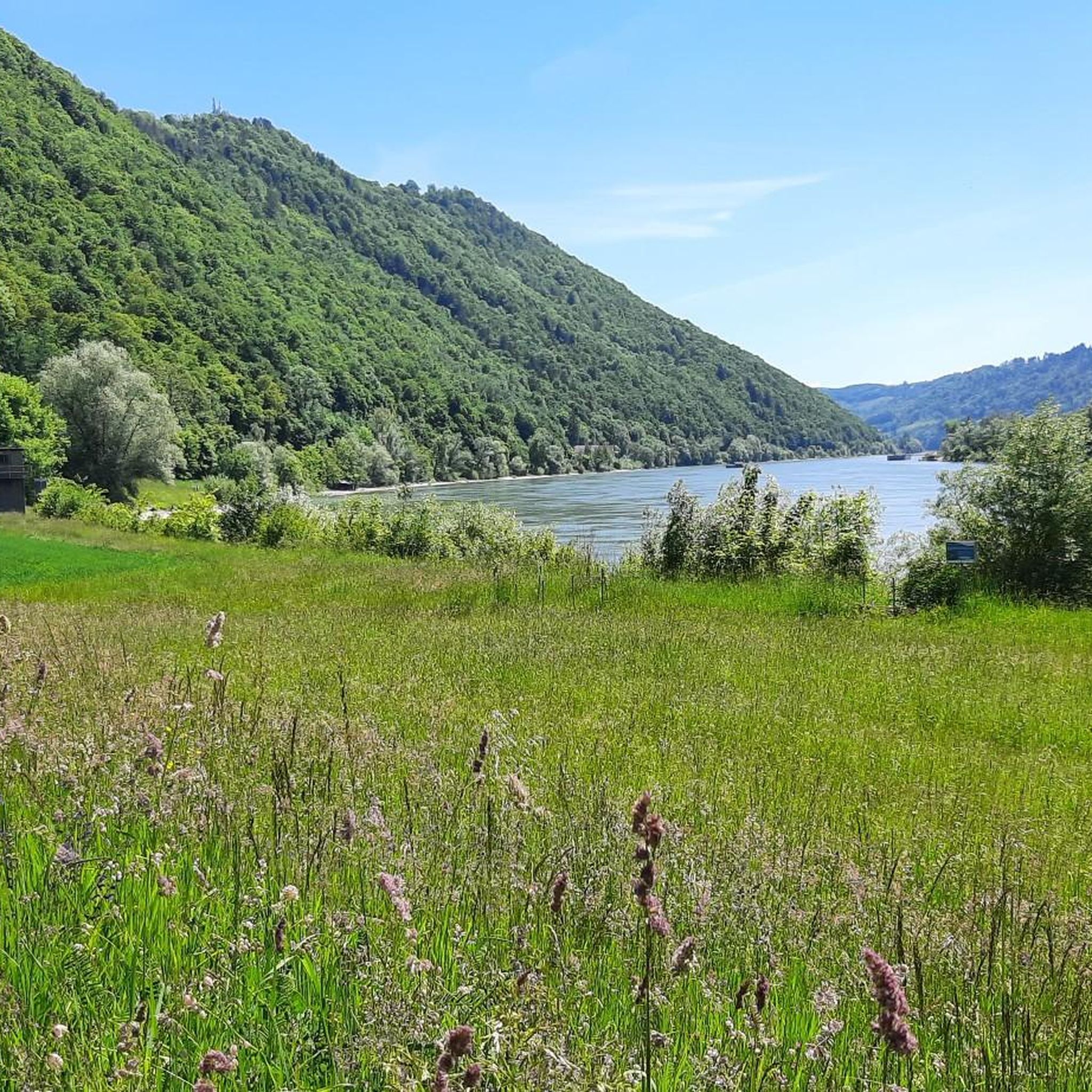
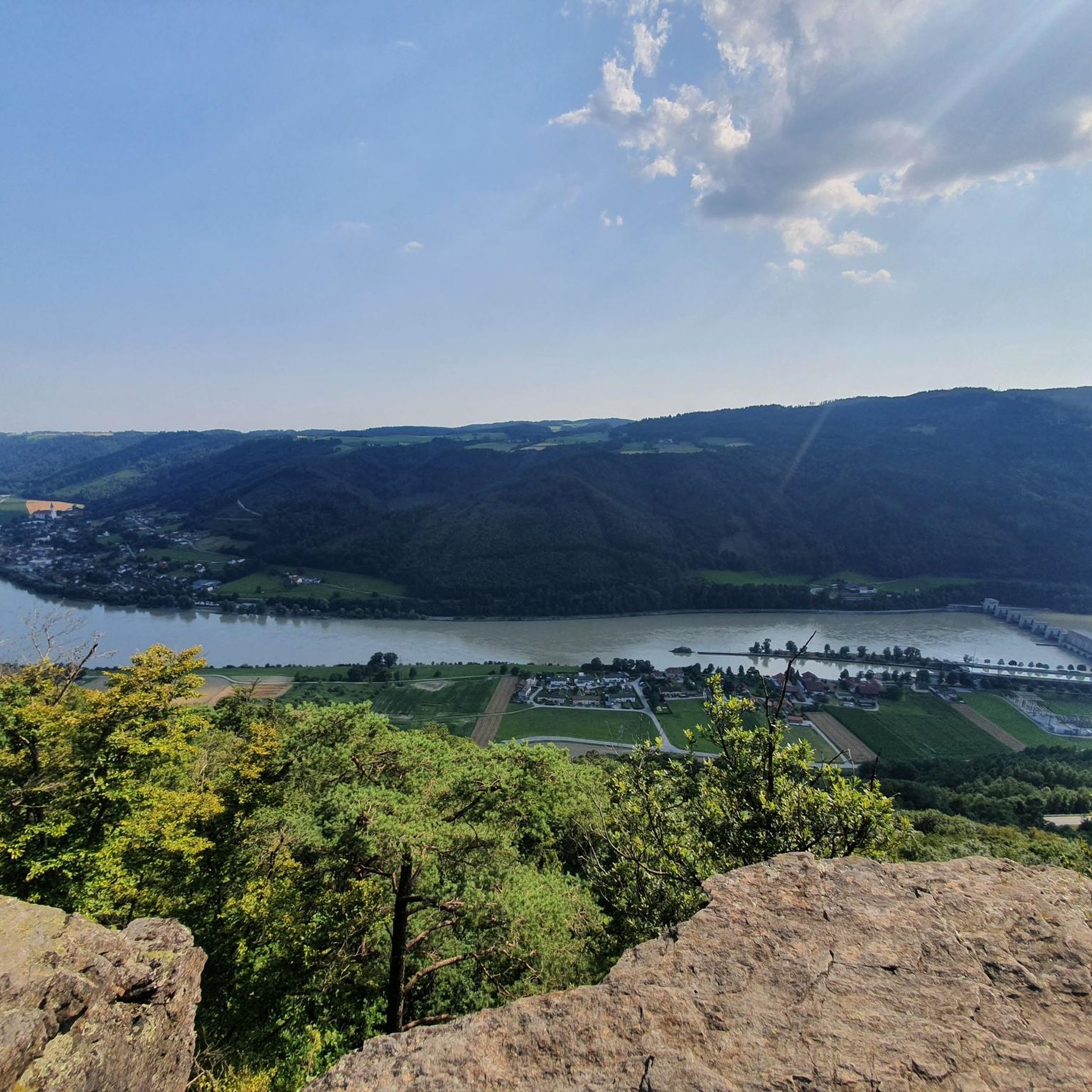
Road cycling routes around Untergriesbach traverse a diverse landscape characterized by rolling hills and dense forests of the Bavarian Forest region. The area features varied terrain with ascents and descents, offering panoramic views of the surrounding countryside and the Danube Valley. Its proximity to the Danube River provides access to extensive, mostly flat and paved sections of the Danube Cycle Path, suitable for long-distance rides. The region offers a network of well-developed, paved routes catering to various fitness levels.
Best…
Last updated: October 29, 2026
4.5
(4)
82
riders
32.3km
01:38
490m
490m
Moderate road ride. Good fitness required. Mostly well-paved surfaces and easy to ride.
4.2
(29)
118
riders
Moderate road ride. Good fitness required. Some segments of this route may be unpaved and difficult to ride.

40
riders
28.3km
01:32
500m
500m
Moderate road ride. Good fitness required. Mostly well-paved surfaces and easy to ride.
37
riders
59.2km
03:15
1,050m
1,040m
Hard road ride. Very good fitness required. Some segments of this route may be unpaved and difficult to ride.
4.2
(5)
30
riders
54.8km
02:50
820m
820m
Moderate road ride. Good fitness required. Some segments of this route may be unpaved and difficult to ride.
Get access to more routes and recommendations from other explorers.
Already have an account?
Our route recommendations are based on thousands of hikes, rides, and runs completed by other people on komoot.
Start today with a free account
Your next adventure awaits.


Other adventures around Untergriesbach

Tips from the Community

Beautiful place on the Danube. The car ferry from Austria also docks here.
0
0


St. Michael Church in the center of Untergriesbach
0
0

The beautiful village church of St. Michael towers over the village of Untergriesbach.
0
0

Caution cyclists! There are 90 steps to climb. Not feasible for everyone with the heavy e-bikes.
5
0
Caution cyclists! There are 90 steps to climb. Not feasible for everyone with the heavy e-bikes.
4
0
Just ring the bell and the ferry will set off.
4
0
Frequently Asked Questions
How many road cycling routes are available around Untergriesbach?
There are over 30 road cycling routes to explore in and around Untergriesbach. These routes offer a variety of experiences, from moderate rides to more challenging tours.
What kind of terrain can I expect on road cycling routes around Untergriesbach?
The region around Untergriesbach is characterized by a hilly landscape with varied terrain, offering engaging ascents and descents. You'll find routes traversing rolling hills, dense forests, and river valleys, providing panoramic views of the Bavarian Forest and the Danube Valley. Additionally, the proximity to the Danube River offers access to mostly flat and paved sections of the Danube Cycle Path for longer, less strenuous rides.
Are there road cycling routes suitable for different fitness levels?
Yes, Untergriesbach offers routes catering to various fitness levels. You'll find a good mix of moderate routes, such as the Obernzell on the Danube – Obernzell Castle loop from Untergriesbach, and more challenging options with significant elevation gain, like the Obernzell Castle – Obernzell on the Danube loop from Untergriesbach.
What landmarks or natural features can I see while road cycling near Untergriesbach?
Road cycling routes often pass by notable natural features and historical sites. You might encounter the significant natural monument of Jochenstein Rock Island, featuring a statue of Saint John of Nepomuk, or the historic Triftsperre Wooden Bridge over the Ilz, which offers a glimpse into the region's past. For specific highlights, consider exploring the Konzinger Steg — Footbridge over the Ranna Reservoir or the Ranna Reservoir Dam.
Are there any scenic viewpoints along the road cycling routes?
Absolutely. The hilly terrain around Untergriesbach frequently rewards cyclists with panoramic views of the surrounding Bavarian Forest and the Danube Valley. Routes like the State border - Niederranna – View of Engelhartszell loop from Untergriesbach include sections with scenic vistas, and the 'Untergriesbach Market Square – View of Wildenranna loop' is known for its views.
What do other road cyclists enjoy most about road cycling in Untergriesbach?
The area is highly rated by the komoot community, with an average score of 4.6 stars from over 30 reviews. Cyclists often praise the diverse landscape, the varied terrain with engaging ascents and descents, and the panoramic views of the Danube Valley. The well-developed network of paved routes also receives positive feedback.
Are there any loop road bike routes in Untergriesbach?
Yes, many of the road cycling routes around Untergriesbach are designed as loops, offering convenient starting and ending points. Examples include the View of Engelhartszell – Panorama Café Bauer loop from Untergriesbach and the Obernzell Castle – Obernzell Danube Ferry loop from Untergriesbach.
Can I reach other towns or cities by bike from Untergriesbach?
Yes, Untergriesbach is well-connected by cycling paths to other charming towns. The 'Three Rivers City' of Passau, known for its historic architecture, is approximately a two-hour bike ride away. Thermal towns like Bad Füssing and Bad Birnbach are also reachable by bike, offering opportunities for relaxation post-ride.
What is the best time of year for road biking in Untergriesbach?
While specific seasonal details for road biking aren't provided, the Bavarian Forest region is generally enjoyable for outdoor activities from spring through autumn. Summer offers pleasant temperatures for cycling through shaded forests and along river valleys. Always check local weather conditions before heading out.
Are there any lakes or reservoirs accessible by road bike near Untergriesbach?
Yes, the region features several beautiful water bodies. You can find highlights such as Freudensee, Kerber Quarry Lake, and Rannasee, which can be incorporated into your road cycling tours for scenic stops.
Most popular routes around Untergriesbach
Most popular attractions around Untergriesbach

Get inspired with the komoot mobile app


Explore more
Browse the best Road cycling routes in other regions.
