The best MTB trails around Unterfrauenhaid
4.9
(40)
163
riders
54
rides
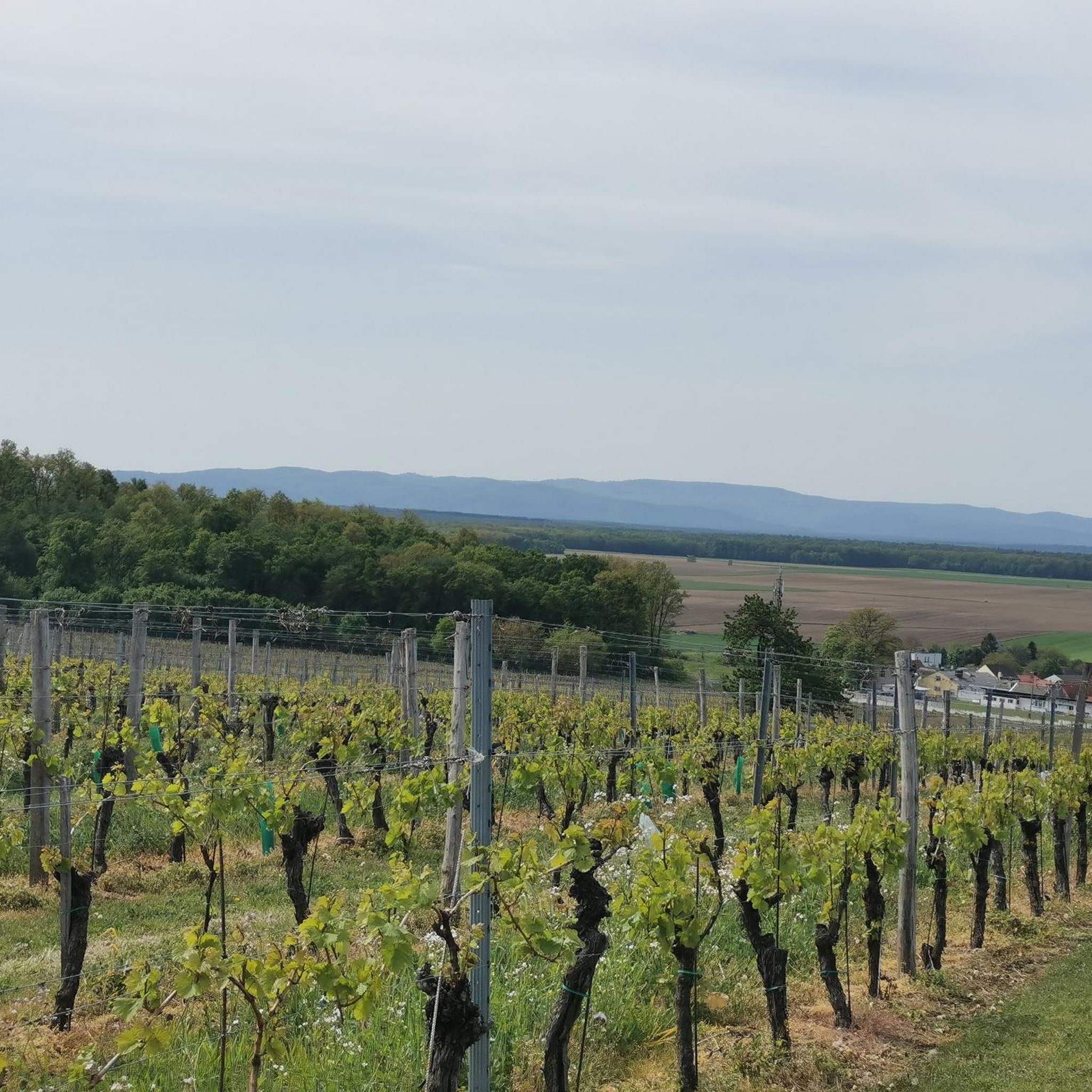
Mountain biking around Unterfrauenhaid offers access to diverse landscapes within Burgenland, Austria. The region is characterized by rolling hills, extensive woodlands, and a mild Pannonian climate, providing varied terrain for mountain bikers. It serves as a base for exploring the Burgenland Trails network, which features single trails adapted to the local topography. The area includes parts of the Geschriebenstein-Írottkő Nature Park, with its highest point at 884m, offering a mix of elevations and natural features.
Best mountain bike trails around…
Last updated: May 20, 2026
9
riders
31.4km
01:55
210m
210m
Moderate mountain bike ride. Great for any fitness level. Advanced riding skills necessary.
5.0
(2)
9
riders
Moderate mountain bike ride. Good fitness required. Suitable for all skill levels.

Sign up for free
5.0
(3)
12
riders
26.8km
01:27
110m
110m
Moderate mountain bike ride. Great for any fitness level. Advanced riding skills necessary.
4.7
(3)
12
riders
Moderate mountain bike ride. Great for any fitness level. Advanced riding skills necessary.
4
riders
31.3km
02:40
510m
510m
Moderate mountain bike ride. Good fitness required. Advanced riding skills necessary.
Get access to more routes and recommendations from other explorers.
Sign up for free
Already have an account?
Our route recommendations are based on thousands of hikes, rides, and runs completed by other people on komoot.
Start today with a free account
Your next adventure awaits.
Login or Signup
Tips from the Community

Cycle path between Stoob and Oberpullendorf with good surface
1
0
Quite a lot of traffic during the day but nice cafes to see and be seen :-)
0
0
Stoob train station
0
0

Instead of taking trains, you can take a railcar from April to October. More information at www.draisinentour.at
1
0
Drinking fountain is always a good thing :-)
1
0

Very nice panoramic view😁👍
1
0

Good alternative to the B50
0
0

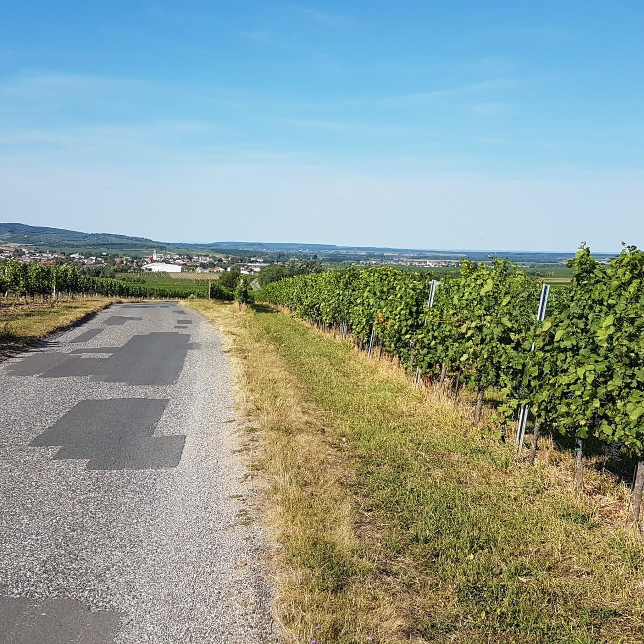
Beautiful view to Lake Neusiedl, Eisenstadt, the Vienna Basin, Anninger...
0
0
Frequently Asked Questions
How many mountain bike trails are available around Unterfrauenhaid?
There are over 50 mountain bike routes around Unterfrauenhaid, offering a variety of experiences for different skill levels. The komoot community has explored 55 routes in total.
What is the best time of year for mountain biking around Unterfrauenhaid?
Thanks to the mild Pannonian climate, mountain biking around Unterfrauenhaid is enjoyable almost all year round. The region experiences approximately 2,000 hours of sunshine annually, making it suitable for outdoor activities across seasons.
Are there mountain bike trails suitable for beginners or families in Unterfrauenhaid?
Yes, there are 10 easy mountain bike routes around Unterfrauenhaid, perfect for beginners or families. An example is the Bathing Lake Markt St. Martin – Oberpullendorf loop from Weppersdorf, which is 16.6 miles (26.8 km) long and leads through varied terrain.
Are there any challenging mountain bike trails for advanced riders?
For experienced riders seeking a challenge, there are 2 difficult mountain bike routes available around Unterfrauenhaid. The broader Burgenland Trails network in the Geschriebenstein area also offers trails adapted for enduro and downhill riders.
Can I find long-distance mountain bike routes in the area?
Yes, the region offers several longer routes. For instance, the Oberpullendorf – Rest area with drinking fountain loop from Oberpullendorf/Felsőpulya is a moderate 24.6 miles (39.6 km) path that provides extensive views of the local landscape, including woodlands and open areas.
Are there circular mountain bike routes available?
Many of the mountain bike routes around Unterfrauenhaid are designed as loops, allowing you to start and finish at the same point. Examples include the popular Lackenbach Castle – Markt St. Martin Bathing Pond loop from Horitschon and the Herrentisch Rest Area – Sonnensee Ritzing loop from Weppersdorf.
What kind of landscapes can I expect to see while mountain biking here?
Mountain biking around Unterfrauenhaid takes you through diverse landscapes characteristic of Burgenland. You'll encounter rolling hills, extensive woodlands, and open areas, often within the Geschriebenstein-Írottkő Nature Park, which features a mix of elevations and natural features.
What do other mountain bikers enjoy most about the trails in Unterfrauenhaid?
The mountain bike trails around Unterfrauenhaid are highly rated by the komoot community, with an average score of 5.0 stars from over 30 reviews. Riders often praise the varied terrain, the scenic Burgenland countryside, and the well-maintained routes that cater to different skill levels.
Are there any viewpoints or interesting landmarks along the mountain bike trails?
Yes, the region offers several points of interest. You can visit the Geographical Center of Burgenland or climb the High Mountain Lookout Tower (Aussichtsturm) for panoramic views. The historic Kobersdorf Castle is also nearby, adding a cultural dimension to your ride.
Where can I find parking for mountain biking in the area?
While specific parking details for individual routes are best checked on the respective tour pages, the broader Burgenland Trails network, which is accessible from Unterfrauenhaid, offers designated starting points with parking, such as the Geschriebenstein parking lot and Ranch Parking Lot.
Is it possible to access mountain bike trails using public transport?
The region around Unterfrauenhaid has public transport options, but direct access to specific trailheads can vary. It's advisable to check local bus or train schedules and connections to towns near the trail starting points, such as Oberpullendorf or Weppersdorf, which are common starting points for many routes.
Are there any natural features or protected areas to explore while mountain biking?
Absolutely. The area is part of the Geschriebenstein-Írottkő Nature Park, which is a cross-border nature reserve. This park, home to Burgenland's highest point (884m), offers diverse ecosystems and over 500 km of well-marked trails, providing a rich natural backdrop for your rides.
Most popular attractions around Unterfrauenhaid

Get inspired with the komoot mobile app


Explore more
Browse the best MTB trails in other regions.
