The best walks and hikes around Hochfilzen
4.5
(1122)
5,174
hikers
54
hikes
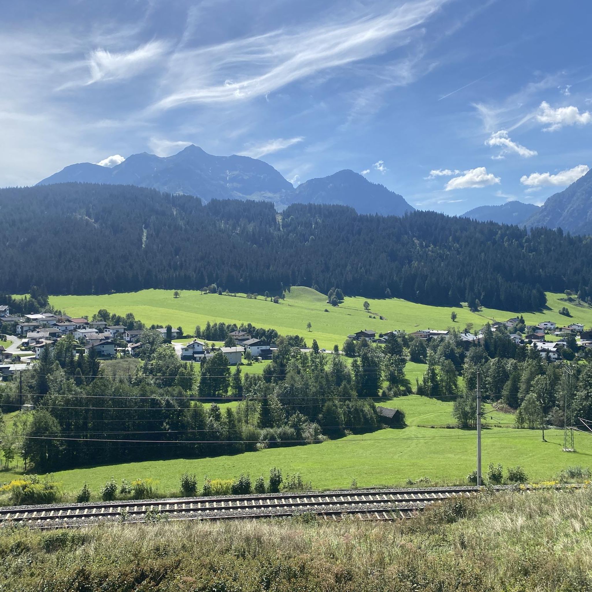
Hiking trails around Hochfilzen are situated in the Pillersee Valley within the Kitzbühel Alps, at an elevation of approximately 959 to 1,000 meters above sea level. The region is characterized by diverse mountain scenery, including dense forests, verdant alpine meadows, and clear mountain lakes. It is embraced by the Leoganger Steinberge and Loferer Steinberge mountain chains, offering varied terrain for outdoor activities. Natural features like the protected Griessner Hochmoor and the prominent Buchensteinwand mountain contribute to the landscape.
Best hiking trails around Hochfilzen
- The most popular hiking route is Crossing Buchensteinwand, a 6.1 miles (9.9 km) trail that takes 3 hours 22 minutes to complete. This moderate route explores the prominent Buchensteinwand mountain, known for its panoramic views.
- Another top favourite among local hikers is Hoametzl Hut – Wiesensee loop from Hochfilzen, a moderate 8.9 miles (14.3 km) path. This route leads through varied terrain, passing the tranquil Wiesensee and the Hoametzl mountain hut.
- Local hikers also love the Jakobskreuz on the Buchensteinwand – View of the Leogang Mountains loop from Hochfilzen, a 9.1 miles (14.6 km) trail leading through mountain landscapes, often completed in about 4 hours 46 minutes. This moderate path offers views of the Leogang Mountains from the Jakobskreuz summit cross.
- Hiking around Hochfilzen is defined by dense forests, alpine meadows, and mountain lakes, set against the backdrop of the Leoganger and Loferer Steinberge. The network of routes offers options for various ability levels, from leisurely walks to more challenging ascents.
- The routes in Hochfilzen are highly rated by the komoot community with an average score of 4.5 stars from over 900 reviews. More than 4000 hikers have used komoot to explore Hochfilzen's varied terrain.
Last updated: September 27, 2026
4.4
(8)
34
hikers
9.90km
03:23
470m
570m
Moderate hike. Good fitness required. Easily-accessible paths. Suitable for all skill levels.
4.5
(51)
208
hikers
10.6km
03:10
320m
320m
Moderate hike. Good fitness required. Easily-accessible paths. Suitable for all skill levels.

4.8
(39)
155
hikers
Moderate hike. Good fitness required. Easily-accessible paths. Suitable for all skill levels.
4.6
(15)
86
hikers
8.23km
03:07
480m
480m
Moderate hike. Good fitness required. Mostly accessible paths. Sure-footedness required.
4.8
(15)
55
hikers
13.2km
04:28
610m
610m
Moderate hike. Good fitness required. Easily-accessible paths. Suitable for all skill levels.
Get access to more routes and recommendations from other explorers.
Already have an account?
Our route recommendations are based on thousands of hikes, rides, and runs completed by other people on komoot.
Start today with a free account
Your next adventure awaits.
Popular around Hochfilzen
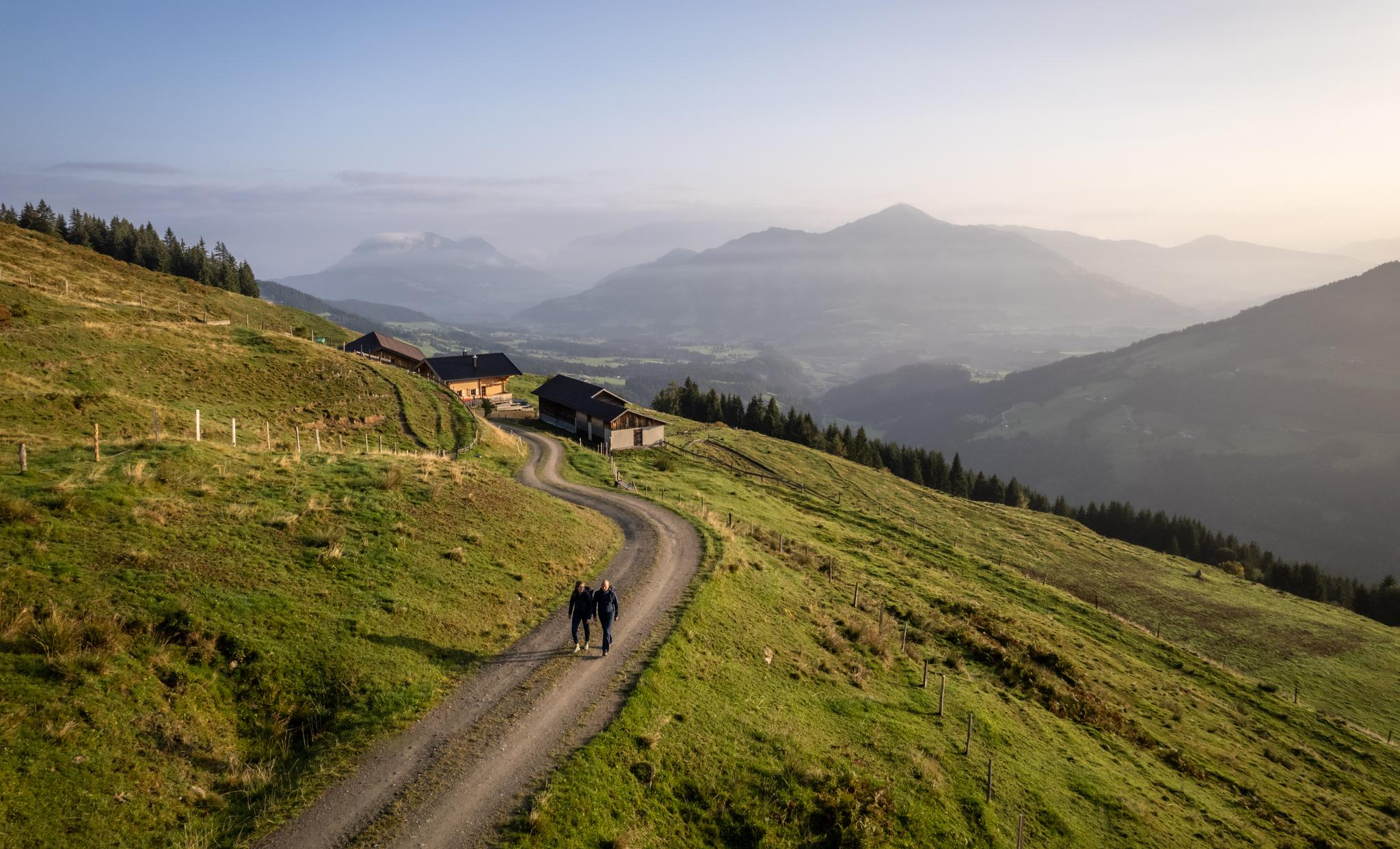
Varied and vibrant hiking in the Kitzbühel Alps
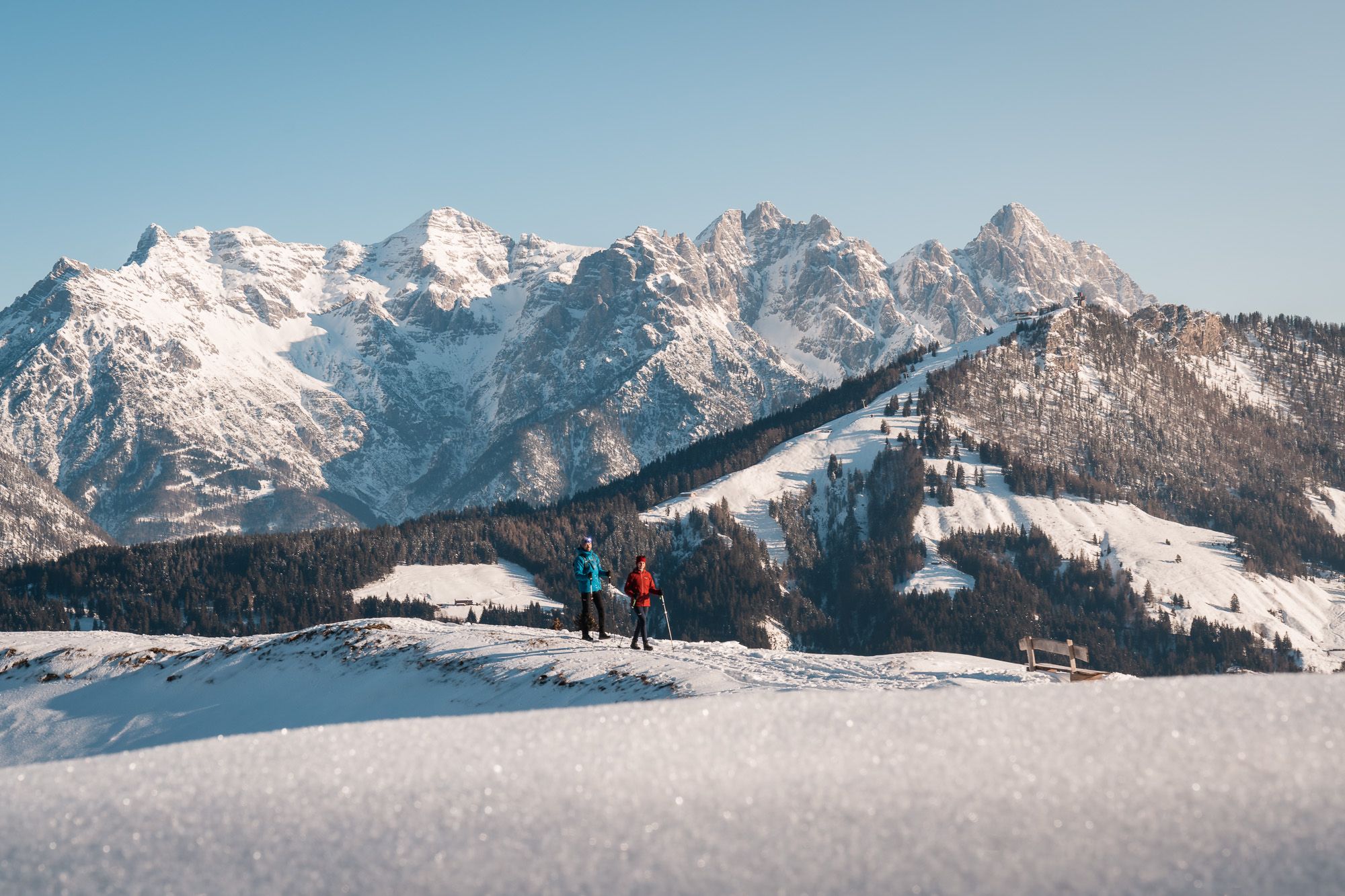
Austria’s Pillersee Valley – hiking in Tyrol’s snowiest region
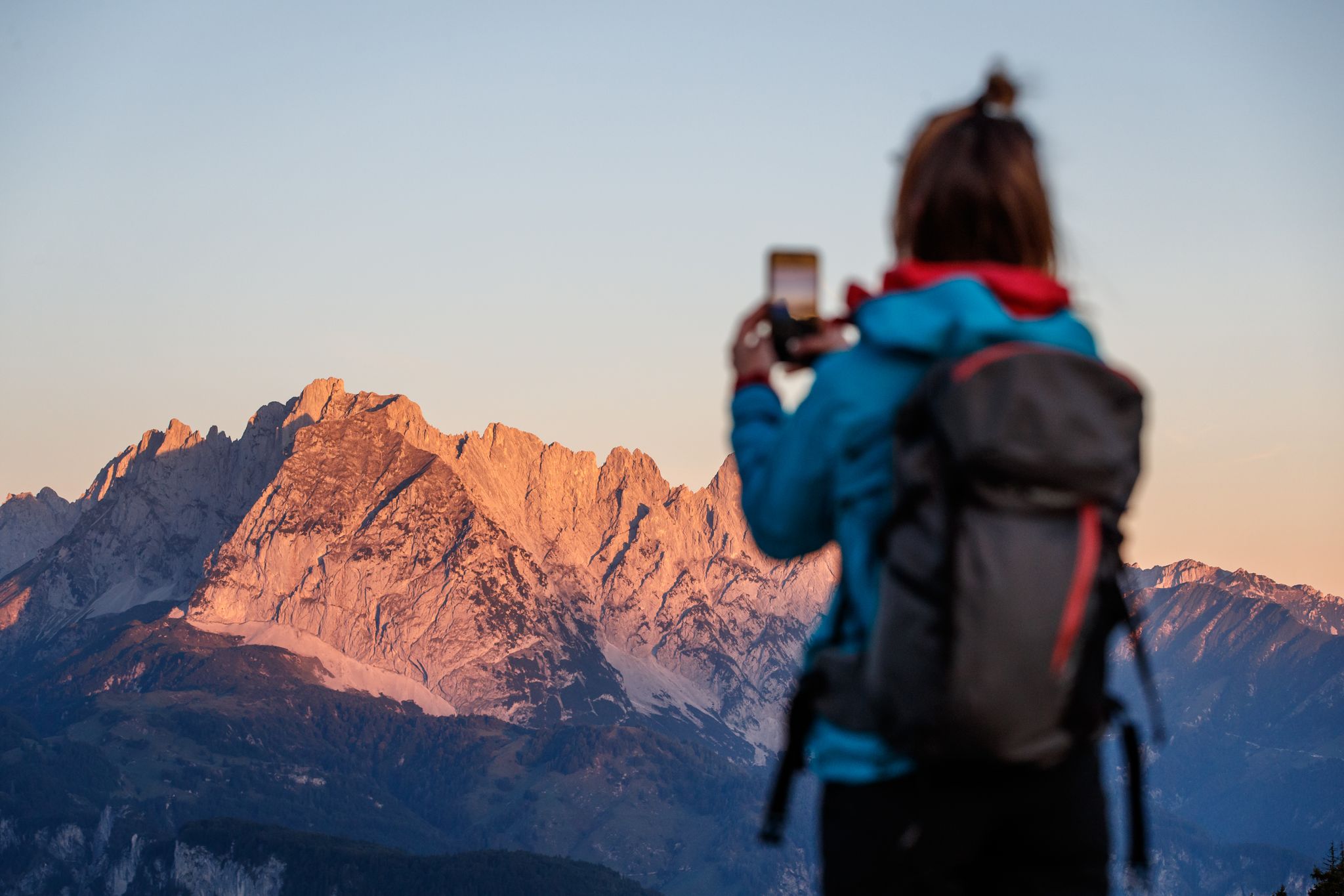
Pack your camera – 5 epic hikes along the Pillersee Valley in Austria
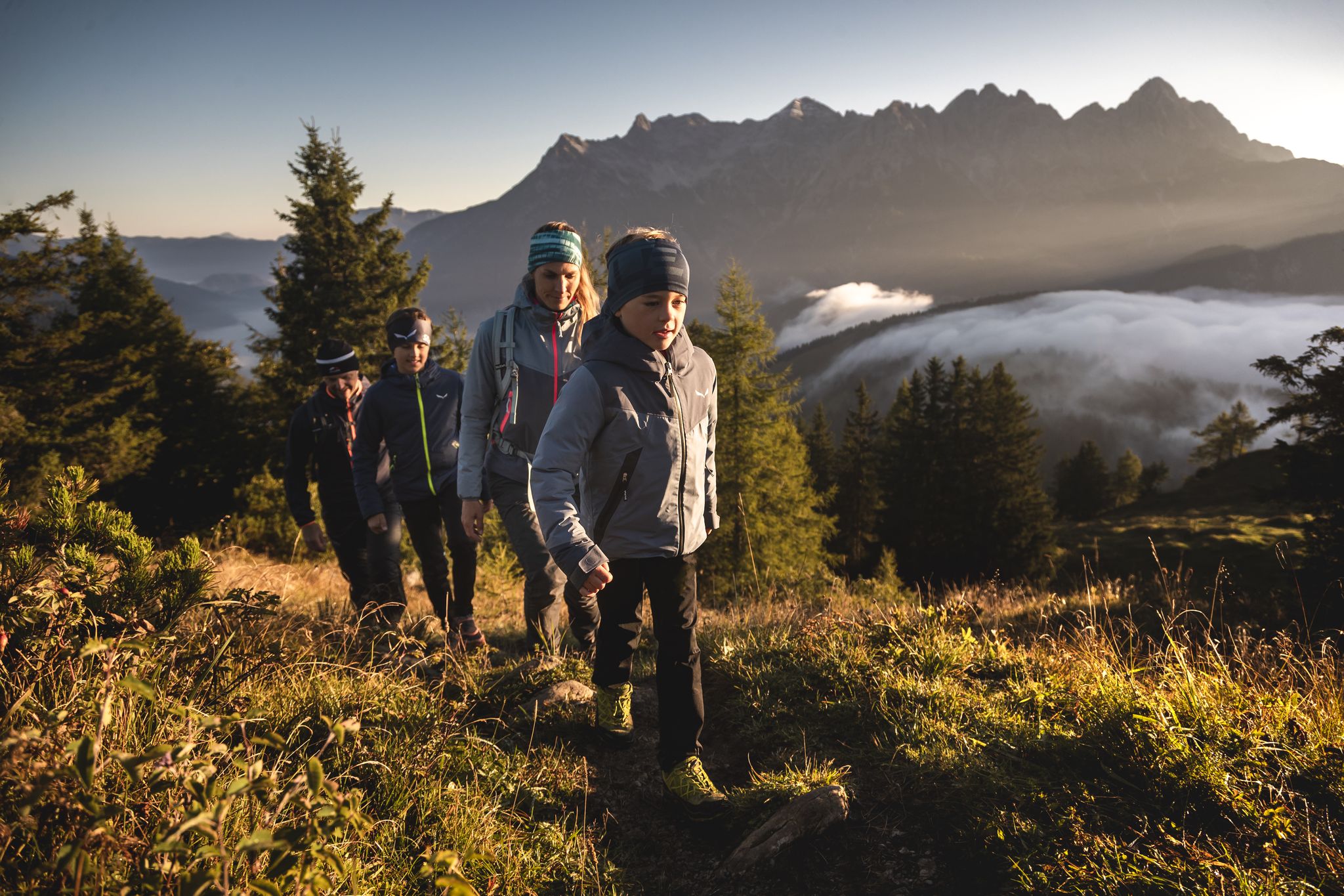
A golden family holiday – autumn in PillerseeTal
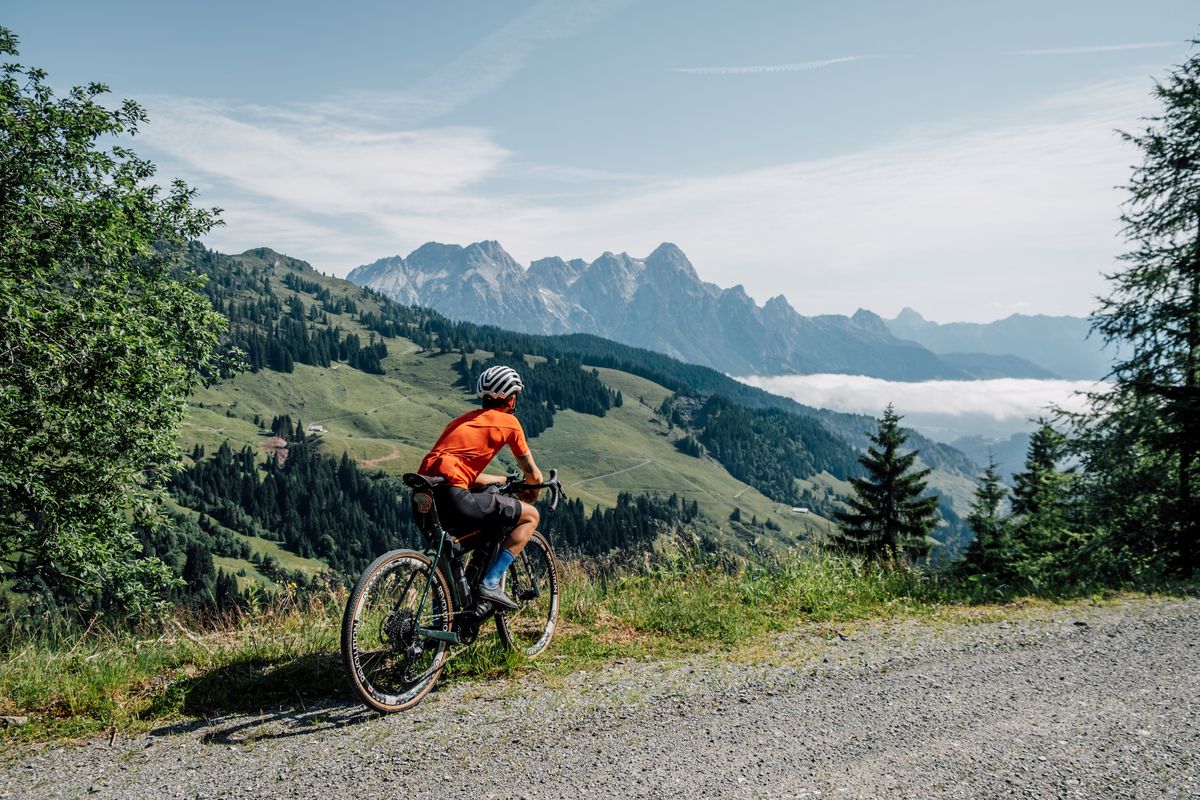
Challenge accepted! Gravel biking in Austria's largest bike region
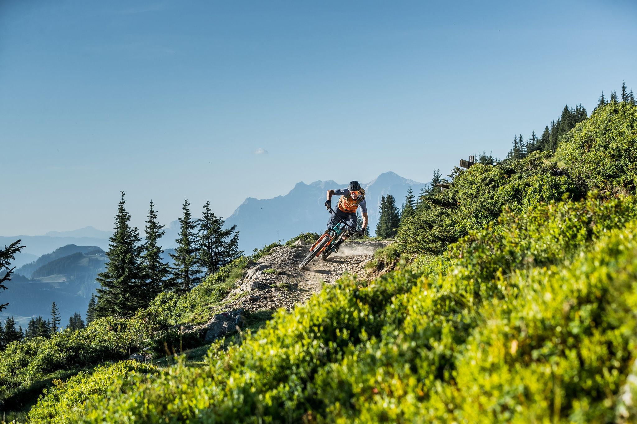
Endless trails in Austria's largest MTB region

Gravel biking around Hochfilzen
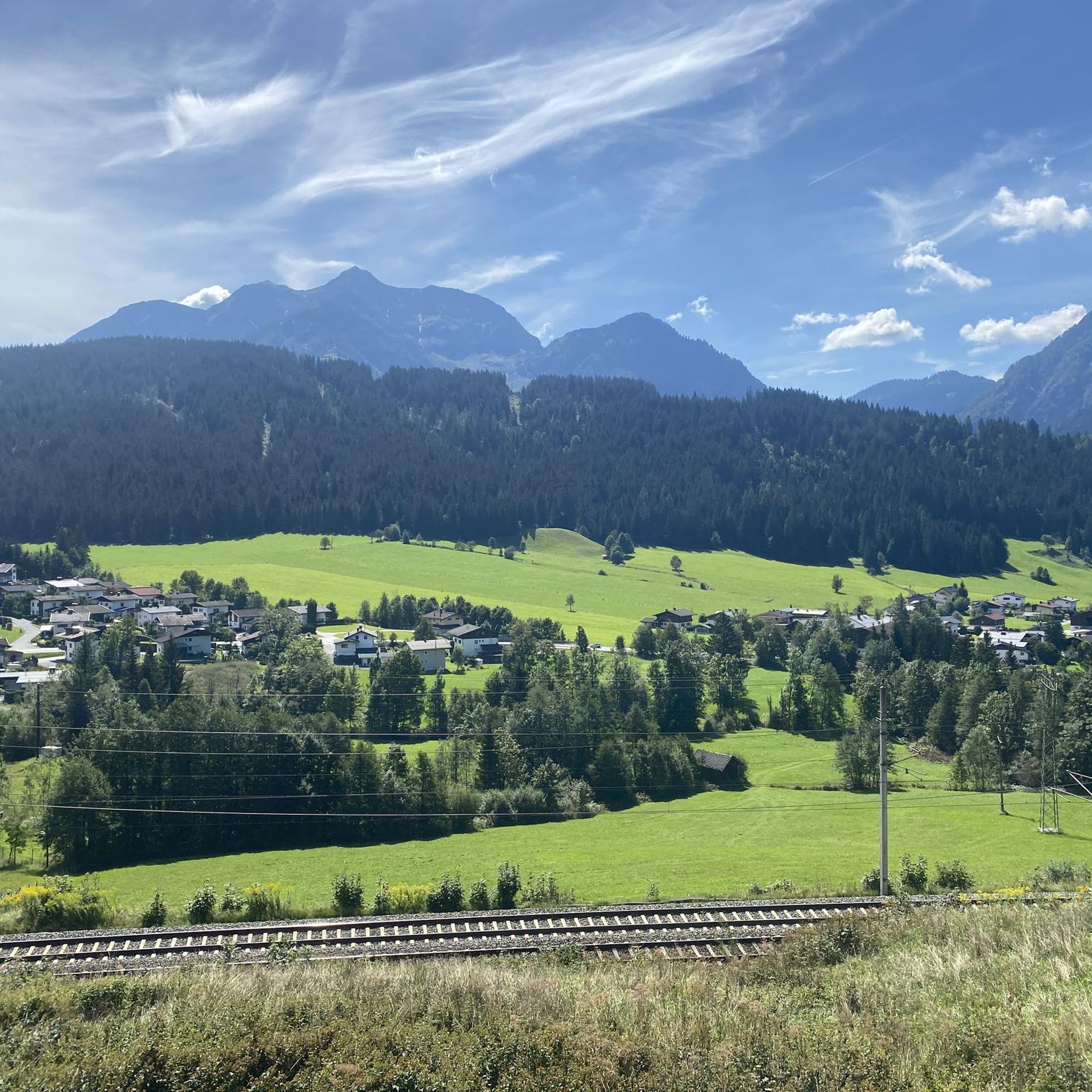
MTB Trails around Hochfilzen
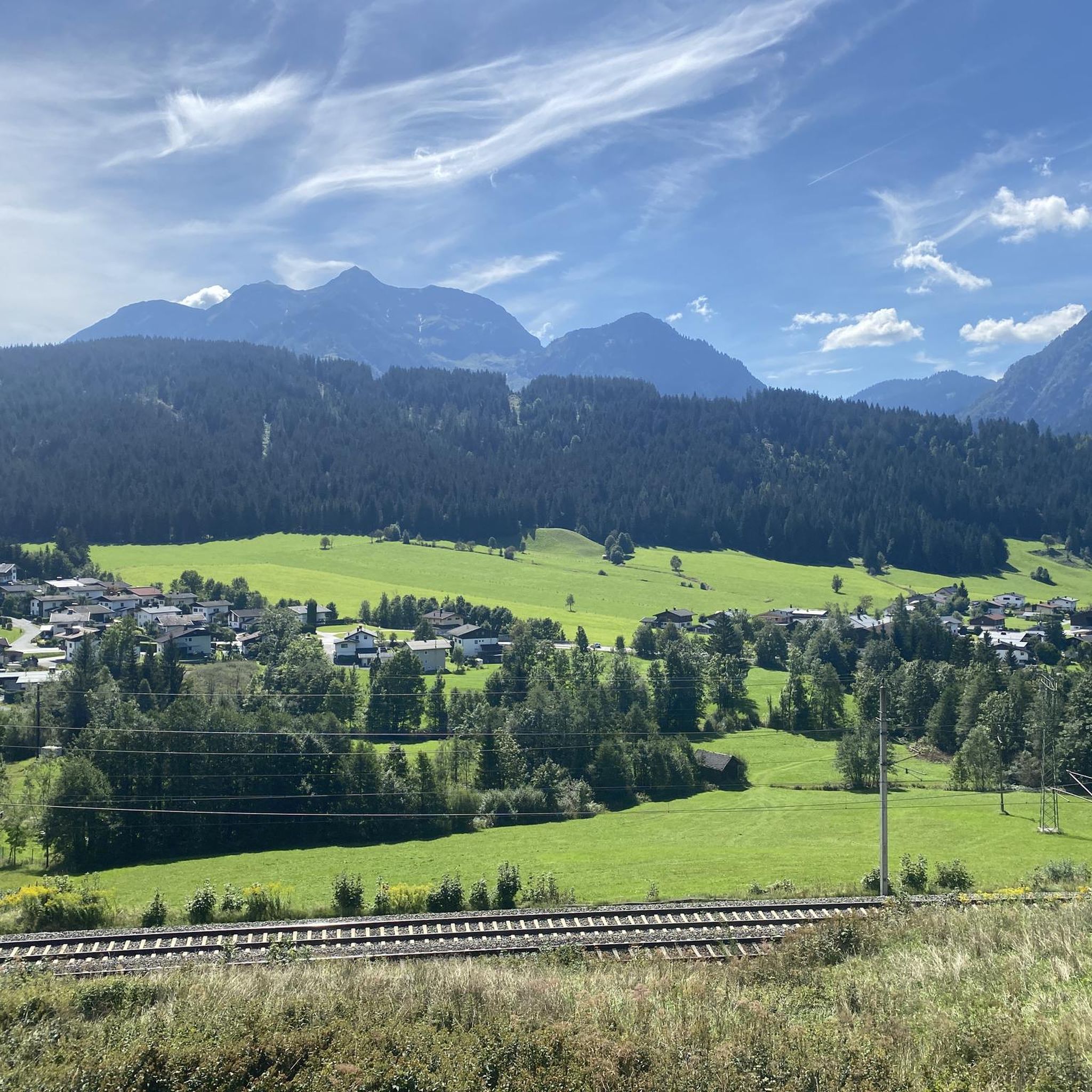
Road Cycling Routes around Hochfilzen
Cycling around Hochfilzen
Other adventures around Hochfilzen


Tips from the Community

..shortly after the mountain inn there is also a summit cross.
0
0

Beautiful small reservoir with a resting place.
0
0

Great view from the top. A total of 159 steps...
2
0

The water of this beautiful reservoir is used in winter to make snow on the ski slopes.
7
1

Sit down and enjoy!!!
1
0
Please note!!! Closed on Tuesdays 😉.
1
0
A water reservoir has also been built on the Buchensteinwand for the snow cannons in winter.
6
2
Frequently Asked Questions
How many hiking trails are available around Hochfilzen?
Hochfilzen offers a wide selection of hiking opportunities, with over 50 routes available for exploration. These trails cater to various skill levels, from easy strolls to more challenging mountain ascents.
What kind of terrain can I expect on hikes in Hochfilzen?
The hiking trails around Hochfilzen are characterized by diverse mountain scenery. You'll encounter dense forests, verdant alpine meadows, and crystal-clear mountain lakes, all set against the backdrop of the majestic Leoganger Steinberge and Loferer Steinberge mountain chains.
Are there any easy or family-friendly hiking options in Hochfilzen?
Yes, Hochfilzen has 19 easy routes, many of which are suitable for families. The broader Pillersee Valley offers over 400 kilometers of trails, including options for families with pushchairs. Consider exploring paths around the tranquil Pillersee lake for a leisurely experience.
What are some notable natural features or landmarks to see while hiking?
Hikers can discover several impressive natural features and landmarks. The protected Griessner Hochmoor is a significant natural highlight with a bird-watching tower and the romantic Lake Grießen. The Buchensteinwand mountain, rising to 1,456 meters, offers magnificent panoramic views and is home to the Jakobskreuz summit cross. The beautifully nestled Wildseeloder Hut near the Wildsee mountain lake is also a rewarding destination.
Are there any circular hiking routes in the Hochfilzen area?
Yes, there are several excellent circular routes. A popular choice is the Hoametzl Hut – Wiesensee loop from Hochfilzen, which is a moderate 14.3 km path passing the tranquil Wiesensee and the Hoametzl mountain hut. Another option is the Jakobskreuz on the Buchensteinwand – View of the Leogang Mountains loop from Hochfilzen, offering stunning mountain vistas.
What do other hikers say about the trails in Hochfilzen?
The hiking routes in Hochfilzen are highly rated by the komoot community, with an average score of 4.5 stars from over 900 reviews. Hikers often praise the varied terrain, the stunning mountain scenery, and the well-maintained paths that lead through forests, alpine meadows, and past clear mountain lakes.
Are there any challenging hikes for experienced mountaineers?
Yes, for experienced hikers, Hochfilzen offers 8 difficult routes. The region's diverse mountain scenery, including the Leoganger Steinberge and Loferer Steinberge, provides opportunities for more demanding ascents and summit tours beyond leisurely walks.
Can I find mountain huts or places for refreshment along the trails?
Absolutely. The region has excellent infrastructure for hikers, including numerous mountain huts that provide places for rest and refreshment. Notable examples include the Wildseeloder Hut and the Hoametzl Hut, which is featured on the Hoametzl Hut – Wiesensee loop.
Are there any unique themed trails in Hochfilzen?
Yes, for a unique and interactive experience, you can explore the Biathlon World Championship Trail. This trail features 16 stations with puzzles and information about the sport of biathlon and the World Championship venue, offering an engaging walk for all ages.
What is the Buchensteinwand and what can I do there?
The Buchensteinwand is a prominent mountain rising to 1,456 meters, offering magnificent panoramic views. It is home to the impressive Jakobskreuz summit cross. Several routes, such as Crossing Buchensteinwand, allow you to explore this area and enjoy its vistas.
Are there any gorges or caves to visit near Hochfilzen?
Yes, the region features some impressive natural monuments. You can visit the Vorderkaser Gorge, which is part of a historic pilgrimage trail, or explore the Birnbach Cave for a different kind of natural wonder.
Most popular routes around Hochfilzen
Most popular attractions around Hochfilzen

Get inspired with the komoot mobile app


Explore more
Browse the best Hikes in other regions.
