The best MTB trails in the Uncompahgre Plateau
4.8
(27)
1,955
riders
72
rides
Mountain biking in the Uncompahgre Plateau offers access to a vast geological uplift in western Colorado, characterized by diverse landscapes and extensive trail systems. The region features significant elevation changes, from approximately 4,600 feet near the Colorado River to over 10,000 feet at its summit ridge. Riders can explore sage-covered canyons, pinyon and juniper forests, striking red rock canyons, and higher-elevation aspen groves and ponderosa pines. Approximately 75% of the plateau is public land, providing ample space for exploration across…
Last updated: June 24, 2026
4.5
(2)
213
riders
12.9km
01:16
240m
240m
This difficult 8.0-mile mountain biking route offers challenging terrain and incredible red-rock views above the Colorado River near Fruita.
5.0
(2)
70
riders
18.4km
01:43
270m
270m
Experience moderate mountain biking on Mary's Loop and Steve's Loop, featuring stunning Colorado River views and varied desert terrain.

Sign up for free
5.0
(1)
57
riders
28.3km
02:42
470m
470m
Experience moderate mountain biking on the 17.6-mile Western Rim Trail, offering panoramic views of the Colorado River and La Salle mountain
46
riders
10.2km
01:01
210m
210m
This difficult 6.3-mile mountain biking loop in Grand Junction's Lunch Loops offers technical terrain, desert scenery, and views of Colorado
14
riders
19.8km
01:58
420m
420m
Mountain bike the Butterknife Loop, a 12.3-mile moderate trail in Grand Junction, Colorado, featuring technical desert terrain and scenic ri
9
riders
28.4km
02:55
800m
800m
This difficult 17.6-mile mountain bike loop in Grand Junction offers extensive slickrock, technical descents, and amazing views of the Grand
8
riders
19.3km
01:49
300m
300m
This 12.0-mile easy mountain bike loop, Mack Ridge and Lion's Loop, offers 979 feet of elevation gain and scenic views near Fruita.
3
riders
12.3km
01:12
230m
230m
The Moore Fun Trail is a 7.7-mile mountain biking route in Colorado, known for its technical terrain and panoramic views.
1
riders
13.2km
01:24
340m
340m
This difficult 8.2-mile mountain biking loop offers technical terrain and panoramic views of the Colorado National Monument.
5.0
(1)
178
riders
47.3km
03:57
650m
650m
Hard mountain bike ride. Good fitness required. Advanced riding skills necessary. Some portions of the route may require you to push your bike.
Get access to more routes and recommendations from other explorers.
Sign up for free
Already have an account?
Our route recommendations are based on thousands of hikes, rides, and runs completed by other people on komoot.
Start today with a free account
Your next adventure awaits.
Login or Signup
Popular around Uncompahgre Plateau
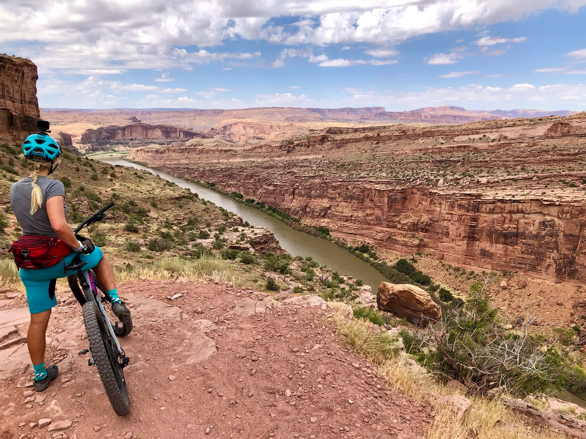
Kokopelli's Trail — Biking a legend’s trail across the desert
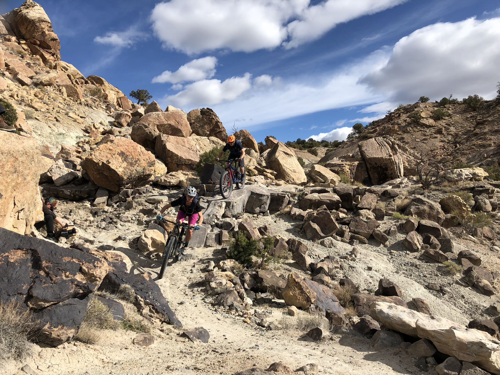
World-class desert trails in the Grand Valley

American Discovery Trail — Walking from sea to shining sea

American Discovery Trail — Riding coast to coast

From the mountain peaks to the prairie – Rocky Mountains and Great Plains
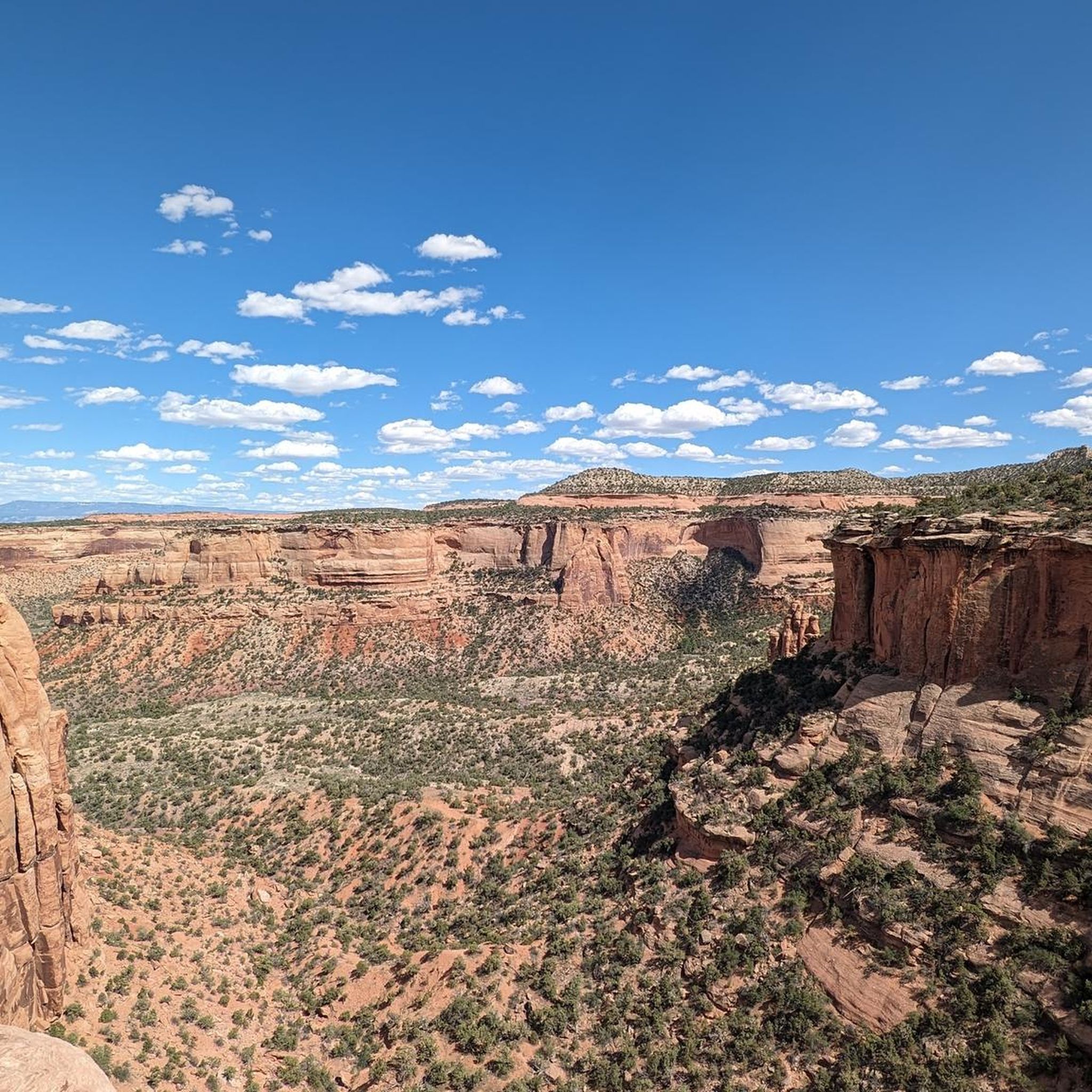
Hiking in the Uncompahgre Plateau
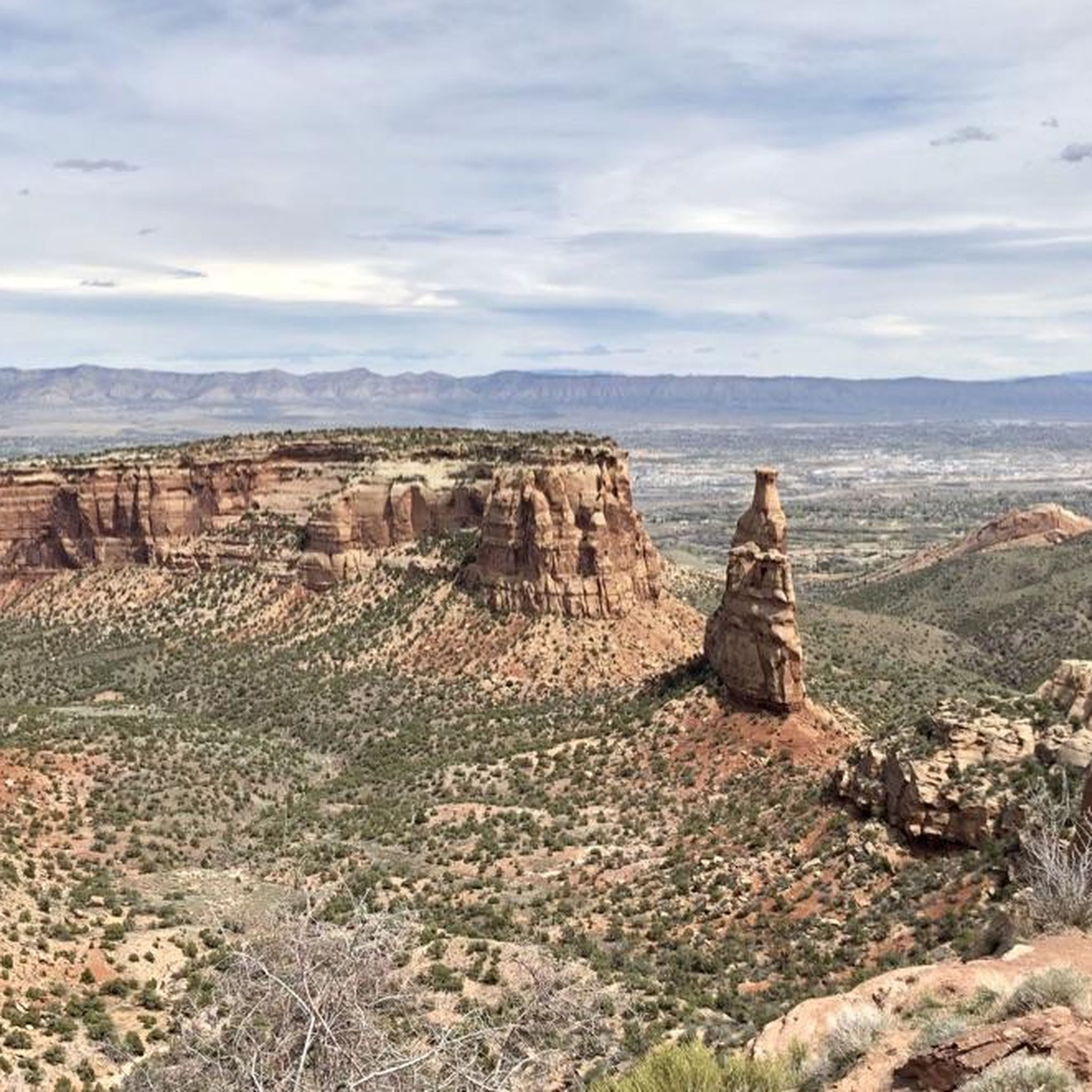
Cycling in the Uncompahgre Plateau
Road Cycling Routes in the Uncompahgre Plateau
Running Trails in the Uncompahgre Plateau

Gravel biking in the Uncompahgre Plateau
Other adventures in the Uncompahgre Plateau


Tips from the Community

A great starting point for exploring the numerous surrounding trails. Ideally, the descent via the Ribbon also ends here. From here, we took an Uber to the Ribbon trailhead to pick up our car. A good solution, as there are no shuttles available in the area, to our knowledge.
2
0
A perfect continuation of Ribbon. Some sections are fun and technical, others offer an "alpine" flow. There are also some challenging uphill sections.
2
0
The upper section of the Ribbon offers mostly easy to moderate difficulty. You surf down massive slabs of rock with magnificent views of the valley below. The crux is the transition from one slab of rock to "a level below," where a short but very steep slickrock section must be negotiated. Overall, an absolutely unforgettable, otherworldly trail!
2
0
Moore Fun is significantly more technical than many other trails/loops in the area.
2
0
Several fantastic mountain bike loops crisscross the area. These are easily accessible from the trailhead.
2
0
A fantastic loop with magnificent views of the Colorado River canyon. The route is mostly flat, often technically easy, though a few sections are a bit more technical. It can be combined with other loops.
2
0
A magnificent loop. Mostly technically easy. Yet always entertaining, set in fantastic scenery with stunning views. Can be easily combined with other trails/loops.
2
0

Super technical and rocky—expect tough climbs and fun, tricky descents. Take it slow, pick good lines, and enjoy awesome canyon views. Bring plenty of water and be ready for a real challenge!
2
0
Frequently Asked Questions
How many mountain bike trails are available in the Uncompahgre Plateau?
The Uncompahgre Plateau offers over 70 mountain bike routes, catering to various skill levels from easy to difficult. The komoot community has explored these trails over 2,200 times.
What kind of terrain can I expect when mountain biking in the Uncompahgre Plateau?
The terrain is incredibly diverse, ranging from sage-covered canyons and striking red rock formations at lower elevations to aspen groves and ponderosa pine forests higher up. You'll encounter relatively flat mesas, interrupted by numerous canyons and gulches, providing varied backdrops for your ride. Some routes feature rocky technical sections and 'rollercoaster switchbacks', while others offer more flowy sections.
Are there any easy mountain bike trails suitable for beginners or families?
Yes, the Uncompahgre Plateau has options for less experienced riders. For example, the Mack Ridge and Lion's Loop is rated as easy, and the Moore Fun Trail also offers an easier experience. The Black Pine Ridge Loop near Grand Junction is also known for its moderate, well-groomed trails ideal for novice and intermediate riders.
What are some challenging mountain bike trails for advanced riders?
Advanced riders will find plenty of challenges. The Horsethief Bench via Mary's Loop & Wrangler is a difficult route with technical sections. Other demanding options include the Raven Ridge and Holy Cross Loop and The Ribbon, Andy's and Gunny Loop, which features significant elevation changes. Portions of the Whole Uncolada are also known for rocky technical sections.
Are there any long-distance or epic mountain biking routes in the Uncompahgre Plateau?
Absolutely. The Uncompahgre Plateau is a gateway to epic rides. The 124-mile Paradox Trail connects Montrose to the La Sal Mountains of Utah, and the 160-mile Rimrocker Trail stretches between Montrose and Moab, Utah, offering demanding dirt roads for exploration. Within the guide, the Mary's Loop – Steve's Loop loop from Fruita is a substantial 47.3 km ride.
What natural features or landmarks can I see while mountain biking in the Uncompahgre Plateau?
The plateau offers stunning natural beauty. You can explore sage-covered canyons, red rock formations, and diverse forests. Notable viewpoints include the Independence Monument Overlook and Coke Ovens Overlook. The Window Rock is another interesting natural monument. The region's varied geology, with its mesas, canyons, and gulches, provides dramatic backdrops for your rides.
What do other mountain bikers enjoy most about the Uncompahgre Plateau?
The Uncompahgre Plateau is highly rated by the komoot community, with an average score of 4.8 stars from over 30 reviews. Mountain bikers often praise the diverse landscapes, the extensive trail systems offering a mix of challenging and scenic routes, and the opportunity to find solitude on less crowded trails.
Are there mountain bike routes that form a loop?
Yes, many routes in the Uncompahgre Plateau are designed as loops, offering a continuous riding experience without retracing your path. Examples include Mary's Loop and Steve's Loop, Butterknife Loop, and Tabeguache and Eagle's Wing Loop.
What is the best time of year to go mountain biking in the Uncompahgre Plateau?
The varied elevations of the Uncompahgre Plateau mean that riding conditions can differ seasonally. Lower elevations are generally accessible earlier and later in the year, while higher elevations with aspen and conifer forests are ideal during warmer months. It's always best to check local conditions before heading out, especially regarding snowmelt or potential wet trails at higher altitudes.
Is it possible to find less crowded trails for a more solitary mountain biking experience?
Yes, the Uncompahgre Plateau is often described as a lesser-known, 'unbeaten path' destination. This means mountain bikers can frequently find solitude and uncrowded trails, particularly on routes within the Uncompahgre National Forest like the Buck Trail.
How accessible are the trailheads, and is parking available?
Many trails on the Uncompahgre Plateau are accessible via gravel roads such as Highway 90, Dave Wood Road, Divide Road, Delta-Nucla Road, and Transfer Road. These roads are generally traversable by regular passenger vehicles. Specific parking information for individual trailheads can often be found on detailed route descriptions.
Are there any specific permits required for mountain biking on the Uncompahgre Plateau?
Most of the Uncompahgre Plateau is public land, including portions of the Uncompahgre National Forest and other wilderness areas. Generally, permits are not required for mountain biking on designated trails within these areas. However, it's always advisable to check with the specific land management agency (e.g., US Forest Service) for any particular trail or area you plan to visit, especially for wilderness study areas.
Most popular routes in the Uncompahgre Plateau
Most popular attractions in the Uncompahgre Plateau

Get inspired with the komoot mobile app


Explore more
Browse the best MTB trails in other regions.
