The best road cycling routes around Hintertux
4.9
(14)
451
riders
4
rides
Road cycling around Hintertux is characterized by its dramatic alpine landscapes and significant elevation changes within Austria's Zillertal Valley. The region features challenging climbs and scenic valley rides, set against a backdrop of glaciers, waterfalls, and expansive alpine meadows. Cyclists navigate roads that traverse through diverse terrain, from lower-altitude green pastures to higher mountain views.
Best road cycling routes around Hintertux
- The most popular road cycling route is Mayrhofen – Hintertux Glacier Base Station loop from Zell am Ziller, a 34.8 miles (56.1 km) difficult trail that takes 2 hours 58 minutes to complete. This route features over 1000 meters of elevation gain, offering a substantial alpine challenge.
- Another top favourite among local road cyclists is Hintertux Glacier Base Station – Water trough on the Tuxbach loop from Schutzzone Rothirsch, a moderate 21.2 miles (34.1 km) path. This route includes views of the Tuxbach river and surrounding mountain scenery.
- Local road cyclists also love the Water trough on the Tuxbach – View of Madseit loop from Tux, an 8.9 miles (14.3 km) trail leading through the Zillertal Valley, often completed in about 43 minutes.
- Road cycling around Hintertux is defined by alpine meadows, glacial landscapes, and mountain views. The network offers options for different ability levels, from challenging climbs to easier valley rides.
- The routes in Hintertux are highly rated by the komoot community with an average score of 4.9 stars from more than 20 reviews. More than 800 road cyclists have used komoot to explore Hintertux's varied terrain.
Last updated: July 6, 2026
4.7
(7)
223
riders
56.1km
02:57
1,020m
1,020m
Hard road ride. Very good fitness required. Mostly well-paved surfaces and easy to ride.
5.0
(1)
129
riders
Moderate road ride. Good fitness required. Mostly well-paved surfaces and easy to ride.

Sign up for free
5.0
(3)
70
riders
31.2km
01:39
580m
580m
Moderate road ride. Good fitness required. Mostly well-paved surfaces and easy to ride.
5.0
(3)
29
riders
14.3km
00:44
240m
240m
Easy road ride. Great for any fitness level. Mostly well-paved surfaces and easy to ride.
Our route recommendations are based on thousands of hikes, rides, and runs completed by other people on komoot.
Start today with a free account
Your next adventure awaits.
Login or Signup
Popular around Hintertux

Via Venezia Alpina – hiking across the Alps to the Adriatic Sea
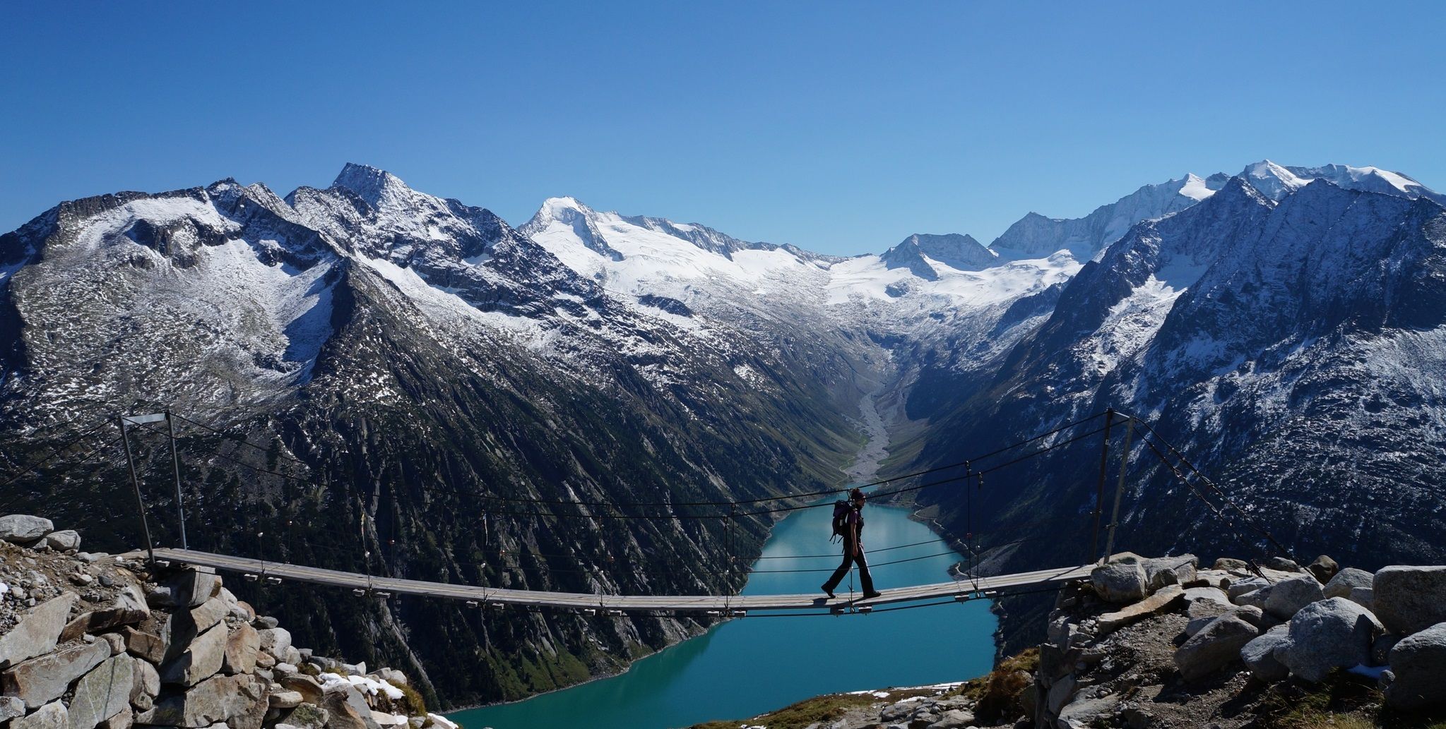
The Peter Habeler loop — an alpine trail around the Olperer

The "Dream Path" hiking trail – From Munich to Venice in 28 stages
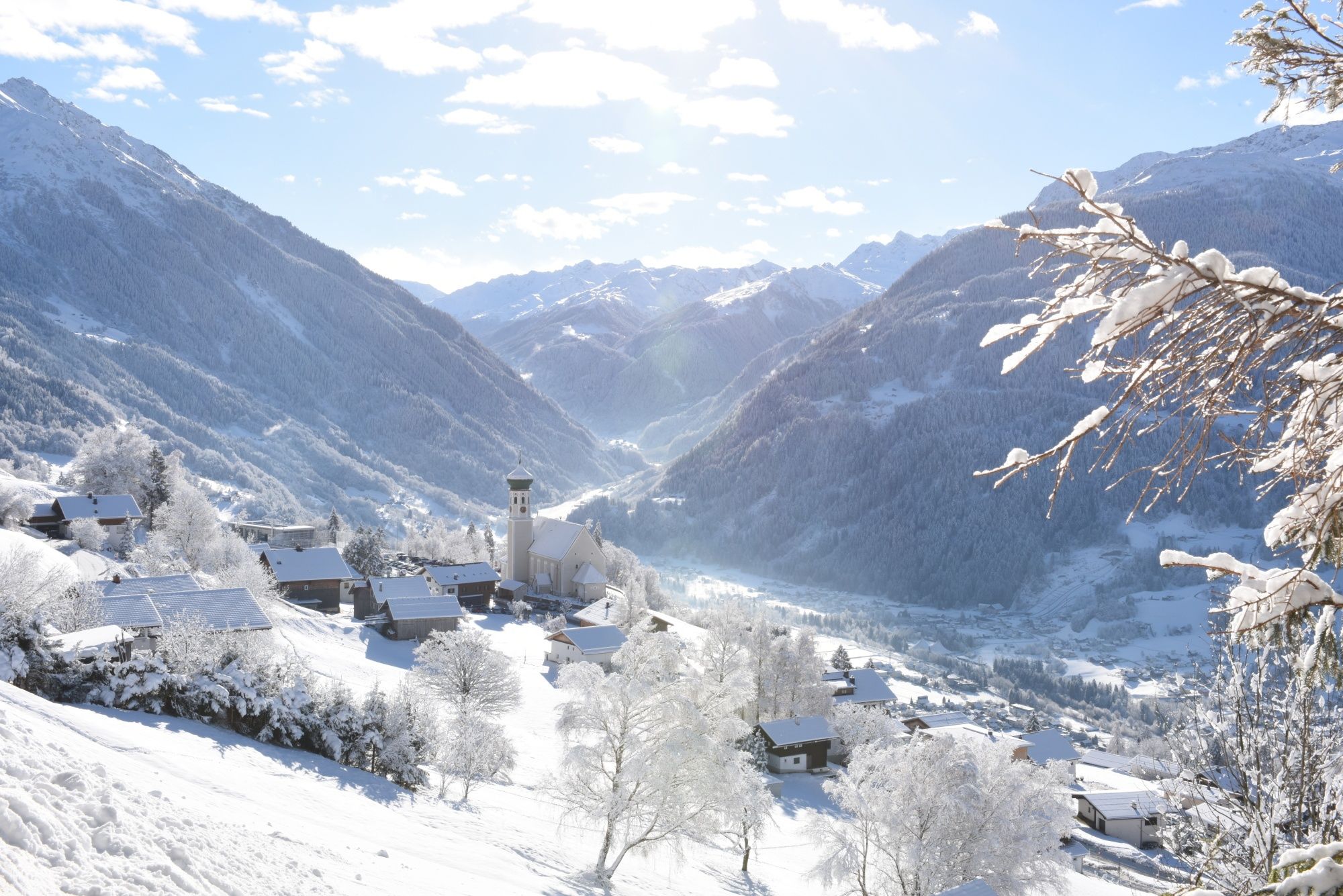
Tobogganing, ice bathing and hiking – winter away from the slopes
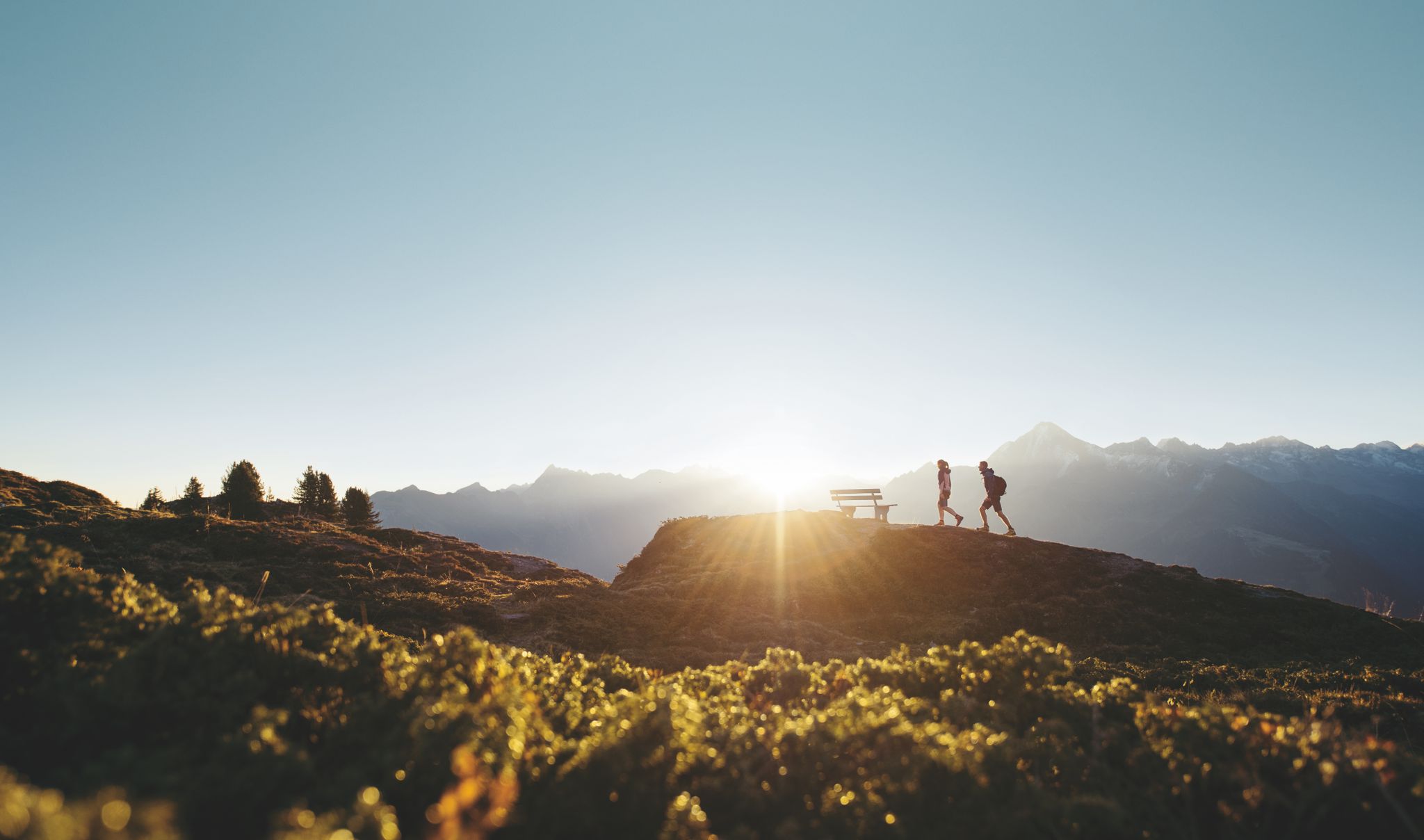
Discover the Zillertal Valley in Austria on eight varied walks

An alpine adventure – from east to west through Austria

The most beautiful waterfalls of the Alps
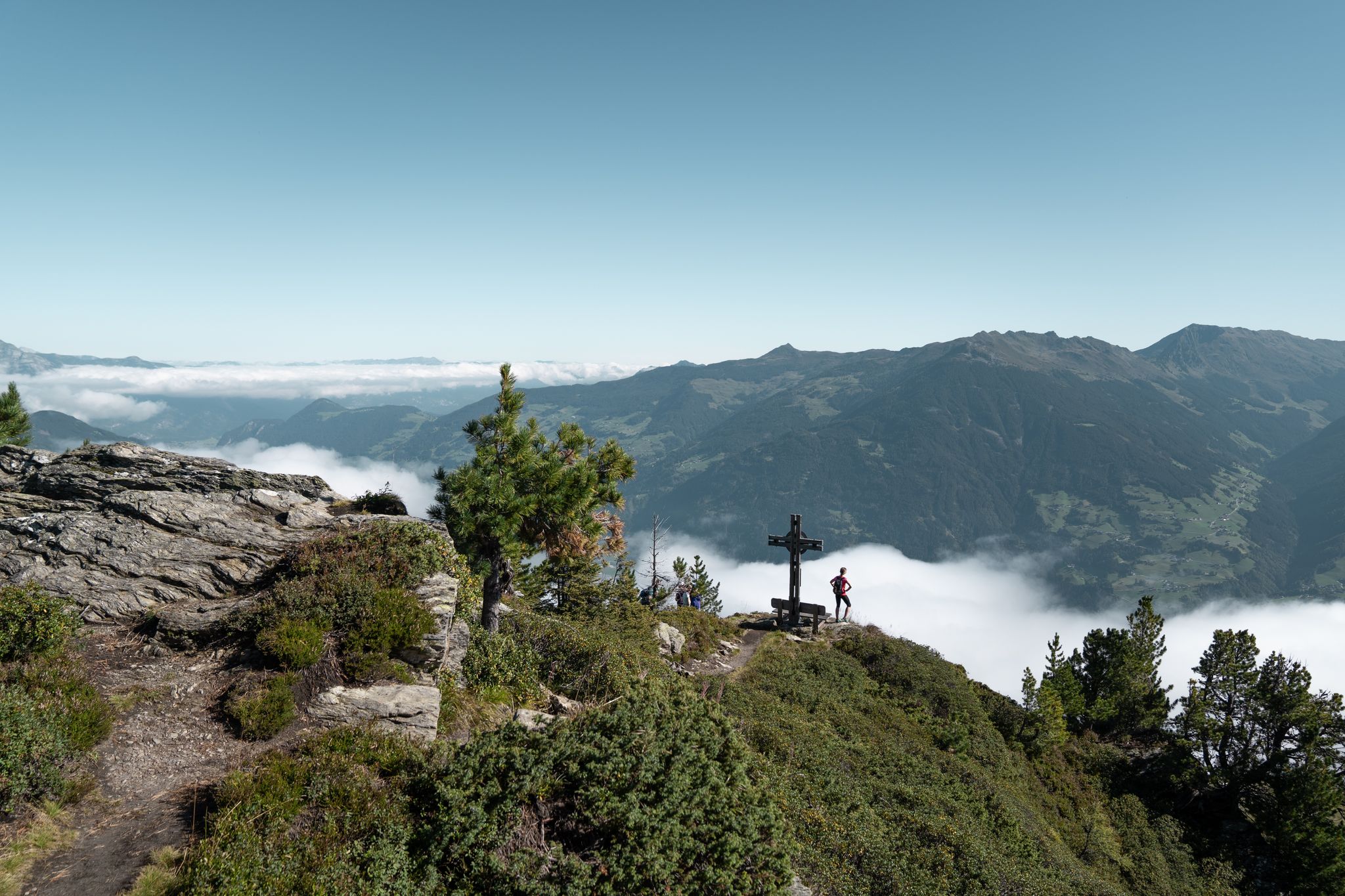
Aussichtsreiche Gipfelwandertouren im Zillertal
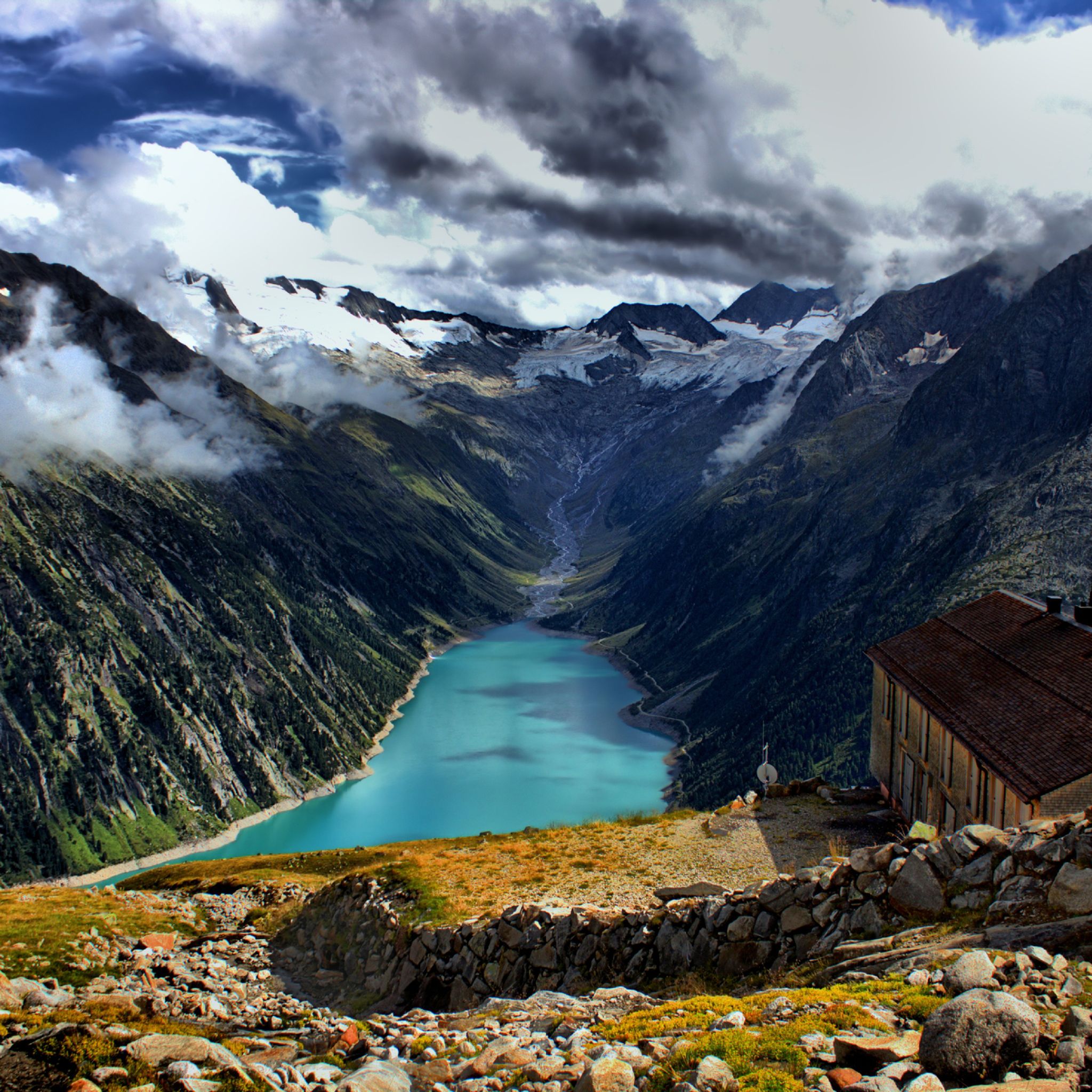
Hiking around Hintertux
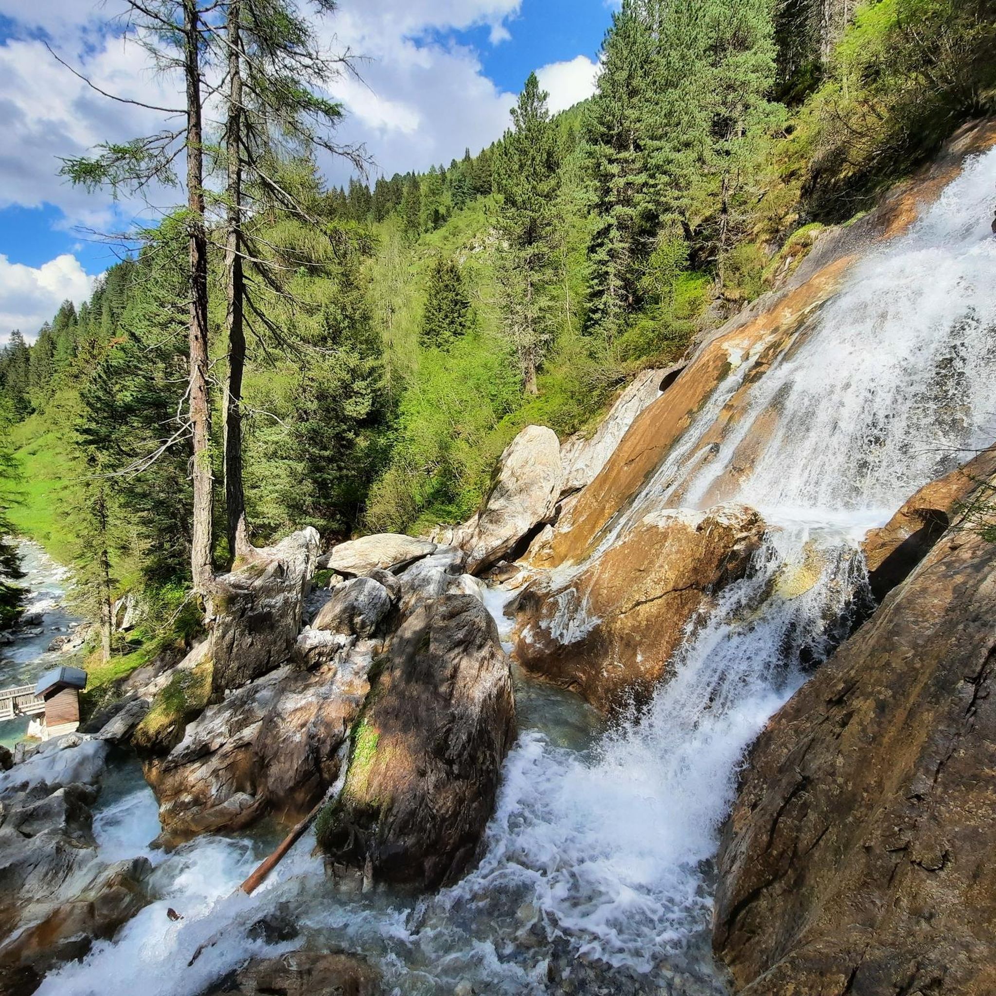
Cycling around Hintertux
Other adventures around Hintertux


Tips from the Community


Hiking every day, whatever the weather – because we love it: "Not just seeing the mountains, but feeling them – that's our goal," says Iris, one of our five hiking guides. Two to three tours of varying difficulty levels through the Zillertal Alps are offered daily. Afterwards, you can relax in the infinity pool with panoramic views of the peaks you've just climbed. More information at: https://www.tuxertal.at/.
0
0

A beautiful, nearly 17-kilometer climb from Mayrhofen to Hintertux. The first few kilometers are especially tough to persevere in! This is not only the steepest section, but also the part where you'll be sharing with a few cars. From Tux onward, things get better!
0
0

The view of a typical mountain village. Just beautiful!
0
0

The parish church of Mayrhofen-Zillertal is located right in the center of the city and is definitely worth a visit
15
0

The parish church in Mayrhofen is definitely worth a visit. The church is beautifully decorated and there are remarkable works of art such as the "Rose of Jericho" and the "Coronation of Mary" to admire. The magnificent organ also contributes to a fantastic overall impression. When you enter the church, you feel an inner peace and a spiritual warmth that flows through your body. After visiting church you feel spiritually liberated and filled with positive energy.
91
3


Frequently Asked Questions
How many road cycling routes are available in Hintertux?
Hintertux offers a selection of road cycling routes, with komoot featuring 5 distinct tours. These routes cater to various skill levels, including easy, moderate, and difficult options, allowing cyclists to explore the dramatic alpine landscapes of the Zillertal Valley.
What kind of terrain can I expect when road cycling around Hintertux?
Road cycling in Hintertux is characterized by significant elevation changes and breathtaking alpine scenery. You'll encounter challenging climbs, such as the ascent from Mayrhofen to Hintertux, and scenic valley rides. The terrain transitions from lush alpine meadows at lower altitudes to views of glacial landscapes higher up, with routes often following crystal-clear mountain streams like the Tuxbach river.
Are there challenging climbs for experienced road cyclists in Hintertux?
Yes, Hintertux is known for its demanding climbs. A notable challenge is the approximately 17-kilometer ascent from Mayrhofen to Hintertux, featuring an average gradient of 5.1% and over 857 meters of vertical gain. Another difficult option is the Mayrhofen – Hintertux Glacier Base Station loop from Zell am Ziller, which includes over 1000 meters of elevation gain over 56.1 km.
Are there easier road cycling options for beginners or families in Hintertux?
While Hintertux is known for its challenging climbs, the broader Zillertal region, which encompasses Hintertux, offers over 1,300 kilometers of bike routes, including easier, well-paved surfaces. For a less strenuous option directly in the area, consider the Water trough on the Tuxbach – View of Madseit loop from Tux, an 8.9-mile (14.3 km) trail through the valley.
What natural attractions can I see along the road cycling routes in Hintertux?
The region is rich in natural beauty. You can often see the majestic Hintertux Glacier from various points. The area also features numerous waterfalls fed by glacial discharge, such as the Hintertux Waterfall near the valley station, and others like Kesselfall and Schraubenfall. You'll also cycle through expansive alpine meadows and lush larch forests.
Are there any scenic viewpoints or landmarks to look out for?
Absolutely. The Zillertal Alps offer spectacular panoramic views from various points along the routes. The Zillertal High Alpine Road is particularly renowned for its scenic outlooks. You might also spot traditional alpine huts like Bichlalm Hintertux, which offer picturesque stops.
What is the best time of year for road cycling in Hintertux?
The road cycling season in Hintertux typically runs from late spring through early autumn. During these months, the weather is generally more favorable, and mountain passes are clear of snow, allowing access to the full range of routes. Summer offers lush green landscapes, while autumn provides stunning fall colors.
How can I get to the starting points of road cycling routes in Hintertux, especially regarding parking or public transport?
Hintertux is located at the end of the Zillertal Valley, which is well-connected. Many routes start from towns like Mayrhofen or directly in Hintertux. Parking facilities are generally available in these areas. The Zillertal region also has a good public transport network, including buses, which can often accommodate bikes, making it easier to reach various starting points or return from longer tours.
Are there places to stop for refreshments along the routes?
Yes, numerous traditional alpine huts and guesthouses are dotted along the routes and in the surrounding villages. These provide excellent opportunities for refreshments and rest amidst the stunning scenery. For example, you might find places near the Tuxer Fernerhaus or other mountain huts like Bichlalm Hintertux.
What do other cyclists say about road cycling in Hintertux?
The road cycling routes around Hintertux are highly rated by the komoot community, with an average score of 4.9 stars from more than 20 reviews. Over 800 road cyclists have used komoot to explore the varied terrain, often praising the dramatic alpine landscapes, challenging climbs, and the stunning views of the glacier and surrounding peaks.
Are there any circular road cycling routes in the area?
Yes, many of the routes around Hintertux are designed as loops, allowing you to start and end in the same location. For example, the Hintertux Glacier Base Station – Water trough on the Tuxbach loop from Schutzzone Rothirsch is a moderate 34.1 km circular path that offers views of the Tuxbach river and mountain scenery.
What are the typical elevation changes on road cycling routes in Hintertux?
Road cycling in Hintertux is characterized by significant elevation changes. Even moderate routes like the Hintertux Glacier Base Station – Water trough on the Tuxbach loop from Schutzzone Rothirsch can involve nearly 800 meters of ascent. More challenging routes, such as the Mayrhofen – Hintertux Glacier Base Station loop from Zell am Ziller, feature over 1000 meters of elevation gain, demanding good fitness from cyclists.
Can I combine road cycling with other activities in Hintertux?
Absolutely. Hintertux is an outdoor enthusiast's paradise. After a ride, you could explore the unique Nature's Ice Palace beneath the Hintertux Glacier, or venture into the Spannagel Cave, Europe's largest natural marble cave. The region also offers numerous hiking opportunities to various mountain peaks and huts.
Most popular attractions around Hintertux

Get inspired with the komoot mobile app


Explore more
Browse the best Road cycling routes in other regions.
