The best walks and hikes around Sant'Omero
4.5
(196)
2,364
hikers
124
hikes
Hiking around Sant'Omero offers diverse landscapes, situated between hills and the sea in Italy's Abruzzo region. The terrain features a blend of hills, forests, and green expanses, providing varied settings for walks. The area provides access to charming valleys and views that extend from the mountains to the coast. Sant'Omero serves as a base for exploring trails suitable for different fitness levels, with proximity to the Apennine peaks and national parks.
Best hiking trails around Sant'Omero
- The most popular hiking…
Last updated: August 18, 2026
3.0
(1)
8
hikers
Moderate hike. Good fitness required. Easily-accessible paths. Suitable for all skill levels.
4.0
(2)
7
hikers
4.72km
01:21
110m
120m
Easy hike. Great for any fitness level. Easily-accessible paths. Suitable for all skill levels.

Sign up for free
7
hikers
Moderate hike. Good fitness required. Easily-accessible paths. Suitable for all skill levels.
5.0
(2)
9
hikers
6.90km
01:50
70m
70m
Easy hike. Great for any fitness level. Easily-accessible paths. Suitable for all skill levels.
1
hikers
9.24km
02:30
130m
130m
Moderate hike. Good fitness required. Easily-accessible paths. Suitable for all skill levels.
Get access to more routes and recommendations from other explorers.
Sign up for free
Already have an account?
Our route recommendations are based on thousands of hikes, rides, and runs completed by other people on komoot.
Start today with a free account
Your next adventure awaits.
Login or Signup

Tips from the Community


Coincidentally, the World Skate Games were taking place that day. The downhill discipline was held in Tortoreto. People went down the mountain on inline skates and luges.
0
0
Old walls, narrow streets and an excellent view. A charming destination.
0
0

The medieval village of Tortoreto is located 227 meters above sea level. The village is very beautiful and well preserved consisting of narrow streets, arches and towers. The clock tower and the Misericordia church are clearly visible. Don't miss the Palio del Barone in July, a historical re-enactment between the two districts of Tortoreto: Terravecchia (whose symbol is the dove) and Terranova (with the crow as its emblem).
0
0

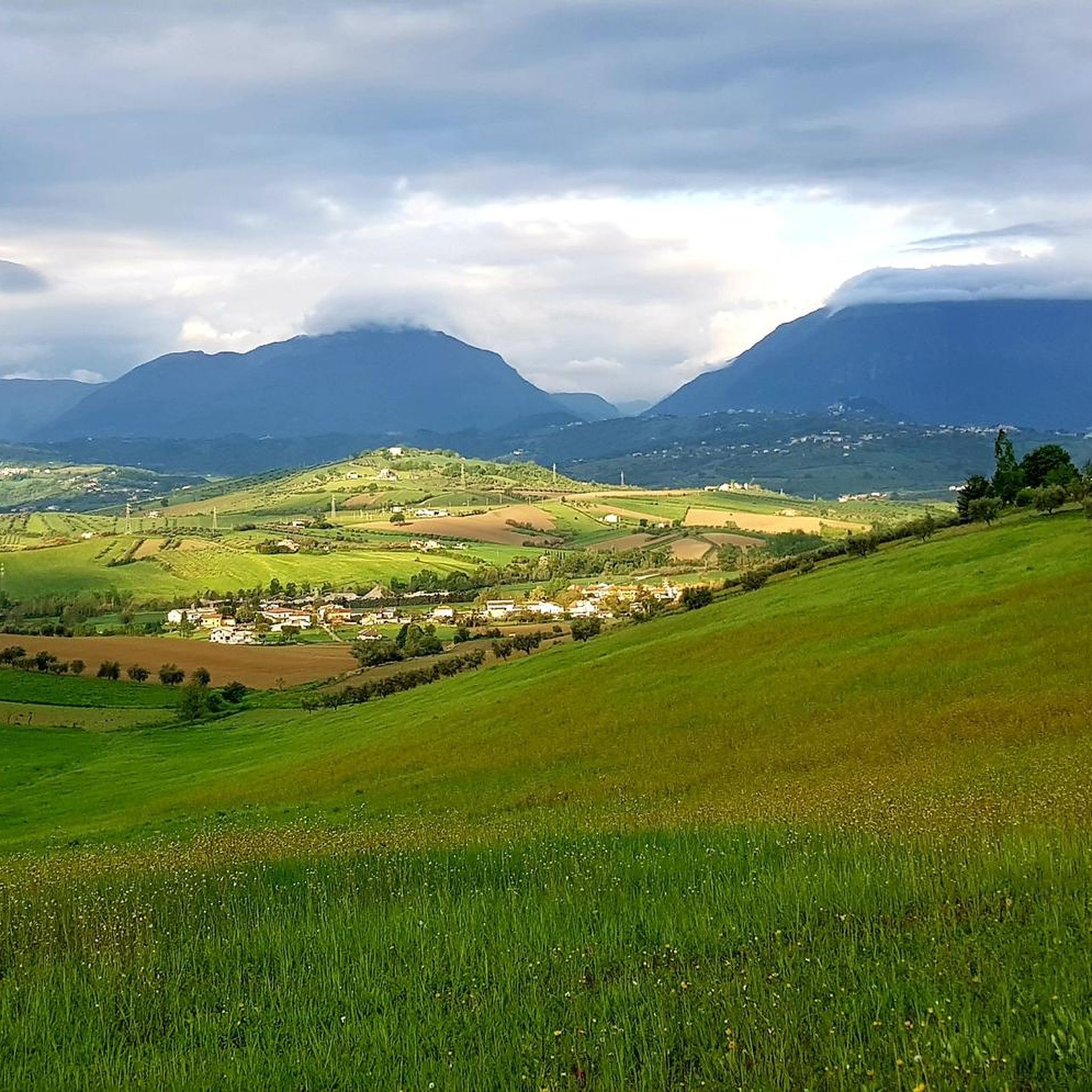
The ancient village offers a breathtaking view of the sea, the Teramo hills and the Gran Sasso mountains.
0
0

panoramic view from tortoreto
0
0

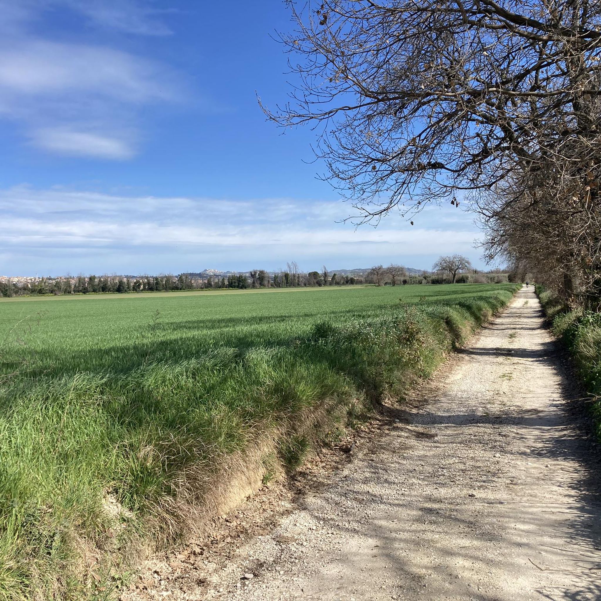
Entrance (upstream) of the cycle/pedestrian path of the Badia a Corropoli, near the historic center of the city.
0
0
Frequently Asked Questions
How many hiking trails are available around Sant'Omero?
There are nearly 100 hiking trails around Sant'Omero, offering a wide range of options for different fitness levels. You'll find a balanced mix of easy and moderate routes, with a few more challenging options for experienced hikers.
What kind of terrain can I expect on hikes near Sant'Omero?
The terrain around Sant'Omero is characterized by rolling hills, dense forests, and green valleys. You can expect picturesque settings with views extending towards the sea and the nearby Apennine mountains. The region's diverse landscape offers a blend of natural and geological features.
Are there any easy hiking trails suitable for beginners or casual walkers?
Yes, Sant'Omero offers many easy trails. For a pleasant stroll through woodlands, consider the Forest Path loop from San Giuseppe, which is about 4.7 km long and takes around 1 hour 20 minutes to complete.
Can I find circular hiking routes in the Sant'Omero area?
Many of the trails around Sant'Omero are circular, allowing you to start and end at the same point. An example is the Tortoreto Clock Tower – Tortoreto Historic Town Center loop from Tortoreto, a moderate 10.6 km route.
What are some interesting landmarks or historical sites to see while hiking?
The area around Sant'Omero is rich in history. You can explore highlights like the impressive Civitella del Tronto Historic Town and Fortress or the charming Tortoreto Alta Historic Center. The Tortoreto Historic Town Center – Tortoreto Clock Tower loop is a great way to combine hiking with exploring local history.
Are there any longer or more challenging hikes for experienced trekkers?
For those seeking a more challenging experience, the Fountain of the Siren – Tortoreto Historic Town Center loop from Tortoreto is a difficult 27.1 km path that features varied terrain and takes over 7 hours to complete. The broader Abruzzo region also offers access to the high peaks of the Apennines for alpine experiences.
What do other hikers say about the trails in Sant'Omero?
The hiking routes in Sant'Omero are highly rated by the komoot community, with an average score of 4.3 stars from nearly 200 reviews. Hikers often praise the diverse landscapes, from rolling hills to dense forests, and the scenic views that stretch from the mountains to the sea.
Is Sant'Omero a good base for exploring the wider Abruzzo region?
Yes, Sant'Omero is conveniently located within the naturally rich Abruzzo region. It provides easy access to some of Italy's most spectacular mountain ranges and national parks, such as Gran Sasso and Monti della Laga National Park, for those looking to venture further afield. You can learn more about the region's landscapes on Italia.it.
Are there any routes that offer views of the sea?
Many trails around Sant'Omero offer views that extend towards the coast, given its location between hills and the sea. While specific routes are not solely coastal, you can often catch glimpses of the Adriatic Sea from higher elevations or during certain sections of the trails.
Are there any attractions suitable for families or children near the hiking trails?
Families might enjoy exploring the historic centers of nearby towns like Tortoreto Alta, which offers a glimpse into local heritage. The Ciclovia Adriatica – Tortoreto Promenade, while primarily a cycle path, also offers a flat, accessible area for walks near the sea.
What is the best time of year to go hiking in Sant'Omero?
Sant'Omero benefits from a pleasant climate due to its location between the hills and the sea. Spring and autumn generally offer the most comfortable temperatures for hiking, with lush greenery in spring and vibrant colors in autumn. Summer can be warm, but early mornings or late afternoons are still suitable for walks.
Are there any trails that pass through vineyards or offer local culinary experiences?
The area around Sant'Omero is known for its agricultural landscape, including vineyards. The highlight Controguerra — Village and Vineyards suggests that some routes may pass through or near these scenic areas, offering a chance to experience the local produce and charm.
Most popular routes around Sant'Omero
Most popular attractions around Sant'Omero

Get inspired with the komoot mobile app


Explore more
Browse the best Hikes in other regions.
