The best mountain hikes around Fondo
4.7
(74)
674
hikers
41
hikes
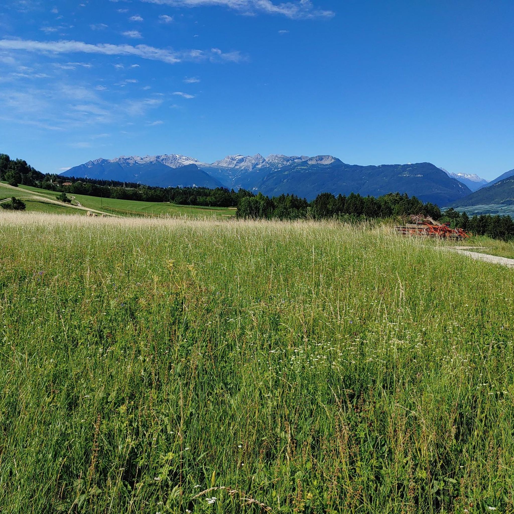
Mountaineering routes Fondo traverse a diverse landscape characterized by dramatic canyons, serene mountain lakes, and extensive spruce forests. The region is framed by majestic peaks, some rising over 2000 meters, including Monte Lucco, Macaion, and the Maddalene mountains. These features provide varied terrain for mountaineering, from challenging ascents to routes exploring alpine pastures. The Val di Non, where Fondo is located, is known for its deep gorges and high-altitude environments.
Best mountaineering routes around Fondo
- The most popular mountaineering route…
Last updated: October 8, 2026
3.0
(2)
15
hikers
Hard mountaineering route. Very good fitness required. Mostly accessible paths. Sure-footedness required.
5.0
(2)
13
hikers
10.2km
05:26
1,030m
1,030m
Hard mountaineering route. Very good fitness required. Sure-footedness, sturdy shoes and alpine experience required.

4.0
(1)
7
hikers
12.0km
06:35
1,100m
1,090m
Hard mountaineering route. Very good fitness required. Sure-footedness, sturdy shoes and alpine experience required.
4.5
(2)
4
hikers
Moderate mountaineering route. Good fitness required. Mostly accessible paths. Sure-footedness required.
6
hikers
Hard mountaineering route. Good fitness required. Sure-footedness, sturdy shoes and alpine experience required.
Get access to more routes and recommendations from other explorers.
Already have an account?
Our route recommendations are based on thousands of hikes, rides, and runs completed by other people on komoot.
Start today with a free account
Your next adventure awaits.
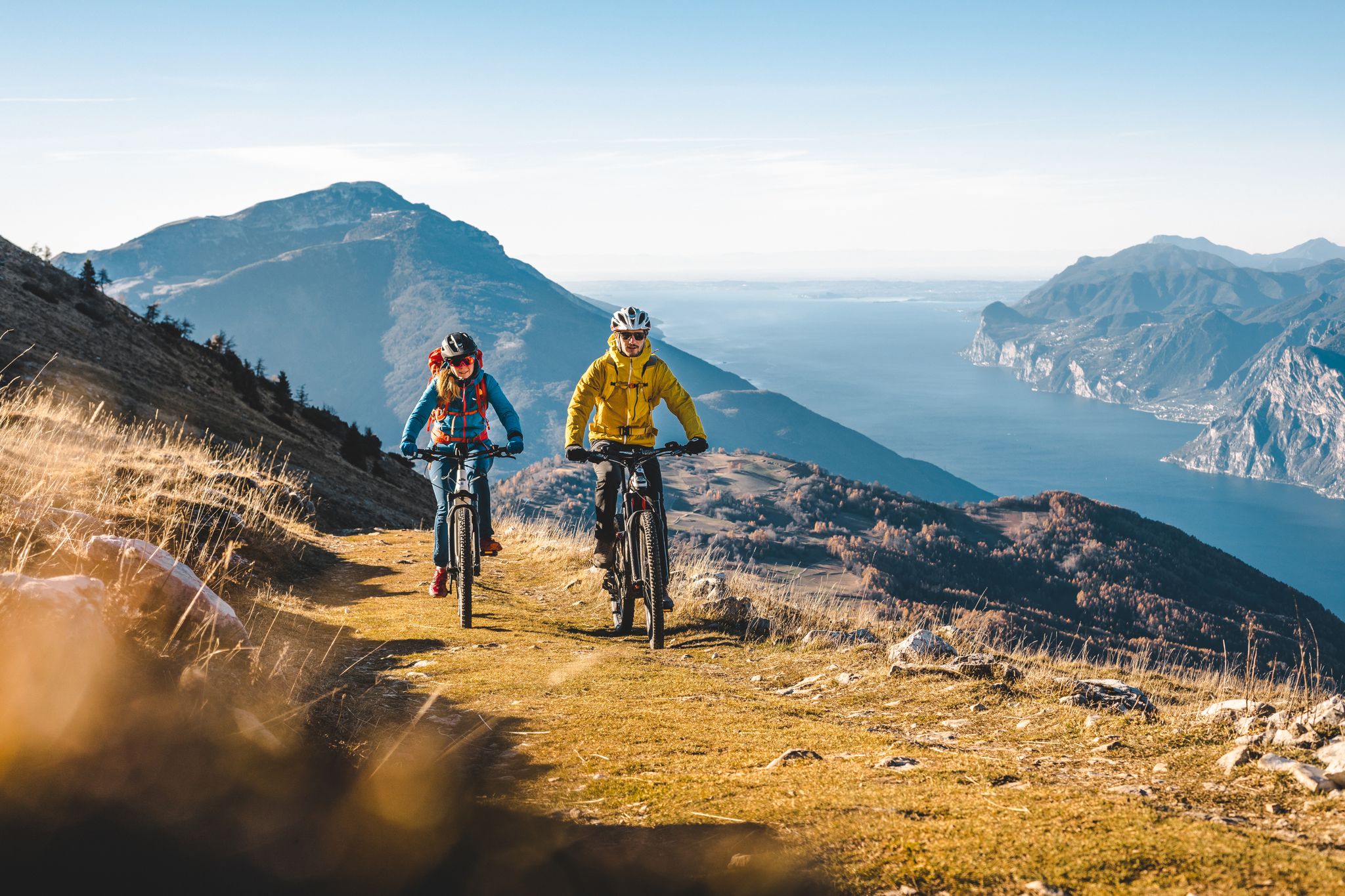
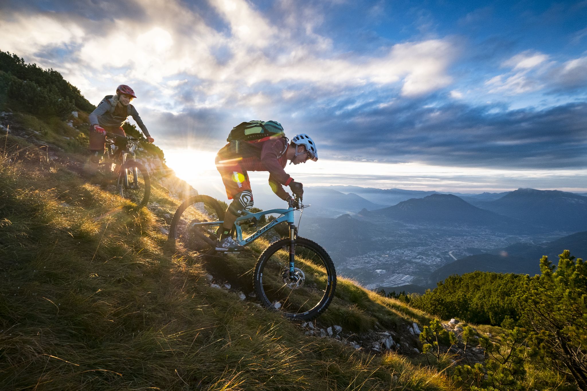
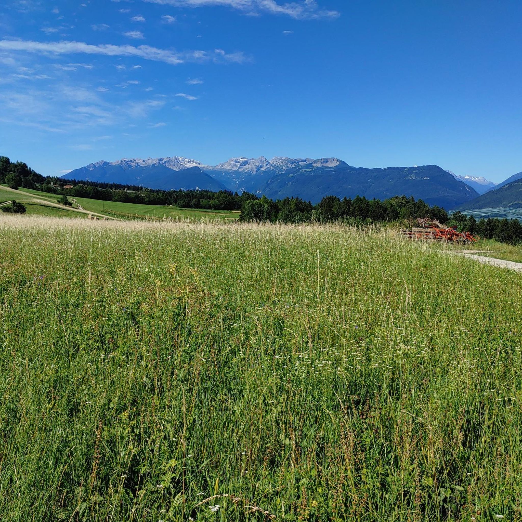
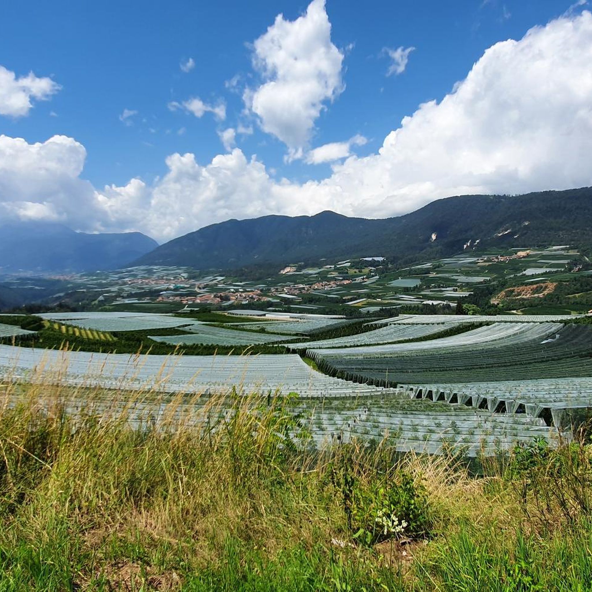


Tips from the Community

The Laugenspitze (Italian: Monte Luco) at 2,434 meters is the highest mountain in the Nonsberg Group in South Tyrol. The striking porphyry double peak consists of the Große Laugen (2,434 m) and the Kleine Laugen (2,297 m), which are separated by the picturesque Laugensee (2,182 m). Due to its freestanding location, it offers an excellent viewing platform over the Etschtal valley, the Meraner Land region, the Vinschgau valley, and as far as the Dolomites.
0
0


The Moarhof above Eppan is an absolute insider tip. At the end of the road, you'll find a farm with a snack bar that's second to none. Located at the foot of the Gantkofel mountain, amidst meadows and fields, you'll find the best Schlutzer (sausages) in South Tyrol! The sensational taste of wild herbs and spinach in handmade dumplings with brown butter and Parmesan cheese is beyond words! We met locals from Bolzano there who were there for the first time.
0
0

Beautiful view over the Bolzano valley floor
0
0

The Nals Margreid Winery was formed in 1985 through the merger of the Nals and Margreid wineries. With a total of 160 hectares of vineyards, cultivated by 138 winegrowing families, the vineyards extend across 14 sites between Nals in the Etschtal Valley and Margreid in southern South Tyrol. This site utilizes the diverse potential of the region, where the grapes thrive in different terroirs, each with its own soil composition, microclimate, and sunlight exposure. The region benefits from the protective Alpine climate in the north and Mediterranean influences in the south, giving the grapes unique characteristics. The range includes Pinot Blanc, Sauvignon Blanc, Chardonnay, Pinot Grigio, Merlot, Cabernet Sauvignon, and Pinot Noir. The commitment to quality is also reflected in the winery's architecture, which represents a successful synthesis of a historic manor house and modern architecture. The winery's wines can be tasted at the "1764" wine bar. Of particular note is the Sirmian, which has been named Italy's best white wine. Opening hours: Monday to Friday from 9 a.m. to 12 p.m. and 2 p.m. to 6 p.m. Guided tours: Upon request, call +39 471 678 626 or email info@nalsmargreid.com More information can be found at https://www.altoadigewines.com/en/winegrowers/nals-margreid/86-197467.html.
0
0

Gantkofel in German, Mount Macaion is located on the Mendola coast and stands at an altitude of 1,866 meters. From the top you can enjoy a great view of the surrounding valleys and peaks, in addition to being present a commemorative stone and a high cross.
1
1
Frequently Asked Questions
How many mountaineering routes are available around Fondo?
There are over 40 mountaineering routes around Fondo, offering a diverse range of experiences. You'll find 14 moderate routes and 30 more challenging, difficult routes to explore.
What kind of terrain can I expect on mountaineering routes in Fondo?
Mountaineering routes in Fondo traverse a varied landscape. You can expect dramatic canyons, serene mountain lakes like Lake Smeraldo and Lago Tret, and extensive spruce forests. The region is framed by majestic peaks, some rising over 2000 meters, including Monte Lucco, Macaion, and the Maddalene mountains. The Val di Non is also known for its deep gorges and high-altitude environments.
Are there any circular mountaineering routes around Fondo?
Yes, many routes are designed as loops. For example, the Macaion Summit (Gantkofel) – View of Bolzano loop is a difficult 9.1-mile trail offering panoramic views. Another option is the Laugenalm and Laugenspitze – Laugenalm loop, a challenging 6.3-mile path through alpine pastures.
What natural landmarks can I see while mountaineering around Fondo?
The region is rich in natural beauty. You might encounter the unique geological formations of the Rio Sass canyon, the picturesque Lake Smeraldo, or the tranquil Lago Tret. The Mendel Pass (Passo della Mendola) offers stunning views, and you can find viewpoints like the View of Lake Kaltern and the Dolomites from Penegal.
Are there any routes that feature waterfalls?
Yes, the region has notable waterfalls. The Perdonig Waterfall loop from Nals - Nalles is a difficult route that includes a waterfall. Additionally, the Rio Sass canyon features waterfalls within its unique formations, and the Cascata di Tret is another significant natural feature in the area.
What is the best time of year for mountaineering in Fondo?
The best time for mountaineering in Fondo is generally from late spring to early autumn (May to October), when the weather is most stable and trails are clear of snow. During these months, you can fully enjoy the alpine pastures, forests, and high-altitude views.
Are there any huts or refuges along the mountaineering routes in Fondo?
Yes, there are several huts and refuges in the area that can serve as rest stops or overnight accommodation. Notable options include the Gschnoferstall Alpine Hut, Rifugio Mezzavia (Halfway Hut), and Laugenalm. These are great places to experience local hospitality.
Are there family-friendly mountaineering options in Fondo?
While many routes are challenging, there are 14 moderate routes that might be suitable for families with some hiking experience. For example, the Felixer Alm / Malga San Felice – Felixer Weiher / Lago di Tret loop is a moderate 5.5-mile route that explores scenic areas around Lago di Tret.
Can I bring my dog on mountaineering trails in Fondo?
Many trails in the Val di Non region are dog-friendly, but it's always advisable to check specific route regulations or local signage. Keep your dog on a leash, especially in protected areas, near livestock, or on busy trails, and ensure they are well-behaved and can handle the terrain.
Where can I find panoramic viewpoints during my mountaineering trips?
The region offers numerous viewpoints. The Macaion Summit (Gantkofel) provides panoramic views of Bolzano. Other excellent spots include the View of Lake Kaltern and the Dolomites from Penegal and the View of Merano and Bolzano loop from Perdonig - Predonico, which offers expansive vistas.
What do other mountaineers enjoy most about mountaineering in Fondo?
The area is highly rated by the komoot community, with an average score of 4.7 stars from over 100 reviews. Mountaineers often praise the diverse terrain, from challenging ascents to routes exploring alpine pastures, and the stunning panoramic views of the Dolomites and surrounding valleys.
Most popular attractions around Fondo

Get inspired with the komoot mobile app


Explore more
Browse the best Mountain Hikes & Routes in other regions.
