The best MTB trails around Bresso
4.2
(2430)
9,606
riders
265
rides
Mountain biking around Bresso provides access to extensive green spaces and well-maintained cycling routes, primarily within Parco Nord Milano. This metropolitan park features diverse landscapes, including wooded areas, open meadows, and the Villoresi Canal. The terrain is generally flat with minor elevation changes, making it accessible for various skill levels. The nearby Martesana Canal Cycle Path also offers a mostly flat route with sections of dirt roads suitable for mountain biking.
Best mountain bike trails in Bresso
- The most popular…
Last updated: October 2, 2026
5.0
(2)
58
riders
Hard mountain bike ride. Very good fitness required. Advanced riding skills necessary. Some portions of the route may require you to push your bike.
3.9
(70)
162
riders
Easy mountain bike ride. Great for any fitness level. Suitable for all skill levels.

4.2
(52)
142
riders
Moderate mountain bike ride. Good fitness required. Suitable for all skill levels.
4.7
(19)
43
riders
Easy mountain bike ride. Great for any fitness level. Suitable for all skill levels.
3.7
(10)
41
riders
Moderate mountain bike ride. Good fitness required. Suitable for all skill levels.
Get access to more routes and recommendations from other explorers.
Already have an account?
Our route recommendations are based on thousands of hikes, rides, and runs completed by other people on komoot.
Start today with a free account
Your next adventure awaits.

Tips from the Community

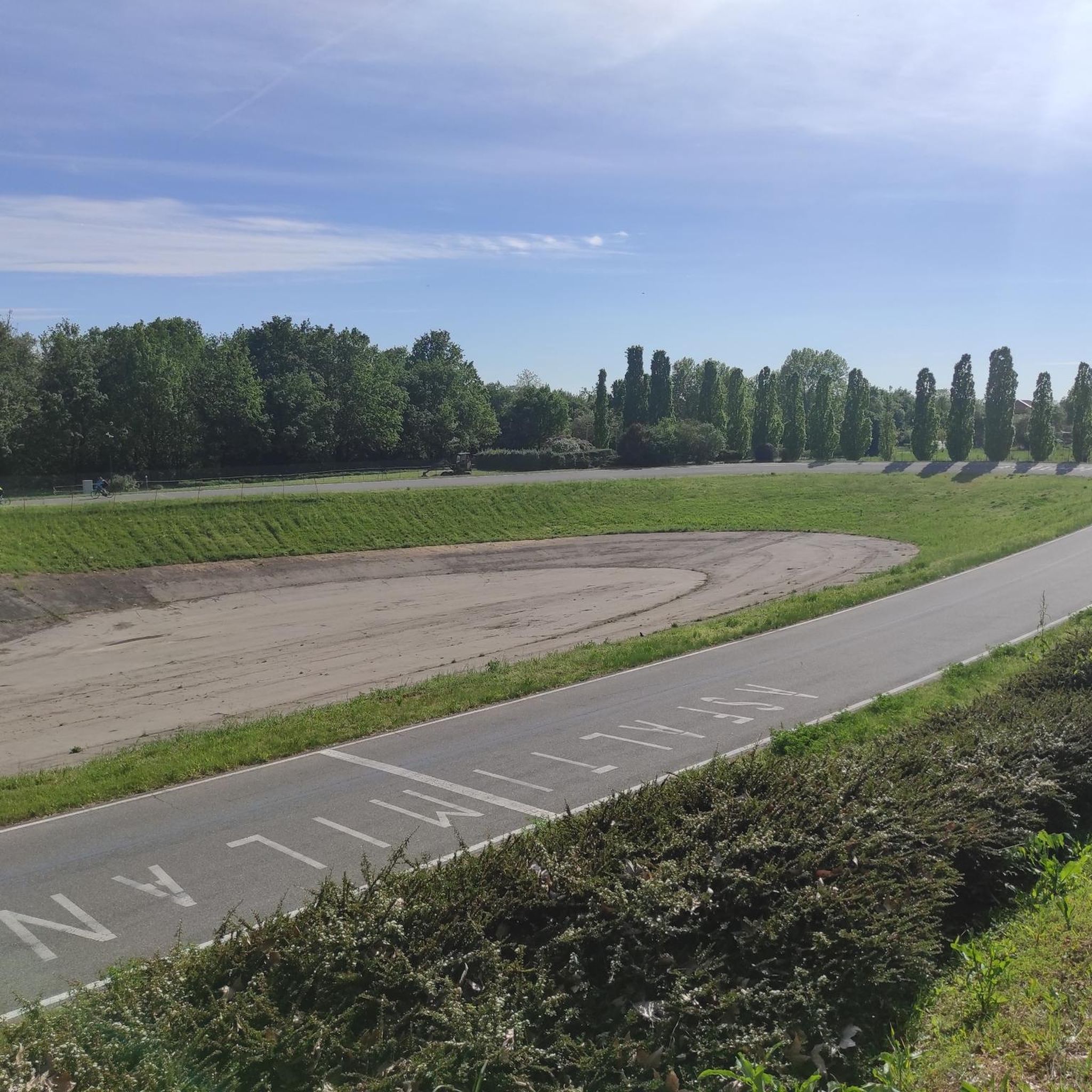
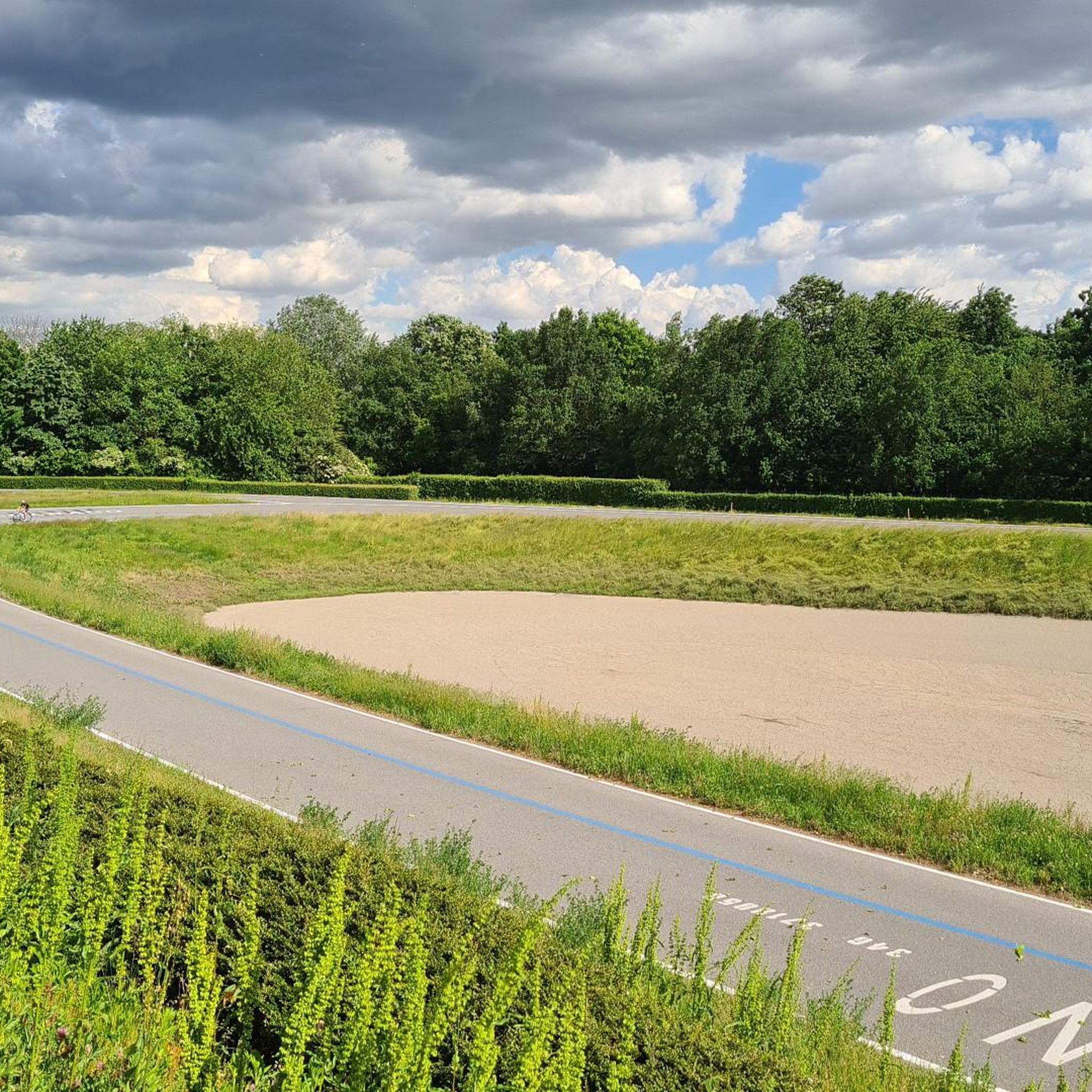
Parco Nord Milano extends for about 600 hectares between the districts of the northern periphery of Milan. Its conception dates back to the late 1960s, but it was only in 1975 that it was recognized by the Lombardy Region as a regional park. Its management is entrusted to a Consortium composed of the six Municipalities around the Park and the Province of Milan. The park is located in one of the most densely urbanized contexts in Europe, characterized by the presence of historic factories (now almost entirely disappeared as a result of de-industrialization) and large housing estates that, over time, have joined the northern periphery of Milan to its hinterland without any urban planning design. Parco Nord Milano currently boasts about 350 hectares of green areas, organized into wooded areas, clearings, rows of trees, shrub patches, hedges, and small bodies of water. Today, the park continues to expand and grow with the working methodology used over all these years, aware of its social, urban, and ecological role. The new reforestation lots, with small saplings of a few tens of centimeters protected by stakes, are the symbol of the growing park, of the investment in the future. But it is the management and maintenance of the green areas that best express the working methodology used: new problems have been met with new, technologically advanced solutions, in order to maintain that standard of quality of the green areas, that care and maintenance, which citizens have become accustomed to seeing, and which make Parco Nord Milano a concrete example of sustainable development for the entire city, similar to what happens in other major European cities. A place of quality, therefore, where technology, creativity, passion, and professional seriousness meet to satisfy the expectations of visitors and respond to the deep needs of the city.
1
0
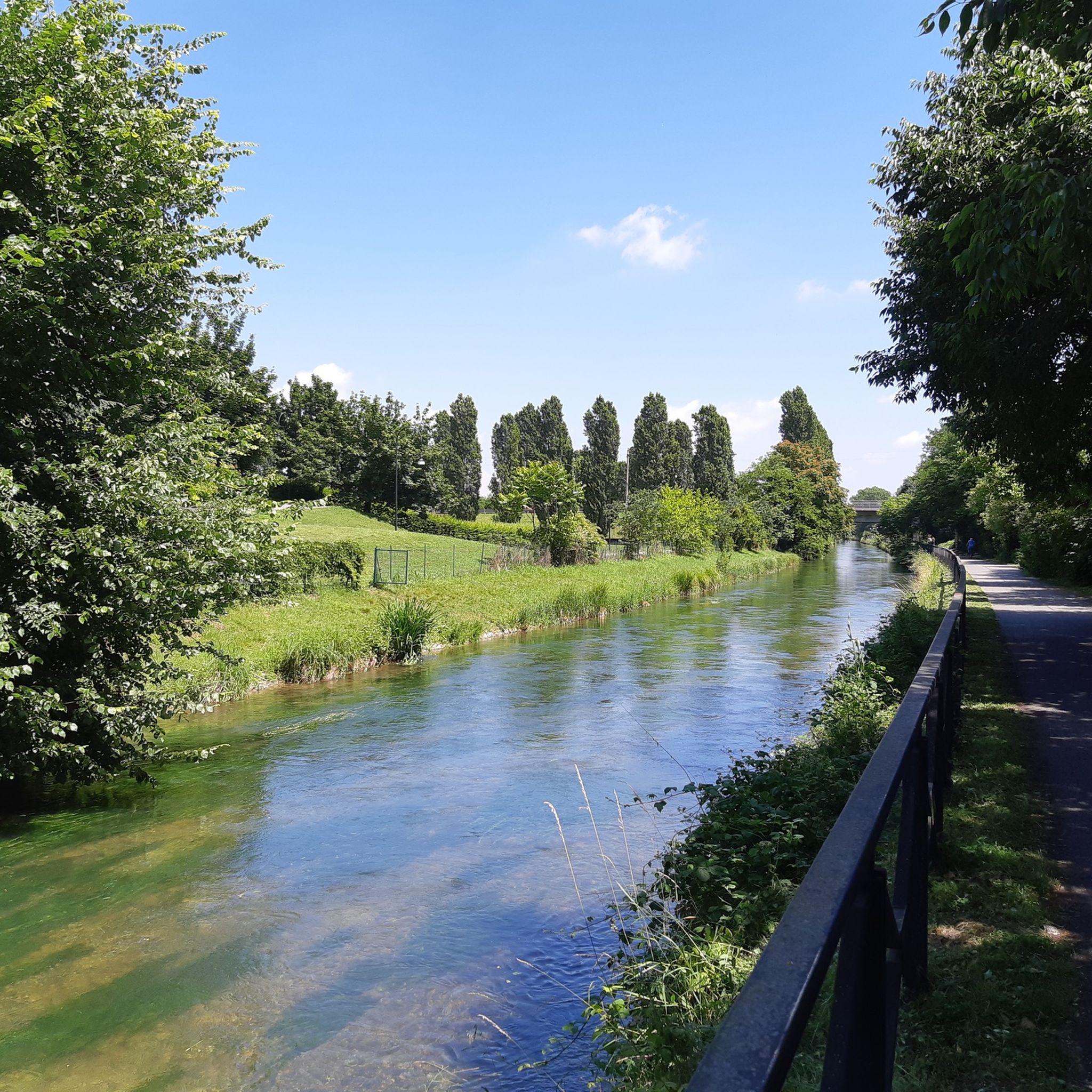
The Villoresi canal takes water from the river Ticino, in the locality of Panperduto, in the municipality of Somma Lombardo. After travelling 86 kilometers, through the provinces of Milan and Monza Brianza, it flows into the river Adda in the municipality of Cassano d’Adda. Construction work began in 1881 and was completed in 1891 to a design by Eugenio Villoresi. Originally intended exclusively for irrigation, following the crisis in crops related to silk production, the canal now allows water distribution in a plain area of approximately 85,000 hectares, through a network that totals around 3,000 kilometers. The paths, which are free of difficulties, accessible to everyone and certainly of interest, are part of the investments made to enhance the towpaths of the waterways, and are also considered a fast connection route between the various Municipalities bordering the canal.
1
0
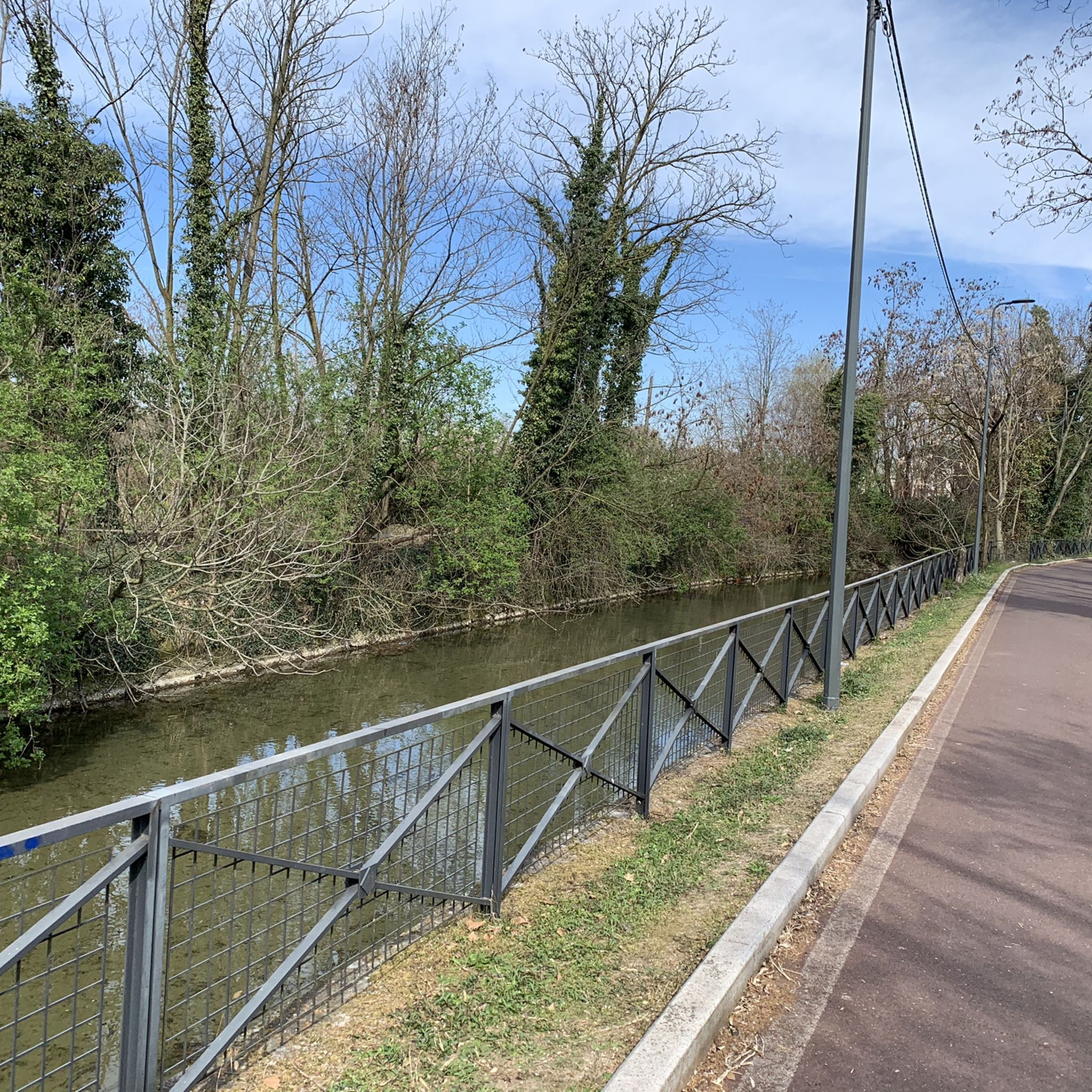
The Villoresi Canal towpath connects Arese and the nearby municipalities via cycle paths and service roads, offering a convenient cycle-pedestrian route along the artificial canal that connects the Ticino and Adda rivers.
0
0

bridge over the Lura in the homonymous park
0
0
The Villoresi canal draws water from the Ticino river, in the locality of Panperduto, in the municipality of Somma Lombardo. After traveling 86 kilometers, in the provinces of Milan and Monza Brianza, it flows into the Adda river in the municipality of Cassano d’Adda. Construction work began in 1881 and was completed in 1891 to a design by Eugenio Villoresi. Originally intended exclusively for irrigation purposes, following the crisis of crops connected with silk production, the canal now allows water distribution in a plain area of approximately 85,000 hectares, through a network that totals about 3,000 kilometers. The paths, free of difficulties, accessible to everyone and certainly of interest, are part of the investments made to enhance the towpaths of the waterways, and should also be considered a fast connection route between the various Municipalities bordering the canal.
1
0

The cycle bridge located in Parco Nord Milano that crosses via XX Settembre is one of the park's main cycle-pedestrian walkways, built in 1997 to unite the green areas between the municipalities of Bresso and Milano. It is located in the eastern area of the park, connecting Parco Nord of Bresso with the bordering area of Milano.
2
0
Il Parco del Lura is a local park of supramunicipal interest established for the protection and enhancement of the Lura stream valley in the stretch that extends from Cassina Rizzardi to Lainate. The municipalities adhering to the consortium are: Bregnano, Cadorago, Caronno Pertusella, Cassina Rizzardi, Cermenate, Garbagnate Milanese, Guanzate, Lainate, Lomazzo, Rovellasca, Rovello Porro and Saronno
0
0
The Villoresi Canal cycle path crosses the Lombardy countryside, running along the entire stretch of the Villoresi Canal, the historic waterway built for irrigating fields at the end of the 19th century by engineer Eugenio Villoresi. The Canal draws water from the Ticino river, near Somma Lombardo, and after a 86 km journey, returns it to the Adda river, near Groppello.
0
0
Frequently Asked Questions
How many mountain bike trails are available around Bresso?
There are nearly 300 mountain bike trails around Bresso, offering a wide range of options for all skill levels. You'll find approximately 98 easy routes, 174 moderate routes, and 23 more difficult trails to explore.
Are there mountain bike trails suitable for families in Bresso?
Yes, Bresso offers many family-friendly mountain bike trails, especially within Parco Nord Milano and along the Martesana Canal Cycle Path. These areas feature generally flat terrain and well-maintained paths suitable for various skill levels. For an easy ride through an urban park environment, consider the Lake Niguarda – Velodromo Parco Nord loop from Cormano-Cusano Milanino.
What kind of terrain can I expect on mountain bike trails near Bresso?
The terrain around Bresso is diverse, primarily featuring metropolitan parklands, canal-side paths, and wooded sections. Within Parco Nord Milano, you'll find a mix of wooded areas, open meadows, and paths along the Villoresi Canal. The terrain is generally flat with minor elevation changes. The Martesana Canal Cycle Path is mostly flat, with some sections including dirt roads, especially in wooded areas along the Adda river.
What is the best season for mountain biking in Bresso?
While mountain biking in Bresso is enjoyable year-round, spring and autumn generally offer the most pleasant conditions with mild temperatures and vibrant scenery. Summer can be warm, but the shaded sections within Parco Nord Milano and along the canals provide some relief. Winter rides are also possible, though conditions may vary.
Are there any loop mountain bike trails near Bresso?
Yes, many mountain bike trails around Bresso are designed as loops, allowing you to start and finish at the same point. A popular moderate option is the Villoresi Canal Cycle Path – Villoresi Cycle Path 🚲 loop from Cormano-Cusano Milanino, which takes you through the scenic Villoresi Canal area.
What are some notable landmarks or scenic views I can expect along the trails?
The trails around Bresso offer a blend of natural beauty and historical interest. Along the Martesana Canal Cycle Path, you can enjoy scenic views of cultivated fields, historic farmsteads, and villas. Within Parco Nord Milano, you'll encounter diverse landscapes including wooded areas and open meadows. You might also pass by highlights such as the Royal Villa of Monza or the Lambro Park on some routes.
Are there mountain bike trails with parking access in Bresso?
Yes, many mountain bike trails in and around Bresso, particularly those accessing Parco Nord Milano, have convenient parking options. The park is well-equipped to accommodate visitors arriving by car, making it easy to start your ride.
Can I access mountain bike trails near Bresso using public transport?
Bresso's proximity to Milan and its well-integrated public transport network make many mountain bike trails accessible. Parco Nord Milano, which borders Bresso, is well-served by public transport, allowing you to reach various starting points without a car.
What do other mountain bikers enjoy most about mountain biking in Bresso?
The mountain biking experience around Bresso is highly rated by the komoot community, with an average score of 4.2 stars from over 1,700 reviews. Riders often praise the extensive network of routes, the diverse landscapes within Parco Nord Milano, and the accessibility of the canal-side paths. The variety of routes, from easy to difficult, is also a frequently highlighted positive aspect.
Are there any advanced mountain biking routes in Bresso?
Yes, for experienced mountain bikers seeking a challenge, Bresso offers several difficult routes. One such trail is the Lambro Riverside Trail – Lake Alserio loop from Cormano-Cusano Milanino, a 72.2-mile (116.2 km) route that explores riverside paths and varied landscapes, typically taking over 7 hours to complete.
Are there any amenities like cafes or pubs near the mountain bike trails?
Given Bresso's location as a residential area bordering Milan, and the popularity of Parco Nord Milano and the canal paths, you'll find various amenities nearby. These areas are generally well-equipped with facilities, including cafes and refreshment points, especially in the more populated sections or at access points to the parks and canals.
Can I find mountain bike trails that offer significant elevation changes around Bresso?
While the terrain in Parco Nord Milano is generally flat with minor elevation changes, some routes near Bresso do offer more significant climbs. For example, the Villoresi Park – Bridge over the Lambro River loop from Cormano-Cusano Milanino includes over 350 meters of elevation gain, providing a more undulating ride.
Most popular attractions around Bresso

Get inspired with the komoot mobile app


Explore more
Browse the best MTB trails in other regions.
