The best MTB trails around Pontevico
4.0
(230)
936
riders
150
rides
Mountain bike trails around Pontevico are situated in the Lombardy region, characterized by the Oglio River and its extensive cycle route. The terrain offers a mix of landscapes, including tranquil plains of the Po Valley and sections within the Oglio Nord and Oglio Sud regional parks. Mountain bikers can expect diverse surfaces, with approximately 30% of the routes featuring dirt tracks, gravel, pebblestone, and other unpaved sections. This varied environment provides a range of experiences for off-road cycling.
Best mountain…
Last updated: August 25, 2026
4.0
(2)
8
riders
Moderate mountain bike ride. Good fitness required. Suitable for all skill levels.
3.5
(4)
8
riders
Moderate mountain bike ride. Good fitness required. Suitable for all skill levels.

Sign up for free
5
riders
Easy mountain bike ride. Great for any fitness level. Suitable for all skill levels.
8
riders
17.8km
01:12
80m
80m
Easy mountain bike ride. Great for any fitness level. Suitable for all skill levels.
5.0
(1)
4
riders
Moderate mountain bike ride. Good fitness required. Suitable for all skill levels.
Get access to more routes and recommendations from other explorers.
Sign up for free
Already have an account?
Our route recommendations are based on thousands of hikes, rides, and runs completed by other people on komoot.
Start today with a free account
Your next adventure awaits.
Login or Signup
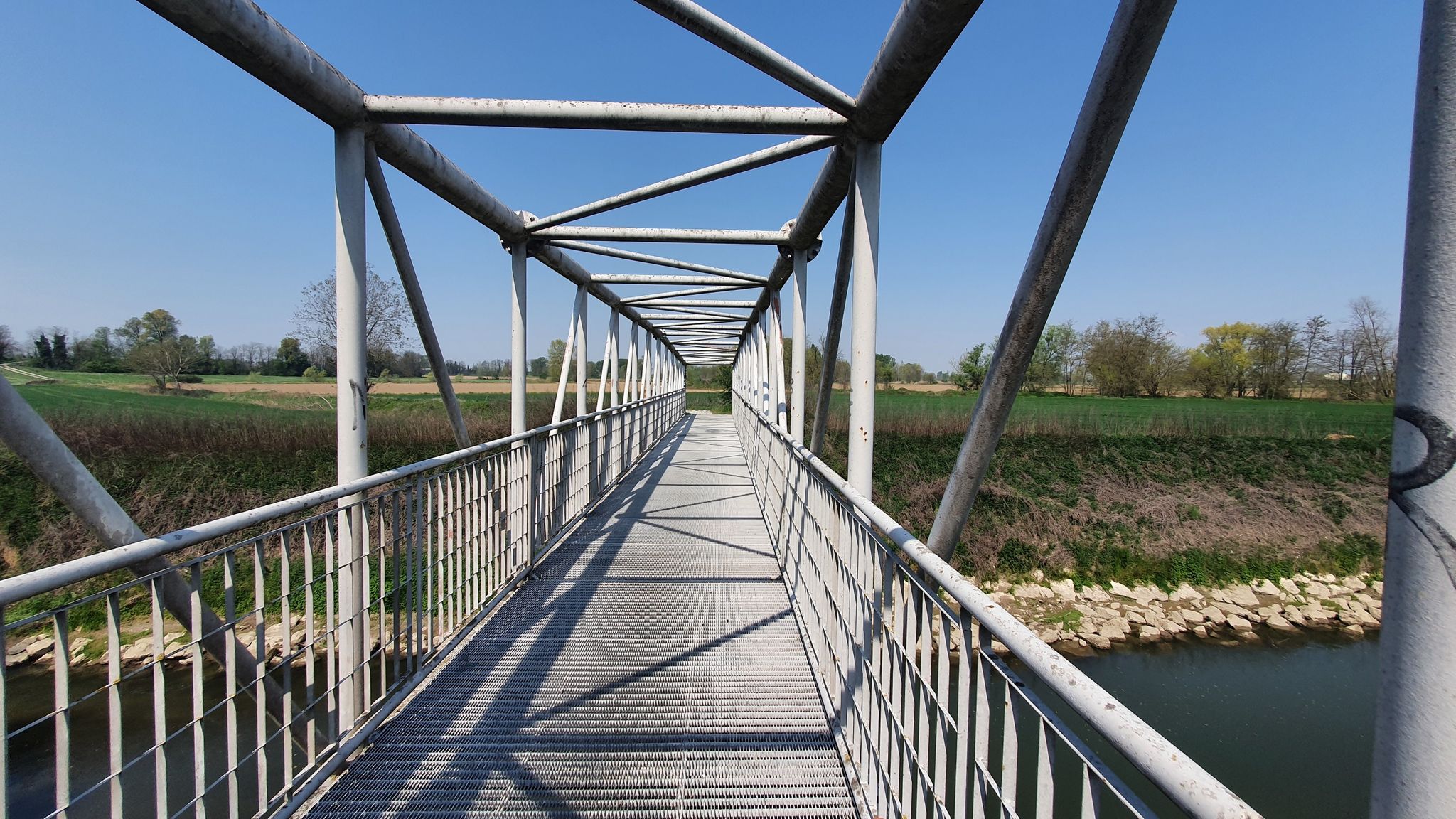
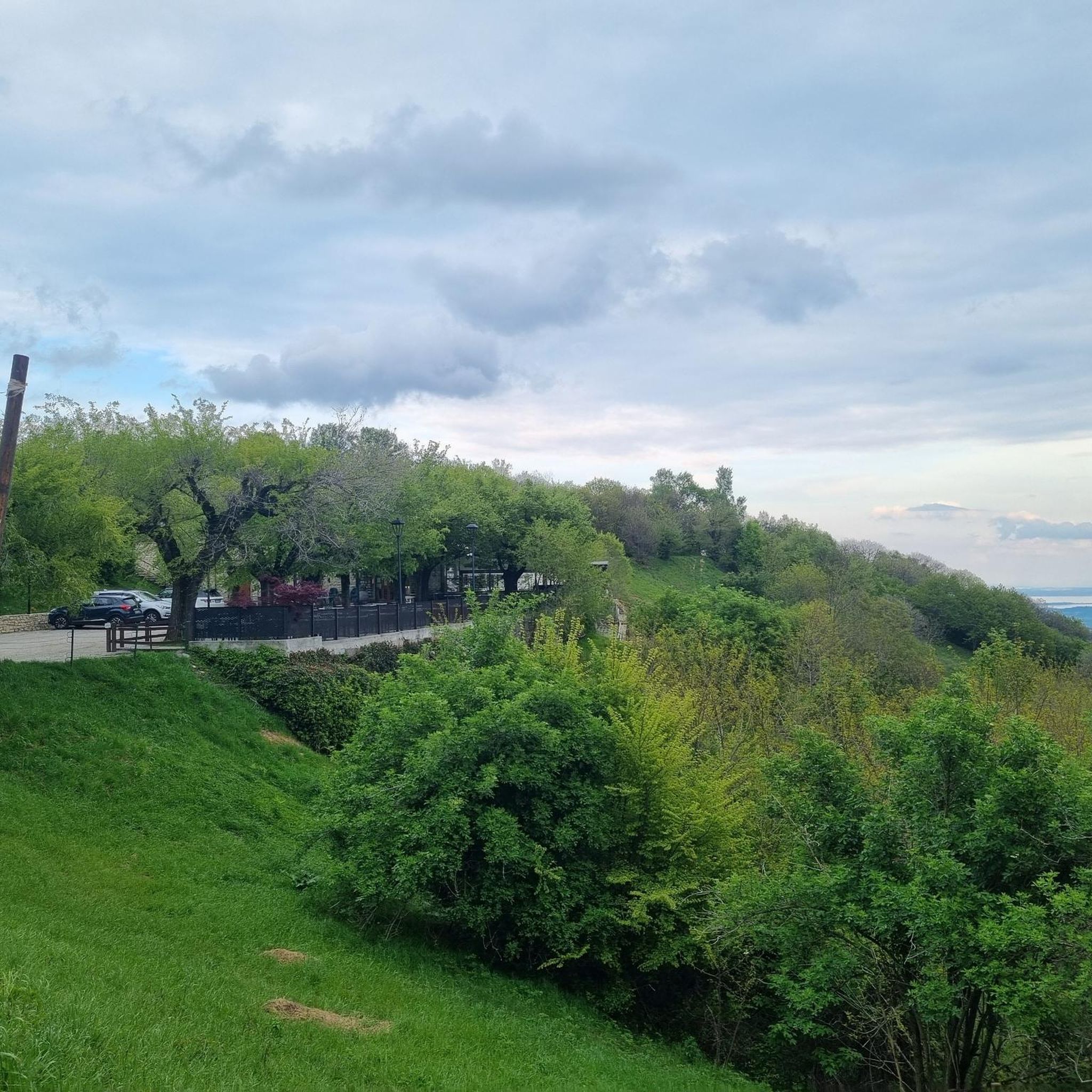
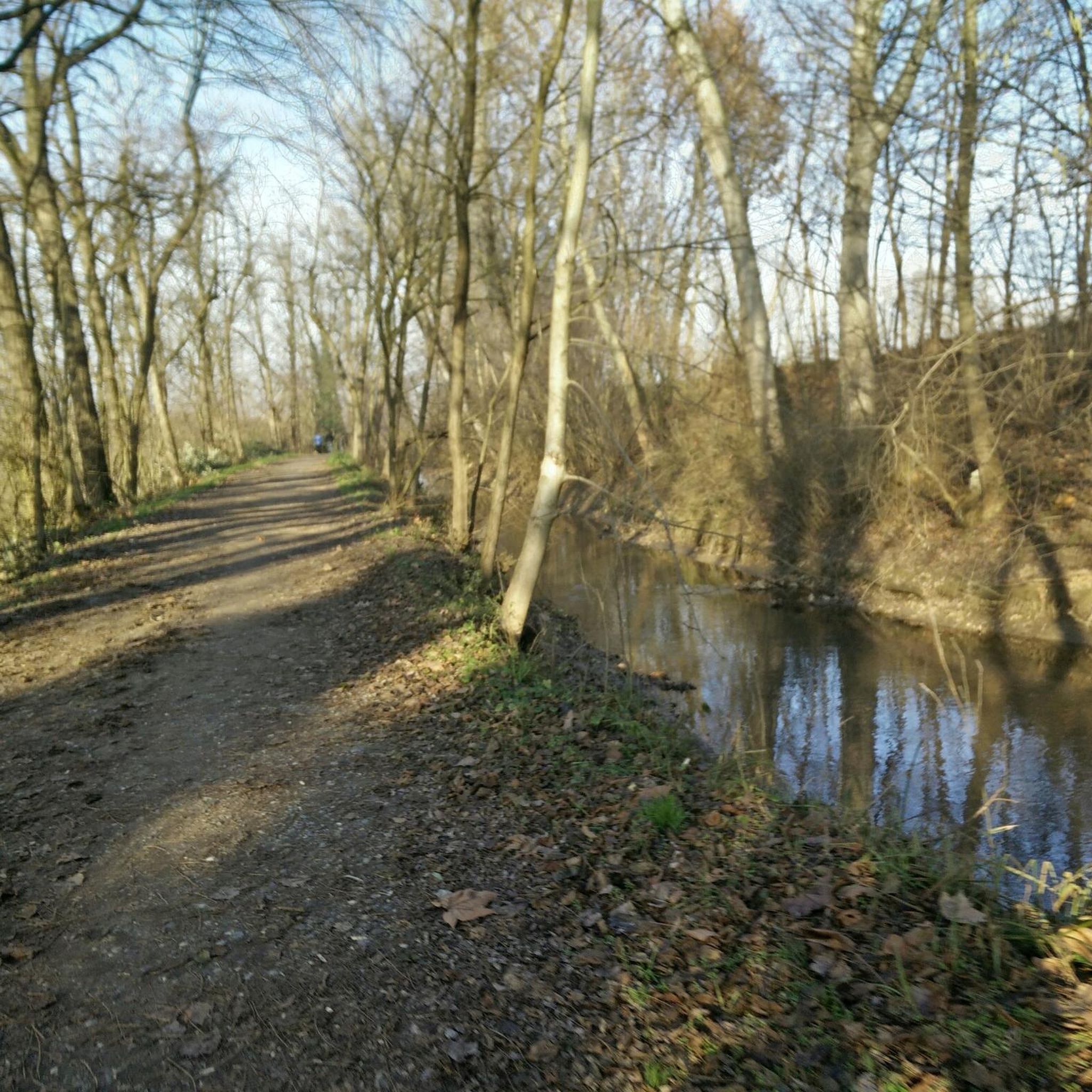

Other adventures around Pontevico

Tips from the Community

Pontevico is an Italian municipality of about 7,150 inhabitants located at the southern end of the province of Brescia, in Lombardy. The village stands in a historically strategic position along the Oglio river, which marks the natural border with the province of Cremona. The name derives from the Latin Pons Vici, which literally means "bridge of the village". The municipal territory is predominantly flat and includes the hamlets of Bettegno, Campazzo, Chiesuola and Toro. Local economy is historically divided between a strong agricultural vocation and an industrial textile development linked to the Bassa Bresciana district. The center is about 32 kilometers from the provincial capital Brescia and is easily reachable by car via the A21 motorway or by the Brescia-Cremona railway line.
0
0

Pure Gravel ride. With mixed stretches on asphalt to relax a bit. Alternating shade and sun, but I think mid-season is preferable. The stretch of Verolavecchia and Verolanuova is beautiful, with its architectural features. There are fun climbs and descents, for which, however, it's better to have good brakes (as always).
0
0

It is said that during a particularly harsh winter in the 19th century, the icehouse was filled to the brim with blocks of ice cut from the local canals and streams. The ice, covered with layers of pressed straw, lasted until the end of the summer. It seems that that year the village managed to preserve milk and meat longer than usual, avoiding waste and disease.
0
0


The Mirabello hydroelectric power plant built at the beginning of the 20th century supplied 140 kW of energy, mostly to the Municipality of Cremona. With the nationalization of electricity production, the small power plants in the area became unprofitable and were therefore abandoned.
22
0
Church rebuilt in 1579 reusing the materials of the previous church which dates back to 1100, enlarged several times during the following centuries
22
0

Smooth and fun gravel section, the "trullo" is very curious
0
0
Very pleasant stretch, especially in summer to escape a bit from the heat
0
0
Frequently Asked Questions
How many mountain bike trails are available around Pontevico?
Pontevico offers a wide selection of mountain bike trails, with over 140 routes available. These routes cater to various skill levels, including easy, moderate, and difficult options.
What kind of terrain can I expect on mountain bike trails near Pontevico?
The terrain around Pontevico is diverse, featuring a mix of landscapes shaped by the Oglio River. You'll find tranquil plains of the Po Valley, sections within the Oglio Nord and Oglio Sud regional parks, and varied surfaces. Approximately 30% of the routes consist of dirt tracks, gravel, pebblestone, and other unpaved sections, providing a rugged experience for mountain bikers.
Are there any family-friendly mountain bike trails in Pontevico?
Yes, Pontevico offers several family-friendly options. There are 55 easy routes that are suitable for less experienced riders or families looking for a relaxed outing. These trails often follow the gentler sections of the Oglio River Cycle Route, providing scenic and accessible rides.
What are some notable landmarks or natural features I can see while mountain biking in Pontevico?
While exploring the trails, you can encounter several interesting landmarks and natural features. The Oglio River itself is a central feature, and routes often pass through the diverse ecosystems of the Oglio Nord and Oglio Sud regional parks. You might also spot historical sites like the Castle of Pontevico, or pass by the Padernello Castle and the San Vigilio Bridge of Padernello. The Bosco del Lusignolo is another natural highlight along some routes.
Are there any circular mountain bike routes in the Pontevico area?
Yes, many mountain bike routes around Pontevico are designed as loops, allowing you to start and end in the same location. For example, the Bosco del Lusignolo – Strone River Park loop from Verolanuova is a moderate 39.3 km trail that takes you through natural areas and along the Strone River.
What is the best time of year for mountain biking in Pontevico?
The Lombardy region, including Pontevico, generally offers pleasant conditions for mountain biking from spring through autumn. Spring brings blooming landscapes, while autumn provides cooler temperatures and vibrant foliage. Summer can be warm, so early morning or late afternoon rides are often preferred. Winter riding is possible but may require appropriate gear for colder conditions.
What do other mountain bikers enjoy most about the trails in Pontevico?
The mountain bike trails around Pontevico are highly rated by the komoot community, with an average score of 4.0 stars from over 200 reviews. Riders often praise the diverse terrain, the scenic views along the Oglio River, and the extensive network of paths that cater to various skill levels. The mix of dirt tracks and natural landscapes is frequently highlighted as a key appeal.
Are there any mountain bike routes that explore the Strone River area?
Yes, several routes explore the Strone River. A good option is the moderate Trail Along the Strone River – Passable Trail Obstruction loop from Verolanuova, which covers 33.5 km and offers views of the riverine landscape.
Can I access the mountain bike trails using public transport?
While specific public transport connections directly to trailheads can vary, Pontevico is situated within the Lombardy region, which has a regional public transport network. It's advisable to check local bus or train schedules to nearby towns like Verolanuova, which serve as common starting points for many routes, and then plan your ride accordingly.
Are there places to eat or stay near the mountain bike trails in Pontevico?
Pontevico and its surrounding towns offer various amenities for cyclists. You can find local cafes, restaurants, and accommodation options in the municipality itself or in nearby villages. These establishments cater to visitors and provide convenient stops for refreshments or overnight stays after a day on the trails.
What is the difficulty level of mountain biking in Pontevico?
Pontevico offers a range of difficulty levels for mountain biking. You'll find 55 easy routes, 85 moderate routes, and 6 more challenging difficult routes. This variety ensures that both beginners and experienced mountain bikers can find suitable trails to enjoy.
Most popular routes around Pontevico
Most popular attractions around Pontevico

Get inspired with the komoot mobile app


Explore more
Browse the best MTB trails in other regions.
