The best walks and hikes around Robecco D'Oglio
3.1
(33)
127
hikers
23
hikes
Hiking around Robecco D'Oglio offers routes through the flat, agricultural landscapes of the Lombardy region, often following waterways and quiet country roads. The terrain is generally level, with minimal elevation changes, making it accessible for various fitness levels. The area is characterized by its network of canals and cultivated fields, providing a tranquil setting for outdoor activities.
Best hiking trails around Robecco D'Oglio
- The most popular hiking route is Naviglio Civico Cremonese Trail, a 6.4 miles (10.3 km) trail…
Last updated: May 20, 2026
8
hikers
10.3km
02:37
20m
20m
Hike the 6.4-mile Naviglio Civico Cremonese Trail, a moderate route along a historic canal through the Po Valley's rural landscapes.
3.4
(5)
7
hikers
15.8km
04:01
50m
50m
Hike the moderate 9.8-mile Il Cammino di Santa Giulia from Pontevico to Verolanuova, exploring the Oglio River and Castello Merlino.

Sign up for free
5.0
(2)
34
hikers
8.55km
02:10
20m
20m
Moderate hike. Good fitness required. Easily-accessible paths. Suitable for all skill levels.
5.0
(2)
22
hikers
10.7km
02:44
30m
30m
Moderate hike. Good fitness required. Easily-accessible paths. Suitable for all skill levels.
5.0
(3)
10
hikers
9.60km
02:27
30m
30m
Moderate hike. Good fitness required. Easily-accessible paths. Suitable for all skill levels.
Get access to more routes and recommendations from other explorers.
Sign up for free
Already have an account?
Our route recommendations are based on thousands of hikes, rides, and runs completed by other people on komoot.
Start today with a free account
Your next adventure awaits.
Login or Signup


Tips from the Community

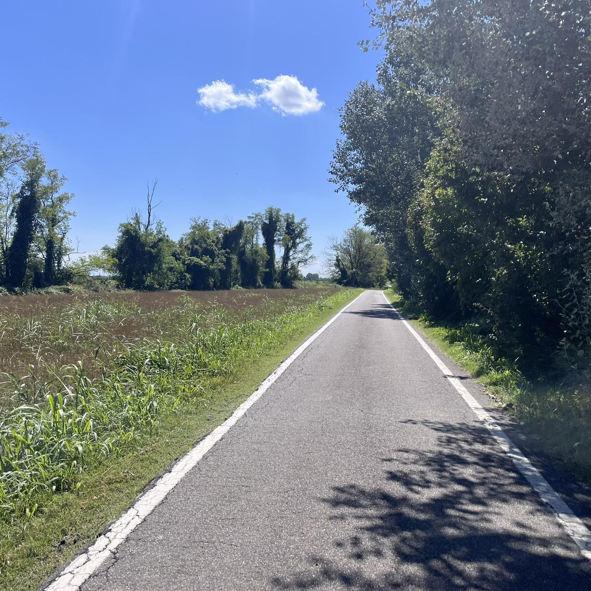
Penultimate stage of the Oglio cycle path
0
0


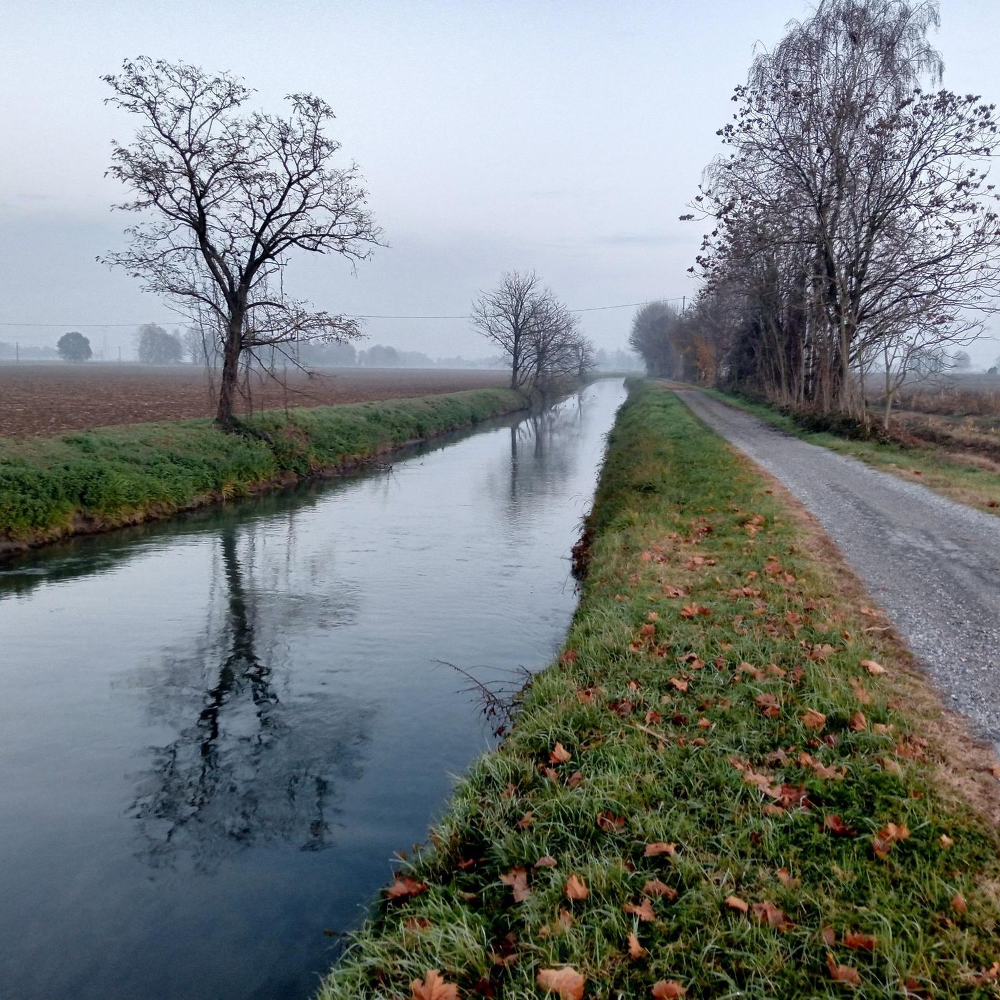
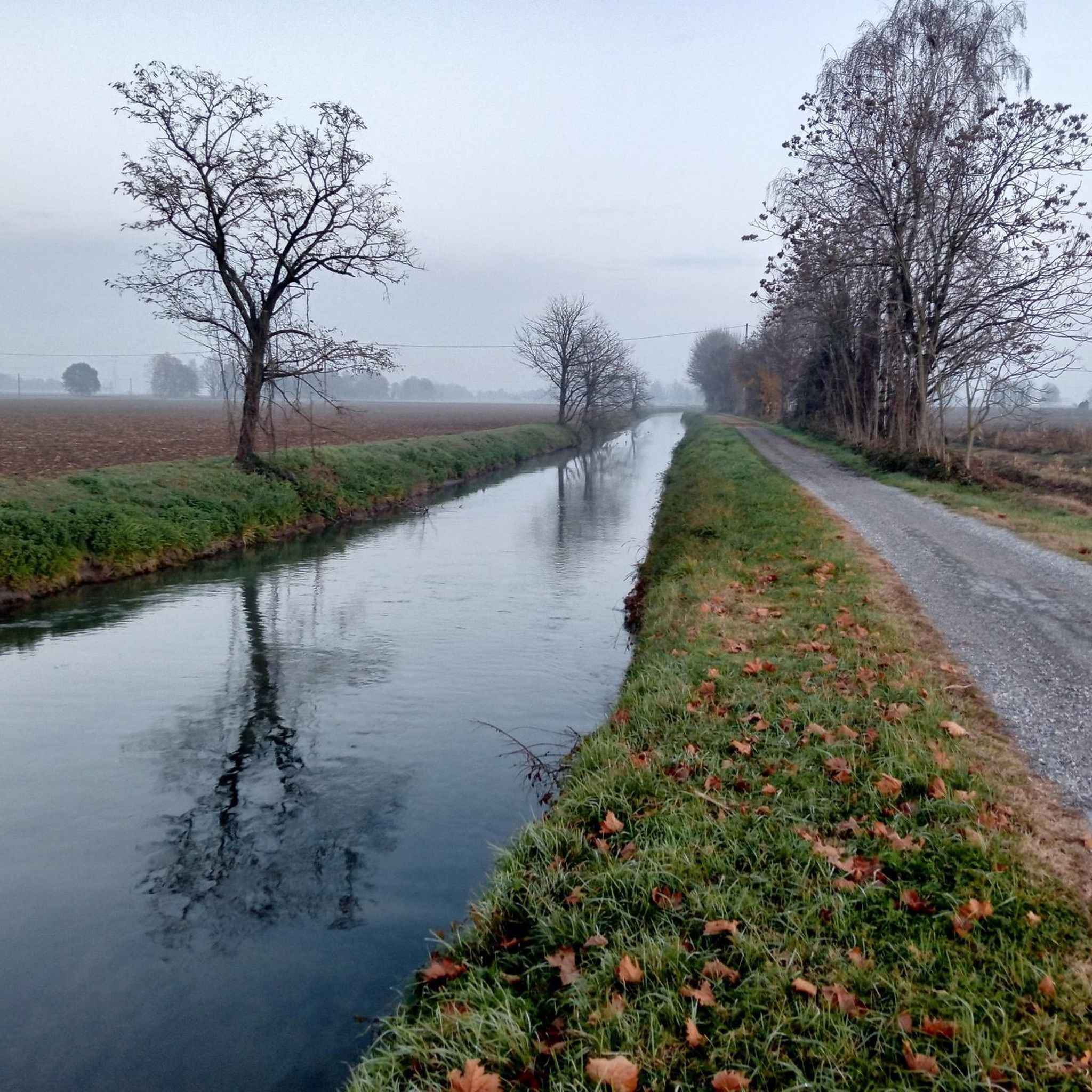
The Naviglio Pallavicino, a historic canal in the Cremona irrigation network, crosses the agricultural landscape with its waterways and bridges. A place where history and nature meet, offering a fascinating journey through fields and ancient villages.
0
0

the Vincellate farmhouse in the Strone river park
0
0

The Strone Park, along the suggestive 18 kilometers of the Strone river, was recognized as a local park of supra-municipal interest by the Lombardy region in 1990. Ideal for those who love cycling, it offers a well-trodden dirt surface, with the cycle path that winds near the river, offering a compelling experience in uncontaminated nature.
3
0

The Strone Park was born along the 18 km crossed by the Strone river: in 1990 the Lombardy region recognized this area as a local park of supra-municipal interest for its landscape and naturalistic qualities. Perfect for a cool ride in the summer totally in the middle of nature
3
0

The Strone river is a watercourse of only 18 km that winds between the hamlets of San Paolo, Verolanuova, Verolavecchia and Pontevico. Its park is an oasis of serenity where you can relax and sunbathe on the green meadows surrounded by leafy trees.
2
0

The perfect town to indulge in a little refreshing break while admiring this beautiful village.
1
0
Frequently Asked Questions
How many hiking trails are available around Robecco D'Oglio?
There are over a dozen hiking trails around Robecco D'Oglio, offering a variety of options for exploring the flat, agricultural landscapes and waterways of the region. You'll find routes suitable for different fitness levels.
Are there easy hikes suitable for beginners or families in Robecco D'Oglio?
Yes, Robecco D'Oglio is well-suited for beginners and families due to its generally flat terrain and minimal elevation changes. There are 7 easy routes available. These paths often follow canals and quiet country roads, providing a tranquil and accessible experience.
What kind of scenery can I expect on the hiking trails?
The trails around Robecco D'Oglio are characterized by flat agricultural landscapes, a network of historic canals, and cultivated fields. You'll often find yourself walking alongside waterways, offering a peaceful and scenic environment typical of the Lombardy region.
Are there any circular walks available?
Yes, there are several circular walks. For example, the Hiking loop from Bettegno is a popular 6.9-mile (11.1 km) route that takes you through rural landscapes and quiet villages. Another option is the Hiking loop from Verolanuova, which covers 9.6 km.
What are some interesting landmarks or attractions I can see while hiking?
Many trails offer glimpses of the region's heritage. You might encounter historic structures like Padernello Castle or the San Vigilio Bridge of Padernello. The area is also known for its waterways, such as the Naviglio Civico di Cremona, which many routes follow.
What do other hikers say about the trails in Robecco D'Oglio?
The trails in Robecco D'Oglio are highly rated by the komoot community, with an average score of 3.8 stars from nearly 20 reviews. Hikers often praise the tranquil atmosphere, the flat and accessible paths, and the pleasant scenery along the canals and fields.
Is it possible to reach the trailheads by public transport?
While Robecco D'Oglio is a smaller town, public transport options like local buses may connect to nearby larger towns. However, for direct access to many rural trailheads, a car is often the most convenient option. It's advisable to check local bus schedules for specific routes if you plan to rely on public transport.
Are there good parking options near the hiking trails?
Parking is generally available in and around the villages that serve as starting points for many trails. As the area is less densely populated, you can often find street parking or small public parking areas, especially near churches or town centers. Always check local signage for any restrictions.
What is the best time of year to go hiking in Robecco D'Oglio?
The best time to hike in Robecco D'Oglio is typically during spring (April-May) and autumn (September-October) when the weather is mild and pleasant. Summer can be warm, but the flat terrain and proximity to waterways can offer some relief. Winter hiking is possible, but paths might be damp, and daylight hours are shorter.
Are the trails suitable for dog walking?
Yes, the flat and open nature of the trails makes them generally suitable for dog walking. Many paths follow quiet country roads or canal banks, providing ample space. Always ensure your dog is on a leash where required, especially near agricultural areas or livestock, and carry waste bags.
Are there any less crowded or 'hidden gem' trails?
Given the region's focus on agricultural and canal paths, many routes offer a sense of tranquility away from large crowds. The Hiking loop from San Gervasio Bresciano is an 8.3 km moderate route that provides a peaceful experience through the local countryside, often feeling less frequented than more central paths.
Can I find cafes or places to eat near the hiking routes?
While the trails themselves often traverse rural areas, you'll typically find cafes, trattorias, or small shops in the villages and towns that the routes pass through or start from. It's a good idea to plan your stops in advance, especially for longer hikes, to ensure you can refuel.
Most popular routes around Robecco D'Oglio
Most popular attractions around Robecco D'Oglio

Get inspired with the komoot mobile app


Explore more
Browse the best Hikes in other regions.
