The best road cycling routes around Uitikon
4.5
(2204)
52,923
riders
529
rides
Road cycling around Uitikon offers varied terrain with significant elevation changes, situated at the northern end of the Albis hills. The municipality features extensive forested areas and agricultural land, providing scenic routes through woodlands and open fields. Cyclists can access routes leading to the Uetliberg, a prominent local mountain, and explore the Reppischtal valley. This topography provides options for both challenging climbs and rewarding descents.
Best road cycling routes around Uitikon
- The most popular road cycling route is Lake Türler – View of Türlersee loop from Zürich Schweighof, a 31.9 miles (51.4 km) trail that takes 2 hours 27 minutes to complete, offering views of Türlersee.
- Another top favourite among local road cyclists is View of Lake Zurich – View of Arth from Walchwil loop from Zürich Friesenberg, a difficult 78.4 miles (126.1 km) path. This route features expansive views of Lake Zurich and challenging terrain.
- Local road cyclists also love the Reppischtal Valley Cycle Path – Reppis Valley Cycle Path loop from Ringlikon, a 14.0 miles (22.6 km) trail leading through the scenic Reppischtal Valley, often completed in about 1 hour 5 minutes.
- Road cycling around Uitikon is defined by the Albis hills, Uetliberg, and the Reppischtal valley, with routes traversing forests and agricultural fields. The network offers options for easy, moderate, and difficult ability levels.
- The routes in Uitikon are highly rated by the komoot community with an average score of 4.5 stars from over 2,100 reviews. More than 53,000 road cyclists have used komoot to explore Uitikon's varied terrain.
Last updated: May 28, 2026
4.6
(26)
566
riders
51.7km
02:29
670m
670m
Moderate road ride. Good fitness required. Mostly well-paved surfaces and easy to ride.
4.8
(4)
411
riders
126km
05:53
1,300m
1,300m
Hard road ride. Very good fitness required. Some segments of this route may be unpaved and difficult to ride.

Sign up for free
5.0
(5)
336
riders
64.5km
03:05
820m
820m
Moderate road ride. Good fitness required. Some segments of this route may be unpaved and difficult to ride.
4.6
(13)
278
riders
Easy road ride. Great for any fitness level. Mostly well-paved surfaces and easy to ride.
61
riders
102km
04:44
1,210m
1,210m
Hard road ride. Very good fitness required. Mostly well-paved surfaces and easy to ride.
Get access to more routes and recommendations from other explorers.
Sign up for free
Already have an account?
Our route recommendations are based on thousands of hikes, rides, and runs completed by other people on komoot.
Start today with a free account
Your next adventure awaits.
Login or Signup
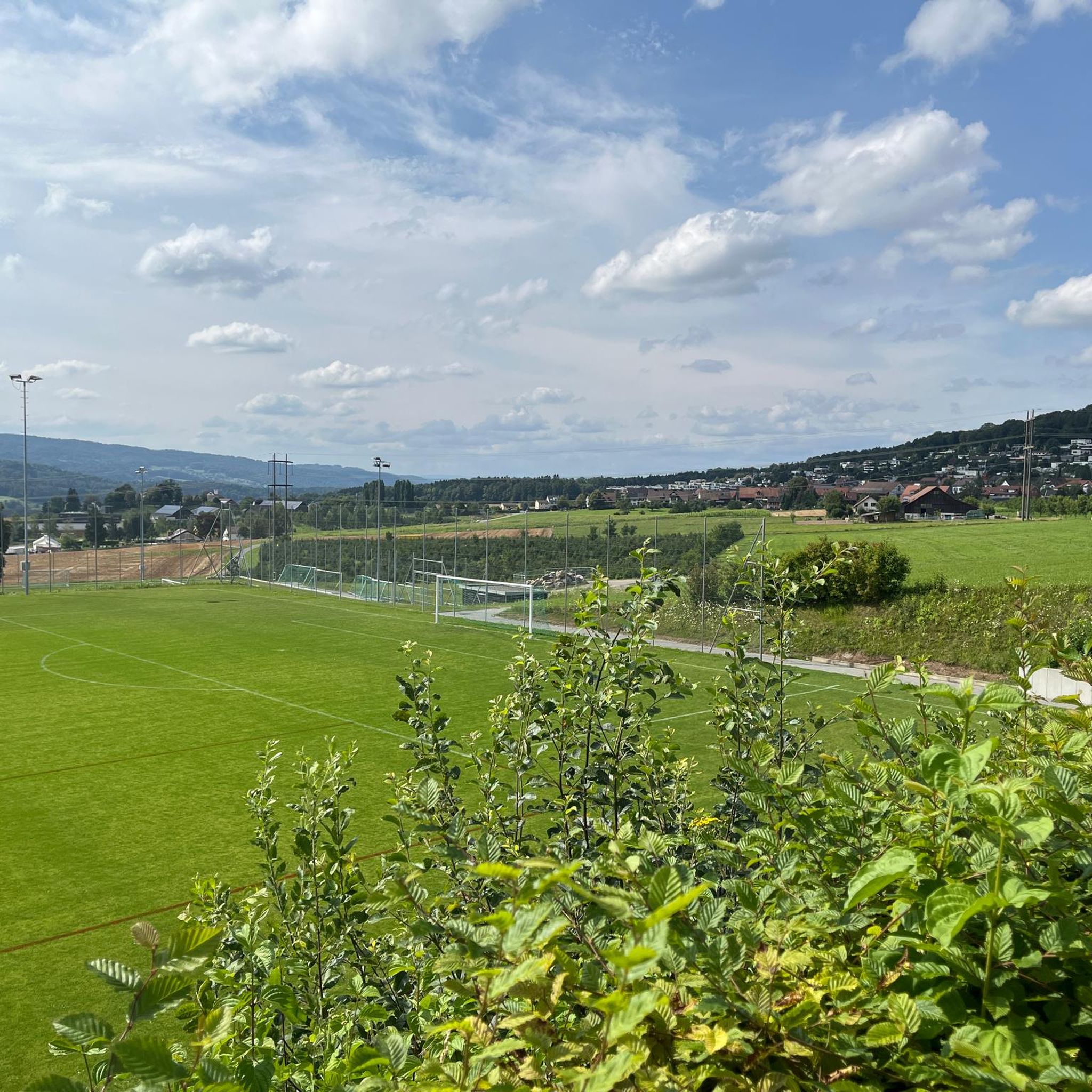
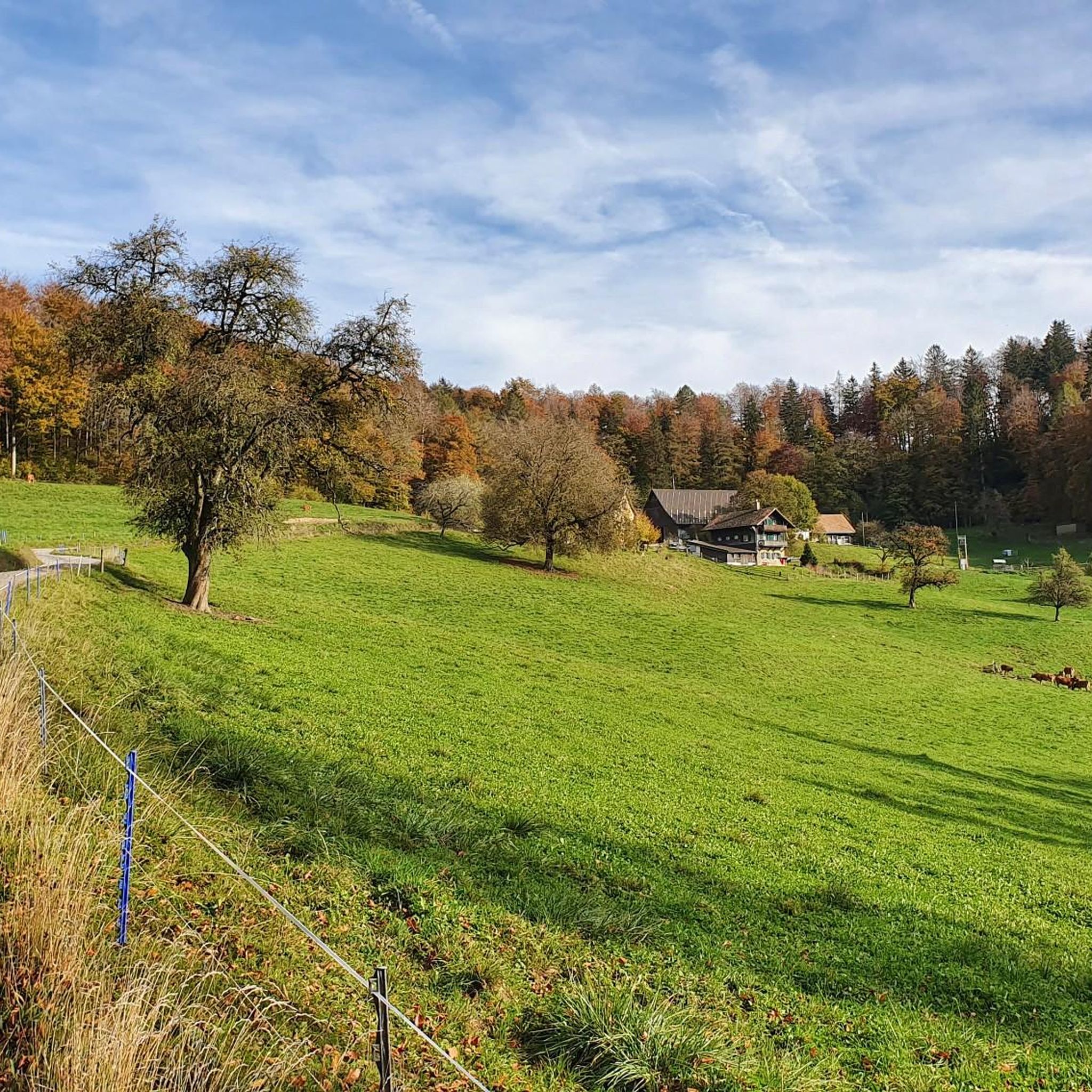
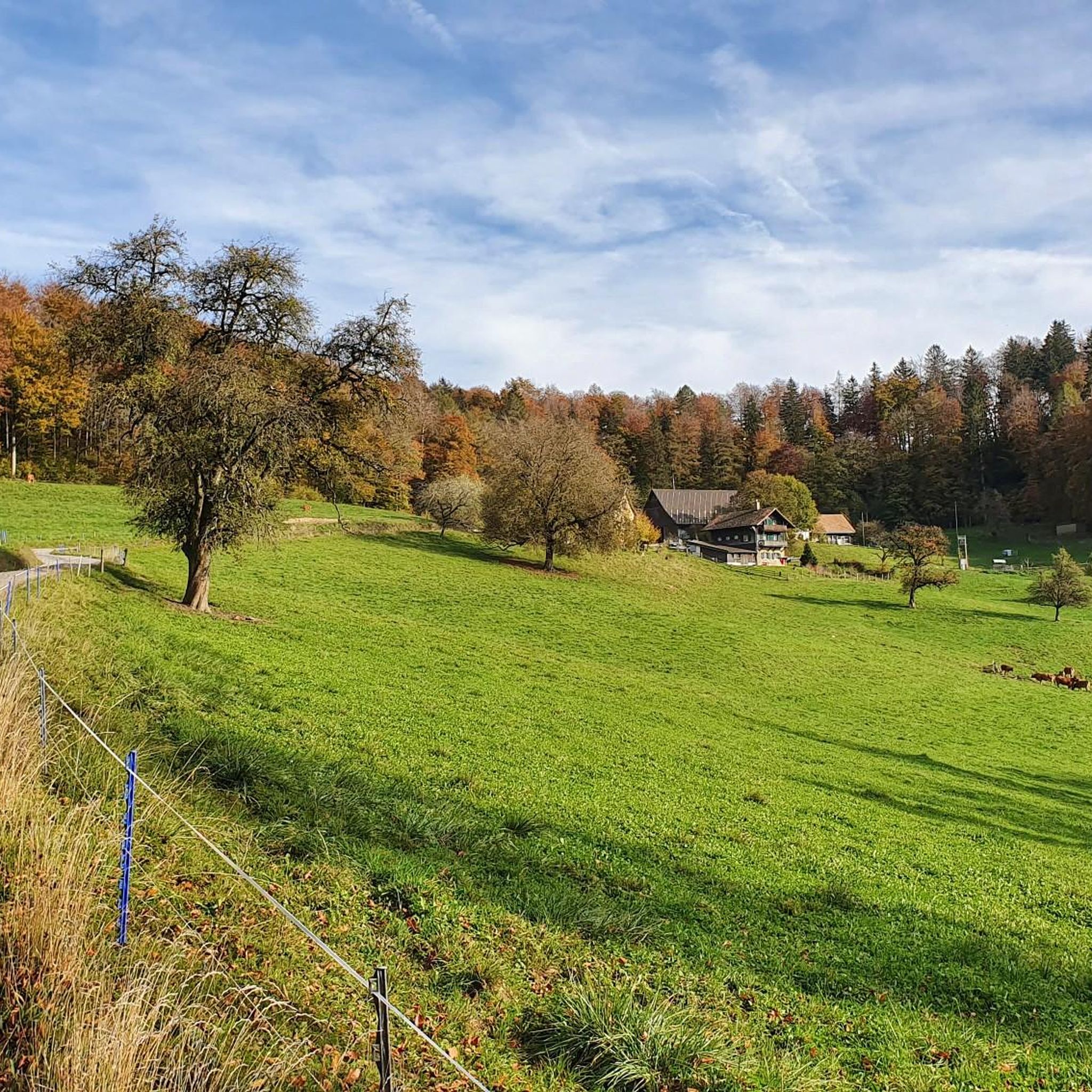

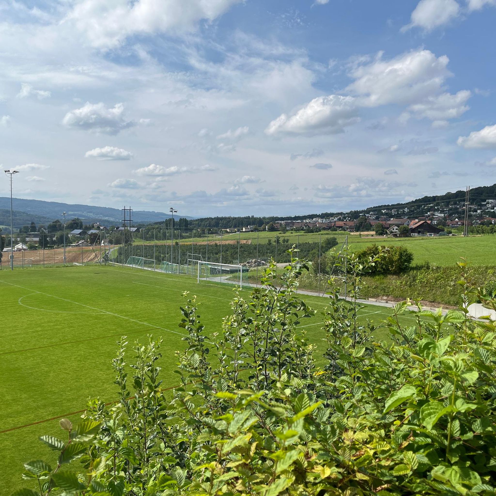
Tips from the Community

Superbly made cycle path, simply top
0
0
Beautiful view of Lake Zug with distant views
0
0
Great little lake, highly recommended...
0
0
Top region for biking, beautiful lake and great scenery
0
0
Superb view, simply fantastic...
0
0
Frequently Asked Questions
How many road cycling routes are available around Uitikon?
Uitikon offers a wide variety of road cycling routes, with over 530 options available. These routes cater to different skill levels, including easy, moderate, and difficult rides.
What kind of terrain can I expect when road cycling around Uitikon?
Road cycling around Uitikon features varied terrain with significant elevation changes, as it's situated at the northern end of the Albis hills. You'll encounter challenging climbs and rewarding descents, with routes traversing extensive forested areas and agricultural land, offering scenic views through woodlands and open fields. The proximity to Uetliberg mountain also means routes often include ascents to higher elevations.
Are there routes suitable for beginners or those looking for an easy ride?
Yes, Uitikon has options for all skill levels. There are 74 easy road cycling routes available, perfect for beginners or those seeking a more relaxed ride. An example of an easier route is the Reppischtal Valley Cycle Path – Reppis Valley Cycle Path loop from Ringlikon, which is 14.0 miles (22.6 km) long.
Where can I find challenging road cycling climbs in Uitikon?
For cyclists seeking a challenge, Uitikon's location at the Albis hills and near Uetliberg provides numerous routes with crisp climbs and significant elevation gains. There are 189 difficult routes to explore. The View of Lake Zurich – View of Arth from Walchwil loop from Zürich Friesenberg is a demanding 78.4 miles (126.1 km) path featuring expansive views and challenging terrain.
Are there any scenic viewpoints or landmarks to see along the road cycling routes?
Absolutely. Many routes offer breathtaking panoramic views. You can cycle towards the Uetliberg summit, which boasts the Uetliberg Summit Viewpoint and the Uetliberg Observation Tower and the Uto Kulm Restaurant, offering vistas of Zurich, Lake Zurich, and the distant Alps. Other routes might pass by natural features like Lake Türler.
Can I find circular road cycling routes in Uitikon?
Yes, many road cycling routes around Uitikon are designed as loops, allowing you to start and end at the same point. Examples include the Lake Türler – View of Türlersee loop from Zürich Schweighof and the Lake Türler – Lake Zug Promenade loop from Zürich Triemli.
What do other cyclists say about road cycling in Uitikon?
The road cycling routes in Uitikon are highly rated by the komoot community, with an average score of 4.5 stars from over 2,100 reviews. More than 53,000 road cyclists have used komoot to explore the varied terrain, often praising the scenic routes through woodlands and open fields, as well as the challenging climbs and rewarding descents.
Are there options for long-distance road cycling?
Yes, Uitikon serves as a great starting point for longer road cycling adventures. For instance, the Lake Türler – Lake Zug Promenade loop from Zürich Schweighof is a difficult 102.5 km (63.7 miles) route, offering an extensive ride through varied landscapes.
What is the best time of year for road cycling in Uitikon?
Given Uitikon's diverse landscape and elevation changes, road cycling is enjoyable for much of the year. Spring and autumn offer pleasant temperatures and beautiful scenery, while summer provides longer daylight hours. Cyclists should always check local weather conditions, especially for higher elevations like Uetliberg, as conditions can change.
Are there places to stop for refreshments or a break along the routes?
Yes, several routes pass by establishments where you can take a break and refuel. For example, the Altberg Forest Inn and the Uetliberg Tea Hut are popular spots that cyclists can incorporate into their rides.
How accessible are the road cycling routes by public transport?
Uitikon's proximity to Zurich means many routes are easily accessible by public transport. Several routes start from districts within Zurich, such as Zürich Schweighof or Zürich Friesenberg, which are well-connected by train and bus, allowing cyclists to reach starting points conveniently without a car.
Are there family-friendly road cycling options in Uitikon?
While Uitikon is known for its varied terrain and elevation changes, there are easier routes that can be suitable for families, especially those with some cycling experience. The 74 easy routes provide less strenuous options, often traversing flatter sections of the Reppischtal valley or agricultural fields. Always check the route's difficulty and elevation profile to ensure it matches your family's capabilities.
Most popular routes around Uitikon
Most popular attractions around Uitikon

Get inspired with the komoot mobile app


Explore more
Browse the best Road cycling routes in other regions.
